| Report Type | Full |
| Peak(s) |
Unnamed 13505 - 13,505 feet "Baldy Lejos" - 13,118 feet "Phoenix Peak" - 13,904 feet La Garita Peak - 13,725 feet Organ Mountain - 13,808 feet Unnamed 13308 - 13,308 feet Stewart Peak - 13,988 feet Unnamed 13166 - 13,166 feet Unnamed 13408 - 13,408 feet San Luis Peak - 14,023 feet |
| Date Posted | 07/23/2020 |
| Modified | 07/24/2020 |
| Date Climbed | 06/22/2020 |
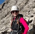
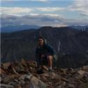
| Author | Ptglhs |
| Garita Grand Slam |
|---|
|
There's no getting around it: 2020 is a weird year for most of us. Anxiety, uncertainty, and frustration seem to be common themes. I'm sure I'm not alone when I say early this spring I was fearful of contracting the coronavirus, and spent about a week in April exceptionally freaked after I had been told I was exposed. It's incomprehensible to me that I didn't contract it, given my level of exposure, but after 12 days I decided to try to put the fear of what might be, or could have been, behind me. 14 days after exposure I was standing on the summit of Bald mountain near Breckenridge, feeling no more out of breath than usual. Like a lot of other members of this site I was, and am, out of work. I decided that since I had a summer off from my normal duties of running 10-15 miles at least 3 days a week I could make use of the time by doing longer backpacking and peak bagging trips than is usually feasible. Making the best out of a bad situation and satisfying my love for the alpine together sounded better than playing video games and eating junk food at my place! I decided to try to climb all 22 peaks in the La Garita Range over 13k. When debating where to hike I looked at the 14er map with 13ers enabled and saw the La Garita Range: a clump of pink markers situated discreetly east and north of most of the San Juans. They satisfied a variety of requirements:
Once I decided where I was going to hike I started researching the various peaks. Here I'm grateful to the Climbing Cooney's for their website, and 14ers.com users for user submitted routes and trip reports. Danger_D, SnowAlien, and Bergsteigen, among others, stand out as being particularly useful. I felt it could take some work, but I could probably keep the trip ~class2. A bigger problem was how would I bring enough food with me? I was figuring on 12 days on peakbagging. That was ~30k calories. I doubted I could carry enough food and fuel in my old pack. A solution presented itself when I was discussing this trip with my family. My mom loves the outdoors. At 72 she couldn't do the trip with me, though she and I do some mellow 5-10 mile days in Texas in the winter, but she wanted to help and offered to resupply. My sister and her husband wanted to take their summer vacation at the same time. Last year the 3 of us did a bit of backpacking in California, and this year they decided to see my folks and spend some time on the CDT with me. After a fair bit of palavering, and several revisions to the plan, we agreed to meet on or about Sunday the 28th at the TH, spend the night near Creede, and depart the next morning. I had decided to go west to east, to end on a easier day and to end lower than I started, though not by much. Looking at how I was going to break the peaks up I realized I had a problem: camping near treeline along the CDT, south of San Luis, would leave me doing 15 miles, and ~4500 ft of gain on one day, all above treeline. I decided to break up the peaks a bit more and tackle Stewart, Baldy Chato, and Column Ridge before getting on the trail. I later also decided to do Organ mountain as a car camp too, thus negating either a traverse from San Luis, or a scree fest up its slopes. I loaded up everything and started driving on Sunday, the 21st. Roads and rivers get smaller as we go higher up into what will always be the final asylums of liberty, the mountains. US highways lead to state highways to county roads to forest service roads to off road camping. Willow Basin is beautiful, and it was deserted while I was there too boot. 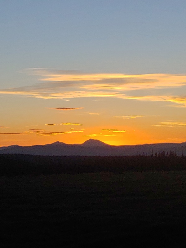
Starting up the Cebolla trail it was initially very easy to follow. I definitely turned off too soon, though it wouldn't have mattered. The trail is hidden in the willows. While there are a couple of cairns or vertical log markers getting from one to the other is a willow bash no matter how one does it. I can't imagine show short people fare in the overgrowth. :/ 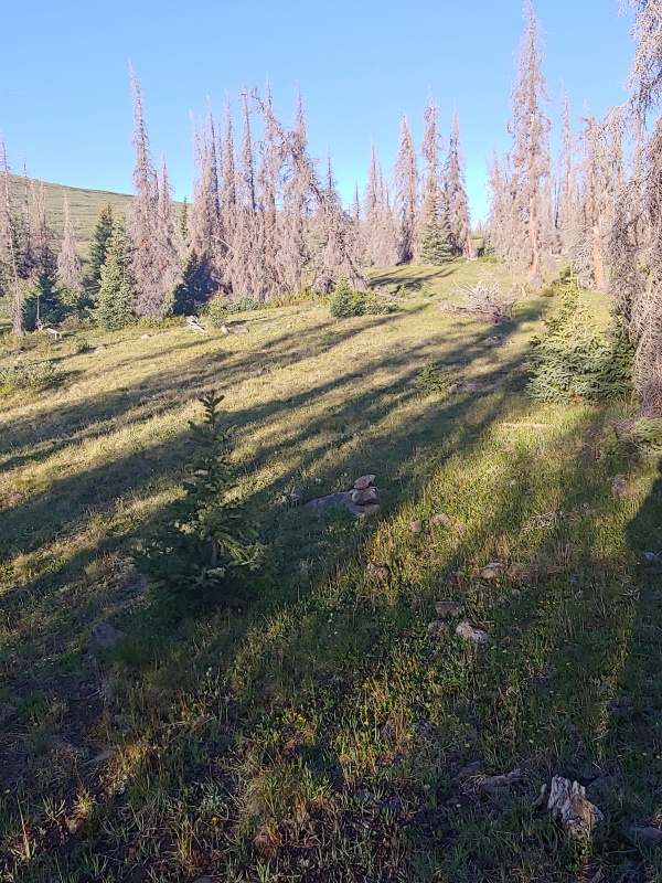

Up on Baldy Chato the weather was beautiful, and I could see the route and upper basin to Column Ridge and Stewart Peak. The San Juans, as have been noted, are a weird mix of grassy walk-ups and WTF scree and steep, unforgiving slopes. The Cebolla trail emerges from the willows onto tundra after where I turned off and drops over a the ridge before roughing paralleling the CDT from the north. What I originally thought was a goat trail was actually a forest service human footpath! 
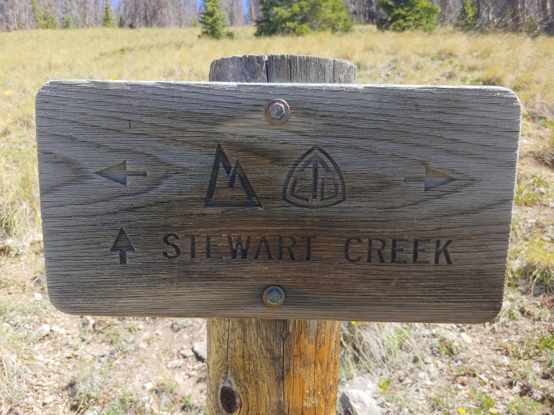
The route over to Column and Stewart was uneventful, and the views of the 2nd half of the CDT I'd be on in a few days time were beautiful. I made decent time back to my car. Cebolla TH is a great way to access these peaks. It's nearly 11.5k and the TH has a sign, map, and water. I drove down some very well maintained dirt roads to the Eddiesville TH for another round of car camping. 
Shortly after an afternoon snack at Eddiesville and finally seeing people, I had an uninvited dinner guest. An easy night followed and I rolled out of camp a bit stiffer than I'd like, and a bit later than I wanted. I hit the trail by about 630 the next morning. 
While the route up Organ starts out as a trail, it quickly deteriorates. There is a faint use trail which fades nearly into oblivion in the riparian areas. Sticking to climbers right of the creek, and later, the gully, as the creek peters out about 11.2k, let me follow trail segments and the occasional rock on a fallen log. There's a collapsed jenga tower of deadfall from 11.4-11.6k.  Faint, unsigned trail heading up Hondo Canyon to the right. 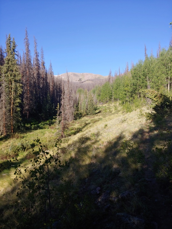
 Dead fall on the trail. Dead fall on the trail.
This time I was grateful to see the willows after the beattle kill hurdling I had done below treeline! The steepest part is from 12.3-12.8k and then Organ's east slopes mellow out and there are even trail segments. I radnomly found 2 AA batteries which looked like they had been dropped recently. I fully support returning things to their rightful owners, but I thought a lost and found post on here would have been overkill! I had Organ's summit to myself and enjoyed the changing perspectives. 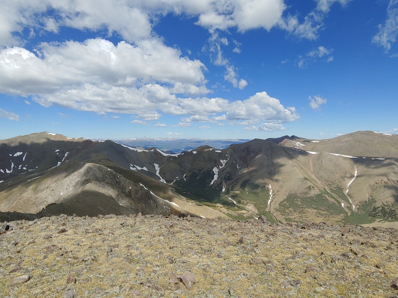
There was definitely some cursing while I slogged my way over the deadfall and down to the trail segments and my car. Anyone taking this route: there are trail segments and cairns from the CDT up to 12k. If you lose them search in between the gully and about 200 yards to climbers right. It's there. 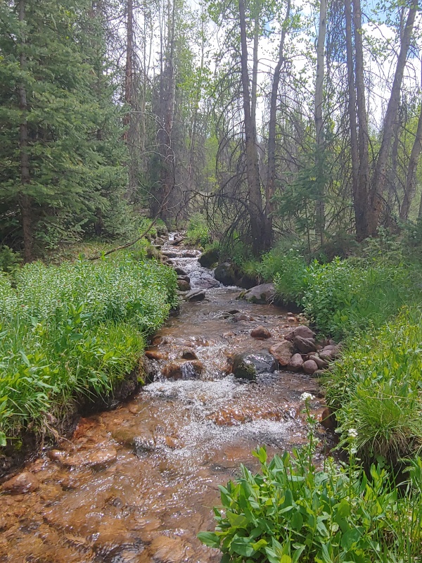
I decided to treat myself to a hotel, hot meal, and shower in Gunnison that night. The shower was amazing, 3500 calories of Domino's was devoured, and I slept in late by hikers standards, 0700. When I decided to get going it was about 9. The plan was to do some laundry, replace my broken swiss army knife, get some food, and head out for Spring Creek pass. Life decided I needed an additional challenge. 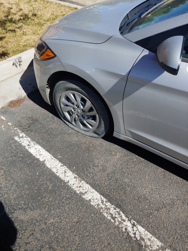
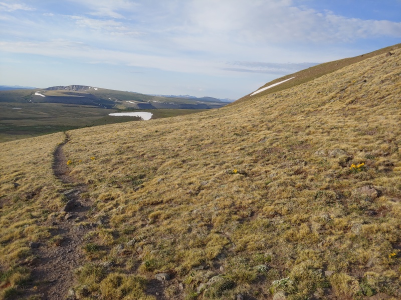
An extra hour later with a patched tire and I was on my way. I made Spring Creek pass about 2pm. I ran into another forum member who had just descended from Baldy Cinqo, so I was able to get some decent beta. Thanks to mtngoatwithstyle (spelling?). With a Heavier pack than I had yet had that year, and at the hottest part of the day, I ground out about 1700ft of gain and made snow mesa late afternoon. The rolling tundra hills, with small creeks every half mile, was beautiful in the late afternoon, late June melt. I felt the normal trepidation of leaving home and hearth, and cell service, and all the trappings of civilization behind. I'm not sure if it's creature comforts I miss, or a departure from the norm I find disquieting, or just a sense of loneliness when I begin a sojourn by myself. Hiking is better with a partner I decided, as I listened to my MP3 player on random: Garth Brooks, Public Enemy, Nightwish, Iron Maiden, Beethoven, and the Foo Fighters -among others- accompanied me as I did my first day of backpacking. 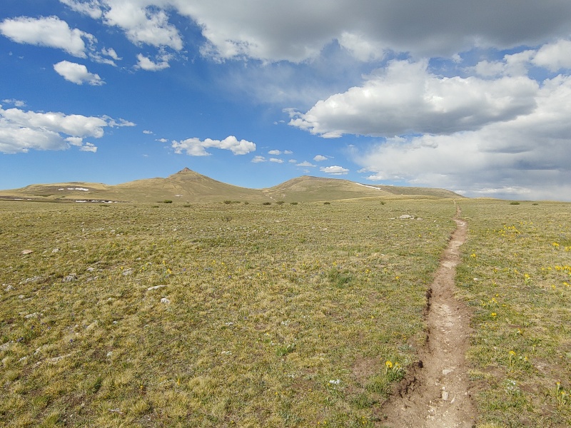
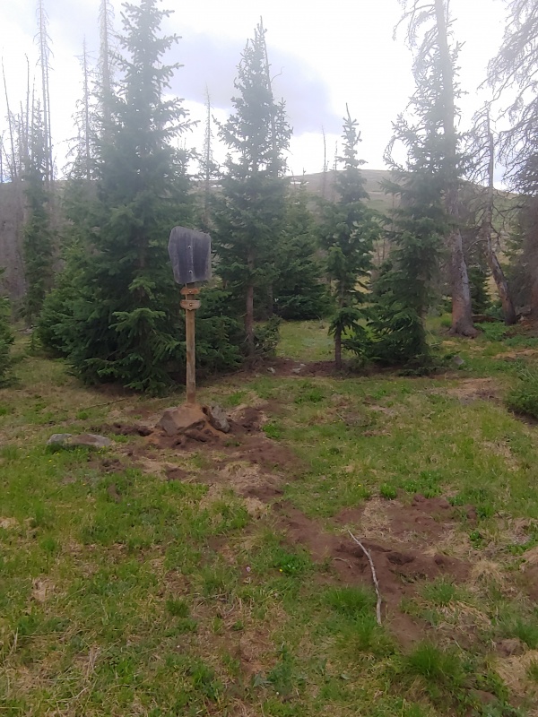
Some of what I saw on the CDT I found odd. Human placed structures which seemed to serve no purpose, or decorative trash which was obviously carried in on foot. I wondered if it was left intentionally or by accident. 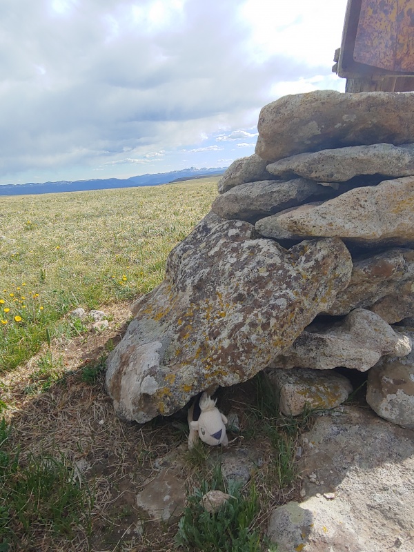
At the western end of snow mesa, almost due south of Unnamed 13162 A I set up camp and enjoyed the evening. The alpine stream into the lake was moving gently, so I took advantage of the sun to bath and wash off the sweat of my 1st day of a full pack. I did have an unexpected animal encounter that evening. Around 7 I glanced over and saw 2 rocks which I had sworn were not there when I set up. It turned out to be a mama porcupine and her baby. 1st time I've ever seen a porcupine in the wild. 
Weather forecast had called for early storms the next day so I set out from my 12.3k camp site before 6. I was on the 1st summit, 13,162A, by 630. I was greeted by a coyote who skittered away, and cell service. 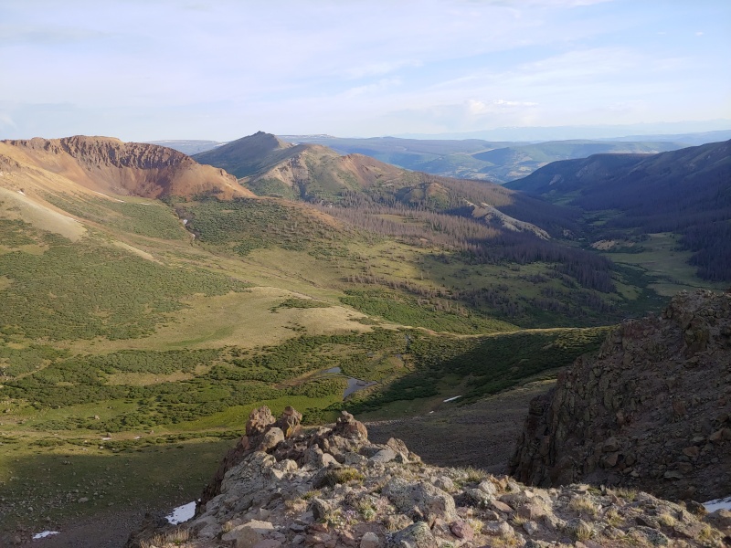
I did the next 2 peaks quickly: pushed hard on the gain, tried to avoid sliding down anything loose on the descent, and not lose too much elevation I'd have to regain. I was surprised on my way to Baldy Cinco, by an elk heard well over 13k. 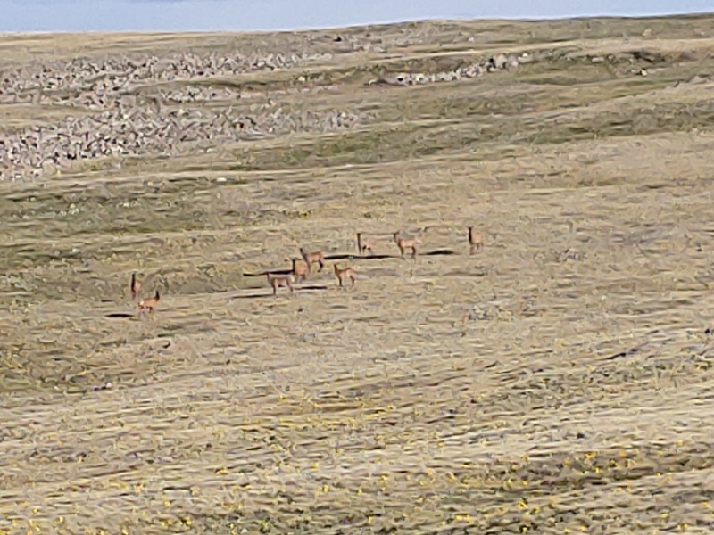
I knew I was hiking away from my camp to get to No Es Cinco, and on the way back I swung a bit wide of Baldy's summit, but still tried to minimize up and down. Tromping through the basin between Baldy and 13162 I got too close to the quagmire of snow melt and gave my feet a mud bath. :/ I was still back at my camp just after 10am, and so far the predicted storms were not in evidence. My plan had been to camp here, do the next 2 peaks the next day, while moving camp to get the 'tricky to keep below class 2' 13034. But it was still morning! my legs were feeling good, and the weather was holding. I decided to give myself more freedom for the next day and push on. After a lunch of Ramen I headed out to rejoin the CDT and hike til I was south of 13,510A. The slope was steep, and I kept looking at the sky and listening for thunder -Def Leppard and Aqua don't sound that great with only one headphone in. There were also a couple of little bumps on the way to 13,510A, but I made it nonetheless. 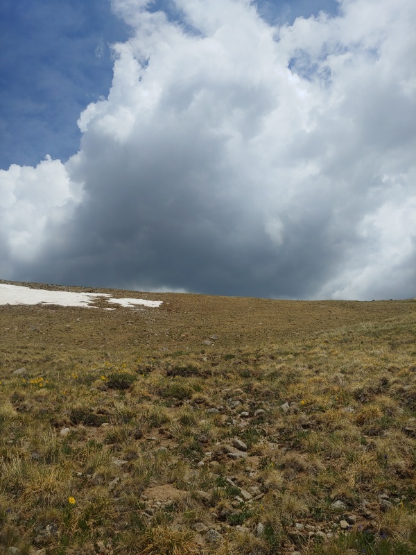
I felt a bit of grapple when I was heading towards the next saddle, but it passed quickly and I even felt a bit of sun. I decided to push and get Unnamed 13020 C as well. On my way I passed a point which was over 13k, but unnamed and unremarked. It felt a bit like Cameron: coming from one side it didn't feel like anything, from the other side I was wondering it didn't rate a mention, especially since it was higher than the unranked 13er behind it. The descent off pt 13180 was the steepest I'd yet done, and my legs were feeling it. Nothing like being sore and tired and knowing you have to regain something, no matter if you give up or push on. I did push on, and right when I hit 13020C the wind picked up as well. I snapped a quick summit pano and trudged back the way I had came, skirting lightly left, north, of the highest point before dropping to the CDT. I made it back to camp just before 1500, not a bad days work: 3 ranked and 2 unranked 13ers. I sacked out for a while before making dinner, and enjoyed another evening of porcupine viewing. 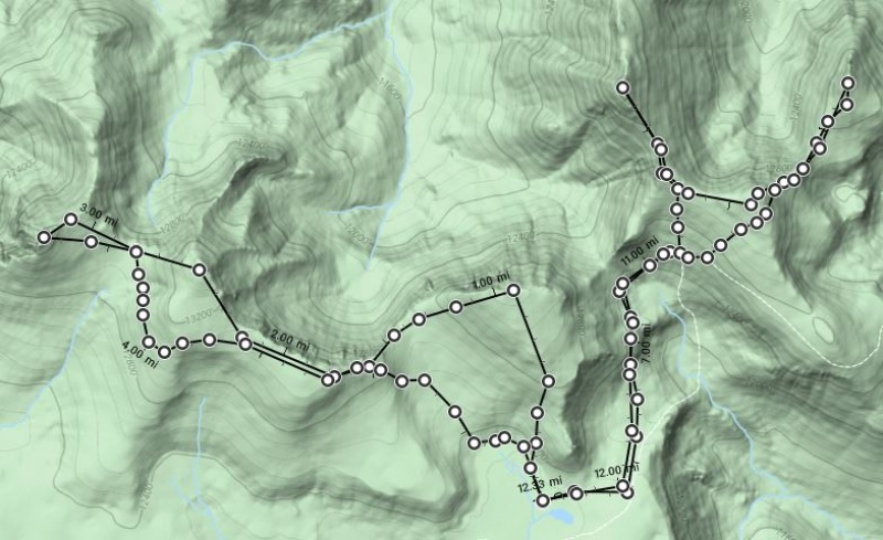
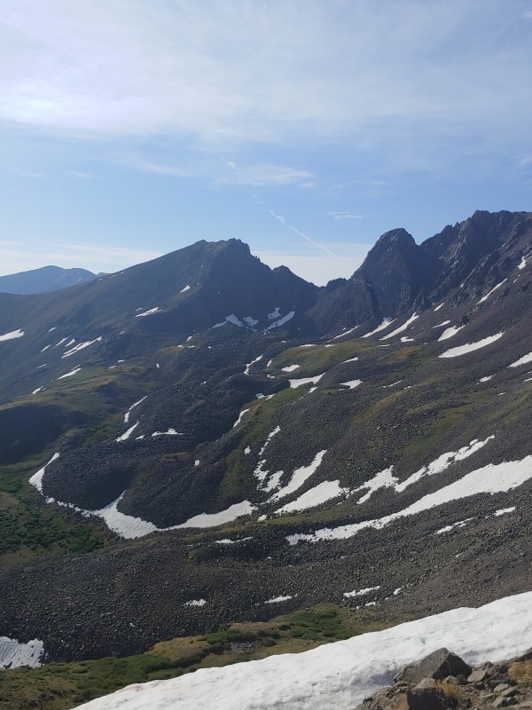
The next morning I packed up my camp and headed off along the same portion of the CDT I hiked the day before. Gaining the high crest of 12.8 I was treated to some gorgeous views of snow mesa, from the other side, and Rio Grande Pyramid in the distance, and of Uncompaghre's distinctive summit. Looking at RGP made me resolve to climb it this summer too, but 1st things 1st... I now had more flexibility with my schedule after compressing 2 days into one. I no longer had to bushwhack off the trail and camp south of the CDT. Instead, I dropped my pack, and skirted around a high 12er and off to the easy side of 13034. 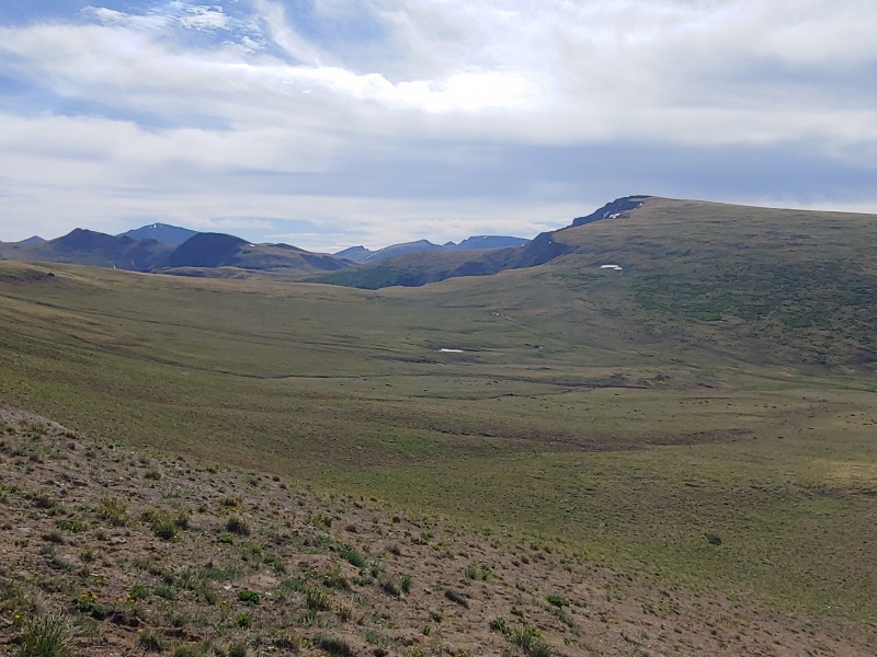
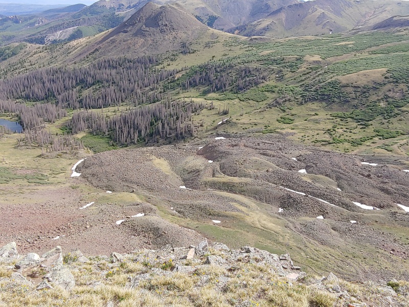
Looking at the impressive north face of this lowly 13er I was glad I came this way, I enjoyed another day of solitude in the alpine, strolling through grasses and flowers, with only random marmots and pikas for company. I returned the way I came and picked up my posessions just off the CDT. I started a gradual descent along the trail's up and down and for the 1st time in 48 hours was under 12k. Threatening skies caused me to take a couple of unplanned break but by evening I had made it to a great campsite at treeline. There was a more significant creek up ahead but the camping was too good to pass up near an old fire ring and some deadfall. Someone had stuck a PVC pipe into a small spring which emerged from the talus of a glacial moraine just off the trail. water fell from it a foot and half to rejoin the rest of the water, and made filling up my filter quite easy. I was tired from all the up and down, and hadn't seen anyone for the past 2 days. 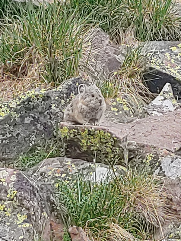
The next morning I woke up just after 5am. I threw my boots on without socks or lacing them, and groggily started over to the creek in the predawn light. As I was about to fill my pot and filter I heard a sound. I looked to my right, and not 10 meters away from me a cow moose was standing up from what had been her bed in the willows. I was a bit startled, but enjoying being so close to such a large creature, sure it would leave without incident. Then I saw a calf stand up next to her and my anxiety ticked up a few notches. My boots weren't tied, and I had a talus field at my back. Thankfully they both wandered into the forest and I continued my morning routine of macaroni and cheese and packing up. I took a while to get to the saddle between 13,111 and Baldy Lejos. Constant days and pack weight were starting to wear on me! I did have a great view of the reason I took the long way around to get 13,034! 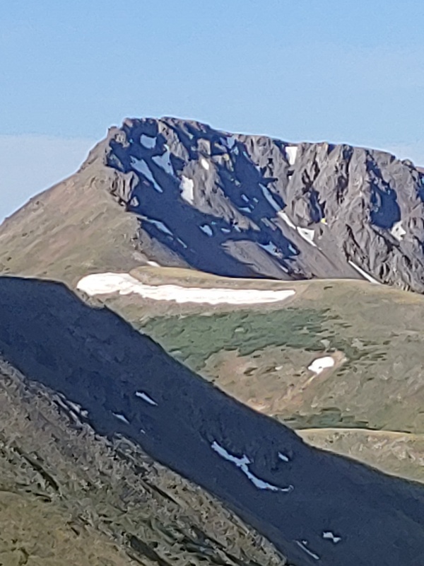
I did something I almost never do at the saddle. I dropped everything and had 15 lightweight minutes of hiking up to 13,111! It felt good but I always worry about leaving my food and emergency gear behind. Back at my stuff I repeated the process of separating the heavy camp gear from the day pack material and I set off for Baldy Lejos. The pattern of no trail until there was a hard section / choke point repeated itself. I was able to keep it at or below class 2. 
While I was returning over the unranked 13er I saw a person, for the 1st time in 3 days! He was traveling very light. We waved and exchanged pleasantries. He caught up to me on the CDT as he was descending back to the west willow creek. I doubt he had more than 4 lbs of gear on him. Gramm, which he said was his name, was on a day jog of about 16 miles and doing a loop up there. I was glad to see and engage with another person. He went back to his jog after we chatted for a10-15 minutes while hiking. I could have headed down to willow creek as well, I had enough service to ask my folks for an early pick up. But I thought I could push it and get 13300A as well, before returning to the TH. That would give me all of Sunday off. I took the CDT around just at the point where the San Luis spur joined the CDT I again looked at the skies and decided it wasn't in the cards. I'm glad I did because I had rain, grapple, hail, and thunder while I was trudging down the road to the equity mine. My luck seemed to bail on my that day: I couldn't reach a cell signal before I dropped to the TH, and all the jeeps were going up hill, or would turn around or leave while I was still a few hundred yards away from them. I was well past the equity mine by the time a very nice, retired teacher in a 4x4 gave me a ride into Creede. My folks were surprised by my location but as it turned out it was lucky I couldn't contact them. Somehow they had conflated FS 502 and phoenix park TH (a VERY rough 4x road) for the west willow creek road. Had I been able to text them we would have been 6 miles away from each other, with neither party having cell service.A small family reunion followed a shower and I again gorged myself on non-noodle food! Sunday I returned to tag 13300A. I convinced my mom to give me a ride. She was fine with that until the 4x4 portion above the equity mine. There were some very deep ruts which I had to guide her over. She flat out said she would meet me at the equity mine. What's a 2 week period of off trail peak bagging without some improvisation? 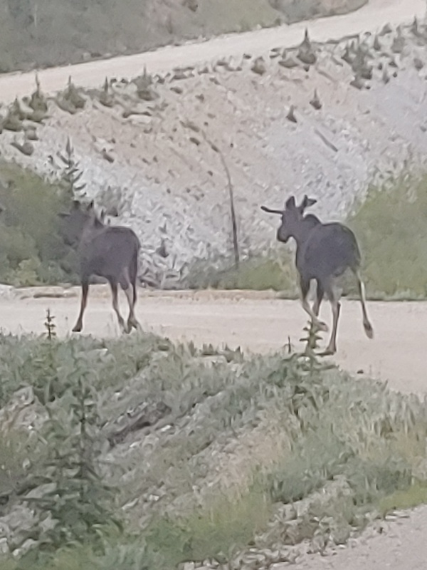
The route up 13300 was pretty straightforward, though I was impressed by the sheer face on the northern side. Further, the western slopes seemed to have dozens of trails. I didn't think it was all human social trails, my only thought was the goats loved the area over the mine. The summit plateau of 13300A was quite large. I was surprised by the strength of my cell signal until I realized I could see Creede from the summit Cairn. I looked over at the traverse to the unranked 13er, confirming what I had read and that I wasn't about to do that alone. 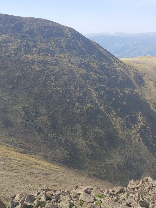
I had no beta on the southern slopes but I did have several screen shots of the slope angle, in addition to my map. I decided I would descend a gully and regain the 4x4 road just above the equity mine, when the road was on the same side of the creek as I was. 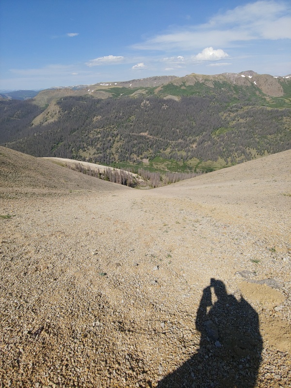
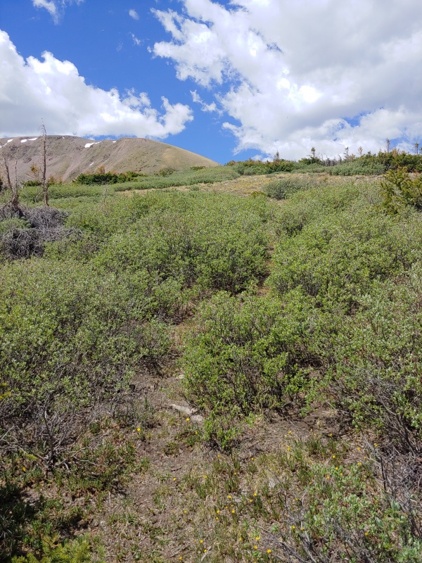
The next morning 4 sleepy people and 2 confused dogs set out for west willow creek trailhead in a rented Ford Expedition. My dad dropped us off after my brother in law decided to flip a U-turn over the previous day's ruts. I was able to see this whole action from outside the vehicle, and after I was far enough away to make sure I was out of the way of any potential roll damage I got a kick out of Steve dropping the back end of the SUV on a rut deep enough to pop off some of the plastic from the rear bumper! On the trail I wondered why my pack felt so much heavier, then I recalled I had just resupplied food and fuel. The California contingent was definitely dragging thanks to the elevation, despite 3 days in Creede prior to our departure. They also brought way too much water with them, which I think is due to being used to the heat and aridity of California. I had to tell them sveral times we'd pass creeks at least once a mile before they dropped 7 lbs of water weight. I loaned my ice axe to my sister a couple of times when we would pass over some consolidated snow fields. Thankfully after gaining the CDT from the San Luis spur the slop eased up. The weather was odd for late June: windy, cloudy in the am, and rather chilly. I remarked it felt more like hiking in Oct than early summer. 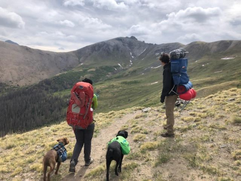
At the point in the above photo I departed right, dropped my heavy gear and went up the unranked 13180C, again glad it was just a class 2+ at the very end. A quick return to the CDT and I made the split with San Luis' southern ridge. I went right again, again without anything, and started up 13155. I had already noticed the easy tundra appeared to give way to an El Diente esque formation at the summit. I hoped a closer inspection would reveal an easy path. It didn't. Thankfully the section was very short, ~15 vertical feet. It was either class 3 or 4. I down climbed facing in, for what that's worth. 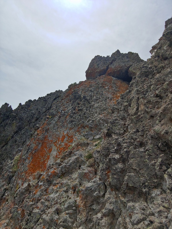
I trudged back down and started down the CDT (which is a recurring phrase in this report) and found the campsite at about 12.1k. 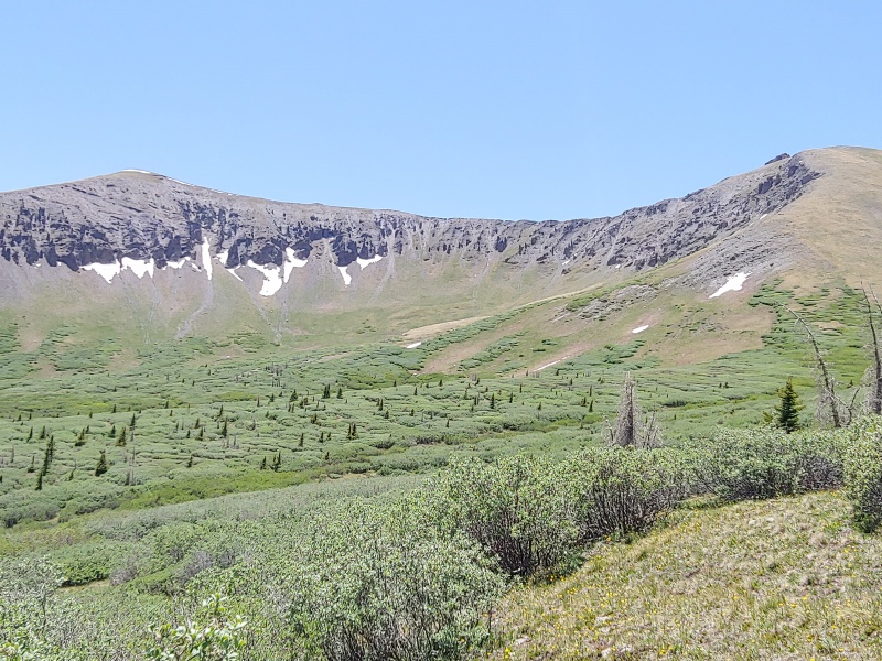
The next morning we started up in the cold and windy weather. I had asked my sister and her husband to start earlier than they needed to because I was worried about weather on Baldy Alto, or rather, on the way back from that furthest peak. The smaller of their dogs was 6 months old with a thin coat and we noticed him shivering. A green vest was promptly applied and both of them continued their side by side amble next to my family members as they proceeded up the thinning, very blustery, air along the ridge. We reached the summit about 0830. It was my sister's 1st, and my brother in law's 3rd 14er. San Luis had been my finisher the previous October. When I climbed it then I couldn't see more than 20 meters thanks to clouds and blowing snow. I was so grateful to have family with me and to enjoy the vistas in the clear sky. We could see the Crestones in the distance, Mt Ouray, the western peaks of the San Juans, even the elks. I love the views from up here! Another couple showed up after we had been on the summit for a few and took a photo for us. 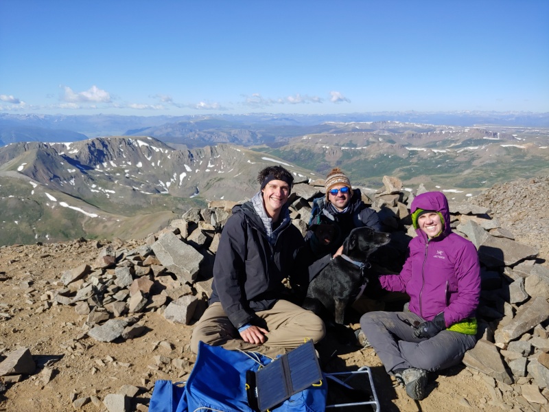
The rest of the party was cold, so they departed while I pushed off down the standard route of San Luis before ducking over the ridgeline and on the other side was on a game / use trail. There was some small up and down before I got to the base of Baldy Alto. The ridge was loose and I tried to be careful but still slipped and skinned my leg a bit. C'est la vie. On the return I elected not to regain San Luis and instead dropped off one of the drainages into the cochetopa creek basin. It was just south of the cairn which marks the saddle between Organ and San Luis. The descent was uneventful, I contoured around a rock glacier and after minimal willow bashing I was greeted by barking dogs and sleepy family members. 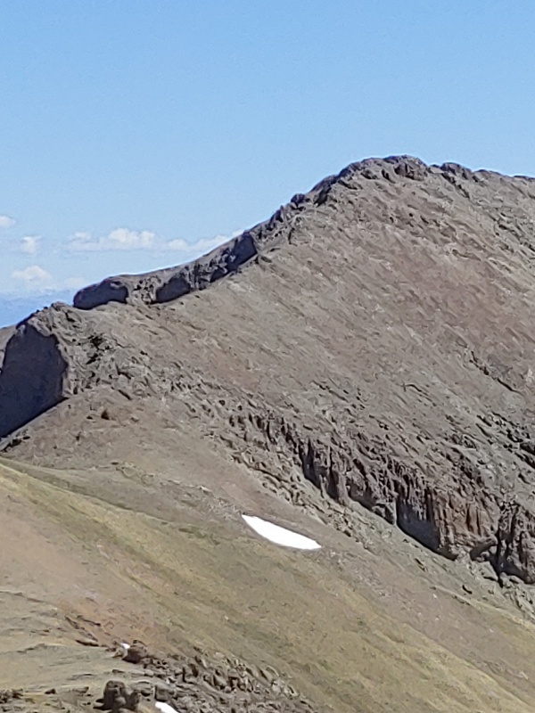
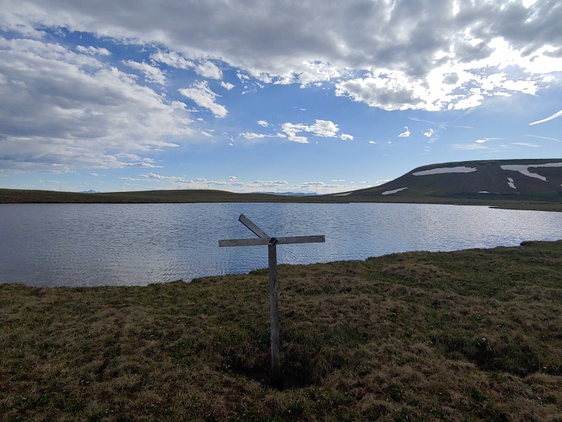
I passed by the most confusing sign of the whole trip the next day. It's south of Organ mountain, and south of Stewart Creek, but there is no trail north of this sign and you would hit the Organ pipes if you hiked it directly. No use trail, no FS map trail, no alltrails. A few other places there were trail markers where I didn't see any signs of use, like Machan basin trail for one. That one was on the FS map though. The next day was built as a mostly rest day we slept in, they had a very leisurely breakfast and we departed camp mid morning. We hiked down the CDT, debating politics, talking about social theory, and dog characteristics. We got to a sandy area with a small cairn. We negotiated the creek crossing without much difficulty, and then set off on an adventure of "where the $#^! is the damn trail?" There were use segments below treeline, but no cairns. We reached a lovely meadow in the mid afternoon and decided to camp there, at 11.2k. 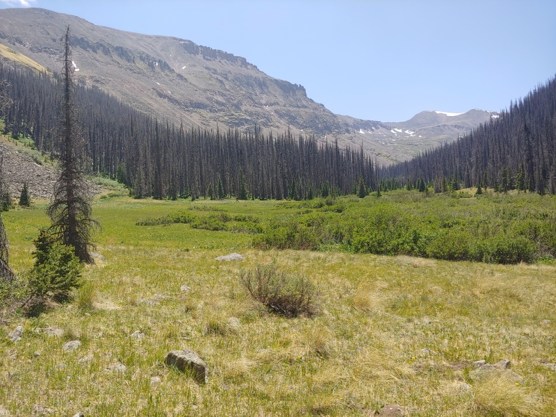
My sister and her husband were going to hike out the next day while I had 2 more days of peakbagging to finish. I hugged them goodby about 0630 and set off up a drainage with not much trail, no cairns, and the most snow of the whole route. Going up the slope soon turned into talus hopping up an old moraine. I followed SnowAlien's trip report and in retrospect I wish I had gone more right up a sub peak NNW of 13,600. It would add maybe thirty feet of gain and .15 miles but it was grass and much less steep. 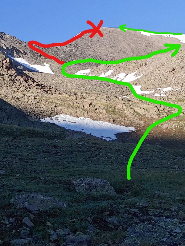
In any event, I made the sub summit and it was windy, some talus hopping later lead me to Phoneix's true summit and a cairn large enough to be on Culebra! I had a long ridge run ahead of me to get to La Garita Peak. At a few points on the hike I wondered why I was doing this much for an unranked sub peak, but I was determined not to leave any orphans in the range! 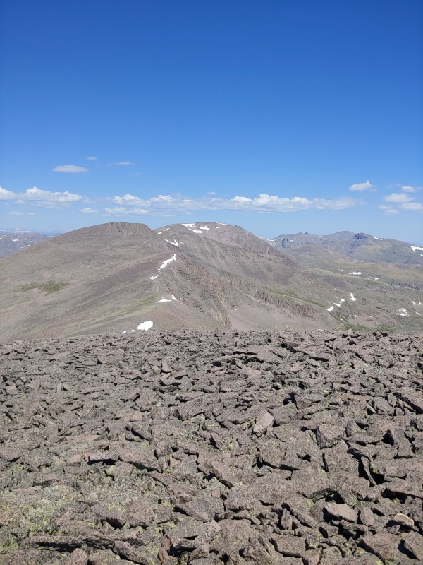
On the way down Phoenix I was surprised to encounter two hardy souls ascending from Diablo Canyon. They mentioned they had seen my sibling and also conveyed their shock at seeing tents up the Diablo canyon drainage. I saw them after I was back at camp so they made it down okay. Speaking of making it down, I hiked/slid down the saddle between Phoenix and pt 13,600 to a small tarn. For some reason I had it in my head the tarn was at 12.4k and I needed to regain a thousand feet. You can imagine my relief when both my altimeter and physical map said I was at 12.9k! I was still tired as I finally cleared the crest of 13402. I was done with all but one more peak and the hike out, I thought to myself. I later realized I was counting chickens which hadn't hatched as I still needed to descend a steep slope with a fair bit of deadfall to get back to camp. I was lonely that night. I thought about the hiking I'd done, how tired I was, and how part of me was ready to say "F it, I'm done." I resolved I wouldn't give up, got a bath in the creek, made my last freeze dried meal, and read a bit of 'Sapiens' while listening to Bach. The next morning I stripped down to the bare minimum and thought about what lay ahead. I only had 1800 feet of gain, but had to do it in about a mile. It was going to be steep going. I went up an avalanche path and was moving very slowly, each time I checked my distance it seemed I hadn't done nearly as much as my legs and heart were telling me I must have. 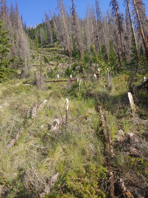
Near 12k the slope eased up a bit and I was again on tundra. I made the summit and looked out over the peaks I could see: everything from yesterday, San Luis, Organ, etc. I reflected on how grateful I was to have made it up all of them, and down all but one (so far) without getting hurt. I got to spend time with family, see animals in their own setting, and feel like I was doing something worth doing. I didn't have cell service, and the summit register was torn to shreds, but I was still thankful for the time in the mountains and let that be a mental register. The trip down was more like a controlled fall. Thankfully all the trees were pointing the same way. I was so grateful to be back on an actual trail 
The walk back to the Eddiesville trailhead was comparatively easy: my pack was lighter and it was mostly downhill on a good trail. I average 3.3 miles per hour once I rejoined the CDT. I ended my journey in the La Garita range at the same spot I had camped my 2nd night. Ramen and 2 hours of waiting for my ride passed quickly. I spent much of it thinking about the food I wanted to eat, how little Ramen and Mac and cheese would appeal to me for the foreseeable future, and where I wanted to hike next.
Total distances: 105 miles and ~29,000 feet of gain. Thumbnails for uploaded photos (click to open slideshow): ")
")
")
")
")
")
")
")
")
")
")
")
")
")
")
")
")
")
")
")
")
")
")
")
")
")
")
")
")
")
")
")
")
")
")
")
")
")
")
")
")
")
")
")
")
")
")
|
| Comments or Questions | ||||||||||||||||||
|---|---|---|---|---|---|---|---|---|---|---|---|---|---|---|---|---|---|---|
|
Caution: The information contained in this report may not be accurate and should not be the only resource used in preparation for your climb. Failure to have the necessary experience, physical conditioning, supplies or equipment can result in injury or death. 14ers.com and the author(s) of this report provide no warranties, either express or implied, that the information provided is accurate or reliable. By using the information provided, you agree to indemnify and hold harmless 14ers.com and the report author(s) with respect to any claims and demands against them, including any attorney fees and expenses. Please read the 14ers.com Safety and Disclaimer pages for more information.
Please respect private property: 14ers.com supports the rights of private landowners to determine how and by whom their land will be used. In Colorado, it is your responsibility to determine if land is private and to obtain the appropriate permission before entering the property.