|
Isolation Peak (13,118')
7/5/2020
TH: Wild Basin (8,520')
Partner: rebeccasimeone
Stats: 16.35 miles, 4,900' roundtrip, 9 hours 39 minutes
If this mountain stood 882 feet higher, it might be busier than Longs. If this peak stood 687 feet higher, it would at least have a respectable trail with cairns all the way to the summit from Bluebird Lake. Thank the great glaciers of Rocky Mountain National Park for grinding this summit down to the 501st highest ranked thirteener in Colorado!
As every other piece of documentation on this mountain clearly states, Isolation is appropriately named. You can't even see the peak on your approach until over 7 miles from the trailhead. Sure, we passed plenty of hikers between the trailhead and Bluebird Lake. But once you leave the shores of Bluebird, Isolation is the name of the game until returning to Bluebird. We did see one other guy from a distance while traversing above Lark Pond, but otherwise enjoyed complete solitude. Yesterday Becca sent me Alex Honnold's latest Insta post saying he was in the Park the same day. So I'm going to convince myself it was Honnold down there scoping out boulders after doing something silly like soloing the Diamond and traversing to Pagoda, Chiefs Head, Alice, and the North Ridge of Isolation ;)
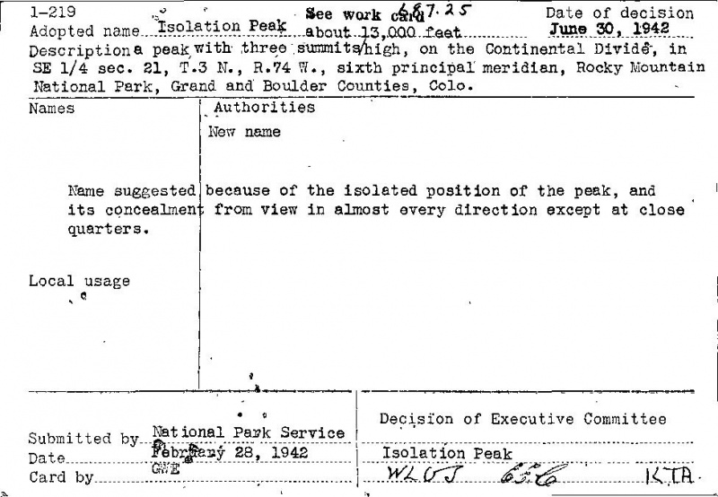
Feds have always been known for their creativity
While not technically difficult at only Class 2 (maybe "+"), the hike demands fit hikers to complete in a day. The Upper Ouzel backcountry camp site, located at 10,600', would serve as an excellent base camp and shave 5.6 miles off your summit day - if you're lucky enough to snag a permit. After passing it and seeing what a killer camp site lies there, I may consider this option before attempting Ogalalla Peak - an even bigger day than Isolation.
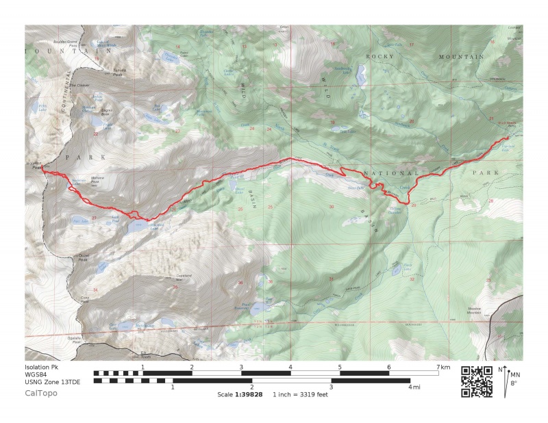
Leaving the main Wild Basin trailhead at 6:11, we made quick work up the great trail system, following much of the approach I used to climb Copeland last Fall. However, instead of turning left at the junction to Ouzel Lake, we continued right up the Bluebird Lake Trail to its terminus at Bluebird Lake.
Mt. Alice
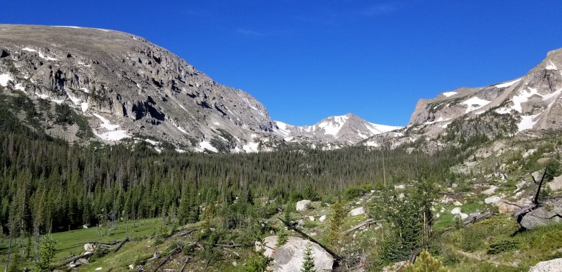
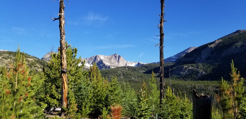
On the Bluebird Lake trail heading straight ahead toward Ouzel Peak. Copeland on the left.
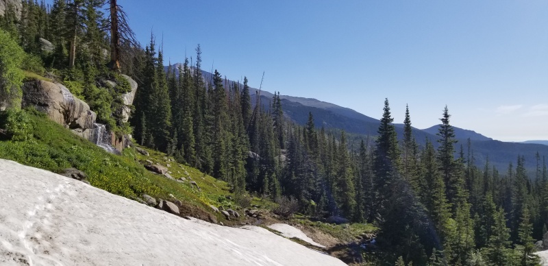
Crossing the first snow of the day between Ouzel Lake and Bluebird Lake
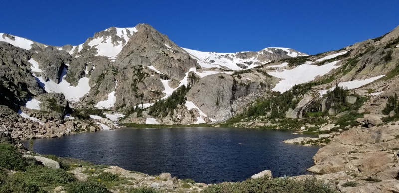
Bluebird Lake. Ouzel Peak left of center. Ascent/descent route climbs high above the lake on the right side of the photo and does an ascending, off-trail traverse to gain the slopes high above Lark Pond and Pipit Lake
The lake is a great place to take in the views of such a special place, but it's also an important spot to study your ascent route. We agreed the section from Bluebird Lake up until the tundra high above Lark Pond felt like the crux of the route. After a quick break to hydrate and take in the views, we searched for a way to cross from the south to north side of the lake's outlet. Just a short way downstream from the outlet, there is a brief class 2 section to get down to the creek and a few large boulders granting access to the other side. The water levels were still quite high, but we managed to stay dry crossing.
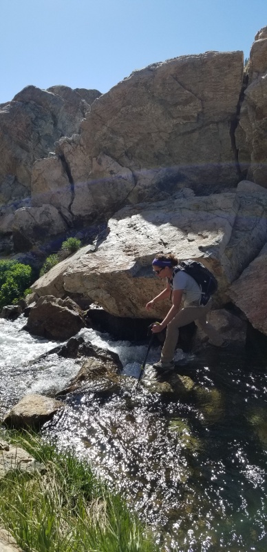
Becca crossing Bluebird Lake's outlet
Immediately after crossing, we walked a few feet back toward the lake before turning hard right up a steep class 2 ramp that re-establishes hikers above the lake, but on its north side. From this point, we undulated up and down while working our way westward above Bluebird Lake, trying to avoid the wet, marshy ground and willows down low. Eventually we fired up about 200-300' vertical through a talus slope and willows to gain a reasonable side-hilling slope allowing easy access to the higher basins.
Once established high above Bluebird Lake, we maintained a WNW course with an gently ascending traverse, only dropping down where it made the going easier. Unfortunately this route limits the views of Lark Pond and Pipit Lake, but the efficiency of the line was an acceptable trade off.
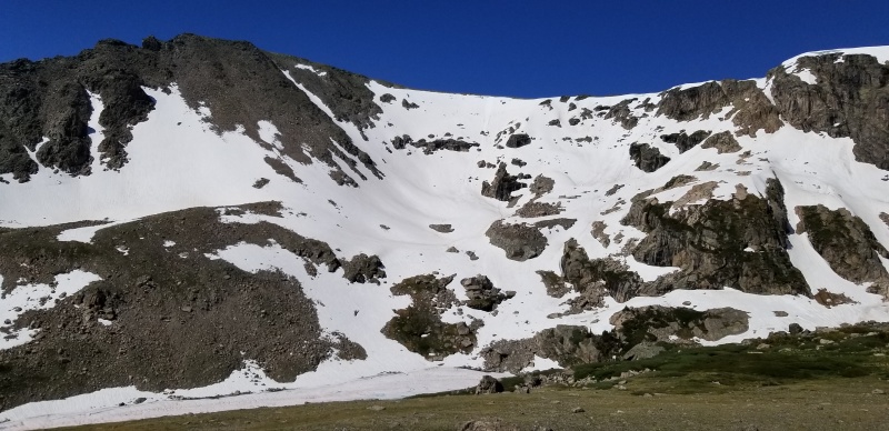
Mostly-frozen Pipit Lake below Ouzel Peak's loaded north and east slopes
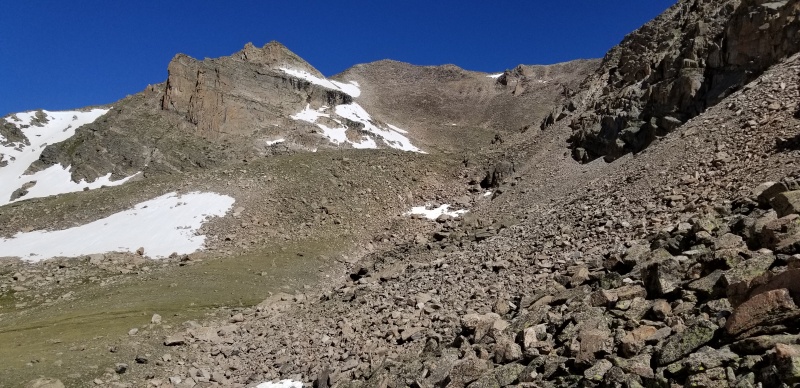
Looking up basin from where I took the previous picture. This is about where hikers will first lay eyes on Isolation - over 7 miles from the trailhead. From this point Becca dropped low to the tundra, I stayed high. She smoked me. This is a general idea of much of the terrain between Bluebird and Isolation Lakes. Isolation Lake is just above the talus slope in the center of the photo.
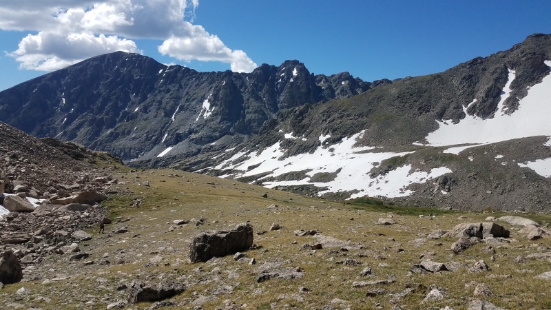
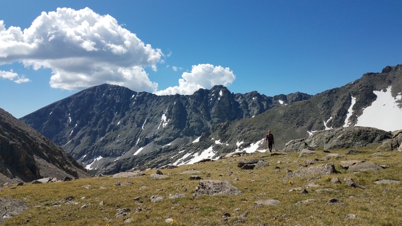
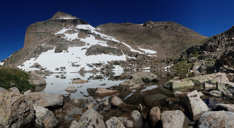
Isolation Lake. Isolation summit is the boring looking hump just left of center.
From Isolation Lake, the route to the summit is obvious. We followed Isolation Lake's east side to its inlet, where we each quickly filtered some water. We wanted to hang out at Isolation Lake longer, but with clouds building we knew we needed to high tail it to the summit and back as quickly as possible.
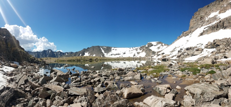
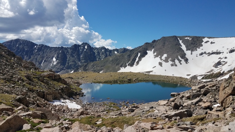
Continuing on a WNW course above the lake, we angled up toward the small south ridge of Isolation, aiming a few hundred vertical below the summit. If you choose your line carefully and stick to the large talus, the going is mostly solid and straightforward.
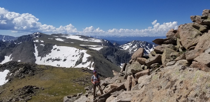
Becca gaining the South Ridge with Ogallala in the background.
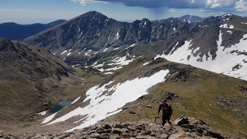
A look at the mostly-solid talus slopes used to access to the South Ridge. Taken just after gaining the ridge crest.
Once at the ridge the views open up in a big way. The ridge featured that perfect Rocky Mountain National Park stone that is large, bomber, varied, and an absolute joy to move across. In my opinion, this is as good as class 2 talus hopping can get- similar to the top sections of Pagoda, Chiefs Head, Meeker, etc.
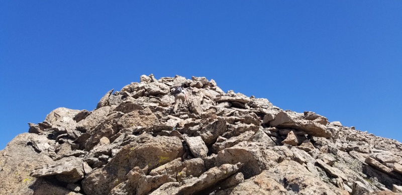
Final push on super solid, fun talus blocks
I tried putting into words a few sentences to express how I felt about the Isolation summit. After reading those words, they felt cliche and lame. So instead, pictures:

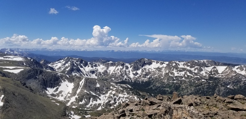
Continental Divide looking South
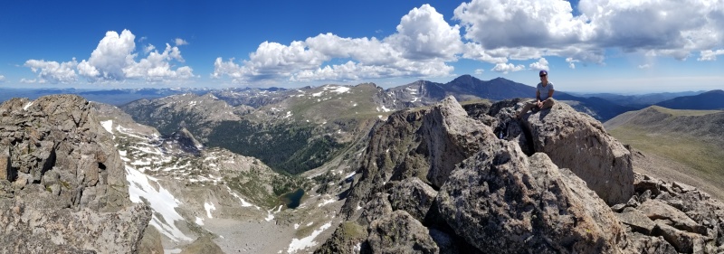
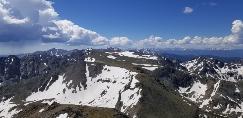
Continental Divide looking North
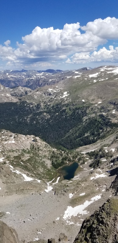
Fifth Lake

"I wanna take ya through a wasteland I like to call my home..."
"...Welcome to Paradise"
But Ogalalla is only 2+ miles away... dumb clouds!
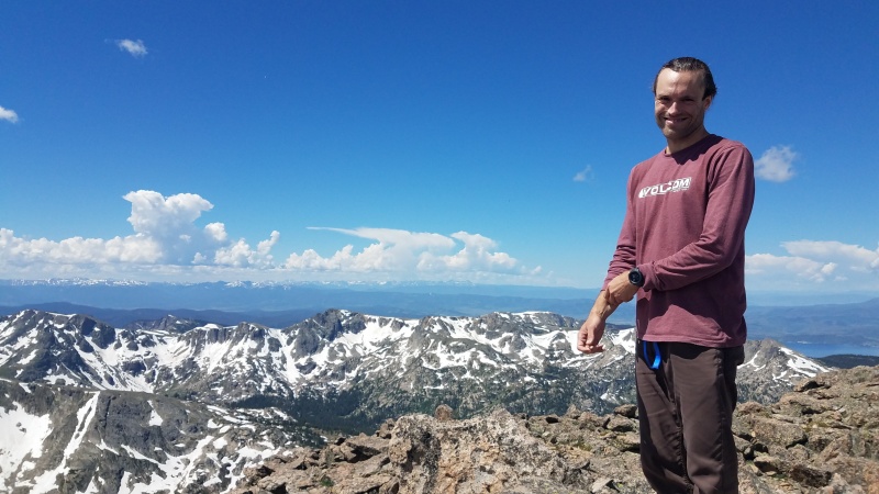
If you decide to climb this peak soon, please consider bringing a new, sustainable summit register with paper and pencil. The usual black and white standard tube was badly cracked with no sign of a register, but still attached by a wire anchored to a summit boulder.
We wanted to pull a SummitLounger and kick it all afternoon, but developing weather demanded otherwise. After only a few minutes on top we reversed the route and made it down to Isolation Lake in under 20 minutes, aided by the wonderfully solid talus. I get way too excited about talus in the Park - do I need help?
Back at Isolation Lake the clouds appeared less threatening, so we filtered a a few liters of water, had a selfie shoot, and decided a quick dip was in order. Becca jumped in completely. I chickened out and only went in to my knees because I'm a wuss. After feeling poorly most of the day, the rinse turned Becca into a new woman with a second wind!
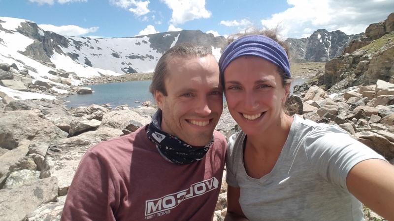
Becca usually has to force/manipulate me into selfies, but Isolation put me in an extra good mood, so I happily obliged.
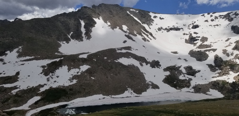
Pipit Lake and Ouzel Peak on the descent
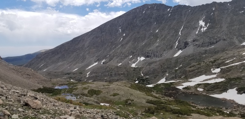
Lark Pond bottom right, Copeland rising above. Ascent route more on the talus on the left, while our descent went down to the grassy shoulder just left of center.

Short optional slab crossing to avoid a lot of up and down climbing on loose crap.
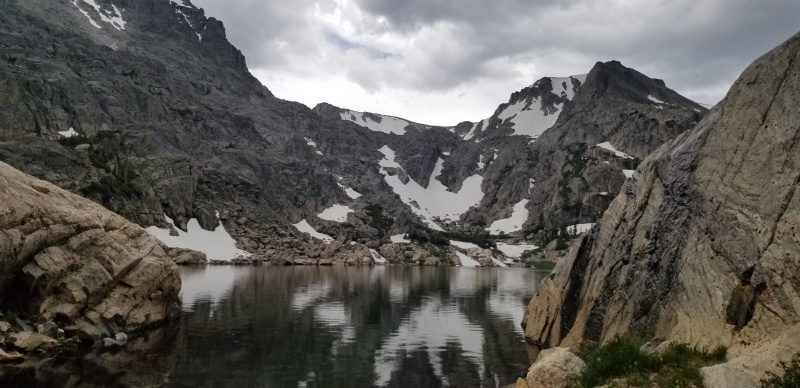
Bluebird Lake from the north shore of its outlet, taken at the crossing.
Crossing back to the south side of the Bluebird Lake outlet, we stopped to finally enjoy our PB&Js and chug water and contemplated future routes up Ouzel and Ogalalla. A few other hikers also spread out on this side of the lake taking in the spectacular setting.

Waterfall on North slopes of Copeland
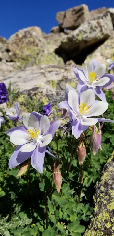
On the hike down, we noticed so many more waterfalls and wildflowers that we'd buzzed by on the ascent. I couldn't stop taking pictures.
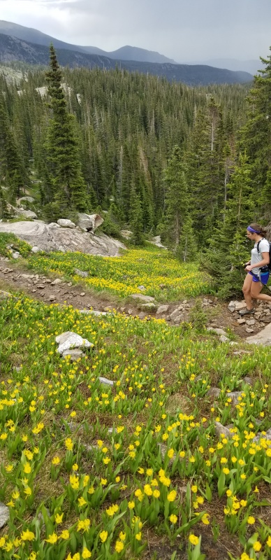
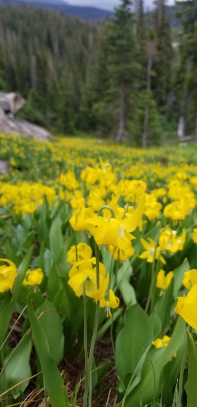
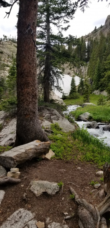
Killer break spot on the ascent. This is across the creek from the Upper Ouzel backcountry camp site. We chatted with another guy (that may have been camping at the site) here in the morning about climbing Isolation, which it sounded like he climbed many years ago.
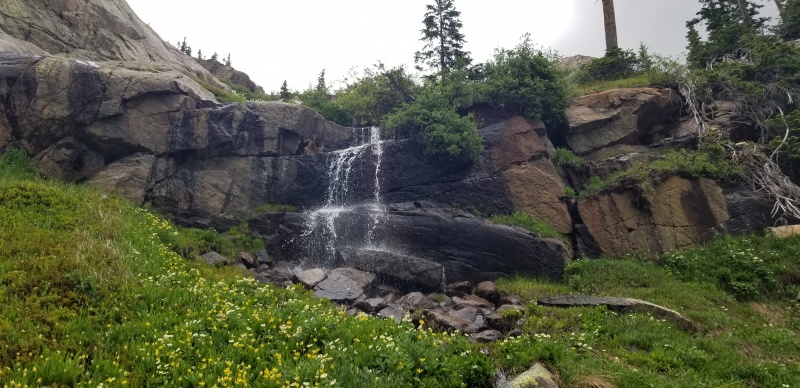
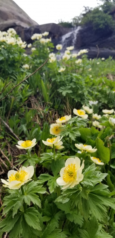
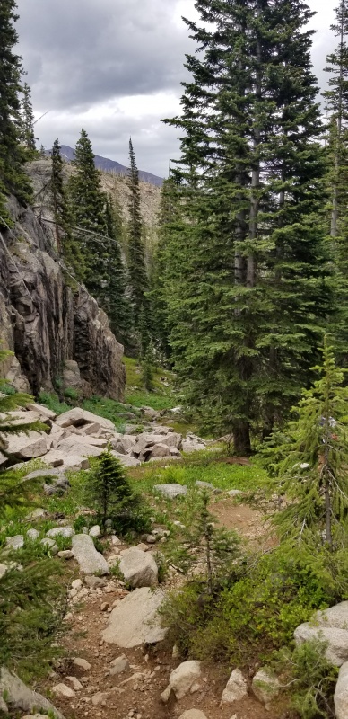
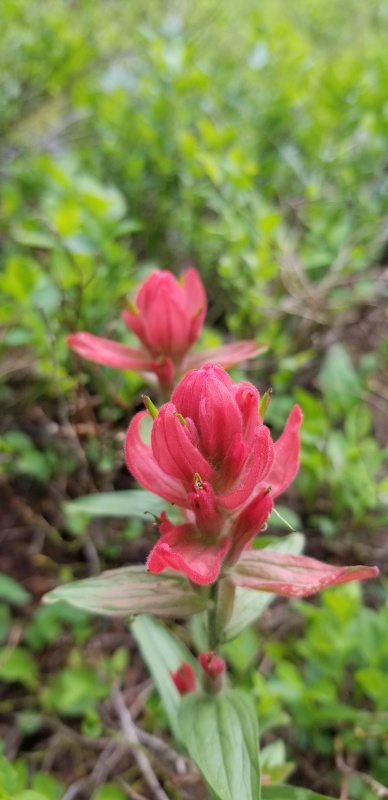

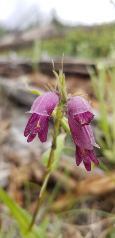
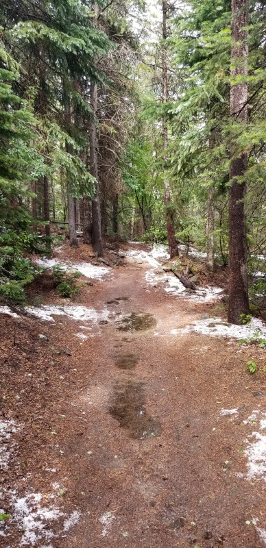
Weather-wise, we lucked out staying dry on the descent. But a little over a mile from the trailhead, the lower elevations had a nice coating of graupel in the shade! It's wild to me that we stayed dry up high but some wintry precipitation fell down between 8,500 and 9,000' - in July! At this point, it was iced the cake of splendid day in the mountains.
In summary, I cannot recommend this peak and route enough! Sometimes you have such a good day in the hills that you feel COMPELLED to write a report about it. That's what happened here. The summit is one of my favorites in the Front Range. The trails are excellent, gorgeous, and way less crowded than the Longs or Glacier Gorge areas of the park. While busy, Wild Basin has yet to feel crowded on any of the four Summer or Fall trips made in the last year, and has never even been close to filling up with parking. And you just can't beat the proximity to the Metro and not having to drive 70 or 285 for once. I cannot wait to try this again via the North Ridge, and perhaps linking other peaks with it. Until then, stay safe and have fun out there!
Thumbnails for uploaded photos (click to open slideshow):


|