| Report Type | Full |
| Peak(s) |
Winfield Peak - 13,085 feet Virginia Peak - 13,094 feet "West Virginia" - 13,152 feet "Sheep Rock Mountain" - 13,261 feet Unnamed 13251 - 13,251 feet Unnamed 13258 - 13,258 feet Granite Mountain, 12,848 (unranked) |
| Date Posted | 07/03/2020 |
| Modified | 07/04/2020 |
| Date Climbed | 06/27/2020 |
| Author | bmcqueen |
| Winfield to Granite Loop |
|---|
|
Winfield to Granite Loop I had originally planned to zip down to Chicago Basin for the weekend to get my last summer grid spot - that pesky North Eolus that I ignored my first time in the basin back in July 2003. I hadn't done those peaks in June, so I would also get new grid spots on the other three for my efforts from Purgatory. When decision time came, the weather for Saturday, which needed to be a big day, just didn't look promising enough to justify the long drive there and back Friday and Sunday. Instead, I opted for the better weather forecast in the Sawatch and decided to get some new 13ers instead. 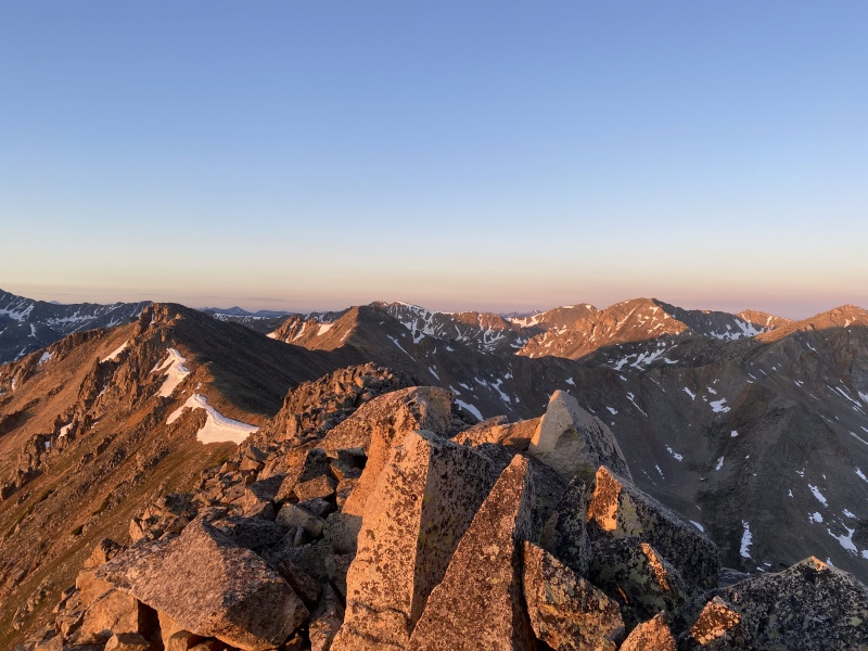
I had read supranihilest's trip report on the Virginia group, which described a less than pleasant early morning creek crossing along with a couple of exposed moves on loose rock at the end of the loop to get back to the Continental Divide Trail at the saddle near Lake Ann. I decided to modify my route slightly for those couple unpleasantries. Saturday June 27, 2020 Stats I decided to camp up the Winfield Road a bit past the cemetery, just before the Continental Divide Trail. Scouting out the map and the bushwhack up to Winfield Peak, I was going to need to cross the creek. I wandered up to the CDT Friday night from camp, thinking there would probably be a bridge. Sure enough, a nice bridge, so I would not start my morning with cold wet feet. 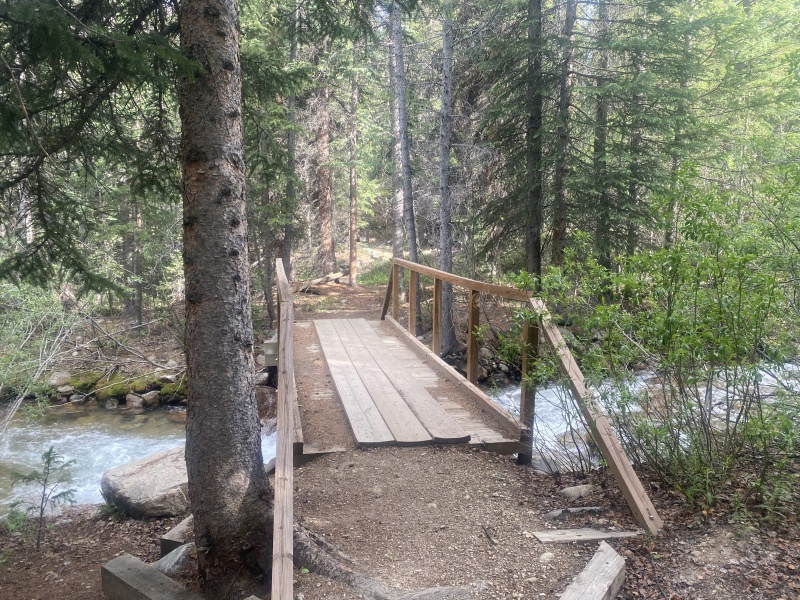
I left camp at 3:34 AM since there was a chance of thunderstorms about 2:00 PM and crossed the bridge in the dark. The early bushwhack wasn't terrible as I aimed for the road. I followed it for a bit, but it clearly didn't get much use and kept vanishing in the growth. I finally just headed uphill again to get out of the trees. 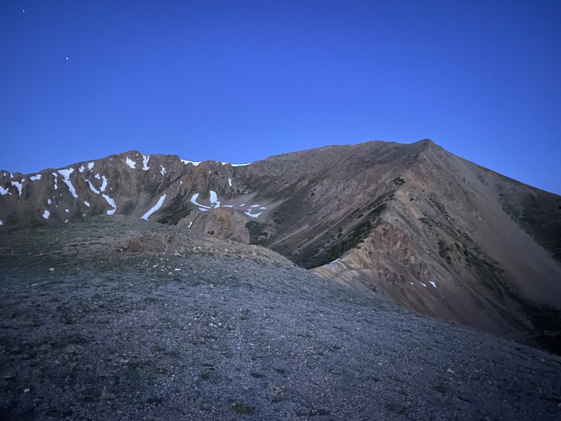
Given that it was a summer Saturday, it was no surprise to see a line of headlights driving up the 390 road towards the Missouri Gulch or Huron THs. 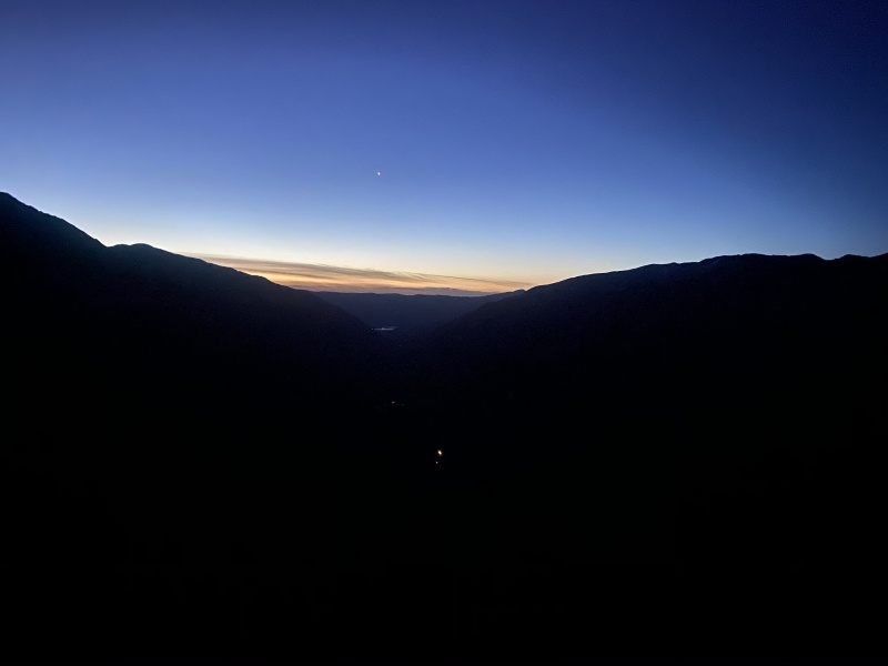
I was on top of Winfield 2:31 after starting, then zipped over to Virginia at the 2:51 mark. Sunrise from Winfield was lovely. 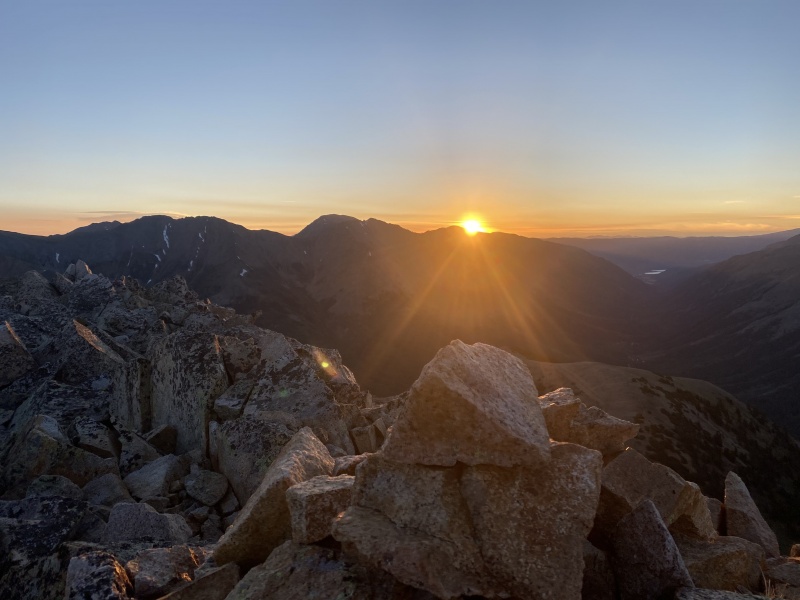
From Virginia, I headed west to none other than "West Virginia" and climbed up to its much smaller summit (3:46 elapsed). Most of the peaks on the loop had old summit registers - always fun to see familiar names. I added mine, then continued moving along. 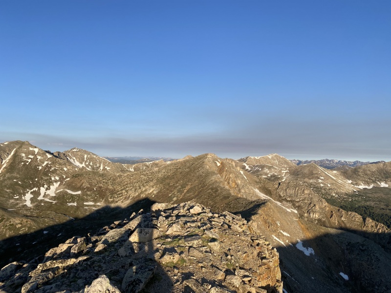
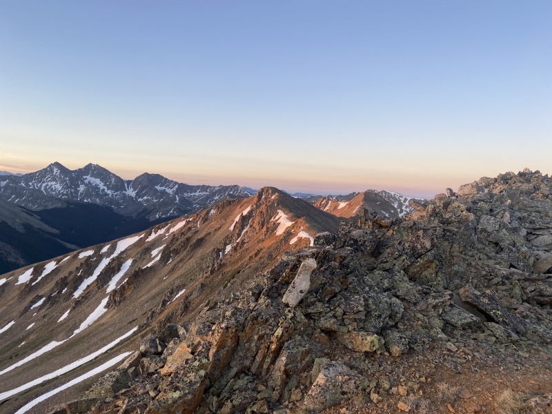
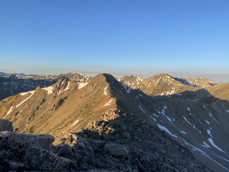
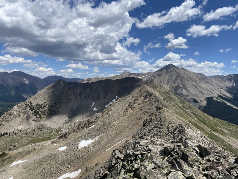
"Sheep Rock" was up next (4:26 elapsed) then the UNs - 13,235, 13,253 and 13,253 (south). The ridges between these peaks are all very straight forward, so forgive me for not offering much in the way of beta. Pretty much - from one summit, descend to the saddle, ascend to the next summit and repeat. 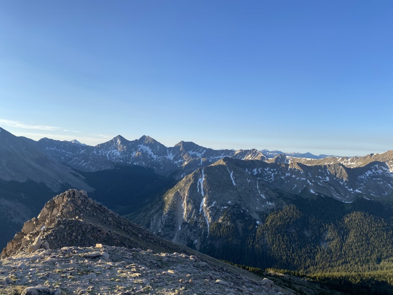
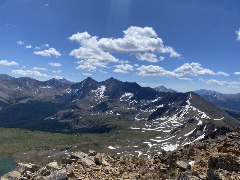
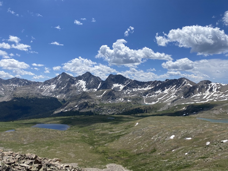
I was 5:23 in at 13,235, 6:57 in at 13,253 and 7:12 in at 13,253 (south). I looked longingly at the Apostles all day, knowing that I would be on West Apostle in the morning (see Joel's report on that). 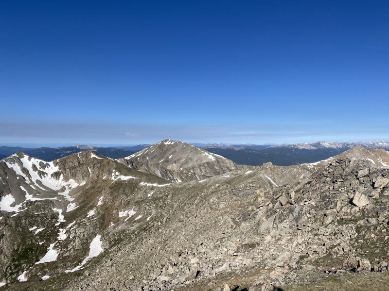

As I headed around the loop, I was thinking about the icky descent down the tail end of the loop and also eyeing a 12er in the center called Granite Mountain. The ridge to Granite goes from 13,253 and looked broken/loose, but doable. I took one more look from 13,253, then went over to 13,253 (south) to finish the 13ers, then returned to 13,253 to descend the ridge towards Granite. 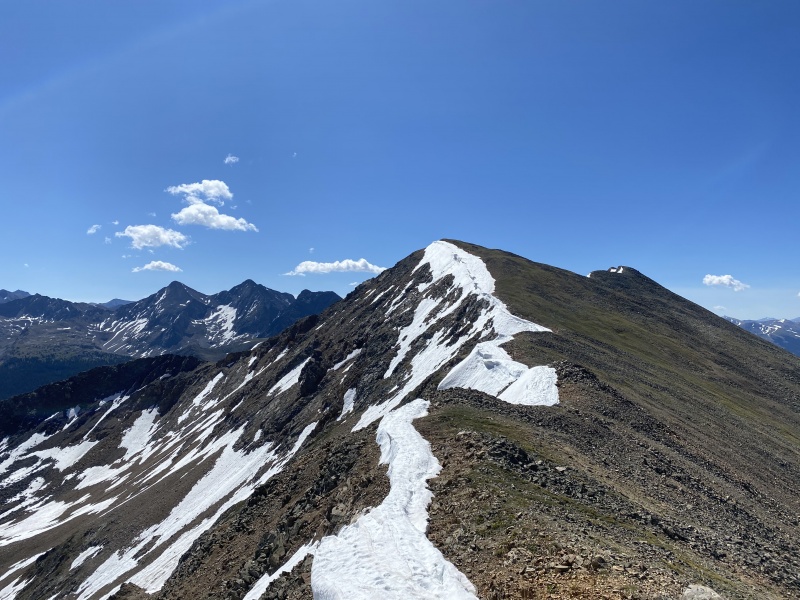
I stayed mostly ridge proper where the rock was more solid. For the most part, I would say Class 2+ with maybe an easy class 3 move here and there. There are a LOT of ups and downs on the ridge to Granite though - a bit annoyingly so. I hoped maybe I was at least getting a ranked 12er (it's not). 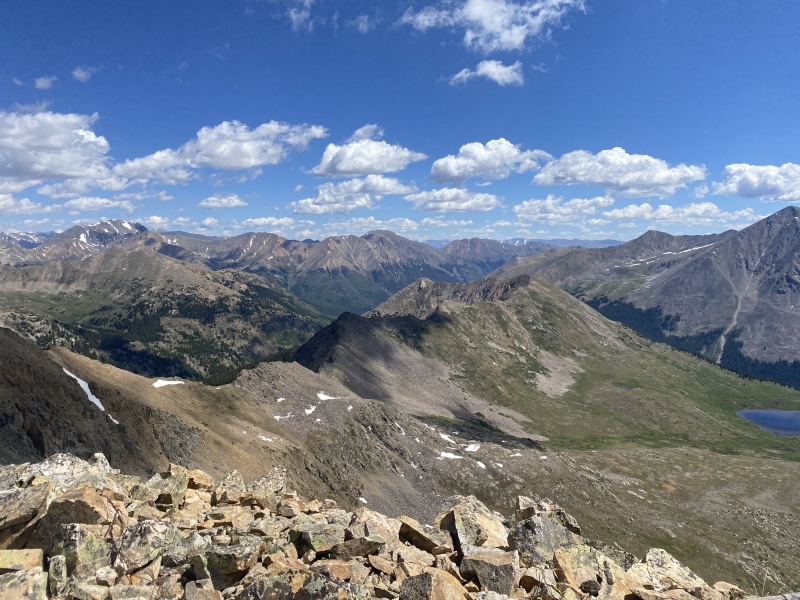
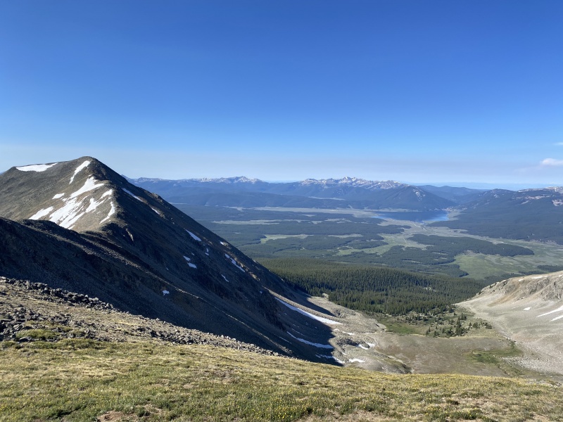
I summited Granite at the 8:57 elapsed time mark, then descended back to the south and east to return to the CDT. Once again - not a terrible bushwhack. A couple with a child carrier seemed a little surprised to look behind them on the trail and find someone there where there hadn't been before. After a quick hello, I continued down the CDT back towards civilization (ok, so the closest thing would be the Huron TH). I actually decided I wasn't ready for that much civilization after not seeing another soul on my loop, so I decided to stay on the CDT as it cut back west just before the Huron TH. I find the "Hope Pass" sign somewhat odd since the sign points west and Hope Pass is north and east, but I knew the trail would take me right back to my campsite. Two more nice bridges, a water refill from the stream and I was cruising on easy, mostly flat terrain the last couple miles back to camp. I was back at camp about 3:00 PM, ready to relax and refuel before doing West Apostle Sunday with Joel and Staci Q. 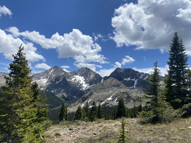
Very mellow loop overall that is certainly doable with a decent forecast. Thanks for reading. Thumbnails for uploaded photos (click to open slideshow): ")
")
")
")
")
")
")
")
")
")
")
")
")
")
")
")
")
")
")
")
")
")
")
")
")
")
")
")
")
")
")
")
")
")
")
")
")
")
")
")
")
|
| Comments or Questions | |||
|---|---|---|---|
|
Caution: The information contained in this report may not be accurate and should not be the only resource used in preparation for your climb. Failure to have the necessary experience, physical conditioning, supplies or equipment can result in injury or death. 14ers.com and the author(s) of this report provide no warranties, either express or implied, that the information provided is accurate or reliable. By using the information provided, you agree to indemnify and hold harmless 14ers.com and the report author(s) with respect to any claims and demands against them, including any attorney fees and expenses. Please read the 14ers.com Safety and Disclaimer pages for more information.
Please respect private property: 14ers.com supports the rights of private landowners to determine how and by whom their land will be used. In Colorado, it is your responsibility to determine if land is private and to obtain the appropriate permission before entering the property.