Download Agreement, Release, and Acknowledgement of Risk:
You (the person requesting this file download) fully understand mountain climbing ("Activity") involves risks and dangers of serious bodily injury, including permanent disability, paralysis, and death ("Risks") and you fully accept and assume all such risks and all responsibility for losses, costs, and damages you incur as a result of your participation in this Activity.
You acknowledge that information in the file you have chosen to download may not be accurate and may contain errors. You agree to assume all risks when using this information and agree to release and discharge 14ers.com, 14ers Inc. and the author(s) of such information (collectively, the "Released Parties").
You hereby discharge the Released Parties from all damages, actions, claims and liabilities of any nature, specifically including, but not limited to, damages, actions, claims and liabilities arising from or related to the negligence of the Released Parties. You further agree to indemnify, hold harmless and defend 14ers.com, 14ers Inc. and each of the other Released Parties from and against any loss, damage, liability and expense, including costs and attorney fees, incurred by 14ers.com, 14ers Inc. or any of the other Released Parties as a result of you using information provided on the 14ers.com or 14ers Inc. websites.
You have read this agreement, fully understand its terms and intend it to be a complete and unconditional release of all liability to the greatest extent allowed by law and agree that if any portion of this agreement is held to be invalid the balance, notwithstanding, shall continue in full force and effect.
By clicking "OK" you agree to these terms. If you DO NOT agree, click "Cancel"...
The West Elk Wilderness is one of the least accessed wilderness areas in the lower 48. With Mill Creek being easily the most used area. With that being said most of the trails in the wilderness area are not well used or maintained so having good navigation skills are pretty essential for effective travel. Living in the Gunnison Valley and looing up at West Elk year round is very intriguing. When the opportunity arose to give a two night backpacking trip a go arose it was easy to jump on. Since all the other TR's on West Elk are from the southern approach from Mill Creek this report should provide good information on the northern approach to West Elk.
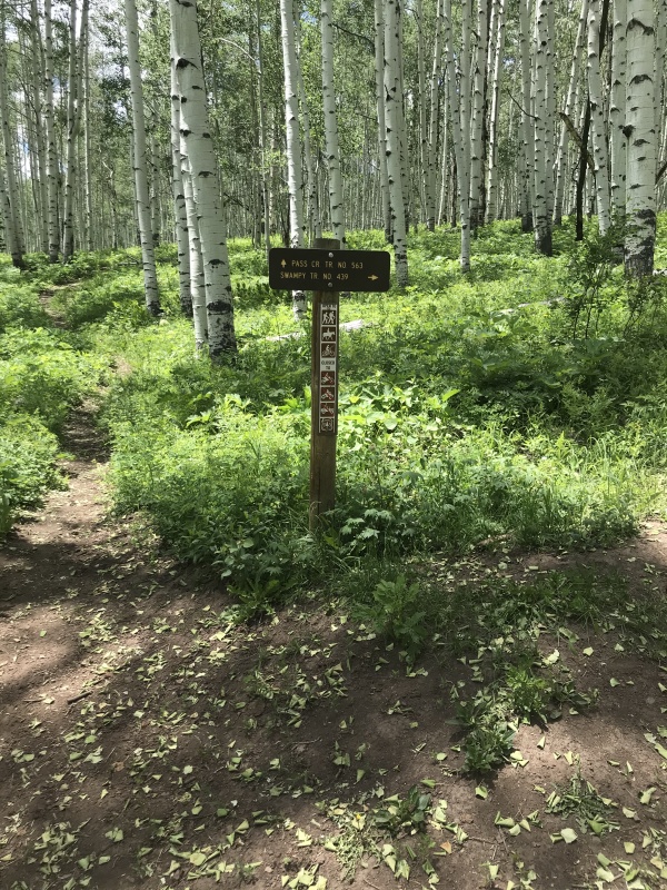
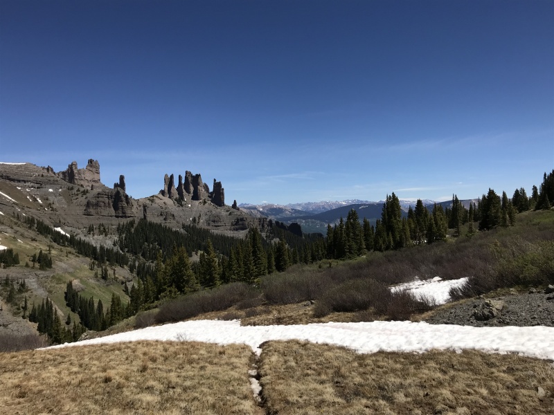
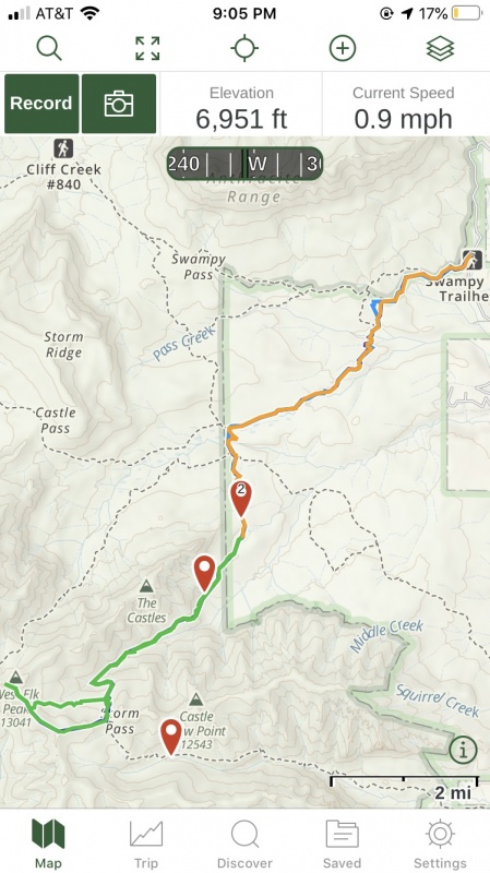
Swampy Pass Trailhead is about 20 minutes farther up Ohio Pass from Mill Creek. The Road is very easy 2wd dirt with the parking area being very large with a pit toilet. The trail starts across the road and climbs quickly to provide a great view for the northern West Elks
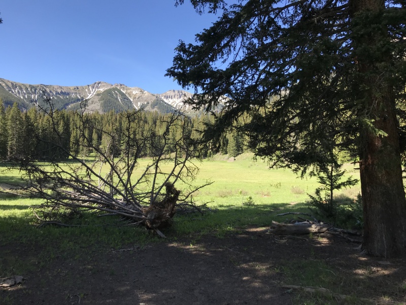
Northern West Elks
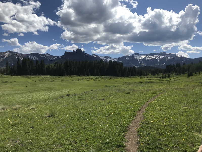
From this point West Elk is directly behind and slightly right of the castles and seems a long way away. The trail meanders through an aspen forest while not really gaining or losing significant elevation for the next 2 miles or so.
Take a left at this junctionEasy ditch trail. Stay right for a few hundred feet then take a left down the hill.
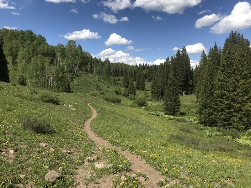
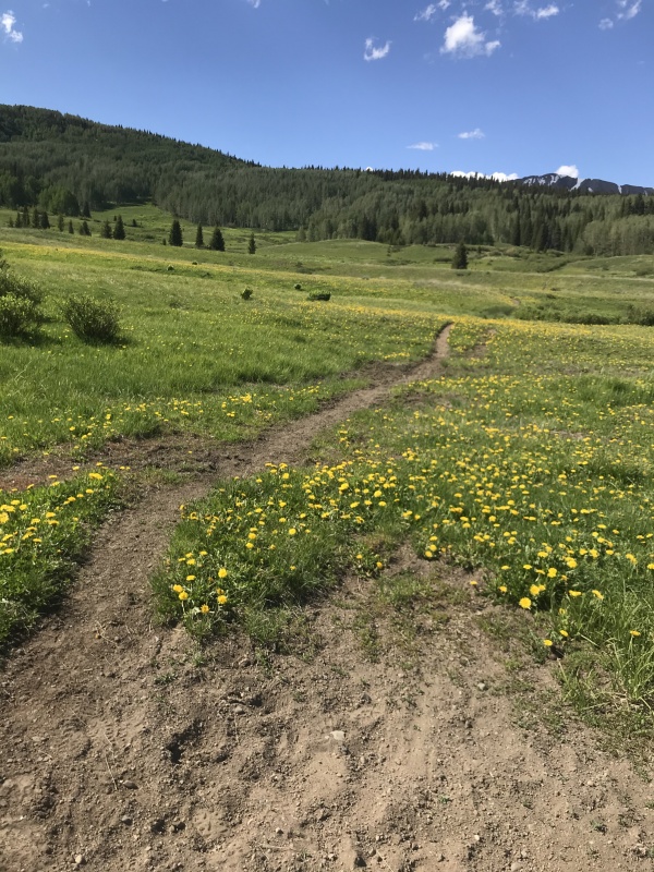
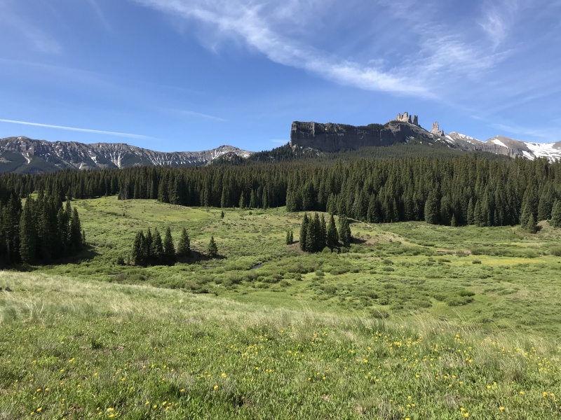
After dropping a few hundred feet into a meadow you will climb the next few hundred feet into a pine forest. The trail then slowly gains some elevation while continuing slowly SW. After 4.5 miles the trail will open into another large meadow with incredible views of the castles and your first good views of the north side of Storm Pass.
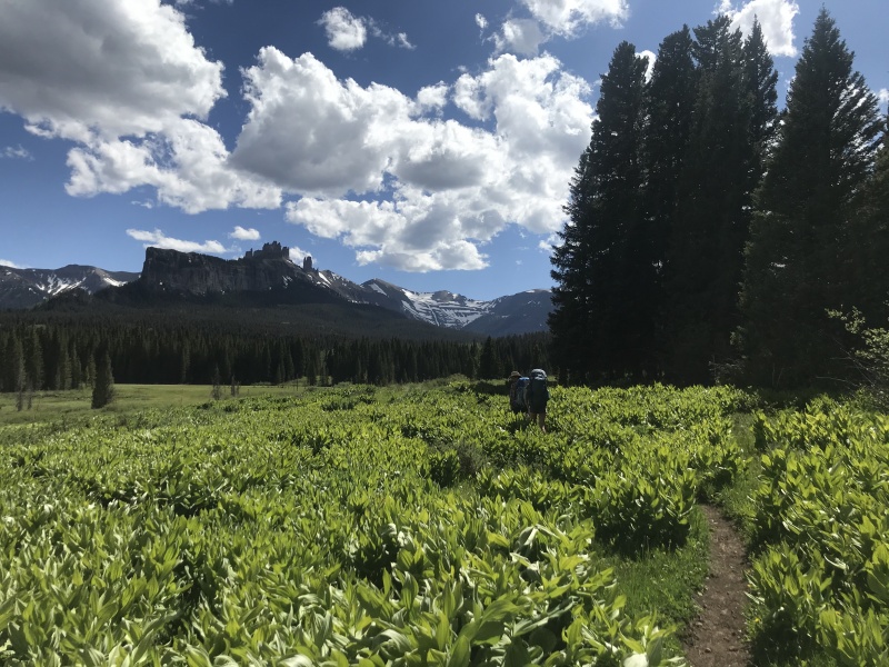
Much closer to the castles.Easy trail through the meadows
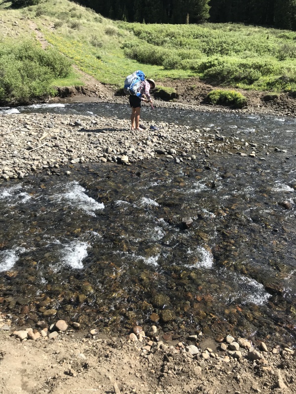
After another mile of walking through the meadows the trail turns south and at the end of the meadow there is a fairly sizable creek crossing. For us it was a get your feet wet crossing but later in the season there may be a dry crossing point.
Cold water 5 miles in.Looking back at the meadow walk.
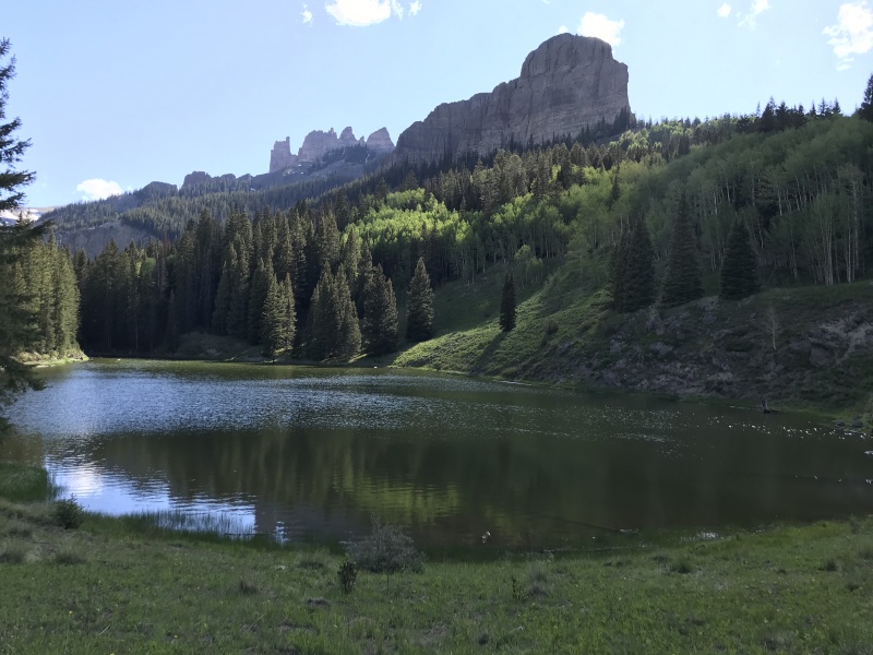
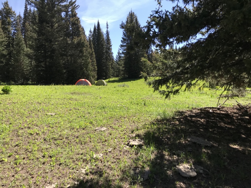
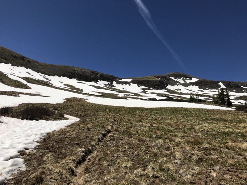
From the creek crossing follow the signs toward storm pass while you gain 300-400 feet of vertical. The ideal camping location for this approach is a lake at around 10,000 ft. This is around 7 miles and 1,500 feet into the trip. Above this spot there are not many flat areas for camping and reliable water becomes fewer.
Lake right beneath the castles.Lots of camping available.Large wetlands area.
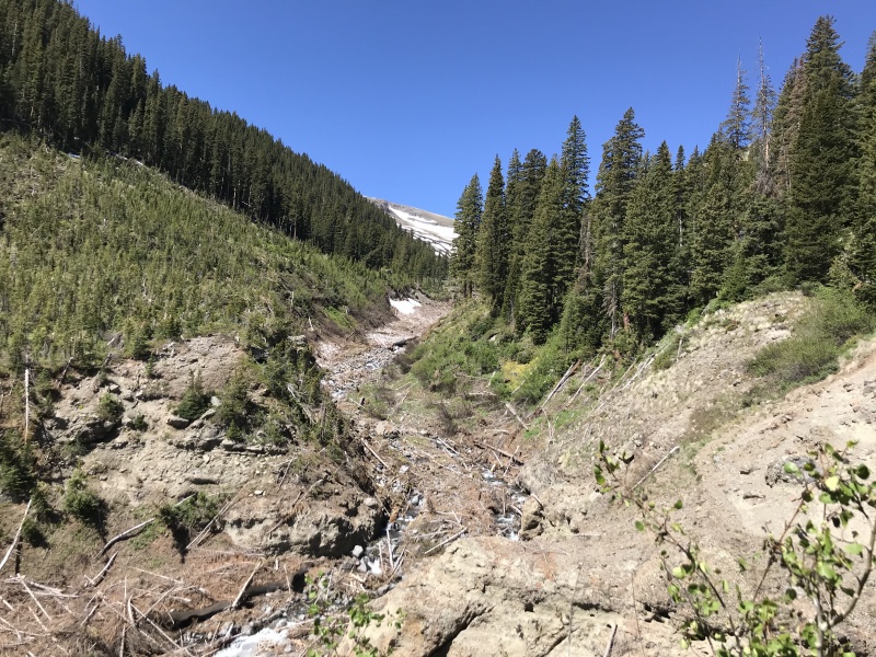
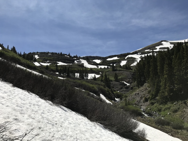
From camp the trail up Storm Pass heads south along the wetland the does an ascending contour beneath the castles. From the Lake onward the trail becomes thin and hard to follow in places.
Avalanche debris along the trail.Looking back down the trail.
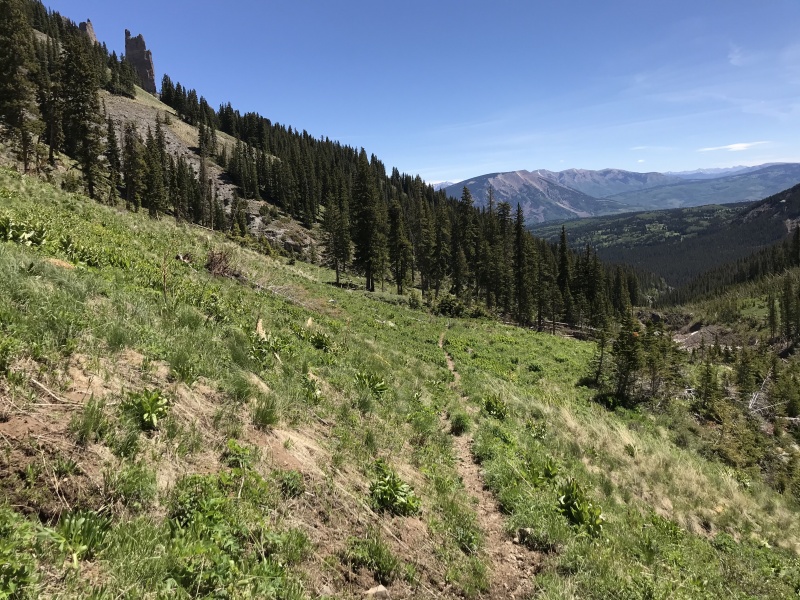
The trail is easy enough as it climbs to ~11,200ft. From this point the trail climbs the north side of storm pass which is much steeper and less used than the south side of storm.
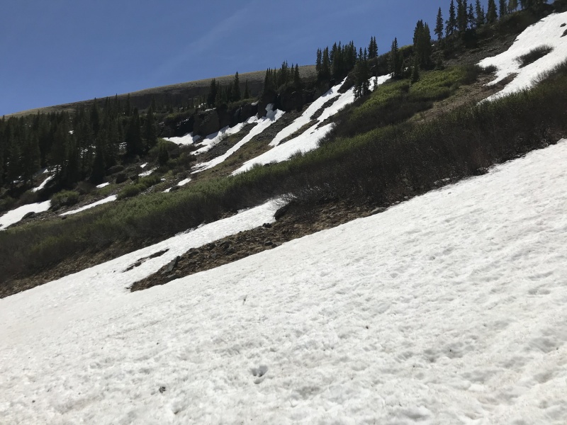
Trail moving between snow fields.Trail just above tree line with the castles and Elks behind.
Looking up at Storm Pass.Upper basin.
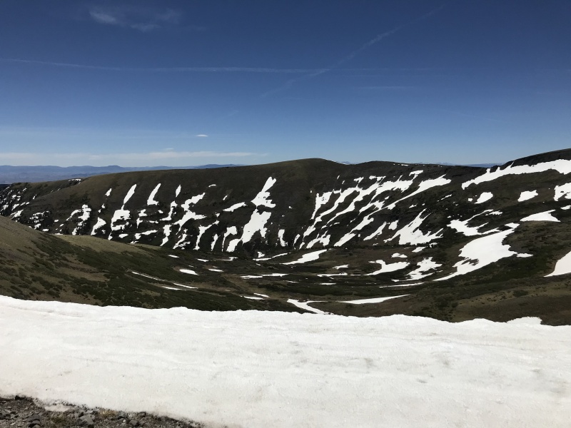
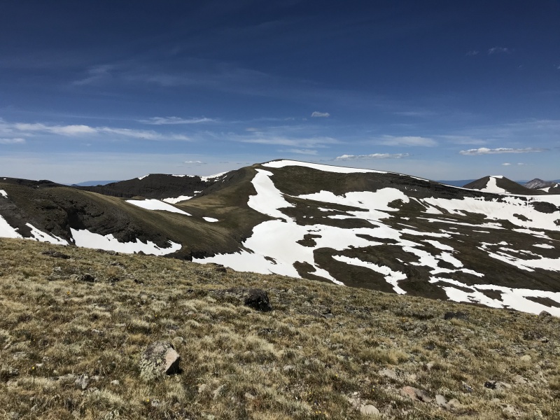
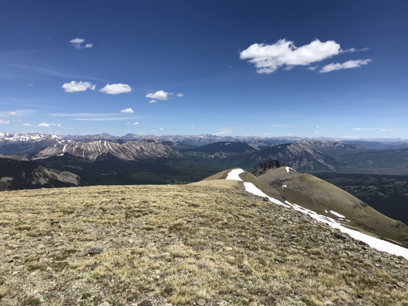
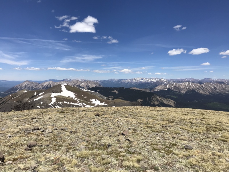
From the top of Storm Pass it is a straight forward ridge hike to the summit of West Elk. On the decent due to the wind and hazardous terrain just below the top of Storm Pass we dropped off the saddle into the upper basin and traversed east along the south slopes towards tree line and lower Storm Pass. Potentially when the snow is melted the trail up Storm would be easy to follow and use but with snow it was hazardous without traction.
Looking down the basin from West Elk.West Elk from Storm Pass.Elks spread out along the horizon.North towards the Anthracites.
This route is very off the beaten path and the views are amazing. The trails may see less than 50 people a year and depending on use they might not exist in a few years. I would highly recommend spending some time in this part of Colorado. Unfortunately my GPX track is only from camp to West Elk and back but the rest is well marked.
Route overview.
My GPS Tracks on Google Maps (made from a .GPX file upload):
I tried to climb West Elk years ago from Mill Creek but got weathered off. Made it to Storm Pass (figures) and had to turn back. Looks gorgeous this way!
Awesome report! After doing West Elk from this direction (also in June), I totally agree with the camp spot and with descending West Elk in the basin. It avoids the steep, snowy portion of Storm Pass, but reconnects with the trail above some small cliffs.
Caution: The information contained in this report may not be accurate and should not be the only resource used in preparation for your climb. Failure to have the necessary experience, physical conditioning, supplies or equipment can result in injury or death. 14ers.com and the author(s) of this report provide no warranties, either express or implied, that the information provided is accurate or reliable. By using the information provided, you agree to indemnify and hold harmless 14ers.com and the report author(s) with respect to any claims and demands against them, including any attorney fees and expenses. Please read the 14ers.com Safety and Disclaimer pages for more information.
Please respect private property: 14ers.com supports the rights of private landowners to determine how and by whom their land will be used. In Colorado, it is your responsibility to determine if land is private and to obtain the appropriate permission before entering the property.


")
")
")
")
")
")
")
")
")
")
")
")
")
")
")
")
")
")
")
")
")
")
")
")


