Download Agreement, Release, and Acknowledgement of Risk:
You (the person requesting this file download) fully understand mountain climbing ("Activity") involves risks and dangers of serious bodily injury, including permanent disability, paralysis, and death ("Risks") and you fully accept and assume all such risks and all responsibility for losses, costs, and damages you incur as a result of your participation in this Activity.
You acknowledge that information in the file you have chosen to download may not be accurate and may contain errors. You agree to assume all risks when using this information and agree to release and discharge 14ers.com, 14ers Inc. and the author(s) of such information (collectively, the "Released Parties").
You hereby discharge the Released Parties from all damages, actions, claims and liabilities of any nature, specifically including, but not limited to, damages, actions, claims and liabilities arising from or related to the negligence of the Released Parties. You further agree to indemnify, hold harmless and defend 14ers.com, 14ers Inc. and each of the other Released Parties from and against any loss, damage, liability and expense, including costs and attorney fees, incurred by 14ers.com, 14ers Inc. or any of the other Released Parties as a result of you using information provided on the 14ers.com or 14ers Inc. websites.
You have read this agreement, fully understand its terms and intend it to be a complete and unconditional release of all liability to the greatest extent allowed by law and agree that if any portion of this agreement is held to be invalid the balance, notwithstanding, shall continue in full force and effect.
By clicking "OK" you agree to these terms. If you DO NOT agree, click "Cancel"...
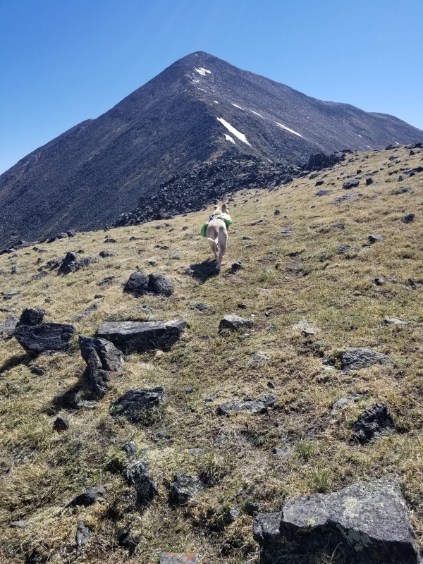
My husband Bob can't hike any more. He dropped me and our dog Tippi off at the Marshall Pass Trail head and planned to visit a friend in Howard with our other dog and return to pick me up. His last words to me as I began to walk up the hill at 7:20 am were, "When do you want me back?" "1:00!" I shouted back to him. That was not gonna happen.
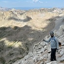
A couple preceded me by about ten minutes. I ran into them on their descent when I was almost to the summit.
Before the hike
Bob left his friend's house at 11:30 because he wanted to be back early. Maybe he hoped I would return sooner than 1:00. I was not even at the summit until 1:14. Throughout the hike I had been texting and sending him pictures on my breaks, and did not receive a single message in return from him. In past hikes he would reply to me, so I knew he was having the same connectivity trouble on his end. I had my WiFi off and airplane mode on while hiking to spare the battery. I reversed those on breaks in an attempt to reach Bob. We have Spectrum Mobile and Verizon Wireless.
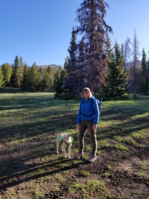
Leaving timberline, faint trail
There were several fallen trees over the trail, which was easy to follow through the woods until timberline and then it became faint. Timberline is about .80 of a mile from the start. I came to a place where I could identify my position according to pictures that I brought with me from the 14ers dot com directions. On my way down I wasn't as sure about the trail at that point but a few cairns helped guide me back to the right place at timberline.
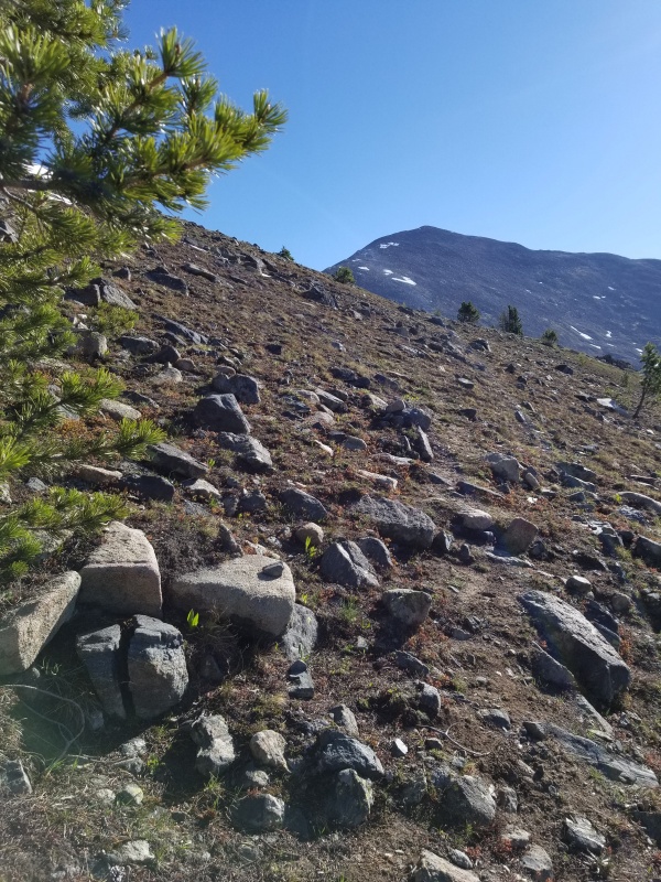
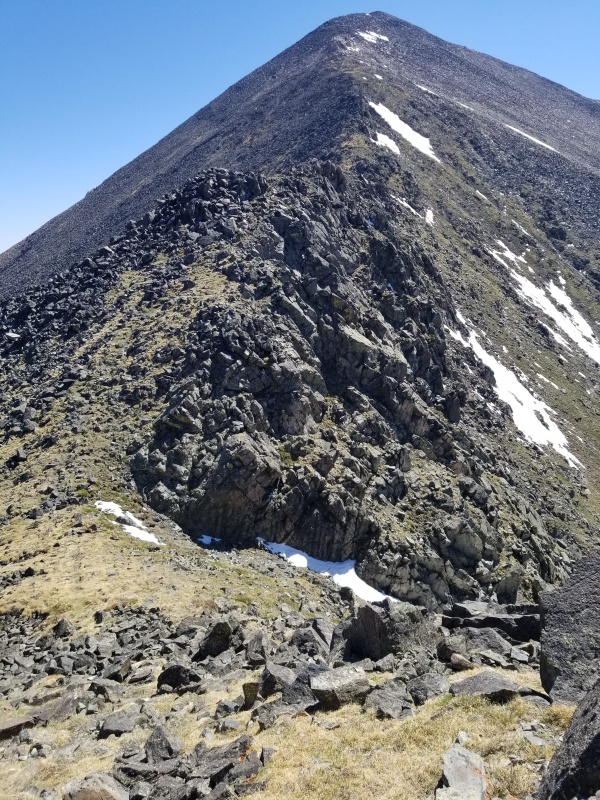
Tippi approaching Mt. Ouray
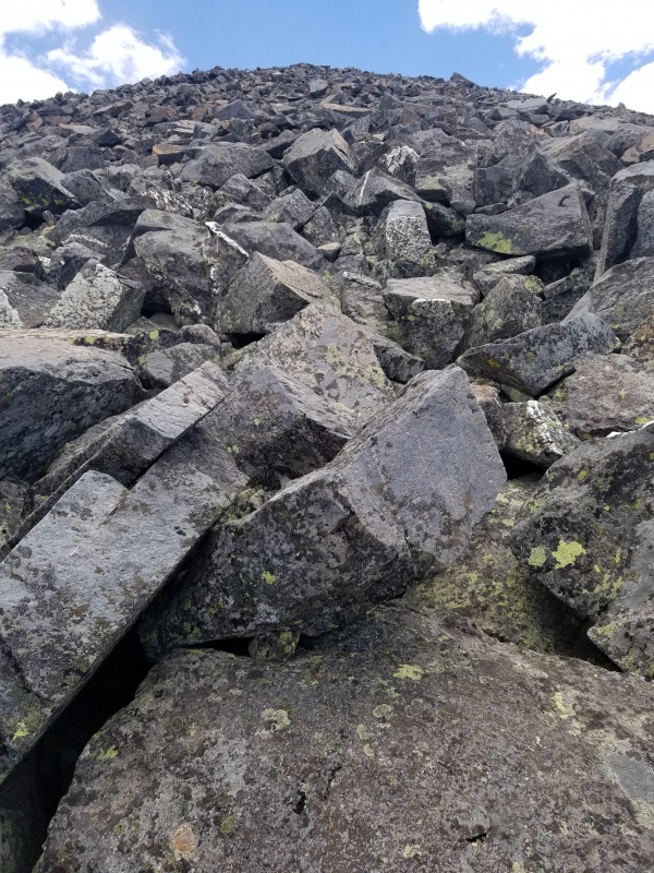
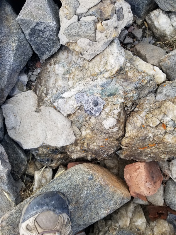
I dropped into the larger saddle at about 10:20; three hours after leaving the trail head. I thought I had a conservative estimate of one mile per hour ascent, and faster down. According to my app (MapMyHike), I had hiked 2.2 miles, so I was slower than I wanted to be, but this should mean I have less than a mile to the summit. I did not know the terrain ahead was 100% boulders, and of course it's all uphill, and that short stretch would take me another three hours!
About to drop into the saddle at 10:20 am.About two thirds of the hike is over bouldersLooking down at the trail head
I continued to send updates to Bob. At 11:24, my text read "2.57 miles at 11:22 am (I always included the time of my text). Another half mile to go. I won't make it by back by 1:00." I hoped he would relax and not bother to return that soon.
My text at 12:10, "2.82 miles. Not there yet. Every 10th mile is excruciating. I will be up shortly." It would be another hour.
I plugged a portable battery charger into my phone when I was close to the top, because the charge was down to 46%. Unfortunately, the charger didn't even work very long. I had recharged it the day before, but.. I guess now I need to find out what's wrong with that. I wanted to be sure to get the whole hike covered, and of course, to stay in touch. The weather was great, thank you Lord!
Another text to Bob, "2.99 miles at 12:46. Still more to go."
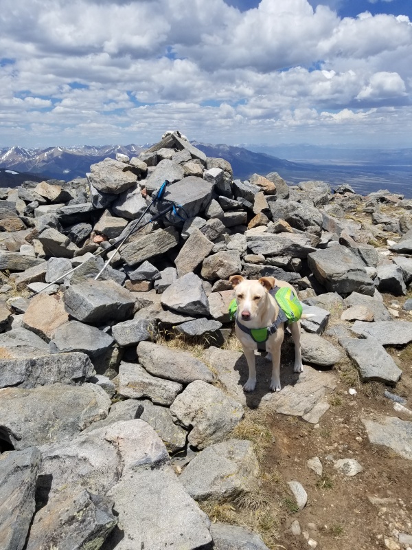
I reached the summit at 1:14 pm. It was kind of a shock. I looked around and told Tippi, "Holy Cow! We're here!" My app said I had hiked 3.17 miles in 6 hours. I took several pictures.
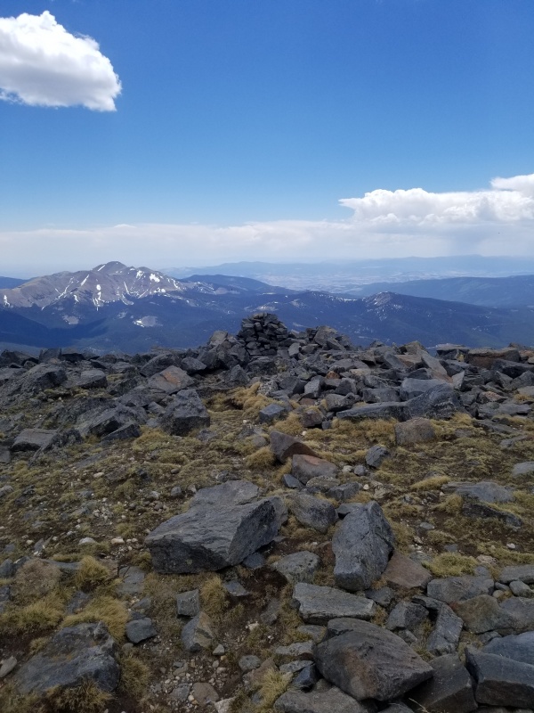
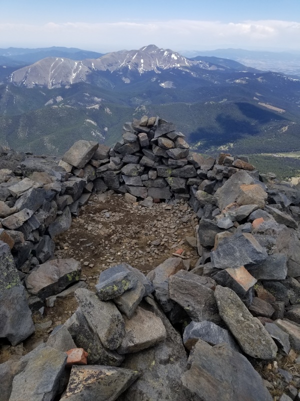
Summit rock pileTippi at the summitSummit marker. It looks melted.
Summit shelter
Total time 10 and a half hours. Actual hiking time 7 hours, 52 minutes per MapMyHike. I took a lot of breaks and paused my app for most of them.
This was a more grueling hike than I thought it would be. I love the solitude, beauty, and satisfaction of hiking the peaks.
Thumbnails for uploaded photos (click to open slideshow):
He did get some of my messages and knew I would be late, although I wasn't getting his messages. He left a note for me on the cabin.
"Gail,
It's 5:30. Trying to find cell phone coverage to see if you left any more messages. I will be back by 6 pm. Wait in the cabin."
I didn't see the note. Bob wasn't there when I got back but, long story short, he arrived shortly.
He and our other dog walked up the trail a little past treeline at 1:30, and returned to the car prayerfully.
Caution: The information contained in this report may not be accurate and should not be the only resource used in preparation for your climb. Failure to have the necessary experience, physical conditioning, supplies or equipment can result in injury or death. 14ers.com and the author(s) of this report provide no warranties, either express or implied, that the information provided is accurate or reliable. By using the information provided, you agree to indemnify and hold harmless 14ers.com and the report author(s) with respect to any claims and demands against them, including any attorney fees and expenses. Please read the 14ers.com Safety and Disclaimer pages for more information.
Please respect private property: 14ers.com supports the rights of private landowners to determine how and by whom their land will be used. In Colorado, it is your responsibility to determine if land is private and to obtain the appropriate permission before entering the property.

")
")
")
")
")
")
")
")
")
")
")