| Report Type | Full |
| Peak(s) |
Kit Carson Peak - 14,167 feet Mt. Adams - 13,937 feet |
| Date Posted | 06/12/2020 |
| Date Climbed | 05/23/2020 |
| Author | Will_E |
| Kit Carson and Adams |
|---|
|
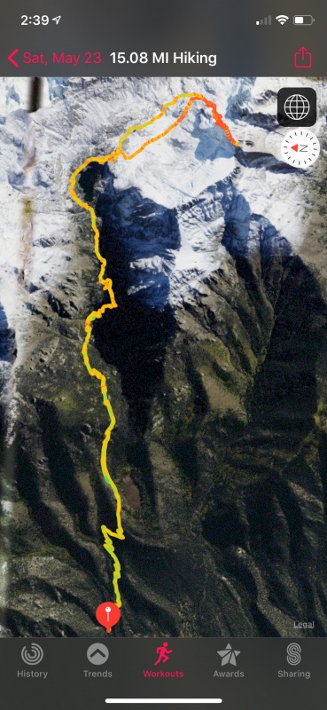
Kit Carson and Adam's Peak May 23-24, 2020 The Sangre's were the place to be in late spring of 2020, they were drying out faster than the other ranges in Colorado. Left work on Friday, May 22 and made my way to the town of Crestone and set up camp just a short distance from the trailhead. 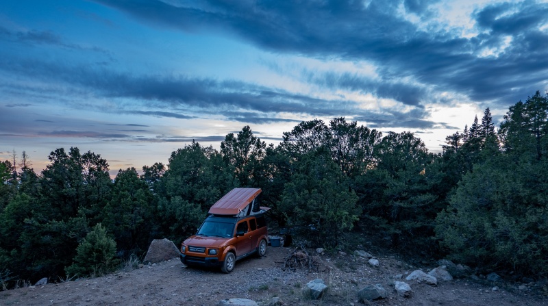
Woke up and hit the trail about 7:30 am, was in no major rush to get started. The trail to Willow Lake has some nice views, some good steepness, and on this day, it was totally dry. 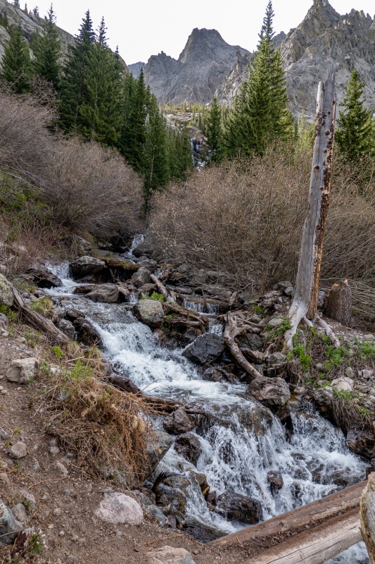
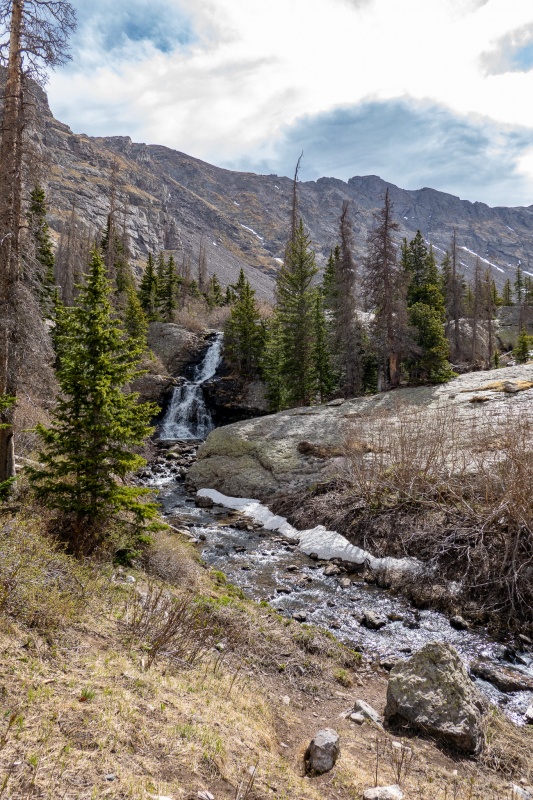
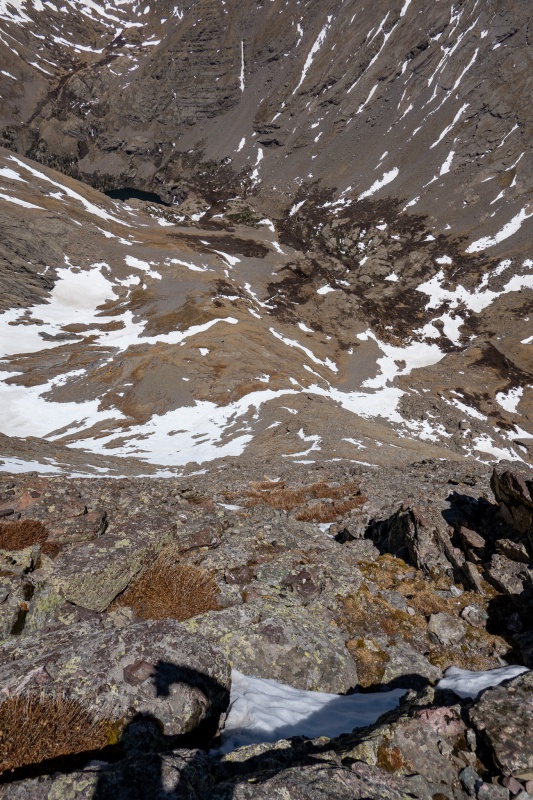
First view of Kit Carson is after the lake. 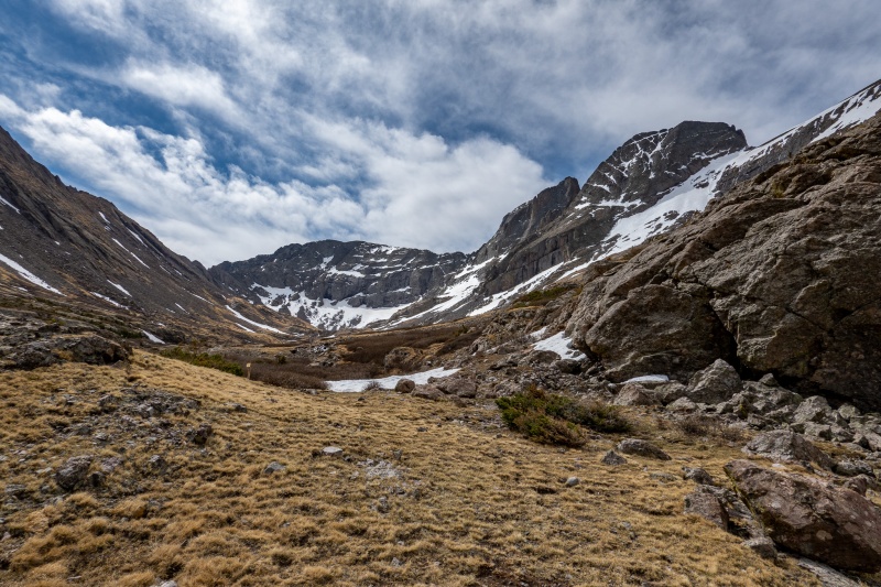 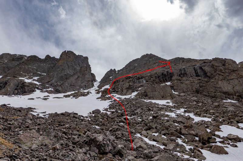
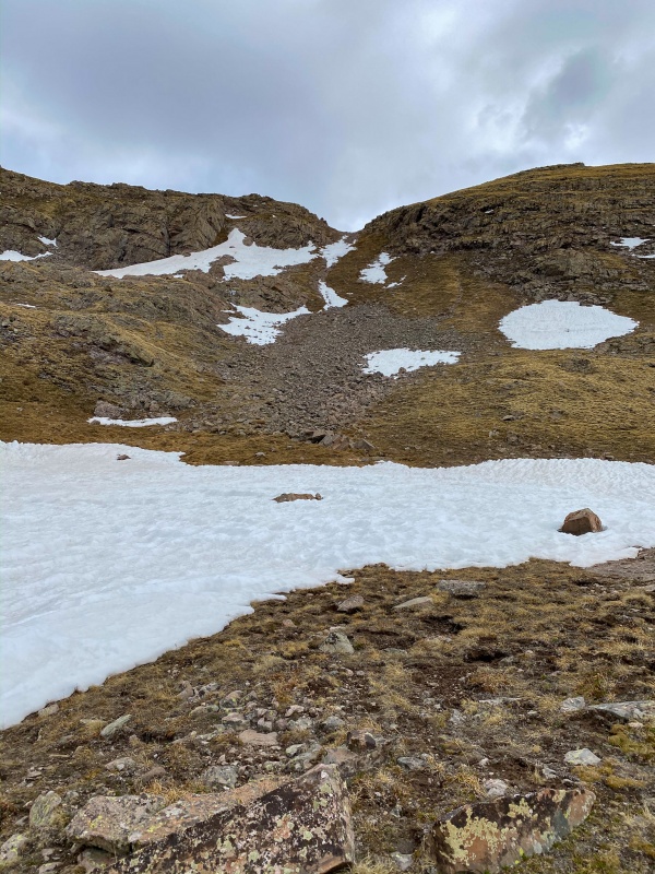
The route was mostly dry until nearing Outward Bound Couloir, and there was some fun climbing to avoid some of the snow fields.
Turned right just before the OB Couloir, had one steep snowfield to cross. I had micro spikes and axe with me, didn't use the spikes but I did have the axe at the ready, the snow here was relatively firm. 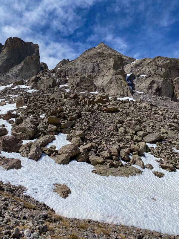
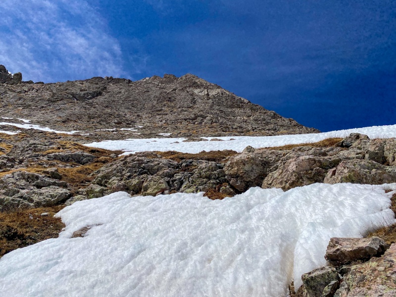
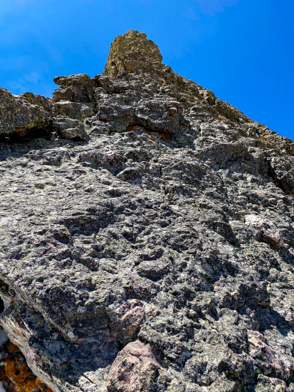
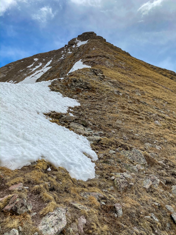
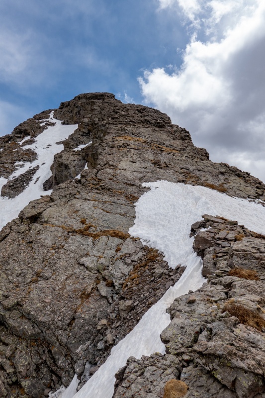
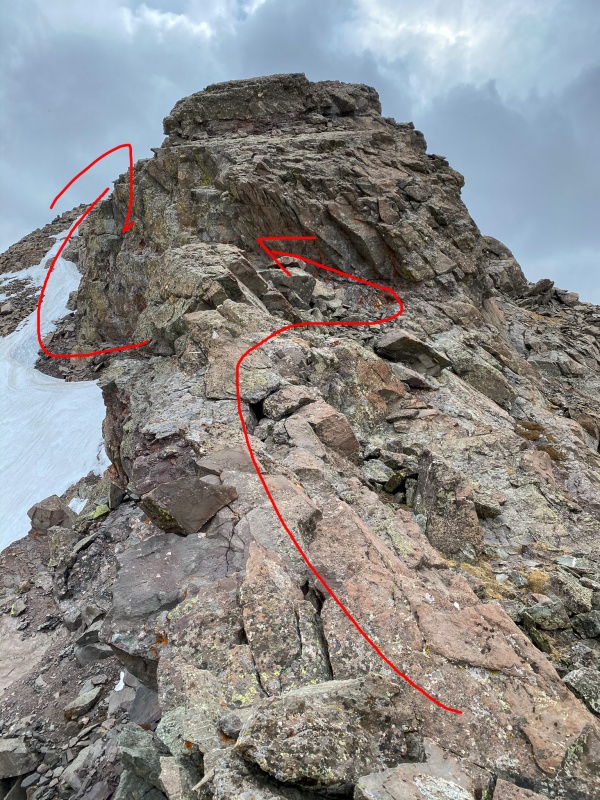
There's not really a formal route up Kit Carson's north ridge, you just sort of find it after the grassy sections to the right of OB Couloir. Now I reach the start of the North Ridge. Its spicy good fun. 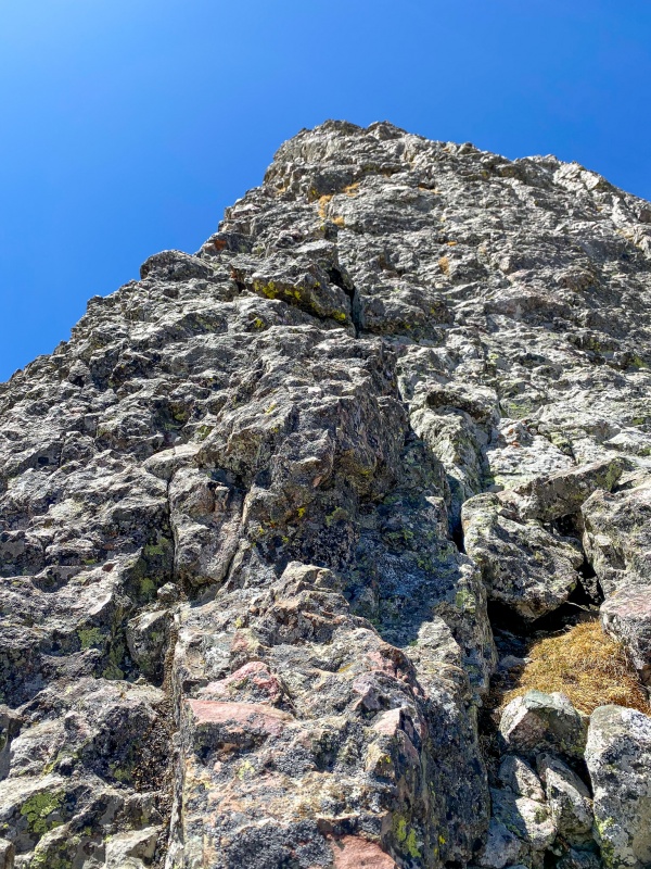
At the top of the north ridge, I see my first cairn of the day. 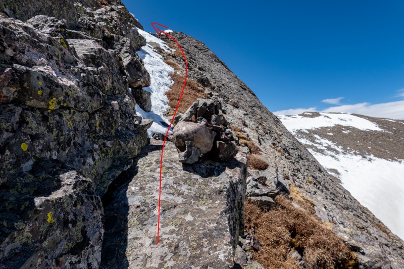
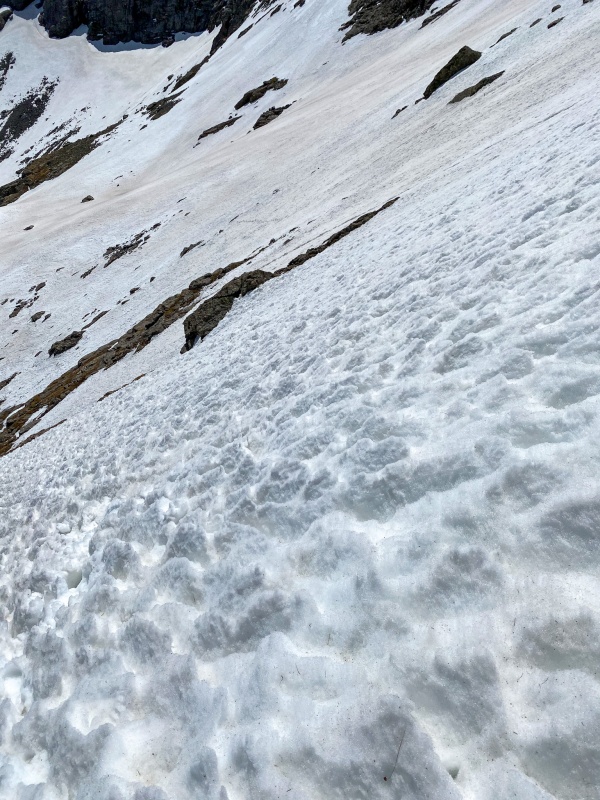
There were a few snow filled gullies between the right turn and summit, the snow was pretty much ice, so I had to down climb a bit to where the gullies narrowed enough to jump across. 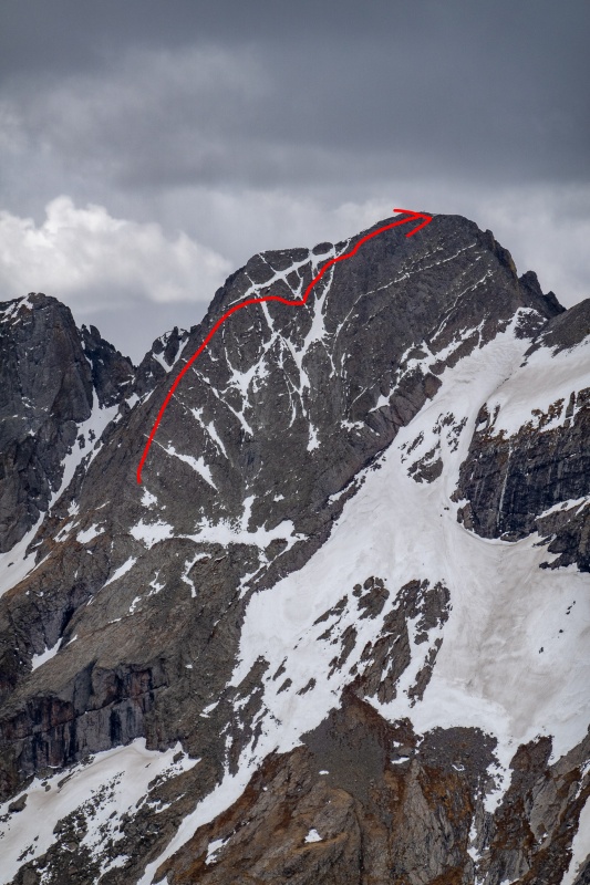
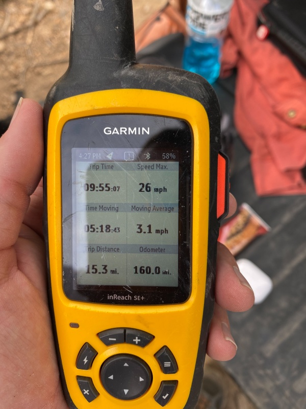
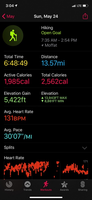
Reached the top in 5 hours, 6 minutes. Would have been nice to beat 5 hours. Will give me something to shoot for next time. 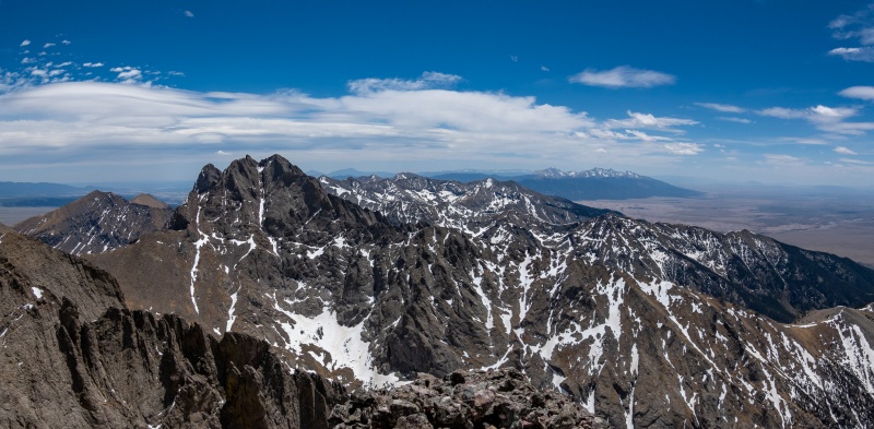
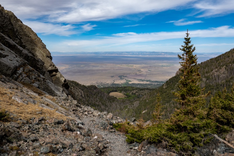
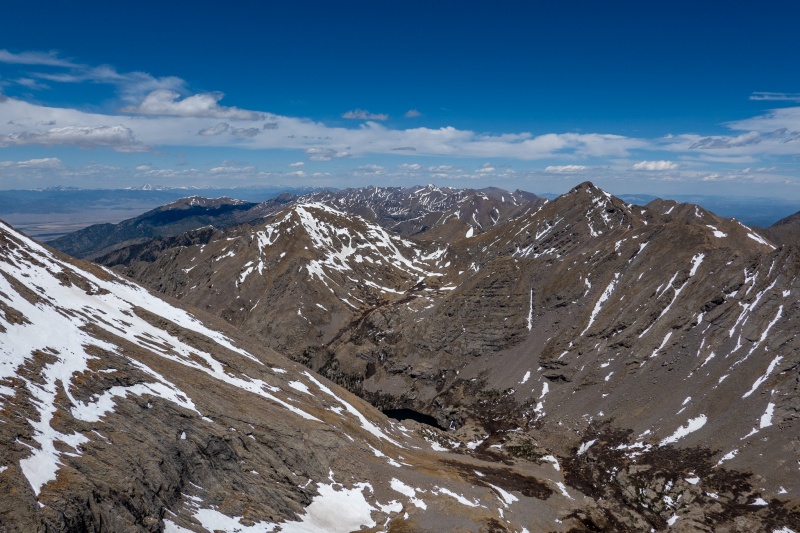
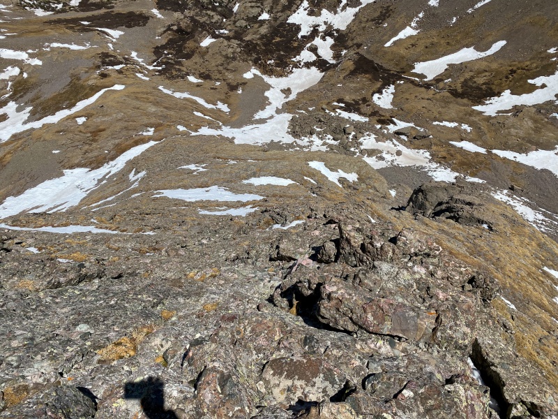
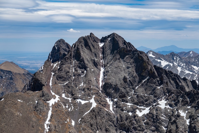
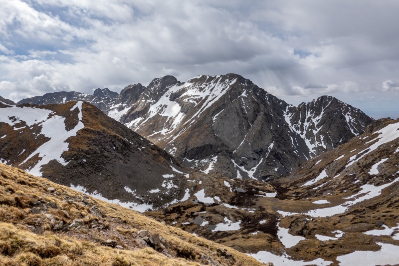
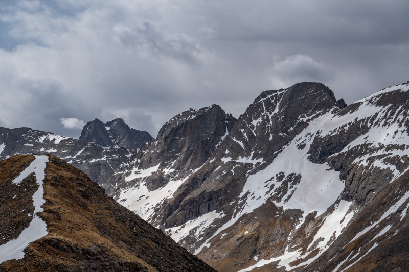
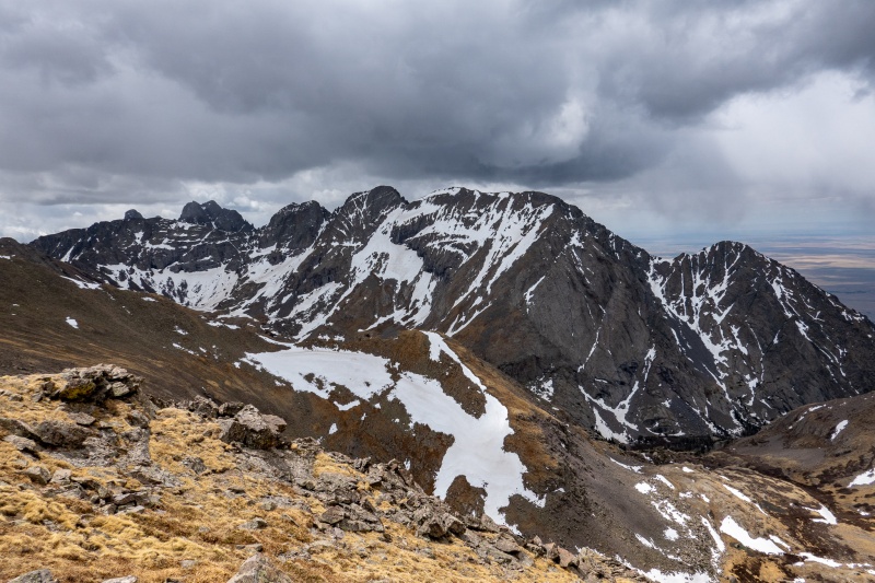
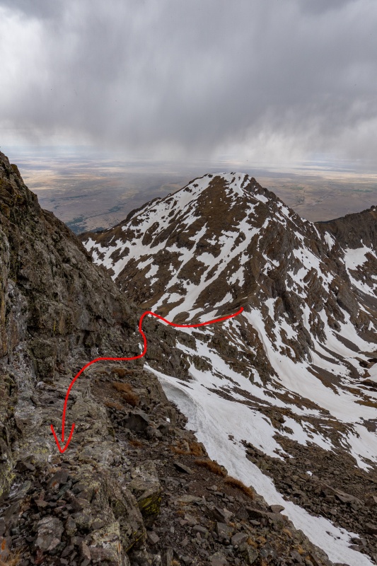
Views from Kit Carson are some of the best around. The Crestones, Humboldt, Sand Dunes, and the Blanca group can all be seen on a clear day. 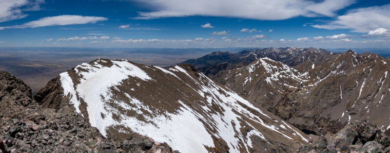
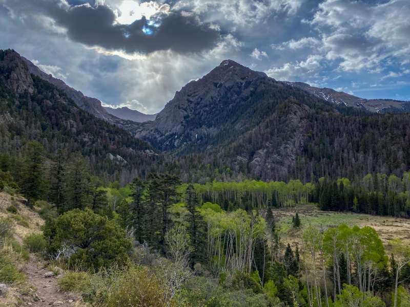
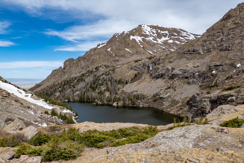
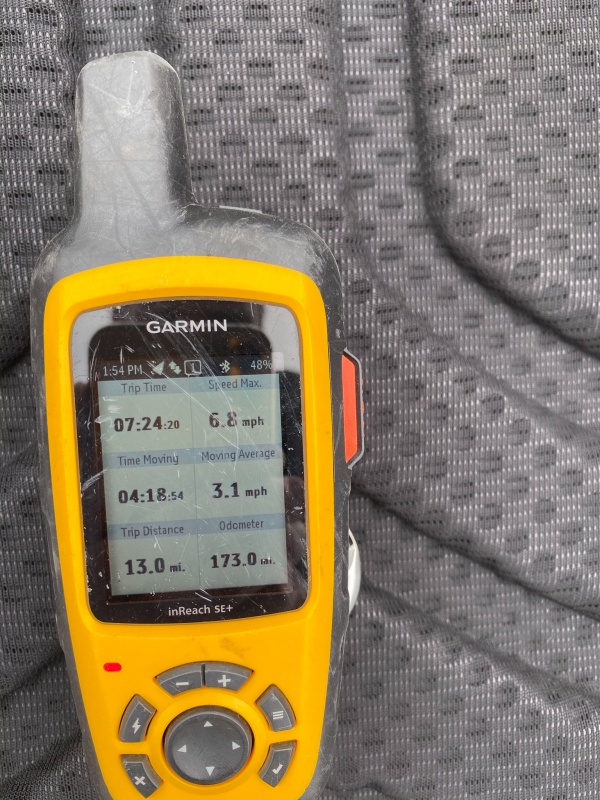
Return trip was thankfully uneventful. Some climbers descend to the Avenue then head across to bag Challenger Point from here. I knew the Avenue was still currently loaded with snow from a report the previous week. Its passable with snow, as had been done the previous week, but it sketches me out a bit. In April 2019 I summitted Challenger, planned to also summit Kit Carson, but when I reached the Avenue it was stiff as ice, and I had just micro spikes with me. I went across the first part (not wise), was hella sketchy, so I turned back. A week later another climber fell here (RIP Tyler). Its probably unfounded, but the Avenue with snow just sketches me out. At any rate, I down climbed the north ridge, no real issues, just took a lot of time and some very careful route selection. The rest of the hike also went off without a hitch. The next day I made my way back to Willow lake to climb Mt. Adams. Its a class 3 rated route, I was looking forward to having an easier day, especially since I had a 3.5 hour drive to get home after my hike. From Willow Lake I took a left turn just after the tree section, and climbed straight up. The best views of Willow Lake are from here. 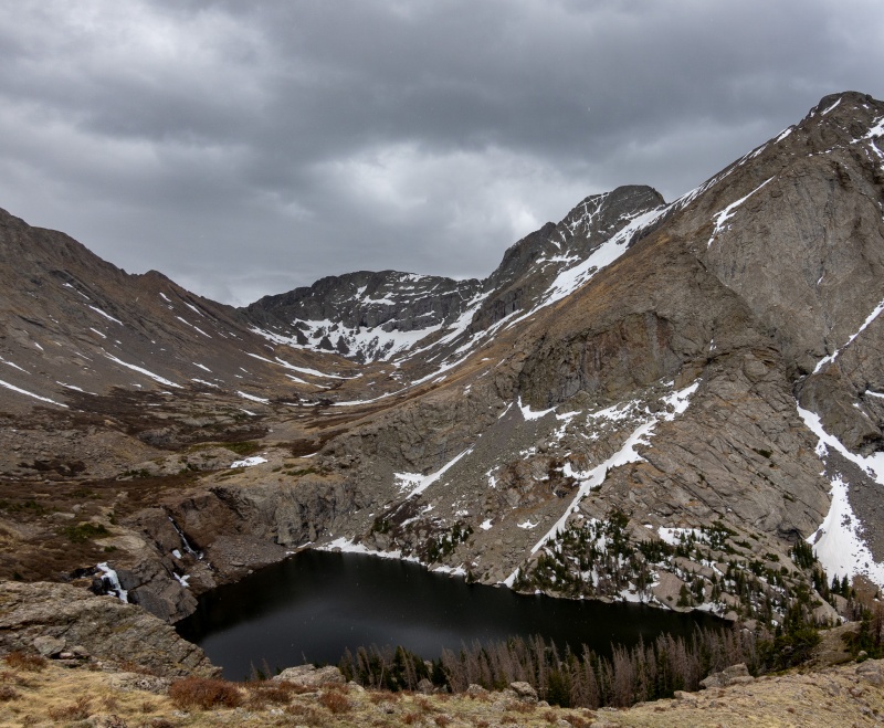
There's a decent trail through the willows after reaching the top of the first slope, but still requires some bushwhacking. 
The route looked pretty dry, but there were a few hidden snowfields to cross. 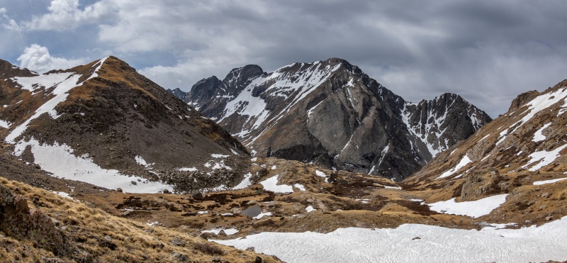
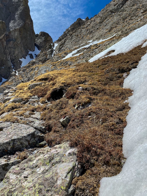
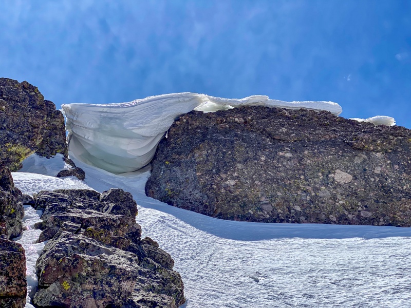
I wasn't expecting anything to be a challenge on Adam's, I mean, its class 3, right? The area around the notch near summit would be tougher than it should have been due to snow around this area. 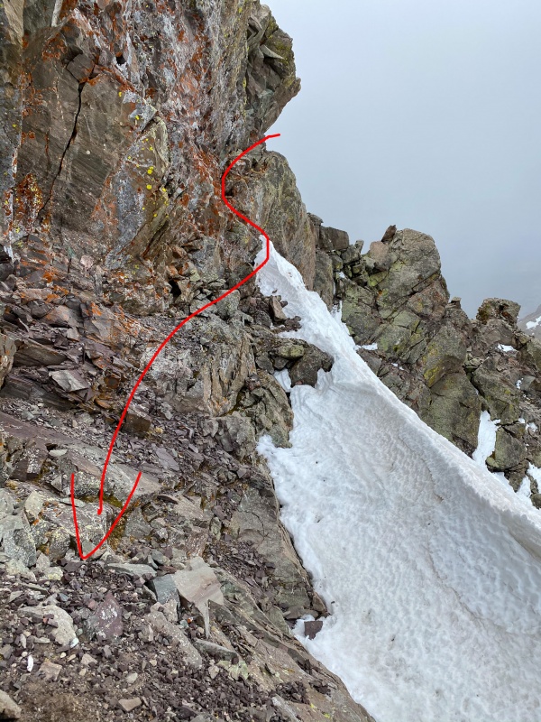
After the challenging notch situation, the remaining route to summit was easy. It started snowing just before I reached the summit. I thought I had a pair of gloves in my bag, apparently not. 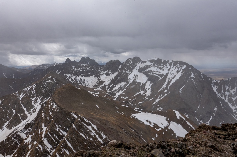
Return was uneventful, other than the aforementioned notch. 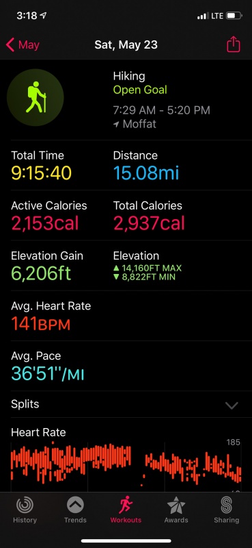

Thanks for reading. Thumbnails for uploaded photos (click to open slideshow): ")
")
")
")
")
")
")
")
")
")
")
")
")
")
")
")
")
")
")
")
")
")
")
")
")
")
")
")
")
")
")
")
")
")
")
")
")
")
")
")
")
")
")
")
")
")
")
")
")
|
| Comments or Questions |
|---|
|
|
Caution: The information contained in this report may not be accurate and should not be the only resource used in preparation for your climb. Failure to have the necessary experience, physical conditioning, supplies or equipment can result in injury or death. 14ers.com and the author(s) of this report provide no warranties, either express or implied, that the information provided is accurate or reliable. By using the information provided, you agree to indemnify and hold harmless 14ers.com and the report author(s) with respect to any claims and demands against them, including any attorney fees and expenses. Please read the 14ers.com Safety and Disclaimer pages for more information.
Please respect private property: 14ers.com supports the rights of private landowners to determine how and by whom their land will be used. In Colorado, it is your responsibility to determine if land is private and to obtain the appropriate permission before entering the property.


