| Report Type | Full |
| Peak(s) |
Boulder Mountain - 13,530 feet Mt. Mamma - 13,672 feet |
| Date Posted | 05/11/2020 |
| Date Climbed | 05/08/2020 |
| Author | WildWanderer |
| Ridge from Boulder to Mamma and Back |
|---|
|
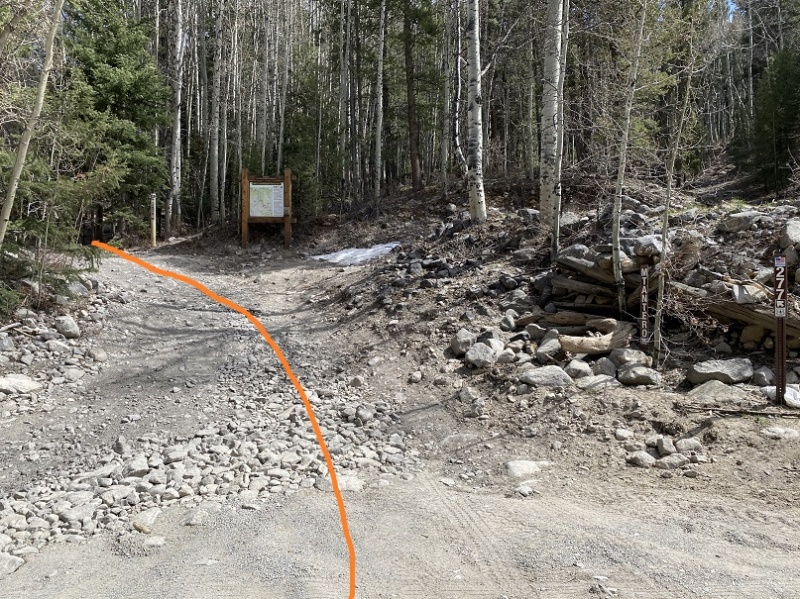
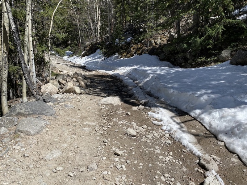
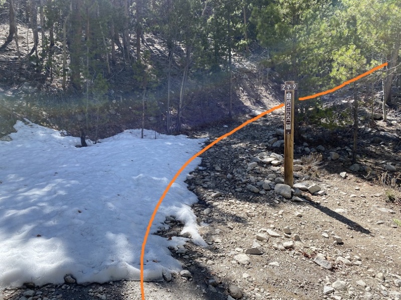
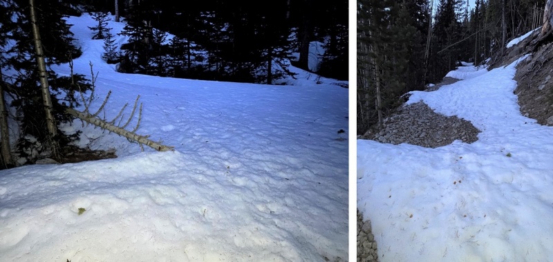
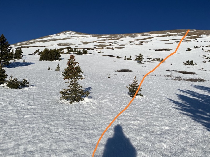
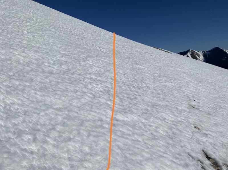
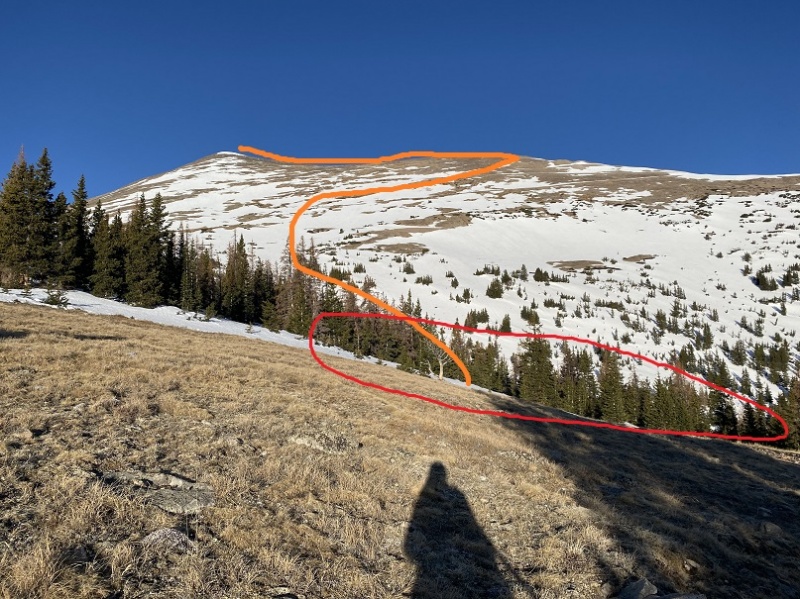
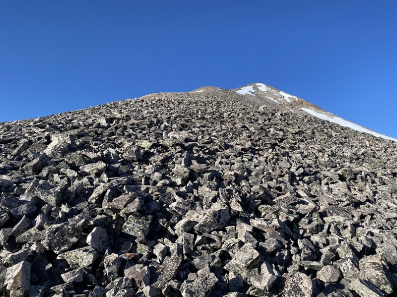
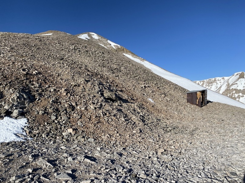
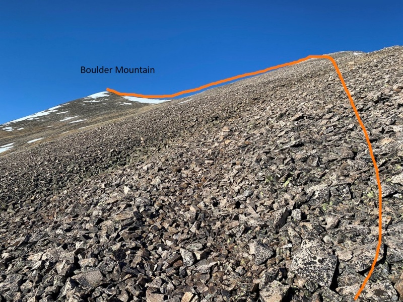
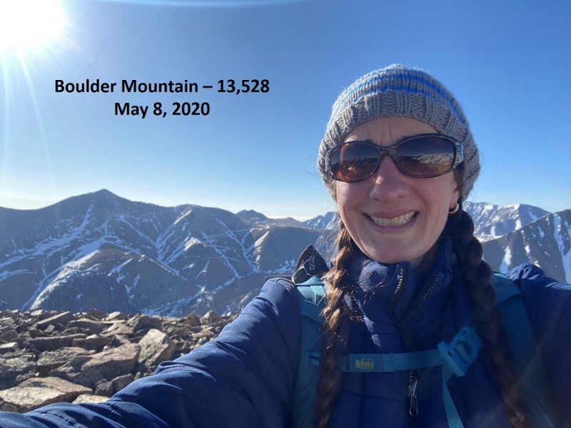
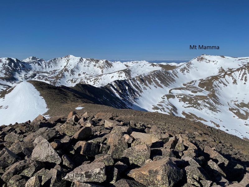
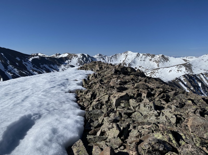
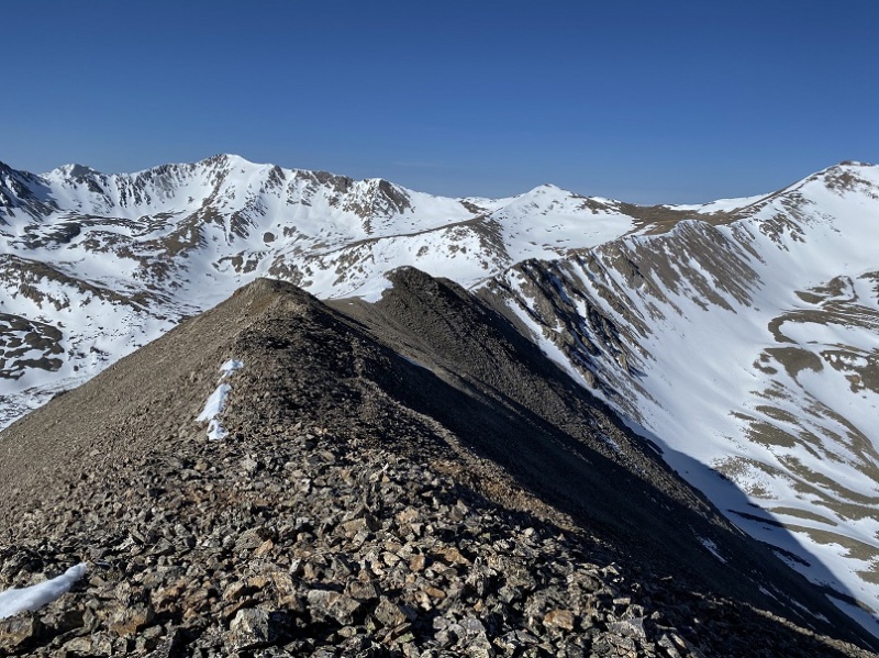
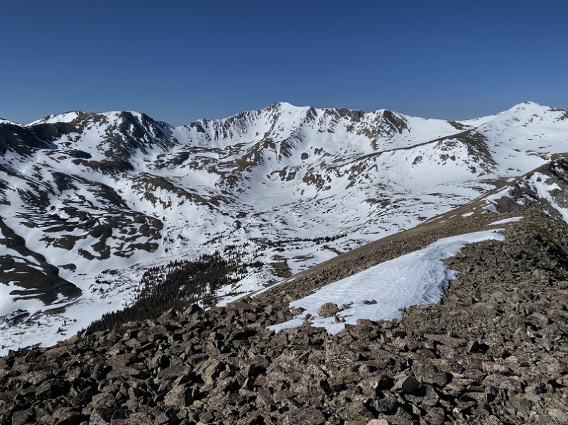
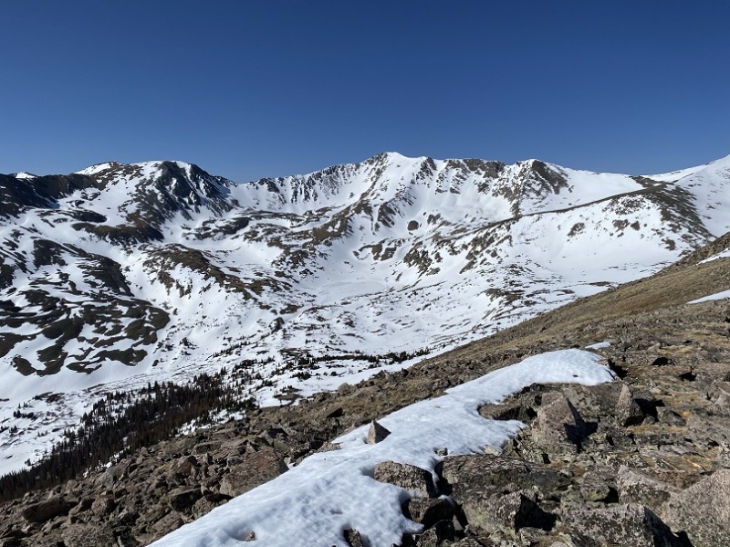
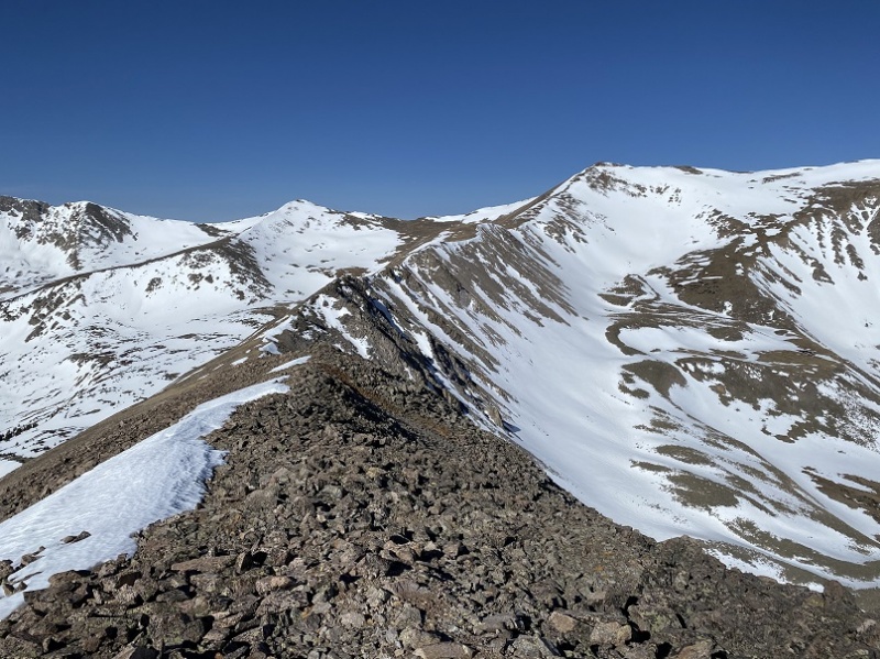
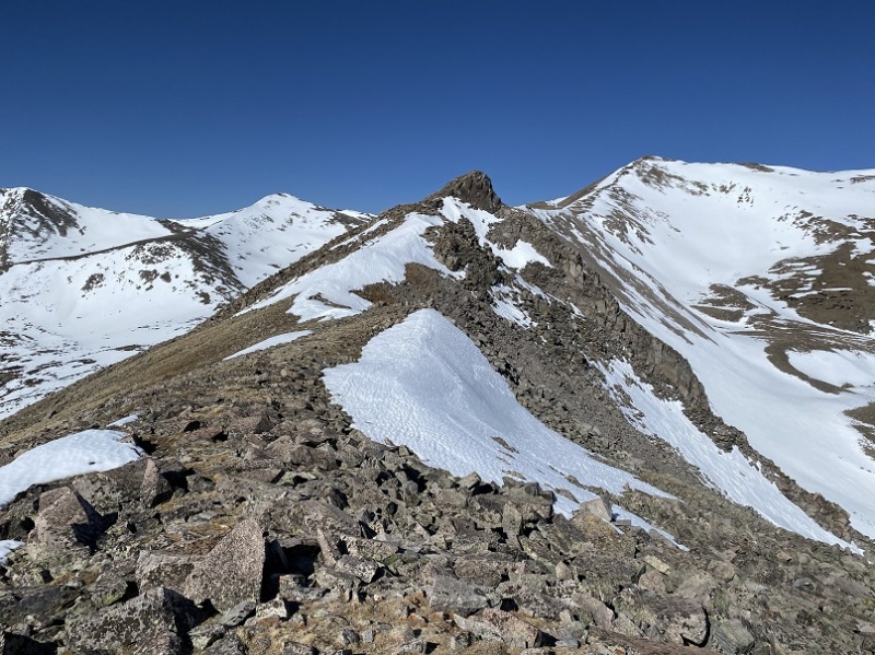
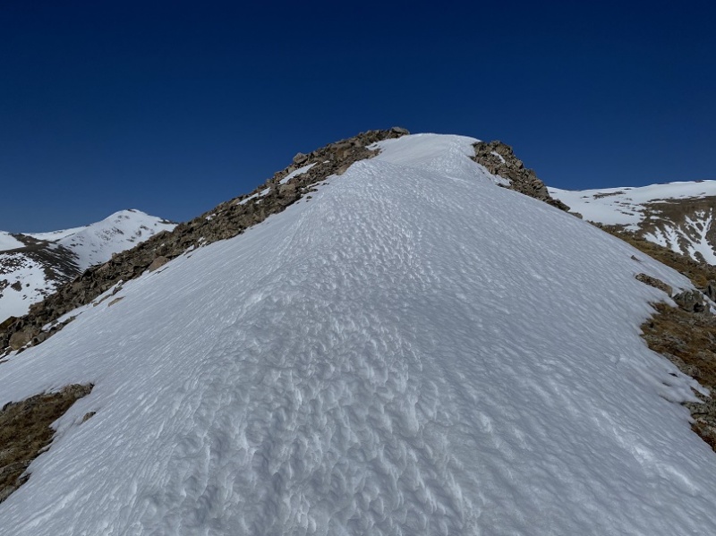
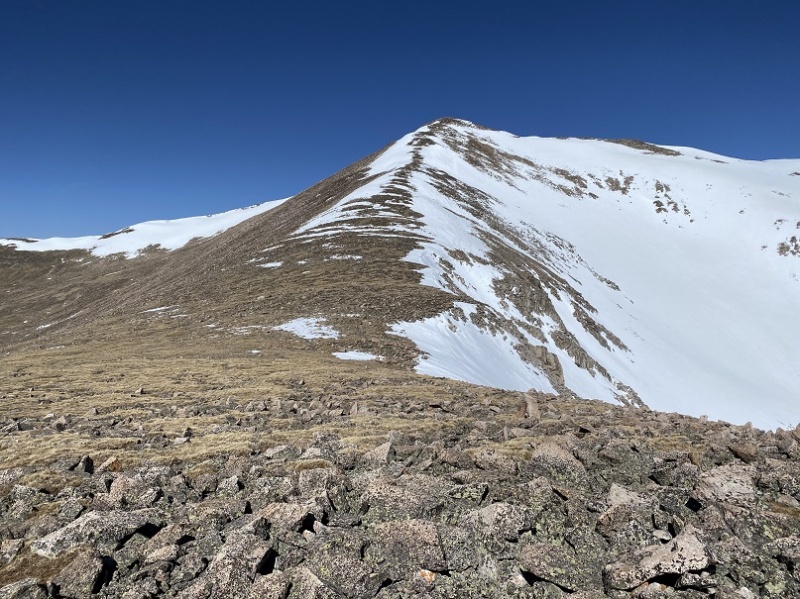
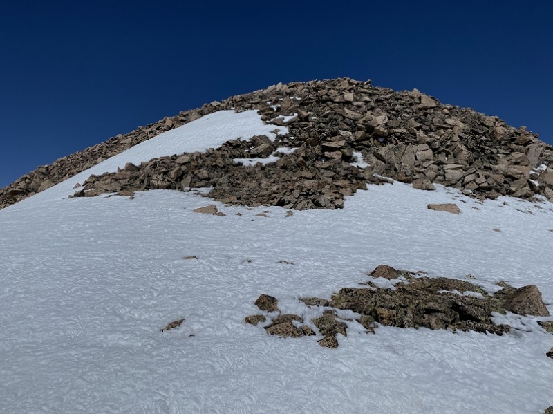
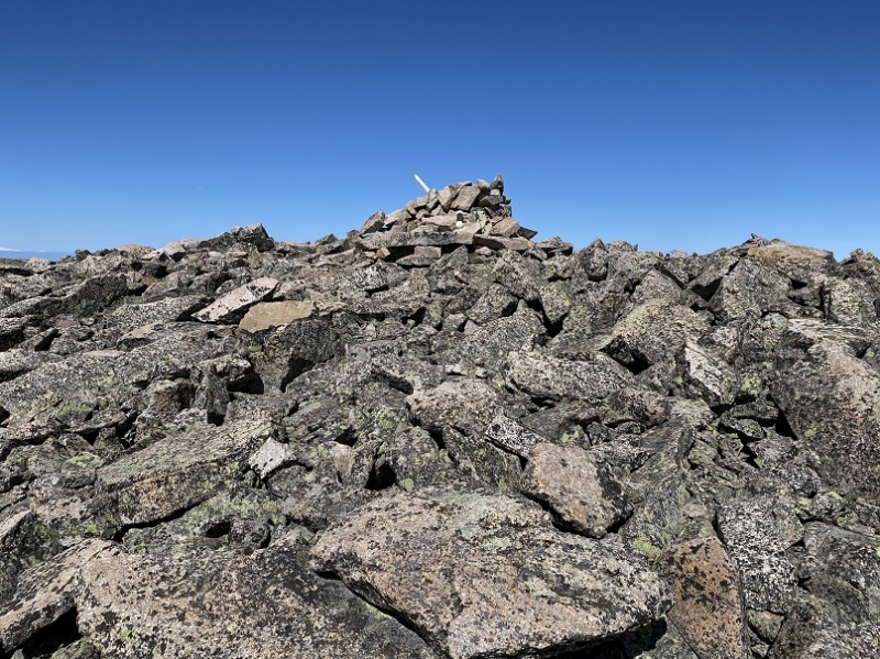
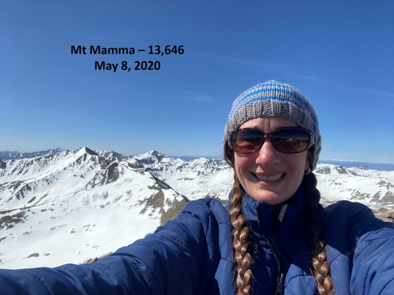
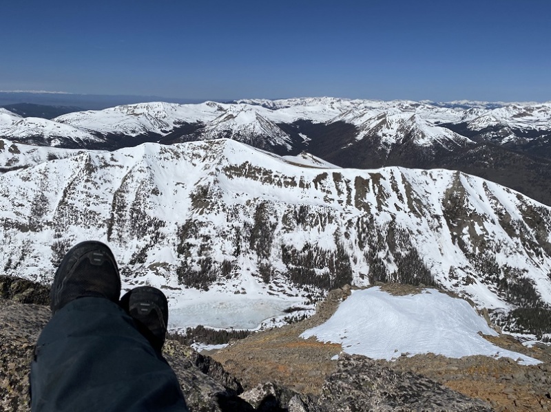
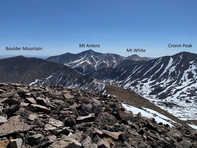
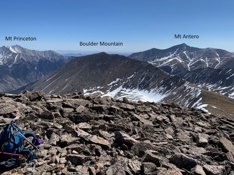
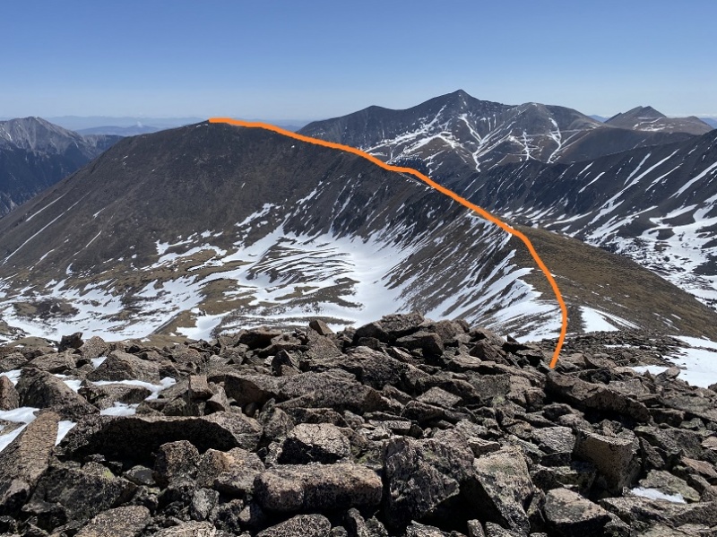
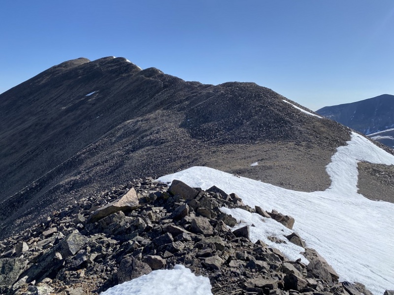
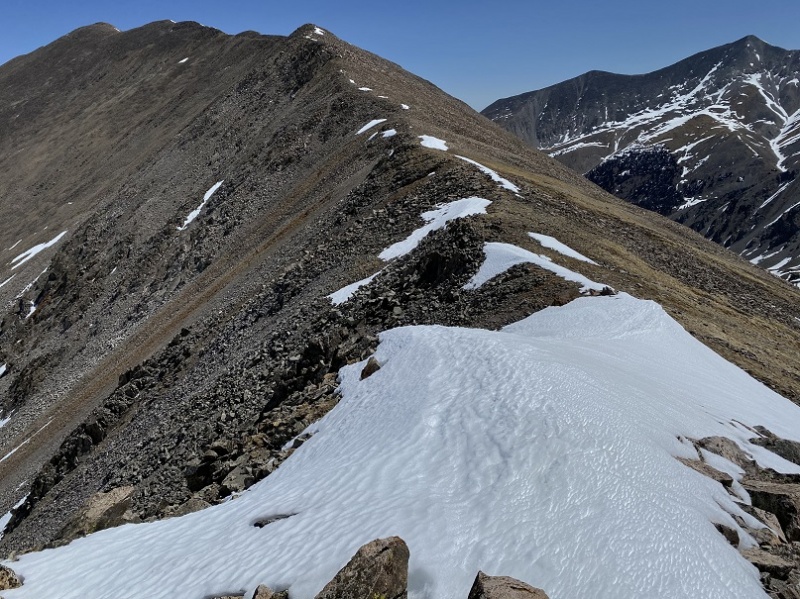
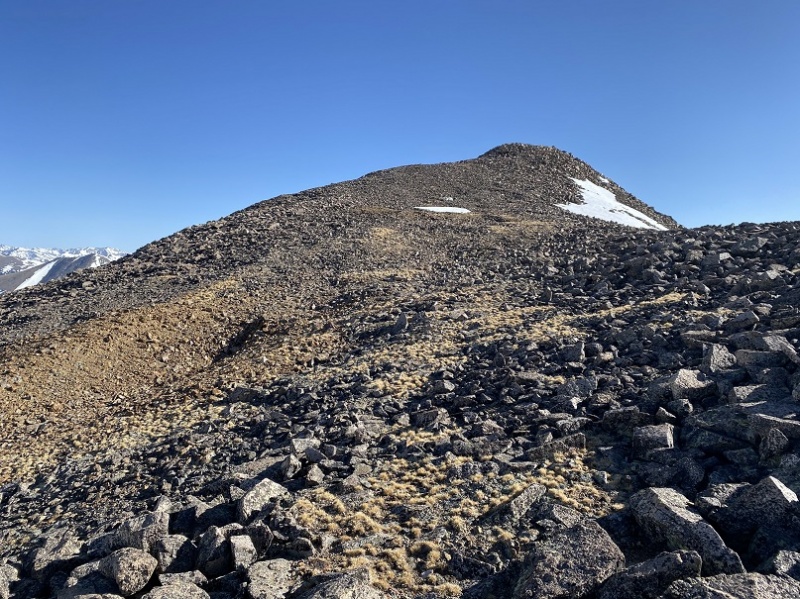
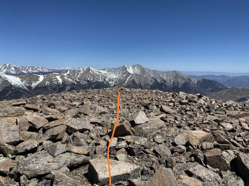
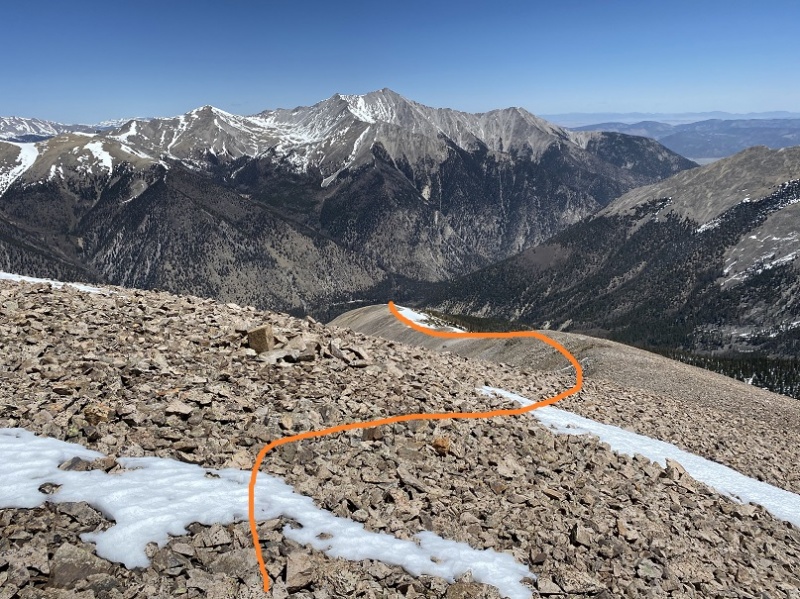
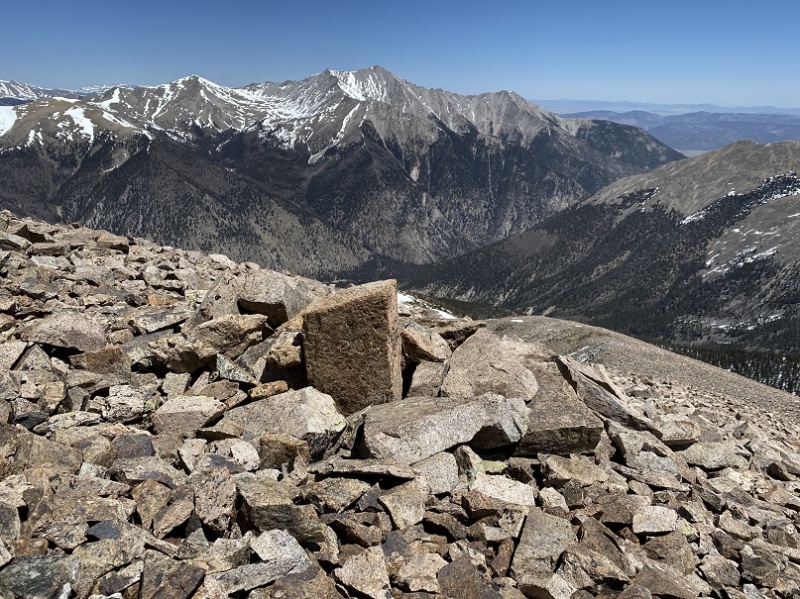
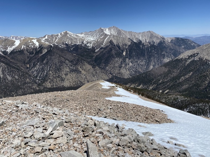
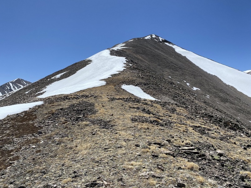
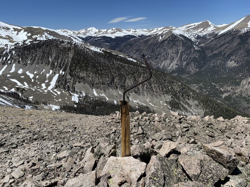
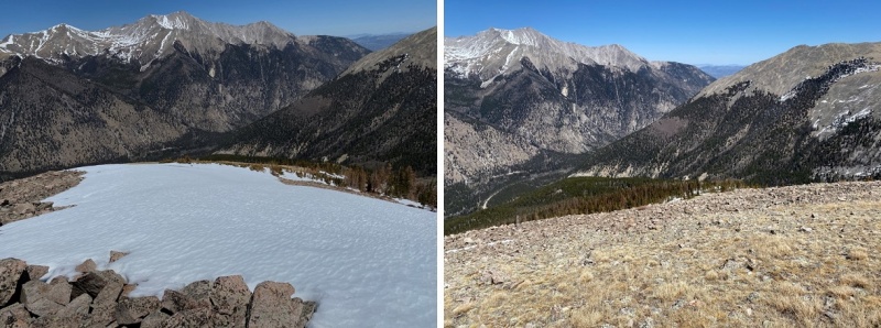
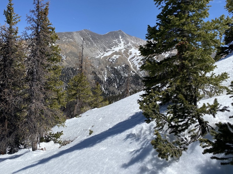
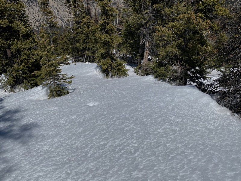
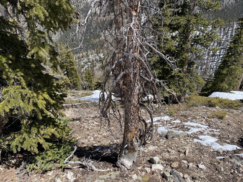
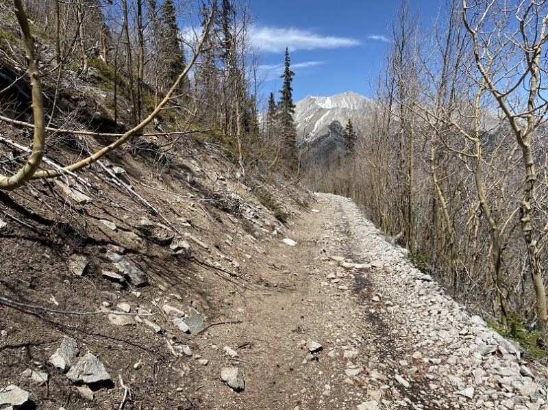
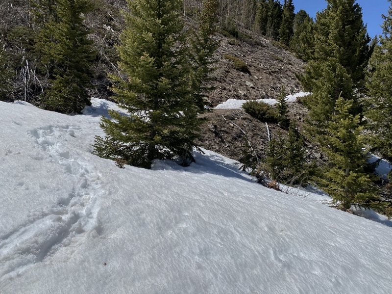
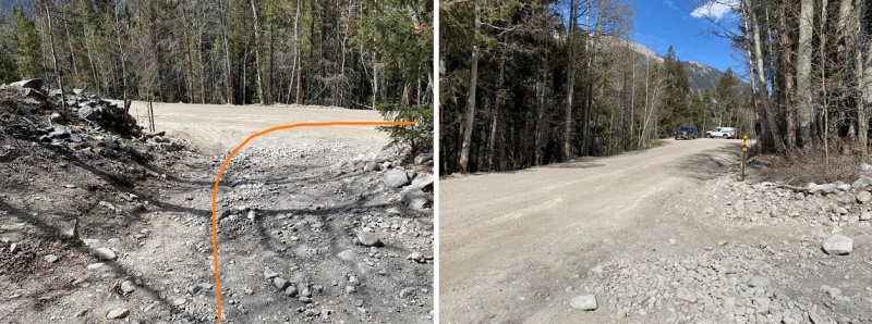
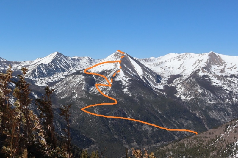
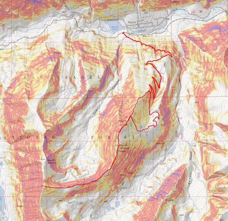
Boulder Mountain – 13,528 & Mt Mamma – 13,646 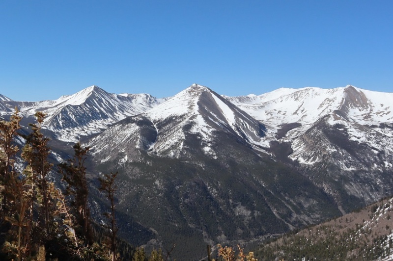 RT Length: 15 miles Elevation Gain: 5607’ I realized I’d forgotten my camera about 10 minutes after leaving the house, and decided it wasn’t worth it to drive back and get it. That decision haunted me for the next hour. Luckily I still had my phone and it was supposed to be a warm day, so as long as it wasn’t too windy I’d still be able to take pictures. I arrived at the Baldwin Gulch trailhead, parked, and was on the trail by 4:30am. A little later than I’d wanted to start, but early just the same. The trail starts here, at the intersection of 162 (which parallels Chalk Creek) and 277. 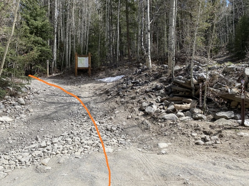 The 4WD road that is 277 was drivable, but I was glad I’d walked the 1.25 miles because there was no place to park a vehicle: all of the parking areas were covered in snow. 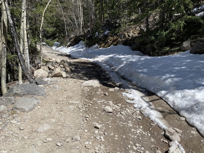 After hiking for 1.25 miles I turned right (west) onto 279 and followed another 4WD road. This road was not drivable. 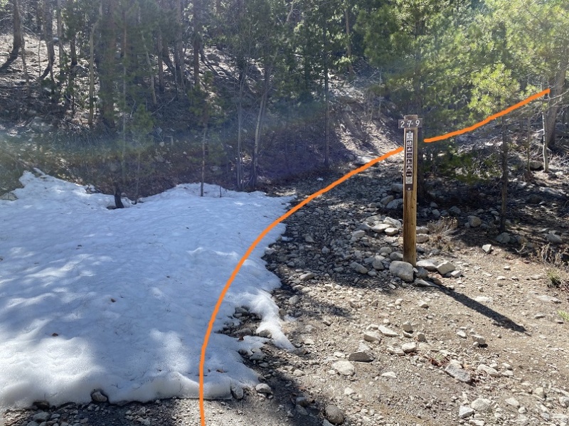 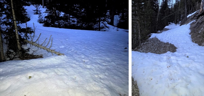 At this time in the morning the snow was still solid and I could walk on top of it, but I knew it would be a slog-fest by the afternoon. There weren’t any footprints/snowshoe/ski/animal tracks on this entire road, so I knew no one had been here in while. 279 switchbacks around the east side of Boulder Mountain. Last week I’d attempted 13,626 and got a good view of how I wanted to summit Boulder: My goal was to hike along the road until I made it to the ridge, and then take the ridge up. However, as I was hiking the road looked ‘doable’ so instead of aiming for the ridge early I continued hiking on the road. I realized later this wasn’t the best option. I crossed a snow-filled gully at 11,700’ that did not look like it would be stable in the afternoon sun and followed the road until about 12,100’ when the road became too dangerous to traverse. The slope angle here was between 29-32* and luckily for me the snow was still fairly solid. I decided to leave the road and instead climb straight up to the ridge. Snowshoes and spikes were not needed, as the snow was still firm. 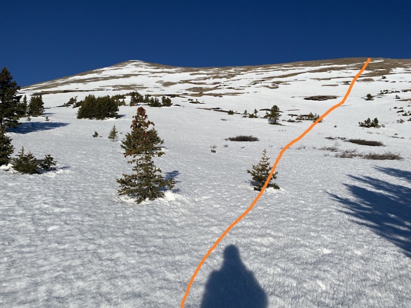 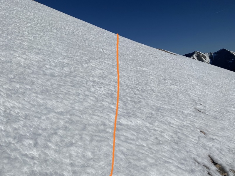 This was trickier than I’d anticipated, and I decided as I was climbing up I was not going to take the same way back down. I had several options for my descent and would make my final decision depending on further conditions. The route I took is in orange, the gully I wished to avoid is circled in red, and everything above the circle was avalanche prone. I didn’t want to walk on the road below the gully on my descent, or traverse across the gully again. 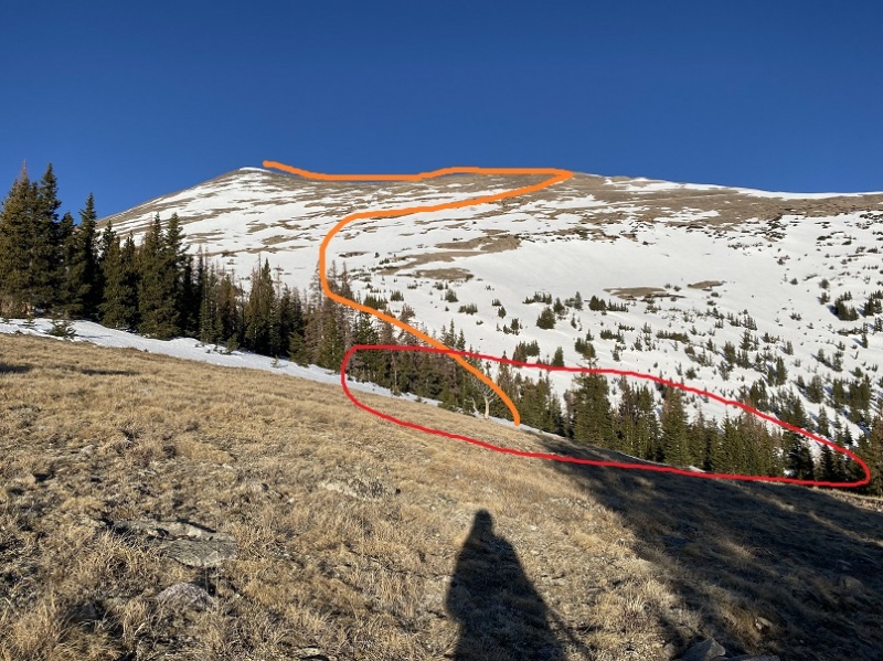 I felt much safer once I made it to the dry ridge. It was a simple hike up the ridge to the summit on loose talus. Also, that’s not the summit. 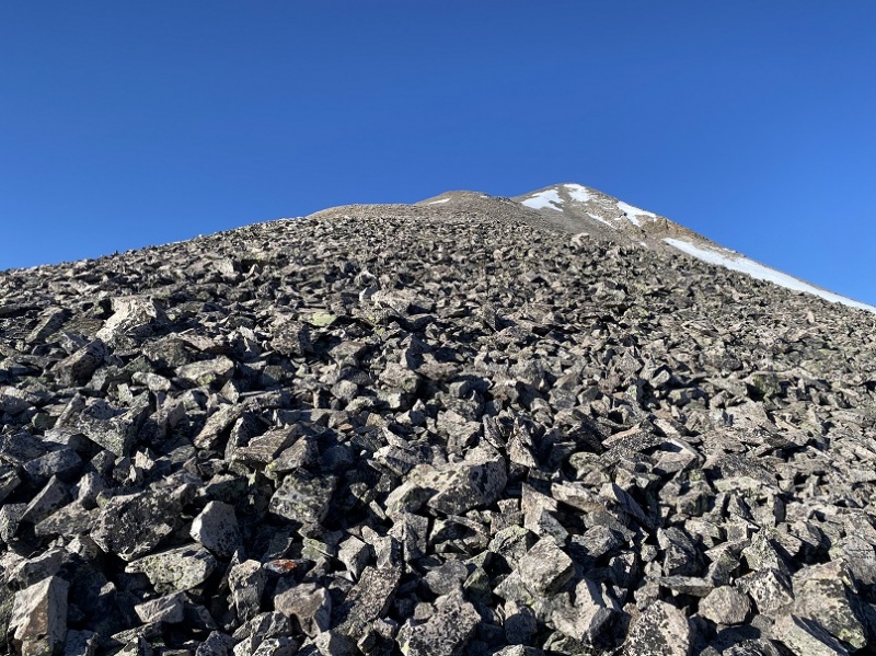 I passed quite a few mines and a small, empty building 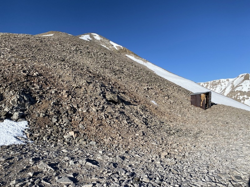 As I continued hiking up the ridge the true summit came into view 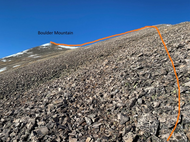 It was a straightforward hike to the summit. I summited at 8:15am. It was a little over 6 miles from where I parked my truck to the summit. This summit gets a selfie because I left my camera at home… 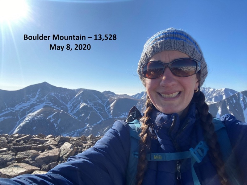 Summit of Boulder Mountain: Here’s the view of the ridge over to Mt Mamma 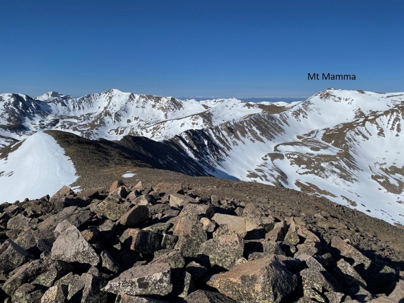 The traverse was straightforward. I stuck to the ridgeline as much as possible to avoid the snow 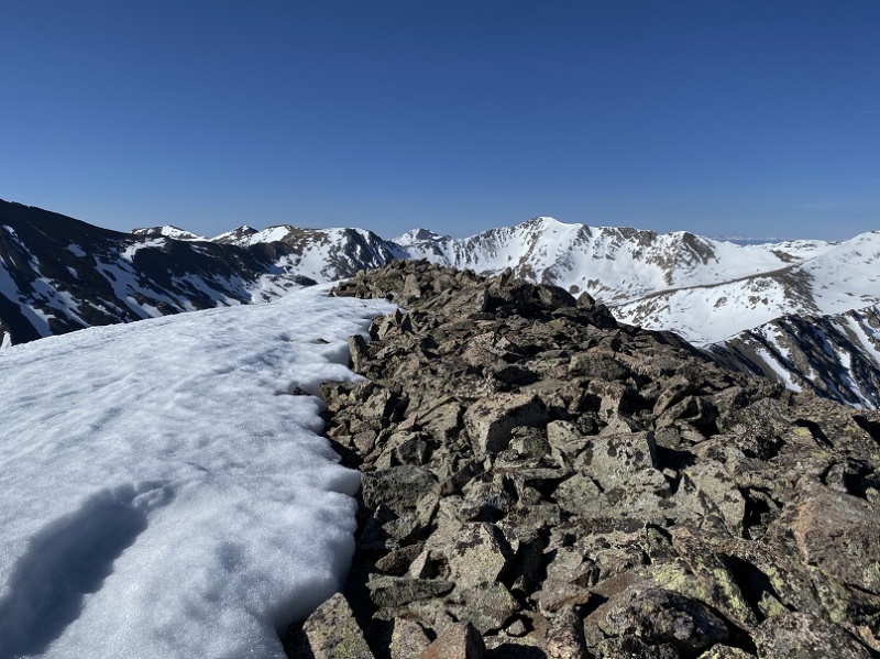 It looked like there was a trail to my right, but when I tried to take it I found it was full of very loose talus. One slip would send me tumbling, so I stuck to the ridge. 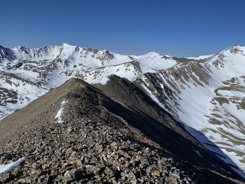 While on the ridge I got a good look at the basin below and Baldwin Lake. Nope, I didn’t want to descend that way, as it looked too similar to the conditions I’d experienced last week on 13,626: The basins looked the same, and last week I found the basin to be impassable due to punchy snow. I didn’t want to get all the way to this basin just to have to turn around because the snow was dangerous and re-summit the ridge. 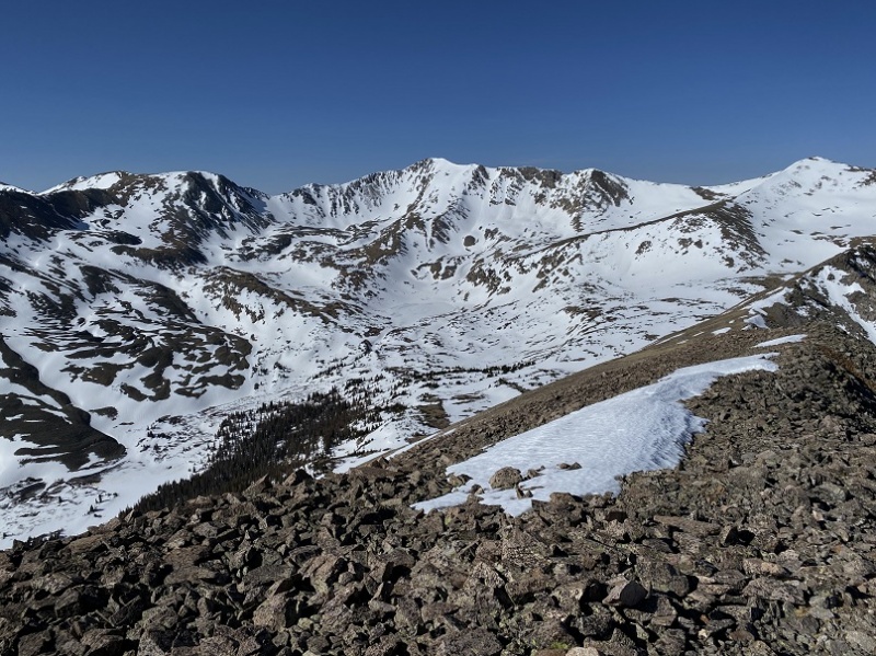 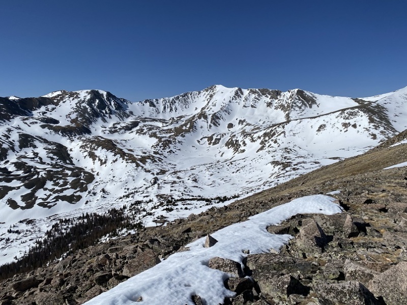 There were a few cornices to contend with on the ridge, but the snow was firm so they weren’t a problem to traverse. Sticking to the ridge is the way to go. 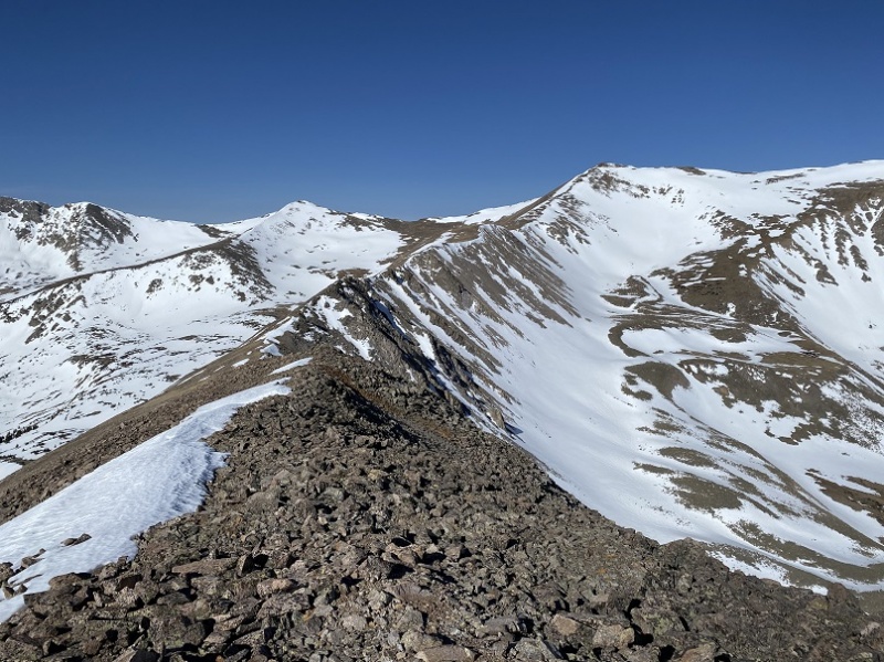 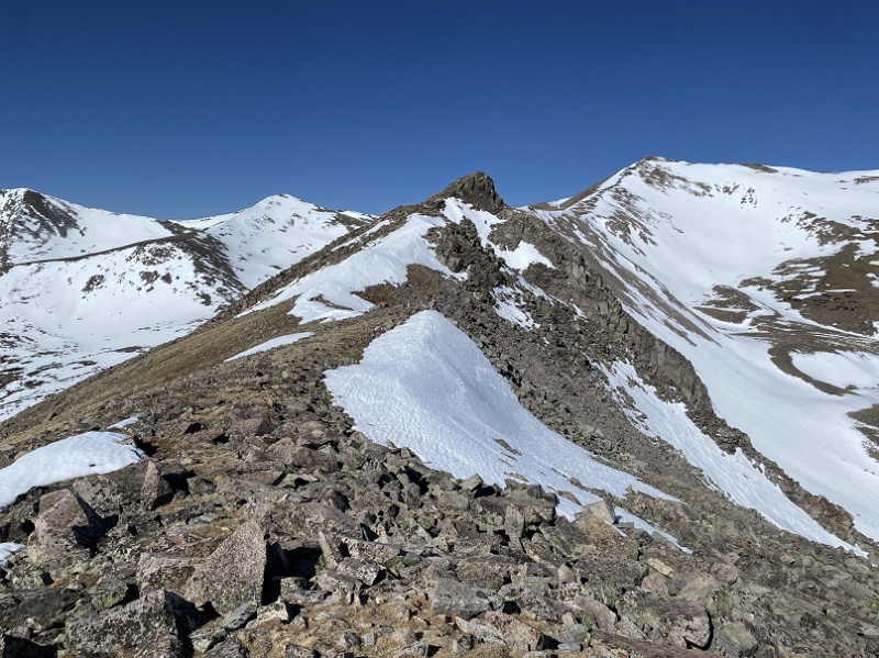 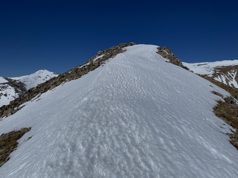 There was a bit of a saddle before the final push to Mt Mamma. I was glad there was a seemingly straight snow free line to the summit. 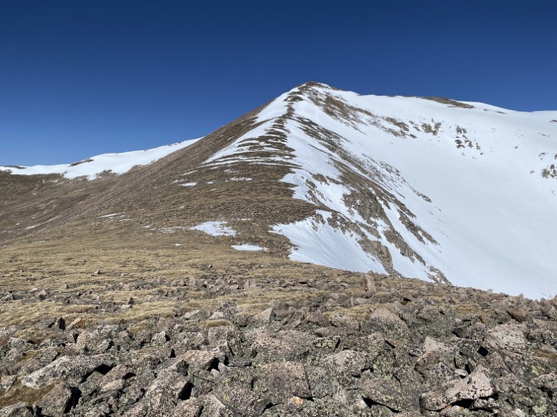 There were a few areas of snow to contend with, but nothing that kept me from hiking straight up 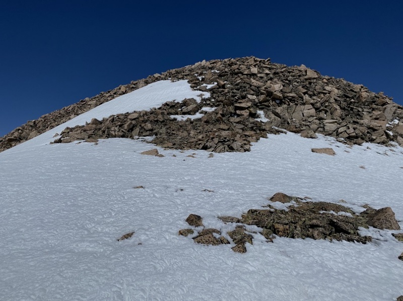 The rocks here were loose and rolled, so watch your step 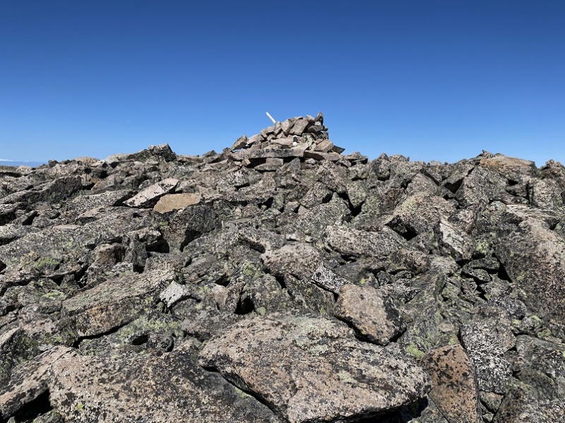 I summited Mt Mamma at 10am, after hiking for 8 miles. It took me about an hour and 45 minutes to complete the 1.8 mile traverse from Boulder to Mamma. Once again, no camera, so I got a selfie with my phone. 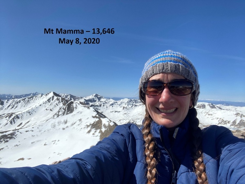 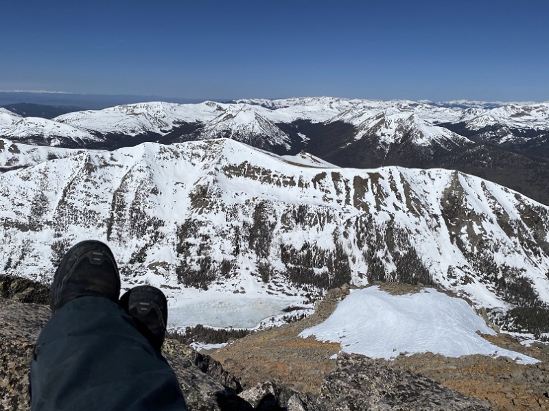 Summit of Mt Mamma: The summit had a register, with the last person to sign being from October 13 of last year. Also, the register needs a new pencil, so if you go up there soon be sure to bring one with you. The day was perfect: no winds and lots of sunshine. This is probably the best weather day I’ve had on a mountain so far this year. I decided to head back over to Boulder Mountain, as I did not want to get stuck in the basin. Here’s a look at some of the mountains visible from Mt Mamma on the route back 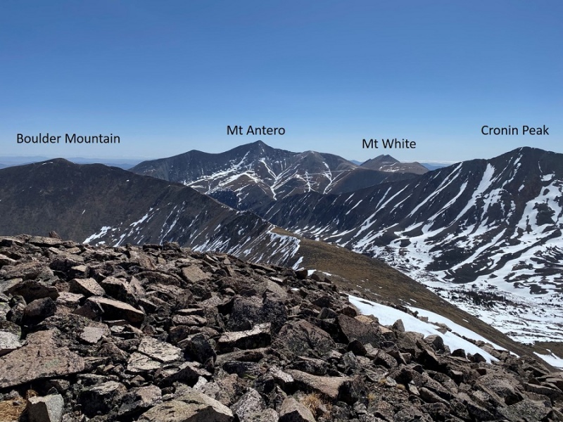 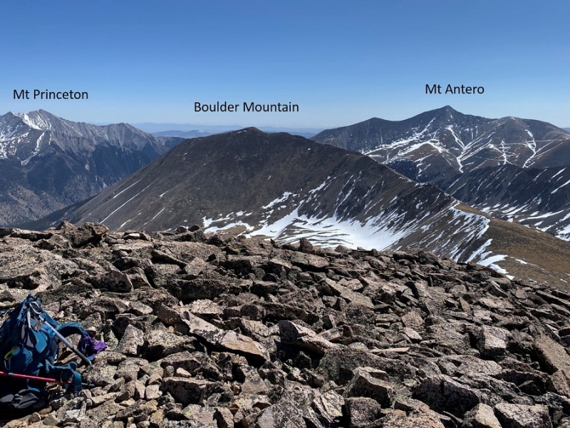 Time to head back towards Boulder Mountain 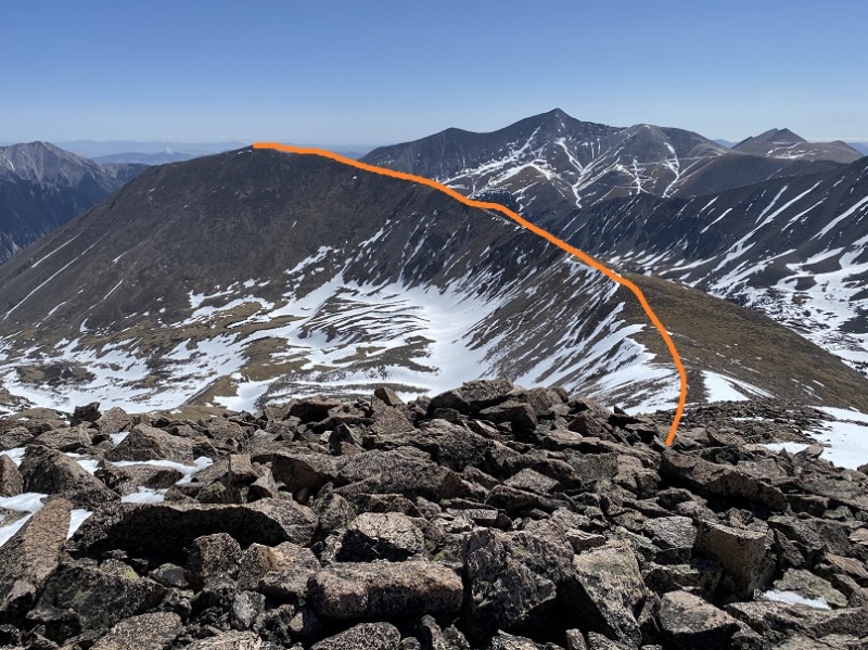 As you’re hiking down from Mt Mamma you can clearly see a trail on the west side of Boulder Mountain. Don’t take it: stick to the ridge. I’m pretty sure the trail is a goat trail, not a human trail. It’s very loose and a fall would send you a long way down the mountainside. I saw mountain goats grazing in Deer Canyon to my left. 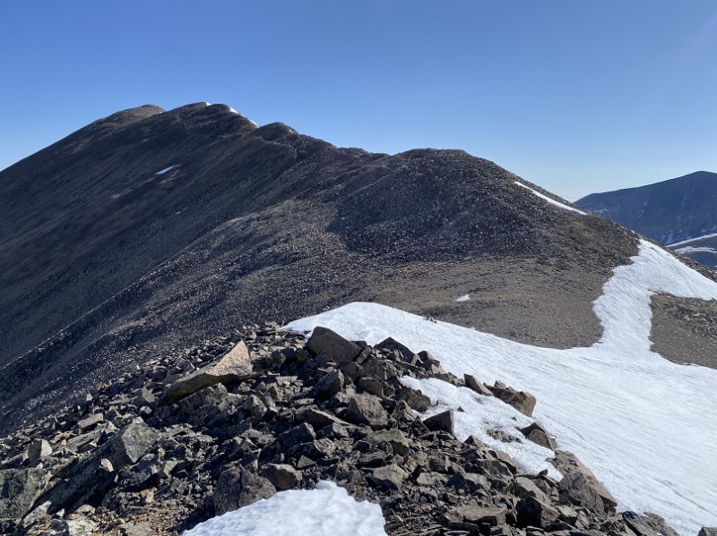 The ridge was still almost completely snow free, but the areas with snow were turning to mush quickly. 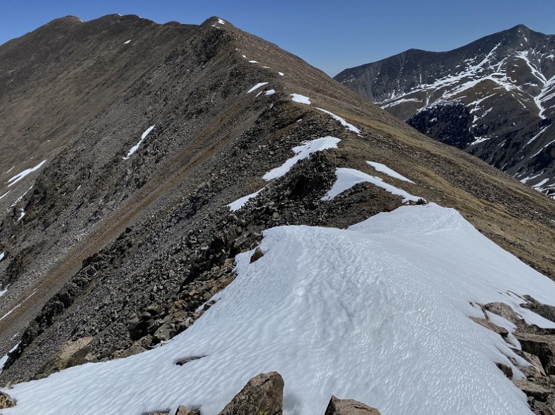 I re-summited Boulder Mountain 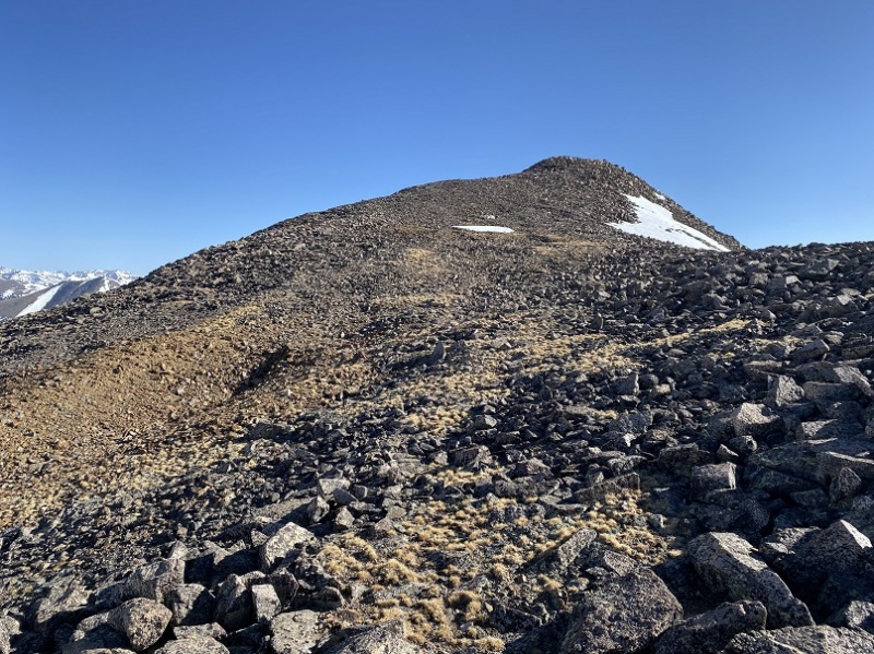 And decided to take the ridge as far as I could back down. 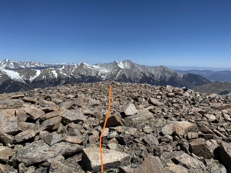 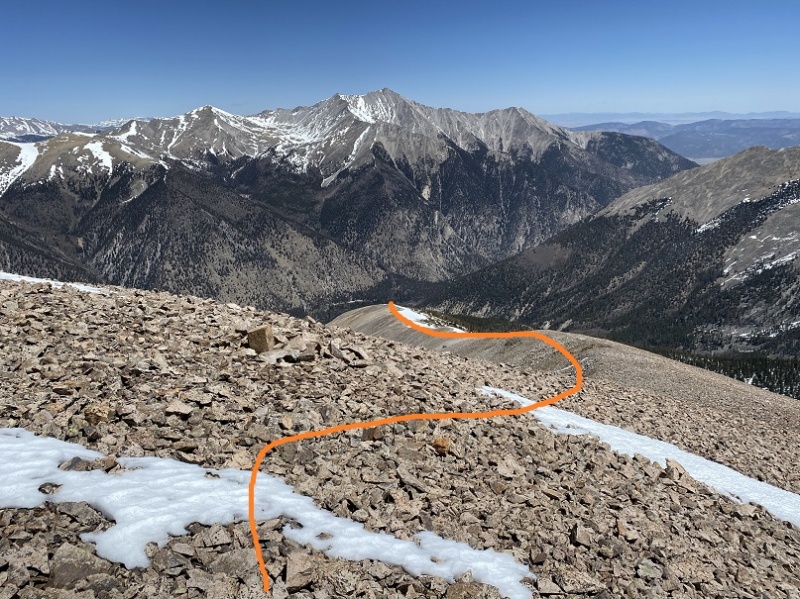 I passed a stone with some numbers engraved on it 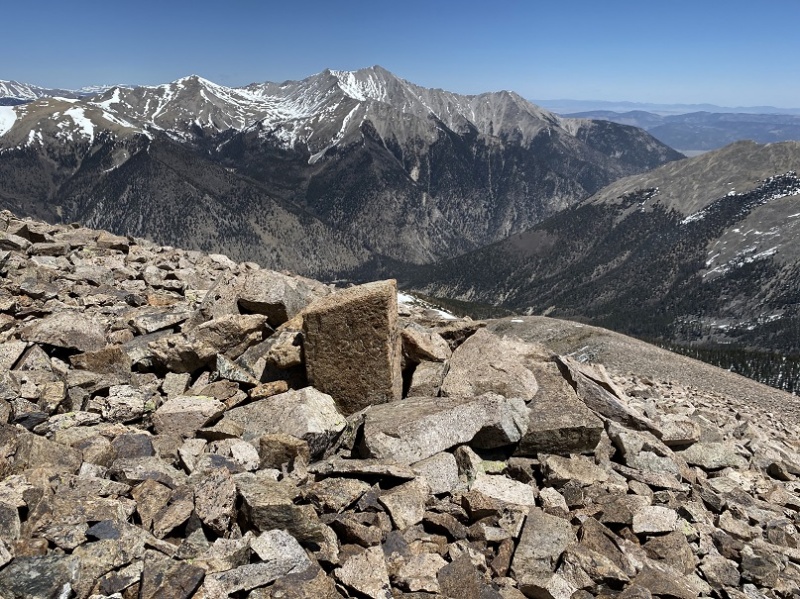 And kept following the ridge, keeping to the left of the snow. From my view last week I knew the ridge would be dry all the way to treeline 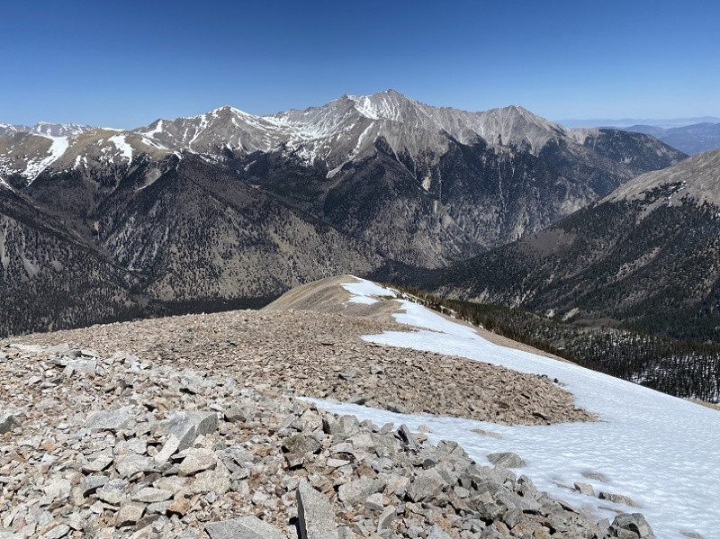 Here’s a look back up at the ridge 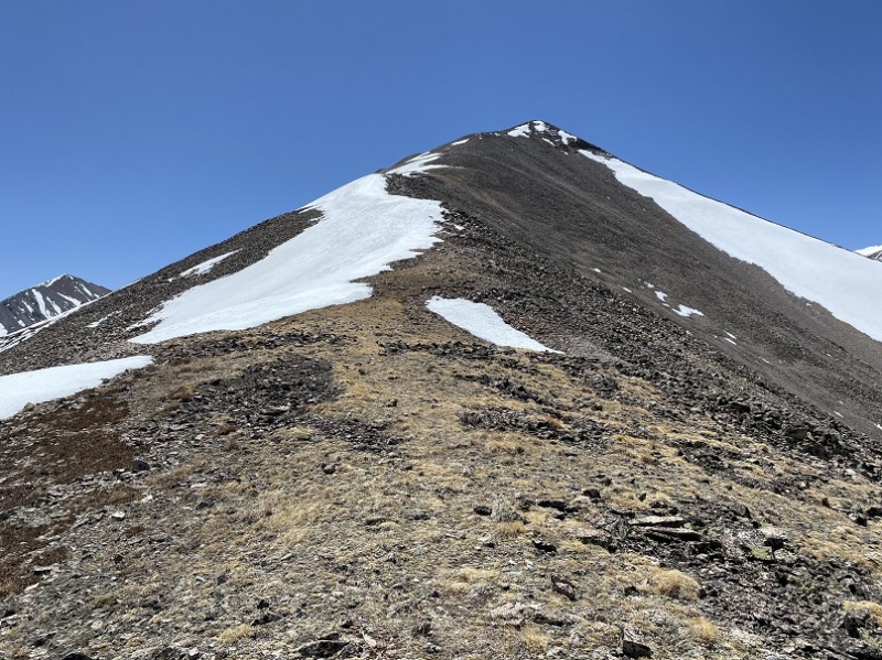 There were cairns here (some not so traditional) so I knew I was on some sort of a trail 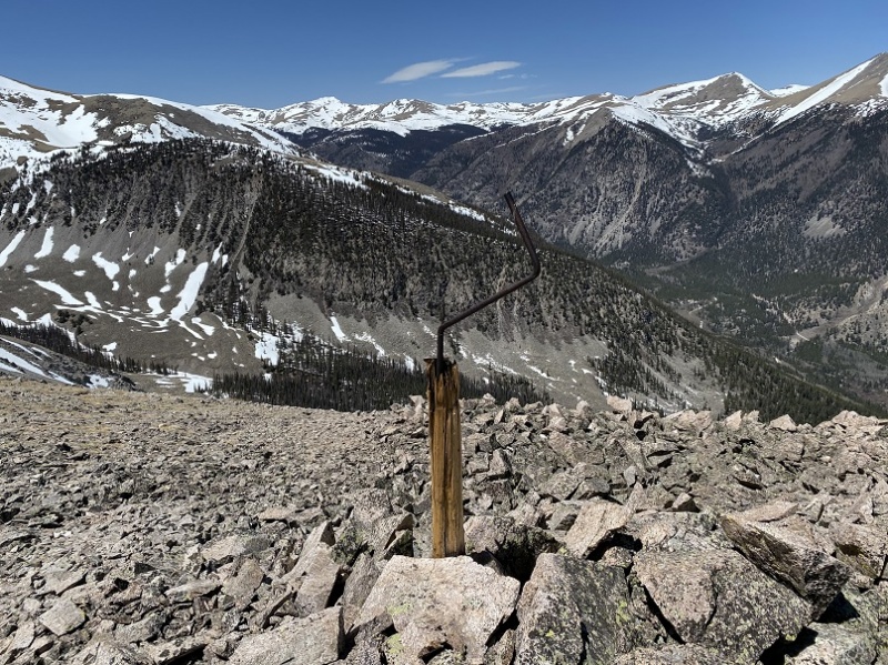 I looked over at the route I’d taken in and knew it had been a good idea not to take it back: I could tell by just looking at the snow it wasn’t stable. The ridge was indeed snow free/snow avoidable until treeline 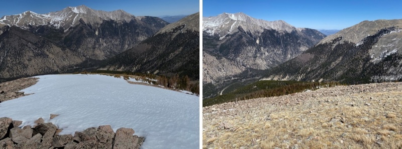 But once I got to treeline I encountered unexpected deep, slushy snow. I knew I couldn’t go back the way I’d come and to be honest, this snow caught me off guard. I could tell I only had a couple hundred feet to deal with, so put on my snowshoes and zig-zagged my way carefully through the snow towards the road I knew would be below. 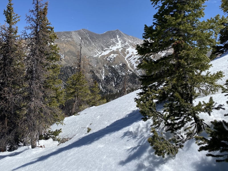 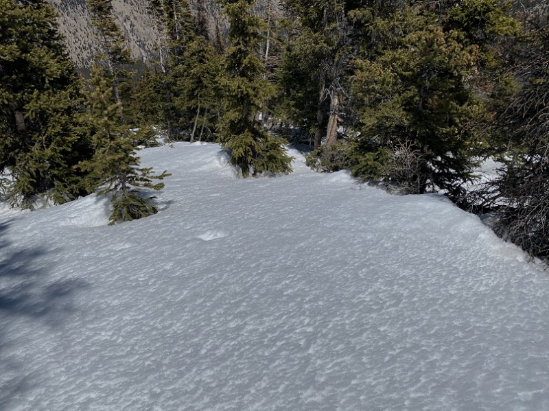 It was touch and go at times, and more than once I asked myself if this really was the safest way, but when I made it back to the road I knew I’d made the right decision. The snow stopped about 200 feet before the road (which is why I’d thought it would be snow free from the ridge to the road; thankfully I only had a couple hundred feet of snow to contend with). 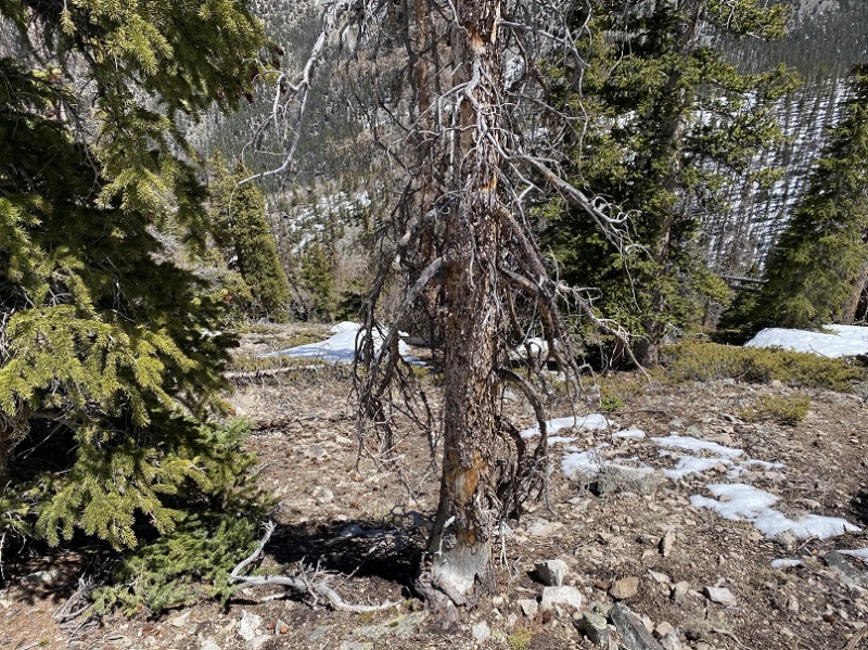 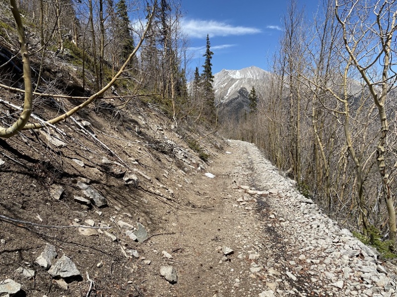 Once on the road I breathed a sign of relief but kept on my snowshoes. I knew there would be just enough snow to need them for a while yet. Every time I encountered snow on the road I postholed. It was indeed a long slog back to the snow-free 277 4WD road. On a positive note, the pine trees smelled amazing! 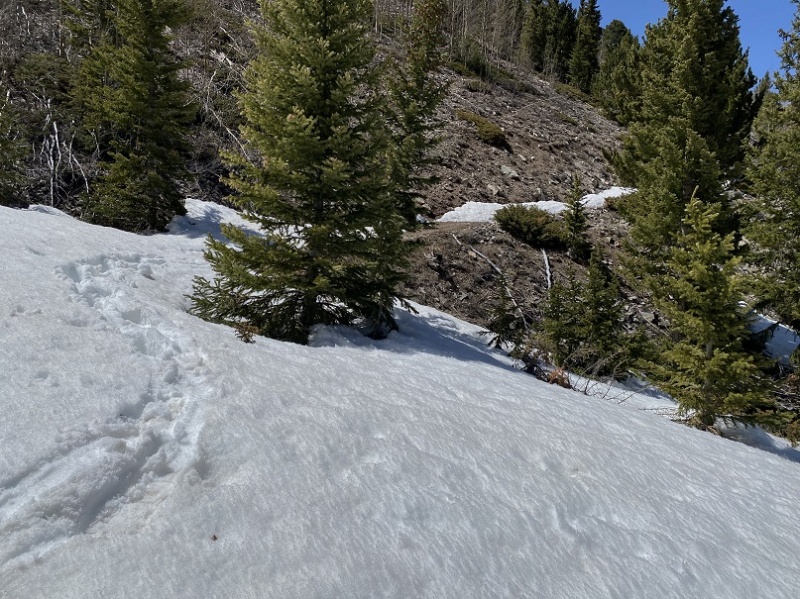 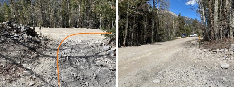 From last week’s trek up 13,626/Mt Princeton here’s a view of Boulder Mountain and my route. My ascent is solid, my decent is dotted. You can clearly see the gully you want to avoid: the road traverses it and should be avoided in snow. 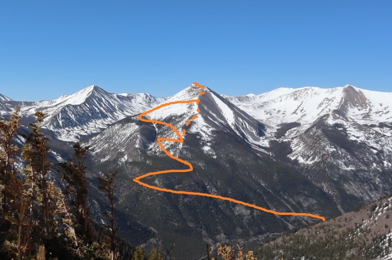 I made it back to my truck at 3:15pm, making this a 15 mile hike with 5607’ of elevation gain in 11 hours, 45 minutes. Here’s my topo 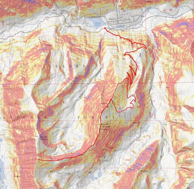 I picked the wrong time of year to do this hike. It’s definitely not a spring hike, and still needs a few weeks to melt out. If I were to do this again I’d take the ridge up from the beginning and only take the road if it were in summer conditions. I’d take the basin by Baldwin Lake in more winter-like conditions. Beware of the gully area if you take the road, as it’s full of snow and looks prone to avalanching. I’m a little upset I didn’t get a picture of it on my way in for a visual, but I’d avoid the area if possible if there’s any snow at all. Thumbnails for uploaded photos (click to open slideshow): 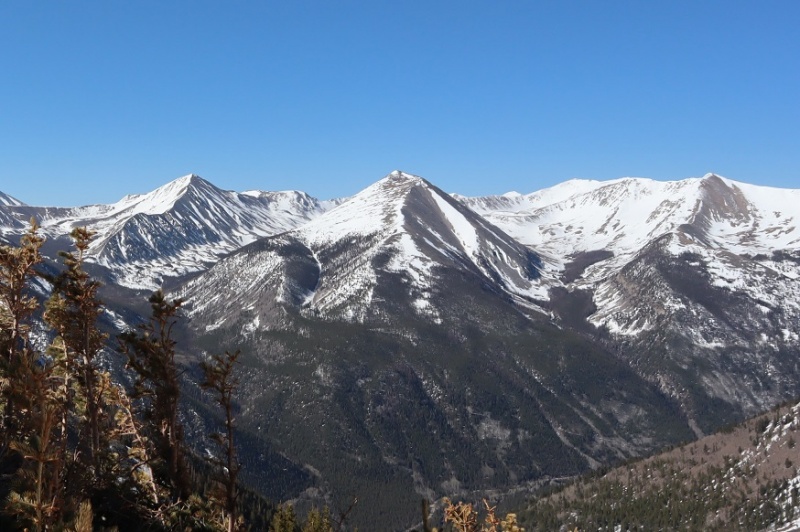
|
| Comments or Questions | ||||||
|---|---|---|---|---|---|---|
|
Caution: The information contained in this report may not be accurate and should not be the only resource used in preparation for your climb. Failure to have the necessary experience, physical conditioning, supplies or equipment can result in injury or death. 14ers.com and the author(s) of this report provide no warranties, either express or implied, that the information provided is accurate or reliable. By using the information provided, you agree to indemnify and hold harmless 14ers.com and the report author(s) with respect to any claims and demands against them, including any attorney fees and expenses. Please read the 14ers.com Safety and Disclaimer pages for more information.
Copyright: Route information, text, risk factors, maps, GPX files, charts, photos, 14ers.com-created map imagery, flythroughs, and other content provided in this route description are copyrighted by 14ers.com and may not be copied, reproduced, republished, distributed, modified, or used to create derivative works without prior written permission.
Please respect private property: 14ers.com supports the rights of private landowners to determine how and by whom their land will be used. In Colorado, it is your responsibility to determine if land is private and to obtain the appropriate permission before entering the property.