Download Agreement, Release, and Acknowledgement of Risk:
You (the person requesting this file download) fully understand mountain climbing ("Activity") involves risks and dangers of serious bodily injury, including permanent disability, paralysis, and death ("Risks") and you fully accept and assume all such risks and all responsibility for losses, costs, and damages you incur as a result of your participation in this Activity.
You acknowledge that information in the file you have chosen to download may not be accurate and may contain errors. You agree to assume all risks when using this information and agree to release and discharge 14ers.com, 14ers Inc. and the author(s) of such information (collectively, the "Released Parties").
You hereby discharge the Released Parties from all damages, actions, claims and liabilities of any nature, specifically including, but not limited to, damages, actions, claims and liabilities arising from or related to the negligence of the Released Parties. You further agree to indemnify, hold harmless and defend 14ers.com, 14ers Inc. and each of the other Released Parties from and against any loss, damage, liability and expense, including costs and attorney fees, incurred by 14ers.com, 14ers Inc. or any of the other Released Parties as a result of you using information provided on the 14ers.com or 14ers Inc. websites.
You have read this agreement, fully understand its terms and intend it to be a complete and unconditional release of all liability to the greatest extent allowed by law and agree that if any portion of this agreement is held to be invalid the balance, notwithstanding, shall continue in full force and effect.
By clicking "OK" you agree to these terms. If you DO NOT agree, click "Cancel"...
I had a pretty fortunate winter in 2020, every peak I set out to summit, I was able to. Only a few tough weather climbs, and far less snow than winter 2019. After a crazy long night/day on the Crestones the previous weekend, decided I'd do something a bit on the easy side, at least by winter standards. I wouldn't know it at the time, but this was also about a week or so before most of the world/country/state would go into Covid-19 lockdown. The mountain communities in particular would see even tighter controls.
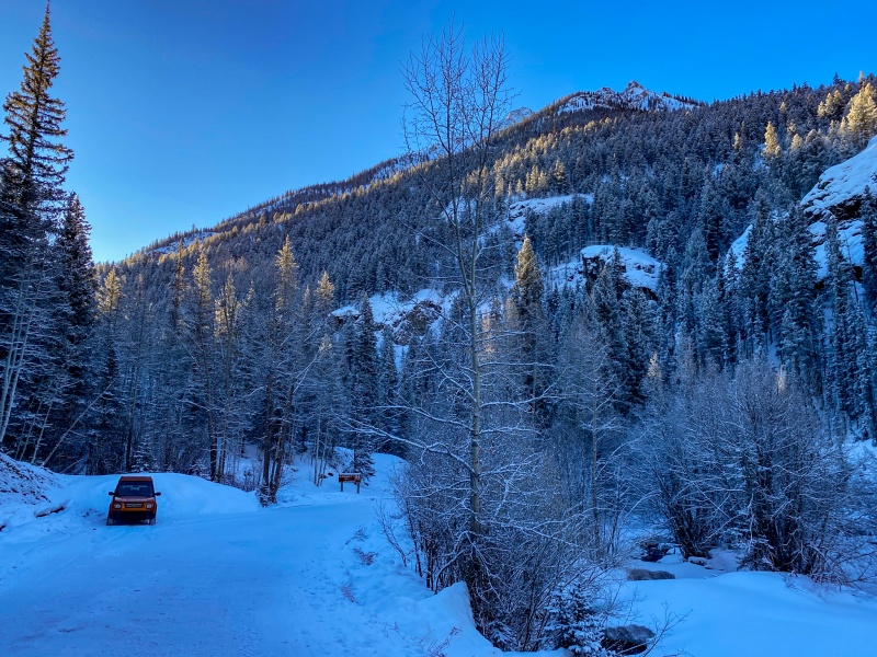
I drove to Gunnison on March 13 to stay the night, I had a boatload of Holiday Inn points, so the room was free. The Holiday Inn Express in Gunnison is a huge hotel, but there were maybe 6-8 cars at the hotel, people had already been backing off of travel for fear of the Covid-19 situation. We were past daylight savings, days were getting pretty long, and Holiday Inn wasn't going to put out their delicious cinnamon rolls until 6:30 am, so I slept in until 6am. On the road around 7 am to Lake City, I was hiking just before 8:30 am.
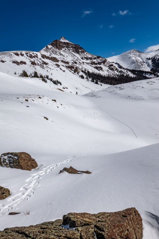
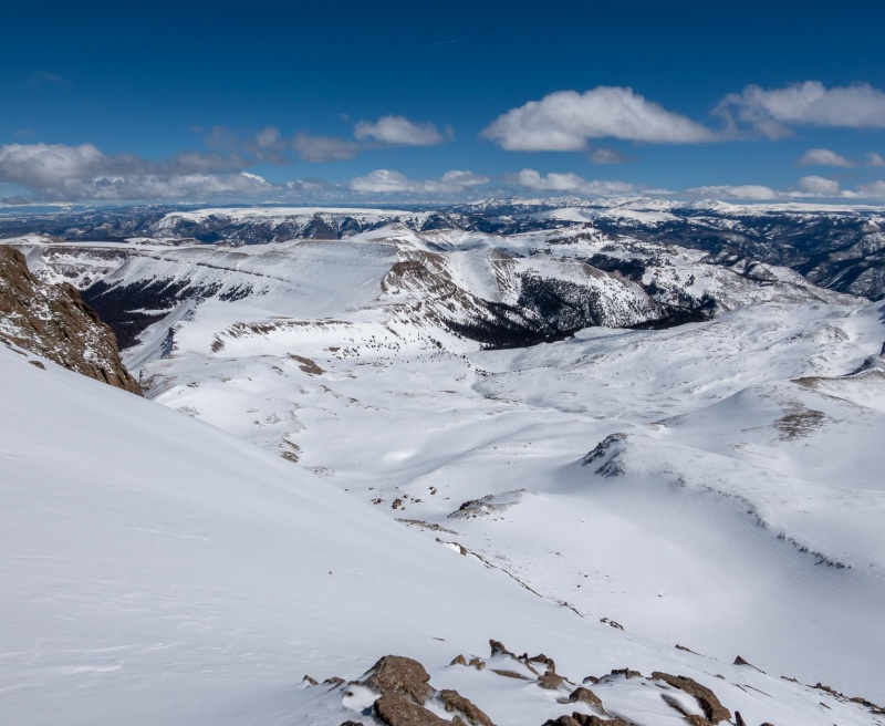
Nobody else around, I think I've had this spot each of my 4 ascents of Uncompahgre.
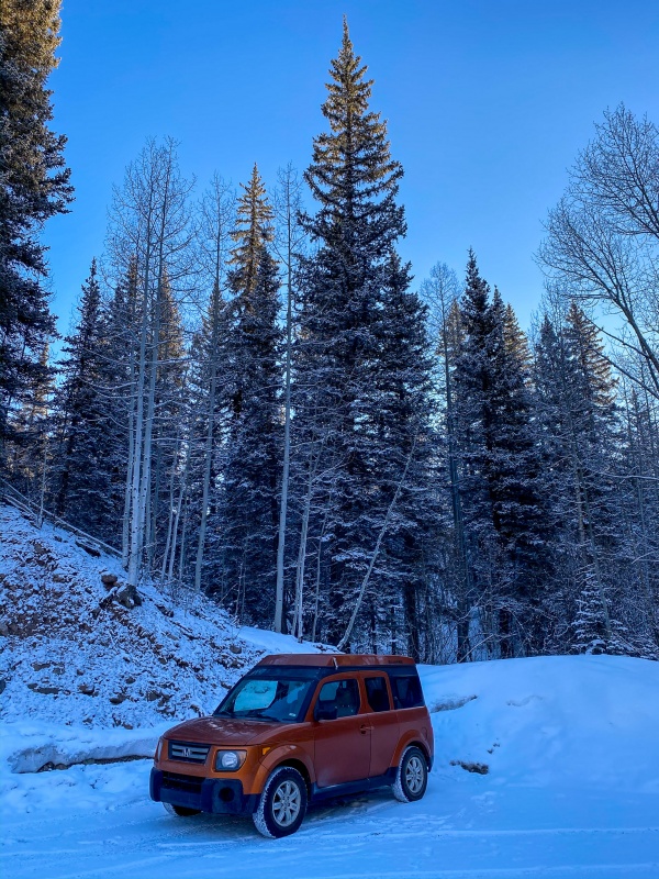
Another gratuitous toaster shot, free of charge.
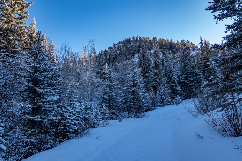
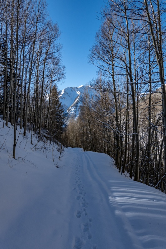
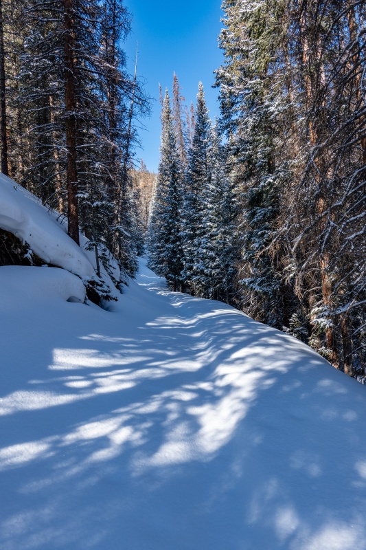
There had been some new snowfall a day or 2 prior, but I was able to make out tracks up Nellie Creek Rd. As long as I stayed on them, everything was good. when I went slightly off track, instant posthole.
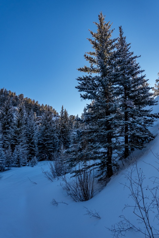
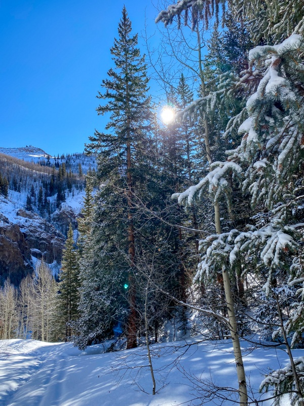
Trees had nice coat of fresh snow.
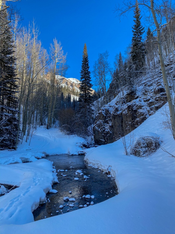
One of the creek crossings
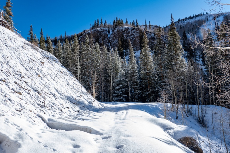
As I continued on, the track became more faint, and I occasionally struggled to find the previous trench and would get a nice posthole prize.
Around the 3 mile mark, I put snowshoes on. The trench was pretty much gone at this point.
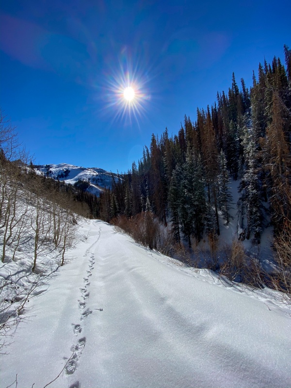
Made pretty good time up Nellie Creek Road, I was at the 4wd trailhead in about 2.5 hours.
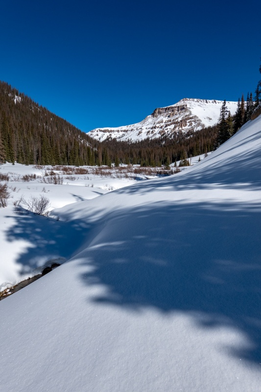
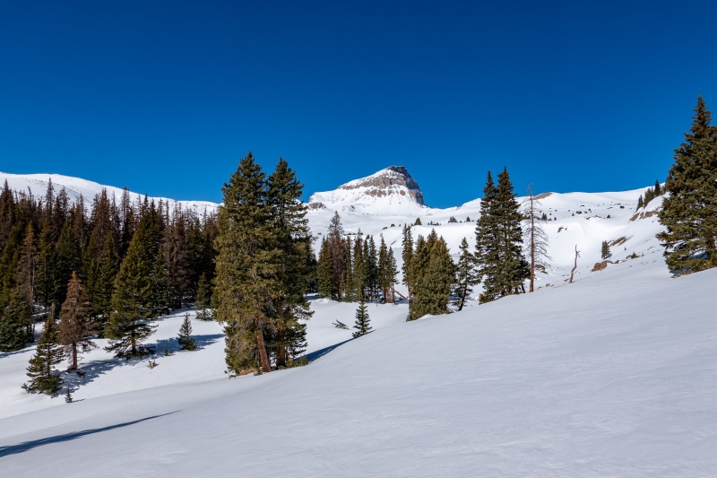
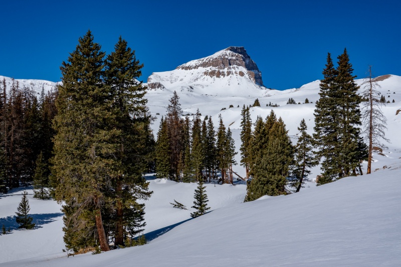
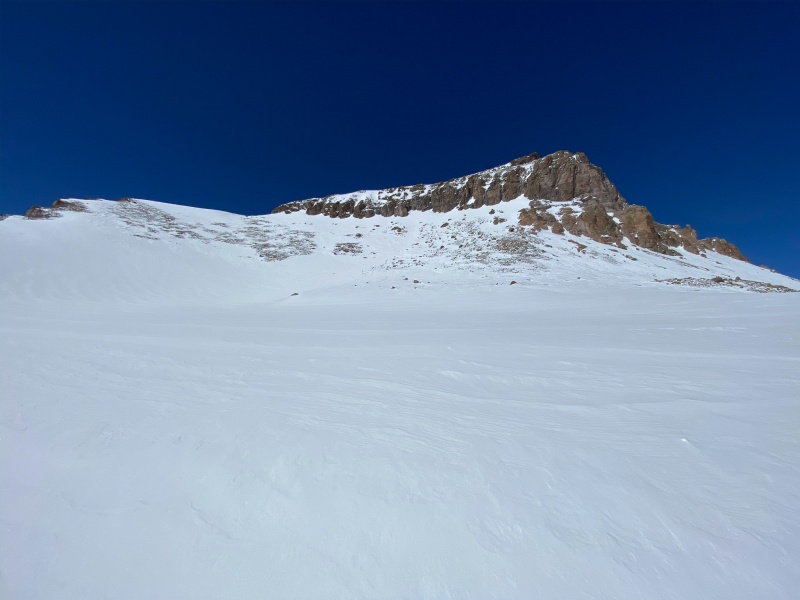
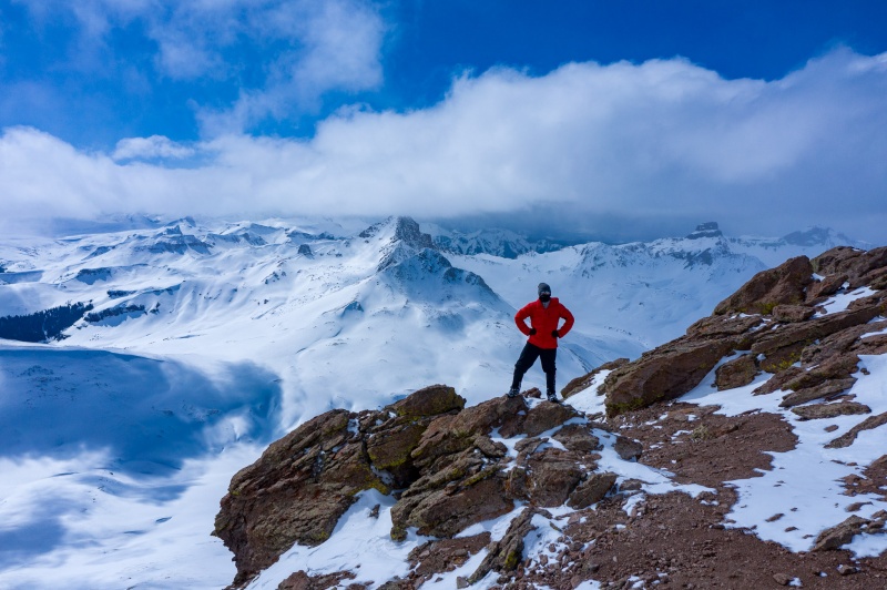
After passing the 4wd trailhead, I stayed in the trees as far as I could thinking the snow would be more stable. Didn't pay much attention to the actual route, I have this one pretty much in my head. After reaching the end of the thicker forest area, Uncompahgre is finally in view.
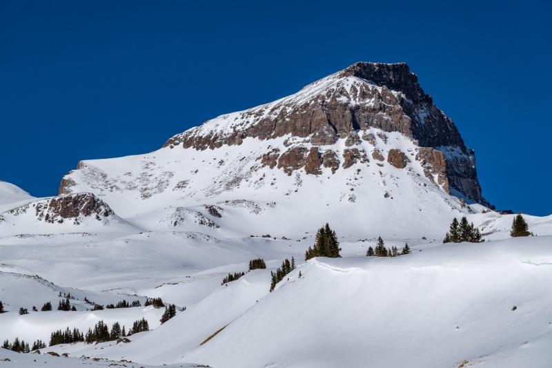
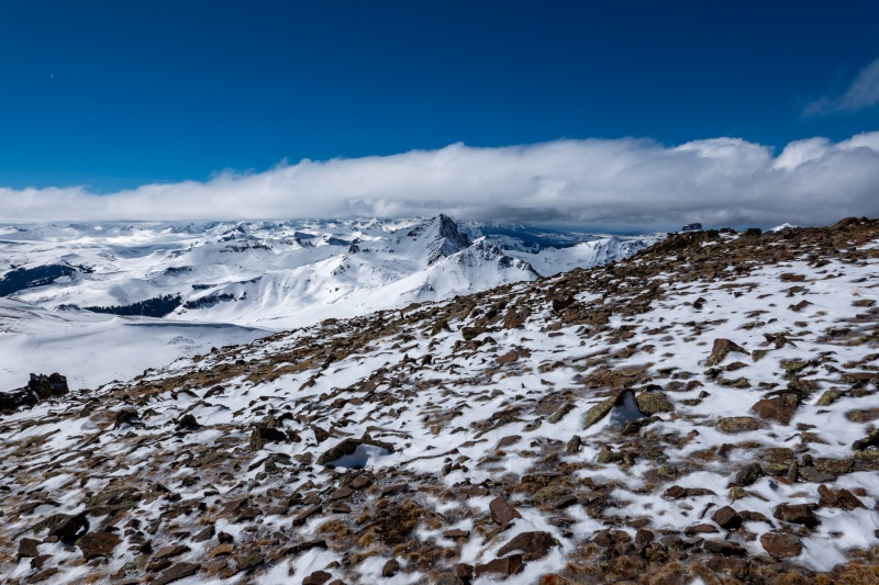
Uncompahgre finally shows herself. I love that mountain.
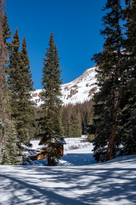
From this point I make my way into the creek and follow it until it ends. The snow was pretty nice, not terribly deep.
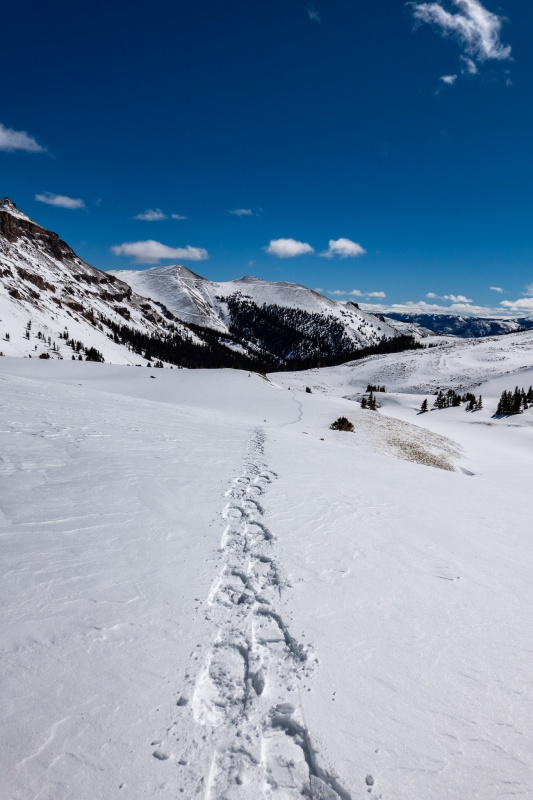
Looking back on my nice, orderly tracks.
Camera's optical zoom has just enough capacity for nice closeup.
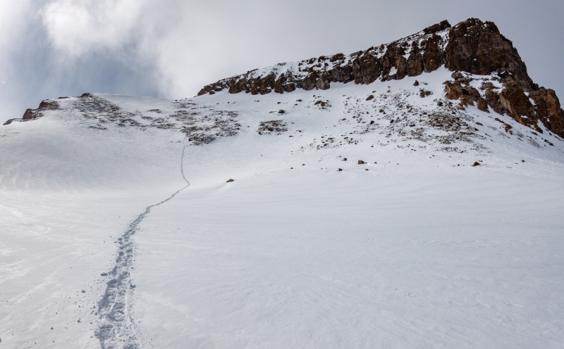
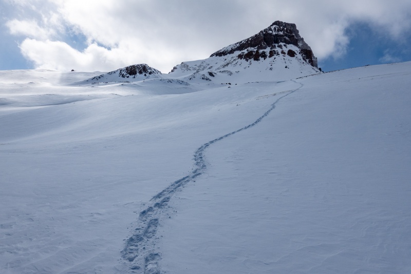
I continued on in a mostly straight line towards my objective, until nearing the base of the peak where you zig left. I wasn't anywhere close to the summer trail, but I knew how to get where I needed to be.
When I neared the base of the peak, I just went straight up. The summer route does a little zig zag.
From the return, showing the line I took. At the base of the rocky area I left my snowshoes and went straight up in same direction.
Making my way up the rocky section.
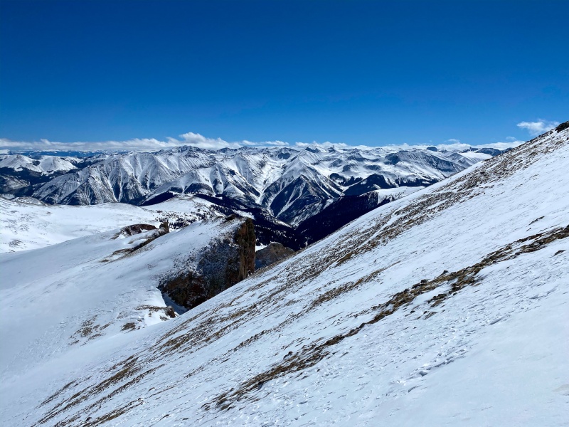
After ditching my snowshoes I went straight to the point where its necessary to go to the backside of the mountain. Rather than follow the summer route (which had some steep snow on it) I turned immediately right, there's a class 3ish section I climbed that allowed me to be lazy and not put crampons on. I should have taken a picture or 2. From this point to summit the route was mostly snow free, save for one short deep section.
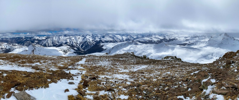
Nearing the summit. This would be my best shot of Wetterhorn, clouds moved in just as I reached the top.
Summit. Clouds were obscuring most of my views, made me wish I'd skipped the cinnamon rolls and started earlier.
At the peak clouds had moved in and killed most of the views. Waited them out for an hour or so, but didn't clear up.
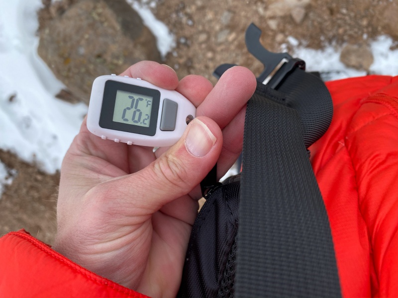
Summit temp.
Route back down was pretty straightforward, my tracks were pretty much intact, just needed to follow them. The warm weather really softened up my return, Nellie Creek Rd. was miserable a posthole party, and I was the guest of honor. Ugh.
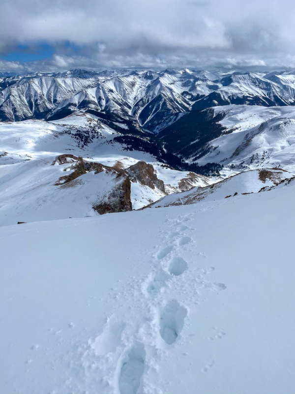
Favorite shot of the day, on my return.
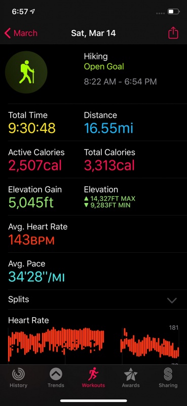
Apple stats.
Garmin stats. No idea why Garmin "time moving" stat is so far off.
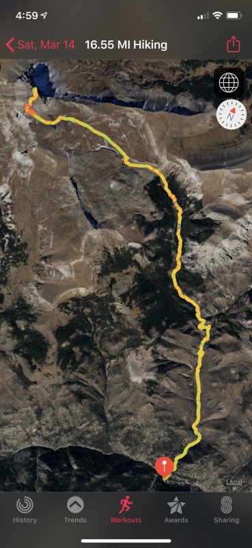
GPS track.
Thanks for reading.
Thumbnails for uploaded photos (click to open slideshow):
My one and only trip to Uncompahgre was solo in winter a couple years ago. Nobody had been back there and I had to break trail the entire way but didn't mind one bit. That first glimpse of the broad summit is really spectacular and I loved having it all to myself. #9 brings back those feels.
Aren't snowshoe tracks a thing of beauty? Your favorite shot is killer.
I believe the inReach calculates "moving time" based on either an accelerometer or your compass heading. If those things don't change it doesn't count you as moving, so it won't count if you're sitting around, standing still, yada yada. Now, a difference of four hours seems impossible as I highly doubt you weren't moving anywhere close to that long but I also have an inReach (Explorer+, so a little newer) and find the "moving time" statistic pretty much useless. I wouldn't rely on it at all if I were you.
Another nice report Will, and a great winter for you!
Congrats on a successful climb and a well-crafted trip report.
Caution: The information contained in this report may not be accurate and should not be the only resource used in preparation for your climb. Failure to have the necessary experience, physical conditioning, supplies or equipment can result in injury or death. 14ers.com and the author(s) of this report provide no warranties, either express or implied, that the information provided is accurate or reliable. By using the information provided, you agree to indemnify and hold harmless 14ers.com and the report author(s) with respect to any claims and demands against them, including any attorney fees and expenses. Please read the 14ers.com Safety and Disclaimer pages for more information.
Please respect private property: 14ers.com supports the rights of private landowners to determine how and by whom their land will be used. In Colorado, it is your responsibility to determine if land is private and to obtain the appropriate permission before entering the property.

")
")
")
")
")
")
")
")
")
")
")
")
")
")
")
")
")
")
")
")
")
")
")
")
")
")
")
")
")
")
")
")
")
")
")
")
")
")


