|
West Dyer Mountain (13,047')
3/7/2020
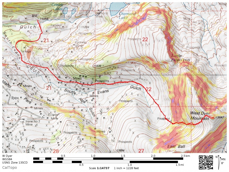
West Slopes from Mosquito Pass TH (11,034' on Park County 3)
6.3 miles, 2,070' roundtrip (CalTopo)
Partner: Becca (rebeccasimeone)
This was a last second Plan B. The plan was to go for Mt. Evans B from this trailhead, but driving up from Leadville it was clear that there wouldn't be much skinning or snowboarding up high. The night before when planning I half heartedly looked at this route up to West Dyer just in case Evans B looked bad. The white-plastered face looker's right of Evans B on the drive to the trailhead ended up being West Dyer and we figured we'd give it a go.
Plan A was to skin up the groomed snowmobile/cross country ski trail toward Mosquito Pass before hanging a right down the Mosquito Range crest to Evans B per ChicagoTransplant's TR. In researching this route I found there is a whole network of groomed trails back here that seems to be quite popular with the Leadville locals. I recalled one of the groomed roads wound around a ridge and weaved its way into the basins north of the Ball Mountains, which we could use to access the basin west of West Dyer. We skinned this very flat road (Lake County 3B, although maps show three different road segments 3B...) to an intersection near where South Evans Gulch and Alps Gulch converge.
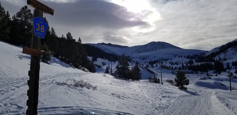
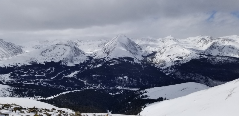
East Ball Mountain on right, West Dyer is the lower bump on the left; the darker taller mountain is Dyer.
Here we left the groomed road and followed a skin track contouring into South Evans Gulch on the north side of the creek.
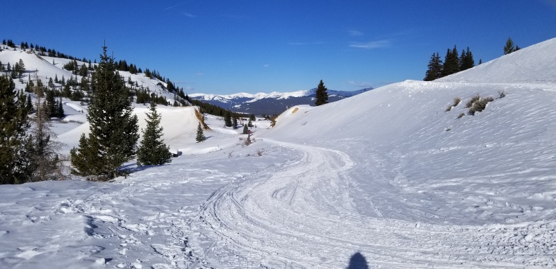
Looking back down the ascent road from where I took the previous picture
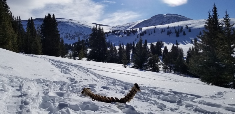
West Dyer (L), East Ball (R)
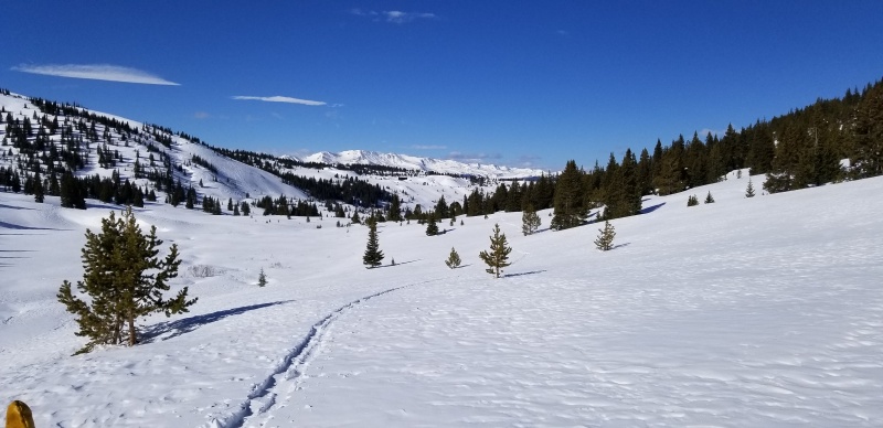
Turning into the basin, it was evident this area is chock full of great ski touring terrain.
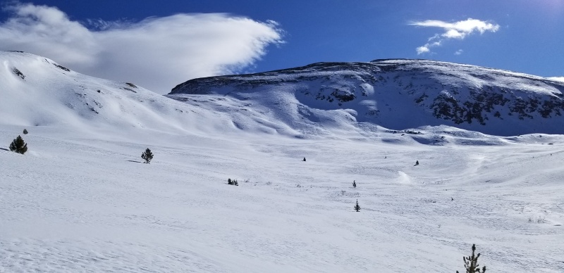
Little Ellen Hill (L), West Dyer (R)
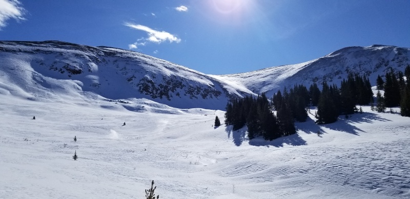
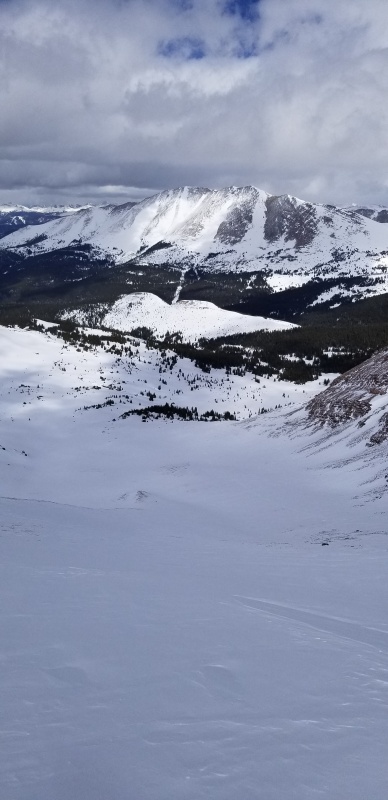
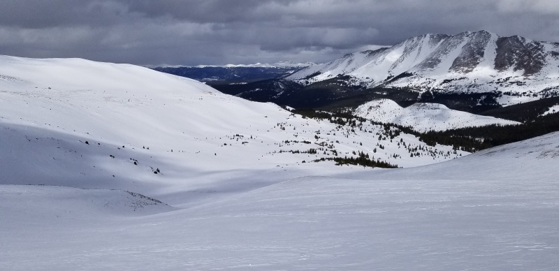
Looking at much of our route up the basin and onto the long broad west to southwest facing slope profiled center
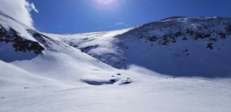
A closer look at the tricky part of the ascent. We contoured around the boulders (center) and onto the ramp climber's left of the gully splitting East Ball and West Dyer
Breaking trail into the basin was fun and not too difficult. I couldn't stop drooling at all the cool ski terrain in here. Most notably, a short but sick looking North facing couloir dropping off just to the west of East Ball's summit. And the perfect looking NE face just west of that couloir that appeared to offer perfect lappable 500' runs.
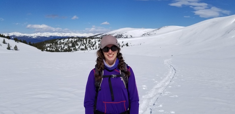
That smile
A lower angle west facing gully splits West Dyer and East Ball. It didn't have a lot of snow but looked like a terrain trap regardless. We aimed to gain the west facing slopes of West Dyer by cutting up and onto a shoulder forming the northern boundary of the gully. Once established on top of the little shoulder, a few annoying switchbacks on crusty garbage yielded to wide open, easy skinning all the way to the summit
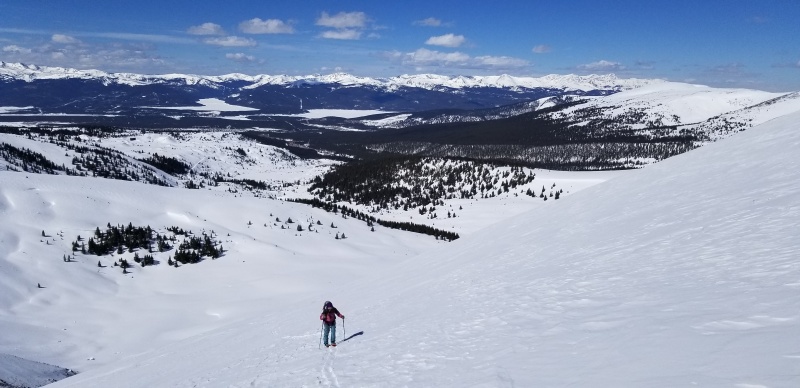
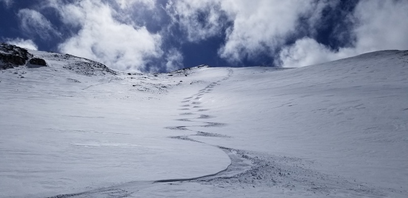
Becca high on the face of West Dyer with the northern Sawatch in the distance
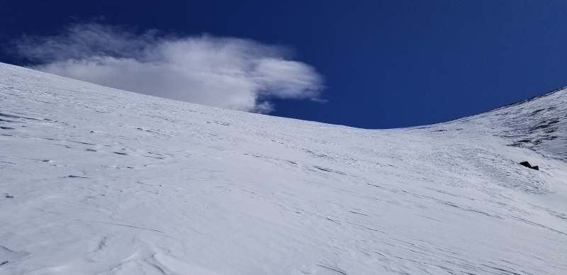
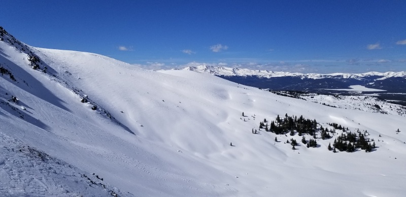
The perfectly lappable slope. Maybe I'll be back.
The summit was gorgeous, but a little windy. We transitioned, snapped pictures and chilled until our fingers told us to get blood flowing back into them.

Summit views looking at the gnarly West Ridge of Dyer. This made my stomach turn just thinking about it!
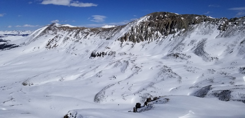
Plan A - Evans B. Plan B was A-OK ;) I should get a life
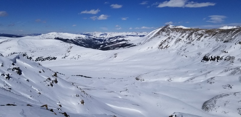
:)
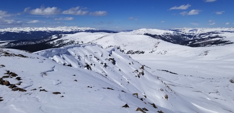
Other summit takeaways: 1. must come back to ski Hoodoo Bowl 2. Prospect Mountain needs to be shredded
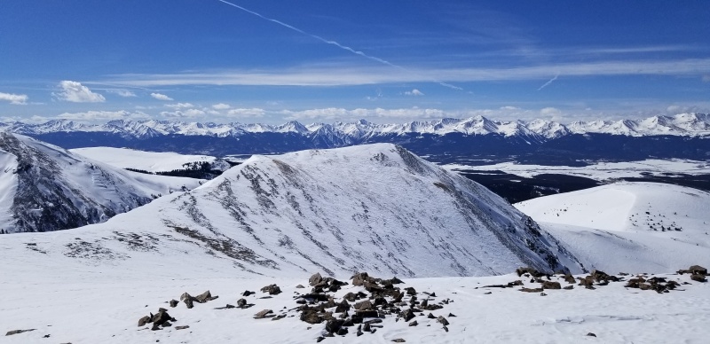
East Ball and Sawatch. East Ball was never on my radar (still no check boxes for 12ers, the only reason I hike) but now it is.
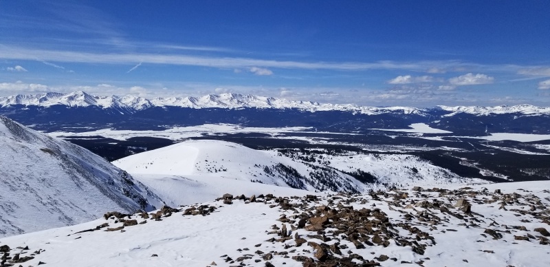
Lil' Ball, or Ball Mountain. How many times can I say Ball in one trip report?
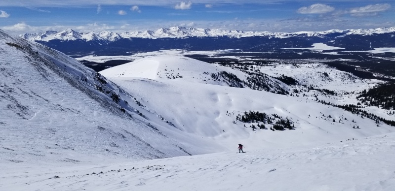
The snow wasn't great. It wasn't bad. It was snowboarding off a mountain, with these views, so one isn't really in a position to complain.
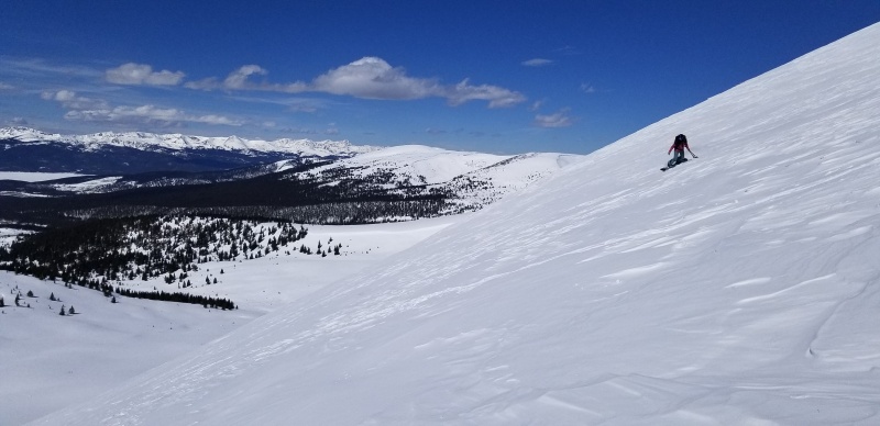
One day my action pictures will be level with the horizon without editing. Not today.
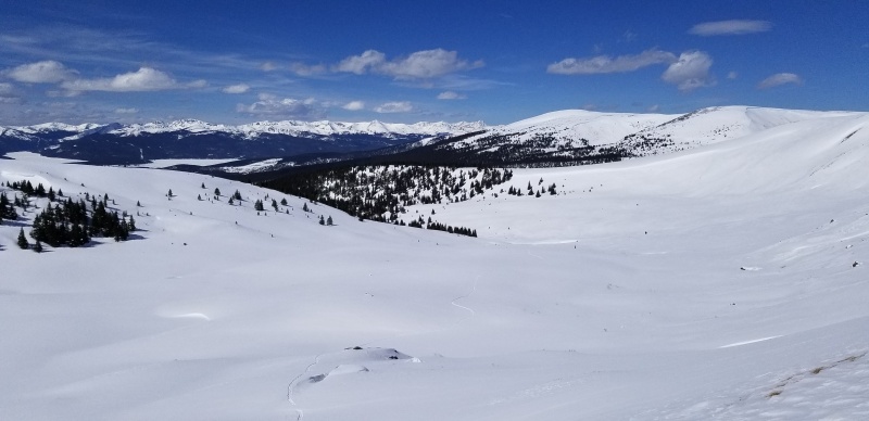
Looking at the long flat ride out South Evans Gulch
We basically retraced our steps down the skin track. There were finally some good powder turns down lower before we had to point the sticks to keep our speed.
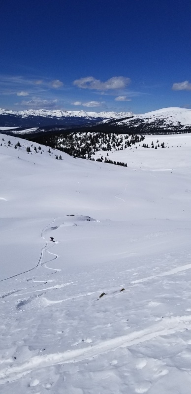
Becca getting in a handful of solid pow turns
The ride out wasn't too difficult as it was pretty easy to keep our speed in the skin track and the snow hadn't heated up too much. We were even able to make a few lower angle turns in a couple sections. Once back on the main skin track and groomed road, the snow was still fast but the pitch required a lot of poling. However, we didn't have to unclip until the last couple hundred yards back to the car. And from the time we left the groomed trail until we returned to it, we didn't see another soul.
This was a great, mellow tour with easy access and a straightforward route on the lower end of the consequence spectrum. If you have any more information on the route, or are aware of any access/trespassing issues I'm not aware of, I can update and/or remove this if needed.
Hoosier Ridge (13,352')
3/14/2020
NE Slopes via Pennsylvania Creek TH (10,330')
9.5 miles, 3,050'
Solo
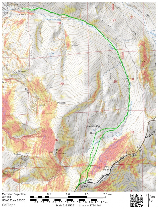
I've only heard horror stories about how flat Pennsylvania Creek can get. But I wanted something stupidly safe and out of the way of other people, and still needed to tag Hoosier and Red Peak A. I had a killer day shredding lift served terrain the day before, and considering it was a Saturday, powder day, during spring break, I was content to settle for potentially skinning both ways up and down Penn Creek if I needed to.
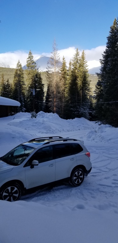
I was the first car in the plowed parking area that morning and had 2-3" of fresh snow to greet me. Following the shortcut through the woods that bypasses the long switchback on road, I began breaking through the fluffy snow until reaching the road.
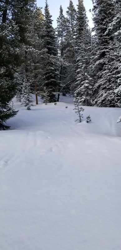
Continuing up the road, the views opened up around the creek crossing to gain the North Ridge and north glades of Red Mountain.
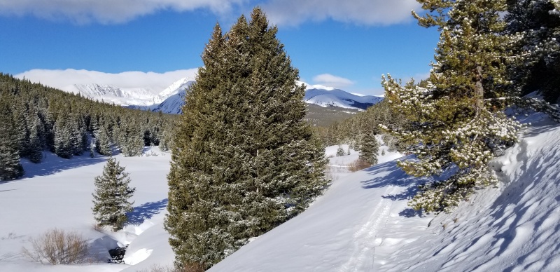
A discernible skin track under the fresh snow petered out around 10,900 where a trail/road switchbacks uphill in a northerly direction away from Penn Creek. There are a few large log "X"es here poking out of the snow. At this point I started breaking trail up the ridiculously flat/undulating creek bed, trying to keep as continuously flat-to-slightly-uphill grade as was possible. I was really dreading coming down this on a snowboard.
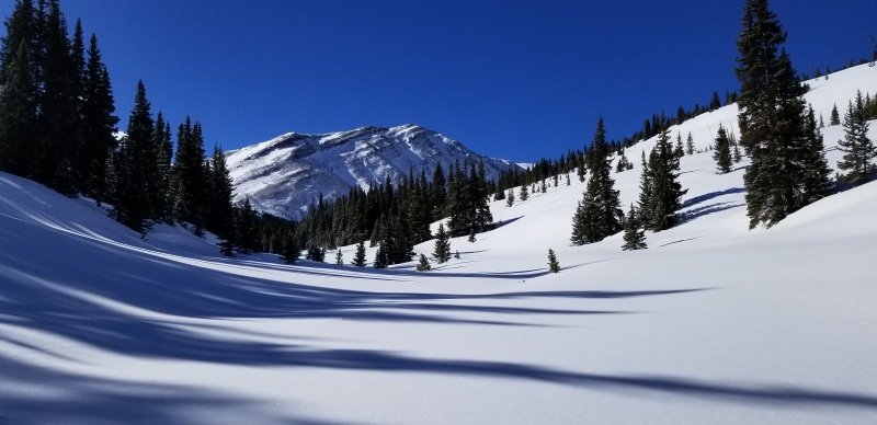
Red Peak A
But when you have perfect weather, a couple inches of freshies and these views, it doesn't leave much time to stress about riding out your skin track.
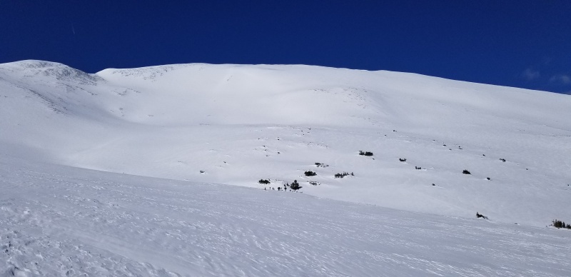
Red Mountain C. Get you some.
Working my way up into the stupidly flat, but super snow covered Horseshoe Basin, I crossed below a small gully flanked by a cluster of trees and then started the gradual climb up Hoosier's NE slopes.
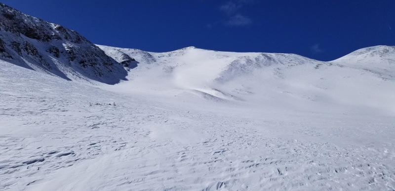
Ski objective. The point in the middle is a falsie about 100' below the true summit. I climbed the slope lookers left of the gully, and boarded the slope lookers right of the gully.
A small gully forms just below and NE of the Hoosier Ridge summit ridge. The slope to climbers left of the gully offered pretty reasonable passage on skins until about 12,600'. I slapped the skis on the pack and booted the rest of the way to the summit. Solid snow ran out around 12,800' which led to rock hopping on snow and ice covered talus and scree.
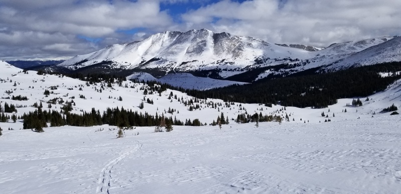
Bald Mountain A
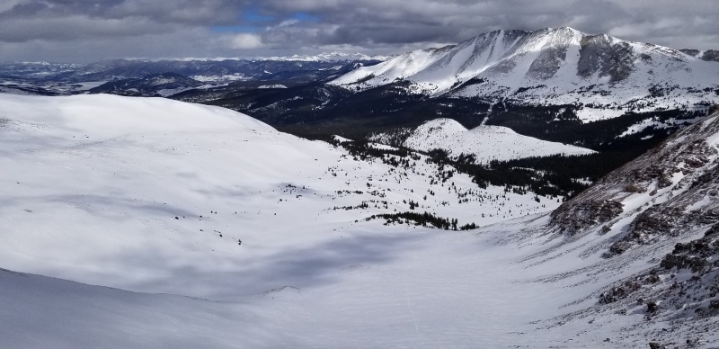
There was plenty of ridable snow on the summit ridge, but nothing connecting to the main ski line below, so I didn't consider attempting a summit ski.
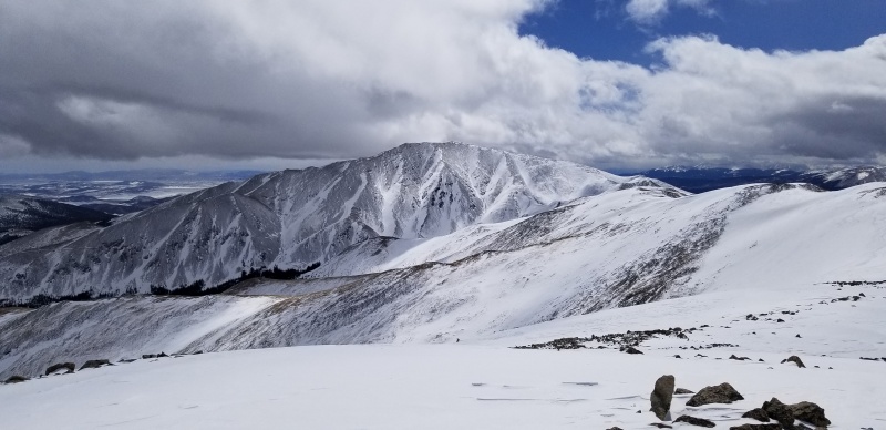
Bald Mountain A from Hoosier Ridge summit
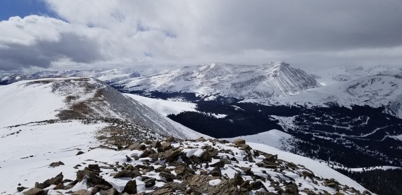
Skeeter - honk honk!
Q

Dork
Go time.
After transitioning on the summit ridge, I hiked down talus and strapped into my board around 13,100'. The first few turns were pretty stiff, but then I was able to link up some nice turns down a couple inches of pow with a great base underneath.
:)
Exit gully on the left
From below the steeper section, the pitch really mellows out but small turns in great snow was still possible. I took a continuation of the summit gully down into the middle of the basin, roughly paralleling my ascent route, but I was riding a couple hundred yards west of the skin track most of the time.
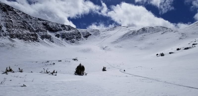
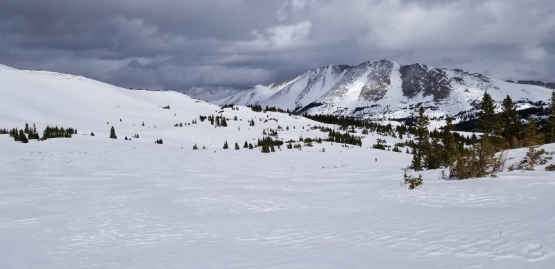
I was blown away by how fast the snow was riding. It was perfectly firm and not punchy underneath, and the snow on top felt very low density and easy to plow through. Initially I felt like I might need to meet up with my skin track just to survive, but I was able to keep so much speed in the flats that I continued to parallel well west and above my skin track, even getting in a few baby turns here and there.
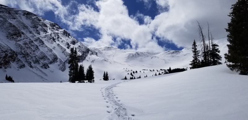
Somewhere around the picture above I met up with my skin track, which allowed for ridiculously fast riding and almost no poling for a while. I couldn't believe I was actually riding out that miserable flat crap with no effort! But all good things come to an end, and eventually around 10,900 or so I had to unclip and hike a short way back to a crest in the skin track. I had to do this a couple more times on the road out, but was able to ride most of it back to the car, even if my shoulders were screaming at me from too much poling.
I think this was just perfect timing, and I would not recommend skinning the entire road to ski these peaks. In bergsteigen's TR for Hoosier from 2019, she skied the same line, but wisely continued skiers left until reaching an area where she transitioned to skins and climbed north up a hill. Dropping into the north side of this hill puts skiers in a much better position to get some actual turns in, and to cut off about 2 miles of flatness down in the Penn Creek drainage. I still haven't done this, but it seems to be the standard exit for riding Red Mountain C's East Face. Last weekend Becca and I climbed and rode the same line while tagging Red Peak A on another pow day, but the skin track filled back in with windblown on the exit and we had to skin a couple miles DOWNHILL in fresh snow. That was absolutely miserable. Don't be dumb like us. Climb back toward PT 11,734' and drop in there if you're silly enough to slog it out to ski this area.
Rosalie Peak (13,575')
3/21/2020
E Ridge ascent, Tanglewood Bowl descent via Deer Creek TH (9,290')
9.2 miles, 4,300' roundtrip (CalTopo)
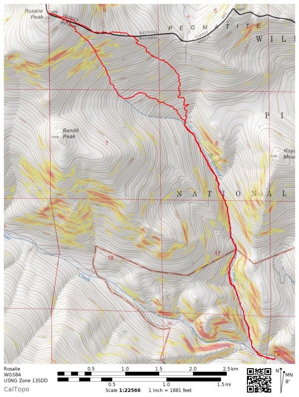
The third time was a charm for Rosalie. I tried this solo last winter, but I kept seeing huge tracks in the snow and hearing things in the woods, felt like crap and was all up in my head. 1A couple months later I tried again with Becca and friends Nic and Jason before turning around at treeline. This time it was just Nic - a friend from high school in NC - and Becca. Since we needed to start practicing social distancing in earnest by this point, we had Nic meet us at the Deer Creek trailhead and agreed to keep a fair distance between ourselves at all times.
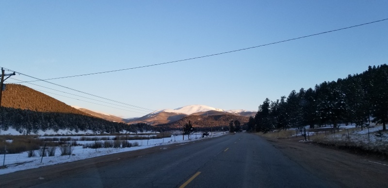
Rosalie and our line from the drive in. Looks in!
It was refreshing getting to a trailhead in under an hour from the crib in the Burbs. Deer Creek Trailhead was plowed to the Deer Creek Campground. Past the campground, the remaining bit of road had a good bit of packed snow on it, but some nice 4 to 6 inch tire ruts to guide me. Felt like my vehicle was locked into the rails of a roller coaster :) My 2018 Forester was barely OK - I wouldn't test it in those conditions in anything slung any lower. When we departed the trailhead 7:57 we were still the only vehicles in the parking area.
We found the trail well packed from the start with about an inch of fresh on top. 0.2 miles from the trailhead, the Tanglewood Trail and Rosalie Trail split. We hung a right to cross the creek on a nice bridge and continue on the Tanglewood Trail. Climbing very gradually through the forest on a killer trail, we sometimes deviated off the trail a tad to avoid skinning over exposed rocks. At points I'd use a ski to pack snow over rocks in an attempt to make the ride down less treacherous.
Around 1.2 miles from the trailhead, the Mt. Evans Wilderness sign welcomed us at a trail junction. The trail veering off to the left connects back up with the Rosalie trail. Continuing straight on the Tanglewood Creek trail, we eventually reached Tanglewood Creek. I wanted to parallel the creek in order to set a skin track for us to follow out back to the trail so we could have a longer fall line descent, and also wanted to climb directly up the meat of the line or its fringes. Nic and Becca could see how tight the vegetation was around the creek and recalled mention of awful willows down by the creek. They wanted to continue up the Tanglewood Trail a little longer before angling up to gain the East ridge. On the way down they wanted to cut hard skiers left at the bottom of the "bowl" into a patch of trees to completely avoid willows and thrashing. I think Becca and Nic's assessment was likely the better call.
The remainder of the ascent was kind of a slog. We managed to skin up to the ridge just above 12,400' where we saddled the skis and booted over talus for a few hundred vertical. Below the summit we put the skis back on for the remaining skin to the top. Nic and Becca were up there for probably 15 minutes before my slow ass made it. While on the summit Bec and Nic coined the nickname "Diesel Tortoise" based on my mountain climbing characteristics: I might be slow as hell, make a lot of noise complaining on the ascent, but I'll reliably get there... eventually. Quite fitting, I thought. It was windy and weather was moving in all around. Time to shred!
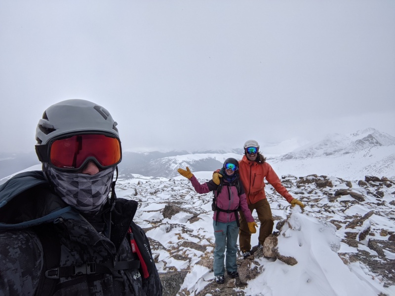
(L to R): Nic, Becca, me on the summit
Strapping about 30 feet from the summit, we traversed out skiers left to locate the entrance of the "bowl". Nic took the honors with first drop. We leapfrogged each other on the way down, stopping off on the fringes to take pictures.
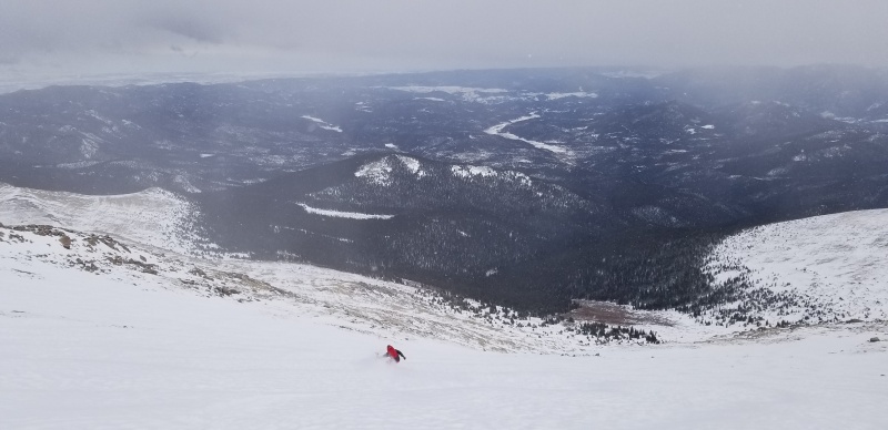
Nic getting some
The snow was perfectly firm underneath, and a range of a few inches of windblown lay on top that we had our way with.
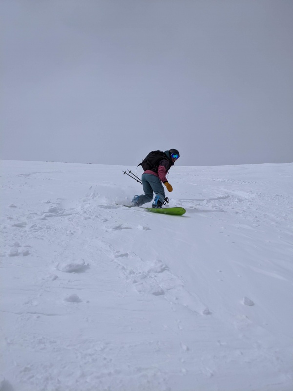
Becca
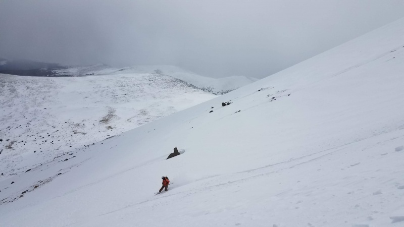
Me with Bandit Peak in the middle, Mt. Logan behind that.
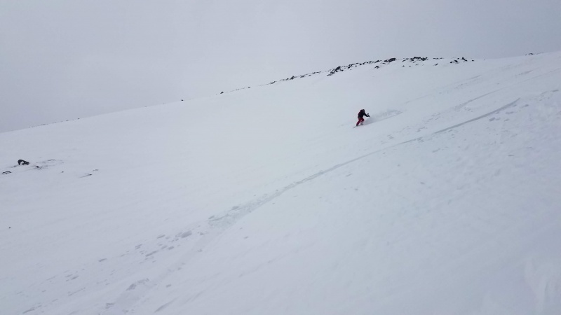
Nic
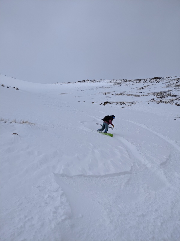
Becca
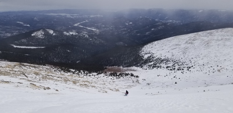
Becca in the lower section of Tanglewood Bowl
In the last picture, note the dreaded willow jungle in brown just before entering the forest. Between Becca and those willows is a thin patch of trees lying skiers left of the gully/creek bed. Upon reaching the thin patch of trees, we traversed hard skiers left in order to enter the forest far above the willows where there was still some pitch that could be boarded without too much effort. We still tangled with a few rowdy willows (aha, TANGLEwood creek!), some curse words were screamed in frustration, and we even came across an old hammock still set up between trees we were unsuccessful in breaking down - who doesn't carry a knife into the backcountry, really?! Eventually without too much strife, we found our way back to the trail. The trail was covered JUST enough to be reasonable to ride down until ~200' above the trailhead. A short snowboard carry later, we strapped back in and rode back to the car with the help of some poling.
Be sure to time this one after a good snowfall as this trail can be really boney. I saw on Strava that a friend skied this the following weekend and mentioned they had to do a LOT of walking low on the trail. The other two times I visited, I was able to ride most of the trail but still had to slow down and dodge rocks often. This is a great, low avalanche danger ski option close to the Denver metro once the snow has filled in - get you some!
Thumbnails for uploaded photos (click to open slideshow):


|
