| Report Type | Full |
| Peak(s) |
Mt. Lindsey - 14,055 feet |
| Date Posted | 02/22/2020 |
| Modified | 06/17/2020 |
| Date Climbed | 02/16/2020 |
| Author | bmcqueen |
| Additional Members | moon stalker, Wildernessjane |
| Flexibility Pays off on Lindsey in Winter |
|---|
|
Flexibility Pays off on Lindsey in Winter Know Before You Go vs. You Don't Know if You Don't Go The former helps with safety, ensuring that research is done before you venture out into the backcountry. Research on your planned route (Lindsey's northwest ridge), avalanche conditions (moderate above timberline in our case), weather forecast (mediocre at best), gear (dialed) and partners (mostly dialed - we didn’t know Caleb, but he quickly proved himself a solid partner). The latter comes into play when the former isn't looking ideal, but when it's not so bad that you decide just to stay home. We decided to give Mt. Lindsey a shot even though winds were forecasted to be 30 - 45 mph sustained with cold temperatures. A number of parties have bailed on winter Lindsey attempts due to wind, so we knew there was a very real chance we would join the ranks of teams who have done the long march in only to be denied the summit by fierce winds that are quite common in this area. 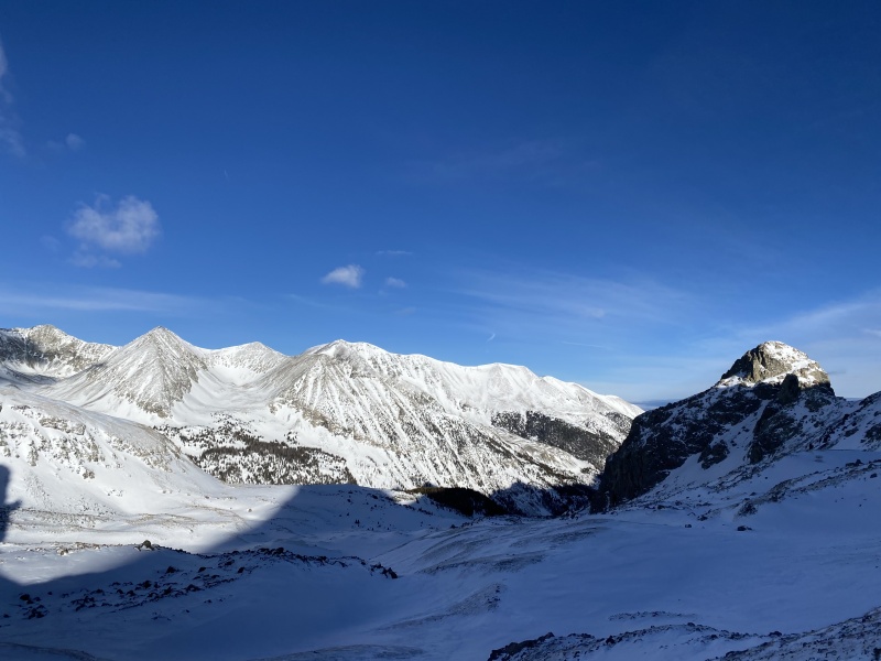
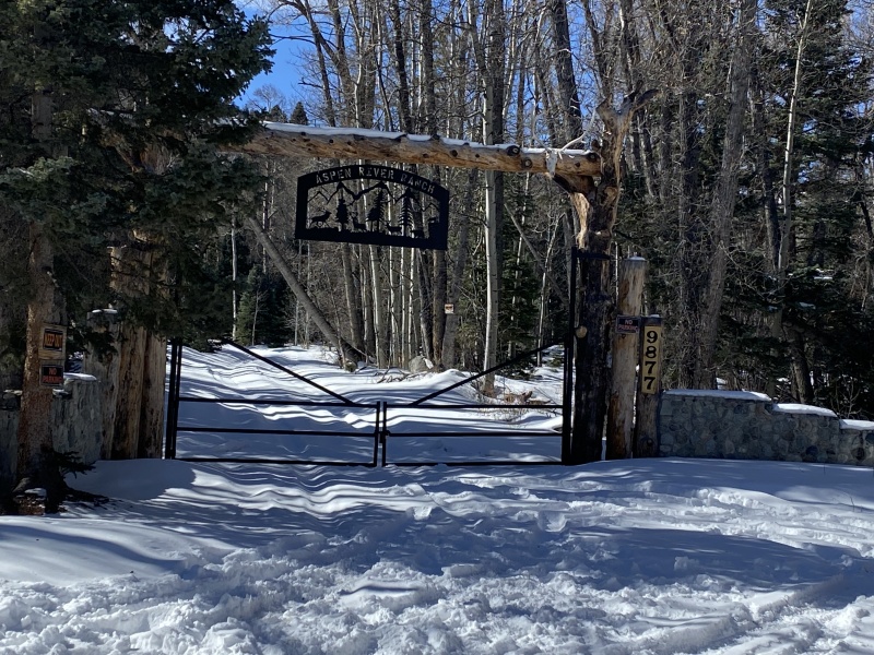
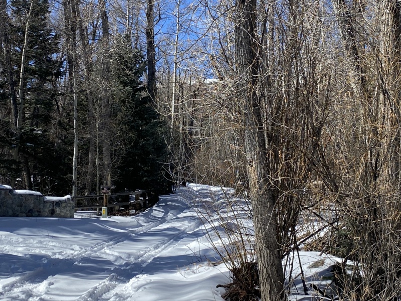
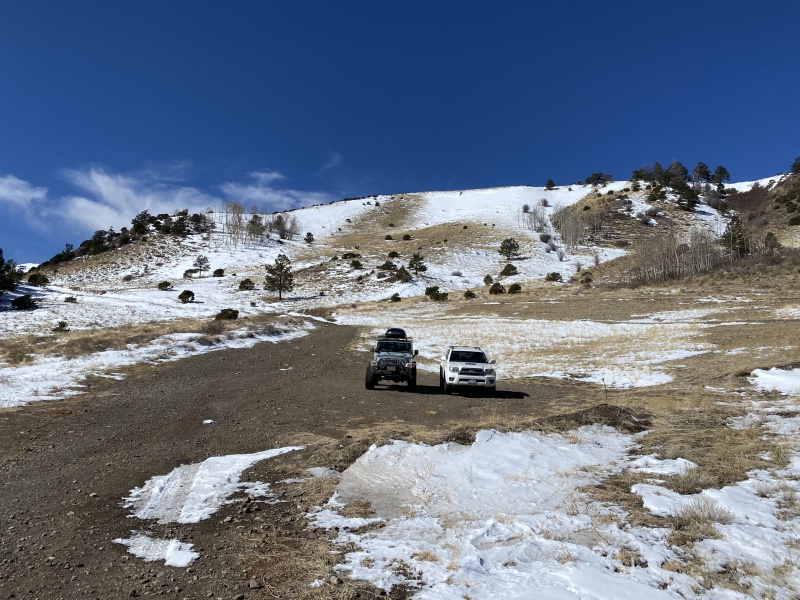
Stats Team: Brad McQueen, Jane Reuteler-Schmid, Kelly Greaser & Caleb Matteson Approach & Camp I needed to work for a couple hours Saturday morning, so Caleb, Jane & Kelly agreed to get started and I would catch up with them when I got down there. When I arrived at Singing River Ranch, I tossed my sled out of the car by the side of the road, then drove back down to the edge of the Huerfano State Wildlife Area where I knew I could park without private property issues. There were no other cars there, so I thought maybe there was a chance I beat the others south after all. I started walking at 10:24 AM and hooked my sled onto my pack at the Singing River Ranch gate. The snow on the road was getting deeper and I felt assured that I had parked as high as I legally could. 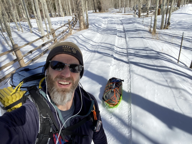
My good mood comes crashing down as I come around the corner and see a dry dirt road in front of me. 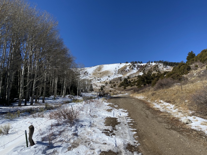
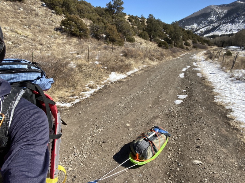
I later learn that Jane led the way up the road above the private property with Caleb following behind. They started walking from there just before I started walking from my car. Jane & Kelly had opted to share a sled, which they alternated every half mile on the way up and every mile on the way down. This isn't one of those games where you are excited when it is your turn. 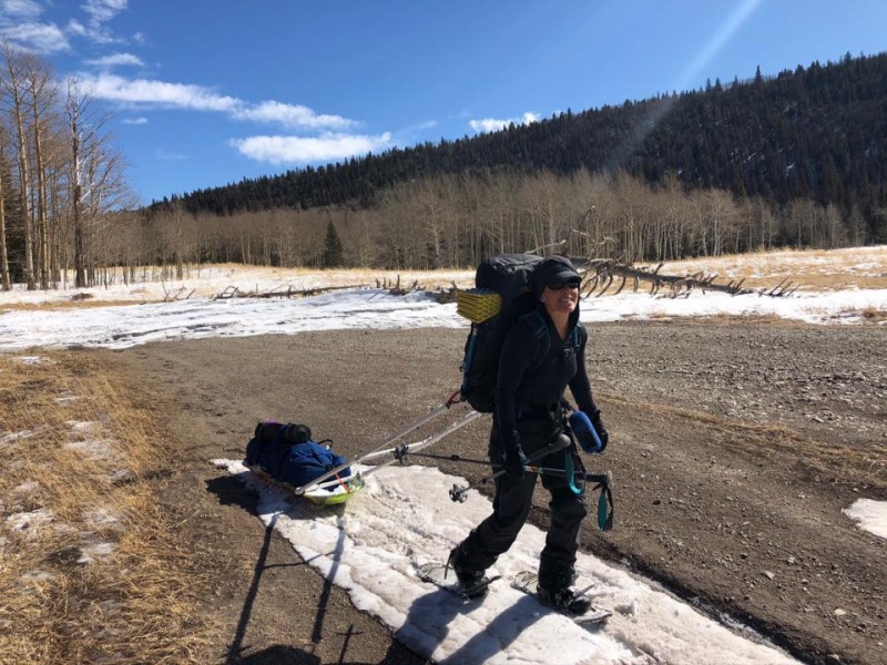
I keep trudging uphill to catch up with my teammates. Eventually I'm on continuous snow again and soon the post holing begins and the snowshoes come out. 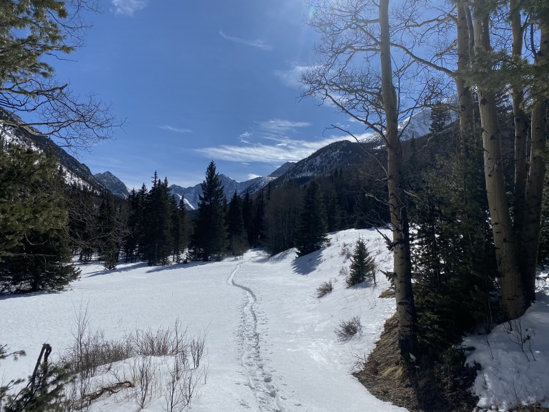
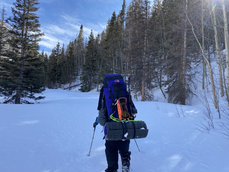
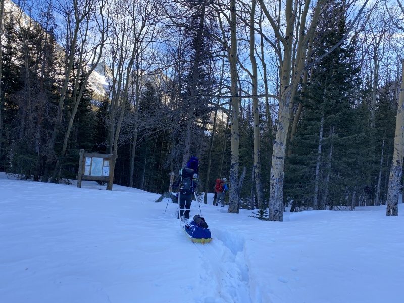
We are in a time warp. Each step is tiring. The map shows we are close to the summer trailhead. Yet as the minutes go by, it feels like we get no closer. I had hoped to be at the summer trailhead within 3-4 hours. We got there about 4:00 PM - over 5.5 hours since our start times, with probably three hours of that tackling the last 1.5 miles. We took 30 minutes and got our camp set up in a small clearing just beyond the summer trailhead, then we put the snowshoes back on to go pre-trench for the morning and hopefully fill water bottles. At 5:30 PM, we called the pre-trenching effort when we found running water in the stream. We filled water bottles and walked back up the hill to camp to settle in for dinner and rest. Oh and studying for Caleb. He had a test Monday and brought a few school notebooks to study. 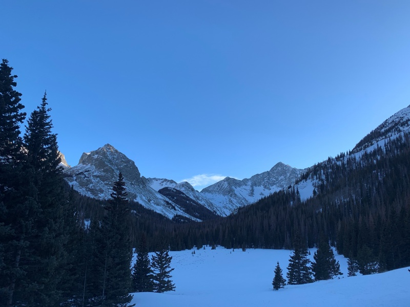
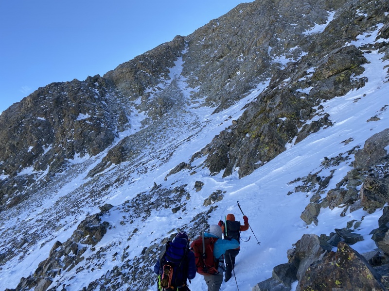
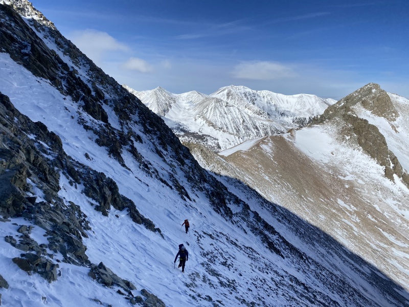
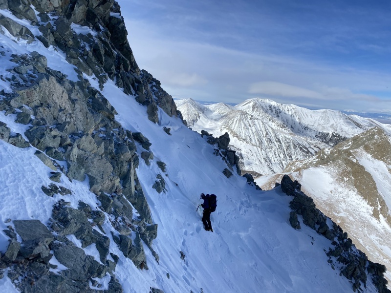
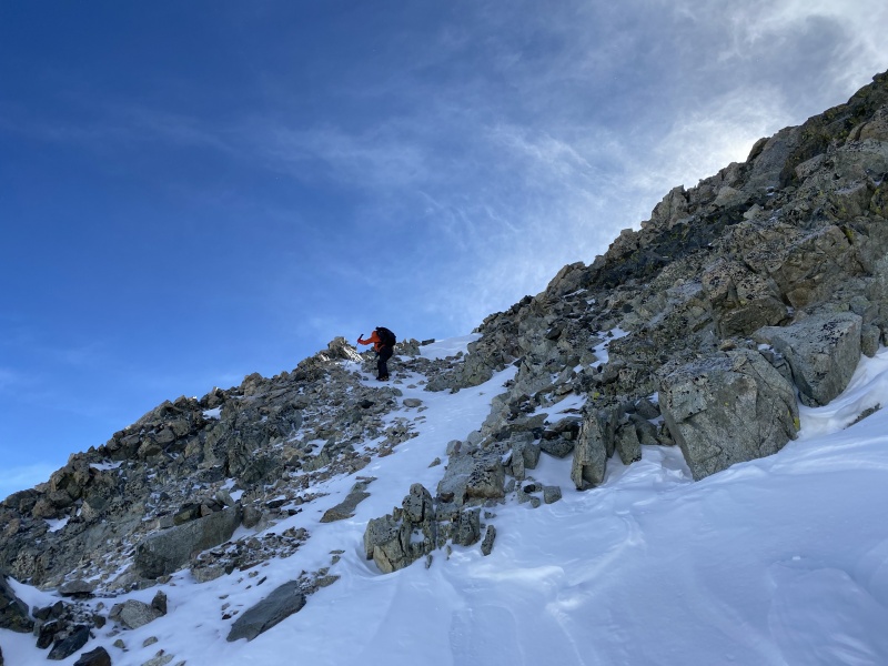
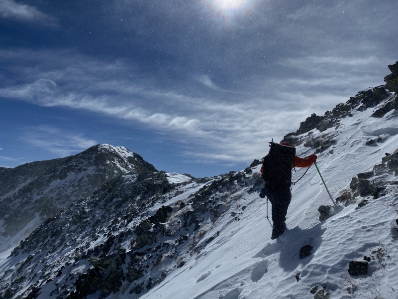
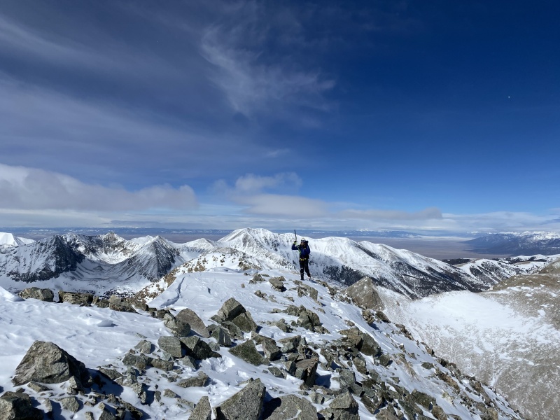
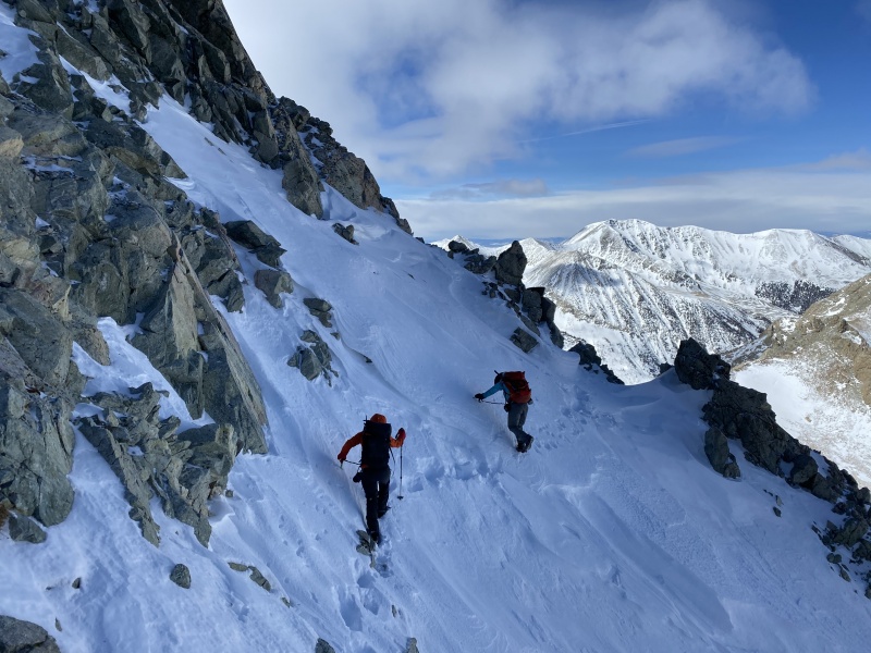
Summit Day We agreed to set alarms for 3:45 AM and walk at 4:30 AM. With four people all facing their own morning cruxes of leaving the warm comfort of the sleeping bags to fire the stoves and put cold boots on, I considered it quite a victory that we walked from camp at 4:35 AM. It had been a reasonably pleasant winter night in the tents. We could hear the wind ripping above us (worrisome), but our tents were shielded from its effects during the night. Pre-trenching is a great way to set yourself up for success on a cold winter morning. We were practically skipping out of camp going downhill with light summit packs in our established trench from the day before. That lasted all of 19 minutes. Impressive how much faster you move in an established trench. I was in the lead as we hit the end of the trench. Kelly had suggested the previous evening that we keep our rotations short to stay fresh and keep our speeds up, so I told the team that my goal was to do a 7-minute shift. We spent the next four hours trenching 7 minutes at a time. Our new favorite words in the whole wide world were, "Ok, that's your 7!" This team was strong though and we worked well together. Whoever was up front seemed like a trenching machine for their 7 minutes, then rotated to the back for relative rest for the next 21 minutes. As we turned up the gully from the meadow, we got a bit high on the slope to the left (north) of the gully. Jane wisely suggested that we were on questionable terrain and might be better off on the gentler slope in the gully. Jane taught me on Wilson Peak earlier this winter that teams are statistically safer with at least one woman on the team. I agree. We moved to the gully and all felt much better about the terrain. The snow got firmer and firmer as we moved up the drainage until it was time to gain the ridge. 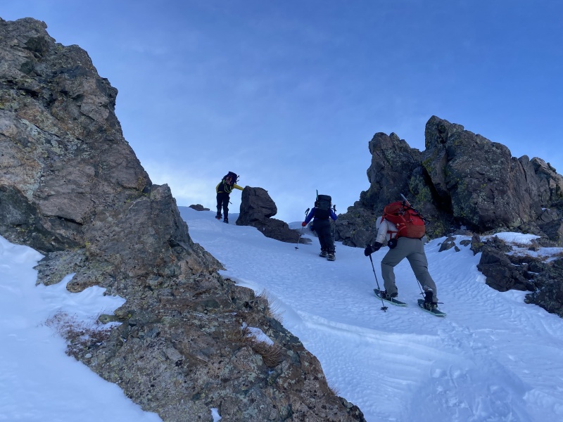
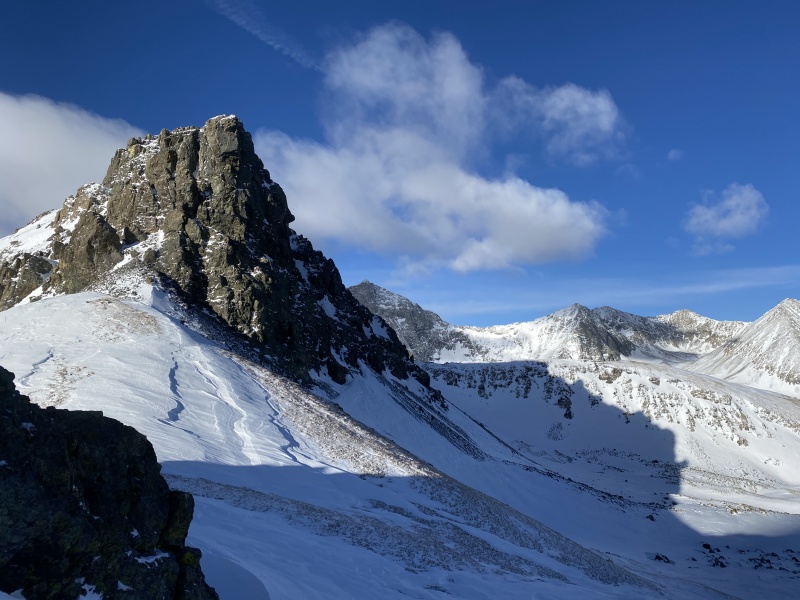
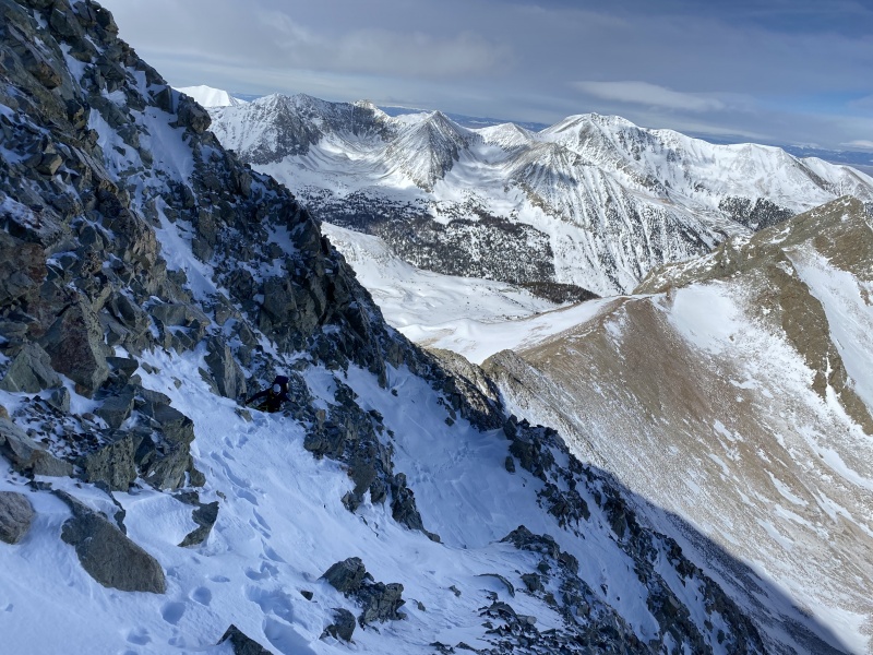
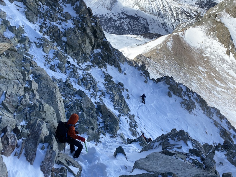
We knew the wind would become an issue as soon as we were up on the ridge. It was at least at our backs for this first stretch, but I think we all started to ponder what it would be like on the crux section of Lindsey's Northwest Ridge with this wind. Jane and I hit the Lindsey/Huerfano saddle first and let's jut say the wind was unpleasant. We ducked around the east side of the ridge and tried to hunker down behind some rocks until Caleb and Kelly joined us. The wind insisted on finding us wherever we hid however. Heavier mittens and an extra layer went on. We looked towards Lindsey as we sat shivering in the wind and noticed that the gully didn't seem to have much snow at all. Maybe that's a better option today? Normally in winter, the ridge is the way to go from an avalanche safety perspective. That didn't seem to be an issue today and we were worried the wind would blow us right off the ridge. We figured we would run it by Kelly & Caleb when they joined us. Where were they? We braved the wind to take a look to the west again, but didn't see them. Did they spin? I went a little farther and still couldn't see them. Then I looked to the south and saw that they had skirted the saddle and were a ways in front of us on the ridge. Jane and I quickly caught up with them so we could regroup on the plan. They had talked about the same thing on routes - the gully was the way to go today. We found a sheltered spot on route to the gully, got some food and water in us, put crampons on and set off for the gully. 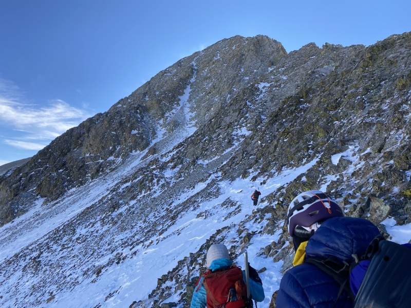
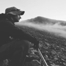
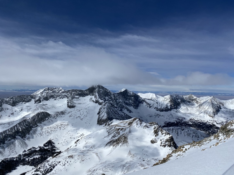
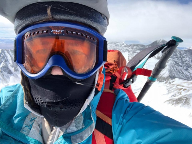
As we get closer to the summit, we can see and hear the spindrift coming off of the summit. This isn't going to be the kind of day where you hang out up there very long. 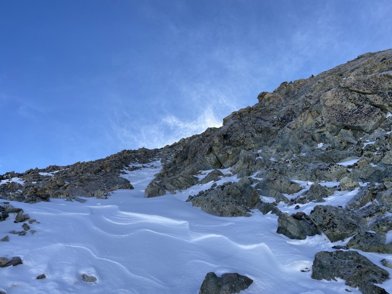
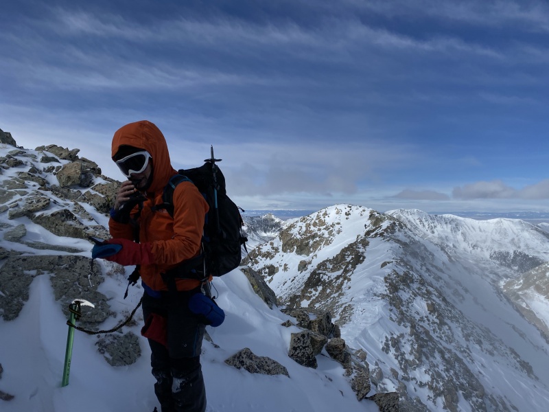
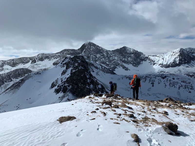
We wait for a few minutes, then decide we should just run up and summit, then return back to this lovely sheltered spot to wait for our friends. Jane & I summit at 11:00 AM on the button - 6:25 up. Caleb and Kelly are within 15 minutes of us. 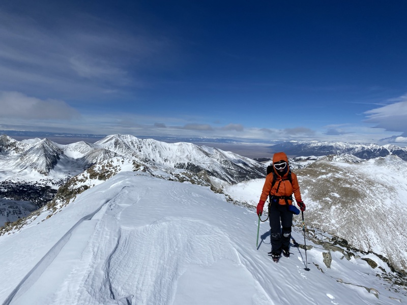


Jane and I decide we should grab the Northwest Lindsey bonus snowflake while we are right there, so we grab that quickly and all head down together. 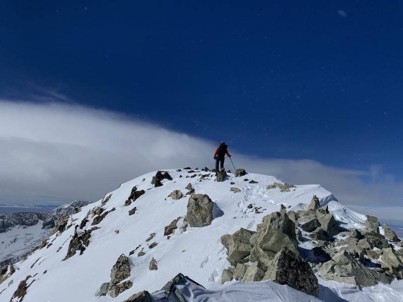
We got back to camp at 2:49 PM, a 10:14 camp to camp summit day. After packing up the overnight gear and sleds, we set off for the cars. Our established trench made the sleds more of an asset than a liability on the way down, but there sure seemed like more uphill sections on the way out than I remembered downhill sections on the way in. 
Caleb hit the gas due to his test on Monday and some things he still needed to do to prep. Kelly, Jane and I lamented pulling our sleds across the dirt road on the way down, then played something of a Tetris game to fit two sleds, three packs and three humans into one little Jeep so they could give me a ride down to my car. We wrapped up with a 13:49 summit day, then made the long drives home. All in all, great trip with a great team. I'm definitely glad we gave it a go, but staying flexible on route was key to getting this winter summit to fall. Thanks for reading. Thumbnails for uploaded photos (click to open slideshow): ")
")
")
")
")
")
")
")
")
")
")
")
")
")
")
")
")
")
")
")
")
")
")
")
")
")
")
")
")
")
")
")
")
")
")
")
")
")
")
")
|
| Comments or Questions | |||||||||||||||
|---|---|---|---|---|---|---|---|---|---|---|---|---|---|---|---|
|
Caution: The information contained in this report may not be accurate and should not be the only resource used in preparation for your climb. Failure to have the necessary experience, physical conditioning, supplies or equipment can result in injury or death. 14ers.com and the author(s) of this report provide no warranties, either express or implied, that the information provided is accurate or reliable. By using the information provided, you agree to indemnify and hold harmless 14ers.com and the report author(s) with respect to any claims and demands against them, including any attorney fees and expenses. Please read the 14ers.com Safety and Disclaimer pages for more information.
Please respect private property: 14ers.com supports the rights of private landowners to determine how and by whom their land will be used. In Colorado, it is your responsibility to determine if land is private and to obtain the appropriate permission before entering the property.