| Report Type | Full |
| Peak(s) |
Mt. Democrat - 14,154 feet Mt. Cameron - 14,248 feet Mt. Lincoln - 14,293 feet Mt. Bross - 14,178 feet "South Bross" - 14,020 feet |
| Date Posted | 10/24/2019 |
| Modified | 02/16/2021 |
| Date Climbed | 07/12/2008 |
| Author | huffy13 |
| Found pics! A TR years after the fact (The Decalibron Loop) |
|---|
|
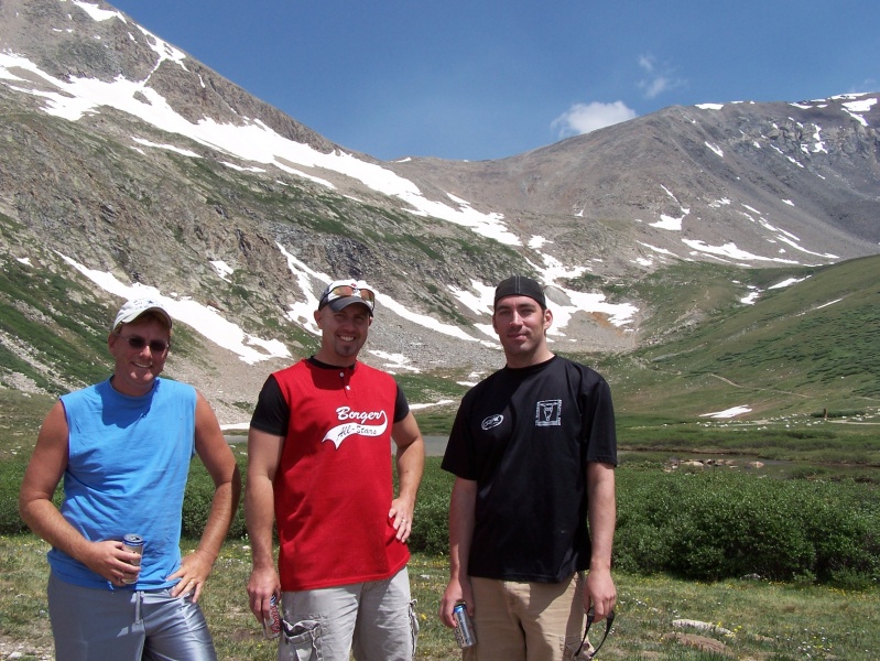
I was scanning through my home computer this last weekend, looking for some pics of my kids during their grade school days when I came across the pictures from a trip my wife and I took to Buena Vista with some friends just to relax and enjoy a break from the oppressive Texas Panhandle heat that we were getting in July of 2008. I thought I had lost these pics, and I honestly had intended to do a report the week after we got back home. I figured the pics and experience is still relevant for those that may be looking into doing these four as a loop, so here goes. We rented a cabin just south of Buena Vista (near Johnson Village) that overlooked the Arkansas River, staying for 4 days gave us time to enjoy some river rafting, hanging out in both BV and Salida and just a few days of total relaxation. My buddy Trey had not ever hiked at altitude, but was very interested after I showed him the pics from the previous year when my son and I summitted Grays and Torreys, my son's first 14ers and my 2nd and 3rd. We figured we'd go get Sherman, but another friend that lived in Denver wanted to go hike with us and he already had Sherman, as well as Quandary and Shavano. He had not gotten the Decalibron loop, neither had I, so why not knock off 4 summits on one excursion? 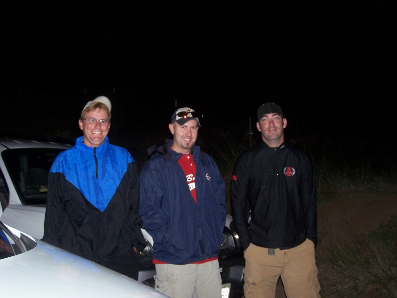
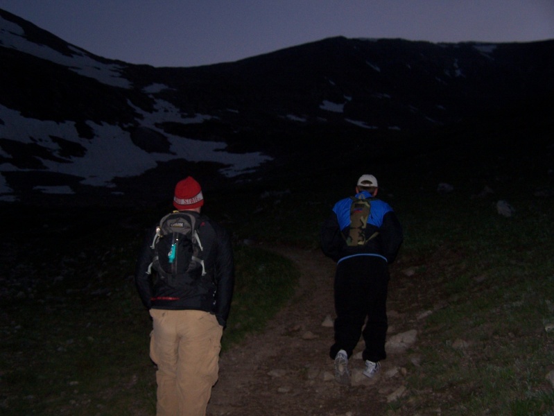
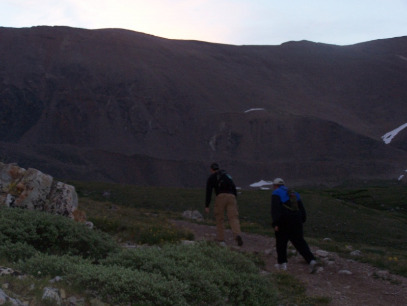
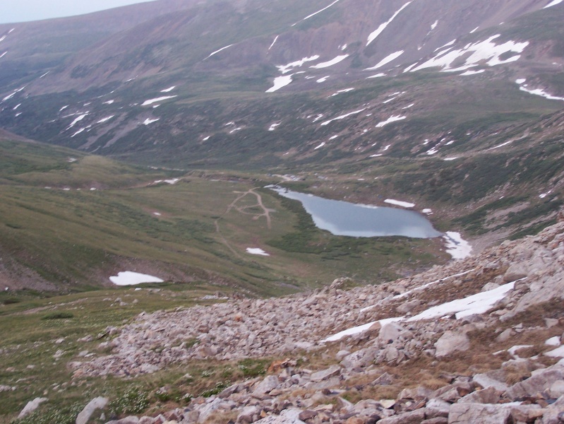
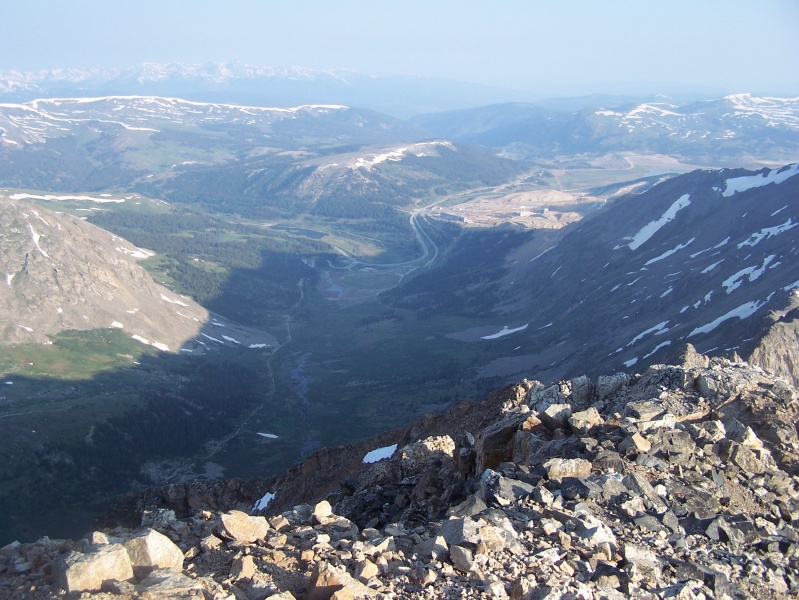
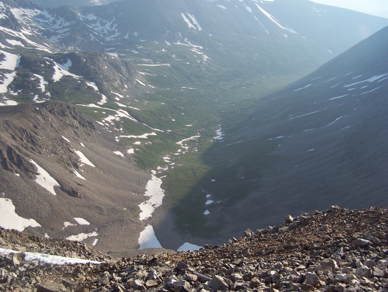
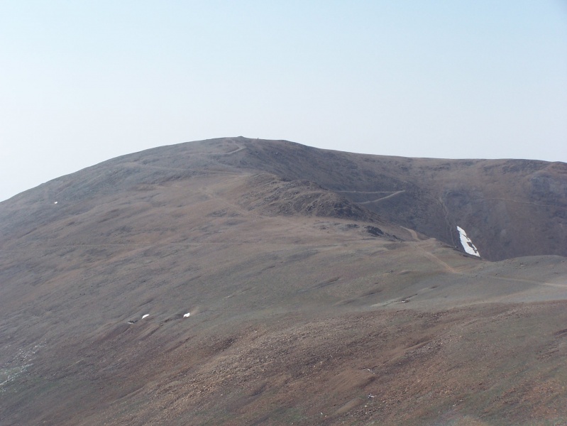
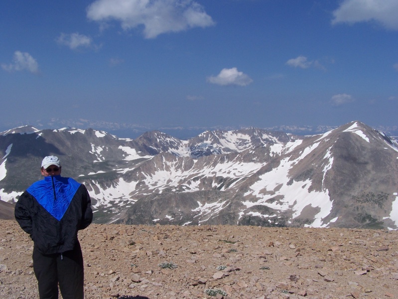
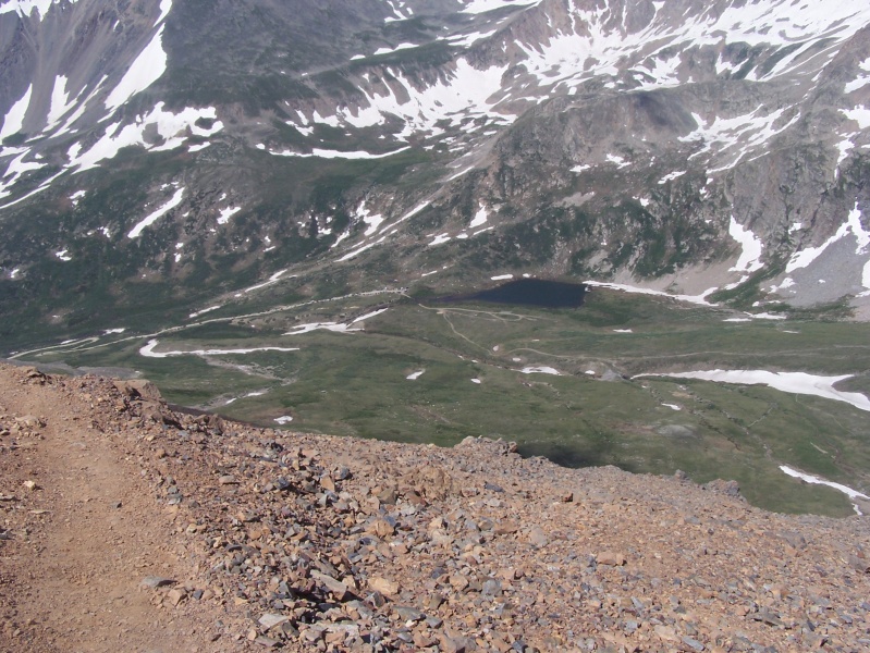
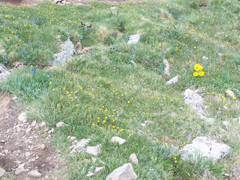
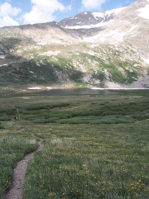
We left the cabin before sunup and arrived at Kite Lake around 6 am, got a good parking spot right at the main lot, paid our parking day fee and started uphill shortly thereafter. It was pretty dark when we started, but the trail was pretty obvious. One thing I really feel is missing from this hike is that your are never getting to hike through any forests....the trailhead is around 12,000 ft, so there's really nothing beyond the willows and tundra flora. Still, there were some wildflowers, but the entire hike is above treeline. The trail up all 4 mountains is pretty straightforward. We did start with Mt. Democrat. 


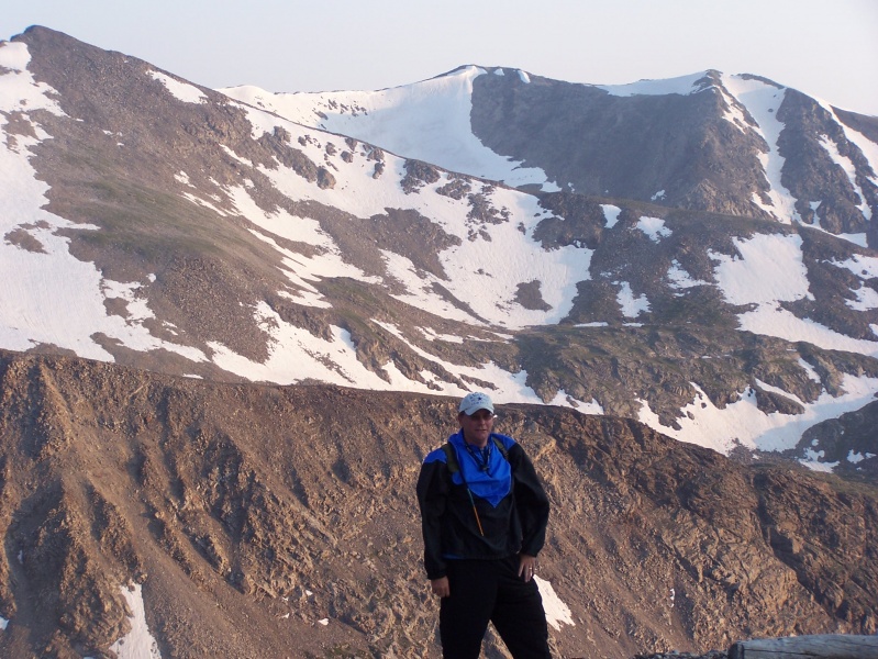

 We made Mt. Democrat's summit after about an hour and a half of hiking. 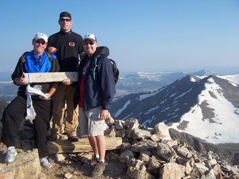
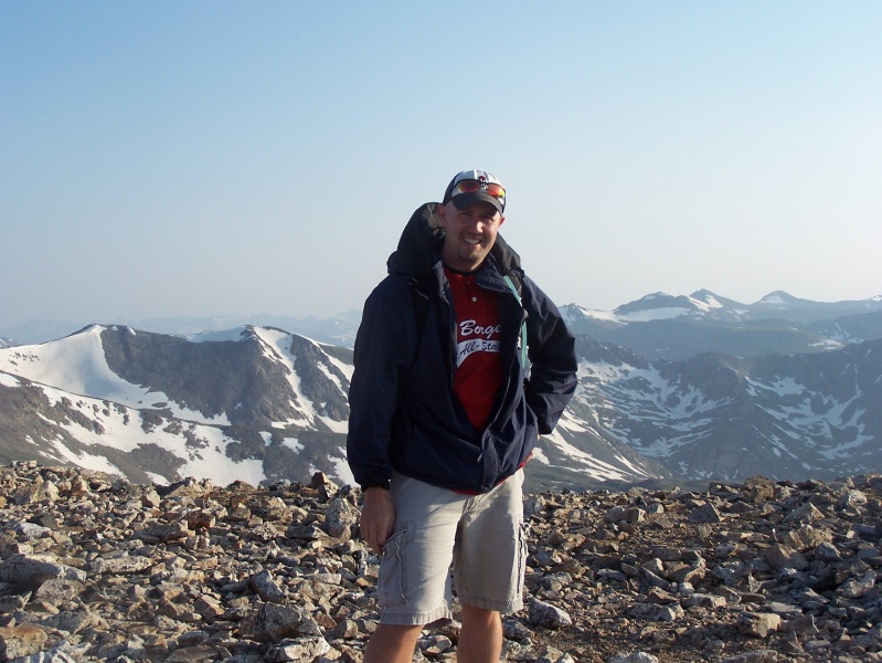
Then we traversed across the broad connecting ridge over to Mt. Cameron. 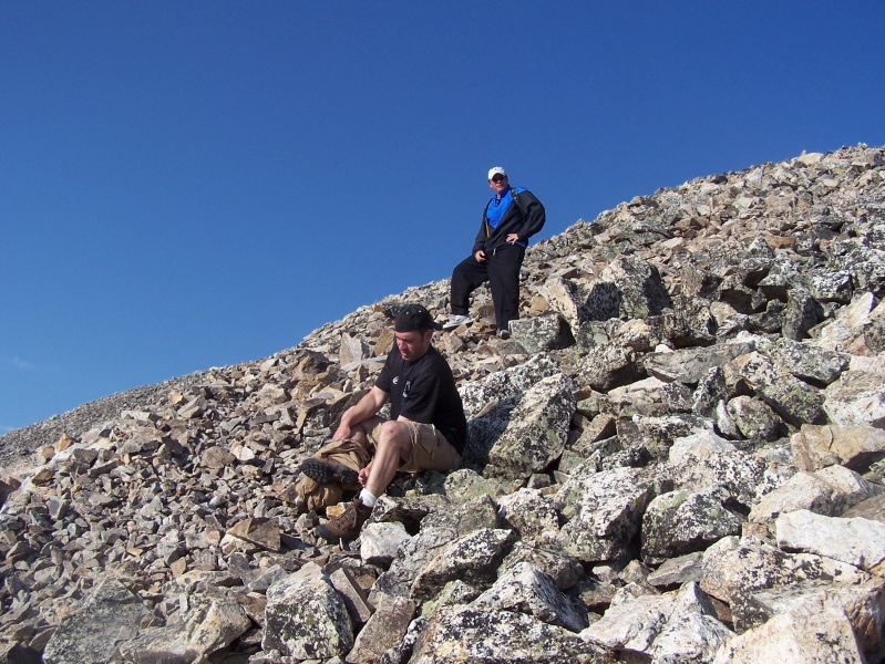
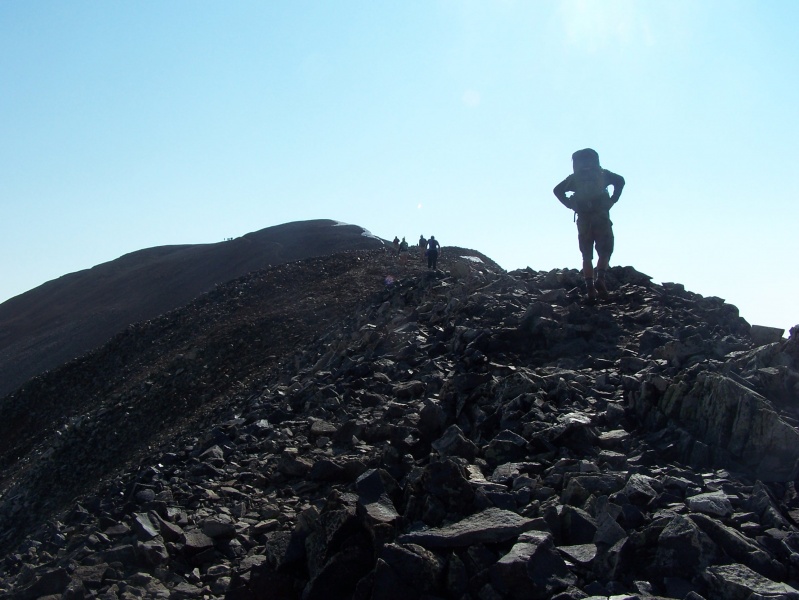


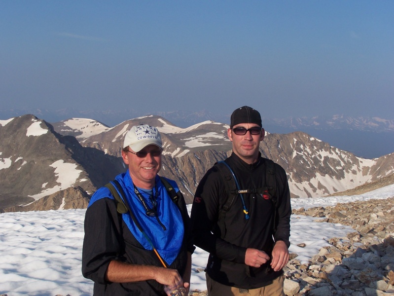
And after a short, 10 minute break we began the trek over to Mt. Lincoln, which was my favorite of the 4, just seemed like the views from Lincoln's summit were pretty good and the ridge over was somewhat more fun than the others. 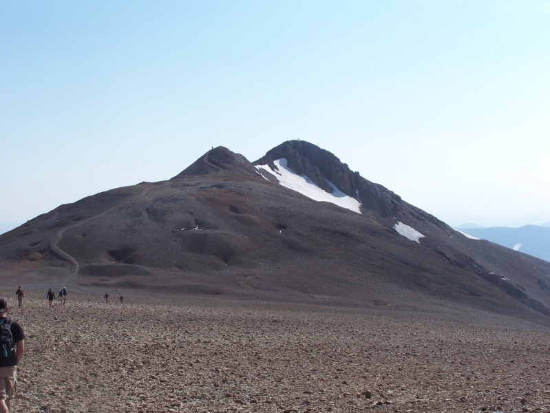
We made the summit of Mt. Lincoln in about a half hour or so after dropping down from Cameron's summit, maybe a little more, but the traverse over was pretty easy, by 14er trail standards anyway.... 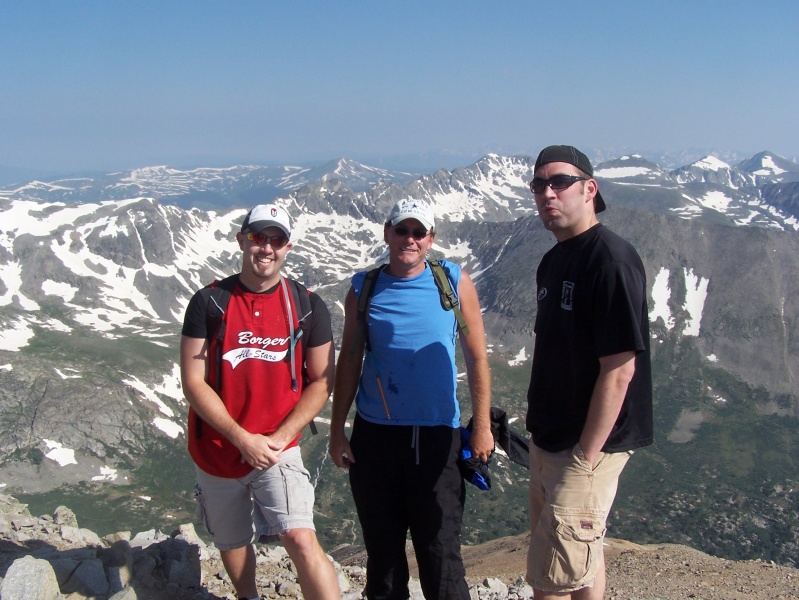
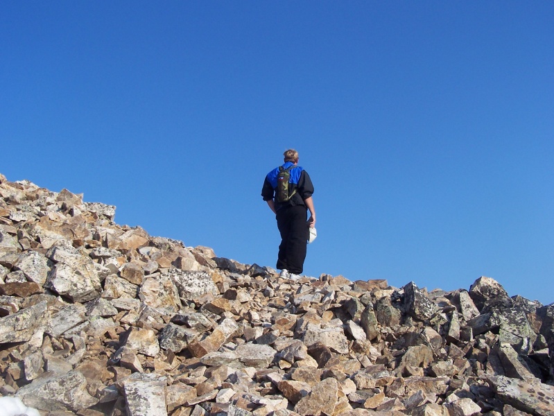
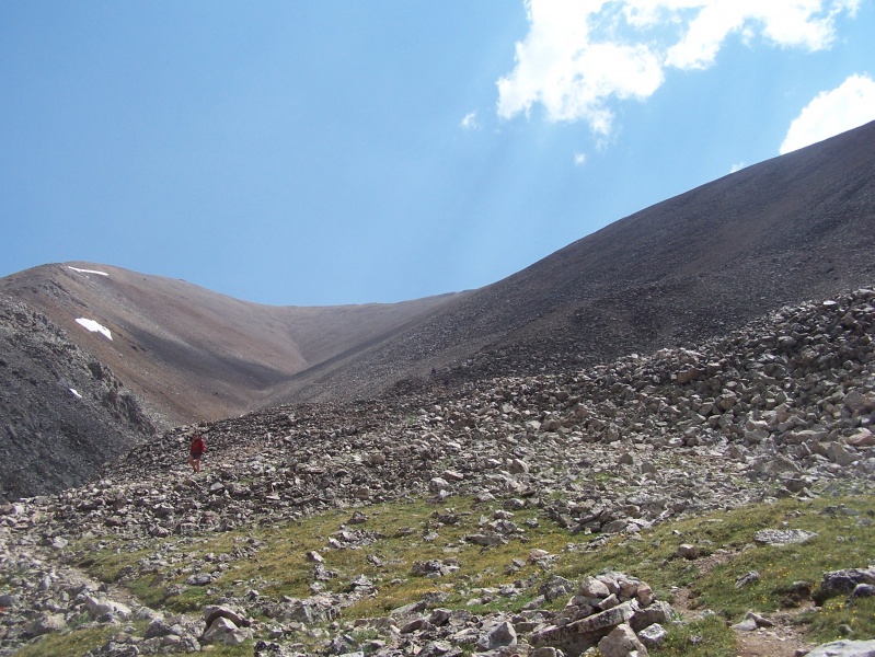
After another 10-15 minute break, we began a longer, more tedious slog over to Bross. 
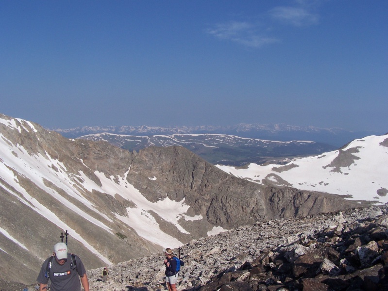
We made the summit of Bross about 10 am, the winds were considerably stronger on this summit, so we used a rock windbreak to sit and relax for a while, watching the conga line that had consistently gotten more and more populous as the day went along. The parking area 2000 ft below us had filled up and the overflow ran as far as we could see down the road towards Alma, so I was glad we got an early start. 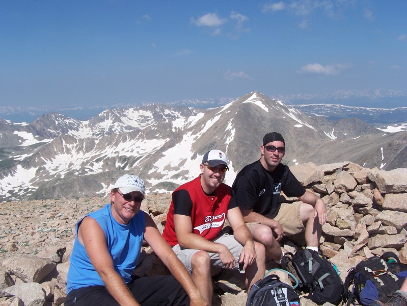
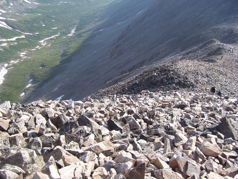
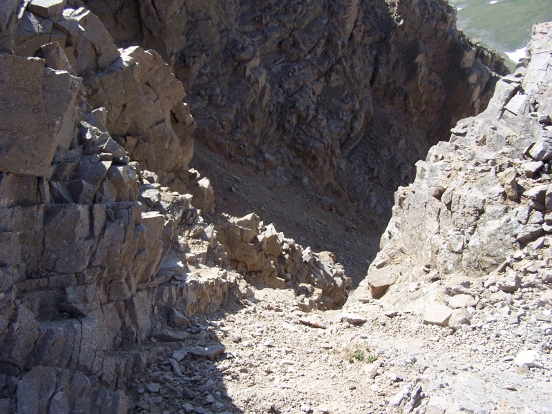
Then came the part that we really had been dreading....the descent of the scree infested slopes that Bross is known for. It was literally like walking down a hill made of rough marbles....I ended up falling on my keester several times. Some folks actually jogged downhill past us, which may have been the smart thing to do. But we crept down the hill and made it back to the Kite Lake parking lot right around noon. We celebrated with some cold beers, visited with several others that had made the loop, and then headed back to the cabin....eventually heading in to Buena Vista for some BBQ at a place called Punky's (which I think has since closed) and then some drinks and relaxing at The Lariat. 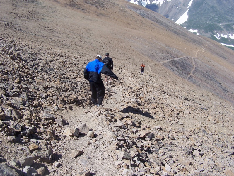
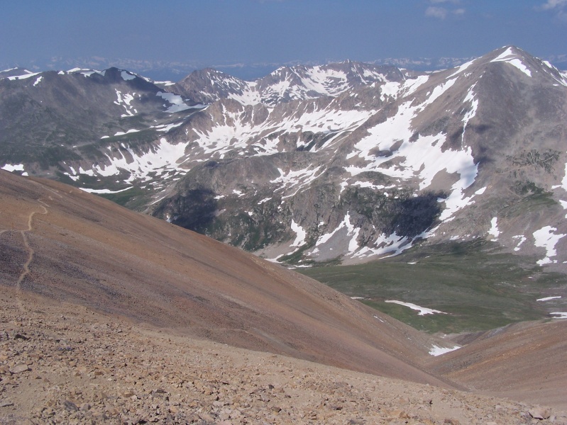

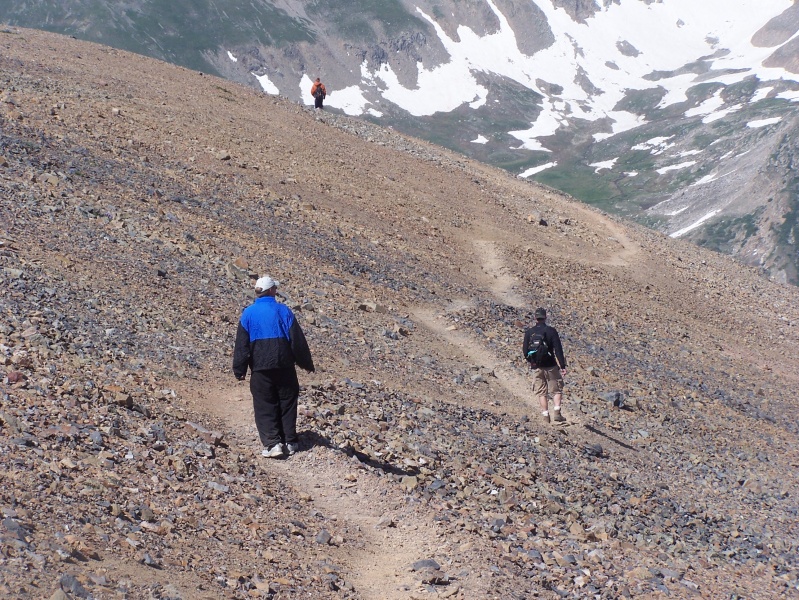


Ok. I'll do my typical summary of thoughts and pointers on this hike, despite being over a decade ago I still remember a lot about it. First off, water....Kite Lake itself is the only real source of water, there are no real sources other than maybe some snow, but this hike isn't very long. I still had over half of my CamelBak 2.5 liter hydration bladder left once the hike was over...but it was not hot at all the day we hiked, so plan accordingly. This hike was pretty straightforward, although somehow we got off trail on the way up Mt. Democrat and ended up on some steep, loose rocks for a while. We were able to correct that mistake without incident and the rest of the hike was without issue. The views from the summits of all four peaks are pretty cool, although the views from Lincoln were my favorites. The most exposure on this entire hike was pretty much while on the summit of Lincoln...it's not really even exposure, just the smallest summit of the hike. Cameron and Bross are pretty much acres of summit space. The drive to Kite Lake is easy for any vehicle, but you will want to get there super early....that place fills up fast and after that Bross descent you will hate yourself for adding any unnecessary mileage at the end of the trek. Thumbnails for uploaded photos (click to open slideshow): ")
")
")
")
")
")
")
")
")
")
")
")
")
")
")
")
")
")
")
")
")
")
")
")
")
")
")
")
")
")
")
")
")
")
")
")
")
")
")
")
")
")
")
")
")
")
")
|
| Comments or Questions | |||
|---|---|---|---|
|
Caution: The information contained in this report may not be accurate and should not be the only resource used in preparation for your climb. Failure to have the necessary experience, physical conditioning, supplies or equipment can result in injury or death. 14ers.com and the author(s) of this report provide no warranties, either express or implied, that the information provided is accurate or reliable. By using the information provided, you agree to indemnify and hold harmless 14ers.com and the report author(s) with respect to any claims and demands against them, including any attorney fees and expenses. Please read the 14ers.com Safety and Disclaimer pages for more information.
Please respect private property: 14ers.com supports the rights of private landowners to determine how and by whom their land will be used. In Colorado, it is your responsibility to determine if land is private and to obtain the appropriate permission before entering the property.


