Sneffels' Southwest Ridge was going to be my swan song for Class 3 routes in 2019. It was fourteener #8 for the season (my goal had been 10, and Class 2+ peaks Blanca & Ellingwood would, I had already decided, be 9 and 10), it would mean ending said season with quintuple the number of Class 3 fourteeners that I'd started 2019 with (I'd done Longs the wrong, ER-visit-resulting, way in 2014; the right way in 2015; and, despite the 2014 incident having little to do with that magnificent bastard's Class 3-ness, had been too mentally scarred to try again in intervening years until I ran out of "easy" fourteeners and thus had no choice but to break the Longs Peak Curse if I wanted to keep going), and my descent of the crux wall had me convinced that I was going to die and/or break my neck in the process.
But since the worst that happened was that I peed myself a little - or would have, if I hadn't been slightly dehydrated - a couple weeks' time passage gave me a nagging itch of the kind that I hear could be compared to chlamydia to go celebrate Halloween's imminence by scaring myself senseless yet again. I had a couple ideas in mind for options; I didn't want to attempt a new-to-me fourteener in case conditions forced me to turn around, because I really like the idea of ending the year with no unfinished business.
My first thought of revisiting Longs, however, wasn't one I could fully talk myself into. Longs pretty much encapsulates every reason I have for doubting my chances of success on new fourteeners after September: it necessitates an at or below-freezing dark o' clock start, there are heinously long sections with no protection from the cold and wind, and there are so many opportunities to find some unfortunately located ice and snow. I then considered revisiting Torreys via Kelso Ridge, but the forecasts I read made it hard to convince myself that I totally wasn't gonna get blown off the Knife Edge when one of those infamous wind gusts battered the Continental Divide, no way!
It eventually occurred to me that I didn't have to limit myself to fourteeners, that in fact I've gotten rather into short + sweet little Front Range thirteeners in the past few weeks, and that I'd read on this very site about a short, sweet, easy-access, navigable-even-with-my-"creative"-routefinding-skills, doable-sounding-C3-crux peak: Hagar Mountain! And since I have a...sorta-cousin, once-removed? maybe? she's related by marriage rather than DNA, so I dunno, man...named Hagar who is super into Judaism (like, keeps kosher and everything, unlike my emphasis-on-the-"ish"-in-Jewish family!), and I planned to do my hike so that I'd be back in Denver by the time Yom Kippur started, it seemed like kismet!
Armed with prior trip reports, I sauntered up to the mountains at a leisurely pace Tuesday morning. I pulled off the highway (just barely - there's little more than a patch of gravel separating the parking area from I-70!) and onto the shoulder due west of the Eisenhower Tunnel and was on the trail by 10:30 a.m. I'd debated going up and over Golden Bear, but a) I'd already been up there (in large part via the magic of Loveland's Lift 9 and Ridge Cat, but still) and b) I'd felt the wind nudge at my car on the way up, so I figured I'd have sufficient dodging gusts for only the section of the Continental Divide between the Coon Hill saddle trail and the thirteener I had yet to summit.
Sure enough, it was a blowfest, and while I was as grateful as ever that I'd had the foresight to bundle up in my ski jacket, lift op gloves, and winter underlayers, I did find myself wishing I'd thought to at least pack my ski goggles as well. I found myself closing one eye - my left one, which is my dominant side, no less - as I conducted a staggering half-sidestep across the minor ups and downs of the mostly grassy ridgeline to the base of Hagar's false summit.
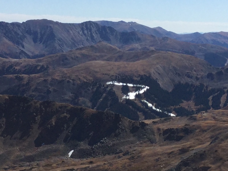
 Evidence of Loveland's snowmaking efforts made me excited about the prospect of using my ski gear for its original purpose.
Here, happily, the wind died down, and I was able to focus my attention on the screefest that is the bottom part of its slope. Unlike some of the choss parades I've encountered on this season's fourteeners, however (I'm glaring at you, Challenger), this one was mercifully short, and while I naturally had to pause a few times to catch my breath due to the pitch of the slope, the walking was grassy and therefore easy to the top of the bump.
The view from that point did give me brief pause. The first and, as it would turn out, last hiker I would encounter that day had expressed her concern about my plans to go it alone, because unlike similarly rated fourteeners, I would (she warned) really, truly, no-kidding, final-warning, be going this one alone. And the crux did look...crux-y.
 Still not as bad as Longs. Or Sneffels. Or Challenger, for that matter.
Still, I'd read that there was a way to keep this Difficult Class 2, if I could just find it. And the harder I looked, the more options there seemed to be. Plus, while the wind wasn't quite far enough from my path to feel like a distant recollection of a childhood nightmare, it wasn't the shrieking vortex of demons that had tried to stampede me from lower on the ridge, and I knew this was the last time the rocks were likely to be this dry this year, so it was now or never.
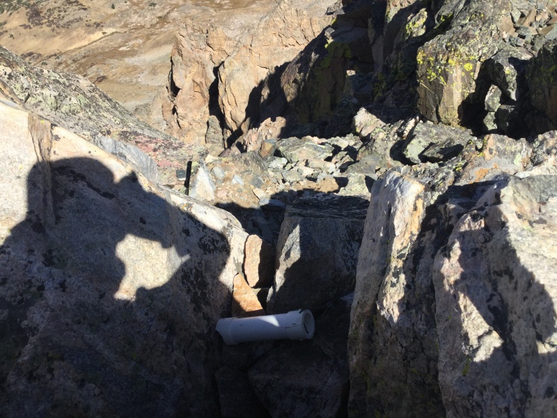
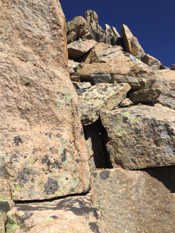
I wound up dropping slightly below the saddle below the false summit and the crux before starting across, then finding a decently packed-down line that did, indeed, seem merely Difficult Class 2. But I abandoned it about halfway up; I wanted Class 3, and I was going to do some Class 3, dammit! I picked a line to my left, quickly resolved that I really need to hit the gym or start doing pushups or something about my upper body strength or lack thereof, and nonetheless found myself with only one mildly tricky maneuver to make before scrambling up to the summit. A quick but careful placement of hands and feet later, another few feet of crawling over the boulders jumbled on the south side of the high point, and I was staring down at the empty register tube.
 Poor little summit register tube, so devoid of meaning...
The wind, of course, picked right back up as soon as there was nothing to block it, and while I could see two other possible options for Hagar's real summit, I decided that the one I was on was good enough - the farthest away seemed to necessitate navigating a minuscule knife edge that I nonetheless didn't feel like getting pushed off by the renewed strength of the elements. I stayed up top just long enough to take some pictures, but it can't have been more than five minutes before I was hustling back down, eager for the comparative warmth of the summit pitch's sun-soaked east side.
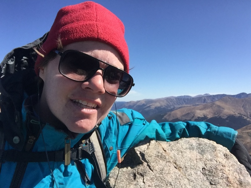
 I couldn't even unzip the jacket for this summit selfie, it was so windy! :(
I took a different path down than I'd come up; my ascent had been more to climber's left, and on the downclimb, I stuck to a path of sorts that looked like it might have been the Difficult Class 2 option I'd read about. This option nonetheless required a couple of Class 3 maneuvers of me, though I will acknowledge the possibility that they'd have been Class 2+ if I were over 6'. In any event, I found myself back atop the false summit a mere 20 minutes after I'd left the true summit - quite the achievement for someone who hems and haws in tricky terrain as much as I do!
 Curse you, short genes!
Even without a trail until I'd come off the Continental Divide and re-attained the Coon Hill saddle, the rest of this route was easy - don't start going west until you can make out the Eisenhower Tunnel, and you'll be fine. I took advantage of the easy pitch and my apparent status as the only hiker in that part of Summit County to belt along to David Bowie and Bob Dylan, enjoying myself so much that it was kind of a shame when I found myself back on the road curving past the CDOT facilities and toward the shoulder where I'd parked. I reached my car at 3:40 for a time of just over 5 hours roundtrip, a number which might mean more had I known my exact mileage (I have yet to find any for the particular route I took, and I'm waiting on Hanukkah/birthday gifts or money to get a GPS).
Still, if it took *me* such a short time to do a hike, especially one with even the briefest of Class 3 moves, this should be an easy jaunt for anyone of adequate physical ability! And while I can't in good conscience recommend that first-timers to Class 3 go solo the way I did, I would happily send newbies to it up this peak; my only concern would be it offering an overinflated sense of false confidence that would result in what would hopefully only be a puncture wound to the ego when they then level up to, say, Longs. At which point, they should contact me, because apparently that mountain is as bad as gonorrhea, the way it has me burning to do it again.