Download Agreement, Release, and Acknowledgement of Risk:
You (the person requesting this file download) fully understand mountain climbing ("Activity") involves risks and dangers of serious bodily injury, including permanent disability, paralysis, and death ("Risks") and you fully accept and assume all such risks and all responsibility for losses, costs, and damages you incur as a result of your participation in this Activity.
You acknowledge that information in the file you have chosen to download may not be accurate and may contain errors. You agree to assume all risks when using this information and agree to release and discharge 14ers.com, 14ers Inc. and the author(s) of such information (collectively, the "Released Parties").
You hereby discharge the Released Parties from all damages, actions, claims and liabilities of any nature, specifically including, but not limited to, damages, actions, claims and liabilities arising from or related to the negligence of the Released Parties. You further agree to indemnify, hold harmless and defend 14ers.com, 14ers Inc. and each of the other Released Parties from and against any loss, damage, liability and expense, including costs and attorney fees, incurred by 14ers.com, 14ers Inc. or any of the other Released Parties as a result of you using information provided on the 14ers.com or 14ers Inc. websites.
You have read this agreement, fully understand its terms and intend it to be a complete and unconditional release of all liability to the greatest extent allowed by law and agree that if any portion of this agreement is held to be invalid the balance, notwithstanding, shall continue in full force and effect.
By clicking "OK" you agree to these terms. If you DO NOT agree, click "Cancel"...
OK, I know the last day of summer was a couple weeks ago, but with the cold front forecast for the next day, I decided to take advantage of what would likely be the last day to enjoy summer like conditions up in the high country this season. The obvious target, my hometown favorite, Mt. Sneffels. Now there are plenty of reports on Sneffels, several of them mine, but I decided to post this one because the Blaine Basin approach simply does not get enough love on this site.
On this hike I took the Blaine Basin approach to reach Scree Col, where I intersected the standard S Slopes route and finished up through the "V" notch, then descended via the SW Ridge to Blue Lakes Pass, finishing by descending the Blue Lakes trail back to the trailhead. It is approximately 13 miles and on this trip took a little under 8 hours. The splits were as follows:
12:15 p. Start from Blue Lakes Trailhead.
4:30 p. Sneffels Summit
5:20 p. Blue Lakes Pass
6:30 p. Lower Blue Lake
7:45 p. Return to trailhead
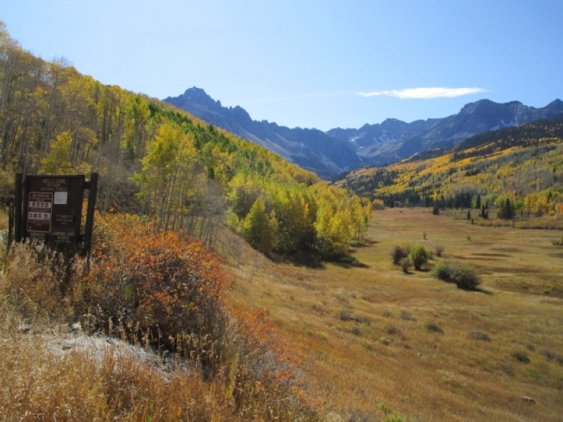
Sneffels in distance on drive in to Blue Lakes Trailhead
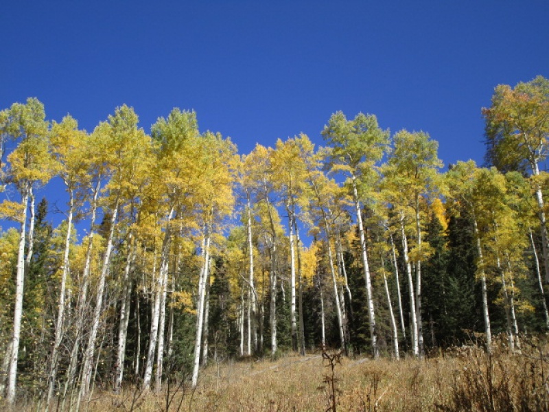
Fall Color
About 2 miles from trailhead on drive in
From the Blue Lakes trailhead, there is a fork in the trail after the first 100 yards. To the right, the popular Blue Lakes trail. To the left, the much less traveled Blaine Basin trail. It is about 3 miles to get to Blaine Basin. The trail up to the basin is excellent and easy to follow.
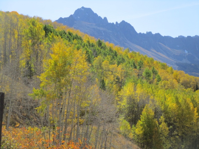
Cobalt Blue sky most of the day
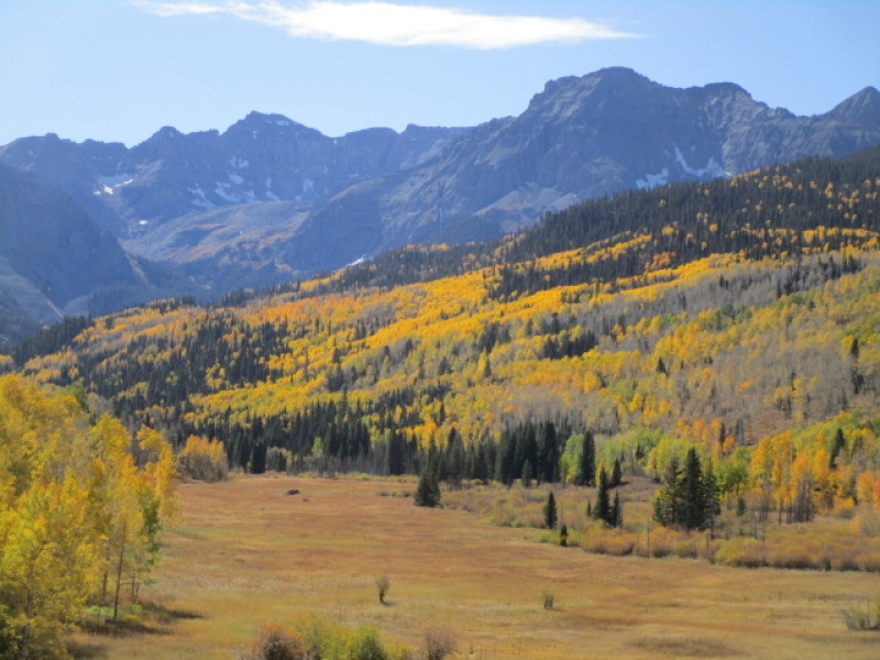
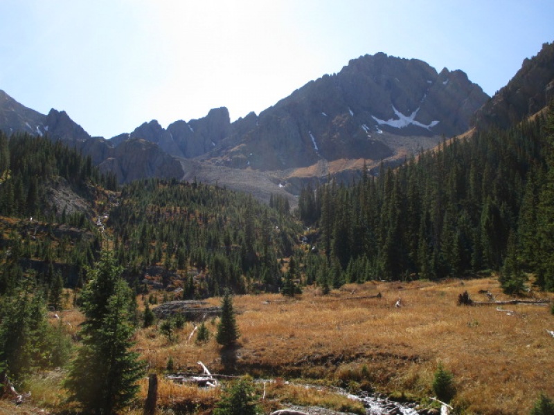
Lower Blaine Basin; Kismet is the square tower in the middle, Sneffels on the right.
Once you get into Blaine Basin, the trail continues up through the trees and eventually crosses the creek. After the creek crossing the trail is obscure, but there are some switchbacks up high on the right, leading to the Snake Couloir. But the objective is to get just high enough to make an easy traverse below the entire north face, pretty much follow the line of shadow in the previous photo, to a point below Kismet, before turning the corner and heading up toward Scree Col.
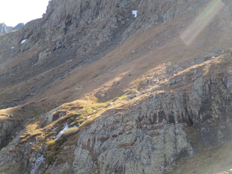
Faint trail visible traversing below the North side of Sneffels
Upper Blaine Basin
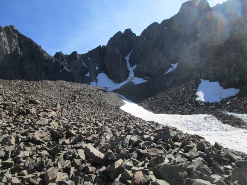
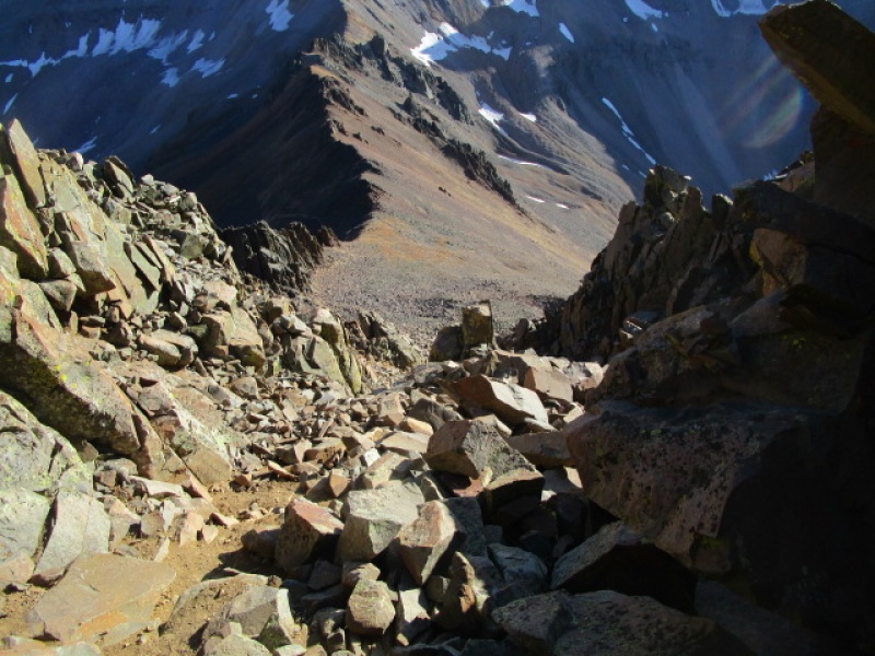
There is no obvious way out of the basin for a long time. Just work your way higher until the exit becomes obvious.
Obvious Exit
I don't want to give the impression this hike is all wine and roses. The hike from this point to the saddle ahead is a bit brutal. There is no trail and lots of loose rock. Everything moves and care must be taken both in finding a decent line and watching out for rocks rolling under foot. I burned up over an hour getting from the point in the previous photo to the saddle in view.
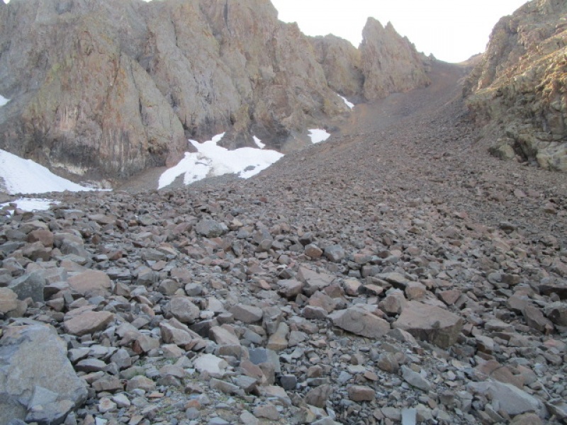
But, on the other hand, in the spring, I have used this as a descent and man it can be fun when covered in snow. I have made the descent from the summit to lower Blaine Basin in about 20 minutes! But that is another story.
This "last day of summer" hike was inspired by a weather forecast that promised a cold front blowing through with strong winds, a 40 degree change in temperature and snow. I did get some of the wind, but the sky stayed clear all day. The wind gusts came and went, and for a while it seemed like it might be windy enough to make my planned descent on the SW Ridge a bad idea. As I crawled up the rocks to Scree Col I wondered if I would just drop off the other side to reach Blue Lakes Pass or if the summit was still a good idea.
One step at a time and things came together as planned.
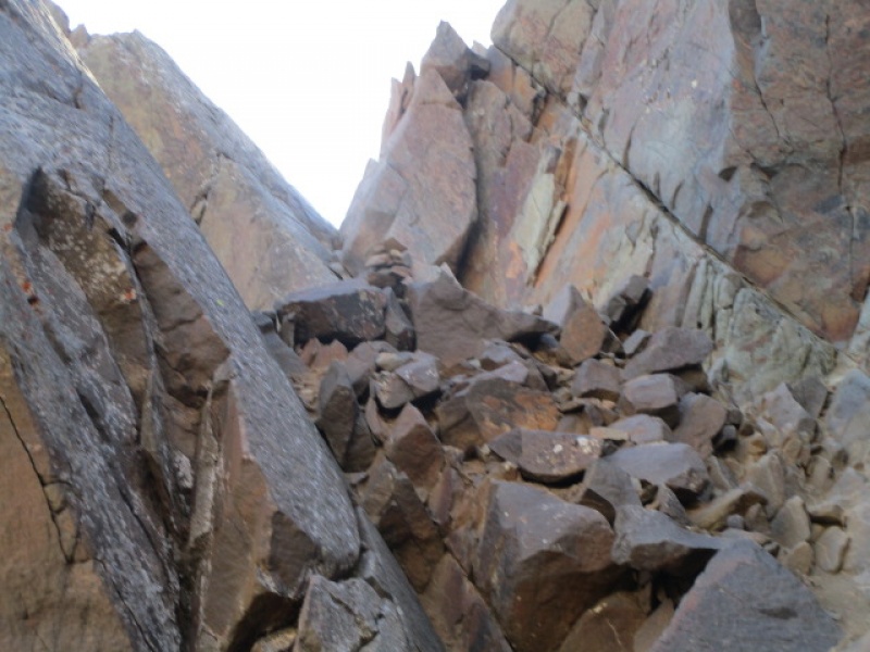
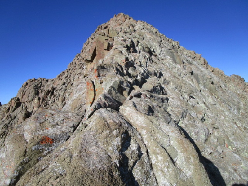
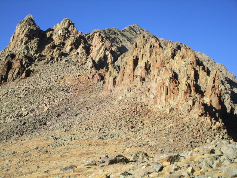
V Notch
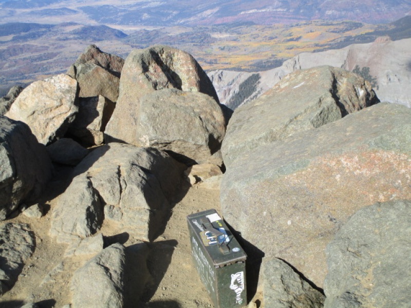
Summit
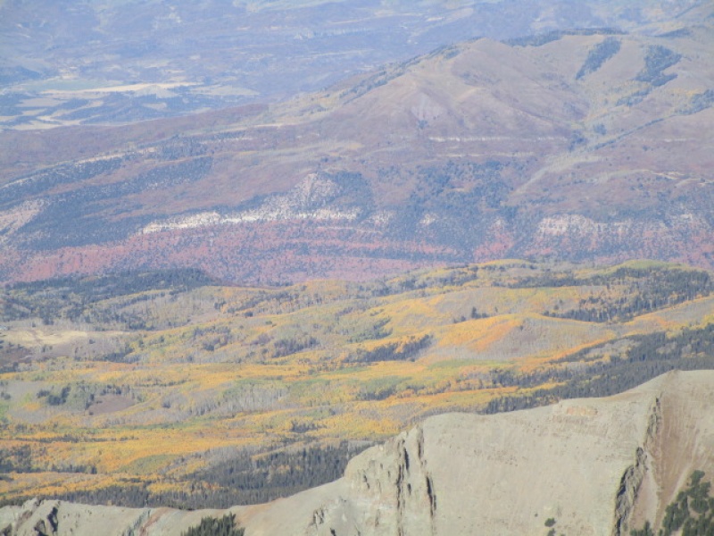
Color from Summit
The wind eased off for my short summit stay. I didn't wait around to see if the break would last. I started down the SW Ridge just a minute or two after reaching the summit.
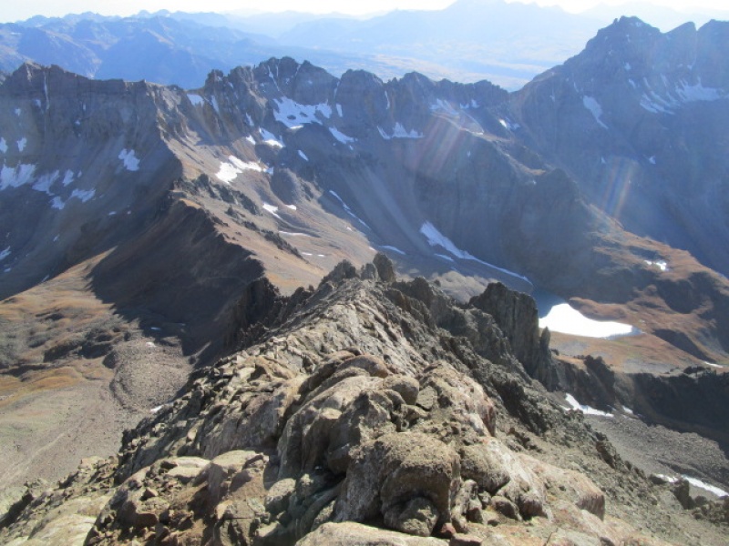
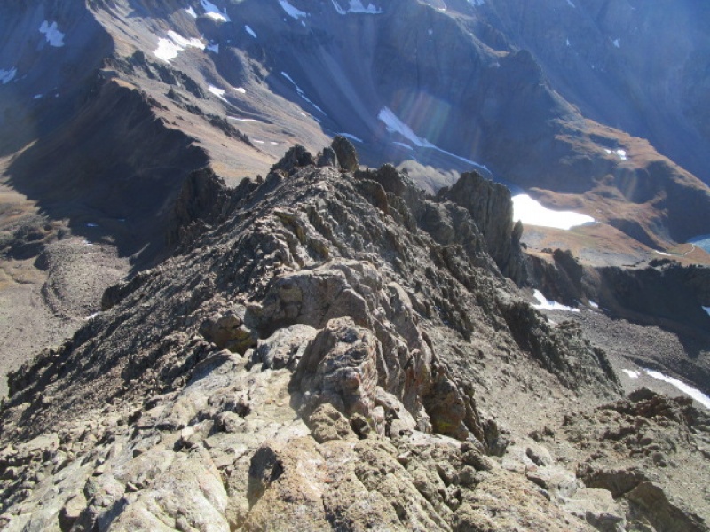
Looking down the SW Ridge
There are several ways to descend this route. I prefer staying pretty much on the crest of the ridge for most of the top 1/3 of the ridge, ignoring the community trails and cairns lower down on the side of the mountain. If you get drawn too far below the ridge the climbing gets more difficult than it has to be.
Top 1/3 of SW Ridge
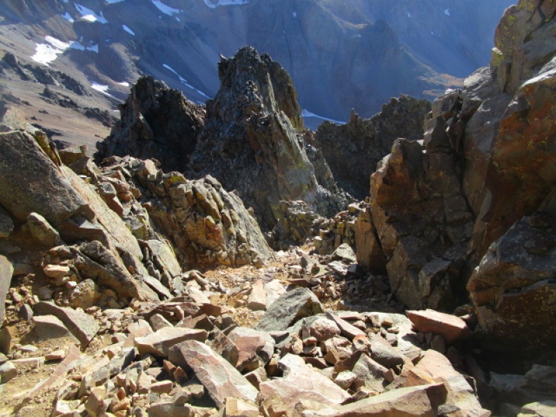
SW Ridge above the crux
SW Ridge just below the "kissing Camels"
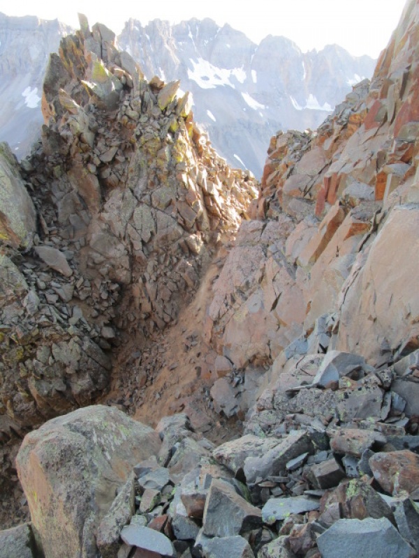
Below the Kissing Camels the ridge becomes a steep dirty gully. There is a short cliff and then an option to descend a bit to avoid more rock work or continue higher up and come upon what I consider the crux of the climb.
Crux on the descent
After climbing down this 4th class pitch for about 40', cross to the west side of the ridge for the easy walk down to Blue Lakes Pass
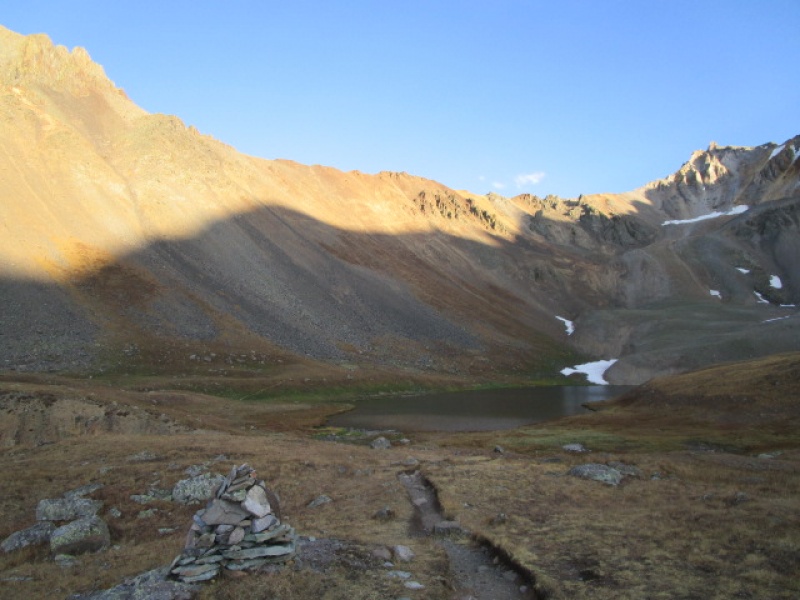
Looking down at Blue Lakes Pass
Looking back up at the SW Ridge from Blue Lakes Pass
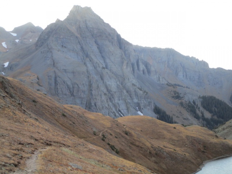
Looking back up at Blue Lakes Pass from the Upper Blue Lake
Passing by the Middle Blue Lake
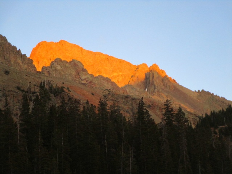
Afterglow on Sneffels
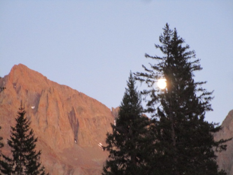
Beautiful night for a stroll!
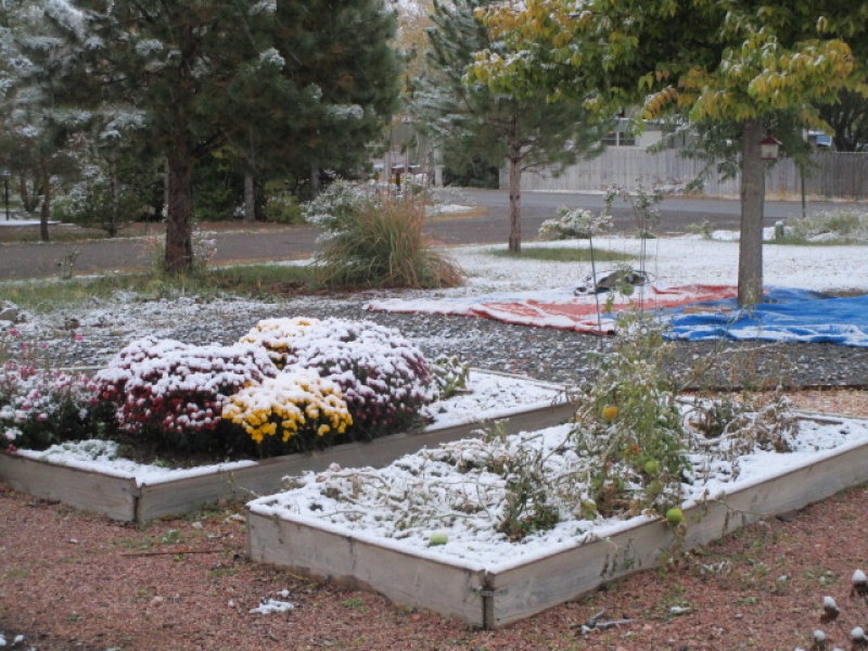
Next morning, summer is over.
Thumbnails for uploaded photos (click to open slideshow):
Great post. I am thinking about this tomorrow. Looking at maps, and tracking weather all day yesterday, I didn't see that area getting more than a dusting. Can you provide any info as if there is more? Making a 6+ hour trek, so trying to get as much info as possible.
Hard to say just how much, but I have a friend in Telluride who reports "just a dusting" and I can see Sneffels from where I live in Montrose, and it does not appear that the mountains got significant snow out of the storm. But that said, it will not all melt off by this weekend. VERY COLD. No snow on the ground at all here in town.
Thanks Wentzl, appreciate the feedback. Only thing that concerns to me is ice in the v-notch. I can deal with the cold. The wind doesn't seem to be forecasted to be that big of an issue like the past few weeks in the Sawatch, so that's a plus.
You probably know you can avoid the V Notch by climbing up the rock ridge just to the south of the standard route above Scree Col, and also, climb a little higher than the notch to find short class 4 options in a couple places. Let me know conditions you find up there.
Caution: The information contained in this report may not be accurate and should not be the only resource used in preparation for your climb. Failure to have the necessary experience, physical conditioning, supplies or equipment can result in injury or death. 14ers.com and the author(s) of this report provide no warranties, either express or implied, that the information provided is accurate or reliable. By using the information provided, you agree to indemnify and hold harmless 14ers.com and the report author(s) with respect to any claims and demands against them, including any attorney fees and expenses. Please read the 14ers.com Safety and Disclaimer pages for more information.
Please respect private property: 14ers.com supports the rights of private landowners to determine how and by whom their land will be used. In Colorado, it is your responsibility to determine if land is private and to obtain the appropriate permission before entering the property.
")
")
")
")
")
")
")
")
")
")
")
")
")
")
")
")
")
")
")
")
")
")
")


