| Report Type | Full |
| Peak(s) |
Jagged Mountain - 13,833 feet |
| Date Posted | 10/09/2019 |
| Modified | 12/31/2019 |
| Date Climbed | 10/05/2019 |
| Author | yaktoleft13 |
| Additional Members | BKS, koeffling, angry |
| Snowy Jagged |
|---|
|
This trip almost didn't happen. Rose (angry) sent a group of us a message that she was hoping to make a Jagged bid at the beginning of October. I dismissed it, knowing the logistics of getting that far back in the San Juans are prohibitively complicated, I had just transferred to a new department at work and lost my time off tenure, and I was pretty sure I was out of vacation days. We all wanted to go, but no one thought they could. Then something that's never happened before happened: I discovered I had 5 extra vacation days I didn't know I had that must be gone by the end of the year! My wonderful wife was very supportive when I very casually floated the idea of a multiday San Juan trip (though she wasn't going to be able to go....thanks nursing school). And the day was available for time off at work. That's all I needed -- I was in! Suddenly, the crew fell into the trip like dominoes. Kirsten (koeffling) was in. Brian (BKS) grinded out some 7 day work weeks to finish a couple of projects in time to be free. We had four! Our next step was figuring out logistics. We only had 3 days to work with -- a Friday, Saturday, and Sunday -- and we all needed to be back for work on Monday. Rose and Kirsten recently finished a trip up the Chicago and Ruby Basins from Purgatory and were, uh, less than keen on doing that again. Plus, adding 20 miles to a time-crunched trip didn't seem wise. Train it was! The issue was we didn't want to get back to Durango at 6:15 and Denver at 1 AM, so our plan was to catch the 11:15 train from Needleton to Silverton and have a car stashed to drive to Durango, which would save us four hours. We bought our tickets and crossed our fingers on the weather. As the forecast came into focus, there was a dusting expected (and received) Thursday night/Friday morning, but sunny and clear the rest of the weekend. Recent trip reports for the peak showed a minor amount of snow, but nothing of consequence, so we anticipated fairly clear conditions. To pass the time, Rose apparently went to Japan, hiked Mt. Fuji, and got back the day before we left? I guess everyone has their own way of making a trip come faster. Oh, and Rose is a beast. Thursday was the sloooooooooowest day at work. The work day before a big trip always crawls by. Eventually, 3:30 came around. I rushed home, stuffed everything into a a 40 liter pack (questionably big enough for a 2 1/2 day trip), picked up Brian, and met Kirsten at the Dino lots. We tag teamed driving out to Silverton, found a forest service road outside of town, and curled up under the stars, too lazy to set up a tent for 4 hours of sleep. That ended up not being a good idea, since rain/snow was forecasted for that morning and I was still surprised to I wake up at 5 AM to rain dumping on me, my clothes, and my sleeping bag. It's cool, I wanted everything wet to start the trip! We dried everything out in the car and met Rose in Silverton, where we stashed her car, got yelled at by a gas station attendant for having our lights on and shining them at the storefront, and drove to Durango. We were soon on the train and Needleton-bound! We're sorry for sleeping during your informative lecture on recent fires, train ranger lady, but sleep sounded better. 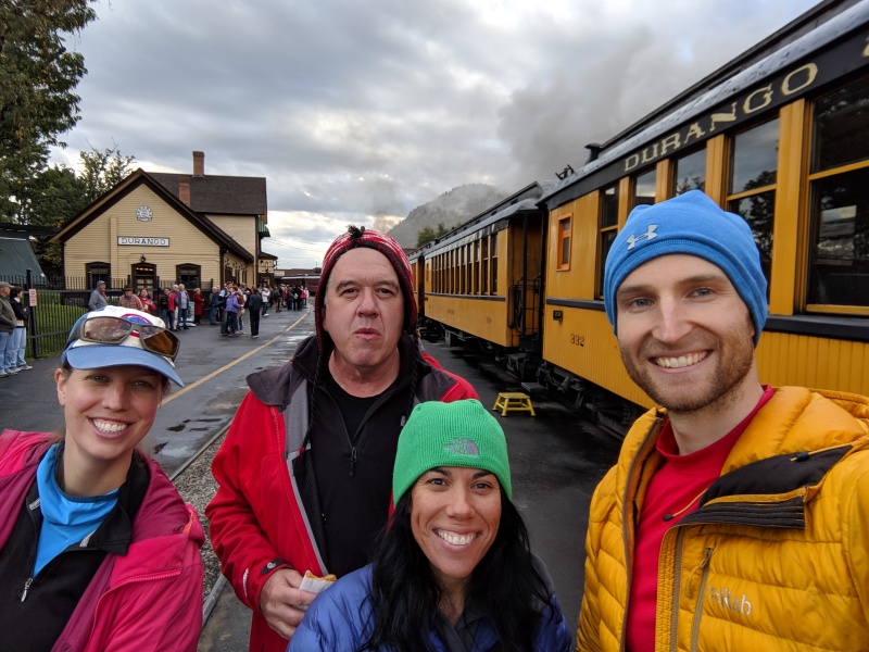
We were dropped off at 11:20 at Needleton, along with two other groups of two headed for Chicago Basin. We geared up, bid them adieu, and hung a left once over the bridge toward Noname Basin. 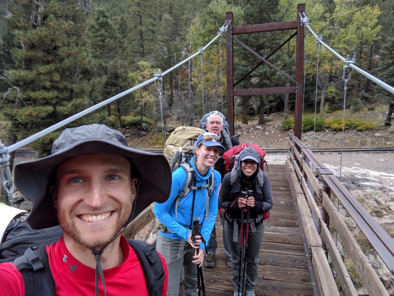
I was surprised to find a solid use trail all the way until the Noname Basin turnoff, about 3 miles after Needleton. It was loseable at times (and we certainly managed to lose it once or twelve times), but for a remote San Juan 13er it was I-25. I was even more shocked to find the trail up Noname was even better! Felt like a 14er trail at spots. 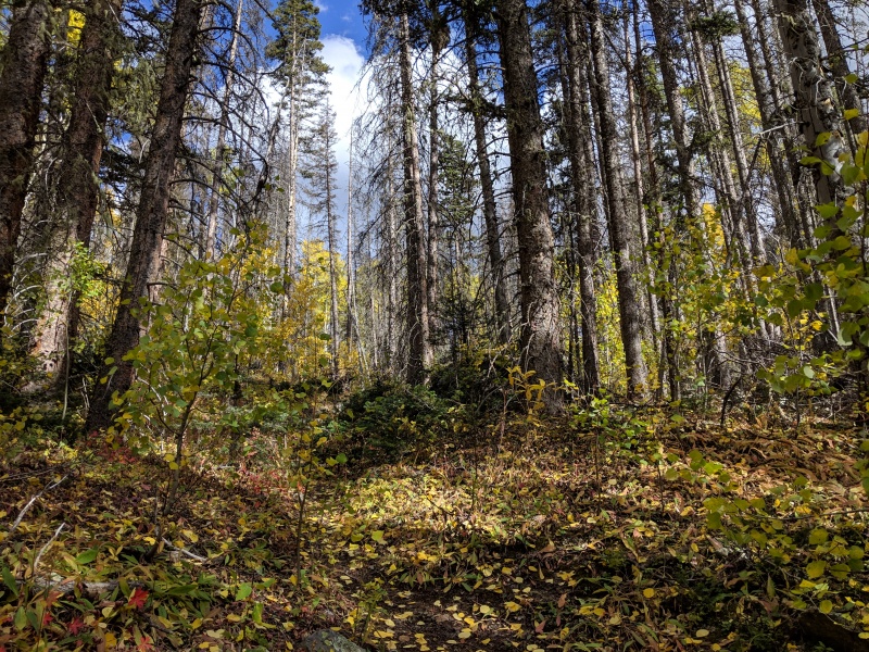

About halfway between Needleton and the Noname turnoff, we hit the infamous Water Tank Hill. From its Wikipedia page: "Water Tank Hill is a prominent 18er located 10 miles south of the town of Silverton. It is famous for its precipitous dropoffs on the north and south side, as well as rumors of bears roaming the the train tracks below. The easiest route to its summit requires 8,000 feet of elevation gain." It was a backbreaker with a full pack. And don't forget that on the Needleton side, there's a short false summit that I thought was Water Tank Hill until I got to the top and didn't see a water tank, requiring about 75 feet of gain/loss before you get to the real thing. 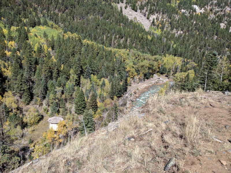
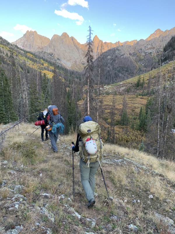
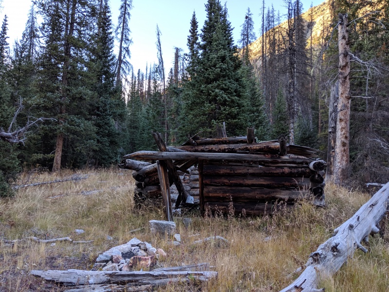
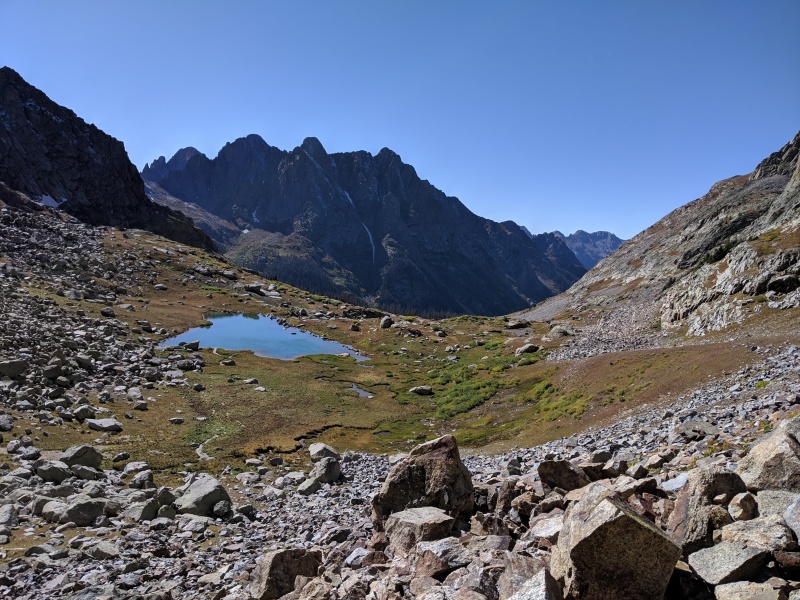
We hit the cairned turnoff for Noname Basin after about a mile more of hiking. If you hit a campsite with a large fire pit and a mining pipe set up as a bench, you went about 50 feet too far. The trail up Noname climbs steeply for the first mile or so, ascending from 8500 to 9900. Then, the trail becomes a series of meadows and benches. Flat for a mile, ascend for 400 feet, flat again, ascend again. Rinse and repeat. Thankfully, the views are mindblowing. 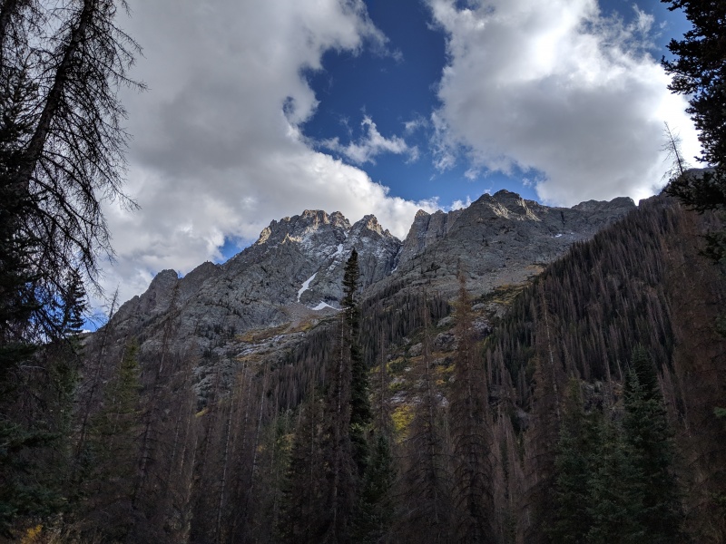
We heard there was a large avalanche path that blocked easy passage to the upper basin. We also heard that staying high to the left was the best way to go.One of those statements is very true and one is VERY false.... 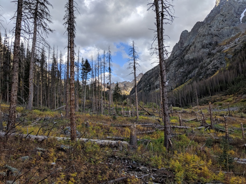

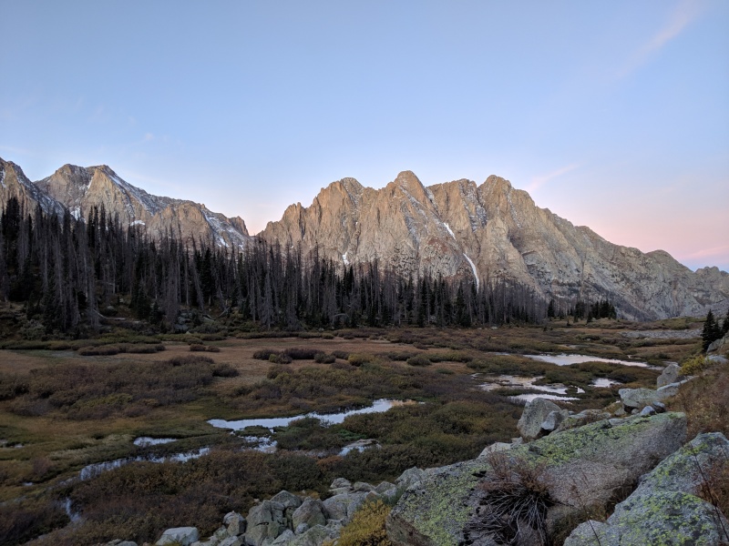
It took us about an hour and fifteen minutes to cross the avy area, which was about .2 miles of distance. There were two distinct slides separated by a patch of apparently quite hearty trees. Once through, we were left with a wild view of Knife Point and Noname Basin. A quick descent dropped us off at Jagged Cabin and the meadow where we camped for the night. 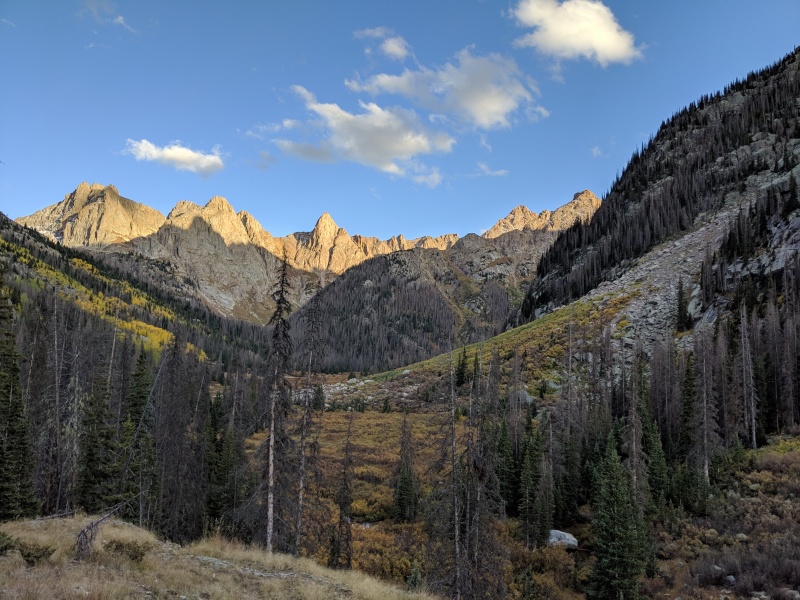
We found a flat area near the willows just off the trail at 10,750 and set up camp. We were hoping to get up a little further, but we were feeling the heavy packs and lack of sleep. We also figured the miles up to Jagged Pass would be easier with lighter packs (and they were). 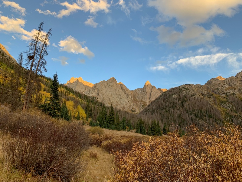
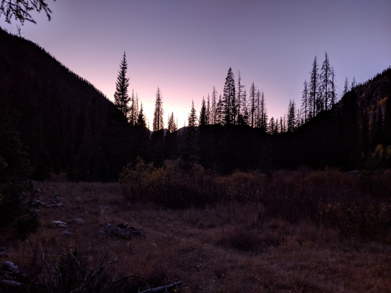
As always, the alarm went off too early. Apparently I'm a violent sleeper, because my sleeping pad went from not having a hole Thursday night to having a hole Friday night (side note: can anyone recommend a sleeping pad that doesn't immediately get a hole? I'm in the market...). It was cold that night, but all water bottles/bladders kept in the tent stayed unfrozen. We roused ourselves and hit the trail around 5:15. 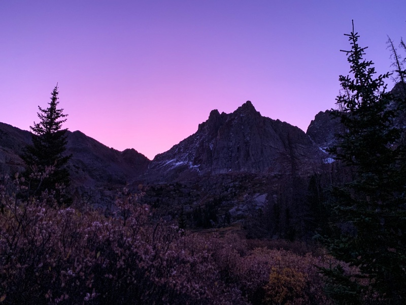

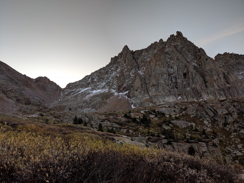
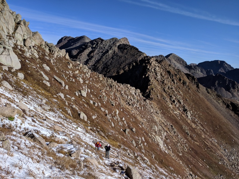
The route up to Jagged Pass was pretty straightforward. There's a cairned/followable trail most of the way. There were two spots where it gets faint, and in both sections just aim for notches in the bench above. We hit the pass around 8:15. 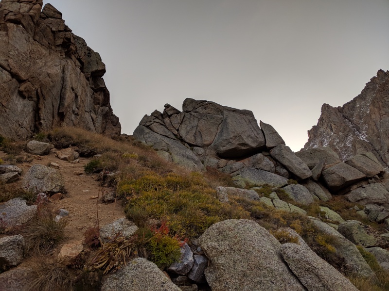
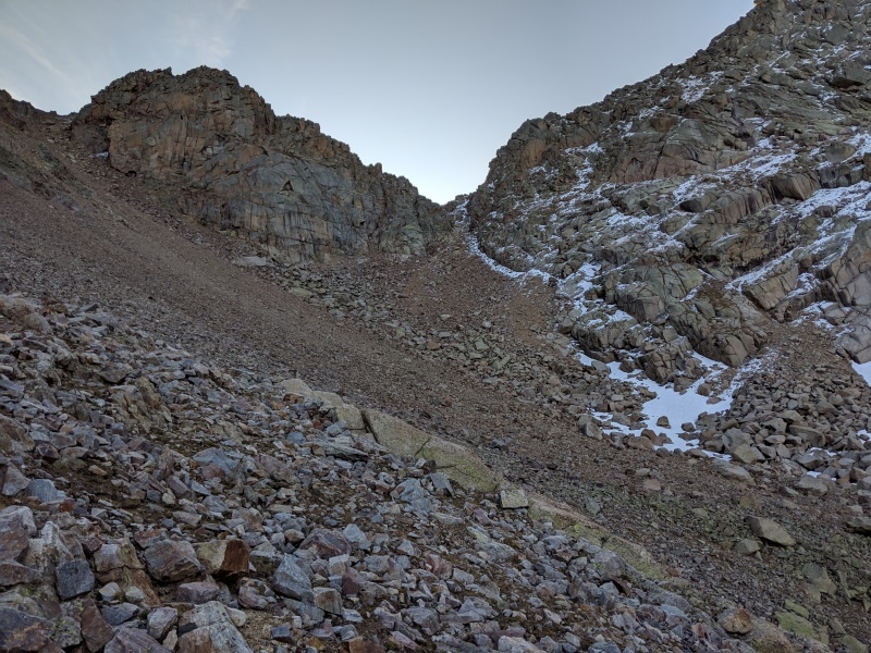
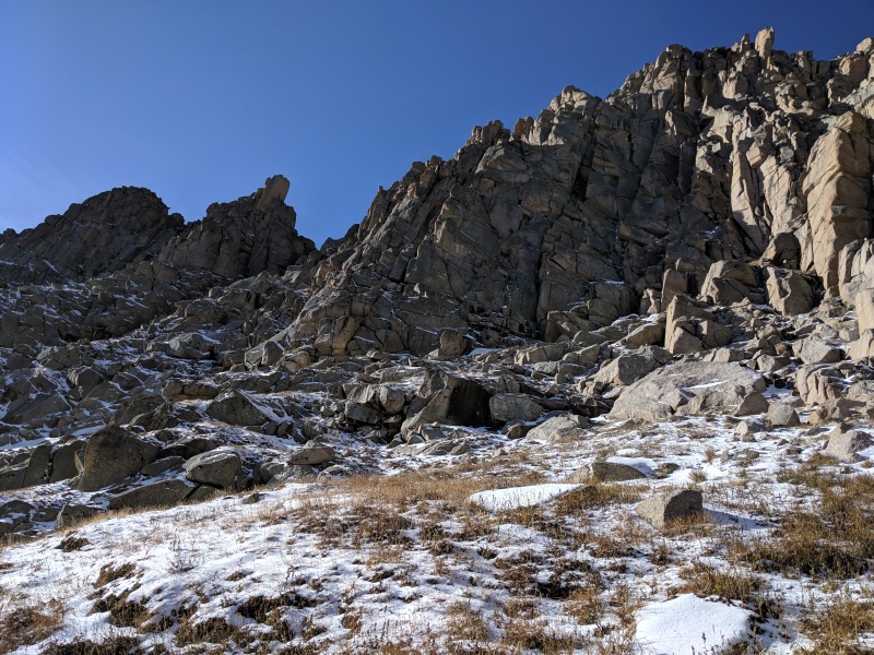
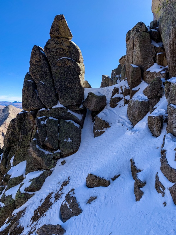
Once we hit the pass, our spirits dropped. There was more snow than we had bargained for on the face of Jagged. When had it all fallen? We had spikes and were going to give it our best effort, but this was no gimme. 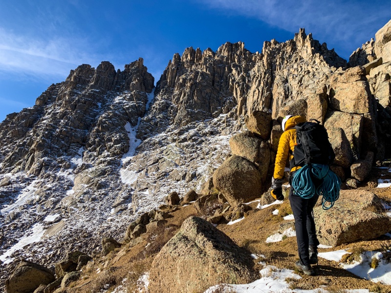
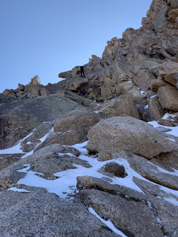
We headed off the pass and followed the use trail over toward the cliffs. Snow started about halfway across. The route cuts left under the towers and stays just right of the gully until the upper cliffs. 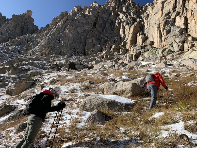
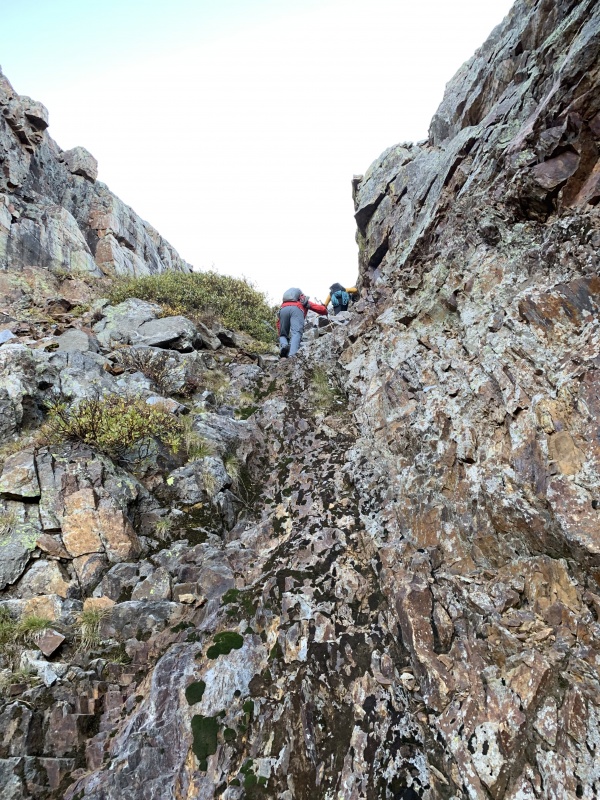
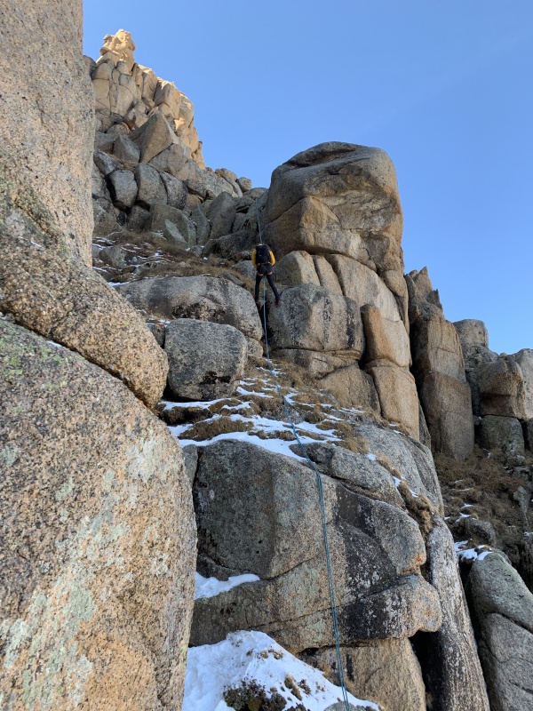
We regrouped at crux 1. I was ready to go first, spiked up, and started exploring. My first attempt to go up a short snow field to get to some easier looking rocks failed, as the snow was powdery and offered no traction. Conditions didn't seem prime for a snow climb. I figured that finding safe passage up required a route with as much bare rock as I could find. I traversed left under the difficulties until I found an access point that provided good handholds on rock up past the first anchor, though many snowy footsteps were required. I reached the first anchor without too much trouble. I felt that crux 1 was mostly class 3, with the snow possibly making a few moves harder. 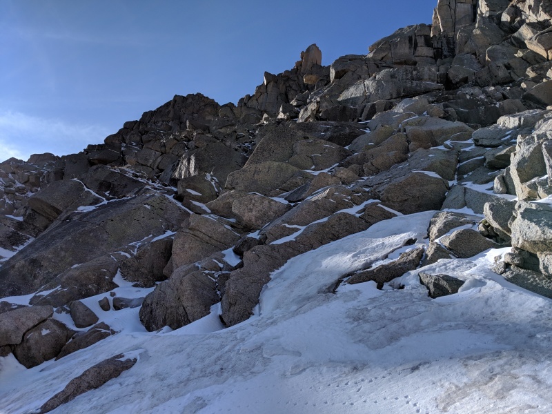
I called out to the group that the route I took was a little sketchy, but it went fine. They thought they saw a better option and wanted to give it a shot. Unfortunately, the route they chose hid some iced over slabs that made travel up or down near impossible. They searched the area, but found no good avenues to get up and were having difficulty getting down. In the meantime, I was standing on a rock above crux 1, blocked from view by the cliffs, unable to see their progress or aid their ascent/descent. They were in this predicament for the better part of an hour. They found a safe way to get down, but the true difficulty of this peak in these conditions had reared its head. Even with just 6 inches of snow, every move and every routefinding decision was complicated and consequential. We hadn't even hit the climbing portions and the mountain had already won round 1. Brian and Kirsten called up to me and said that unfortunately, they were going to retreat. Conditions weren't conducive to a summit push for them. At the time, it was difficult to hear. I felt I could summit, even with the adverse conditions. But when climbing as a group, it isn't about the individual. I respect their decision and their ability to make it in the moment. It's painful to make the call that today isn't the day, especially after the work we put in to get to this point: 10+ hours, 10+ miles, 5,000+ feet of gain. It's entirely too possible to get blinded by summit fever. But they didn't. To continue is the easy choice; turning around is the hard decision. I admire them for that. Reluctantly, I called out that I was coming down. I wasn't about to push to the summit solo in these conditions, and nothing good comes from separating from your group solo in the backcountry. An hour or so after I reached my standing block, I started the downclimb to the first anchor and prepared to rappel down. 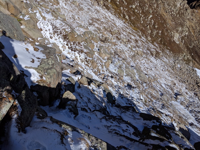
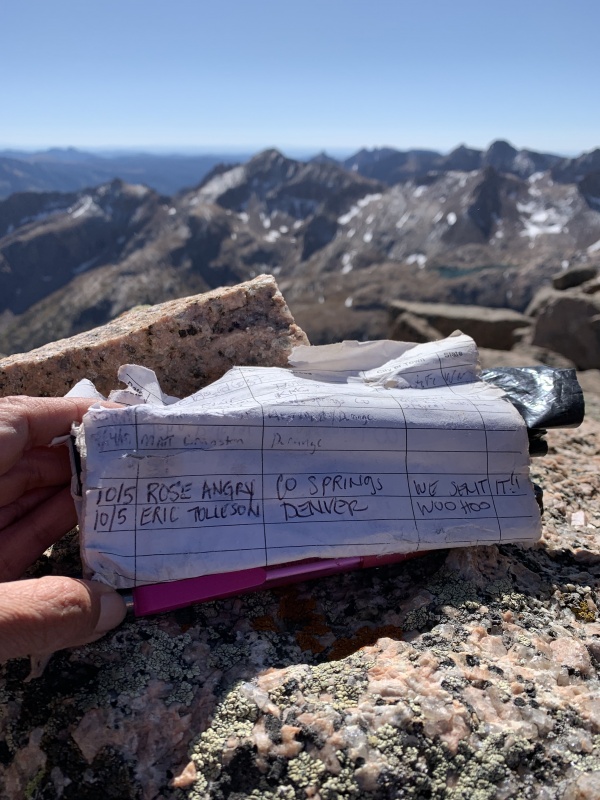
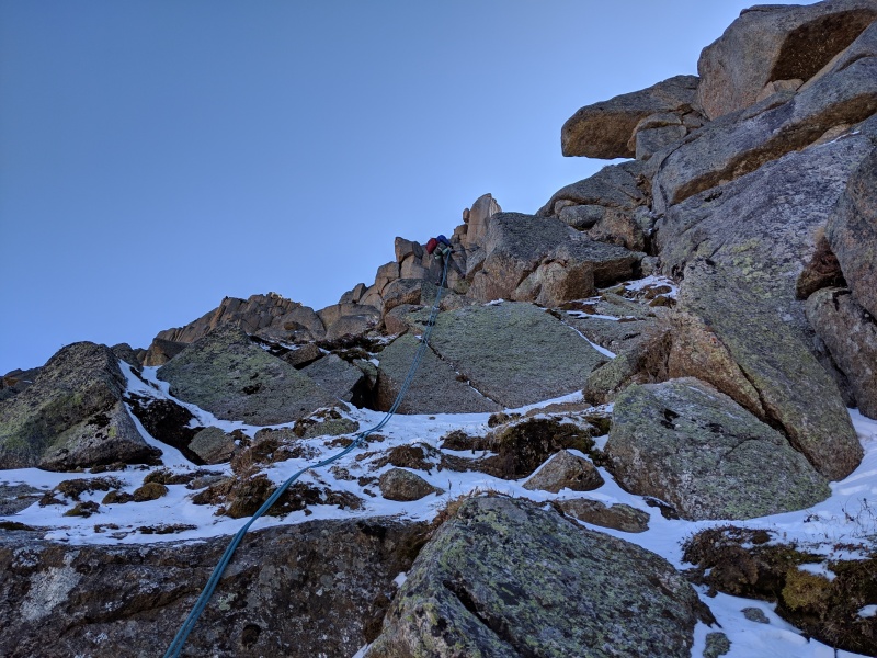
And then I heard Rose: "Eric, I'd like to try for the summit if you still do." And I did. I really did. I called out to Brian and Kirsten. They graciously encouraged Rose and I to persevere and assured us they'd be fine on the descent, and would pack up camp and meet us at the Animas River turnoff. They made it off of the icy slabs and began their descent. Rose traversed to my ascent route up crux 1 and found it went cleanly. She was shortly at my high point and the summit bid was on again! The next portion of the route hugs the right side of the couloir. After 50 or so feet of gain, there is a ramp up to the right that takes you past a cliff. We missed the ramp and instead climbed a short 5.easy chimney to reach the notch leading to crux two. Every move was made more difficult by the snow. The angled class 2+ grassy ledges, which in dry conditions offer a break between the climbing, were as tricky, if not more so, than the climbing itself. 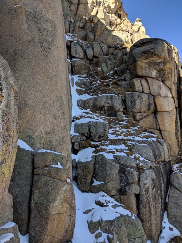
The 30 or so feet between the notch and crux 2 offered the steepest snow of the route. Luckily, the blocks above the angled snow slope had huge handholds, allowing for safe passage. Crux 2 looks easy, but we both tried and failed with a full pack. Fortunately, it's just a couple of feet off of the (snowy and sloping) ground. It's an awkward stem move to get a high right foot. In dry conditions, we probably wouldn't have thought twice, but with the chockstone snow-covered and while wearing microspikes, it took some effort. After our initial attempts, we took our backpacks off and pulled the move first try, then handed packs up. From there, we ascended more snowcovered grassy ledges to reach crux 3 a short distance away. 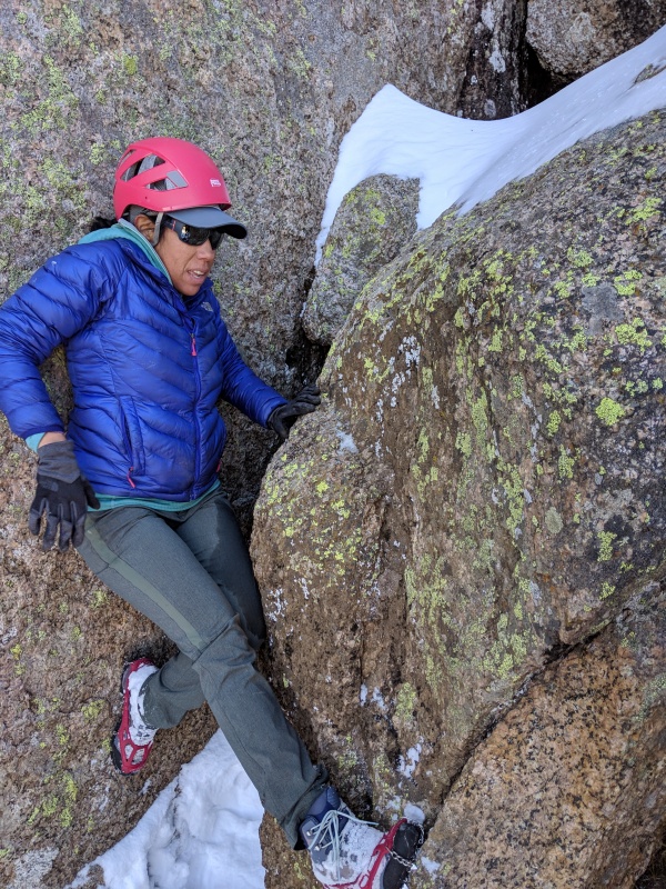
Crux 3 went quickly for both of us. It's a chimney about 25 feet high. The first 15 feet felt like class 4 and is less than vertical. The last 10 feet felt like 5.easy and steepened to vertical. Certainly another section that was made more difficult by having to wear microspikes. 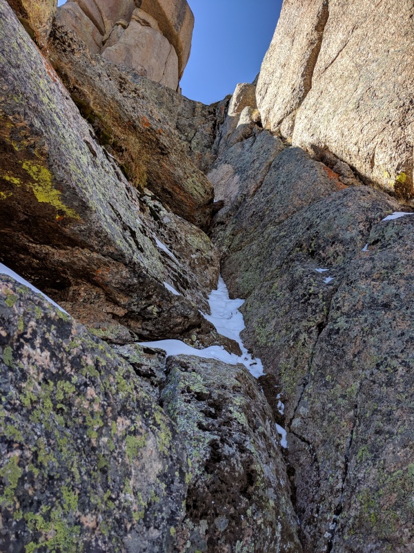
Crux 3 deposits you just below the notch to cross over to the south side of the mountain. We passed the rap anchor and scrambled more snowy ledges to reach the crossover. Once on the south side, there was no more snow and were finally able to get the sharp pointy things off our boots. 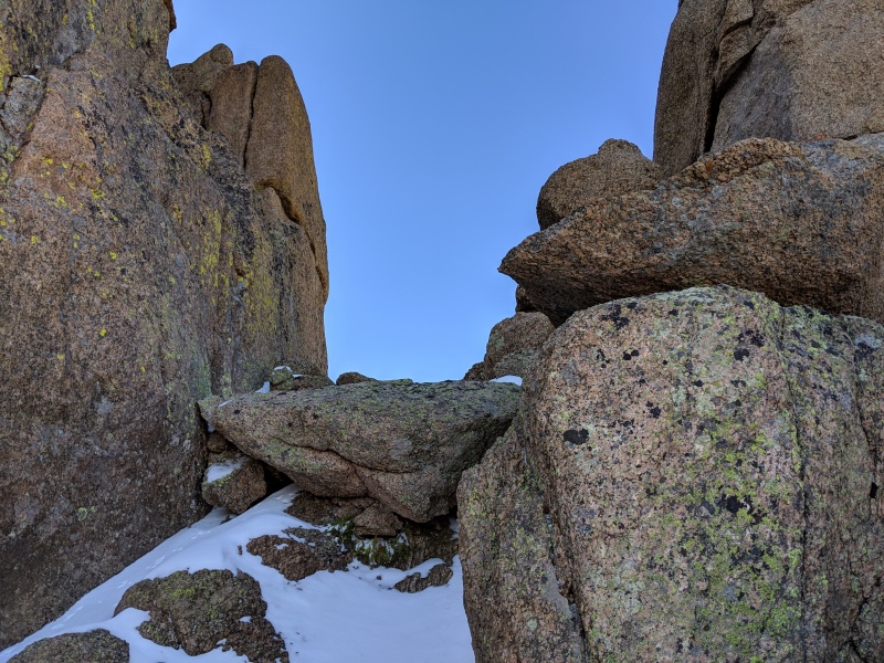
The traverse to the chockstone chimney on the south side is short. The distance between the notch and the chockstone chimney is probably less than 150 feet. It's a little airy in spots, but nothing really made us pause too much. With snow on the ledges, that would be a different story. 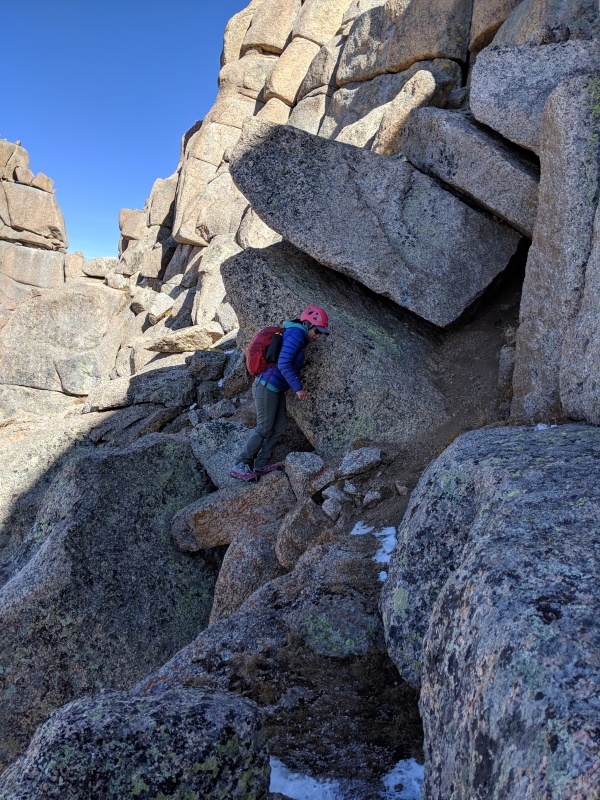
The chockstone chimney was the unknown for us. There was plenty of beta, but no consistent rating attached to it that I found. We'd brought climbing shoes just in case it proved tough, but when we got there, I decided to take a look in boots and see how it felt. The first 15 feet were class three. The chockstone overhangs the upper portion of the gully by 3 or 4 feet, requiring you to stem out toward the entrance of the chimney. A move or two up from the class 3 section allows you to grab the smaller chockstone, and once you have a hand on that it's pretty much over. The first time up I climbed it with a pack and a rope attached to the bottom and it felt tough, maybe 5.4 or 5. The second time I climbed it (after getting a rope stuck on the rappel) I didn't have the rope attached to my pack getting in my way and it felt 5.easy. So split the difference, call it 5.2 or 3? It's tougher if you're shorter. At my height (6 ft), I only needed to stem up one step in order to reach the chockstone. Rose, on the other hand, had to make a couple more moves. 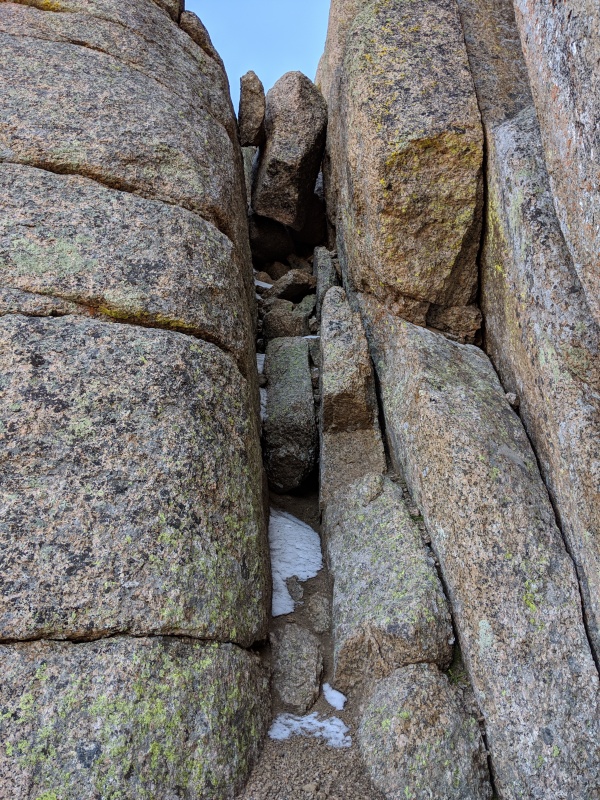
Once above the chimney, there was some short, relatively easy scrambling, and suddenly there's the summit! 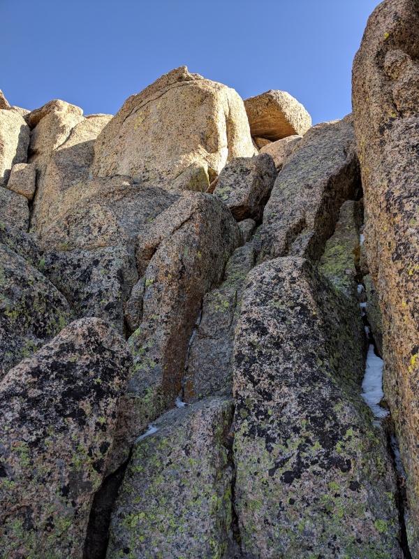
After eating almost an entire package of sour gummi worms, it was time to head down. We both agreed that given the snow conditions, rappelling was safer than downclimbing. We rapped 5 times on the way down: the chockstone chimney, crux 3, crux 2, some class 2+/3 terrain down to the top of crux 1, and the entirety of crux 1. All of the anchors we found were good, with the exception of the crux 1 anchor, which I reinforced. A couple of notes: do not rap directly down the chockstone chimney, as the rope will get stuck. Instead, use the same anchor and rap back toward the ledge you crossed to get to the base of the chockstone chimney. The rap is obvious once you get to the anchor. We had a 70 meter rope, and used probably 50 or 60 meters of it to do a double strand rap down crux 2. The raps down to the crux 1 anchor and down crux 1 also required most of the rope. A 30 meter won't cut it, though a 60 likely would. We had no issues pulling the rope after the first rap. 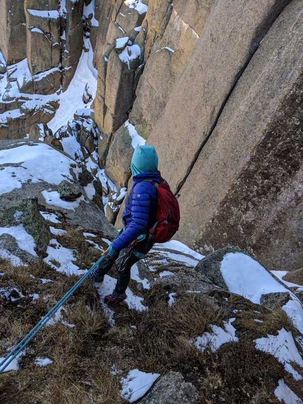
We finally reached the bottom of crux 1, where we found our prior path and our stashed poles. We meandered back to the pass, knowing the hardest part was behind us but that we had a lot of hiking still to go. 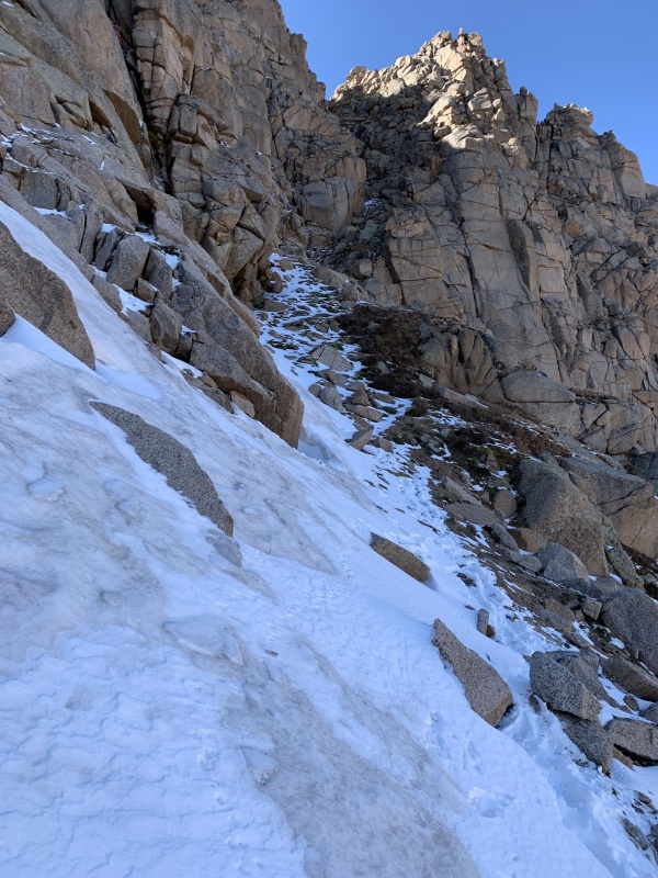
We hiked back down to our high camp from the night before and were surprised to find Brian and Kirsten waiting for us! They elected to wait, rather than descend to our planned camp site for the night at the turnoff to Noname next to the Animas River, to ensure that we were safe. I can't say enough about the quality of partners they are. They took off once they knew we were okay and raced down to set up camp, arriving in less than two and a half hours. Rose and I recovered for a few minutes before taking a much more leisurely pace down the trail, taking about four hours. We found a much better route through the avy sections on the way down. The normal trail is visible at most times through the debris, and the sections where it's not generally have workarounds that lead you around the difficulties and back to the trail. If you have a gps, do your best to stay on the trail the whole time and your life will be better. We cut 30+ minutes off of our time through the avy section on the way down versus the way up. 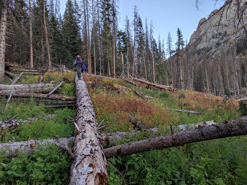
Our pace slowed to a crawl, as the heavy packs and the day's effort caught up with us. We stumbled down the trail, dreading every fallen tree and steep dirt section, eventually reaching our low camp at 9:15. Brian and Kirsten already had the tents set up and a fire going! Did I mention they're angels? Rose shared some apple cider she'd brought and we all relaxed after an exhausting day. 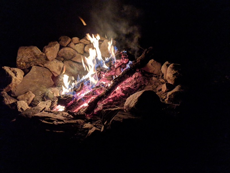
We packed up and left camp in the morning at 7:15. Our hike out was smooth and we made it to Needleton at 9:30, where we had friends made with us by a visitor to one of the cabins at the bridge. I laid by the river and dozed until the train came to whisk us away to barbecue-land (well, to Silverton, then using Rose's stashed car to drive to Durango, then to barbecue-land). This was a doozy of a trip; we were go-go-go from Thursday at 6 PM when we left Denver until 9 PM Sunday when we made it back home. I can't thank Rose, Kirsten, and Brian enough for being the best hiking partners one could ask for. Without each and every one of them, no one summits. It was one of those weekends that though only 3 days, it felt like 2 weeks. This is one I'm not going to forget. Thumbnails for uploaded photos (click to open slideshow): ")
")
")
")
")
")
")
")
")
")
")
")
")
")
")
")
")
")
")
")
")
")
")
")
")
")
")
")
")
")
")
")
")
")
")
")
")
")
")
")
")
")
")
")
")
")
")
")
")
|
| Comments or Questions | ||||||||||||||||||||||||||||||
|---|---|---|---|---|---|---|---|---|---|---|---|---|---|---|---|---|---|---|---|---|---|---|---|---|---|---|---|---|---|---|
|
Caution: The information contained in this report may not be accurate and should not be the only resource used in preparation for your climb. Failure to have the necessary experience, physical conditioning, supplies or equipment can result in injury or death. 14ers.com and the author(s) of this report provide no warranties, either express or implied, that the information provided is accurate or reliable. By using the information provided, you agree to indemnify and hold harmless 14ers.com and the report author(s) with respect to any claims and demands against them, including any attorney fees and expenses. Please read the 14ers.com Safety and Disclaimer pages for more information.
Please respect private property: 14ers.com supports the rights of private landowners to determine how and by whom their land will be used. In Colorado, it is your responsibility to determine if land is private and to obtain the appropriate permission before entering the property.