| Report Type | Full |
| Peak(s) |
Unnamed 13541 - 13,541 feet Twining Peak - 13,721 feet Unnamed 13556 - 13,556 feet Unnamed 13006 - 13,006 feet Geissler Mountain East - 13,381 feet Geissler Mountain West - 13,308 feet "Igloo Peak" - 13,050 feet |
| Date Posted | 10/07/2019 |
| Date Climbed | 09/25/2019 |
| Author | supranihilest |
| The Adventures of Lost Man and Mountain Boy | |||||||||||||||||||||||||||||||||||||||||||||
|---|---|---|---|---|---|---|---|---|---|---|---|---|---|---|---|---|---|---|---|---|---|---|---|---|---|---|---|---|---|---|---|---|---|---|---|---|---|---|---|---|---|---|---|---|---|
|
In early June I climbed "Igloo Peak" and attempted "Mountain Boy Peak" south of Independence Pass. There was still a ton of snow and I didn't bring the required snow equipment for "Mountain Boy", opting to wear just trail runners and go light. The trip was mostly a scouting operation for Grizzly Peak's Grizzly Couloir anyway, so that was fine. I got some beta on "Mountain Boy" and could come back later. I knew there was a bunch of 13ers north of the pass as well but didn't know anything about them, so I'd come back for them as well. I'd had a plan in mind to do the northern five 13ers - Point 13,500, Twining Peak, Point 13,545, and Geissler Mountain East/West - in a loop, maybe throwing in a spur out to Point 13,001, Colorado's lowest official 13er. I could also return to try and tag "Mountain Boy" which I did end up attempting (and giving up on) a second time. The route from Twining until the pass between Independence Lake and Lost Man Lake and potentially all of Point 13,001 looked like fun scrambles and I'd want to get them in prior to Independence Pass closing for the winter. From Independence Pass at 12,095 feet it was a short hike on a mostly good trail to the first 13er of the day, Point 13,500. It took me less than an hour to reach, and I was exhausted from a bad night's sleep. 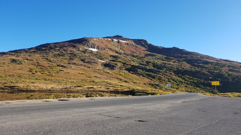
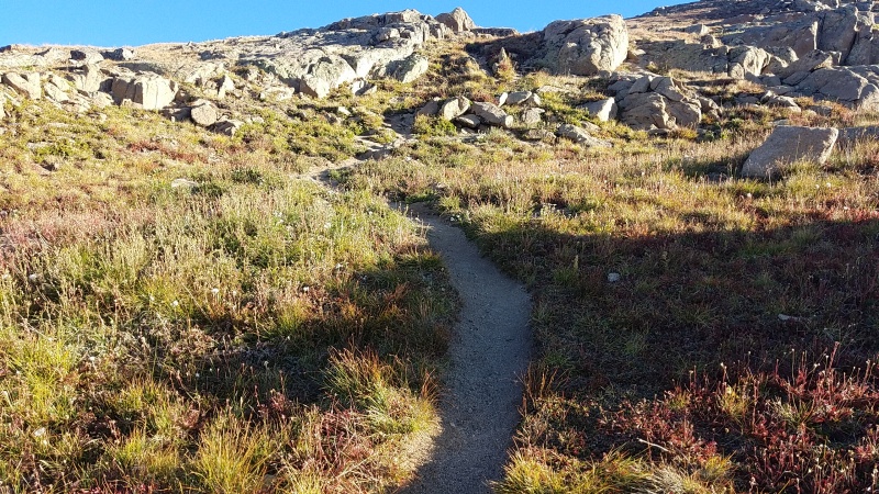
There was a tiny amount of Class 2 at the very summit of 13,500, and the rest was Class 1 trail. 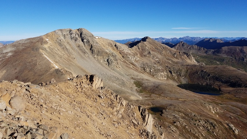
There was a big drop in elevation over to Twining but it was all on easy Class 2 terrain. 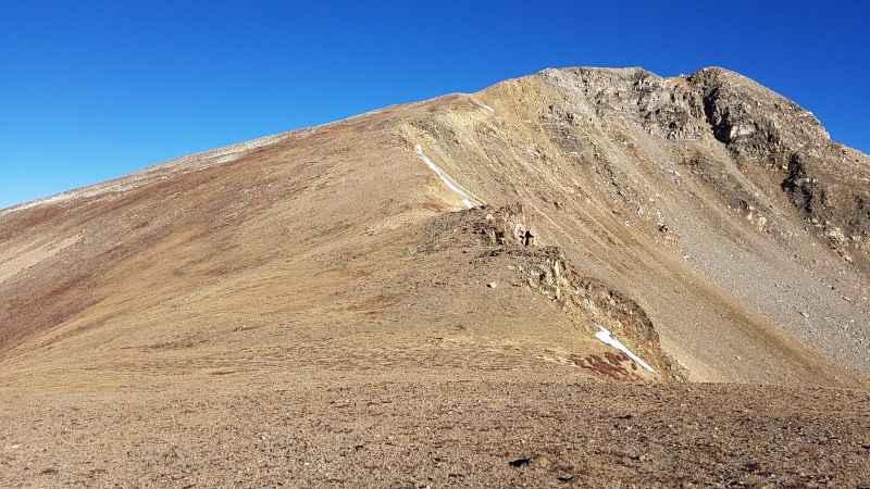
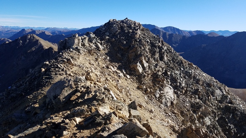
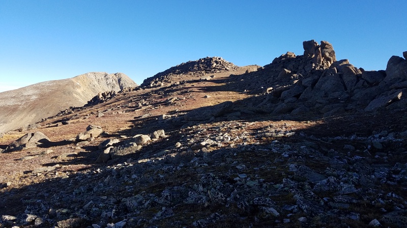
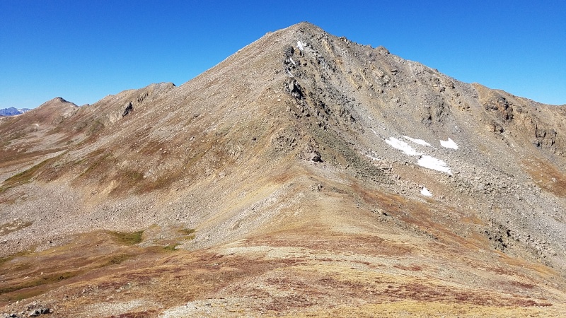
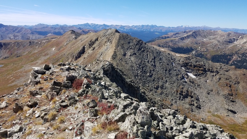
From Twining over to Point 13,545 things got a lot more interesting. 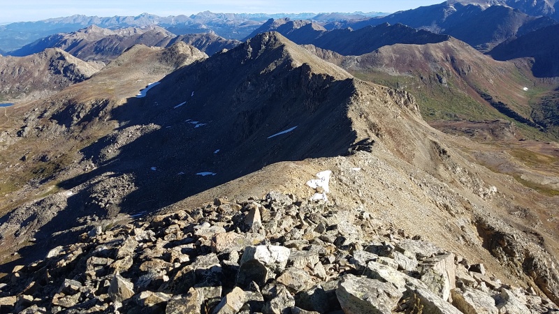
Dropping down to the saddle between Twining and 13,545 was easy enough, no scrambling at all. From that point the difficulties of the ridge became more clear. 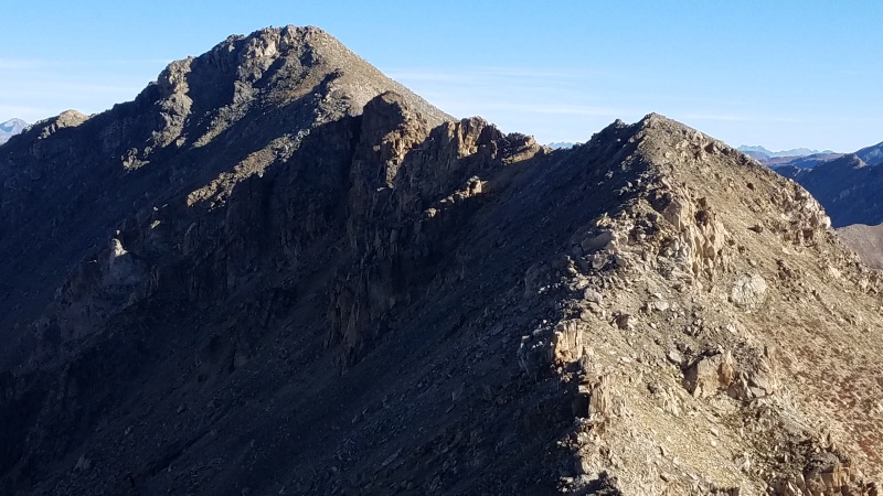
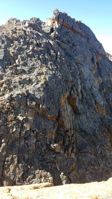
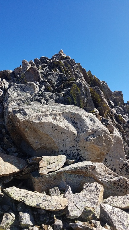
The ridge narrowed dramatically after ascending to the first point past the saddle. 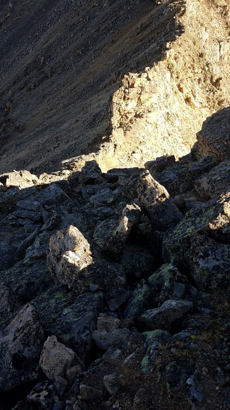
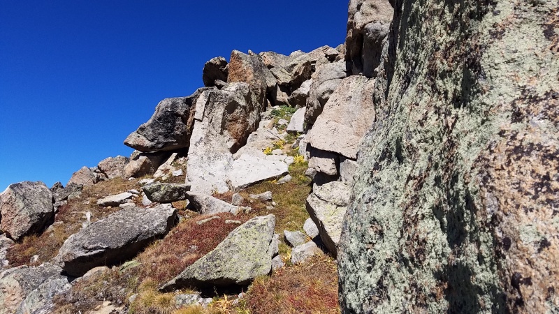
A bunch of towers followed by short, open sections ran the length of the ridge. There were a lot more towers to climb around than it first appeared. 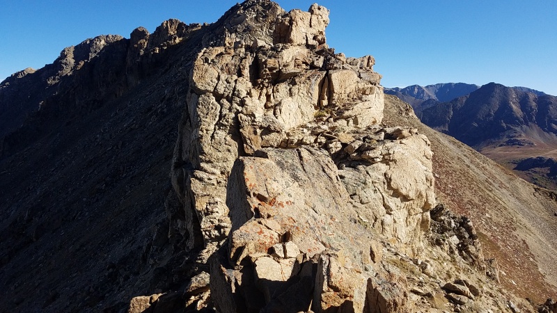
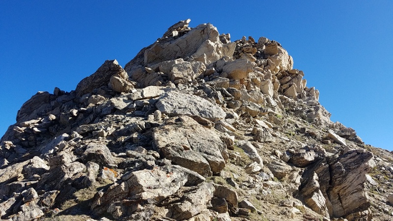
As I crept along the ridge it felt like the numerous towers would never end. Some I went over, others I went around either side on. Finally only two more remained and the summit of Point 13,545 was within reach. 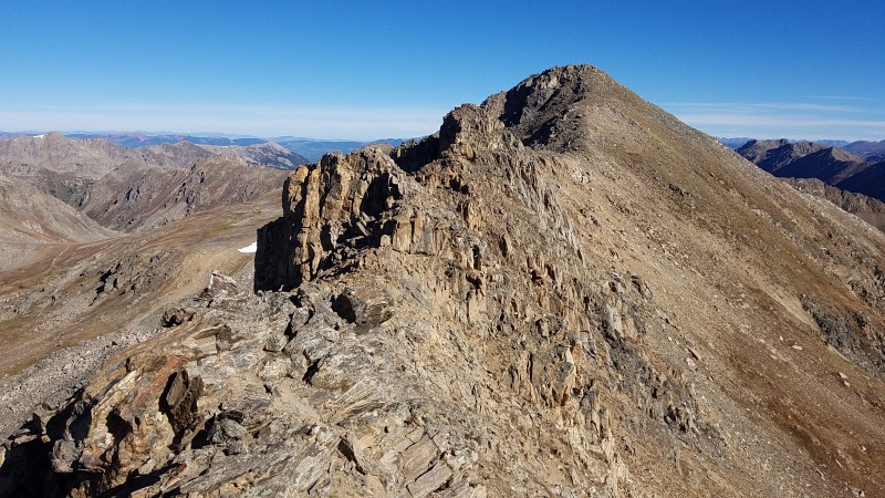
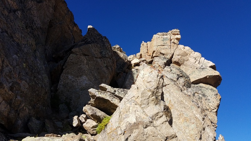
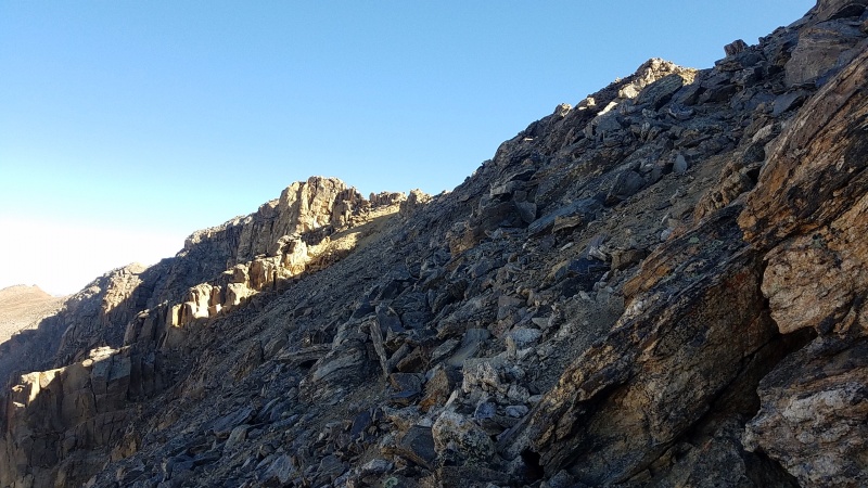
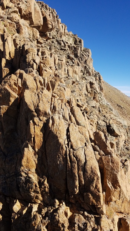
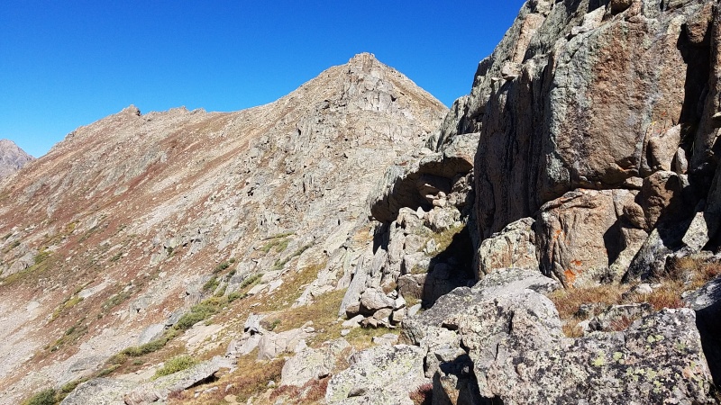
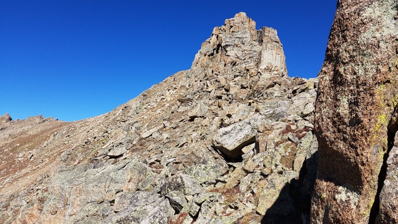
The second to last tower I went straight up and straight down the backside on friable Class 3 slabs. 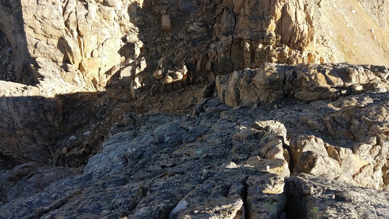
Finally there was only one tower to go and while it looked like a doozy it was easily bypassed on its eastern side. 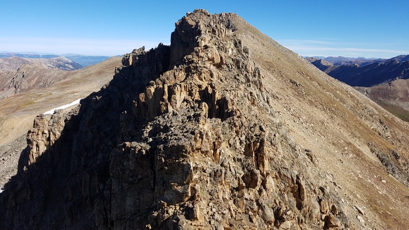
From the top the remaining ridge to Point 13,545 eased off in difficulty to a mere hike. 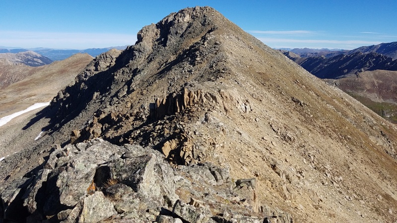
The short distance to 13,545 went quickly and I surveyed the next peak, Point 13,001 - Colorado's lowest 13er. It was a long ways off down a nasty looking ridge with few or no good escapes, but I knew it went, so down across more Class 3 scampering I went! 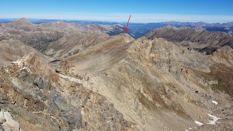

At various times the ridge would widen and narrow; the narrow sections were usually the hairiest since they'd either require cat feet to climb directly over, or balancy and exposed moves on the sides of the ridge. Rotten rock need not be mentioned. With exception of the one slab down climb show above this ridge was easily the crux of the day. 
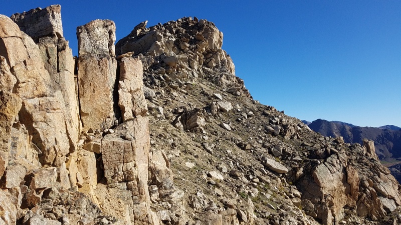
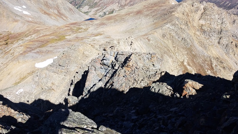
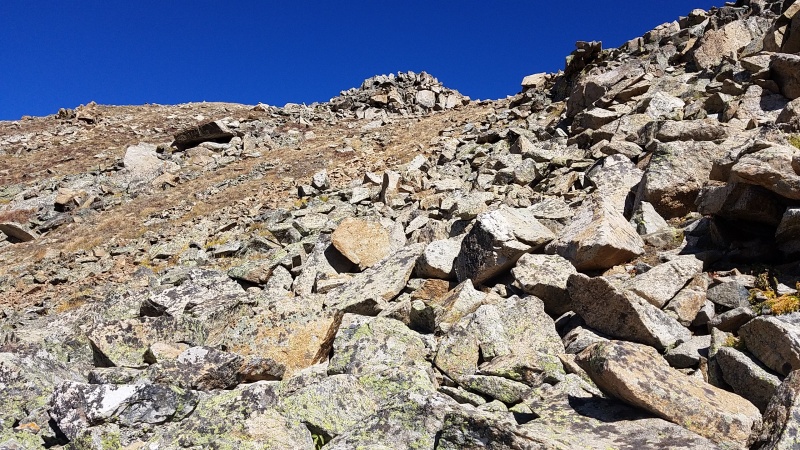
Point 13,545's north ridge was not as long as its south ridge from Twining, and I was quickly dumped onto nice tundra after perhaps half an hour of scrambling. I didn't like the looks of the next point to the north which wasn't a 13er anyway, so I went over to the saddle south of Lost Man Lake and into that basin. 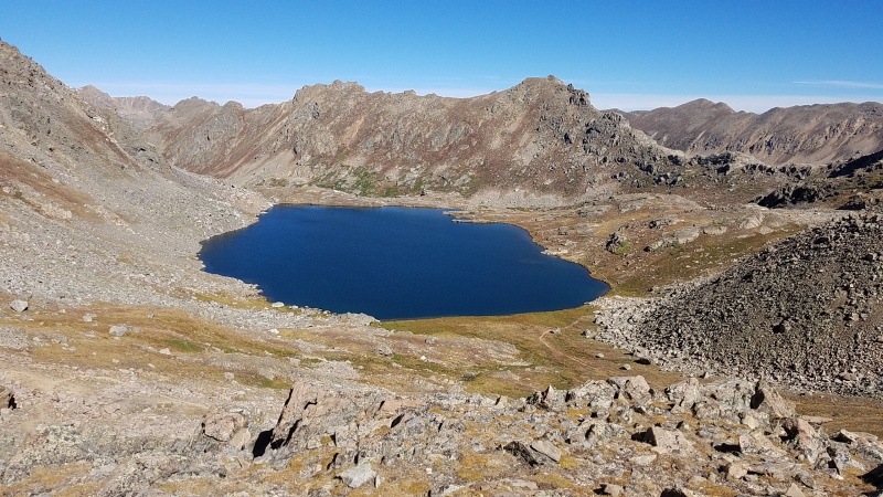
Adding 13,001 to my day was a significant detour but it was really the best way I thought to do it. Adding it to the Billy traverse of the Williams Mountains chain to the west might not be doable after an already huge day; same with adding it as a spur to a circle tour of Marten Creek to the northeast. Since I'd already done the most difficult part of the day and had tons of time left I decided to go for it instead of orphan it. This ended up being an excellent choice because I thought it was the best peak of the day! I hiked down the switchbacks to the lake and past, then up a steep hillside to one of numerous saddles between large granite blocks and slabs on the ridge. From here the remainder of the route looked highly improbable but I knew there were weaknesses. 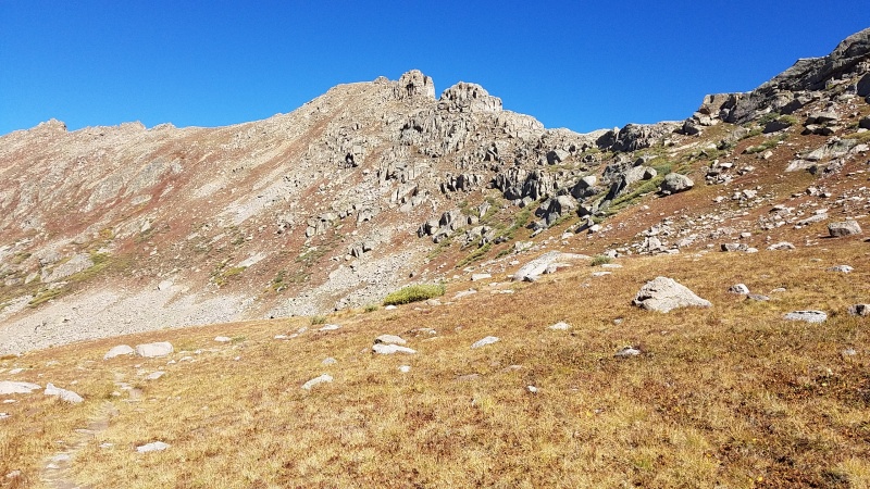
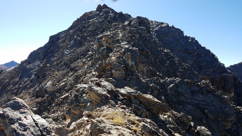
I crossed over a few of the large blocks in the flats of the ridge then started steeply uphill. By sticking to the south side of the ridge I was able to ascend without any trouble, only coming across a single Class 2+ section that was one or two moves at worst. The large rock was all stable on the ridge, and while there was exposure, it wasn't extreme. Still, some of the climbing required care since a slip could be bad. If this route was wet I would have avoided it, what with slick, steep grass and mud and all. 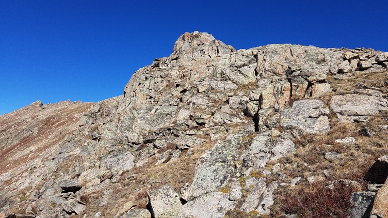
While the scrambling on either side of Point 13,545 was exciting it was Point 13,001 that was the real gem of this trip. It's one of the few 13ers I've done (so far) that I'd do again. It was funky and interesting and as usual I had it entirely to myself. 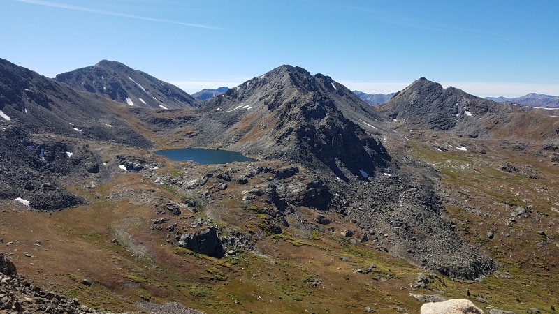
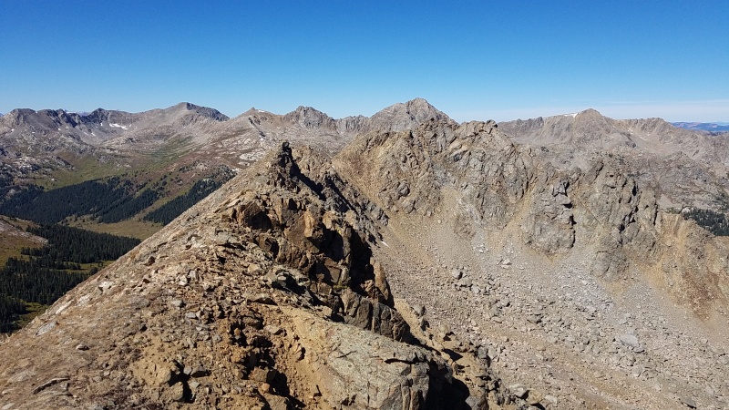
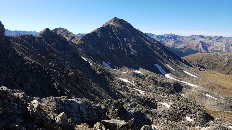
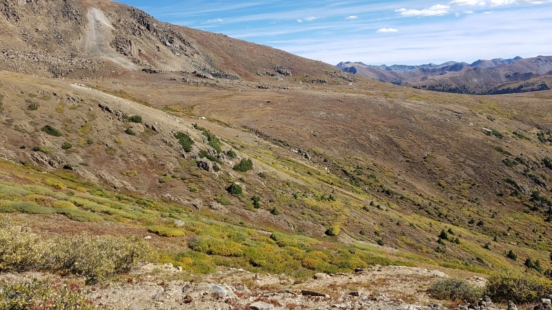
After taking a couple of photos I quickly descended the way I came up, hiked back past Lost Man Lake and up to the saddle where I faced Geissler Mountain East's east ridge. There was nothing to worry about on the ridge, with it going at easy but loose Class 2. From Geissler East I got a good view of the ridges abreast Point 13,545 and the remaining hike over to slightly shorter Geissler Mountain West. 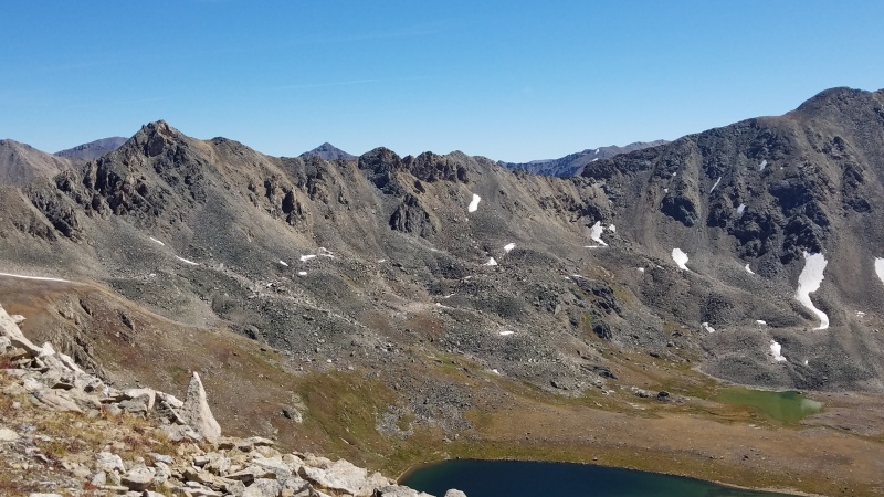
The descent down Geissler East and up Geissler West was not really noteworthy. There was perhaps a touch of Class 2+ descending Geissler East but I could have avoided it if I wasn't taking the most direct route I could find. Geissler West was also occasional Class 2+ and a little steeper than its higher neighbor. The same loose rock covered both peaks. While ascending Geissler West I ran into an older gentleman from Frisco out doing one of his favorite loops - picking up both Geisslers. He was 74 and was having the time of his life! I hope when I'm 74 (only 42 years to go!) I'm still getting after it like he is. 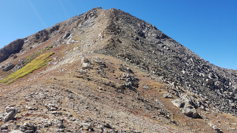
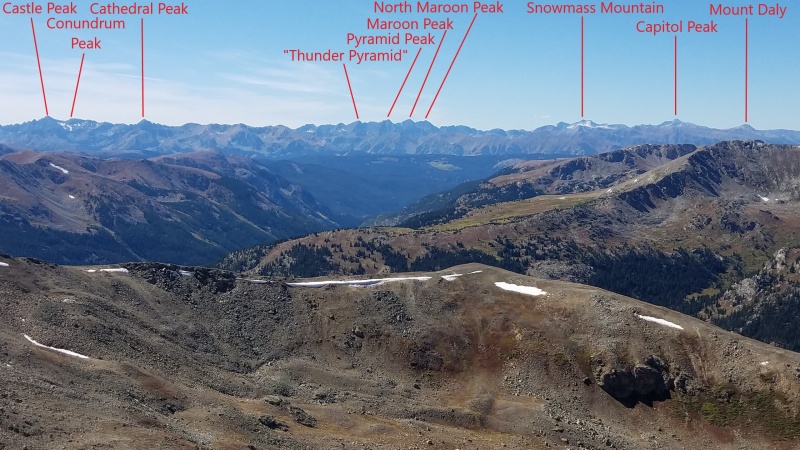
The views of the Williams Mountains were even better here, and the views of the Elk were similarly great. 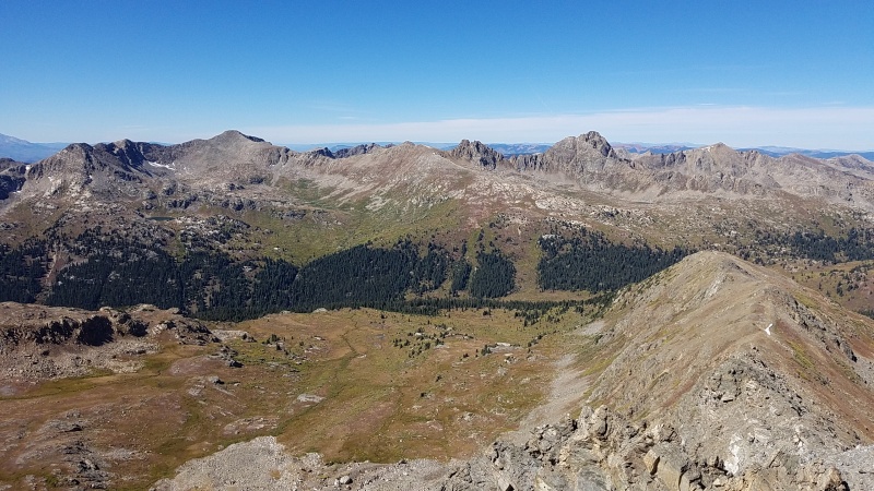
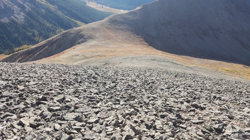
I quickly returned to the saddle between the two Geisslers and began traversing obliquely across a talus slope which would curve into the open tundra then to a shelf that would take me back to Independence Pass. The pass was a long ways away, much farther than expected. 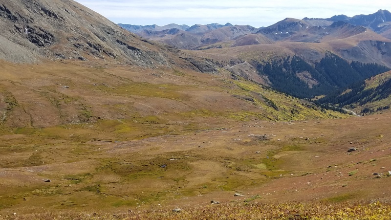
I traipsed through the tundra and briefly took the Independence Lake trail before turning off back onto the tundra and towards the pass. I encountered a few obstacles along the way: one, distance, as mentioned; two, there was a couple of ups and downs through broken cliffs with various ways through to the other side. 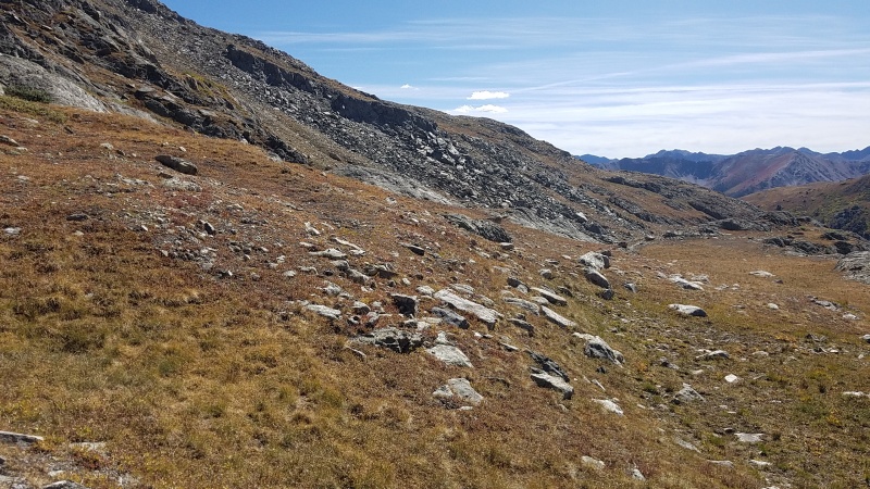
Eventually the parking area and the road became apparent, but instead of going back to my car I cut towards "Igloo Peak". 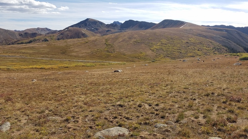
The hike to "Igloo" is extremely easy - there's an excellent trail the whole way, some of which is an old road - but it's crazy far away. Still, the distance went quick (even with a very brief Class 2 section) due to how good and gradual the trail was. And then the dinner plating begins. I remembered this stuff from before. It might be the worst dinner plating I've ever experienced. 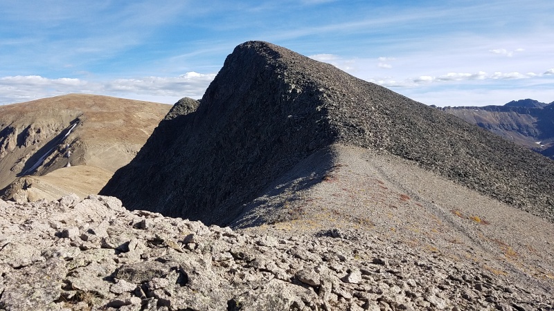
While the summit is easily attainable, getting to "Mountain Boy" is another story. The direct ridge is a death trap. Other trip reports that make mention of the ridge all either started up it and turned back or avoided the entire house of cards entirely. The route thus lies in going south across the stuff, which is heinous to even hike on. Not particularly dangerous, mind you, just one million percent suck. 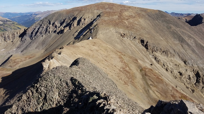
I have no idea what the hike is like from this point. Maybe "Mountain Boy" itself is in better shape. The color of the rock certainly suggests it's at least something different. I turned around at this point, not wanting to waste another couple of hours swimming in this stuff, and reascended (which is actually slightly easier than going down it) to "Igloo". I'd come back for "Mountain Boy" another time; third time's the charm, right? (Doing a bit more research after the fact, I could cut through Mountain Boy Park (the basin "Igloo" and "Mountain Boy" encircle) to the "Igloo"/"MB" saddle, which is probably the easiest way. Two other possibilities are to take either "MB"'s northeast ridge, which looks like it might be awful, or the basin west of "Igloo" from the Independence ghost town, saving myself most of the dinner plates. Of course I could still do the southern route but that sounds like Type 2.5 fun at best, so no thanks.) 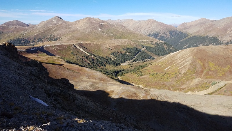
I still don't consider this trip out to "Igloo" to be a waste, even though I'd already done it once. Now I know it sucks just as much and even more without snow, so that's good. I thus returned to the pass, running the downhill sections in quick fashion. Six more new 13ers, tons of awesome scrambling, and some more beta? That's a good day! StatisticsClimbers: Ben Feinstein (myself)
Splits:
Thumbnails for uploaded photos (click to open slideshow): ")
")
")
")
")
")
")
")
")
")
")
")
")
")
")
")
")
")
")
")
")
")
")
")
")
")
")
")
")
")
")
")
")
")
")
")
")
")
")
")
")
")
")
")
")
")
")
")
")
")
|
| Comments or Questions | ||||||||||||
|---|---|---|---|---|---|---|---|---|---|---|---|---|
|
Caution: The information contained in this report may not be accurate and should not be the only resource used in preparation for your climb. Failure to have the necessary experience, physical conditioning, supplies or equipment can result in injury or death. 14ers.com and the author(s) of this report provide no warranties, either express or implied, that the information provided is accurate or reliable. By using the information provided, you agree to indemnify and hold harmless 14ers.com and the report author(s) with respect to any claims and demands against them, including any attorney fees and expenses. Please read the 14ers.com Safety and Disclaimer pages for more information.
Please respect private property: 14ers.com supports the rights of private landowners to determine how and by whom their land will be used. In Colorado, it is your responsibility to determine if land is private and to obtain the appropriate permission before entering the property.


