Download Agreement, Release, and Acknowledgement of Risk:
You (the person requesting this file download) fully understand mountain climbing ("Activity") involves risks and dangers of serious bodily injury, including permanent disability, paralysis, and death ("Risks") and you fully accept and assume all such risks and all responsibility for losses, costs, and damages you incur as a result of your participation in this Activity.
You acknowledge that information in the file you have chosen to download may not be accurate and may contain errors. You agree to assume all risks when using this information and agree to release and discharge 14ers.com, 14ers Inc. and the author(s) of such information (collectively, the "Released Parties").
You hereby discharge the Released Parties from all damages, actions, claims and liabilities of any nature, specifically including, but not limited to, damages, actions, claims and liabilities arising from or related to the negligence of the Released Parties. You further agree to indemnify, hold harmless and defend 14ers.com, 14ers Inc. and each of the other Released Parties from and against any loss, damage, liability and expense, including costs and attorney fees, incurred by 14ers.com, 14ers Inc. or any of the other Released Parties as a result of you using information provided on the 14ers.com or 14ers Inc. websites.
You have read this agreement, fully understand its terms and intend it to be a complete and unconditional release of all liability to the greatest extent allowed by law and agree that if any portion of this agreement is held to be invalid the balance, notwithstanding, shall continue in full force and effect.
By clicking "OK" you agree to these terms. If you DO NOT agree, click "Cancel"...
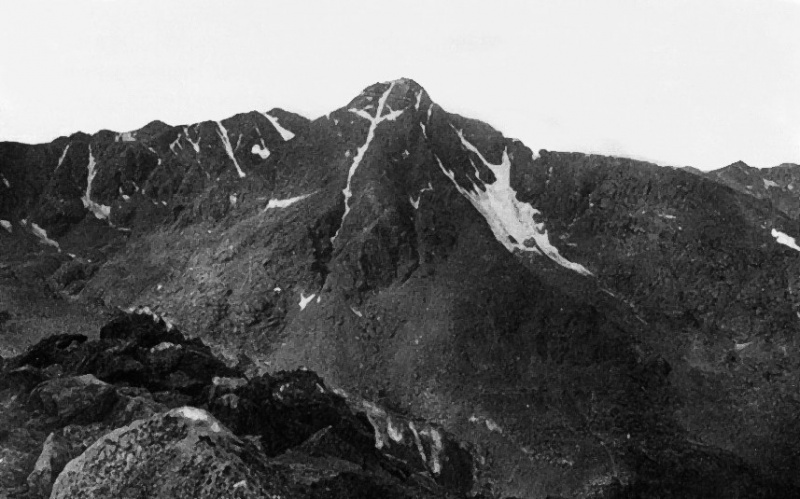
Halo Ridge is a long ridge hike that's the best way to see the Cross couloir on its namesake peak, Mount of the Holy Cross. The standard north ridge of Holy Cross does get a brief view from the trail that descends from Half Moon Pass to East Cross Creek drainage but nothing like the view you get from Notch Mountain. Everyone knows the one.
Taken by William Henry Jackson in 1873 this photo led to Christian pilgrims visiting the mountain. Various infrastructure such as the Notch Mountain Shelter was created in response.
Thus one reason to do Halo Ridge, which circumscribes the Bowl of Tears cirque: get some views of the Cross couloir, which I hadn't been able to do on my one previous climb of Holy Cross since I'd gone up the couloir itself! And of course the other reason, tag more 13ers. We all know that was the one, true reason. I would be adding Notch Mountain's true northern summit to the hike as well, as Halo Ridge can be done without it. The Notch Mountain Shelter is on the southern side of the notch and adding Notch Mountain and the crossing of the notch would add some Class 2+ scrambling and route finding to an otherwise purely Class 2 route.
Note: I'll be referring to Mount of the Holy Cross simply as Holy Cross, and Holy Cross Ridge as Holy Cross Ridge to save the mouthful each time.
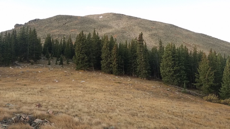
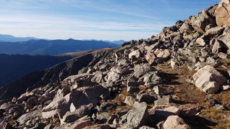
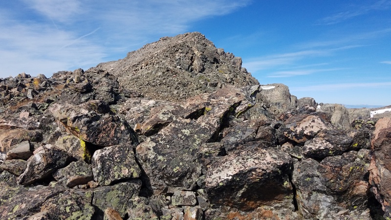
The hike starts off easy enough on an excellent trail from Half Moon Pass Trailhead to Half Moon Pass. It took me about 40 minutes to ascend to the pass where the work of Halo Ridge begins. Notch Mountain's north ridge from the pass is steep, blocky granite and gneiss talus and a number of small bumps and false summits along the way.
From the pass. Note the faint trail which disappears into the talus past the trees.
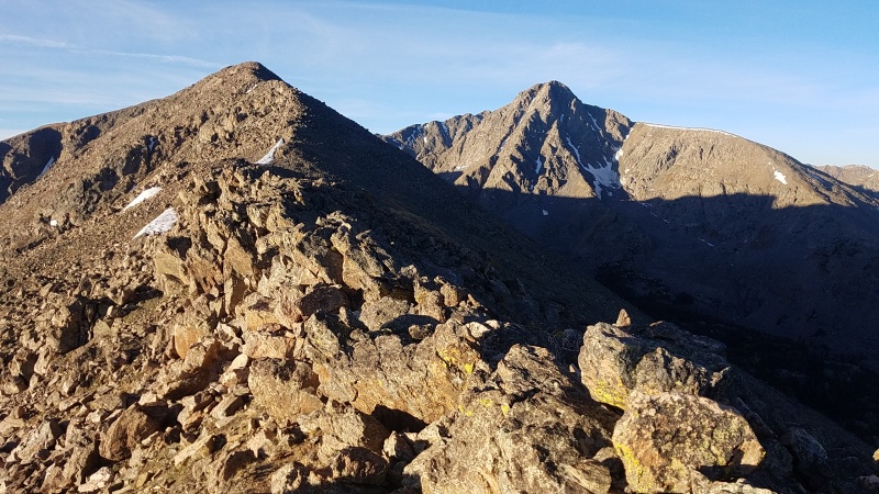
The views of Holy Cross as I ascended the ridge were stunning. The couloir was mostly dry but it stands out even so.
Pretty hard to miss the couloir splitting the face.The entire route is this kind of terrain from the second I stepped off the trail all the way to the summit of Holy Cross.
Eventually after hiking up the undulating ridge I got my first view of the Notch Mountain Shelter to the south.
More a pixel than a building at this point.
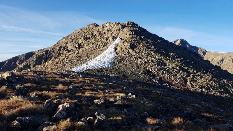
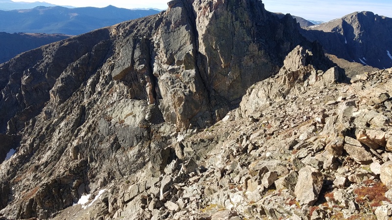
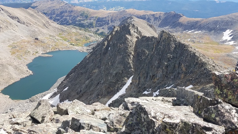
It wasn't until the summit that I finally got a view of the notch itself and just what that entailed. It looked intimidating but I knew it wouldn't be that bad.
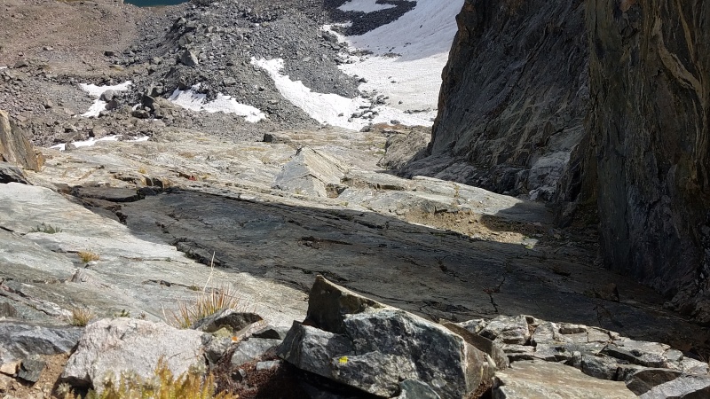
Down the ridge and right into the shadows.There's a very narrow ledge between the white and gray rock in the center-left of this photo that I thought might just go, but I didn't investigate. It might be worth a trip back just for fun.
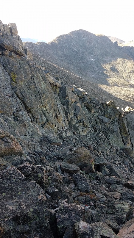
The route from the summit down to the notch consisted of a bunch of broken ledges and ramps, at least by the way I took it. I went down below the ridge crest on the eastern side until I got cliffed out before returning to the ridge crest via some short Class 3 slabs and more jumbled ledges. I probably should have just stayed on the crest but this didn't cost me any time and was probably more fun than just sticking to the talus.
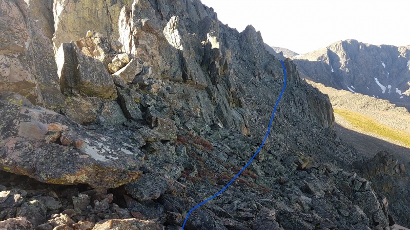
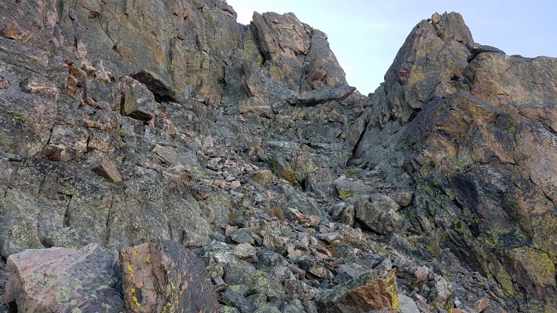
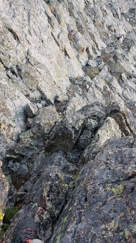
Once in the notch I headed right/west into the shade below the large walls above. Whereas the eastern side of the notch appeared to be mostly steep cliffs the western side was a lot of ribs separated by talus gullies. I was looking for what Roach describes in the guidebook as an "improbable corner" though maybe I was already there and just didn't realize it. I traversed along the talus trying to stay high or gain ground instead of go low around the ribs. There were cliffs here too but they were all avoidable.
I could possibly have snuck through the higher cleft up and to the left but it looked much harder.Closeup of the first rib crossing.
On the other side I down climbed a short Class 2+ chimney with exposure on the right, entered another gully, and crossed it to another rib.
Down the first rib. It's hard to get a sense of angle but it's steep with tons of hand and footholds.Up the next rib.
At this point there was only one more rib to cross over. Beyond it I could see the talus field I had guessed would take me to the ridge crest. It looked like if nothing else I could just continue traversing on talus until I found a break in the cliffs, if there were any I couldn't see around the corner.
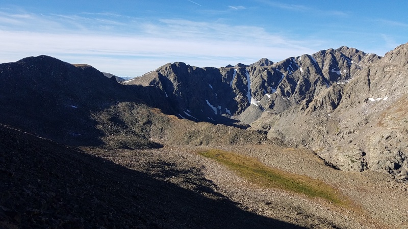
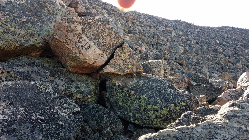
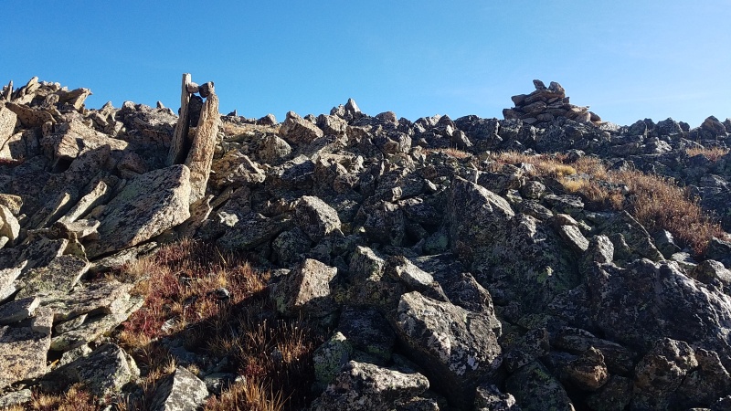
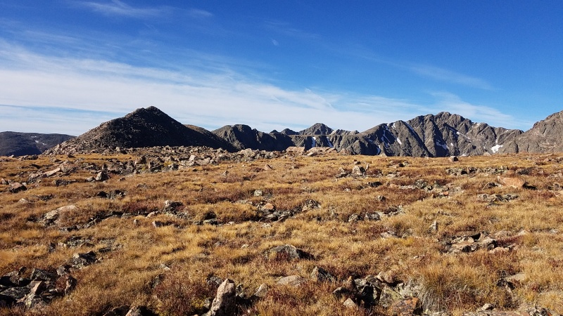
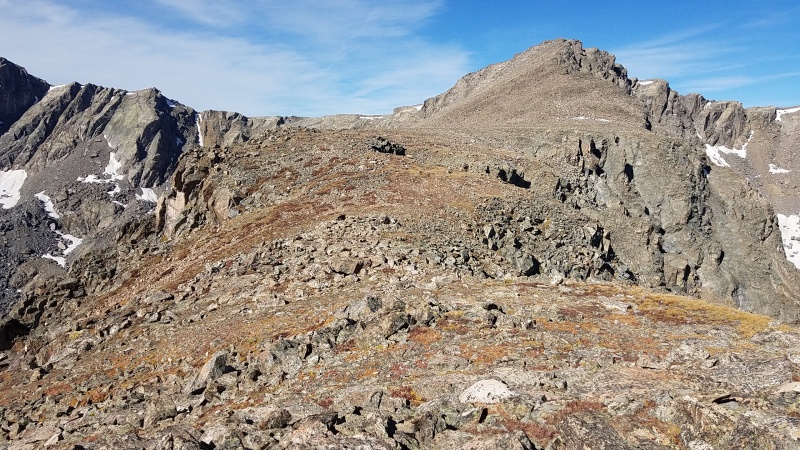
Final rib crossing before turning left/east and heading up towards the shelter.A large chunk of the rest of the route. Point 13,248 on the left, Point 13,768 right of center (the largest, most prominent point behind the flat ridge), and Holy Cross Ridge on the right. Holy Cross itself is up and right of the right skyline ridge.The talus field after the final rib. Sorry for the finger, it was the only way I could get a good picture since the sun is directly behind it.I must be in the right spot. If you're doing this route in reverse look for the cairn on the left, the two vertical stones with stones jammed in it. It might be hard to tell just where to descend otherwise.
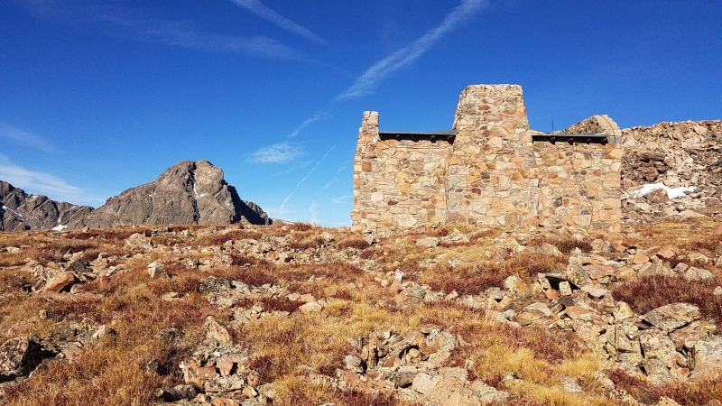
Once the ridge flattened out it was a short walk to the shelter and to Point 13,248.
All the windows are on the other side. The door was unlocked but seemed barricaded from the inside so I didn't go inside.No real impediment here, just more angular blocks.
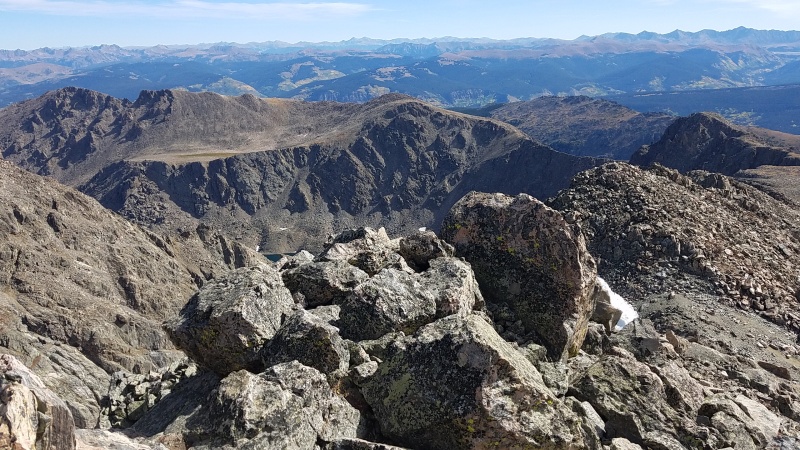
Once on top of Point 13,248 a neat "catwalk" appeared over to a sub-summit of Holy Cross Ridge. I put it in quotes because it's quite wide and there's no real risk of falling off, it's just out of character with the wide ridges everywhere else on this route.
Curvy catwalk.Neat.
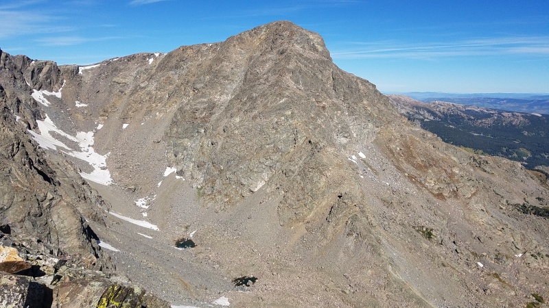
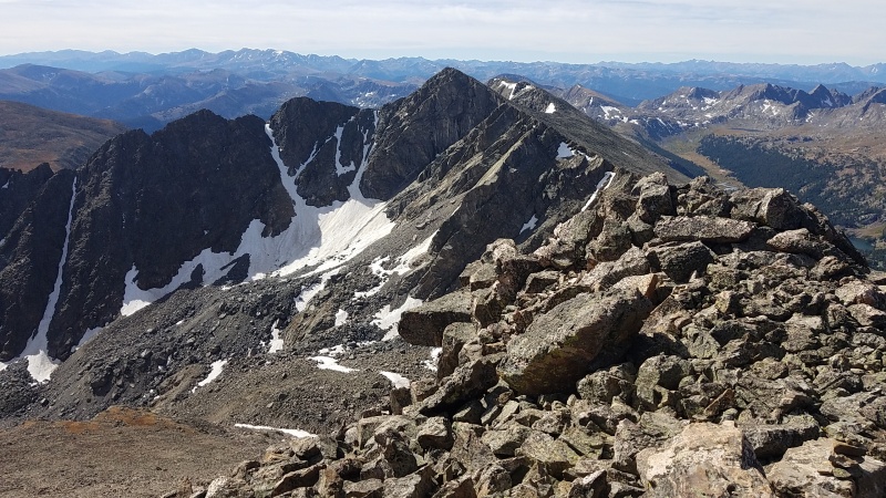
As I ascended the first ridge point past the catwalk I got my first good views of Point 13,768, and she's a doozy; the north ridge is full of slabs and the east ridge has numerous couloirs and potentially good scrambling from their tops to the summit.
Point 13,768 and Holy Cross Ridge.Unique view of Holy Cross from Holy Cross Ridge.
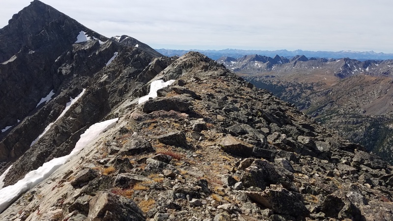
There was another catwalk-like system of flat ridges connecting Holy Cross Ridge with its sub-summit, and from the end of the catwalk two or three false summits to attain the true summit.
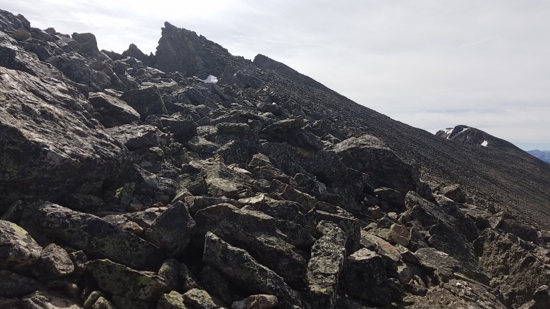
More easy ridge covered in the ubiquitous talus.Getting used to repeating this view over and over.
I wasn't sure what the opposite (west) side of the ridge spanning Holy Cross-Holy Cross Ridge-Point 13,768 looked like but from researching topo maps of the area it looked like I'd be able to traverse between all three easily. It would be the same blocky stuff I'd been on all day but I was used to it by this point.
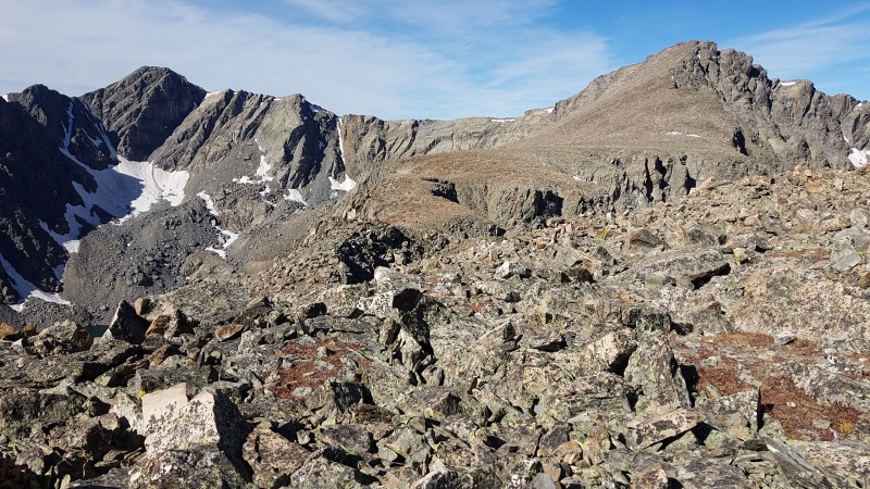
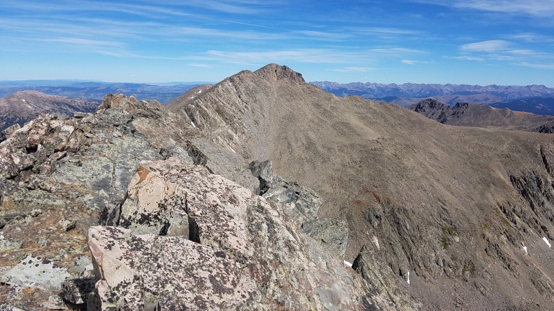
Holy Cross from the summit of Holy Cross Ridge. Easy hiking to get to it.The majority of what I'd come up today, with Notch Mountain and the notch on the left, Point 13,248 in the middle, and the catwalks on the right.Better view of the couloirs and some of the route to Point 13,768. Looked like more Class 2 on the western side of the ridge.
I figured Point 13,768 would never be cheaper than it was right now, and if I wanted to come back for the couloirs or slabs later I could. I descended south and walked along yet another largely flat ridge towards the elbow that would take me to the summit.
Slabs to the left, endless talus to the right.One of the initial slabs. I don't think this one ran all the way down to the basin.Photo #12,349,847 of Holy Cross Wilderness granite and gneiss!Looking down the final slab before the ridge starts ascending again. Might make a fun scramble!
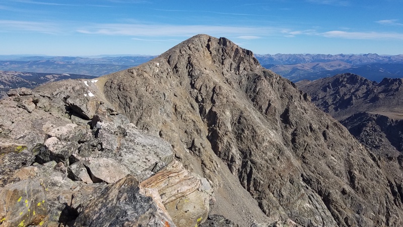
The summit of Point 13,768 is a couple of huge, stacked blocks of nearly featureless rock. The diversion to this peak was worth it just for the summit alone.
Almost no pro on this one! What a wild piece of alpine rock. The easy route up talus is off-frame to the right.East ridge.North to Holy Cross and Holy Cross Ridge.
All in all it took me probably 50 minutes to get from Holy Cross Ridge to Point 13,768. The traverse back was tedious but expected.
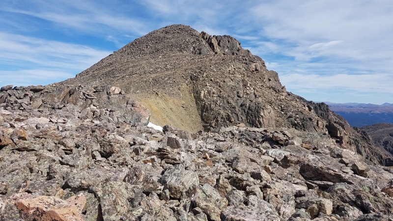
That's a lotta rock.Final pushes up Holy Cross.Final pushes up Holy Cross.
I found myself alone on the summit of Holy Cross at about 1:15pm. It was windy and a little cold but I rested for almost an hour, taking advantage of the rare fact that I had a 14er to myself.
Point 13,768 in the background, Holy Cross Ridge (and an unnamed(?) couloir) in the foreground.Notch Mountain, the notch, and the Notch Mountain Shelter.
From my other previous climb of the Cross couloir I knew that the north ridge descent was rather long and tedious. I started moving a little after 2pm and found the initial trail off the summit a little confusing. I don't think there really was one, just a mess of use trails and large cairns going briefly west until the ridge and thus the trail cuts north in a nearly straight line.
North ridge descent.
The trail is simultaneously good - in that it exists at all - and bad - in that it's covered in loose rock. Overall it's far better than the last several hours of untrailed, uneven terrain! The ridge seemed to stretch on forever, even below treeline. I was vigilant not to continue descending into Cross Creek drainage even though I remembered the trail being obvious into East Cross Creek, which was the case this time around as well. The campsites soon began to appear, marking the right way back. Reascending to Half Moon Pass I got one last good look at Mount of the Holy Cross and the incredible cliffs in the cirque below its eastern side. Truly a sacred place.
I made quick progress back to the pass where I ran back to my car, cleaned my dusty feet off in the nearby stream, and drove home. The remaining Holy Cross Wilderness 13ers will probably have to wait until next season but this was a fine reminder of just how incredible this area of Colorado is!
Statistics
Climbers: Ben Feinstein (myself) Total distance: 15.25 miles Total elevation gain: 6,638 feet Total time: 10:14:15 Peaks: One 14er, four 13ers (three ranked, one unranked)
Notch Mountain, 13,237' (unranked)
Point 13,248
Holy Cross Ridge, 13,831'
Point 13,768
Mount of the Holy Cross, 14,005'
Splits:
Starting Location
Ending Location
Via Time (h:mm:ss)
Cumulative Time (h:mm:ss)
Rest Time (m:ss)
Half Moon Trailhead
Notch Mountain
2:03:11
2:03:11
0:00
Notch Mountain
Point 13,248
1:18:38
3:21:49
0:00
Point 13,248
Holy Cross Ridge
1:33:08
4:54:58
0:00
Holy Cross Ridge
Point 13,768
0:49:58
5:44:56
0:00
Point 13,768
Mount of the Holy Cross
1:18:58
7:03:54
51:08
Mount of the Holy Cross
Half Moon Trailhead
2:29:13
10:14:15
Trip End
GPS Track(s) on Google Maps (made from a .GPX file upload):
Great trip report! I've been mulling over this round trip, and am hoping to make it happen this coming summer. Beautiful photos (even with the included finger, LOL) and nice to have your GPS route available, although I think I'll skip over 13,768. Bookmarked your report for future reference. Keep on climbing!
Glad you enjoyed the report, Schimberg. Enjoy your climb too, this is a fun one!
Caution: The information contained in this report may not be accurate and should not be the only resource used in preparation for your climb. Failure to have the necessary experience, physical conditioning, supplies or equipment can result in injury or death. 14ers.com and the author(s) of this report provide no warranties, either express or implied, that the information provided is accurate or reliable. By using the information provided, you agree to indemnify and hold harmless 14ers.com and the report author(s) with respect to any claims and demands against them, including any attorney fees and expenses. Please read the 14ers.com Safety and Disclaimer pages for more information.
Copyright: Route information, text, risk factors, maps, GPX files, charts, photos, 14ers.com-created map imagery, flythroughs, and other content provided in this route description are copyrighted by 14ers.com and may not be copied, reproduced, republished, distributed, modified, or used to create derivative works without prior written permission.
Please respect private property: 14ers.com supports the rights of private landowners to determine how and by whom their land will be used. In Colorado, it is your responsibility to determine if land is private and to obtain the appropriate permission before entering the property.