Peak Q (13,230')
Peak L (13,213')
8/31/19 - 9/2/19
Harrigan Creek TH (8,340')
We thought it would be a great idea to pack into Upper Slate Lake over Labor Day weekend for a couple nights of camping. So did a bunch of other people.
Several weeks earlier, I tried to drive up Brush Creek Road to see if it was possible to make it to the Brush Creek Trailhead in my new-ish Forester. I got shot down quickly. But I did read a comment by user GoreGalore in another trip report suggesting the Harrigan Creek trailhead and trail as an alternative approach to Upper Slate Lake. So immediately CalTopo was summoned and an extensive comparative analysis followed. The pros and cons were weighed between the Harrigan, Boulder Creek, and Rock Creek trailheads. Harrigan offers the most continuously gradual uphill approach to the Gore Range Trail and also offers the least amount of elevation regain on the pack out (at least for the non-Brush Creek accessible folks). Harrigan it was. Thanks, GoreGalore!
Day 1
8/31/19
Harrigan Creek TH (8,340') to Upper Slate Lake (10,860')
11.4 miles, 3,600', 5:59
The 3.7 miles up to the Gore Range Trail passed quickly before hanging a right onto the GRT.
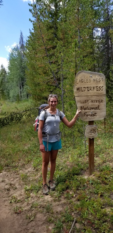
Becca at the Wilderness Boundary shortly before intersecting the Gore Range Trail
The GRT continues uphill for a couple minutes before descending almost 900' down to Slate Creek. While the bridge crossing the creek is still uprooted and damaged, it was rotated 90 degrees in such a way that it still seemed to offer a fairly stable - if awkward - crossing. After filtering water at the creek, we continued a short way to the well signed Slate Creek trail intersection and hung a left.
Slate Creek trail doesn't seem to see much traffic. It may have had more traffic over Labor Day weekend than the rest of the year up to that point combined. The trail is still obvious and not difficult to follow, but pants: Wear. Pants.
Once at Upper Slake Lake, it was clear the most obvious and choice camp spots were taken. So we plopped down on a well-used site that may or may not have been a wee bit close to the lake. Camp chores were completed as soon as possible, and shortly after we found ourselves fast asleep while visions of Peak Q danced in our heads.
Day 2
9/1/19
Peak Q (13,230')
5.8 miles, 2,800', 9:09 RT from camp
Sunrise over Upper Slate Lake sure didn't suck. That Mountain House Breakfast Scramble sure did, though.
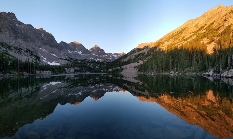
(from left to right) T, S, R, Q, P, J, K, L. How'd I do?!
Unfortunately, the mighty Gore and seldom-visited Slate Creek aren't immune to the influx of shit. Literally, and figuratively. We found this nugget a few hundred feet from camp, just uphill from the lake. Nature! Wilderness! Yeehaw.
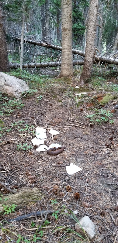
Someone's been eating their fiber
Shortly after leaving camp and passing Mr. Hanky the Slate Lake Poo, it gets interesting. The bushwhacking and route finding here is pretty next-level stuff. Have fun figuring it out for yourself!
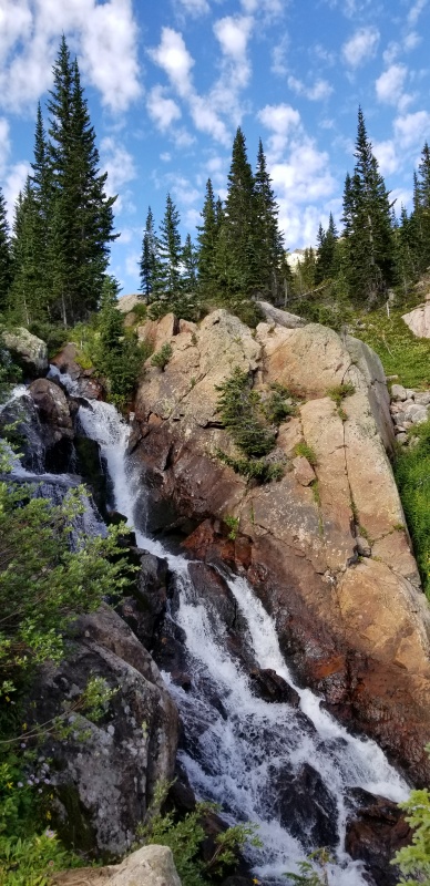
Eventually, if you don't mess up too badly and aren't too angry to continue, you'll see this. Now you know you're in the right place. Go up.
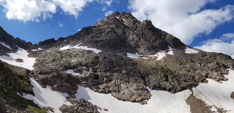
Peak Q from the northeast
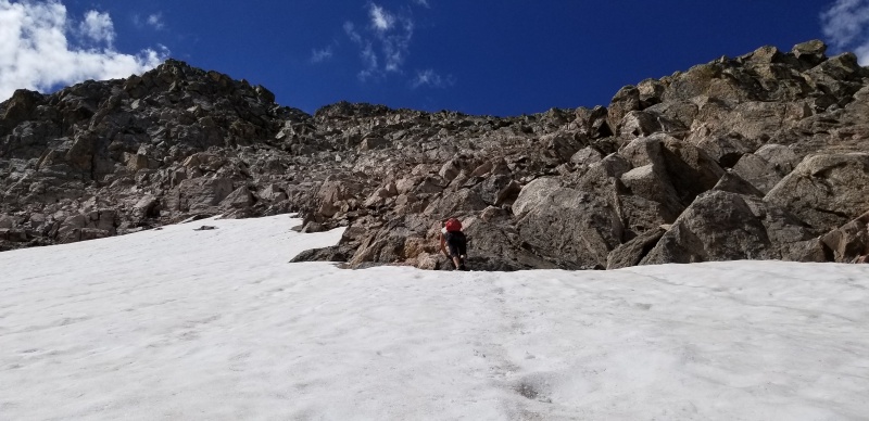
This was the only patch of snow we touched on the ascent.
Generally, we zig zagged our way up the northeast face some distance away from the Q-R connecting ridge. Near the top, we intersected a north-trending subridge where we crossed to the other side and did some interesting, exposed traversing below the north side of the summit block. There were a couple short 4th (maybe 5.0) sections in between the traverses and the summit. I'm not sure if we were on the easiest route. All in all, though, we found the scrambling to be fairly enjoyable on the ascent with some fun but serious route finding.
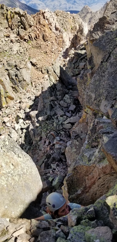
Not sure if this is part of the standard route?
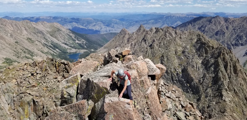
On the summit ridge of Q. Upper Slate Lake below with Peak T's pointy summit behind Becca
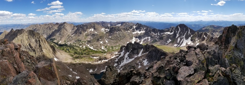
The Range looking Southish
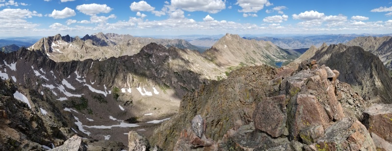
The Range looking Northish
On the way up we passed a pair of climbers on their way down from Q. Both were finishing up some of their final 13ers. We chatted for a bit and learned that both our parties would be climbing L tomorrow - the lady's penultimate Gore Range 13er and the gentleman's Gore Range finisher!
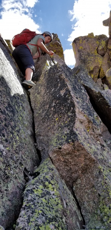
Cool corner and crack we found on the way down from the summit
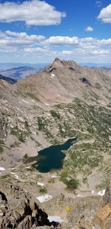
South America Lake and Peak L
After reading every trip report and piece of beta on this mountain I could find, I was aware that Dave Cooper and others had mentioned a route on Q that zig zags across the NE face but much closer to the ridge. For some reason, we decided we should try going down Peak Q that way. There were even a ton of cairns marking the way - what could go wrong?! What a mistake. The rock was garbage, not stable, and the line was drastically more dangerous and less fun than our ascent line. We persevered, and somehow got back to stable ground ... with Becca still smiling and having fun, apparently?!

A classic Gore Range-induced smile
A short glissade ensued.
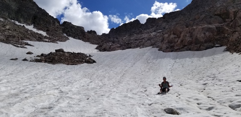
Then we got back to grassy tundra not long after. After a long break to eat and filter more water, we made the same dumb mistake for the second time in a couple hours: not following our ascent route. Instead of complaining on an online forum about how miserable our bushwhack back to camp was, I'll just leave you with this: it took us 30 minutes longer to get down Peak Q than up Peak Q.

One benefit of bushwhacking: finding weird stuff
We did stumble upon the faint path for the last half mile to camp. Along that path, far from the main camping zone, we were treated to quite the scene: 3 bro-brahs, all wearing nothing but their boxers, in the grass doing yoga while the bro leader guided them through their transition into Star Pose. They SO were not expecting to see anyone hike by.
Peak Q whooped our butts. That peak takes so much effort. Every time I think I might have a reasonably straightforward day in the Gore, I get Gore-Slapped. I have to confess, earlier that morning I was trying to talk Becca into traversing over to Peaks R and S after Q... HA! This Range always has a way of putting you in your place. In a sick way, I love it.
Day 3
9/2/19
Peak L (13,213')
4 miles, 2,500', 7:09 RT from camp
Pack out to Harrigan Creek TH
11.3 miles, 1,110', 4:23
Fresh off a square kick in the rear from Peak Q, we assumed less bushwhacking up valley and a more direct route would make for an easier day. It's just 2 miles each way, right?! So naive. L was two hours shorter, but it still packed quite the punch.
There's a log that crosses Slate Creek above Upper Slate Lake. From there, it's a relentlessly steep 1,500' up to the saddle between Peak L and 12,730'.
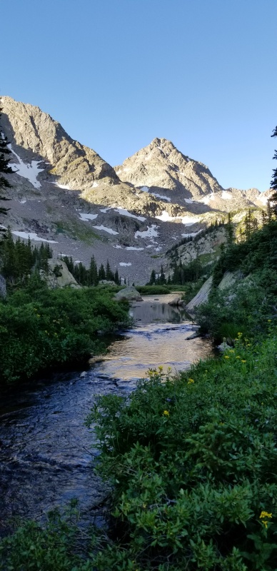
Peak Q from the creek crossing
There were several options up, but we took a combination of super steep grassy slopes, long boilerplate slabs, and then talus to reach the saddle.
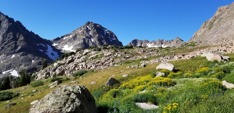
Peak Q left of center, ridge between P and J right of center
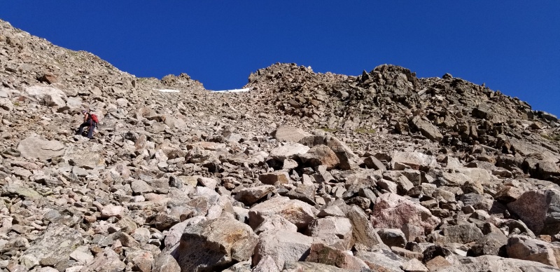
Becca working up to the saddle.
At the ridge we went right.
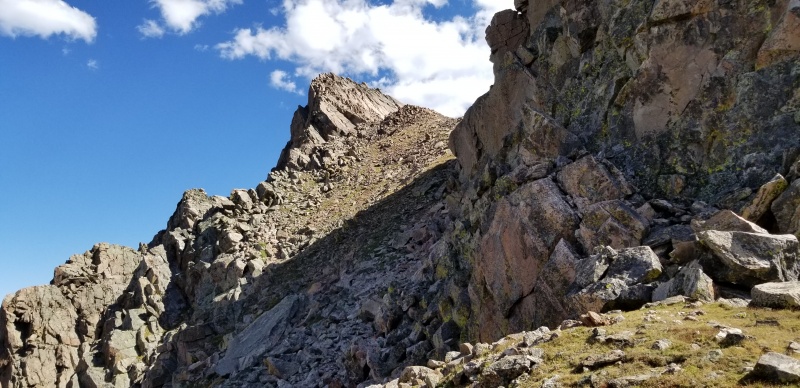
Looking East from the saddle at the first part of the ridge to L. We stayed high and right under the shady cliff bands before continuing up the grassy slope to the crest of the ridge. The pointy part of the ridge in the distance is where the fun begins.
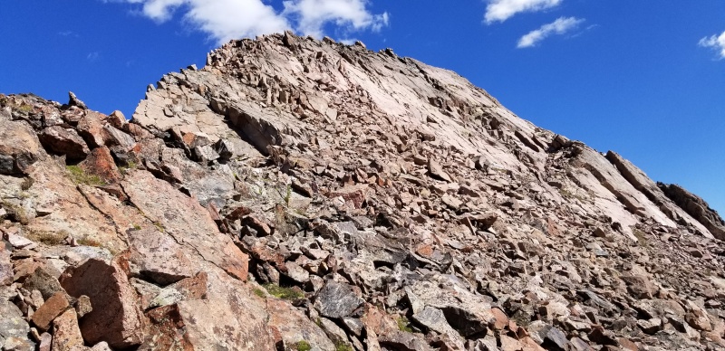
The first section of ridge shortly after leaving the grassy crap
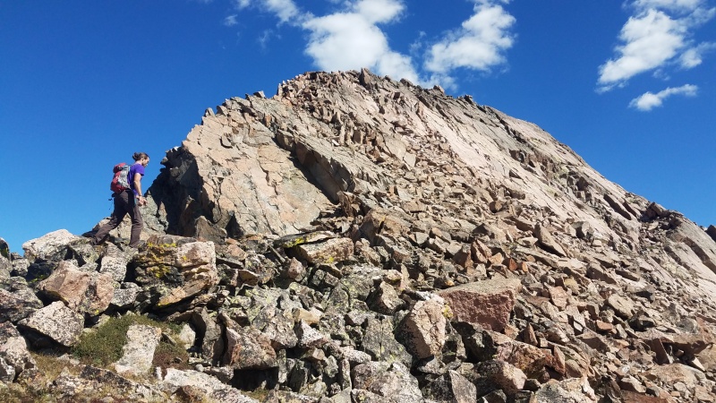
The difficulty and fun ramp up together significantly once on top of the narrowing ridge. The rock was mostly exceptional and the movement induced giggles of joy.
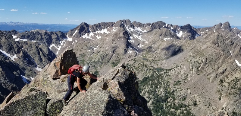
Rebecca and Ripsaw Ridge
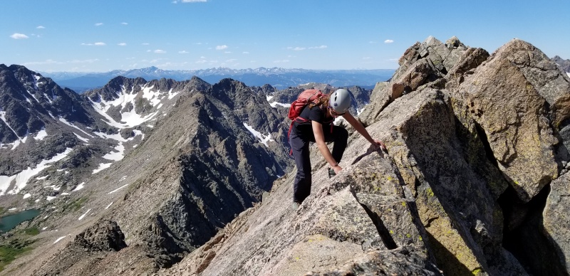
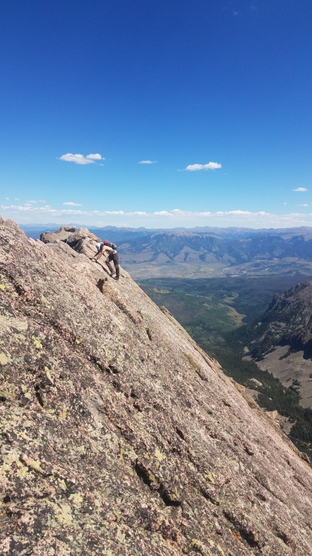
Photo taken on the descent
Progress is interrupted when the ridge reaches a notch dropping down to the start of the summit pitch. This is a good place to study route options to the summit before descending 3rd class terrain down to the base of this:
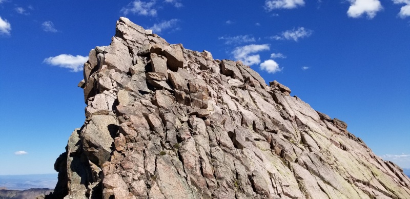
Peak L summit block
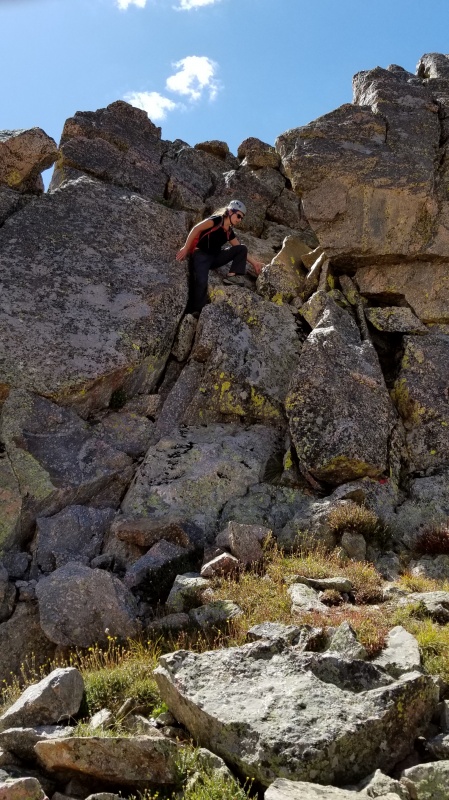
Becca coming down the 3rd class notch in the ridge prior to the summit block
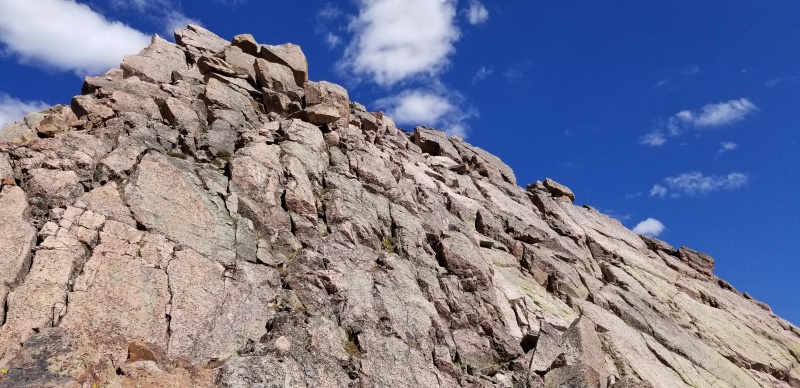
Closer look from the base of the summit block
The summit block appears steeper and more difficult on the left side, with slope and difficulty decreasing further out on climbers right.
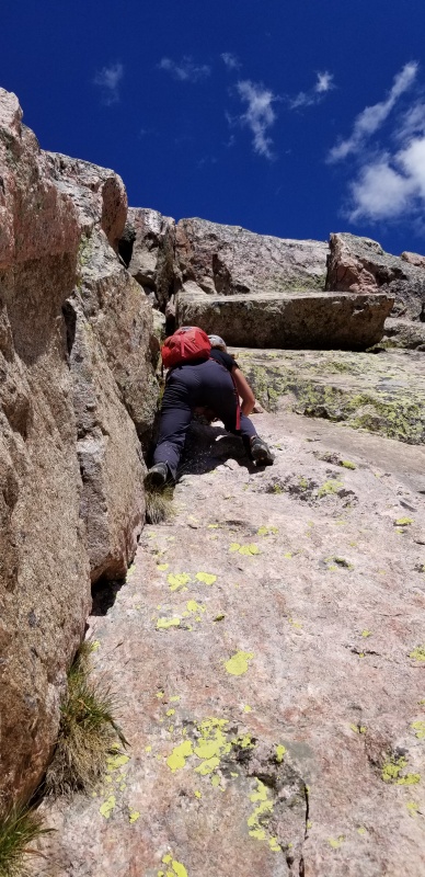
An unnecessarily difficult, avoidable section of the summit pitch we were able to avoid on the descent
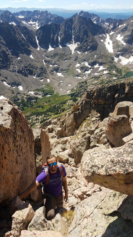
On the ascent, we stepped out right onto the face a bit before taking a somewhat direct line to the summit. It got a tad difficult for our tastes, but we eventually topped out on the summit, taking turns saddling the bull that is the summit boulder.
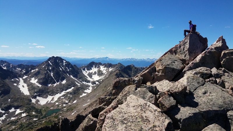
Summit!
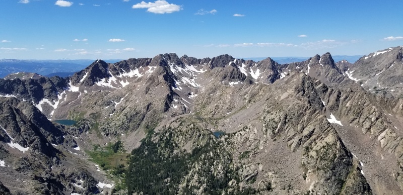
(L to R): H, Black BM, G, F, E, D, 'C-prime', C, [one of the 'Corners', which one?!], Mt. Powell

Upper Slate and southern part of The Range
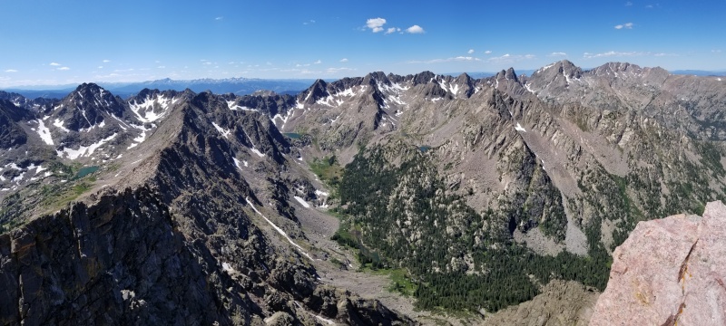
Spaghetti-O Range: (R < L) A, B, C, C', D, E, F, G, I, Black BM, H, J, K, P and Q
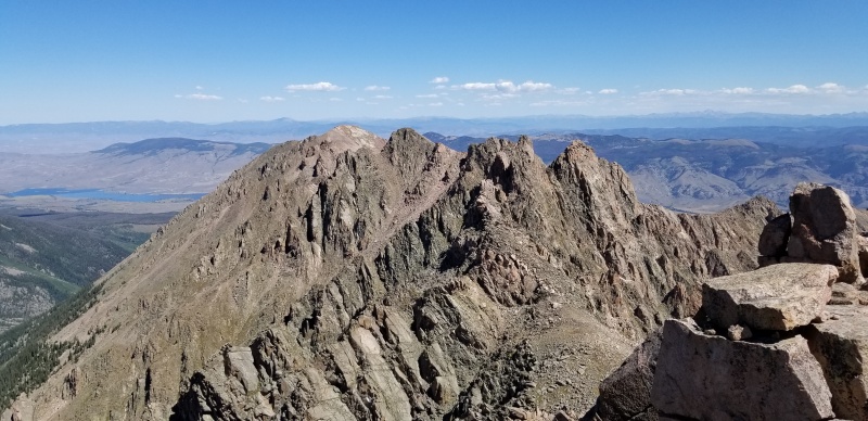
The Guyselman Group with Green Mountain Reservoir below and left
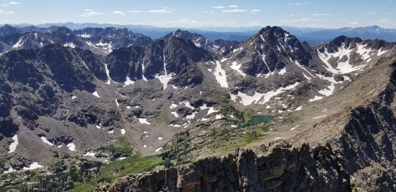
Upper Upper Slate Creek, "South America Lake" below Peak Q
We had to linger on the summit for a while to soak it all in. But not too long, because we still had to go back to camp and then hike out 11+ miles to the car. On the way down the summit block, we figured out a way to zig zag down ramps and ledges with only a handful of 3rd and 4th class moves mixed in. This was much less stressful and strenuous than the way we took up. Reclimbing the 3rd class notch and reversing the ridge was a blast. The descent from the saddle down to the creek crossing was a little less enjoyable. More than seven hours later, we made it back to camp, quickly broke down camp, and packed up.
The pack out didn't offer much excitement. We did catch up with the two climbers from Peak Q and chatted for a bit about their climb of L and their few remaining 13ers - best of luck, yall! Oh, and we got to hear some dude dry heaving uphill from us on the elevation regain up the Gore Range Trail, and then walk by the vomit on the trail, so that was exciting. About 30 minutes after dark we got back to the car, wiped, but satisfied and happy.