| Report Type | Full |
| Peak(s) |
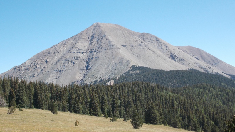
West Spanish Peak - 13,584 feet |
| Date Posted | 08/28/2019 |
| Modified | 04/03/2021 |
| Date Climbed | 08/26/2019 |
| Author | huffy13 |
| Steep and loose is the name of the game! |
|---|
|
I haven't had a chance to get to the mountains yet this year and I was beginning to think I wasn't going to have an opportunity due to work and other commitments. I had Monday, the 26th of August off at work....I work a 12 hour shift job and I found out last week that starting the on 27th we are working an 8 week shutdown and I knew if I didn't go Monday I wouldn't get to go at all this year. I needed to keep it closer to home since time was a factor, I went back on shift Tuesday night, so I decided that West Spanish Peak would be a good candidate. I've had West Spanish Peak on my radar for a long time. Ever since I began my hiking trips 12 years ago I have driven by this area and always wanted to get some of the Sangre 13ers under my belt. I had gone up to Cordova Pass a couple other times with the intent of summitting West Spanish only to be turned around by weather before I ever even got to the trailhead. This time the forecast showed no chance of rain and the temps were forecast to be pretty pleasant. I left my house Sunday afternoon after my shift at 5:20 pm CDT and arrived at the Cordova Pass campground right at 9:30 pm MDT. I paid my $7 fee and decided to just car camp since I was the only car there....there was one person that was getting into his truck right as I pulled up, said he had hiked the peak starting in the afternoon. Once he left I did not see another soul until I got back to the trailhead after my hike Monday. I fell asleep around 10:00 and had a relatively decent rest considering the wind started howling around 10:30 and was shaking my car quite a bit, but I rarely sleep well anyway and 5-6 hours of intermittent sleep was better than I usually get the night before a big hike. 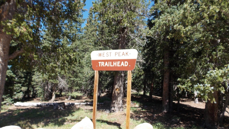
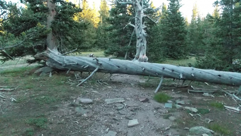
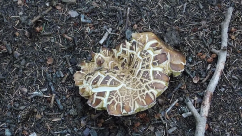
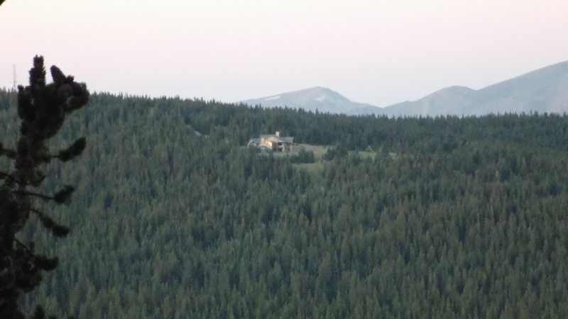
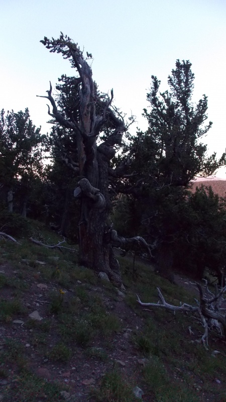
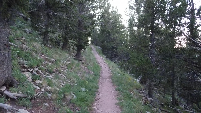
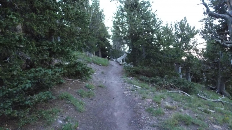
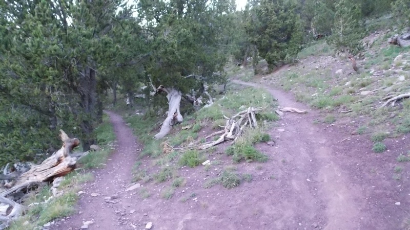
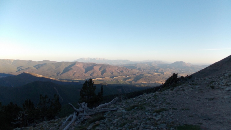
My alarm went off at 5:00 am and I ate a quick breakfast of a banana, clif bar and a drinkable peach yogurt before hitting the trail at 5:30 straight up. I knew I wanted to get an early start even though the forecast was favorable and the hike was relatively short. I knew from researching the hike on this site that there was impressive elevation gain to be experienced on the last quarter of the hike. And this turned out to be absolutely accurate. The first three miles of the hike or so are absolutely great. The trail is very well defined, there are several places that make for great photo opportunities, most of the trail below treeline is relatively smooth and gentle and this portion of the hike actually seemed to fly by. I really enjoyed the many twisted bristlecone pines, both alive and dead....they made for a really neat visual distraction. There is a small portion of the forest part of the hike that has some switchbacks (about 6 or 7) just before you hit treeline, but they are long, gently sloping switchbacks, nothing like what you experience on the Belford ascent or even on Huron's standard route. I made treeline at 6:55 am, less than an hour and a half for the first three miles. This is a decent pace for me, I am usually quite slow....but my pace did slow a lot from this point on during the ascent. The next several pics are of the trail and views below treeline. 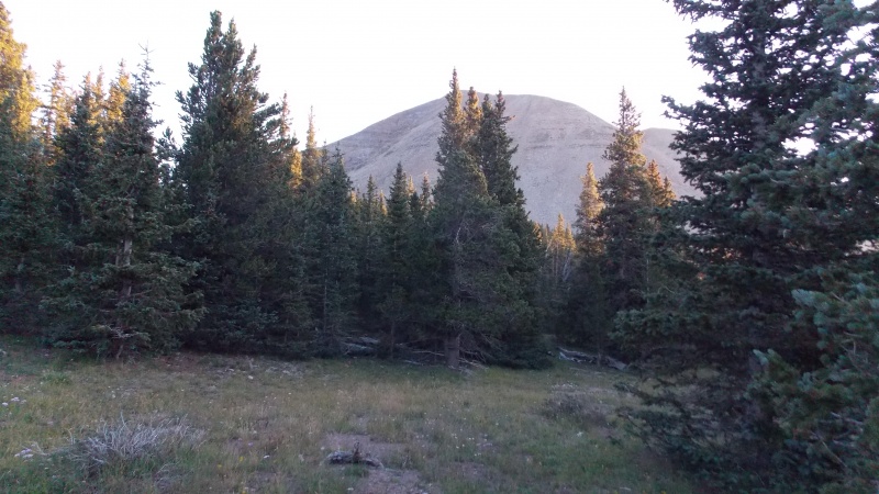
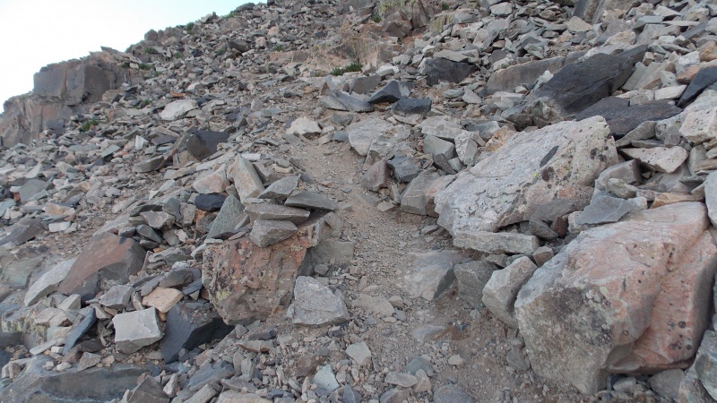
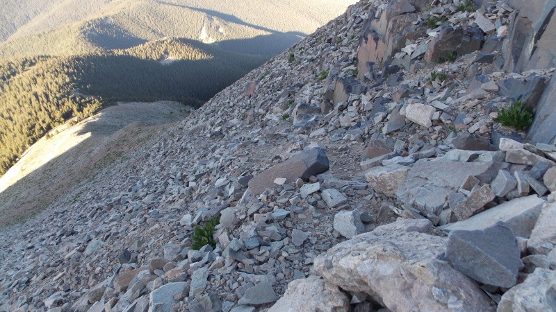
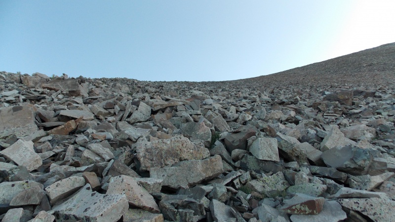
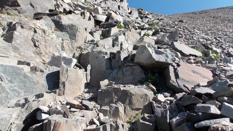
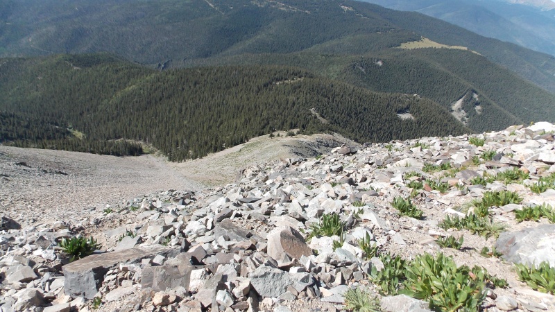
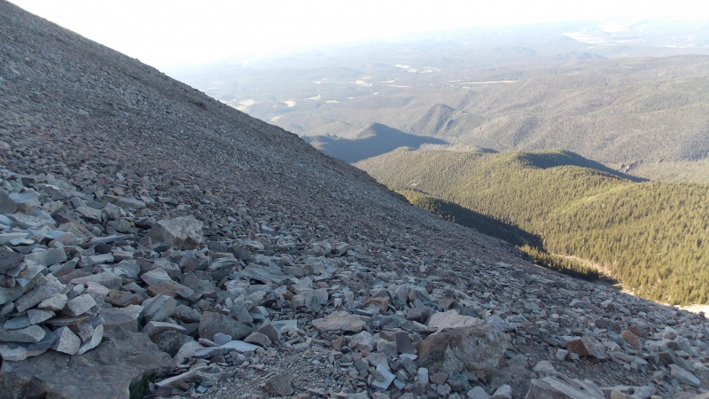
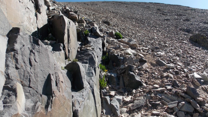
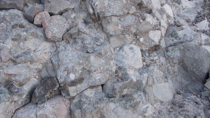
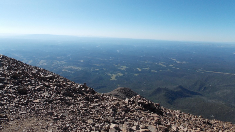
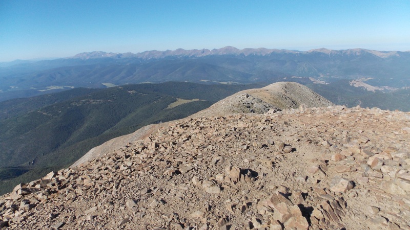
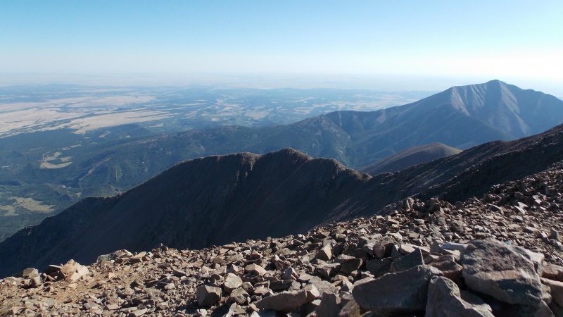
Once you hit the last mile of the ascent it gets a lot more aggravating and difficult. The slope above treeline is very steep, loose and the trail is not as well defined. I brought my trekking poles on this hike and I kind of wish that I had just left them at the car or just stashed them at treeline. I slowly trudged my way up the loose SW ridge, taking frequent hydration and photo breaks. I heard rocks falling at one point but quickly realized that they were being knocked down by a few bighorn sheep that were in the gully further to the south and slightly below my elevation. There are a few spots that were solid during the ascent, but really, about 90% of the last mile is very loose. Some sections were like walking up on croquet balls, other sections were more like walking up a gravel hill, and there were places that the rocks made it feel like I was walking uphill on a pile of dinner plates....I knew that as bad as it seemed on the ascent, I was going to hate this portion of the descent even more. The wind was still pretty strong, that wasn't helping, but I was kind of thankful that it was blowing enough to keep it cool and kept the flies and mosquitoes from being too much of a nuisance. The following pics are of the steep, loose ascent above treeline on the SW ridge. 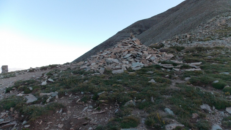

Finally, at 8:53 I made the summit. 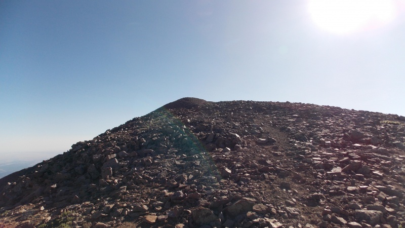
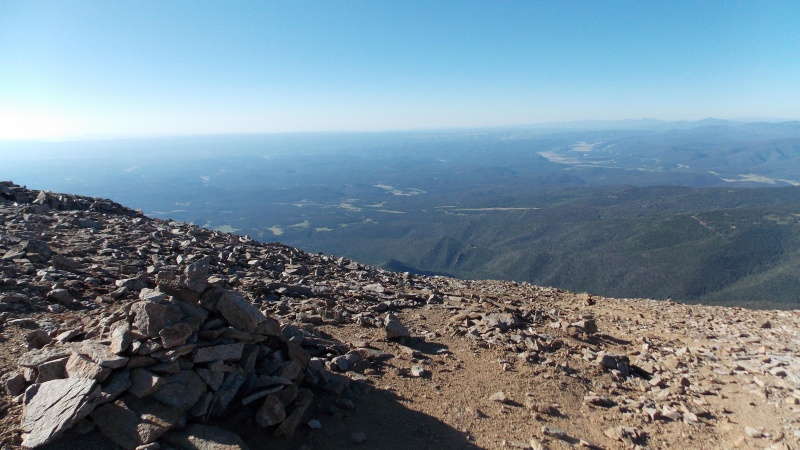
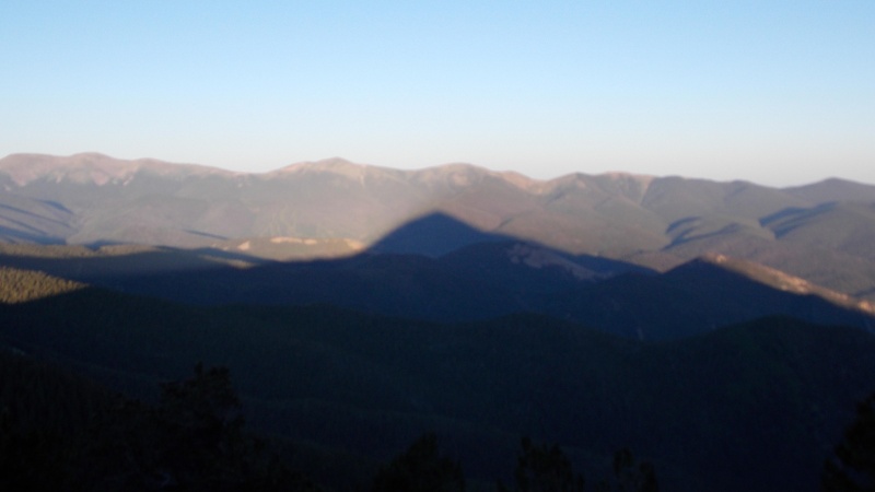
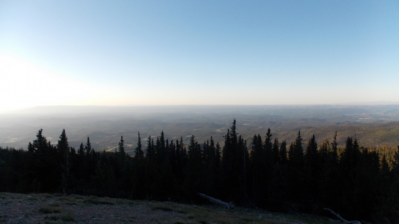
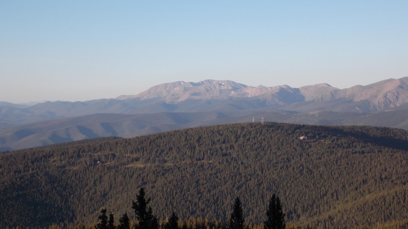
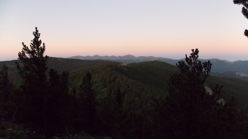
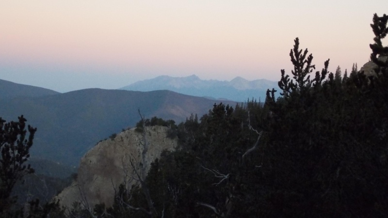
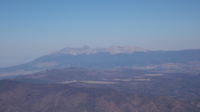
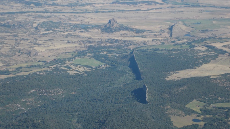
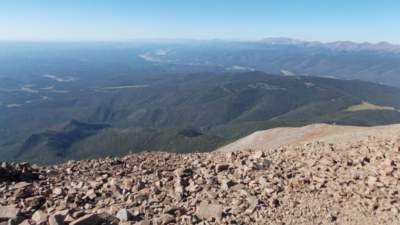
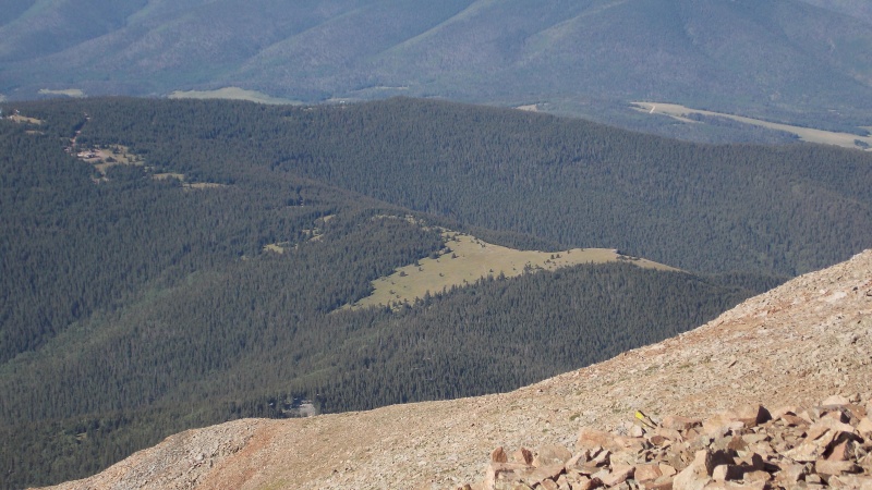
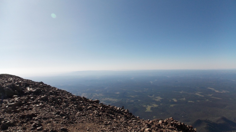
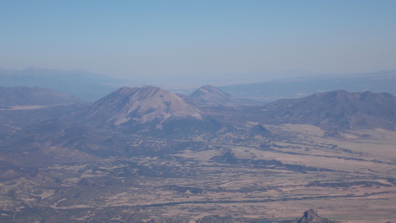
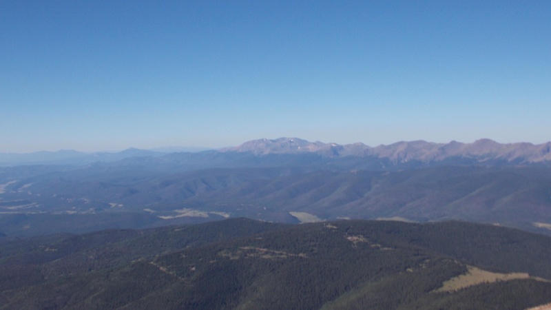
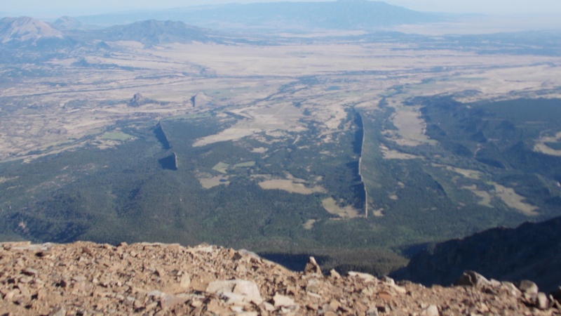
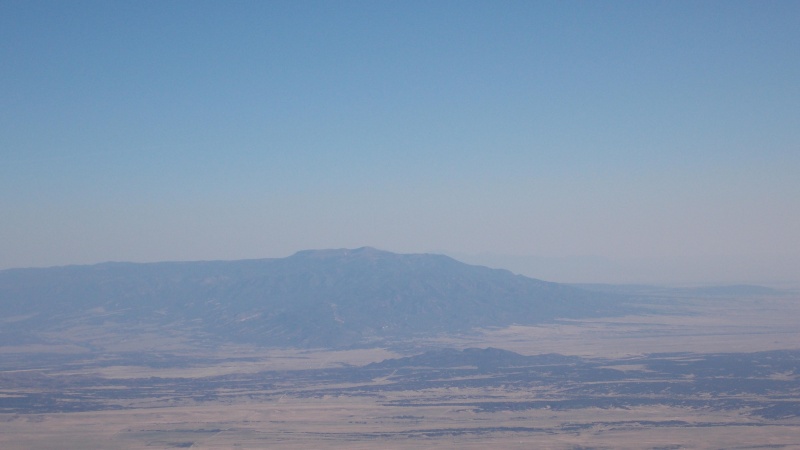
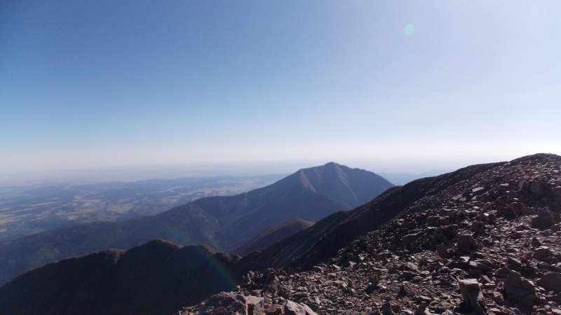
The views from the summit made the strain of the ascent well worth it. The lava dikes that the Cuchara Valley/La Veta area are known for were quite prominent in all directions. The Blanca Massif, the Crestone Group, Greenhorn Mountain and the entire Culebra Range are dominating the west and north views. The skies were too hazy to be able to see Pikes Peak, but I know it is visible because when we hiked Pikes a few years ago we could see the Spanish Peaks pretty easily. I could also see across the San Luis Valley to where I think San Luis Peak is...but I may be wrong about that. One thing I also thought was cool was that I could see the top of Capulin Mountain and Sierra Grande, as well as some of the other ancient volcanoes on the other side of Raton Pass, in New Mexico. It was hazy, but I found them after quite a bit of searching. 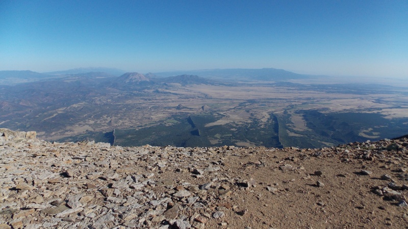
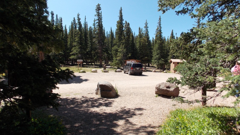
After taking a lot of pictures, calling my wife to let her know I made it safely, and eating some snacks to refuel, I started the descent at 9:15. I would have like to have stayed longer, but the wind was starting to get on my nerves and I knew I still had to drive home after all this. The descent was relatively uneventful. I did end up slipping and falling on my butt three times, but there was a lot of choice words on my down just due to all the loose rock, close calls on my ankles and just the general frustration with every step causing rocks and scree to shift and make me question my footing. I arrived back at the trailhead at 11:20, just over 2 hours on the trip down. I changed into some more comfortable clothes for the drive home, and arrived back at the house in Texas exactly 24 hours from the time I left...5:20 pm CDT. My wife pointed out that crazy timing as soon as I walked in the front door. It was a quick trip, but I am glad I was able to go. I've been wanting some elevation therapy for a while. Now for my thoughts, experiences, advice and insights for this hike: First, Cordova Pass Campground is a very nice, well kept area. It has plenty of good camp sites and does have clean vault toilet facilities during the summer and fall time of the year. There is a nominal fee of $7 as of August of 2019, but well worth the price. The road to the campground from Cuchara Pass is in relatively good shape. There are a few small sections of washboarding and some potholes, but nothing that any vehicle can't handle. You are going to want to take plenty of water or other hydration. There wasn't a single source of water on the hike. There may be water sources during a different time of the year, maybe during a good snow year or during the spring and early summer meltoff. I took 3 liters or so of watered down sports drink mix and I still had a full liter when I got back to the car at the end of the hike, but it wasn't too terribly hot on this day also..... The hike itself is pretty straightforward while below treeline. The forest portion of the hike is great. Well kept trail and many opportunities for amazing photo ops down into the valley and out toward to plains, as well as all the Sangre big dogs. The three miles in the forest flies by, but once you hit treeline the personality of this hike changes on a dime. The ridge is very steep and loose, the ascent was just slow and aggravating with all the one-step-up-half-step-slide-down crap for 99% of the ridge. There are a few areas that the rock is solid and the slope relents, but not much of the time. For the most part it's a long steep slope up everything from scree-like gravel, to bowling ball size rocks, to dinner plate flat rocks that slide easily. The descent is exponentially worse though. Going down the ridge reminded me of the descent on Bross, only worse. One positive note on the descent is that it is easier to see the trail on the way down. I still think the hike is worth the effort, the views over plains and the panoramic views of nearly all the Sangres to the North, west and south are unparalleled. Anyway, I hope some of the information on this report comes in handy for someone. It's a challenging, sometimes aggravating, but ultimately rewarding summit that flies under a lot of folks' radars. Happy hiking and be safe out there, thanks for reading. Thumbnails for uploaded photos (click to open slideshow): ")
")
")
")
")
")
")
")
")
")
")
")
")
")
")
")
")
")
")
")
")
")
")
")
")
")
")
")
")
")
")
")
")
")
")
")
")
")
")
")
")
")
")
")
")
")
")
")
|
| Comments or Questions | ||||||
|---|---|---|---|---|---|---|
|
Caution: The information contained in this report may not be accurate and should not be the only resource used in preparation for your climb. Failure to have the necessary experience, physical conditioning, supplies or equipment can result in injury or death. 14ers.com and the author(s) of this report provide no warranties, either express or implied, that the information provided is accurate or reliable. By using the information provided, you agree to indemnify and hold harmless 14ers.com and the report author(s) with respect to any claims and demands against them, including any attorney fees and expenses. Please read the 14ers.com Safety and Disclaimer pages for more information.
Please respect private property: 14ers.com supports the rights of private landowners to determine how and by whom their land will be used. In Colorado, it is your responsibility to determine if land is private and to obtain the appropriate permission before entering the property.


