Download Agreement, Release, and Acknowledgement of Risk:
You (the person requesting this file download) fully understand mountain climbing ("Activity") involves risks and dangers of serious bodily injury, including permanent disability, paralysis, and death ("Risks") and you fully accept and assume all such risks and all responsibility for losses, costs, and damages you incur as a result of your participation in this Activity.
You acknowledge that information in the file you have chosen to download may not be accurate and may contain errors. You agree to assume all risks when using this information and agree to release and discharge 14ers.com, 14ers Inc. and the author(s) of such information (collectively, the "Released Parties").
You hereby discharge the Released Parties from all damages, actions, claims and liabilities of any nature, specifically including, but not limited to, damages, actions, claims and liabilities arising from or related to the negligence of the Released Parties. You further agree to indemnify, hold harmless and defend 14ers.com, 14ers Inc. and each of the other Released Parties from and against any loss, damage, liability and expense, including costs and attorney fees, incurred by 14ers.com, 14ers Inc. or any of the other Released Parties as a result of you using information provided on the 14ers.com or 14ers Inc. websites.
You have read this agreement, fully understand its terms and intend it to be a complete and unconditional release of all liability to the greatest extent allowed by law and agree that if any portion of this agreement is held to be invalid the balance, notwithstanding, shall continue in full force and effect.
By clicking "OK" you agree to these terms. If you DO NOT agree, click "Cancel"...
For years I lived beneath these mountains and I never imagined that someday I would climb all ten of them in a single push. The idea of completing The Tenmile Ten Traverse was planted into my head after I came across a trip report on this website. Walking from Frisco to Breckenridge sounded intriguing, especially since the whole entire time I would be above 12,000'.
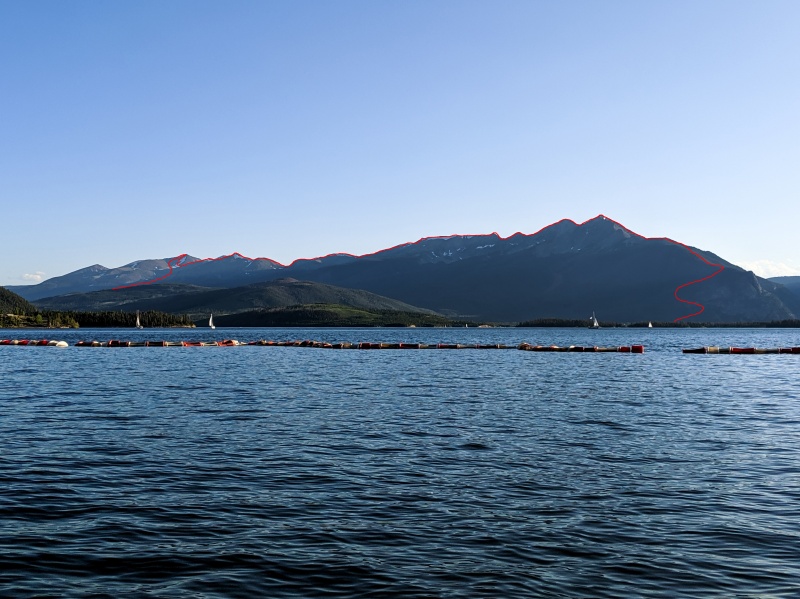
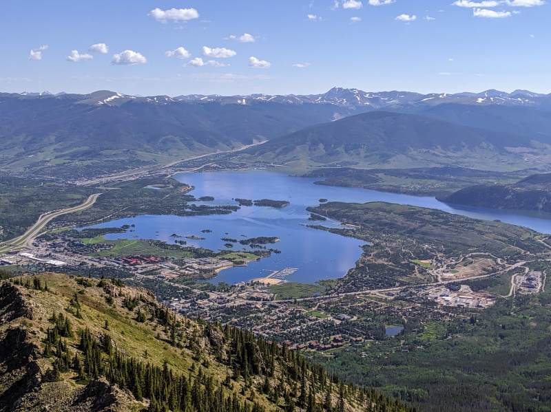
Nice view of Peaks 1-10 from Lake Dillon
When I told Ezra about the traverse, he was game to do it with me. It took about three summers before we could finally attempt it. Prior to that it was always either bad weather, wildfires or lack of time as we were too focused on finishing the 14ers. Also, having done long days in the mountains in the past, we knew this traverse would be a test of endurance, and we would have to commit to a regular training regimen. It's amazing how out of hiking shape a snowy winter can make you!
Last week when I checked the weather, I saw that we had a perfect clear day on Sunday. I definitely wouldn't want to attempt this hike if there was any chance for afternoon storms. Although there are plenty of spots to bail off the ridge, it would be absolutely soul crushing if we couldn't complete full traverse due to weather.
On Saturday afternoon we packed up the truck and headed West on I-70. Once we arrived in Summit County, our first task was to find a place to camp. Sadly due to increased wook activity, finding dispersed camping in the area is a lot more difficult than it was ten years ago. And unless you made a reservation months in advance, you can forget about local campgrounds. Luckily for us, we found a perfect little spot about 20 minutes from the trailhead. After quickly setting up our tent and placing camping chairs where we would eventually park the truck, we drove back to town for dinner and margaritas on the lake.
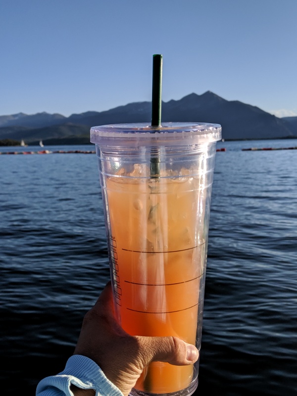
Hydrating before our big day!
Upon our return a couple hours later, we were surprised to find a group of four that decided to set up their camp pretty much on top of us! What?! They were being loud, the smoke from their fire was finding its way inside our tent and to make things worse they were blasting music. Since it was getting late and we had a long day ahead of us, we went to talk to our noisy neighbors. They were nice enough to turn off the music, but the loud talking continued for another couple of hours. Long story short, I didn't get much sleep and when my alarm quacked at 4am, getting out of my sleeping bag was rough!
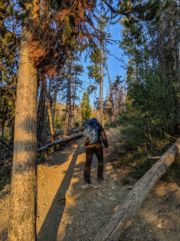
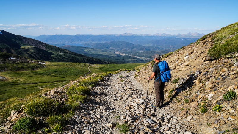
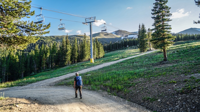
I was still feeling groggy as I drove to Rainbow Lake Trailhead. Also, I realized that on Friday I did leg day, and now two days later I was really sore! When we finally set out at 6am, the sky was getting lighter and the lack of clouds was a good indicator of a beautiful summer day.
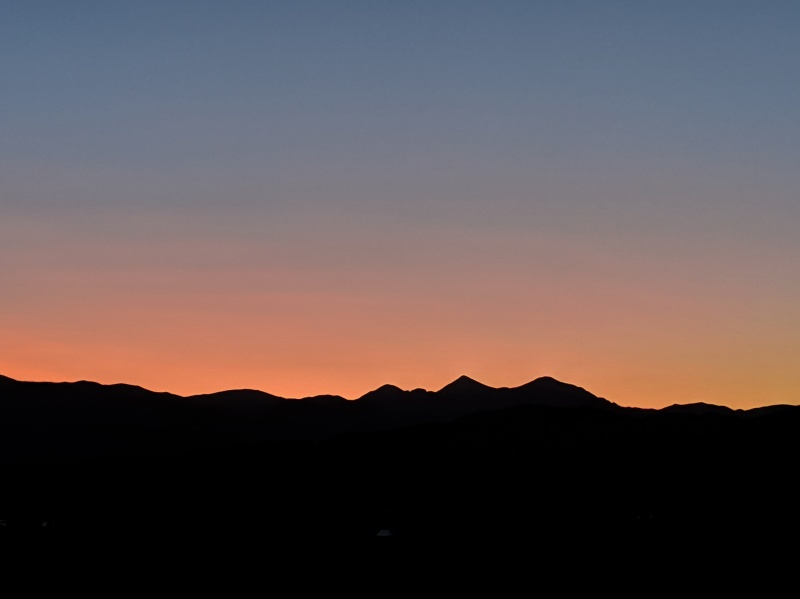
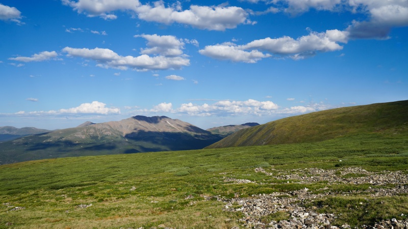
Silhouette of Grays and TorreysBaldy and Guyot
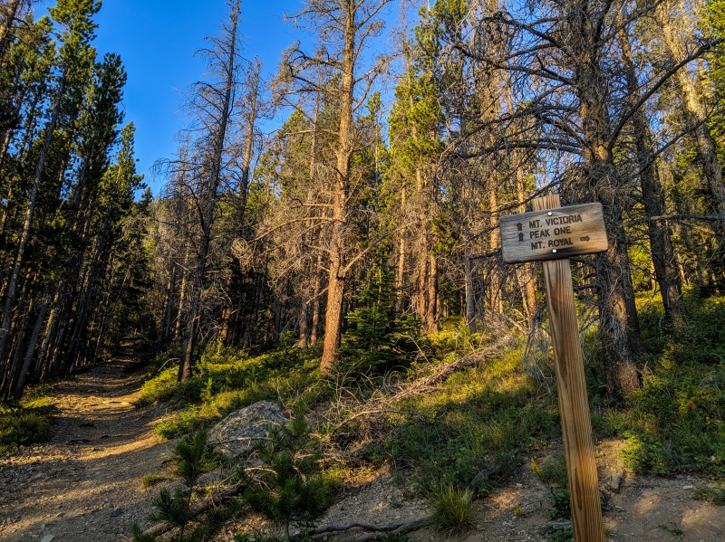
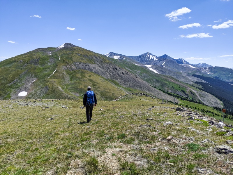
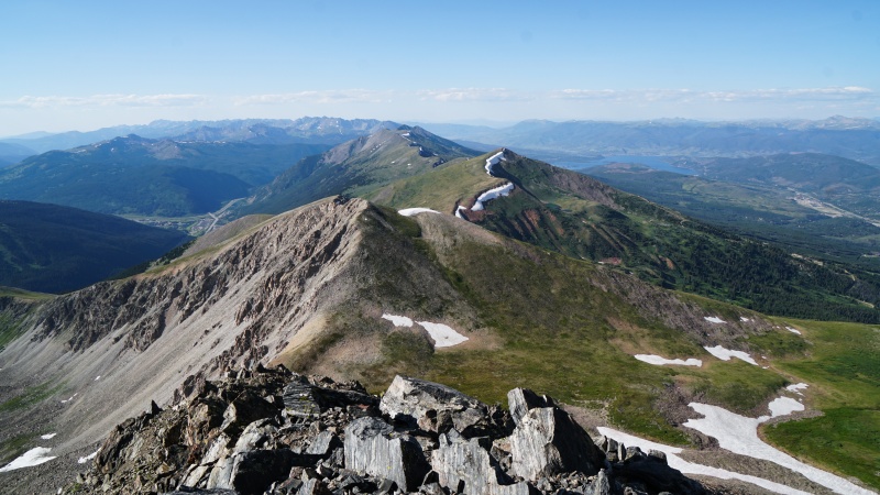
The route to Peak One is straightforward - we followed a steep well-worn trail until we got to Peak One /Mount Royal junction. At the junction we stayed left, and once we reached treeline, we ascended the ridge. I felt a lot better on the summit than I did fist thing in the morning. My muscles were finally warmed up and ready for the rest of our big day. At 3,800' I knew we had gained at least half of the elevation. Peak One was a repeat for both Ezra and I. It has great views of Gore Range, Lake Dillon and the towns of Summit County. I highly recommend hiking it, even if you are not planning on doing the traverse.
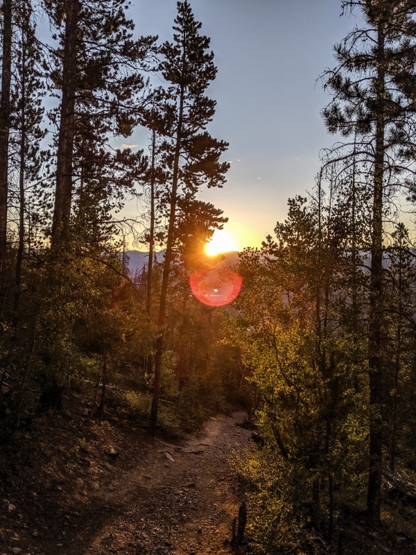
Morning sunThe trail is a lot steeper than it looksTrail Junction where you need to stay leftPeak 1 has fantastic views!Tenmile Peak from the summit of Peak 1
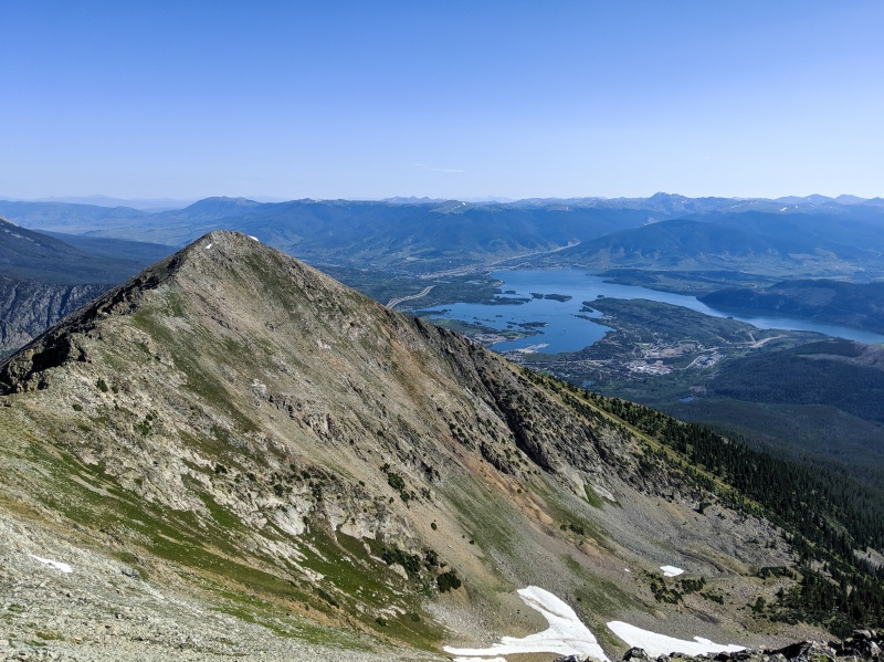
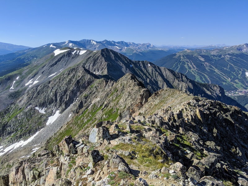
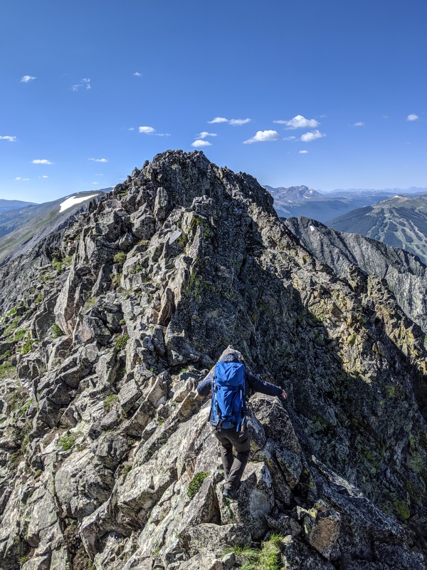
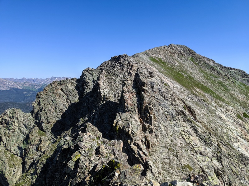
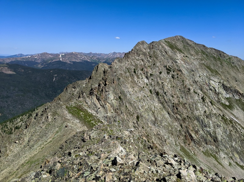
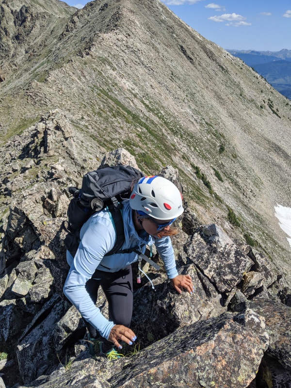
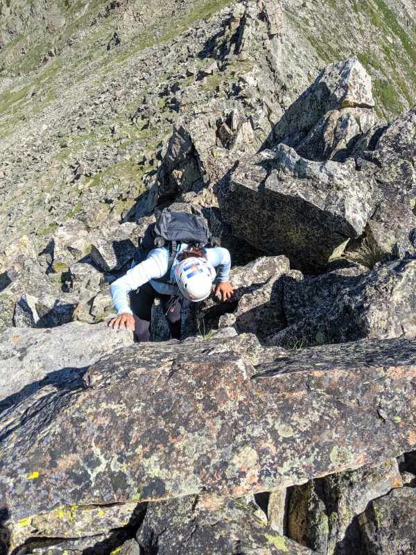
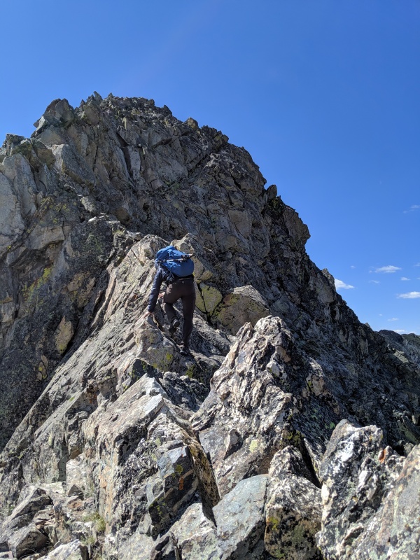
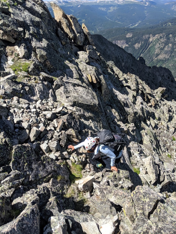
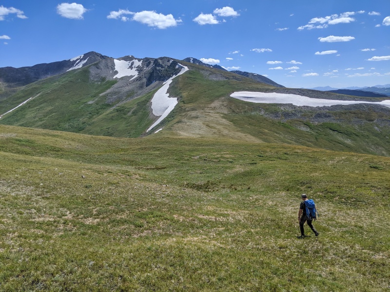
After having a short snack break we continued on to Tenmile Peak, which was only about half a mile away. It was a quick jaunt, and before we knew it we were standing on our second summit of the day. We could finally see the crux of our route, the rugged ridgelines that connect Peaks 2, 3 and 4. Traversing these ridges was the most exciting part of the day. The rock was mostly solid, and I thought route finding was a lot of fun. It's actually quite intuitive based on the terrain. Scrambling portions don't really exceed C3, unless of course someone feels more adventurous. The Dragon is a prominent rock formation between Tenmile Peak and Peak 3. To bypass it, we descended 75-100' to the West by following a faint trail. After that gaining the ridge to reach the summit was easy.
Looking back at Peak 1We can finally see the rest of our route!
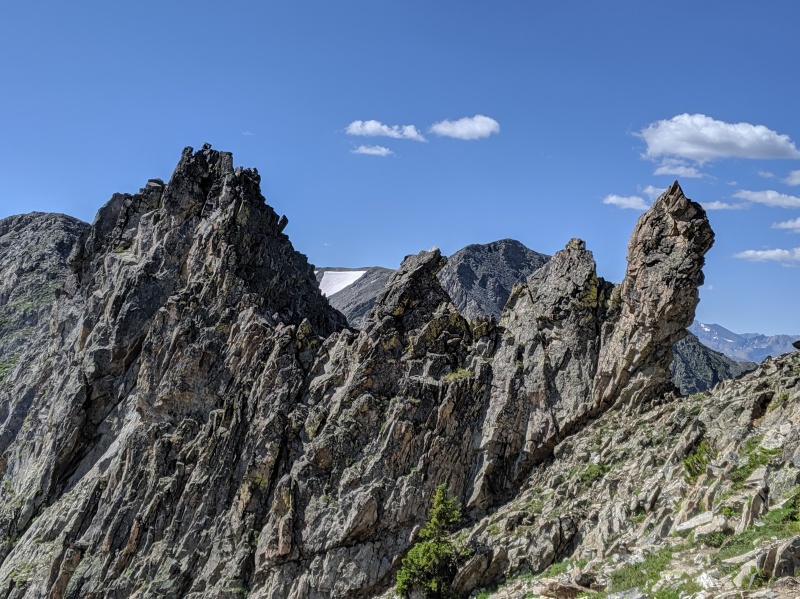
We bypassed this large gendarme by dropping West through the notchDownclimbing toward the notch
At the notch, looking West
Looking back at Peak 1"Summit" of Peak 2.5
Downclimbing on the East side of the ridge toward the DragonThe Dragon
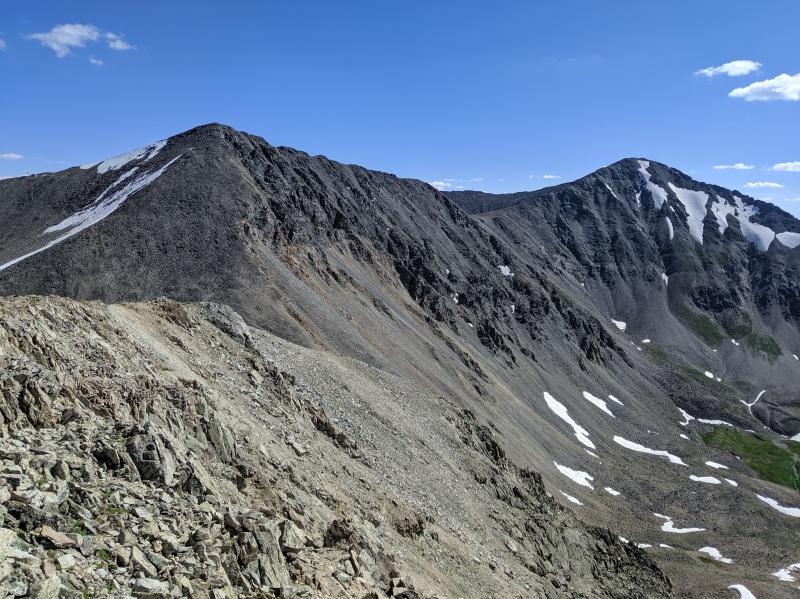
Summit of Peak 3, looking back at Peak 2Imposing ridge of Peak 4 from Peak 3
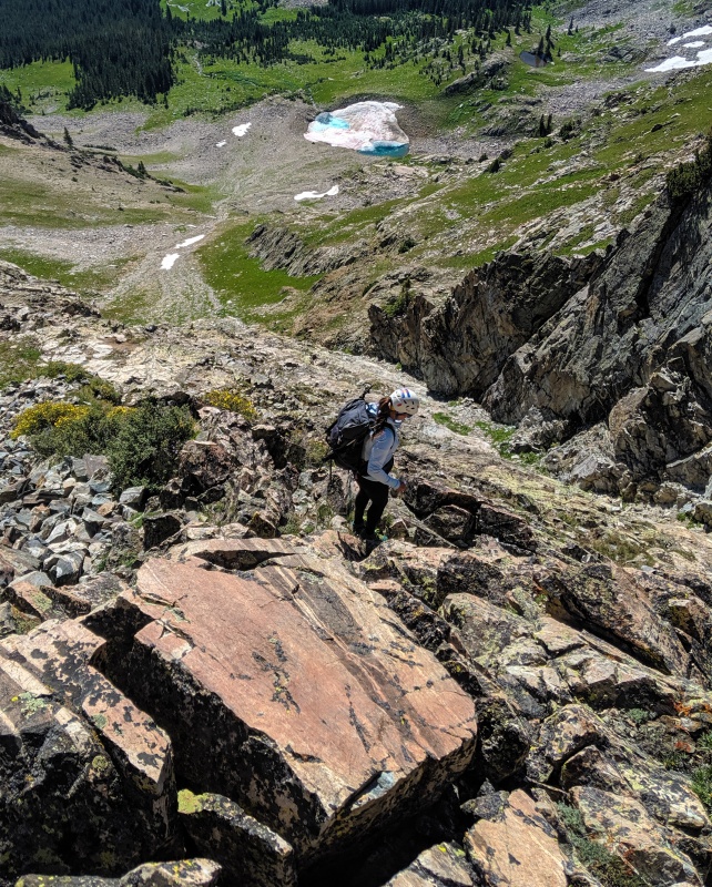
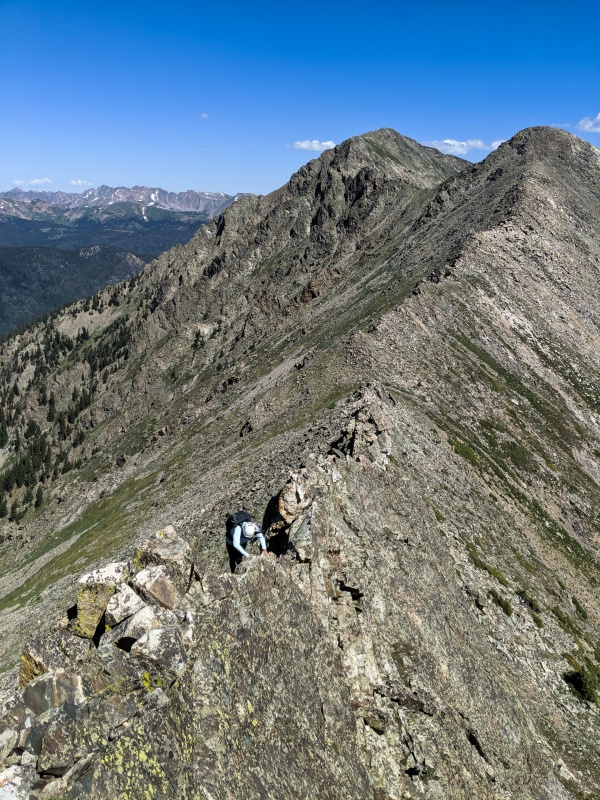
Traversing between Peak 3 and Peak 4 would be our last difficult section of the day. The ridge looked imposing from a distance, but once we got closer we could see exactly where we needed to go. For the most part we stayed ridge proper, and whenever we encountered difficulties we found ourselves on the West side. There was definitely some dramatic exposure on this portion of the climb, even a couple of knife edges. We enjoyed every moment of the sustained scrambling these two ridges offered us.
This is what the ridge looks like up close - steep but solid rock!
One of he short knife edges
Another knife edge, this is probably the most exposed section of the climb
Near the summit we opted to stay ridge proper on C3 solid rock, vs C2 loose gully
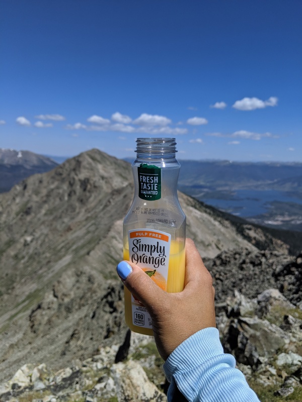
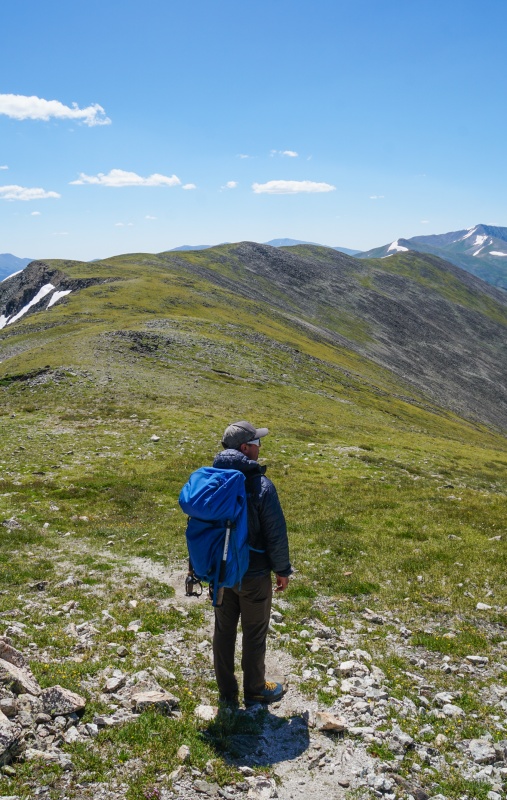
As we topped out on Peak 4, the terrain went from rugged cliffs to grassy rolling hills. The weather was still beautiful, except for very strong wind. Luckily it wasn't cold, just annoying because it made walking a bit challenging. My backpack acted like a sail, threatening to flip my body over. We stopped for another short break and I rewarded myself with some orange juice. For some reason when I hike at higher altitude I always crave orange juice and apples.
Cheers!Looking toward Peak 5, it doesn't get any better!
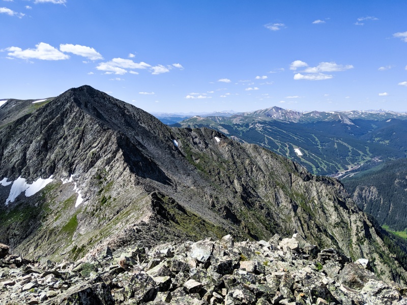
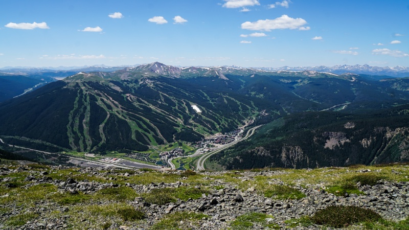
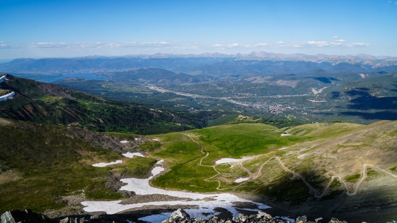
The ridge between Peak 4 and Peak 6 was uneventful . We didn't gain or lose much elevation, it felt good to take a "break" from constantly going up and down. We weren't moving slow, but we weren't running either. As we walked along, I enjoyed the views of Copper Mountain ski resort, Fremont Pass and Breckenridge from our vantage point. Somewhere near Peak 5 we encountered the first two people of the day - two ladies hiking a segment of Colorado Trail. Eventually we had to split away from the trail, as it started to descend to the West, and we needed to keep going South toward Peak 6.
Summit of Peak 5 is so flat, I had to use GPS.
Dear wind, pls don't blow me off the ridge, m'kay?? Thx!!
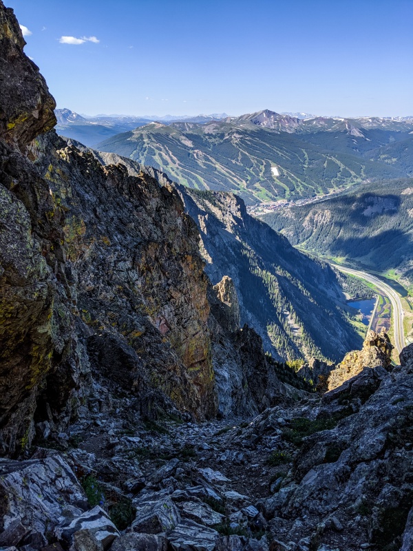
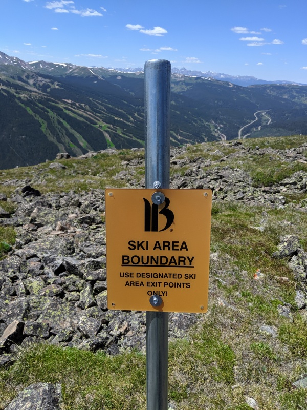
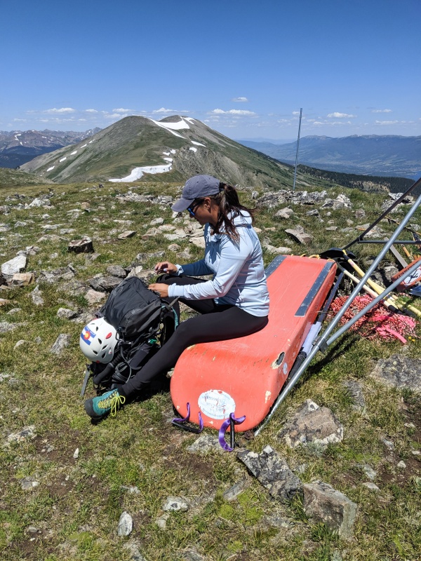
We decided to take a longer break on top of Peak 6. At that point we had entered Breckenridge ski resort boundary. Very conveniently an emergency sled was left on the summit. It turned out to be a comfortable place for a quick cat nap. Thank you ski patrol!
Civilization!Bed and breakfast on top of Peak 6!
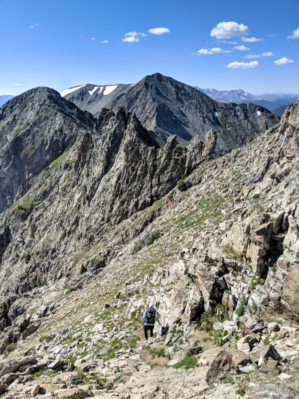
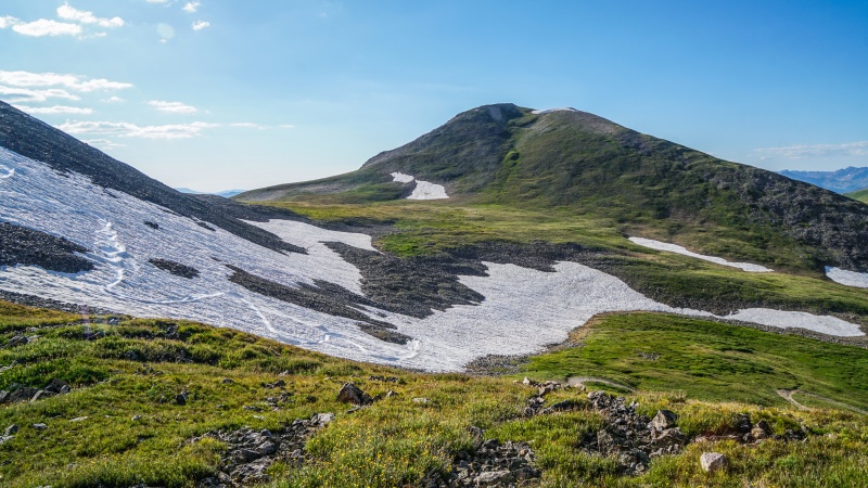
After we finished eating, drinking and taking energy shots it was time to crush the remaining four peaks. This is where our brisk walk turned into a painful slog. Even though we could see the ridgeline the whole entire time, due to an optical illusion it was hard to tell how much elevation we would gain/lose between each mountain. Peak 7 was probably the hardest for me, even though it's just a small bump along the way. We had to drop and re-regain significant amount of elevation while going up a very steep slope. It would probably seem a lot easier if I was mentally prepared for it.
The Beginning of our slog to Peak 7Summit of Peak 7
On the summit of Peak 8 we ran into a solo hiker who passed us somewhere near Peak 6. Earlier that week he returned to Colorado after successfully climbing Kilimanjaro. He was also doing the traverse. After a few minutes he took off ahead of us, however it wouldn't be the last time we saw him that day.
Summit of Peak 8Descending steep grassy slopes of Peak 8 toward Peak 9
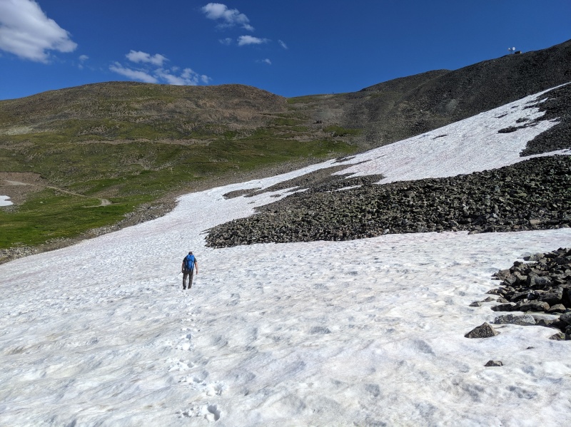
As we started to descent Peak 8, I realized we only had two mountains to summit before the finish line! I knew it wasn't going to be easy, at that point our legs were getting tired and we still had approximately 2,000' of elevation to gain for the day. Luckily most of the terrain was covered in tundra and easy to navigate. As we stood on top of Peak 9, we decided the fastest way to ascend Peak 10 would be hiking the 4WD road to the saddle, then following the ridge to the summit. It turned out to be the most brutal 1,200' of gain. At that point I was feeling drained of energy and my lungs were starting to burn.
On the summit of Peak 9! Looking at Peak 10 and Crystal Peak4th of July Bowl is still holding snow! It's almost September
About halfway up the 4WD road, an SUV whizzed by us. When we got to the saddle, we ran into the SUV driver who was with the solo hiker we talked to on Peak 8. As it turns out they were buddies. Instead of hiking all the way back to town, they were going to drive down together for steaks and beers. These nice fellows offered us a ride, but we graciously declined. We had to finish the sufferfest under our own power.
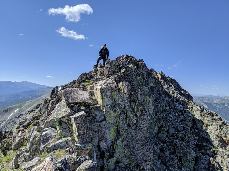
Finally, after 500' of gasping for air we were standing on top Peak 10, our last summit of the day and another repeat for me and Ezra. We took our last break, and only then it occurred to us that we still had to walk 6 plus miles before our day was officially over. By then the wind had completely died down, and the weather was holding up beautifully, there was no rush for us to get down.
We made it! Last summit of the dayNice view of the whole entire ridge we just traversed starting with Peak 1Town looked so far away
Our hike from Peak 10 down to Breckenridge was uneventful. Not going to lie, my knees and hips were screaming with pain. Also, being surrounded by ski lifts and not being able to snowboard down seemed very unproductive. Once we made it to Beaver Run, we went inside to refill our water. Sadly we had just missed the free shuttle back to Frisco, it meant we had to wait at least an hour for the next one. At that point our phones were dead, and we didn't bring our wallets. Basically we were broke, we couldn't tell what time it was and we couldn't make phone calls.
Final look at peak 9 on the way down
At the Summit Stage transfer station we were surprised to see the two guys who offered us a ride earlier. Turns out they never got to enjoy their steaks and beers. On the way down they blew not one but two tires, and ran out of gas! We ended up riding the bus and walking to the trailhead together. It was dark by the time we made it back to the truck and said our good byes.
After years of talking about doing The Tenmile Ten Traverse, it felt good to finally complete it. Also, this is my fist ever trip report on 14ers.com! How funny, it doesn't involve a single 14er and only couple of 13ers ;) Hope you enjoyed reading it!
Some additional information:
Elevation gain after we topped out on Peak 10 (before my phone died): 7,200'
Mileage: approximately 18 miles
Water: 2 liters plus a small bottle of orange juice
Energy shots: 2
Bruises: 2
Mountain goat sightings: 0
Thumbnails for uploaded photos (click to open slideshow):
I did this about a month back and should have put a report up too. The end of our day ended about the same as yours with the painful slog down into Breck (phone dead, etc.) with the exception that we caught the bus right away. My only advice is bring adequate water on this traverse, as our party was definitely dry-mouthed by Peak 9 and water is only in the form of snow (if it'll melt!). We had intended to go to Crystal, but the energy and enthusiasm was gone. Also, the scramble up Peak 10 (vs. the road) can be done...it is actually easier than it looks.
Thanks amkempf! No Royal because I climbed it so many times over the years, I lost count.
Bringing enough water is definitely important! Luckily we had plenty, I actually had some left over when we re-entered civilization. And yes, you can certainly ascend peak 10 by going straight up, we just didn't feel like dealing with talus. Congrats on completing the traverse!!
Caution: The information contained in this report may not be accurate and should not be the only resource used in preparation for your climb. Failure to have the necessary experience, physical conditioning, supplies or equipment can result in injury or death. 14ers.com and the author(s) of this report provide no warranties, either express or implied, that the information provided is accurate or reliable. By using the information provided, you agree to indemnify and hold harmless 14ers.com and the report author(s) with respect to any claims and demands against them, including any attorney fees and expenses. Please read the 14ers.com Safety and Disclaimer pages for more information.
Please respect private property: 14ers.com supports the rights of private landowners to determine how and by whom their land will be used. In Colorado, it is your responsibility to determine if land is private and to obtain the appropriate permission before entering the property.


")
")
")
")
")
")
")
")
")
")
")
")
")
")
")
")
")
")
")
")
")
")
")
")
")
")
")
")
")
")
")
")
")
")
")
")
")
")
")
")
")
")
")
")
")
")
")
")
")