| Report Type | Full |
| Peak(s) |
Wilson Peak - 14,021 feet Mt. Wilson - 14,256 feet El Diente Peak - 14,175 feet |
| Date Posted | 08/16/2019 |
| Date Climbed | 08/15/2019 |
| Author | Wentzl |
| Wilson Group Grand Tour |
|---|
|
Climbing all three of the Wilson group 14ers has seemed like a good idea for a long time. Several times I have set out with this intent only to bail on the effort for one reason or another. On August 15, 2019 the stars aligned and the vision realized. Full disclosure, this was a long day. I did not opt for the most expedient, but for as natural and aesthetic a loop possible. This turned out to be an 18 mile beast of a climb and pretty much wore me out, but it was an exceptionally beautiful and fulfilling way to spend a day! I started out at the Silver Pick trailhead toward the Rock of Ages (ROA) pass at around 6:30 a.m. I wore my trail runners, Hoka One One Speedgoat 3 and carried an axe. I used the axe just once all day and that was still 1000' below the ROA pass in Silver Pick Basin. There was even a short section of ice in Silver Pick that I opted to hike under rather than cross. It was a place (never thought I would say it) where I would have used micro spikes if I had them. 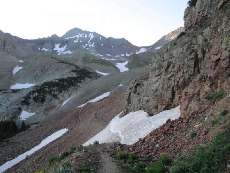
So I actually detoured around this. Got 10 steps into it with my axe and yes, I could have self arrested, but it was just a strange moment on rock hard ice and the walk around was just 5 minutes. Well, enough. If you go here soon, you will have a moment. Just a few minutes later, this: 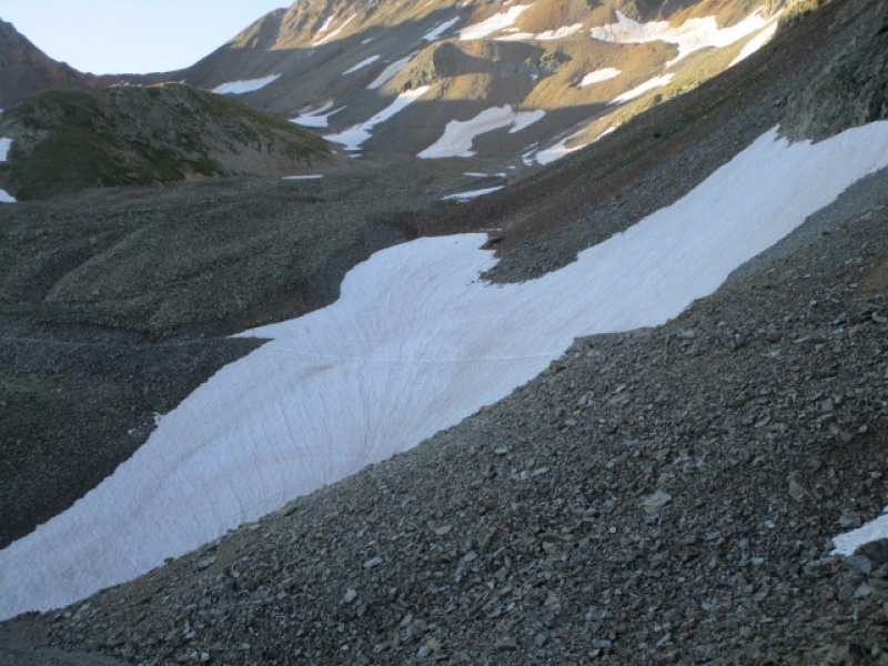
This is the second of the snow fields you will encounter hiking up from Silver Pick. This one looks worse, but is much easier. This one I strolled across with axe in hand, but never needed. Microspikes would be ok, but I did not have them, so I have to say, not necessary. And all this, still 1000' before even crossing over ROA pass and beginning the day. After this, the switchbacks up to the traverse to the pass appear clear of snow. I detoured into the basin to see if I could find the axe lost by jonbhood as posted on his peak condition report. Your axe is long gone. So I busted my ass up to the pass directly and looked over to see how conditions looked on Mt. Wilson. 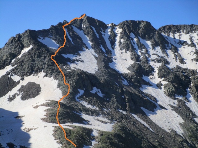
Eyeballing the basin and peak I had a second thought about my plan for a trifecta, but one step at a time. Focus back on Wilson Peak. I caught up to Sawyer, a guy from Texas who was on a quest to finish the 14ers. A hell of a job he was doing, having knocked off something like 26 this season alone. Anyway, if you are reading this Sawyer, let me know how your day turned out and if you found Grouse Gulch a nice way to access Handies from Silverton. 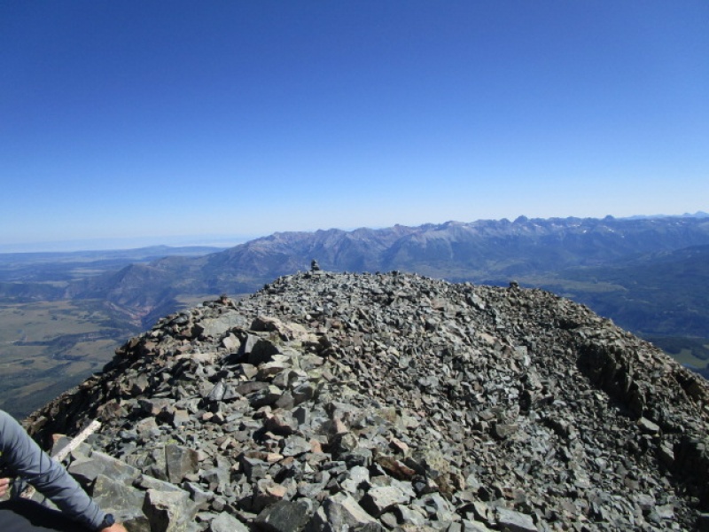
So back down at the ROA saddle I figured it was a nice day, I had food and water, knew the route ahead, no reason not to. And forward I pressed. Descending off ROA pass into Navajo Basin there was a perfectly placed snowfield dropping from the trail to the start of the Mt. Wilson hike, after that I knew. Here is looking back at that. Easy run on sneakers. 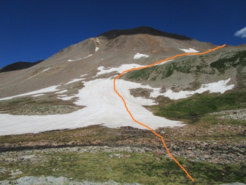
Turning to the next objective at hand. Here is a look up with an illustration of the route taken. 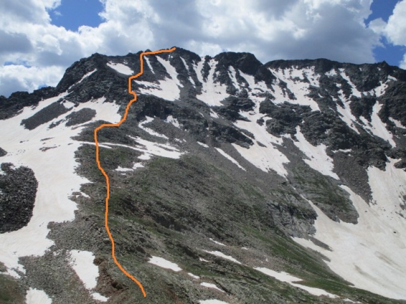
The previous photo shows the standard route on Mt. Wilson. In a big snow year, you could just bust right up to the ridge. Insiders tip. Ridge is more fun than face. If you are anywhere near the proper route you will see this. 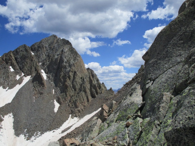
And this ahead 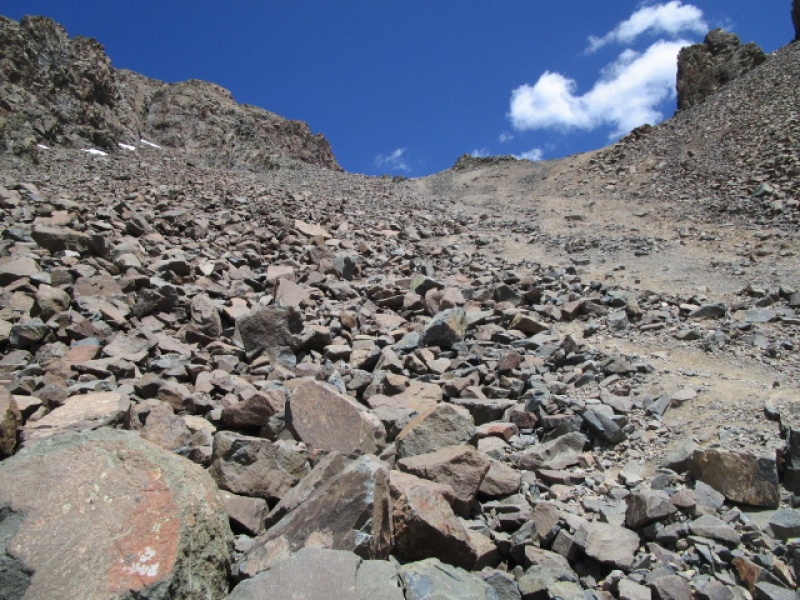
Gain the ridge and follow it to the summit. This has been missed by everyone I have ever met on the mountain. Here is a look from just below the final crux sequence looking back at the ROA pass 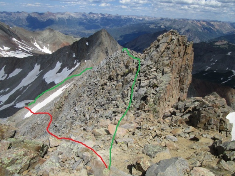
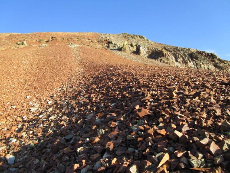
I have been going up here for years and the red trail has been beaten into the obvious correct route. IT IS WRONG. Sure it works. You will get down, eventually. I have watched folks stranded above the cliffs that the red line leads to until after dark. ok. Trip report intended as route advice for whoever wants it. 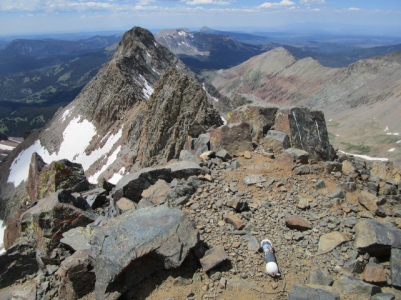
Hurray! I am on the summit and all alone, or so I thought. When out of nowhere appears Susannah. She had come up from Kilpacker and surprised the hell out of me. We found our way back down to the saddle between Kilpacker and Navajo basin and parted ways. If you are reading this, let me know how your day turned out. She was heading for Wilson Pk. and I for El D. 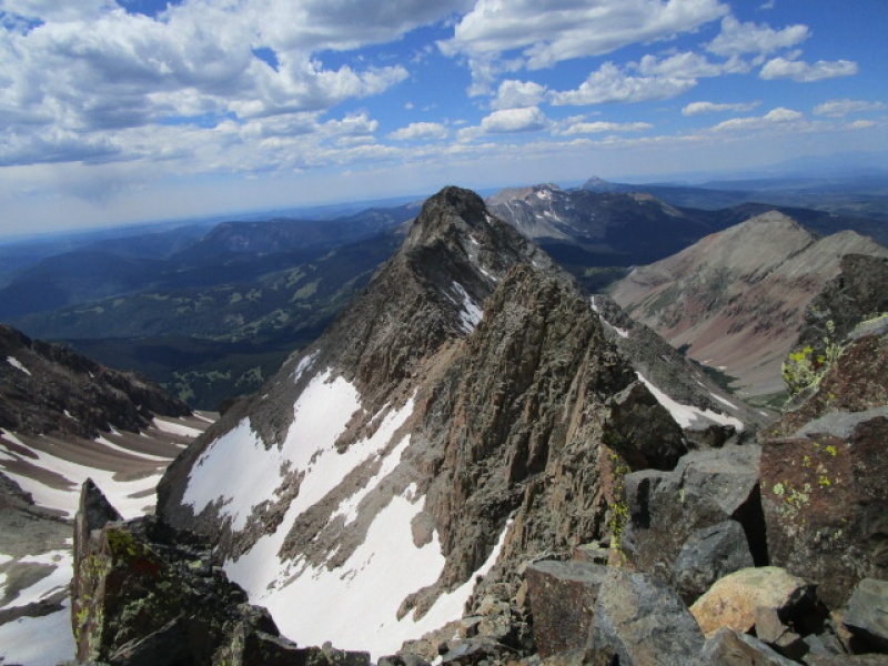
The descent from the Kilpacker/Navajo basin saddle to the start of the traverse to El Diente was mostly snow free. Just a bit of slushy mud to make the cross over. Here is a somewhat less than informative view of Kilpacker Basin 
OK, so it is just after 2:00 p.m. and I am starting the traverse to El Diente. I had done this several times and I am estimating that I will still get back to the car well before dark. Still a bit behind by projected splits, but good to go. 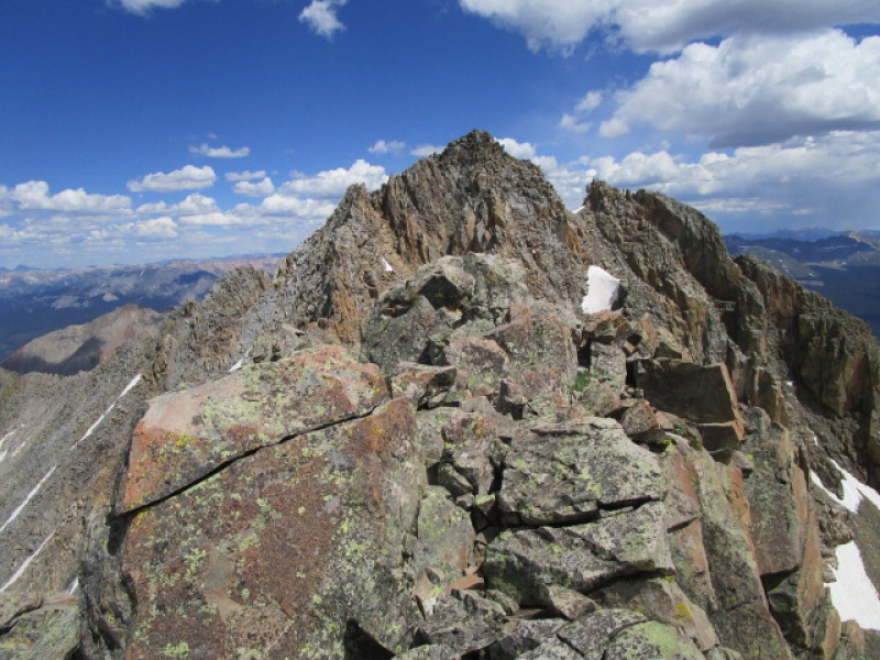
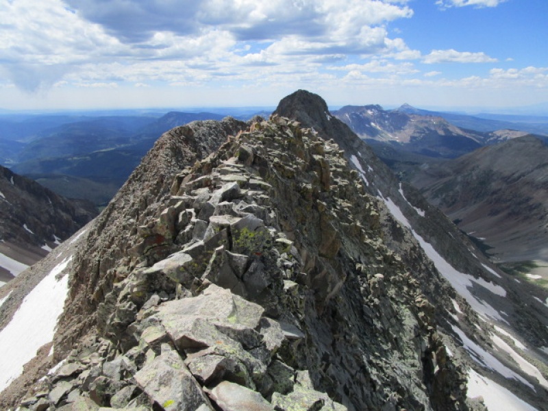
Everyone has done trip reports about the Mt. Wilson/El D. traverse, so I won't bore you further, except to say that after the organ pipes, if you try to keep well to the actual crest of the ridge, you might find this: 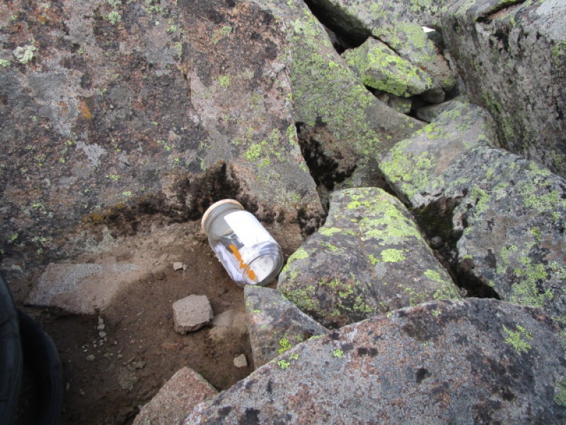
Not sure if I remember the name right, but it was a register that someone left more than a year ago and one that only 10 people had signed since. So go look for it if you want, or not. Just something interesting. 
4:15 p.m. and heading home. 4 hours of daylight and all down hill. Easy, right? Oh man, do not underestimate the West Ridge of El Diente. I have written this up in an earlier trip report, maybe even twice, because it is just that cool. But here, I have to say, This is a difficult and serious route. If you are reading this and thinking it sounds like fun, pause here. No One should attempt the El Diente West Ridge route down as a first attempt. REPEAT If you want to attempt the El Diente West Ridge, ascend first. DO NOT TRY THIS DOWN as a first attempt Make a long story short. Summit of El Diente to Navajo Lake over 3 hours. Yeah, I know. Should have been shorter. Maybe I am getting old or maybe the end of a long day, but holy cow. this was AWFUL. In earlier reports I have documented the difficulties in gettinf from Navajo Lake to the El Diente west ridge. These are still real. And they are not easier getting from the El Diente West ridge to Navajo Lake. It is just a difficult and tedious long effort. If anyone has an alternative that I have missed, please post it. OK, so here we go. Leaving the summit of El D at 4:15 I know all the obstacles ahead having been there several times ago. But somehow, everything is unfamiliar. The lateness of the afternoon, reminds me that forward is the only way. 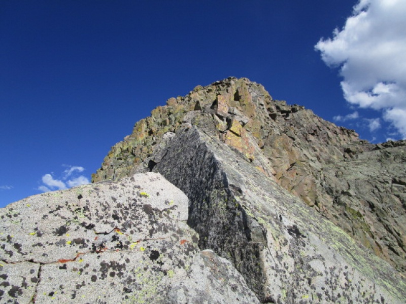
I press on down the ridge, familiar as it is having been here before, yet the crux seems difficult. The route finding on this ridge is dastardly. I have to stress. This trip report would be a useful tool to someone who wants to do the trifecta, but do this trip IN REVERSE ! But here we are going down the West Ridge. After the initial drop off the summit you get a fun run as shown here. 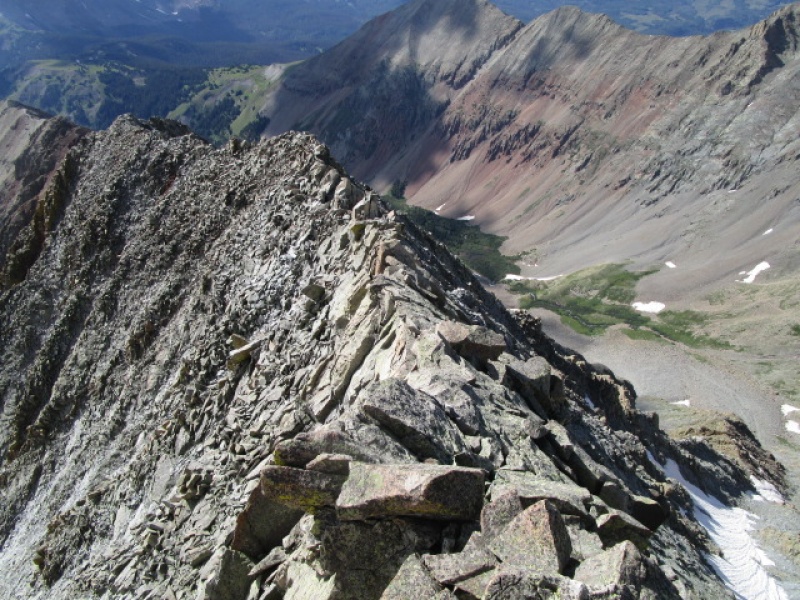
Then you run into this 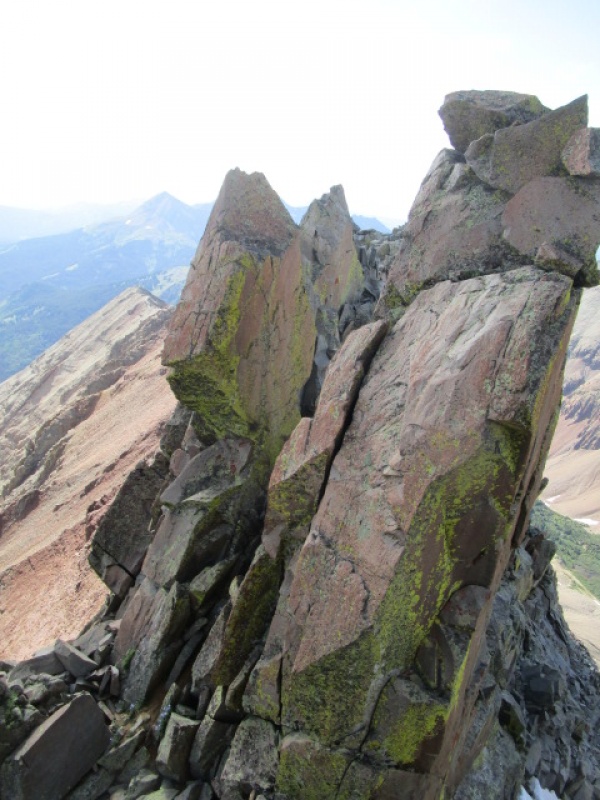
Now just getting here is difficult. A large north facing gully will present as an easy way out. DON'T fall for that. Climb back and drop to the south and find this. 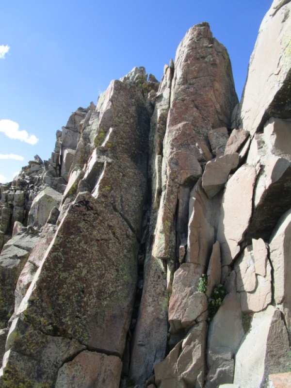
Breath easy. You have broken the code. 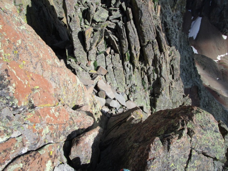
As a trip report on the Grand Tour, this report has slipped a bit, but still a bit of useful information for anyone interested in the West Ridge of El Diente. 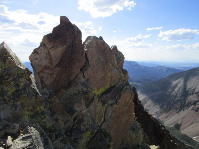
Yeah, after you think you have figured it out, you will find this blocking your path. It is an ugly monster. I got to the top of this climbing west to east on my first try. ha ha. more on that if you ask 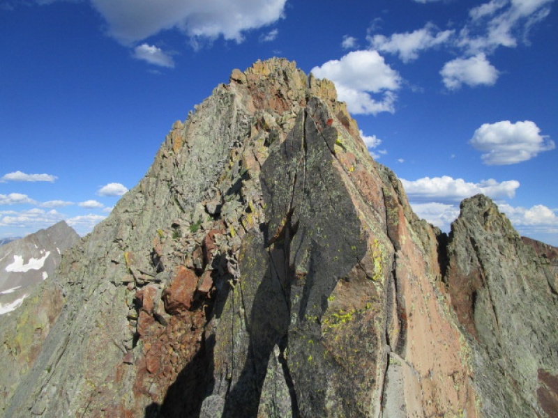
Still lots of daylight and I figured getting back to the car easy before dark. NO. Do not underestimate the El Diente West Ridge for it's diabolical nature. 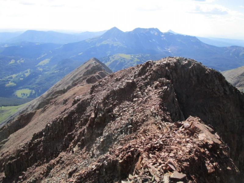
Getting off the shit on the West Ridge took another 2 hours. If anyone has a better solution, please email me or post it here. I have done this ridge several times. Each time I hate what comes next. It is worse that the 2800 feet of suck on S Maroon. And by worse, I mean not even in the same ball park. But here you go. Up or down, it sucks. 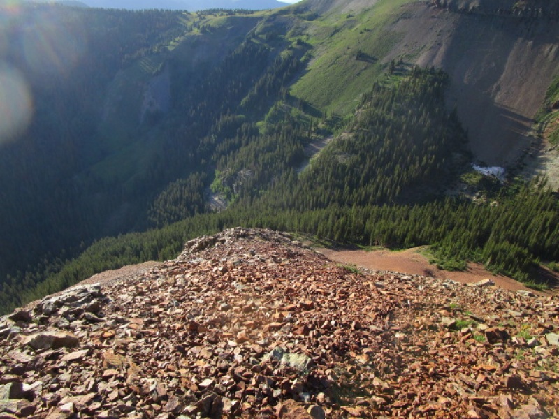
The ridge seems to go on forever. Here is my best advice. First, just to repeat, go UP this ridge first. Do Not use the El Diente West Ridge as a casual descent. It is difficult. Rated as 4th class, there are 5th class moves on this route. Don't doubt it. But going down, continue on the ridge crest until the red rocks turn grey. Then turn right and head for the nearest trees. Get into the trees and follow the sound of the river. Cross the river above the falls and join the Navajo Lake trail. Follow the Navajo Lake trail either Up to ROA or down to Woods Lake cut off or all the way back to Kilpacker. Oh man if I could only express how awful these next 45 minutes were. I am not saying this is the best way, just that this worked for me 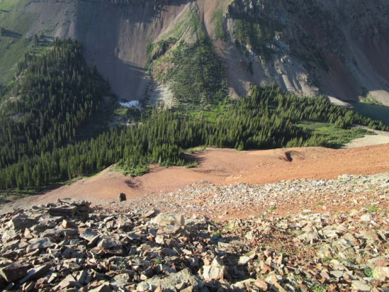
Final thought. 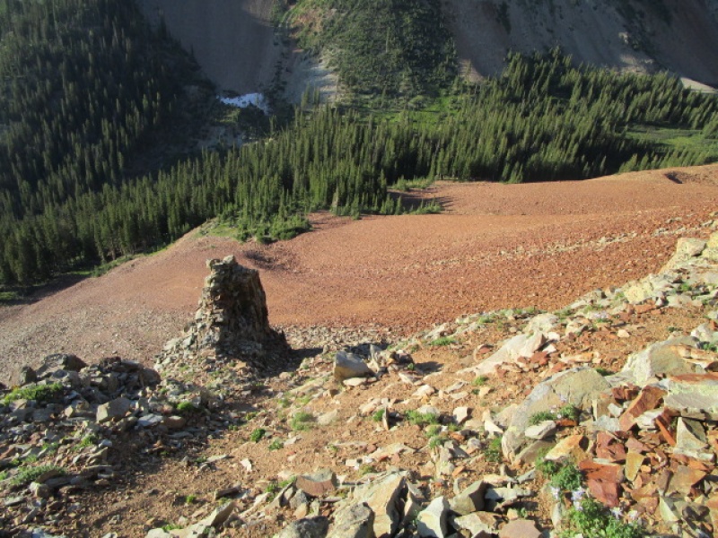
Once you exit the ridge the next objective is to reach the Navajo Lake trail. To get there you need to cross the stream that flows from Navajo Lake. Every time this is a little different. This time I hike uphill towards the lake (Navajo Lake) and found this: 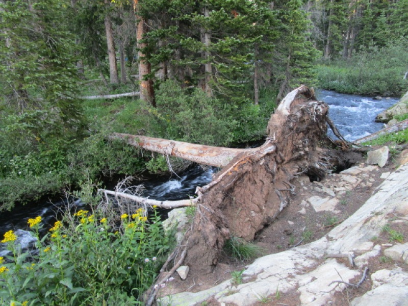
So at this point, you have an option. Head back up to ROA pass and back to the trail head or go down and hook up with the Woods Lake trail. This is something that is overlooked in my opinion. Here is what to look for if you want to find the log bridge from the Navajo lake trail 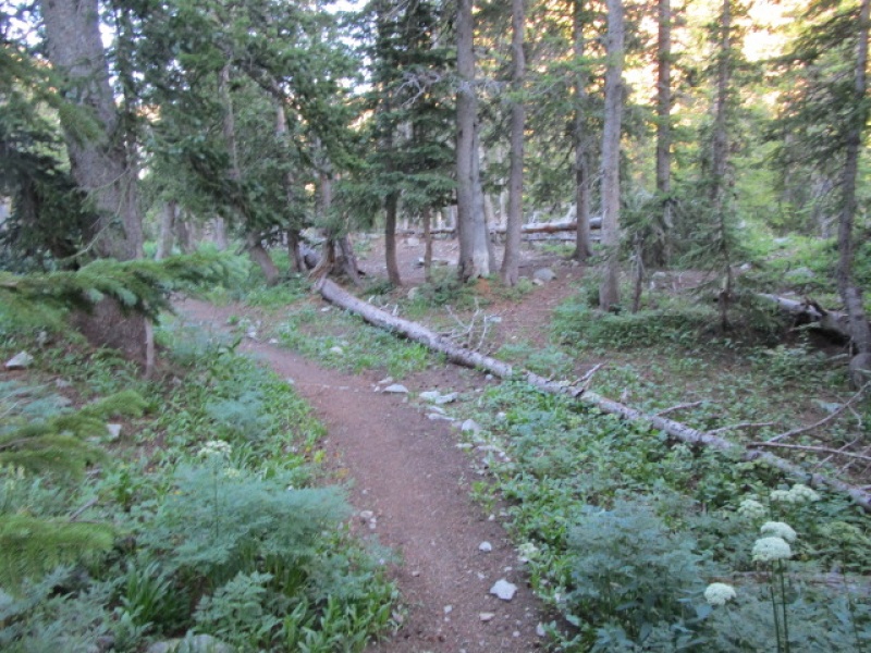
Hiking out to the Wood's Lake at around 7:30. 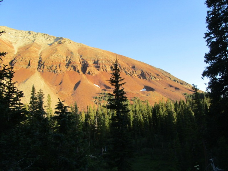
I was feeling the miles by now and just plodding along. Have to admit, I wished the car was closer than it was at this point. 
Forward to the end 
The Elk Creek Trail is underutilized. It is a beautiful trail that needs more travel. That said, don't use this trip report as a guide if you are ending up on the Elk Creek trail in the dark. Shortly after this last photo was taken, I was navigating for about 90 minutes by headlamp. This trail is terrible and would leave most people waiting in the dark until dawn to get home. DO NOT attempt this trip if you will navigate this section of trail in the dark. You will get lost and spend a night out in the dark. I posted a trip report a couple years back where I suggested that doing the Wilson Trifecta would be fun starting with El D west ridge. Having done that backwards, I can now attest that I was right. Take this report and do it backwards! The West Ridge is more difficult than any of the "Great 14er Traverses" so don't take this on with a casual attitude. Here are the splits if you are interested. I am steady, but not fast. If you are a trail runner, cut it by 1/3. Last 3 miles, I was walking dead. Start 6:30. Summit Wilson Pk. 10:30 Summit Mt. Wilson: 2:00 Summit El D.: 4:00 Descent to Navajo Lake trail: 7:30 Woods Lake/Elk Creek trail junction: 8:00 Silver Pick parking lot: 10:15 Thumbnails for uploaded photos (click to open slideshow): ")
")
")
")
")
")
")
")
")
")
")
")
")
")
")
")
")
")
")
")
")
")
")
")
")
")
")
")
")
")
")
")
")
")
")
|
| Comments or Questions | |||||||||||||||
|---|---|---|---|---|---|---|---|---|---|---|---|---|---|---|---|
|
Caution: The information contained in this report may not be accurate and should not be the only resource used in preparation for your climb. Failure to have the necessary experience, physical conditioning, supplies or equipment can result in injury or death. 14ers.com and the author(s) of this report provide no warranties, either express or implied, that the information provided is accurate or reliable. By using the information provided, you agree to indemnify and hold harmless 14ers.com and the report author(s) with respect to any claims and demands against them, including any attorney fees and expenses. Please read the 14ers.com Safety and Disclaimer pages for more information.
Please respect private property: 14ers.com supports the rights of private landowners to determine how and by whom their land will be used. In Colorado, it is your responsibility to determine if land is private and to obtain the appropriate permission before entering the property.


