Download Agreement, Release, and Acknowledgement of Risk:
You (the person requesting this file download) fully understand mountain climbing ("Activity") involves risks and dangers of serious bodily injury, including permanent disability, paralysis, and death ("Risks") and you fully accept and assume all such risks and all responsibility for losses, costs, and damages you incur as a result of your participation in this Activity.
You acknowledge that information in the file you have chosen to download may not be accurate and may contain errors. You agree to assume all risks when using this information and agree to release and discharge 14ers.com, 14ers Inc. and the author(s) of such information (collectively, the "Released Parties").
You hereby discharge the Released Parties from all damages, actions, claims and liabilities of any nature, specifically including, but not limited to, damages, actions, claims and liabilities arising from or related to the negligence of the Released Parties. You further agree to indemnify, hold harmless and defend 14ers.com, 14ers Inc. and each of the other Released Parties from and against any loss, damage, liability and expense, including costs and attorney fees, incurred by 14ers.com, 14ers Inc. or any of the other Released Parties as a result of you using information provided on the 14ers.com or 14ers Inc. websites.
You have read this agreement, fully understand its terms and intend it to be a complete and unconditional release of all liability to the greatest extent allowed by law and agree that if any portion of this agreement is held to be invalid the balance, notwithstanding, shall continue in full force and effect.
By clicking "OK" you agree to these terms. If you DO NOT agree, click "Cancel"...
Since there are now several good Trip Reports describing this route (two of which I wrote: A Meeker/Longs Tour and On Saws and Knives: Part 4) this will mainly be a pictorial report.
* * * * *
Introduction:
Kevin and I have known each other for several years now and we have hiked and climbed together on a few occasions. I've found him to be an excellent partner. We are roughly the same age, are very compatible hiking companions, and share similar goals and interests. Both of us have hiked extensively in RMNP and are familiar with various areas and trails in the Park.
One peak he had never climbed before was Mount Meeker. The last time we were together he mentioned that he would really like an opportunity to make a serious attempt on it. He knew I'd climbed it three times and that it was one of my favorites peaks, so he asked if we could try it this summer.
Besides my first summit, a solo climb via the Loft route way back in the 1990's, I've always done Meeker as a loop climb, going first up the 13er via the Iron Gates and then over to Longs via Keplinger's couloir, and finally descending the standard Keyhole route back to the Ranger Station. I LOVE this loop! It hits the best of both mountains and is one of my all-time favorite climbs. If the opportunity arose, I would repeat it every year I come out to CO.
But with our aging bodies, we planned this trip together with an open mind. We would simply see how we felt and play it by ear. Although the entire loop would be wonderful to experience once again, we could be content with just bagging Meeker if we didn't feel up to more.
The Climb:
We met at the Longs Peak parking lot by 2am. It seems every year it becomes more difficult to find a decent parking spot because of increasing crowds, so every time I return, I try to arrive slightly earlier than the last time. And each year now it seems that late morning storms arrive even earlier than the previous year, so it's in the best interest all around to begin an attempt on the early side.
We started up the trail shortly thereafter, our pace being steady, but relaxed. By the time we reached the Chasm Lake junction, we talked about using our micro-spikes over the lingering snowfield above Peacock Pool. This past winter and spring the Park had received some late heavy snowfalls, so we anticipated the snow crossing to be significant. And even though the last couple of days and nights had been fairly mild and the snow could possibly be soft and manageable, I was still hoping to at least give my spikes a try. I've never had an occasion to use them and I was anxious to see how they fared.
So when we reached the crossing, we put our spikes over our boots and walked across. I was pleased with how they gripped the icy surface, but I was also aware that we could have gotten by without using them at all either.
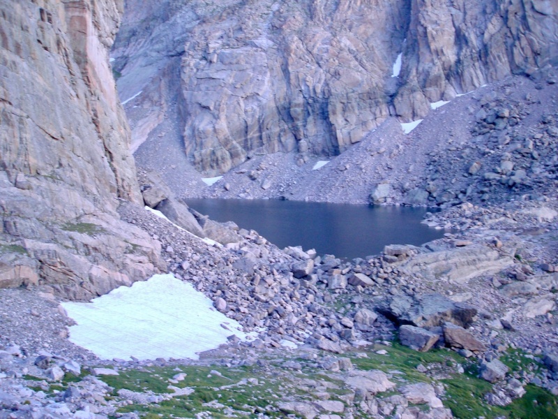
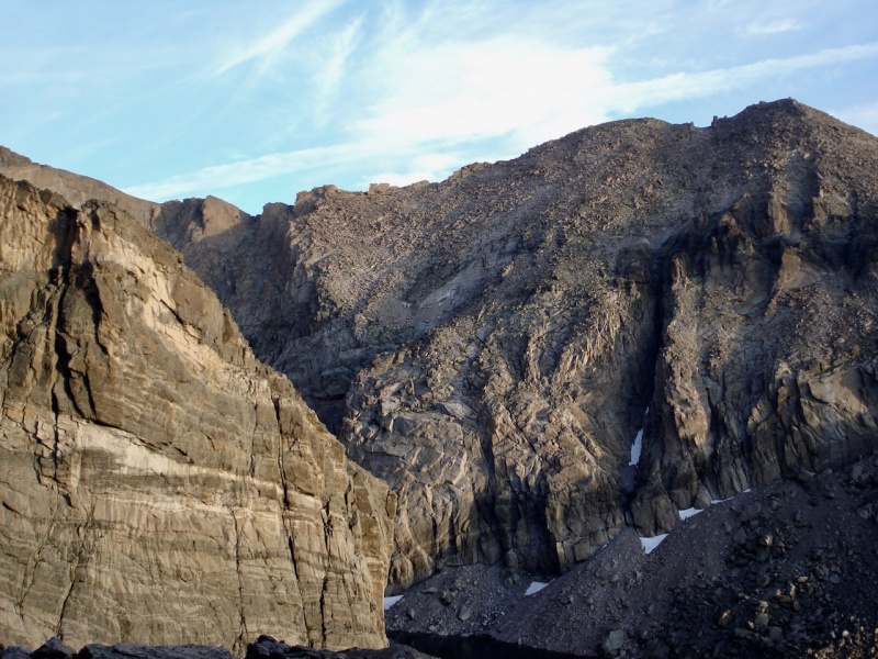
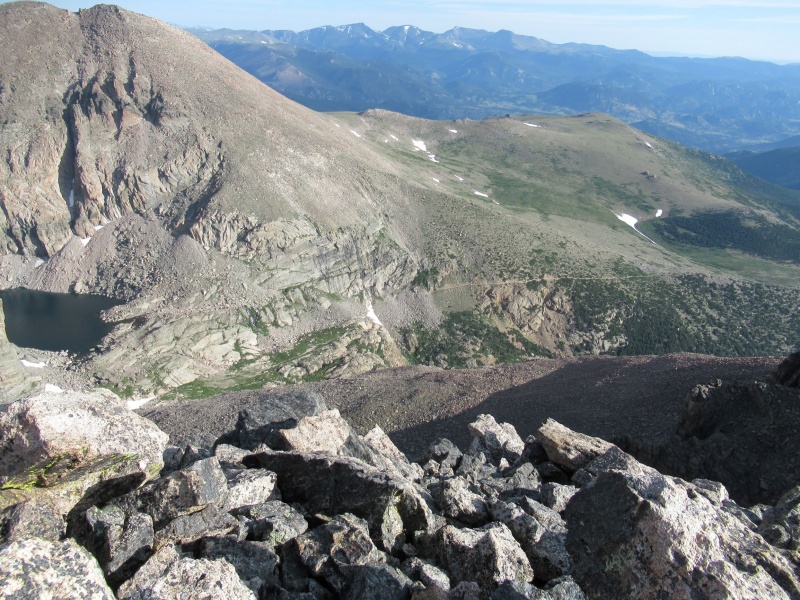
When we arrived at the base of the Gates, we broke from the trail and started boulder-hopping up the north slope of Meeker. We talked about returning back this way should we decide not to continue on to Longs, so I looked back several times to scope out our return route. We thought we could make a stop at Chasm Lake by cutting directly over to it so we wouldn't have to descend any lower than necessary.
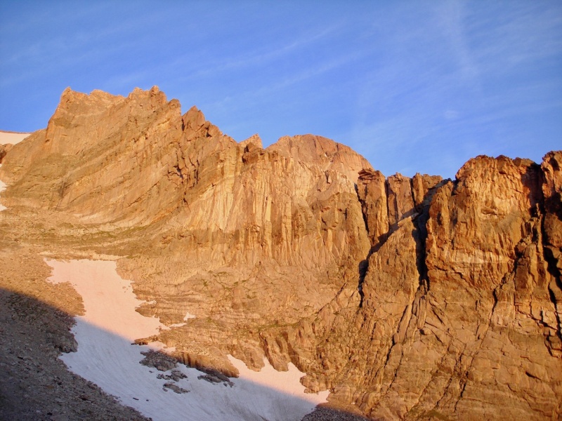
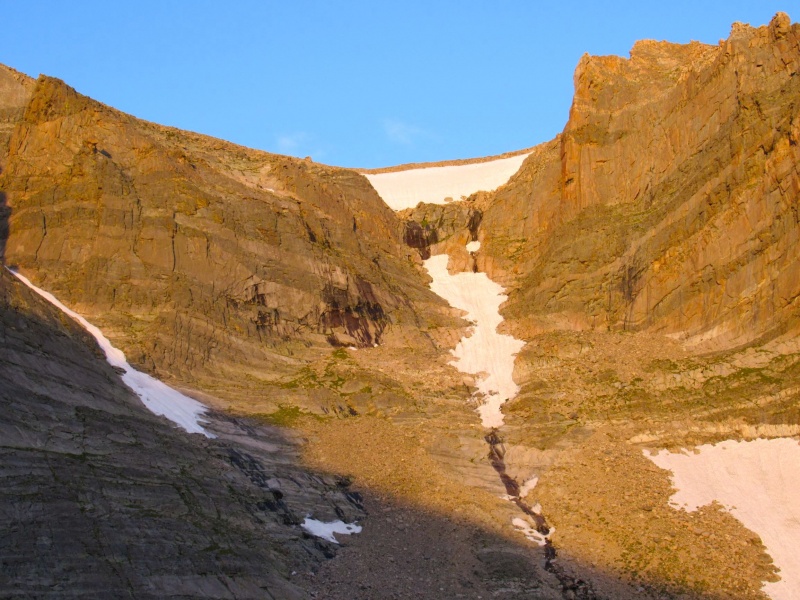
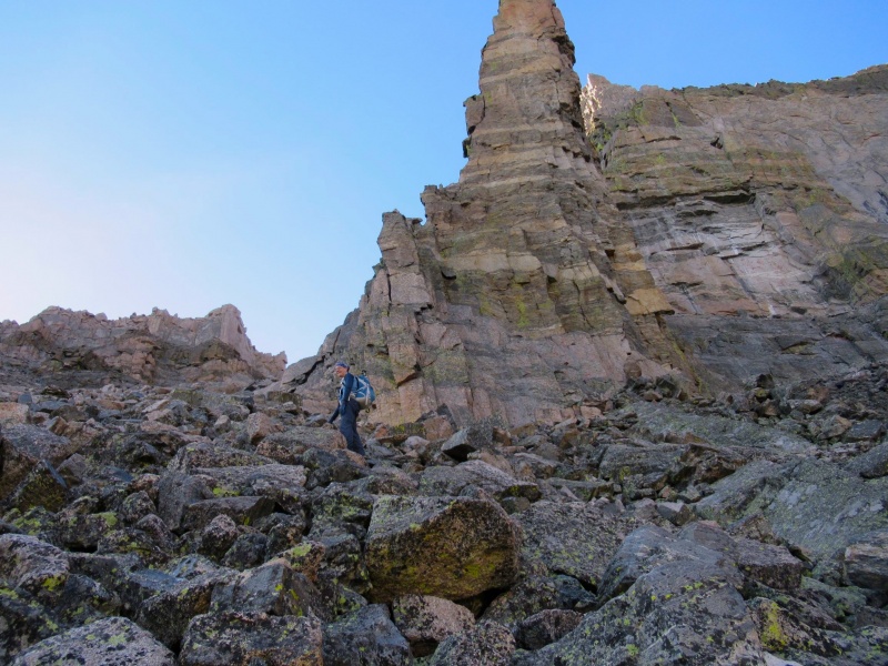
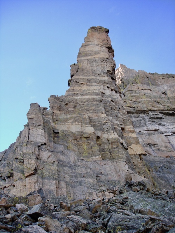
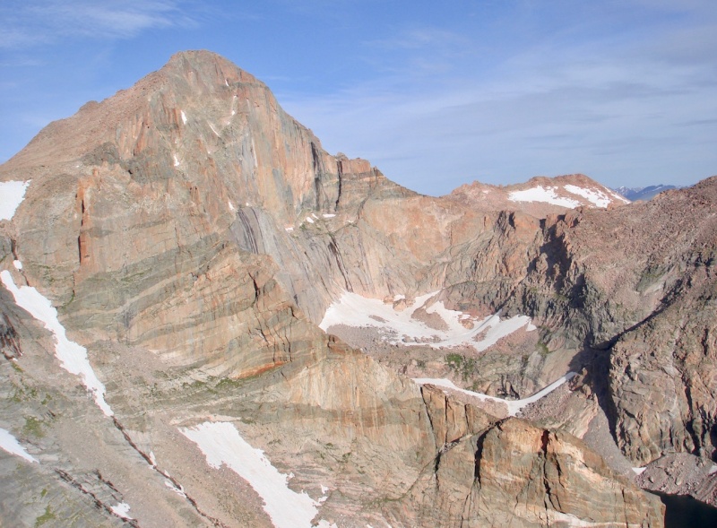
We planned to possibly return via Chasm Lake by cutting over to it just below the snowfield on the left.Chasm Lake from higher up.Behold! The Iron Gates of Meeker!Mt Lady Washington with Chasm Lake. (photo by mathguy)The Ships Prow now in full sunlight.A look up the Loft route. (photo by mathguy)Mount Lady Washington. (The Kneeling Camel rocks can be seen near the center low point of the ridge).
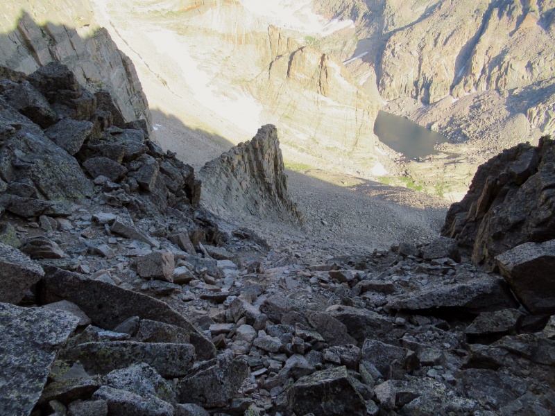
On this hike I found the rocks on the right side, the side just below the western Gate, to be more stable and easier to maneuver on than the last time I ascended when I went more through the middle.
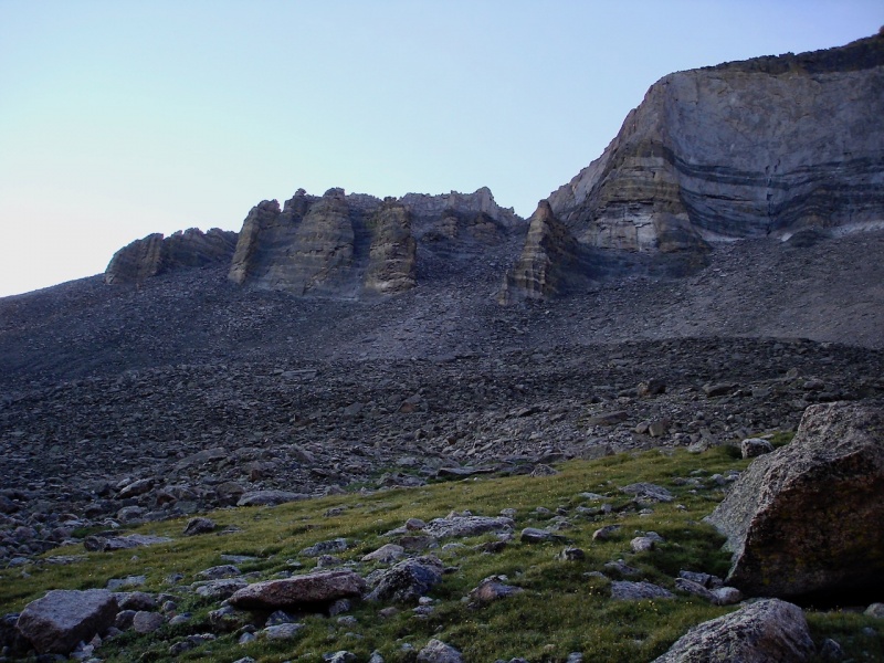
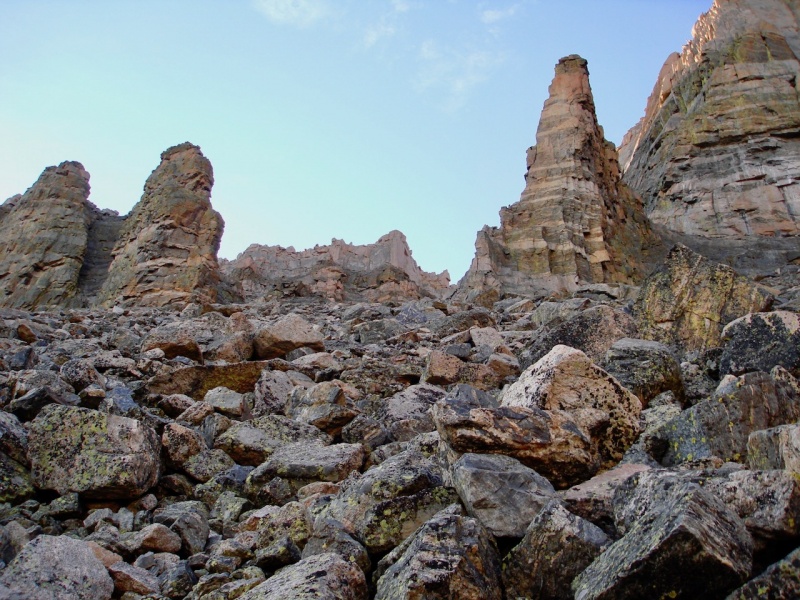
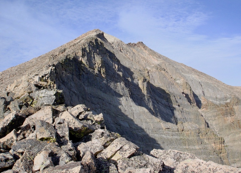
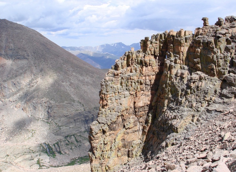
Nearing the Gates.MtnHub at the western Gate. (photo by mathguy)A closer look at the western Gate tower.
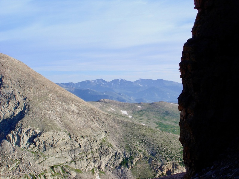
The views on this climb are simply phenomenal! I LOVE when the Mummy mountains come into view between the eastern Gate and Mt Lady Washington; the great view of the Loft and the diamond of Longs Peak from the other direction; the trail leading down to Chasm Lake and the Longs Peak trail behind it!
Fairchild, Hagues, and Mummy Mountains in the distance.The Loft peeking around the western Gate.Looking back down at the Chasm Lake trail from the ridge. (photo by mathguy)Looking down through the Gates. (photo by mathguy)
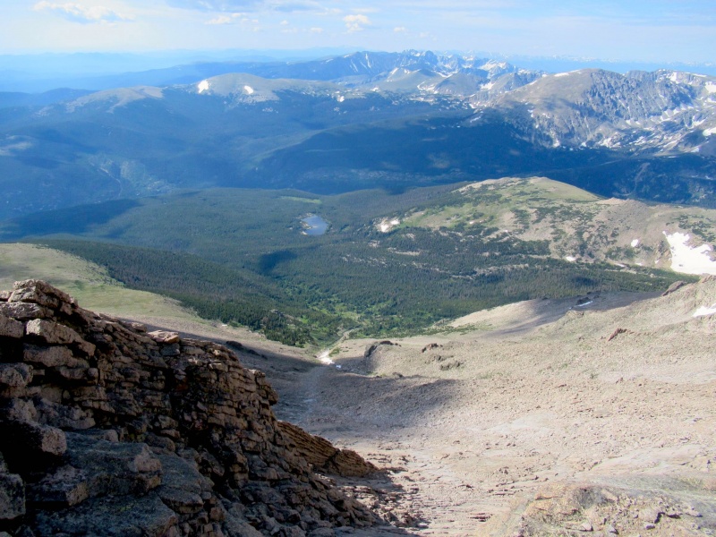
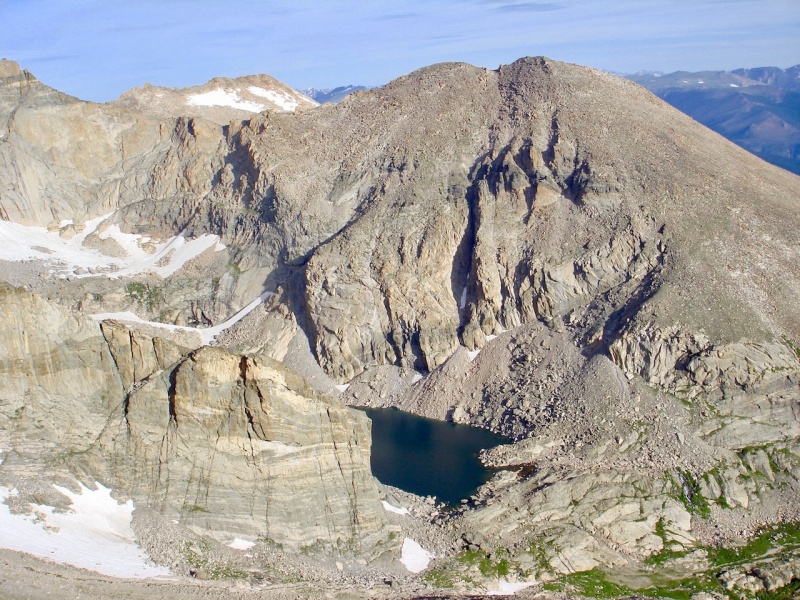
And then when you finally reach the ridge, all of Wild Basin opens up to you on the other side!
Sandbeach Lake in the Wild Basin from Meeker's ridge. (photo by mathguy)
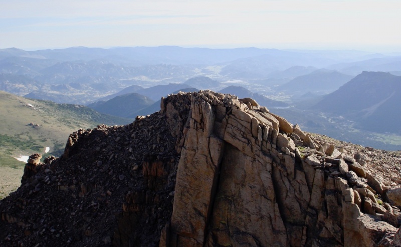
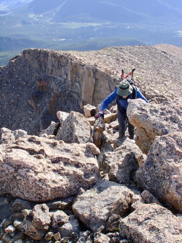
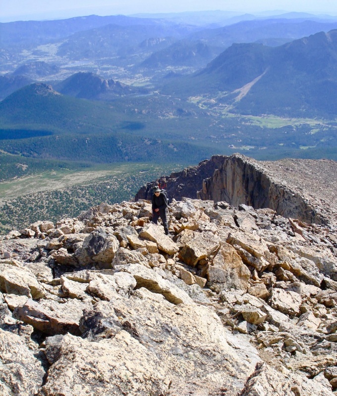
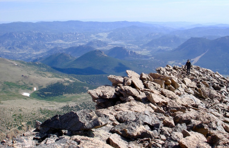
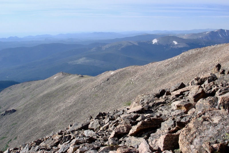
Again, we took our time on the ridge, stopping frequently to enjoy the views all around us. The higher we rose, the more Estes valley opened up behind it -- Estes Cone, the Twin Sisters, Lily Mountain, Estes Lake, Devil's Gulch, Lumpy Ridge! Wow!
Estes Park behind the steep, sharp ridge of Meeker's northeastern flank.The long ridge climb ahead of us.Mathguy on the ridge.The Estes Park valley opens up behind mathguy on Meeker's northeast ridge.Mathguy on the ridge; Estes Cone near center with Lumpy Ridge upper left.
Storm Peak eventually peeked over the saddle between Longs and Lady Washington across the way.
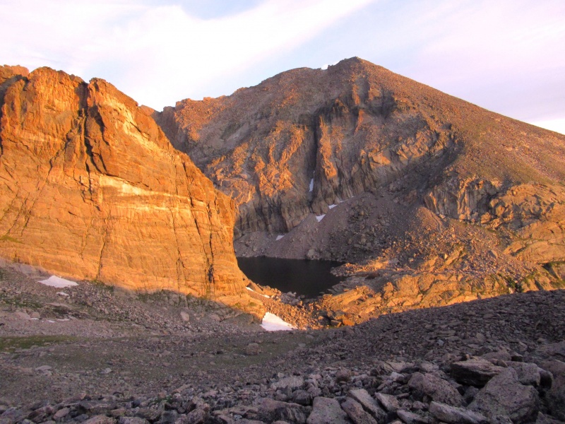
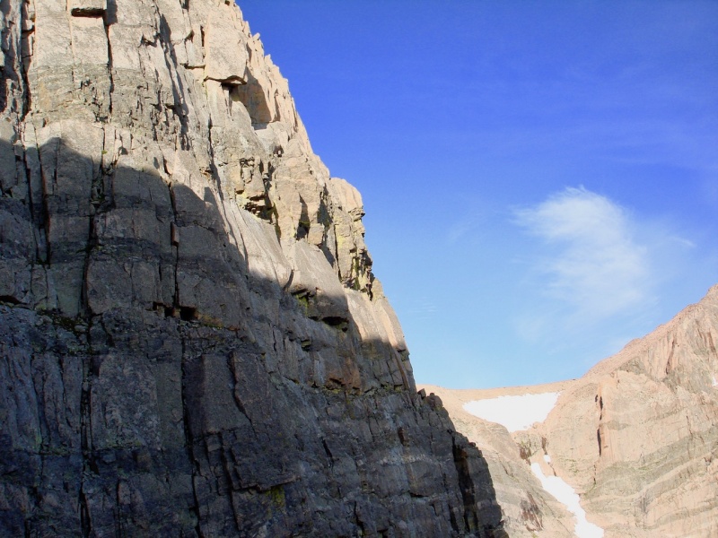
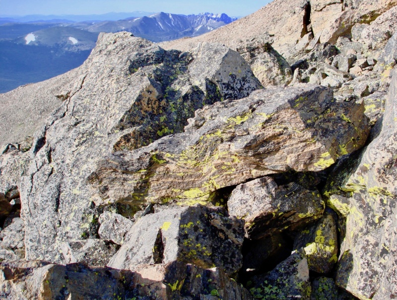
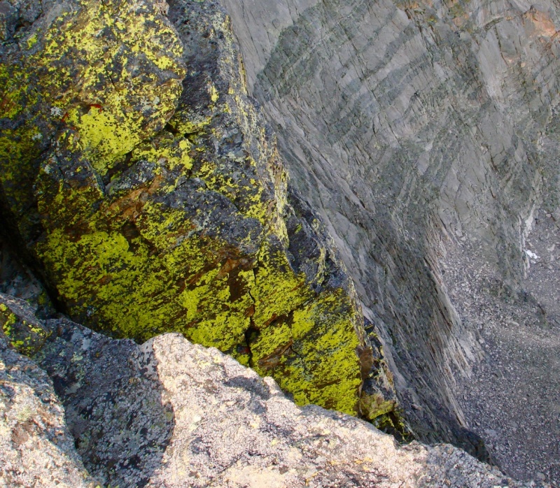
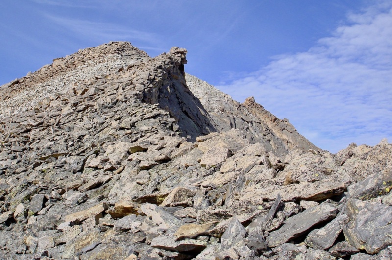
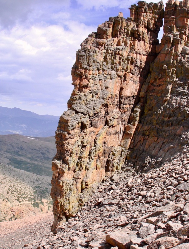
Longs Peak, with Storm Peak in the distance.Mount Lady Washington towering over Chasm Lake.Meeker Ridge to the southeast. Yellow lichen on the rocks.Striking yellow lichen clinging to the cliff edge.Nearing the false summit of Meeker.
When we arrived at the false summit, we could hear and see a couple of other climbers enjoying Mt. Meeker's summit.
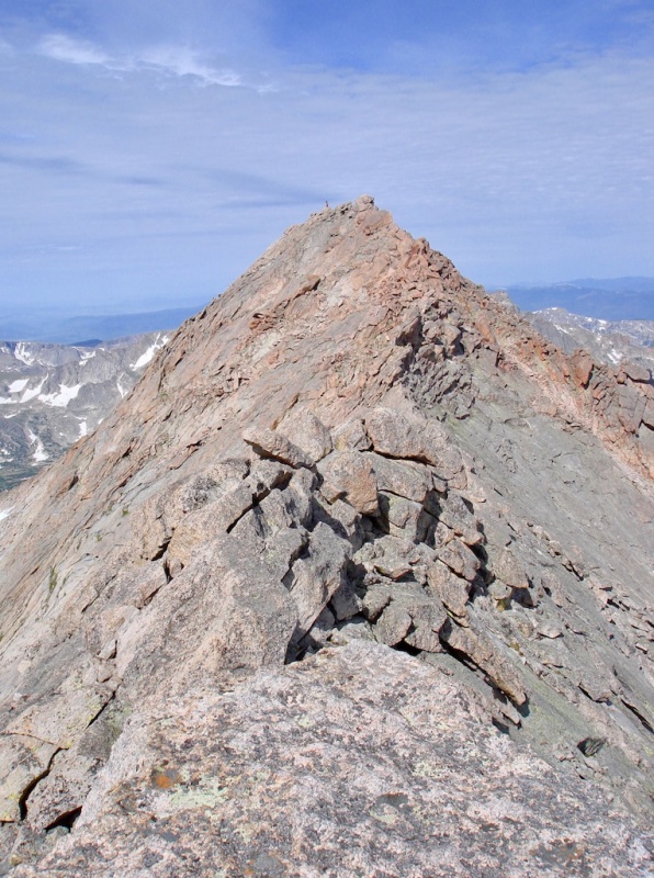
Another climber on Meeker's true summit.
But with all our stops along the way, it was getting a bit late to try and continue onto Longs. We were content with what we'd done so we decided to return the same way back down to Chasm Lake.
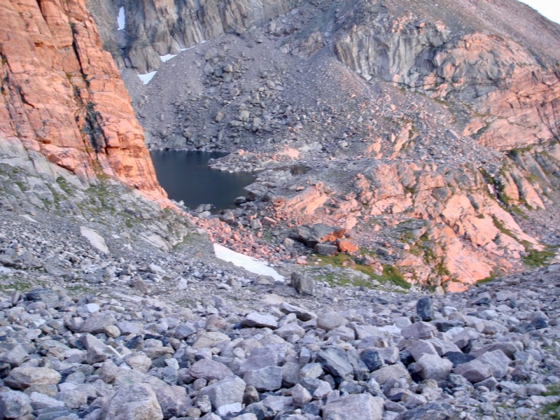
Coming down through the Gates, Chasm Lake once more comes into view.
Clouds were also forming more around us by this time and we wanted to get down below the trees the sooner the better. But it was still great day!
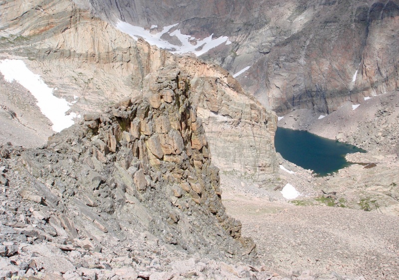
The eastern Gate.A closer look at the eastern Gate with all it's warm yellows and oranges.
Thumbnails for uploaded photos (click to open slideshow):
Yep that's one way to put it. Note the relative positions of MtnHub and mathguy in the pics! Mathguy clearly needed more of a warm-up than Estes Cone for tackling Meeker via the Gates (he also could use younger legs but...). But nice job on the TR. Thanks for guiding me up the Gates. It was a cool hike even if we didn't reach the "true" Meeker summit.
... your companionship, Kevin! It was great to see you again and get this in. And I'm glad you finally got Meeker. It was still some pretty significant elevation gain for a moderate climb. I really enjoyed taking our time and soaking in the views on that ridge! Love it!
Thanks, Jay! I missed you this trip but hope you had a good one with your wife.
Caution: The information contained in this report may not be accurate and should not be the only resource used in preparation for your climb. Failure to have the necessary experience, physical conditioning, supplies or equipment can result in injury or death. 14ers.com and the author(s) of this report provide no warranties, either express or implied, that the information provided is accurate or reliable. By using the information provided, you agree to indemnify and hold harmless 14ers.com and the report author(s) with respect to any claims and demands against them, including any attorney fees and expenses. Please read the 14ers.com Safety and Disclaimer pages for more information.
Please respect private property: 14ers.com supports the rights of private landowners to determine how and by whom their land will be used. In Colorado, it is your responsibility to determine if land is private and to obtain the appropriate permission before entering the property.
")
")
")
")
")
")
")
")
")
")
")
")
")
")
")
")
")
")
")
")
")
")
")
")
")
")
")
")
")
")


