Download Agreement, Release, and Acknowledgement of Risk:
You (the person requesting this file download) fully understand mountain climbing ("Activity") involves risks and dangers of serious bodily injury, including permanent disability, paralysis, and death ("Risks") and you fully accept and assume all such risks and all responsibility for losses, costs, and damages you incur as a result of your participation in this Activity.
You acknowledge that information in the file you have chosen to download may not be accurate and may contain errors. You agree to assume all risks when using this information and agree to release and discharge 14ers.com, 14ers Inc. and the author(s) of such information (collectively, the "Released Parties").
You hereby discharge the Released Parties from all damages, actions, claims and liabilities of any nature, specifically including, but not limited to, damages, actions, claims and liabilities arising from or related to the negligence of the Released Parties. You further agree to indemnify, hold harmless and defend 14ers.com, 14ers Inc. and each of the other Released Parties from and against any loss, damage, liability and expense, including costs and attorney fees, incurred by 14ers.com, 14ers Inc. or any of the other Released Parties as a result of you using information provided on the 14ers.com or 14ers Inc. websites.
You have read this agreement, fully understand its terms and intend it to be a complete and unconditional release of all liability to the greatest extent allowed by law and agree that if any portion of this agreement is held to be invalid the balance, notwithstanding, shall continue in full force and effect.
By clicking "OK" you agree to these terms. If you DO NOT agree, click "Cancel"...
Distance (including various side trips): ~16 miles
Hikers: MtnHub (Doug)
*****
For the most part this report is not written for the 14er community. It does not describe or document a climb up a particular peak. Although it may be used as a suggestion or guide for an excellent scenic warmup hike, it will mainly serve as my own personal diary of the last hike of my 2019 CO vacation. And it will also showcase my trip to my family and friends.
*****
Introduction:
From the start, my 2019 Colorado vacation was quite different from all the rest. In the past, I've always tended to hike hard and fast, getting little sleep to arrive early at the trailheads. (I can always get a good night's sleep when I get back home, right?) I've also tried to cram in as many summit climbs as I think I can possibly tolerate.
But now with every passing season, I seem to be dealing with more and more physical issues. Over the last ten years or so, an arthritic spine, creating a lumbar stenosis, has resulted in increased sciatic nerve irritation. This has gradually become more severe and has been the source of nearly continuous sharp stabs of pain in my back, glutes, and posterior upper thighs especially when I walk. I'm an avid walker, so this is very disheartening.
My knees hurt much of the time anymore as do my hips on occasion. (Are total joint replacements in my future at some point?) I've also had to come to grips with additional setbacks. Within the last nine months, I've had three surgical procedures performed. Although they were all fairly minor and non-life-threatening, they still required some post-op rehab interrupting my normal daily activity.
I'm taking more medications than I ever had before. I've had to adjust existing medications several times and I've added some new ones requiring followup appointments with my doctors. Some of these new meds list lethargy as a side effect. This past year It seemed like I was visiting one doctor or another every other week for some new ailment.
I developed a bout of plantar fasciitis a couple of weeks before we left Iowa. Fortunately that mostly resolved itself with stringent exercises and stretches by the time we arrived in Colorado, but it interfered with my extra walking and stair training which I normally try to increase on a weekly basis in preparation for my trip. It's become a difficult task to balance along the thin line of training hard enough to adequately prepare myself while not injuring anything else in the process.
Although I continued to work out regularly at the gym and felt that my legs were still strong, they didn't quite feel like their 'usual' selves. I frequently felt like I was walking through a vat of cement. I could force myself to do it, but it was a major effort and was very exhausting. So I just didn't feel nearly as ready for this trip as I have in the past.
While I did climb Meeker with a friend and had a good day of it, I was unable to get my annual summit of Longs Peak in this year, even with two separate attempts. On my first attempt, I ascended as far as tree line, but I just didn't feel up to going any farther. I couldn't picture myself pushing my body to continue up the trail for several more hours. It seemed so much more appealing to return back to our room and climb into bed with my wife. (Getting only 1-2 hours sleep the night before may have had something to do with this however.)
I made a second attempt the following day, but I drove through drizzle the entire way. When I got out of the car, I couldn't see any breaks in the cloud cover so I once again returned back to the resort. I don't mind hiking out the last few miles back to the trailhead in rain after a long day of climbing, but I don't like to begin a hike damp and risking hypothermia when I reach the windy alpine zone. My fingers and toes are very susceptible to frostbite anymore so I have to be proactive in preventing that from occurring.
I turned 69 this past spring and I've always been aware that this day would come. I still have hopes of getting in a few more summits of Longs Peak and maybe another 14er along the way, but I've also come to realize and accept that I may need to adjust my goals and go with the flow with alternative plans when issues arise.
So the day before we left for home I wanted to get in one good, final hike. For my first hike as a warmup, I went up to Timberline Falls. Driving up to Bear Lake was no problem as I arrived early before the crowds. But driving out was another matter. Road crews were resurfacing the asphalt and only one lane was open for several miles. Waiting up to 30 minutes in a hot car after a long morning's hike until they allowed my lane of traffic to flow again was not especially fun. And the traffic back to Estes Park in the middle of the afternoon was bumper-to-bumper slow.
The same thing happened on the Peak to Peak Highway just south of town. There was major road construction going on Highway 7 and they also allowed only one lane of traffic alternating in both directions. This was not a good year to climb Longs Peak as major delays were the norm. I was not looking forward to car-sitting for a long stretch just to get a good hike in.
This made me think of the Lumpy Ridge Loop. The trailhead is only six short minutes from our resort room, and it's been several years since I hiked up to Bridal Veil Falls. I read a few descriptions on it and it appealed to me more and more. If I took the entire loop around the ridge it would be a fairly substantial hike. If I added the two branch trails as well it would be even more enjoyable. And so it ended up to be my final vacation wind down.
The Hike:
I planned to start my hike at first light. I mainly wanted to get to the highly popular Lumpy Ridge Trailhead early enough to assure a good parking spot. But I also wanted to avoid the crowds heading up to Gem Lake, likely one of the most heavily populated trails in RMNP. There were only a couple of cars in the lot when I arrived at 5am. Another couple was just getting out of their vehicle when I pulled into a parking space directly in front of the restrooms and informational charts and maps.
In her excellent book, Rocky Mountain National Park - The Complete Hiking Guide, Lisa Foster describes the Lumpy Ridge Loop in a clockwise manner, returning back to the Trailhead via Gem Lake. But I think I would only take this loop in the reverse, or counter-clockwise direction. I would much rather hit this part of the trail right away, offering as much seclusion as possible.
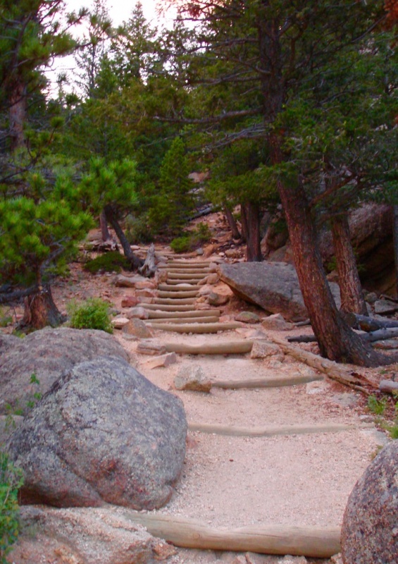
I quickly overtook the other couple going up the log-stepped stairs and from then on I didn't see a soul until I was well back into the Cow Creek basin when I met a few hikers coming from the other direction.
The beginning of the Lumpy Ridge Loop Trail
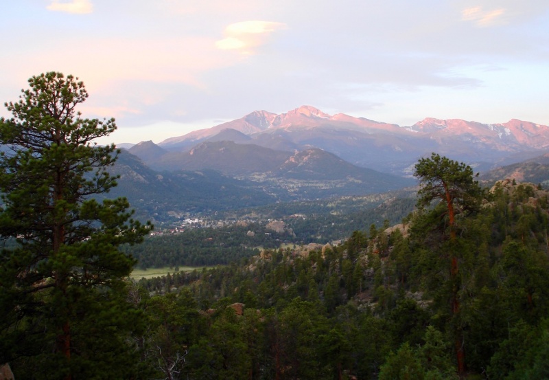
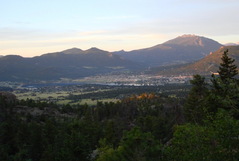
As you climb higher, there are a few places where the view opens up to the southeast, to the Estes Park valley. Alpenglow was just beginning to brush the tops of the peaks with its soft, rose-gold light. It was gorgeous!
Alpenglow on the Meeker/Longs skyline.The Twin Sisters can also be seen across the Estes Park valley.
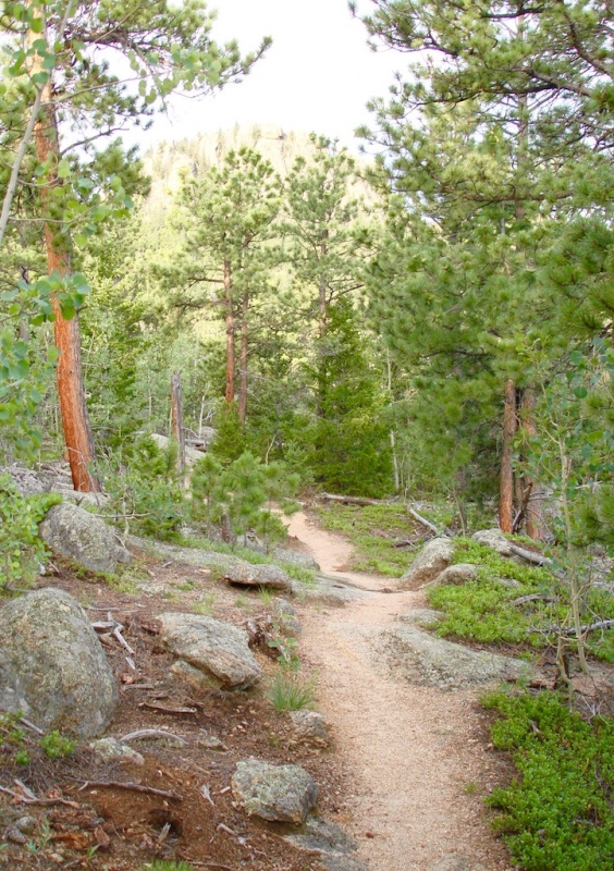
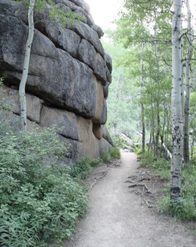
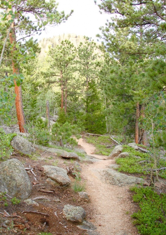
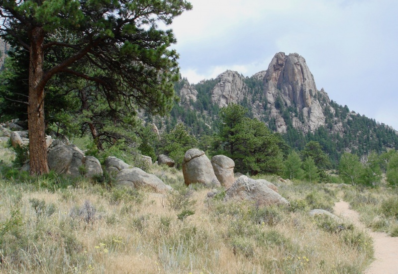
Weaving in short switchbacks through sculptured granite boulders and tall, slender trees, the trail continued to climb higher.
Along the trail.
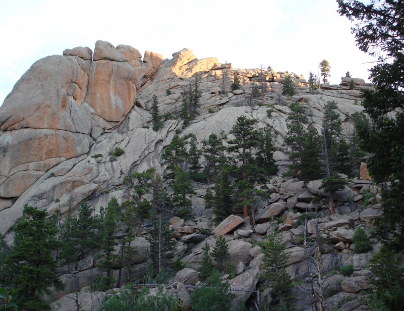
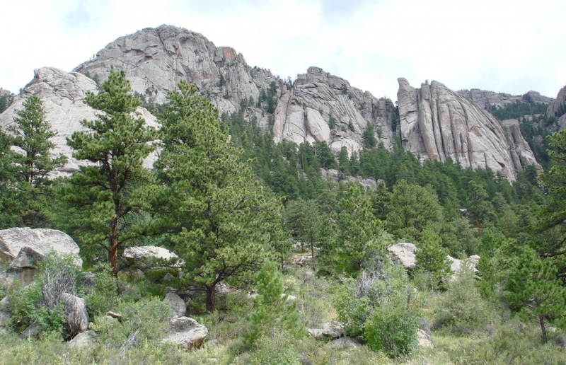
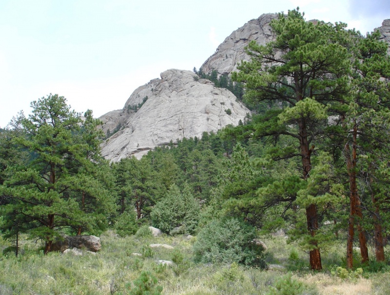
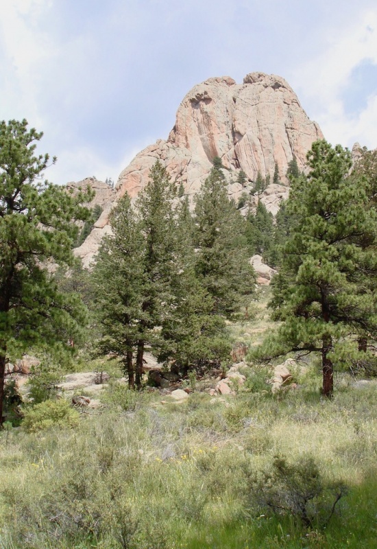
As much as I enjoy gazing at the myriad of rocky cliffs and exposed outcrops along the majestic Lumpy Ridge from town, it is so much more fascinating to see it all up close. I LOVE Lumpy Ridge with all its rocks and ledges peppered with evergreen trees!
I love Lumpy Ridge!
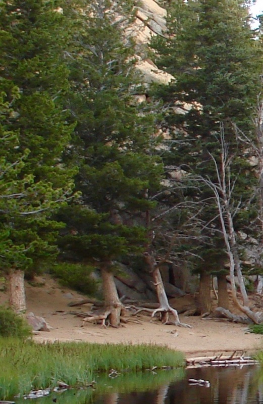
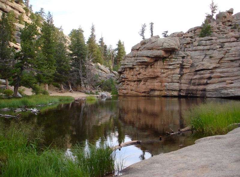
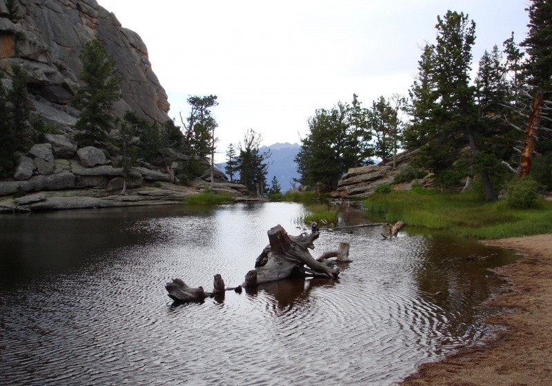
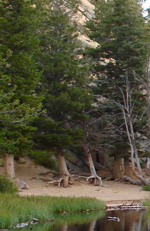
After about 45 minutes of hiking and just under 1,000' gain, I arrived at lovely Gem Lake, a small, shallow little gem of a lake about 1.75 miles from the trailhead. It was very quiet and peaceful in this secluded rocky alcove. Here I sensed a kind of magical aura. On the sandy shore across the surface of the still water I spied two trees with exposed "walking" roots, and I had to wonder if perhaps they might be descendants of Tolkien's Middle-earth Ents.
Gem Lake.Ents?
When I reached the far side of the pond, I turned around and looked back. From that perspective I once again saw the Twin Sisters peering in at me through the opening between the granite walls.
Looking back across Gem Lake with the Twin Sisters in the distance..
The trail continues to gain elevation but eventually reaches a high, wooded plateau with an easy sandy-dirt bed to walk on.
Soft, sandy-dirt trail.
It then swings around to the west. Occasionally, there are breaks in the forest cover which present you with a gorgeous view of the Mummy range.
The Mummy Range across the Cow Creek valley.
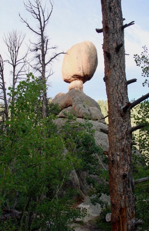
There are a few short side trips branching off of the main Loop Trail. They lead you to a few special geological features. The first junction I reached is the trail to Balanced Rock. It only adds an extra mile each way, so I decided to take it. It starts off level, but then descends and reascends a few times until you arrive at the Rock. It is a fascinating highlight of Lumpy Ridge's unique offerings. The Balanced Rock resembles a huge stone mushroom. The early sunshine was just beginning to highlight this feature when I arrived.
Balanced Rock.
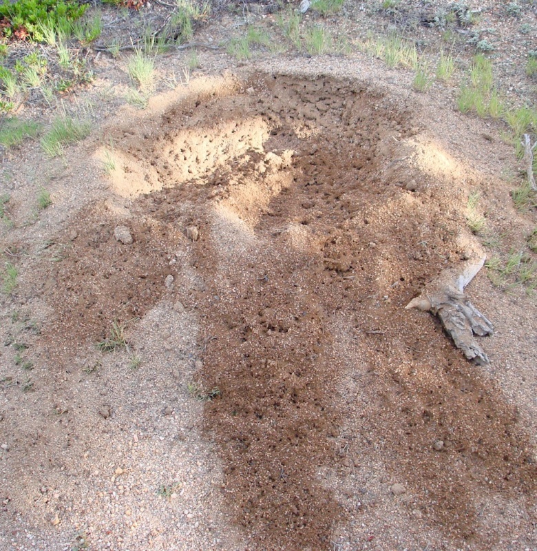
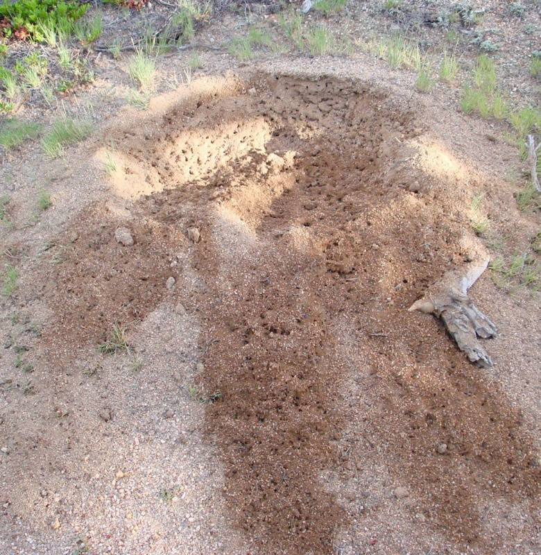
On my return to the Loop Trail I came across a massive ant colony just adjacent to the trail that I didn't notice before. It was enormous -- about 8 feet across at its widest section. It was also more like an ant crater versus a simple ant hill. The soil was riddled with holes and hundreds of insects were rushing in and out of the tunnels. I've never seen such a thing. It looked like a boulder was pulled off the site, or a tree uprooted, which left the concave surface in the ground. But there was no rock or fallen tree in sight so I'm assuming the ants created this feature by themselves.
An ant crater.
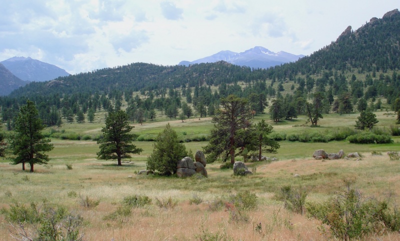
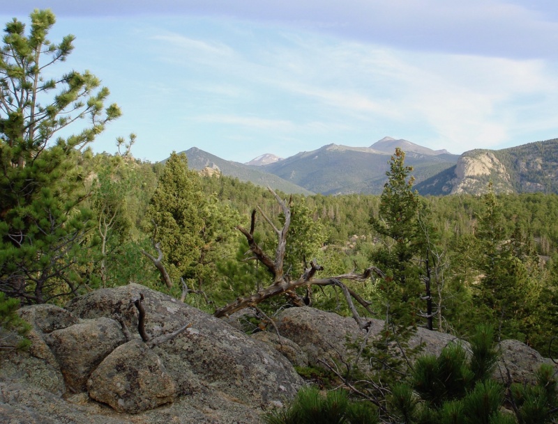
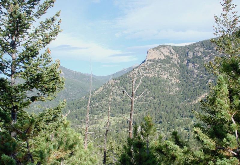
Back at the trail junction, I turned to the left, to the west, and the trail paralleled the Cow Creek drainage on the backside of Lumpy Ridge. And once again, there were breaks in the trees which occasionally offered you beautiful vistas of the surrounding landscape.
Again, looking across the Cow Creek drainage.
I had now entered a thickly wooded section of the trail. Here within the conifer forest, the silence was broken by a few sharp "caws" overhead. When I looked up, I saw the sleek, ash-gray bodies of two Clark's nutcrackers, common passerines of RMNP. They tilted their heads staring down at me and scolded me for entering their territory. As they swooped above me from treetop to treetop, they flashed open their dark, black wings tipped with white.
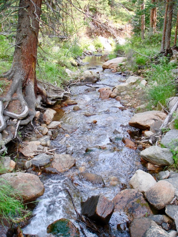
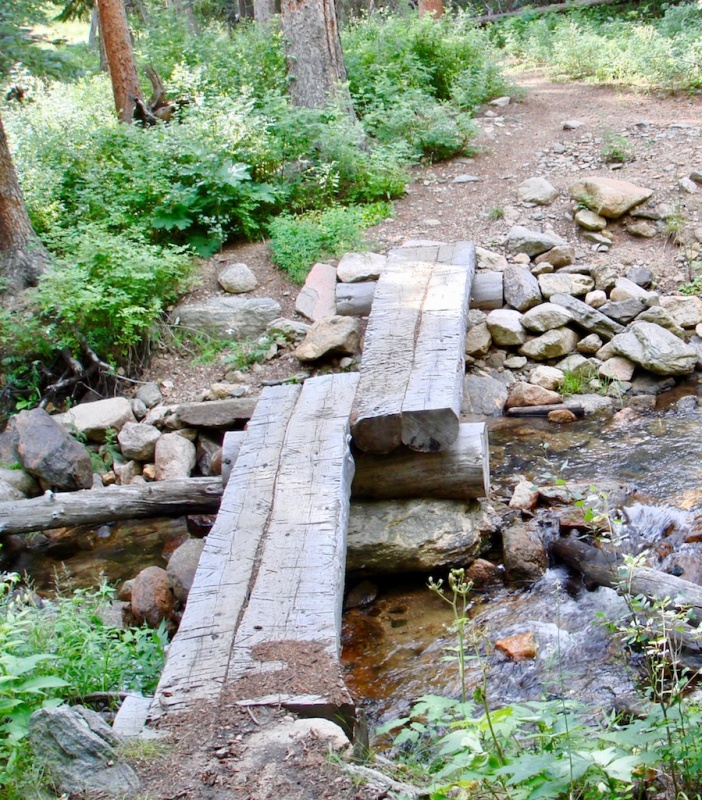
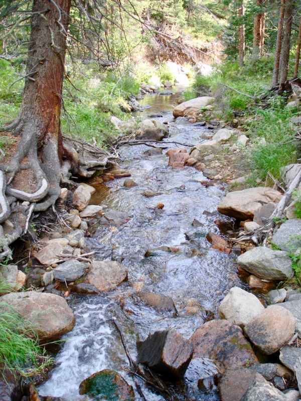
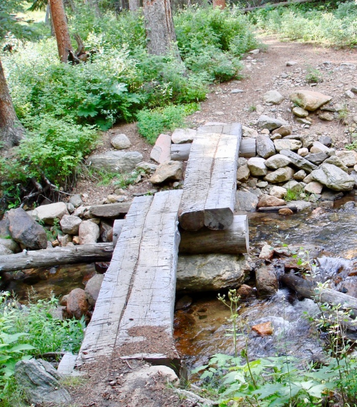
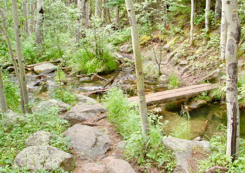
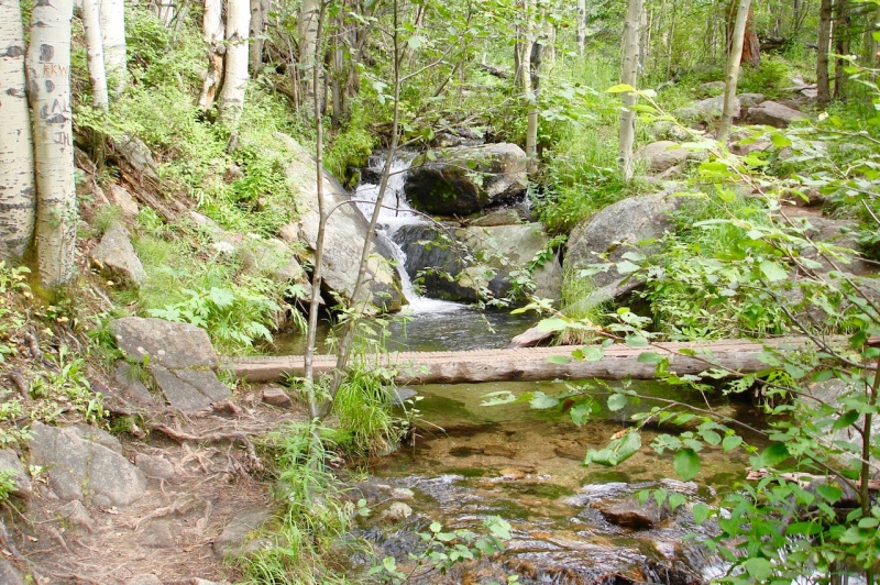
And although I could not see a creek, I could hear the sound of gurgling water tumbling over a rocky bed. This lovely white noise followed me for quite awhile. Eventually the trail dropped down and I finally crossed the previously unseen Cow Creek on a log bridge.
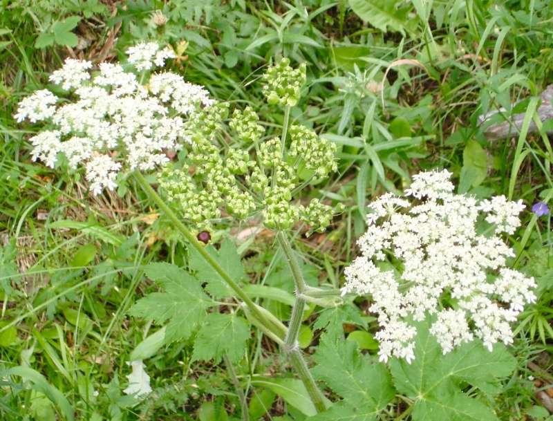
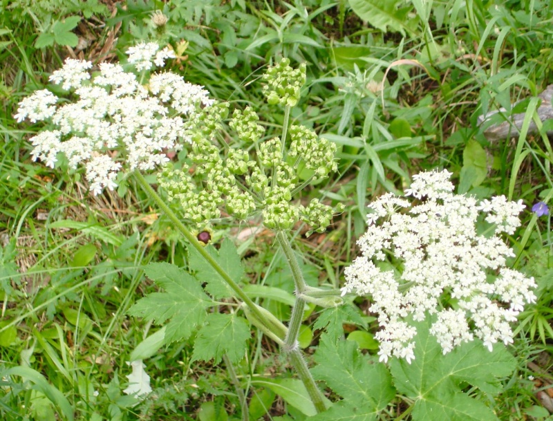
The babbling Cow Creek.Cow Creek crossing.Cow Parsnip, some blooms open and some not, discovered appropriately along Cow Creek.
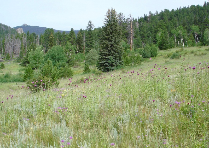
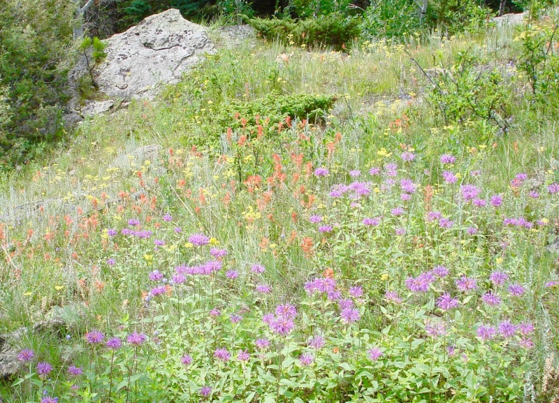
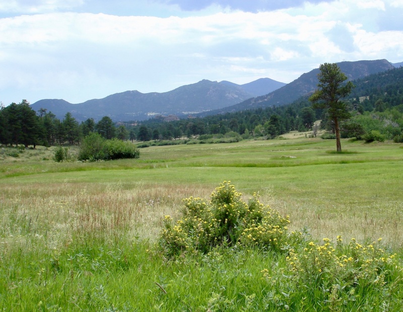
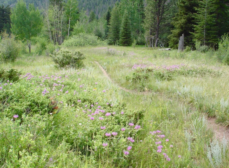
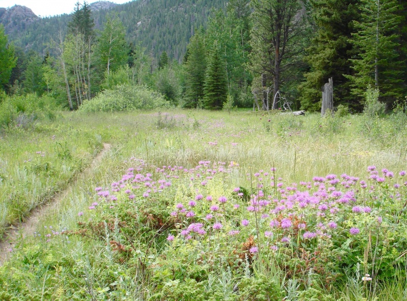
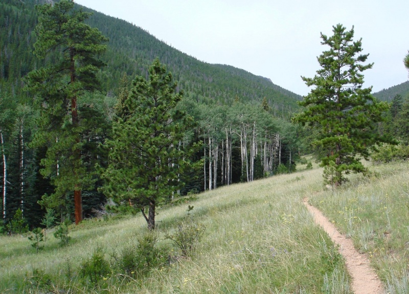
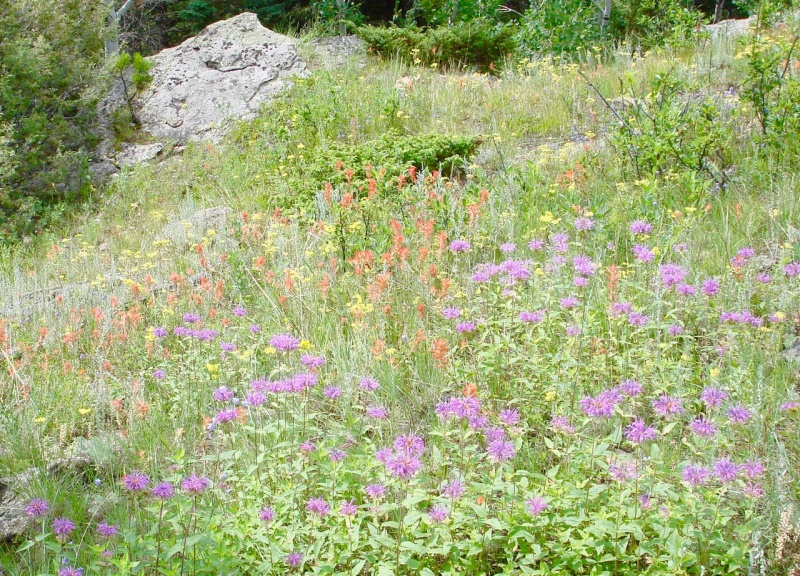
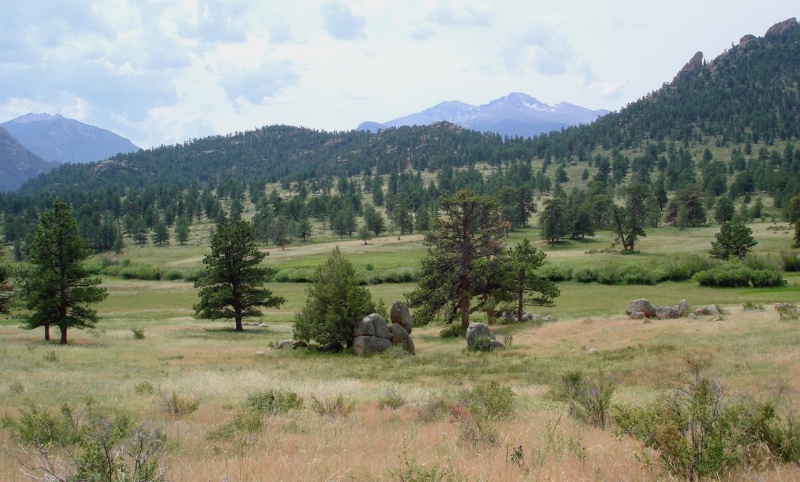
From the creek, the trail rose out of the woods to a relatively level pathway for a few miles, and wove through a series of narrow montane meadows filled with grasses, shrubs, and wildflowers. Although they were not strikingly stunning, they brought a natural, subtle beauty of their own with their soft waves of pastel colors.
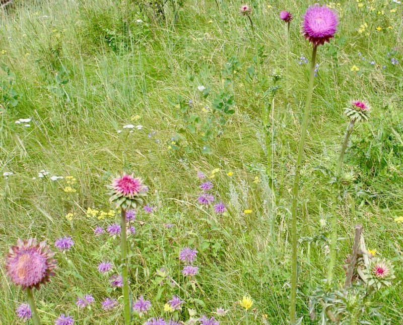
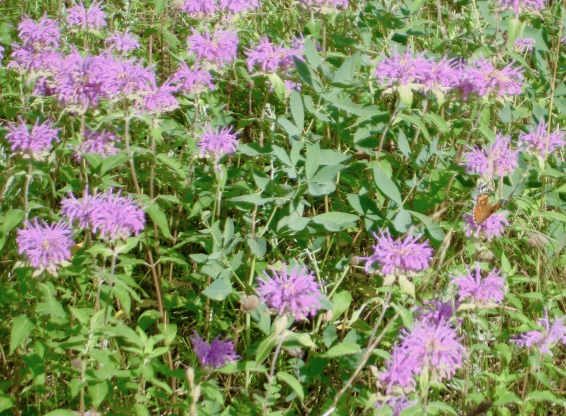
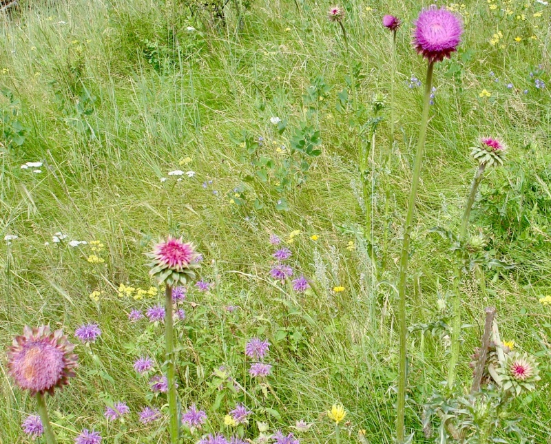
An open meadow near the Bridal Veil Falls turnoff, shaded with soft pastel colors.Bee Balm brightens up the meadow.Lavender Bee Balm up close.
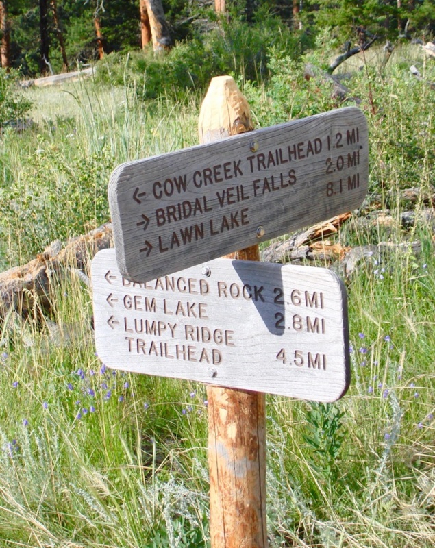
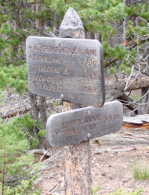
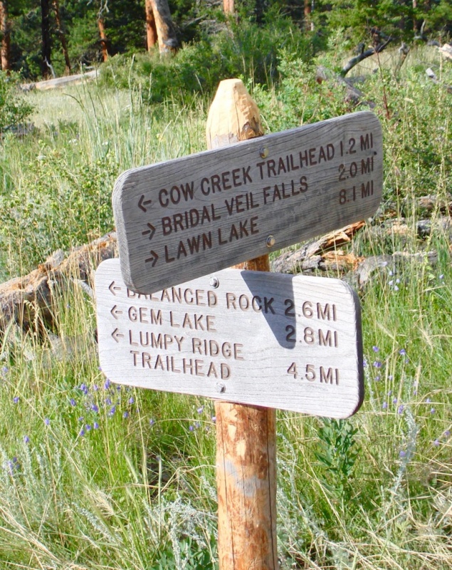
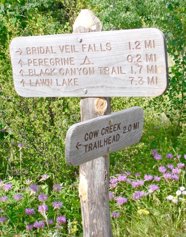
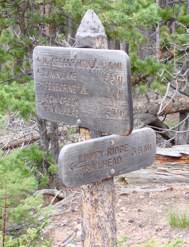
A signage post at a trail junction identified where I'd come from and where I intended yet to go.
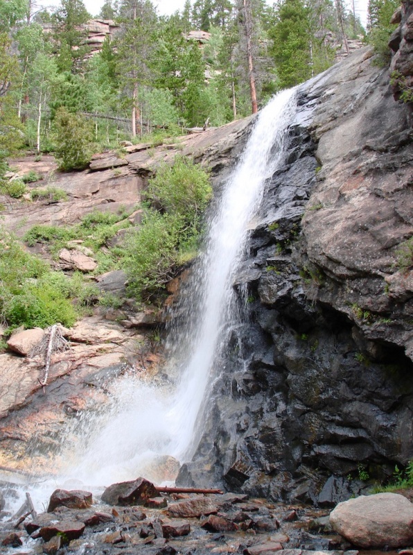
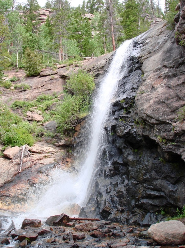
The trail to Bridal Veil Falls is another optional off-branch from the main Loop Trail. And like the trail to Balanced Rock, it is roughly only one additional mile each way. It follows the Cow Creek upstream to the Falls crossing the creek on another log bridge.
With all the heavy snows Colorado had experienced this winter and spring, I expected the Falls to be running hard and fast, and I wasn't disappointed. I took a longer break here and dug out some refreshments from my pack while I enjoyed the sights and sounds of the water rushing over the cliff.
Bridal Veil Falls.The Cow Creek crossing below the Falls.
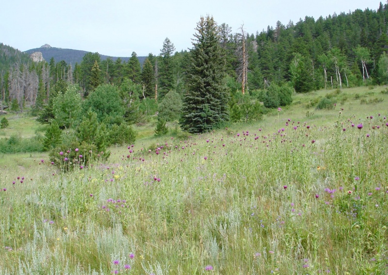
When I returned to the meadow, I passed through a thicket of purple thistle. Some of these plants were 8-10 feet in height and in various stages of development.
A thicket of thistle. (try to say that 5x real fast!)Various stages of purple thistle development.
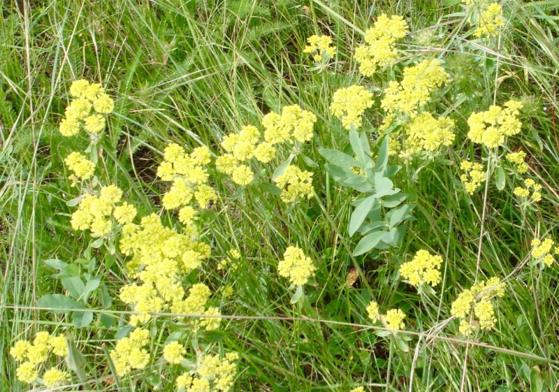
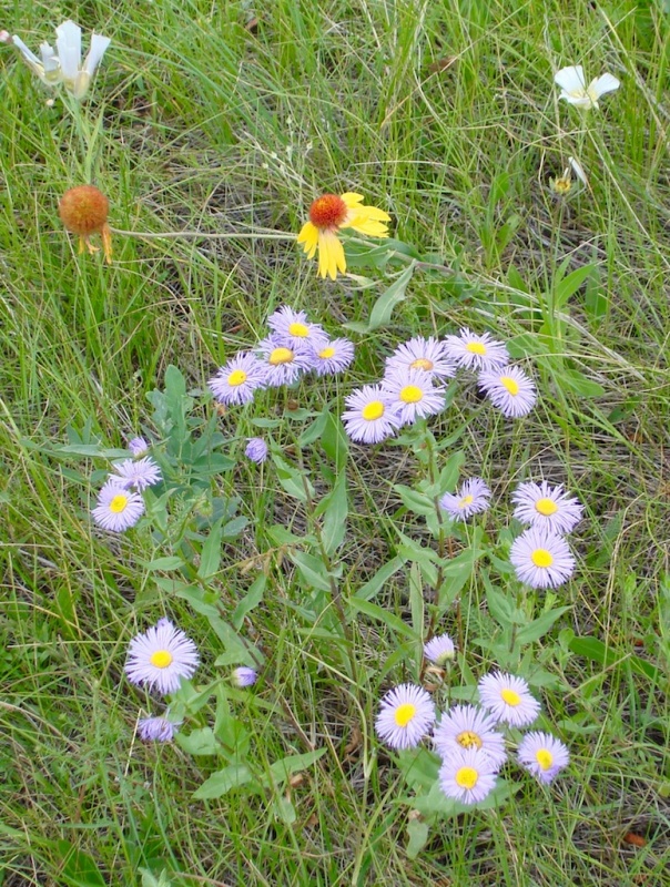
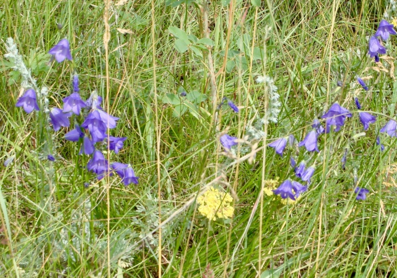
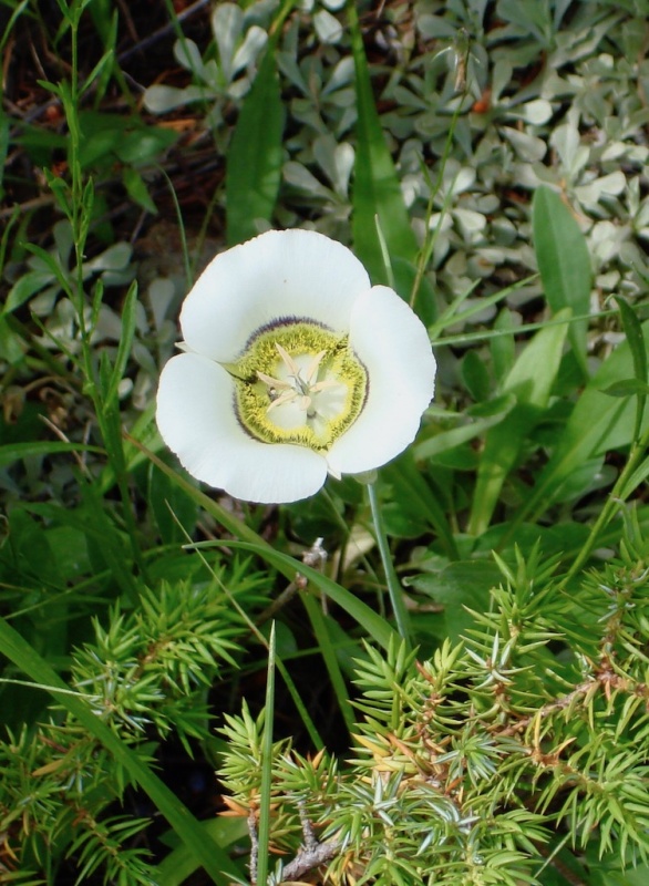
The Loop Trail continued on, passing through more wildflower displays. I stopped often to linger, marveling at our Lord's wide palette of colors. I could identify many, but others were new to me and I had to consult my little pocket guide to discover their names.
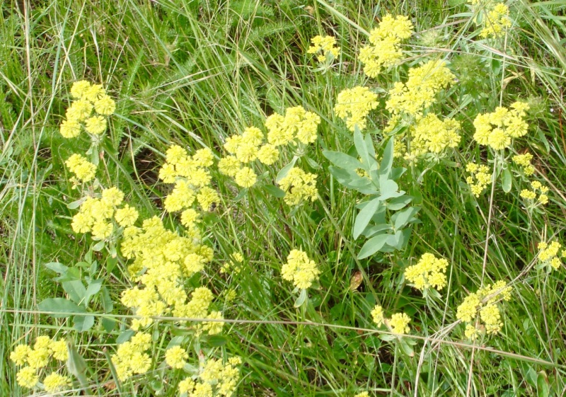
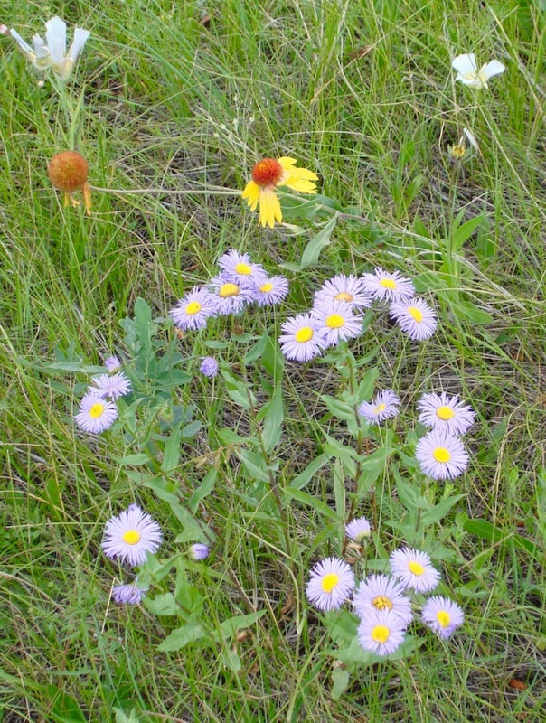
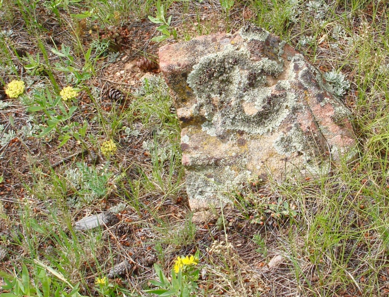
Mariposa Lily. Sulphur Flower.Mountain Harebell.Wax currant?Blanketflower with purple aster.A rock with an interesting formation of lichen.
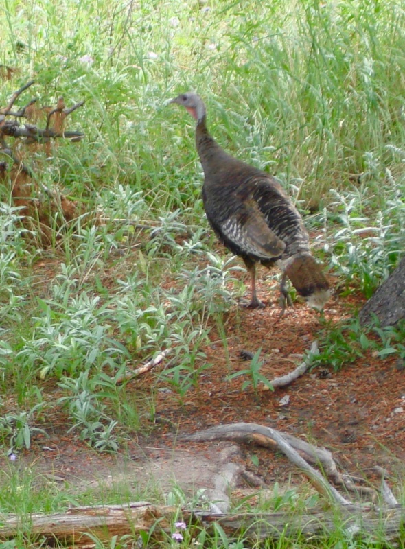
Just off the trail I came across a family of wild turkey. The two adults didn't seem to mind me very much and just sauntered farther into the brush scratching the earth, but the two chicks were quite timid and shy and tried to hide from me in the tall grass or behind one of their parents.
Wild turkey.
Eventually the trail aimed for the trees of Black Canyon.
Heading towards Black Canyon.
More colors and textures of the indigenous flora continued to greet me along the way.
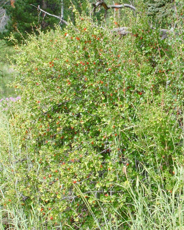
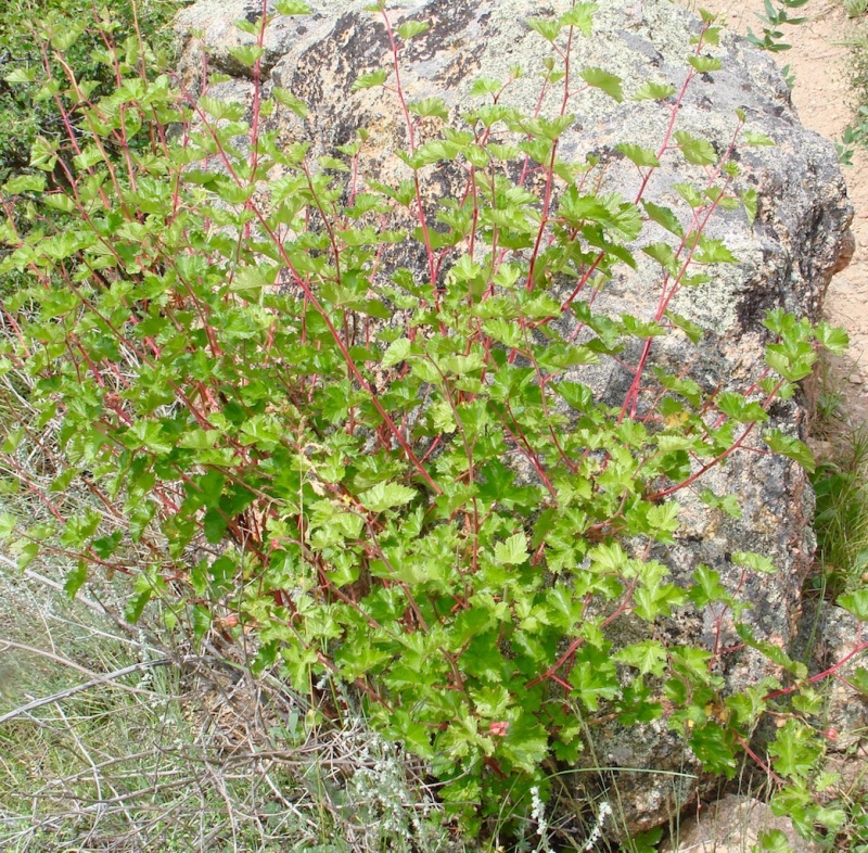
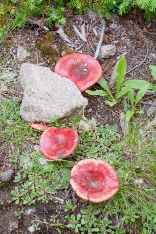
Beautiful little bush with green leaves and bright, iridescent red stems. ID'd by Christian Nunes as Mountain Ninebark (Physocarpus monogynus). A lovely mix of Bee Balm, orange Indian Paintbrush, and Sulphur Flower.Russula mushrooms.
Once again the trail rose sharply in several short switchbacks within the dense forest of Black Canyon. And once again I was met with a junction post.
At this point the trail branched to the south, swinging around the western end of Lumpy Ridge. I remained in dense trees until the trail finally began to descend again and views of the valley started to open up occasionally.
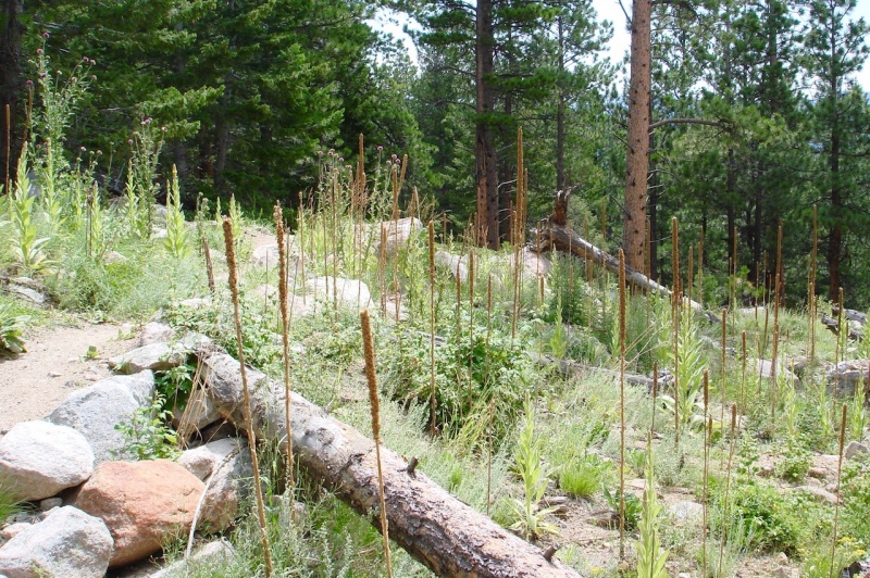
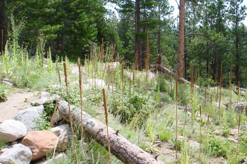
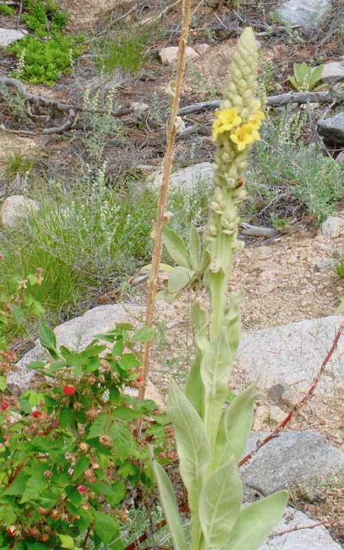
There was one place where I came across a small field of dried, spent Mullein. The tall, brown flower stalks somehow reminded me of the saguaros in Arizona.
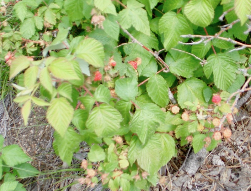
Last season's Mullein.This year's Mullein.Wild raspberry.
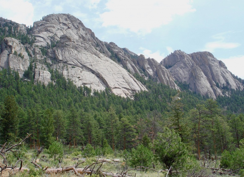
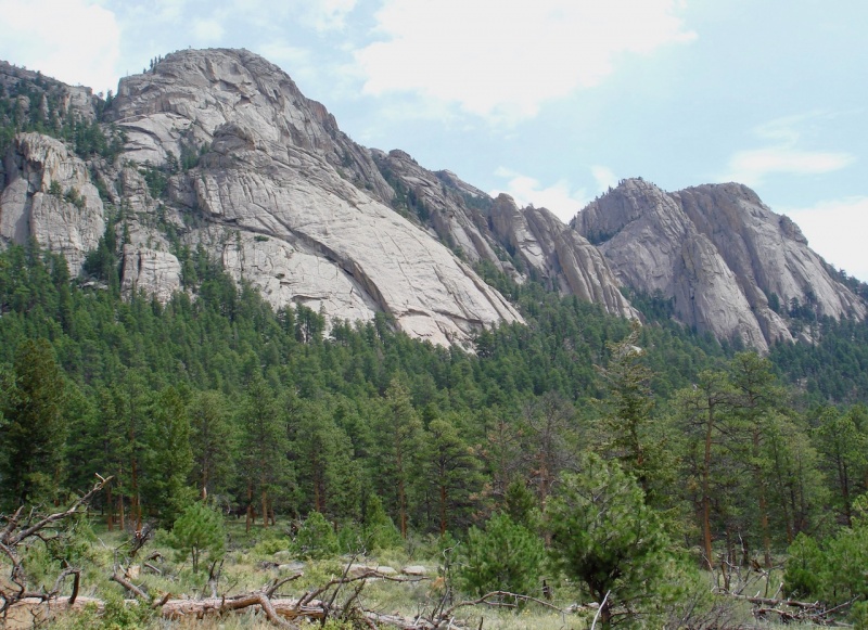
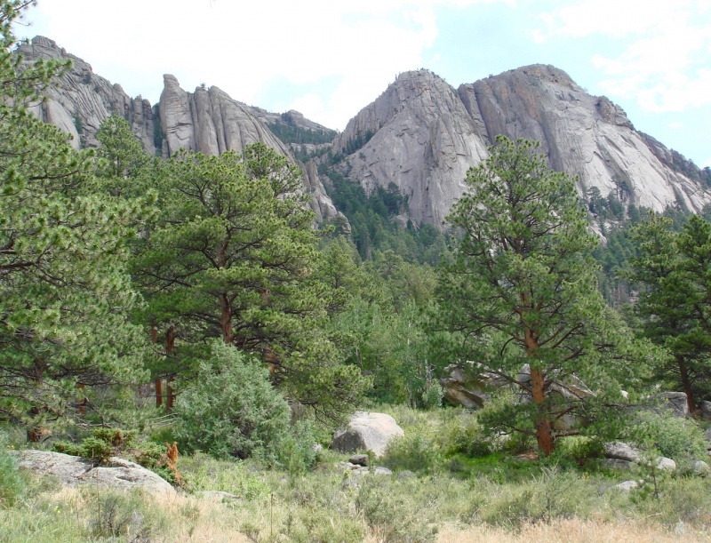
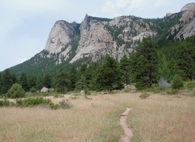
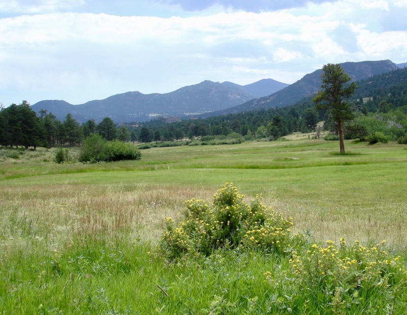
After descending for at least a couple of miles, I finally returned to the valley floor. The beautiful rocky ridge with its multitude of shapes and formations appeared on my left, while the MacGregor ranch spread wide to the south. What gorgeous country!
The Pear.Potentilla in the MacGregor Ranch valley.The Twin Sisters (L) and Meeker and Longs (R) across the MacGregor Ranch valley.The Twin Owls formation.The Twin Owls from the front.
I returned back at my car comfortably tired and spiritually refreshed. It was a very pleasant hike indeed, and a great way to end my vacation.
*****
Thanks to my friend, sunny1, for her help in identifying a few of the flowers that were foreign to me.
Thumbnails for uploaded photos (click to open slideshow):
You did a great job on describing a surprisingly beautiful hike ("surprising"
I suppose because no summits are involved). It's also not exactly a walk in
the park because of its length (including your Balanced Rock and BV Falls
side trips) and the portion between the BV Falls side trail and the Black
Canyon/Lumpy Ridge junction has a fair amount of elevation gain
(about 500' I think) which may seem like more after 10 miles or so of hiking.
I fully agree that "counterclockwise" is the way to go. As you say, if you start
early you beat most of the Gem Lake crowd and at the end the trail along the
base of Lumpy Ridge you're treated to beautiful views of the Lumpy Ridge
rock formations (Twin Owls, etc.) and (to the south) Longs, Meeker, and Twin
Sisters. Good job on the photos too.
Thanks, Kevin! I really enjoyed this loop and think I will make it my annual warmup hike every year. It's so nice that it is so close to the resort we always stay at too and so I don't have to deal with all the Park and city traffic and congestion. The view of the Longs/Meeker skyline from that direction is also my favorite. LOVE it!
nicely done, it's inspiring that you've been able to do so many hard hikes and climbs and keep up your fitness level in your 60s, especially since you're a flatlander and don't get to hike year round in CO for conditioning. My parents can barely walk and may not be able to soon. Great job getting the loop, it's all on trail but still a good day's workout with lots of mileage and gain - I've done it for spring training a few times since it's fairly close, melts out early, and has a lot of up and down intervals and variety. Also great as a fall loop. I think I had it at 18 miles and 5k+ gain with the out-and-backs to the falls and balanced rock spur trails (tacked on MacGregor Falls also). I've usually hiked it clockwise for no particular reason.
As far as peaks, there are a few smaller ones near the loop - unofficially named but ranked 9er Gem Peak is the closest to the trail, above Gem Lake, and a fun short scramble with great views. There's also a climbers trail up to the Needle which is pretty steep but the highest point on Lumpy Ridge.
John - Yes, I'm sold on it for a warmup hike. Easy on the feet as it is all pretty much nice soft trail and some nice moderate elevation gain to stretch the legs a bit. On the topo, I saw that MacGregor and Dark Mts are just off the trail and thought about trying them next year. Gem Peak isn't listed or ID'd on my topo map but I see where it would be. I'll maybe contact you next year and get more exact route information from you. The climbers trail up to the Needles would be fun too; didn't notice that ID'd with a marker post either, but I did go up the short distance to the Pear as well when I went around the loop.
Jay - Yeah, growing old(er) is a bummer. You've always been an inspiration to me. Hope we can connect on something next year again!
So nice to see an area that I have not frequented (and is close to town). And, I always like knowing what the flaura is (that Mariposa Lily is so unique looking). Sorry to hear about the aches and pains ... Lord knows The Man and I have had our share from time to time. Good on you getting out and making the most of a nice day in Colorado. Thanks for posting. Happy trails!
Wow! Thanks for your comment! It's been so long since I've heard from you and I really miss your expertise and advice on the site.
Yes, this loop is very easy to access and provides a wonderful range of beauty and variety. I've seen those Mariposa lilies before but not very often. This one was in a small field of them and they are truly lovely!
45 minutes to Gem Lake is not too shabby at all! Photo #46 shows the route up the Needle nicely. It's that big green gully. It's a steep one, but it's fun. Glad to see you ended your vacation on a positive note.
Thanks, Dave. I actually felt pretty good on that hike.
Regarding the Needles route, you mean up that thickly wooded ravine between the dome formation on the left end and the 'needle' point just to the right? Is there a signage post off the trail? I don't recall seeing one but maybe I missed it.
MountainProject will probably be helpful in finding the Needle. It's been a while, but I think this is the way to do it. Maybe
Cougar or someone can confirm. The massive dome on climber's left is Sundance Buttress.
https://www.mountainproject.com/area/105744802/sundance-buttress
Turn from the trail at the Sundance sign to get to the Needle.
https://www.mountainproject.com/photo/114810246
And just keep the big buttress on your left as you ascend the gully.
Here's a close-up of the area, similar to your photo 46.
https://www.mountainproject.com/photo/105967321
Caution: The information contained in this report may not be accurate and should not be the only resource used in preparation for your climb. Failure to have the necessary experience, physical conditioning, supplies or equipment can result in injury or death. 14ers.com and the author(s) of this report provide no warranties, either express or implied, that the information provided is accurate or reliable. By using the information provided, you agree to indemnify and hold harmless 14ers.com and the report author(s) with respect to any claims and demands against them, including any attorney fees and expenses. Please read the 14ers.com Safety and Disclaimer pages for more information.
Please respect private property: 14ers.com supports the rights of private landowners to determine how and by whom their land will be used. In Colorado, it is your responsibility to determine if land is private and to obtain the appropriate permission before entering the property.