| Report Type | Full |
| Peak(s) |
Huron Peak - 14,006 feet Browns Peak - 13,526 feet Unnamed 13471 - 13,471 feet Middle Mountain - 13,062 feet |
| Date Posted | 08/01/2019 |
| Date Climbed | 07/27/2019 |
| Author | supranihilest |
| Winfield North 13ers: One Way Ticket to Lulu Gulch | ||||||||||||||||||||||||||||||
|---|---|---|---|---|---|---|---|---|---|---|---|---|---|---|---|---|---|---|---|---|---|---|---|---|---|---|---|---|---|---|
|
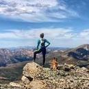
Huron Peak's reputation as an "easy" 14er is well deserved. The standard northwest slopes has a solid trail the entire way, little exposure, only minor scrambling, no commitment, etc. Honestly the worst part about the route is the absolute hordes of people on it. To escape the hordes climb from Lulu Gulch instead. This also gives you the opportunity to net three 13ers, which are always fun. You can make it a one way trip like I did by climbing Huron's standard route and descending the north ridge into Lulu Gulch, but you'll either need a ride back to the 4WD trailhead, a pickup at the 2WD trailhead, or two cars (which works in either direction, up or down Lulu). I did just that, going up Huron's standard route from the 4WD trailhead (my friends went to Lake Ann instead), descending the north ridge over the three 13ers into Lulu Gulch, and then walking back to my car at the 2WD trailhead. I did need a ride back to the 4WD trailhead later for a second day climbing in the area, but could have hiked the road back if I felt so inclined; this would have been less than the full 2 miles since the descent road off Middle Mountain dumps you part way up the Huron 4WD road. 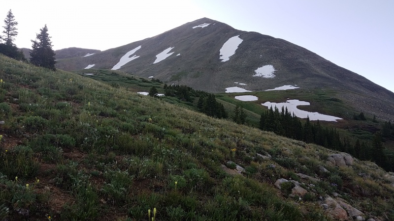
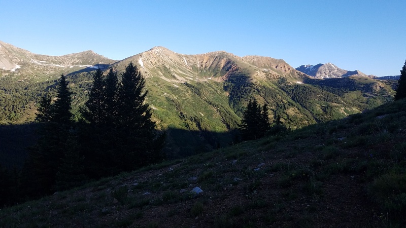
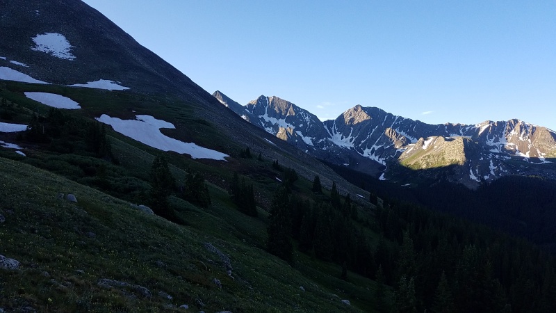
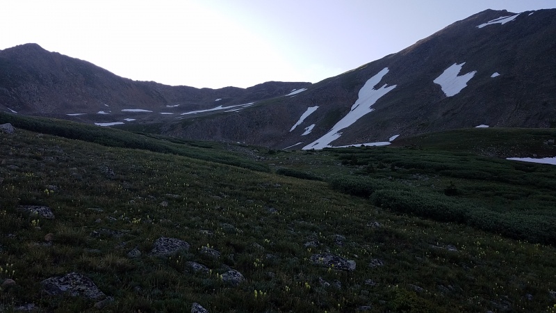
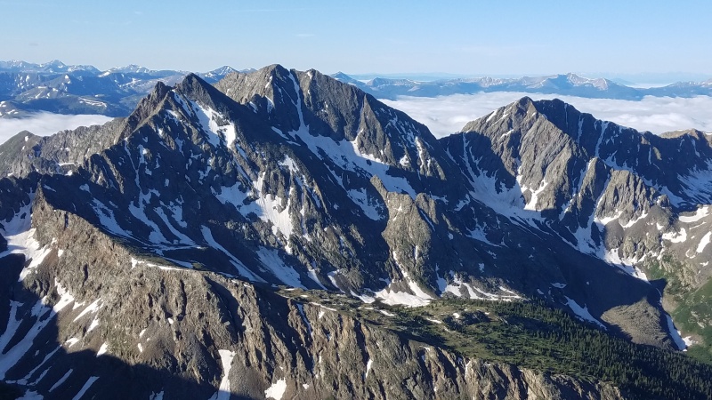
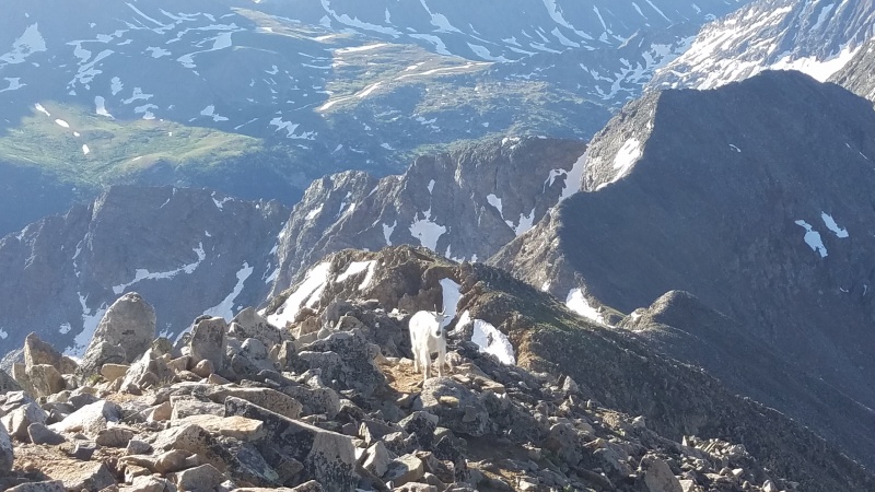
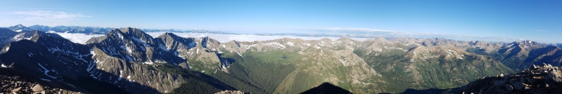
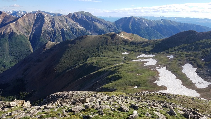
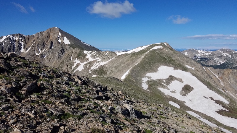
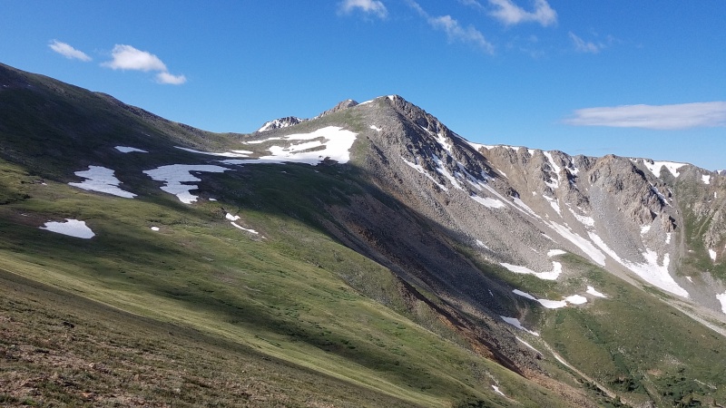
Enough of Huron. From the summit of Huron across the north ridge is where things get fun, and by fun I mean you get to hang out totally alone in an alpine playground. Those 134,871,089,357,139,487 people on the standard route? About 1/134,871,089,357,139,487th of that on the north ridge. From Huron the route over Browns-13,462-Middle is obvious.
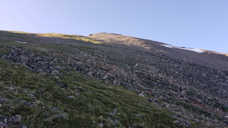
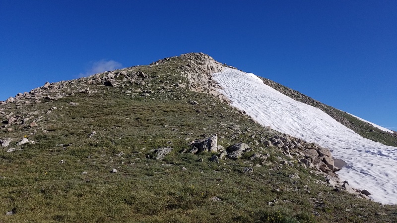
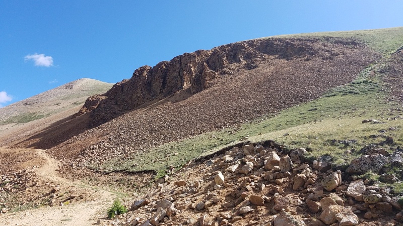
The first order of business was to bypass what appears from a distance to be an ugly notch that might require scrambling. I skipped the notch on its east side at Class 2. 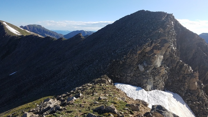
Once past the notch the remainder of the route is easy - up to the ridge crest and to grassy terrain. 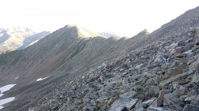
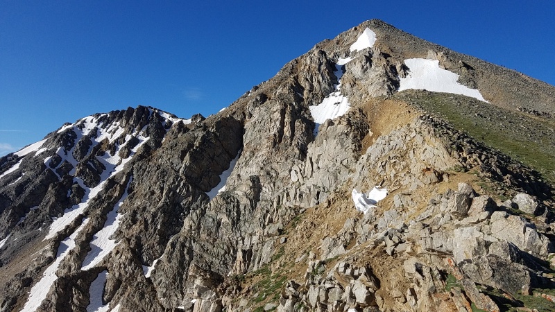
The ridge curves east towards Point 13,462 and continues on easy, grassy slopes, and thence to Middle Mountain on more grass. 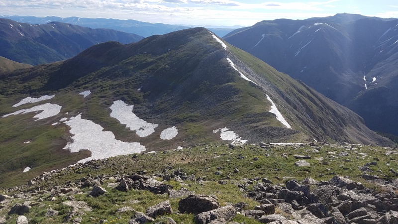
Once on top of Point 13,462 the route becomes only slightly unclear. Middle has two peaks, of which the westernmost is the actual summit, and there are a bunch of social trails that run underneath Middle's summit towards the road but none that go to the summit. It should be obvious by the time you're over on the first/western summit that it's actually the higher of the two. 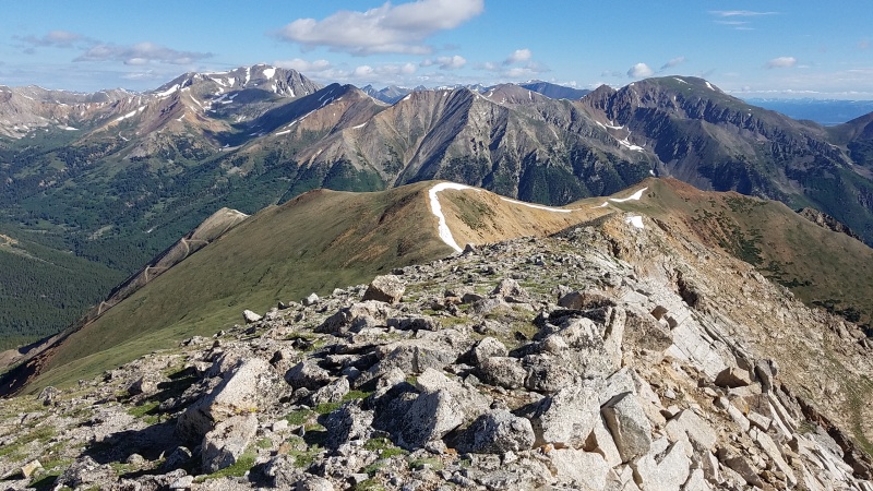
Once on the summit of Middle Mountain I had to make my way over to the road. The road doesn't go to the summit proper, but comes up to the low point on the northwest ridge/spur, then drops down into the basin on the west slopes. 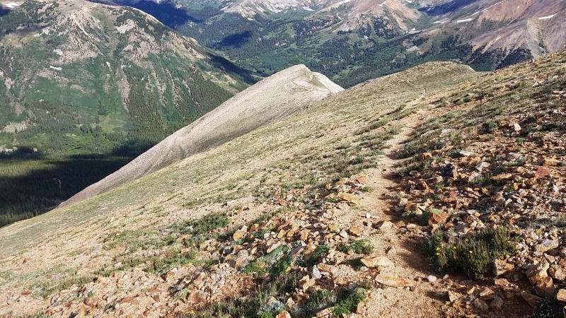
The road is in a state of terrible disrepair - at various points it's covered in rock slide debris, thick plants, and/or a foot wide at best - but is still better than trying to go down the slope without it. You definitely would not be able to drive on it unless you like dying. My guess is you don't. 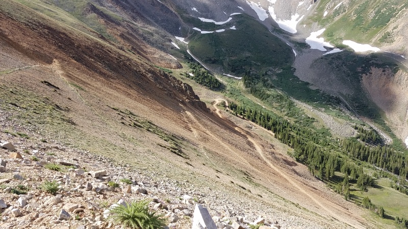
Once in the flats of the basin the road improves and it was a quick affair to get back to the Huron 4WD road. I had to cross some avalanche debris still on the road, as well as a creek crossing from higher in the basin, but nothing crazy. I passed a couple car camping far up the road near treeline, two of only three people I saw after getting on Huron's north ridge. Talk about having the place to myself! After a gazillion more switchbacks on the Lulu Gulch 4WD road I was eventually spit back onto the Huron 4WD road about half a mile up from the 2WD trailhead where I got picked up by my friend Clay for a second day of 13ers in Clear Creek drainage. 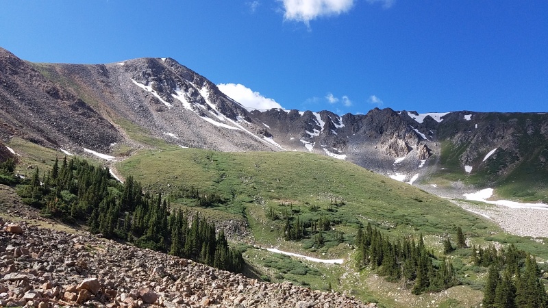
StatisticsClimbers: Ben Feinstein (myself)
Splits:
Thumbnails for uploaded photos (click to open slideshow): ")
")
")
")
")
")
")
")
")
")
")
")
")
")
")
")
")
")
")
")
")
")
|
| Comments or Questions | ||||||
|---|---|---|---|---|---|---|
|
Caution: The information contained in this report may not be accurate and should not be the only resource used in preparation for your climb. Failure to have the necessary experience, physical conditioning, supplies or equipment can result in injury or death. 14ers.com and the author(s) of this report provide no warranties, either express or implied, that the information provided is accurate or reliable. By using the information provided, you agree to indemnify and hold harmless 14ers.com and the report author(s) with respect to any claims and demands against them, including any attorney fees and expenses. Please read the 14ers.com Safety and Disclaimer pages for more information.
Please respect private property: 14ers.com supports the rights of private landowners to determine how and by whom their land will be used. In Colorado, it is your responsibility to determine if land is private and to obtain the appropriate permission before entering the property.