Download Agreement, Release, and Acknowledgement of Risk:
You (the person requesting this file download) fully understand mountain climbing ("Activity") involves risks and dangers of serious bodily injury, including permanent disability, paralysis, and death ("Risks") and you fully accept and assume all such risks and all responsibility for losses, costs, and damages you incur as a result of your participation in this Activity.
You acknowledge that information in the file you have chosen to download may not be accurate and may contain errors. You agree to assume all risks when using this information and agree to release and discharge 14ers.com, 14ers Inc. and the author(s) of such information (collectively, the "Released Parties").
You hereby discharge the Released Parties from all damages, actions, claims and liabilities of any nature, specifically including, but not limited to, damages, actions, claims and liabilities arising from or related to the negligence of the Released Parties. You further agree to indemnify, hold harmless and defend 14ers.com, 14ers Inc. and each of the other Released Parties from and against any loss, damage, liability and expense, including costs and attorney fees, incurred by 14ers.com, 14ers Inc. or any of the other Released Parties as a result of you using information provided on the 14ers.com or 14ers Inc. websites.
You have read this agreement, fully understand its terms and intend it to be a complete and unconditional release of all liability to the greatest extent allowed by law and agree that if any portion of this agreement is held to be invalid the balance, notwithstanding, shall continue in full force and effect.
By clicking "OK" you agree to these terms. If you DO NOT agree, click "Cancel"...
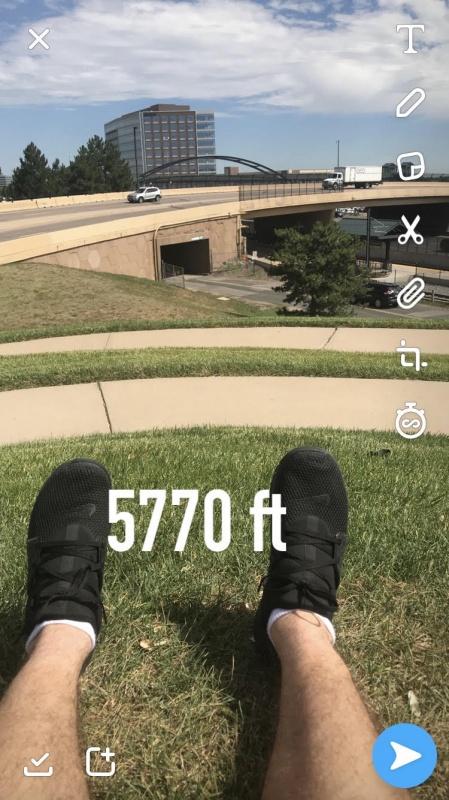
PT 5770 B has been on my list for quite a while now. After viewing it every day from my office, I just knew I had to scale its spiral like maze. Earlier this summer I was able to scale class 2 14er behemoths Culebra Peak, Uncompaghre Peak, and the infamous Handies Peak, so I finally felt in shape to give PT 5770 B a shot. While certainly not CO's highest peak, it at least breaks into the top 30 in the DTC range.
Located a convenient 3 miles south of the Denver Tech Center (DTC) its trailhead is easily accessible (although unmarked) and close to my house.
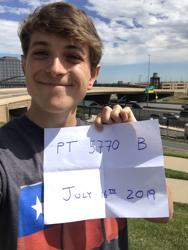
I finally decided that July 16th would be the day to mount a summit attempt. The weather forecast looked questionable at best, but I decided that it was a GO anyway. While I contemplated sleeping at the trailhead, I eventually elected to plan for an early start from my house. The previous night I set an alarm for 3.00am. To my dismay, I somehow slept through my alarm and woke up at 7:23!! I frantically made some eggs, bacon, coffee, lifted weights, and it wasn’t until 10:04 did I actually arrive at the trailhead. I know what you are all thinking...it’s too late in the day to summit a peak of this magnitude. My better judgement told me to save it for another day, but I decided that the weather looked OK so I went for it. By the time I got to the trailhead it was already packed. Summer climbing season has definitely arrived!
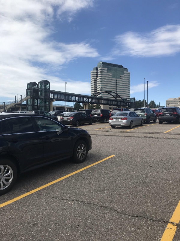
Full lot!
There was limited beta on this route so I started to head up the standard route (seen below). I would say it starts out as difficult class 1 before changing to easy class 2 before the I-25 traverse section.
Steeper than it looks!"Easy Class 2"
Once I ascended the I-25 traverse, I definitely thought this was the most exposed section of the hike. A fall from here would certainly be fatal! I definitely think this section lived up to its reputation.
Extreme Exposure
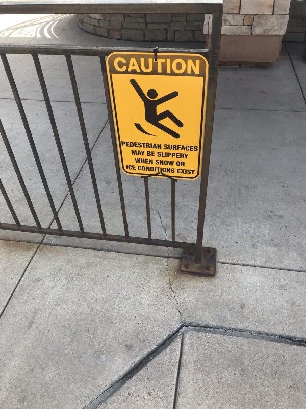
After the traverse section I was forced to do some railroad crossings. Attention to detail is required here. I would say the crossing had some class 3 moves. Fortunately, the forest service put up signs warning of various dangers, and that helped me keep on the standard route as well. I imagine that ice axe, crampons, helmet would definitely be needed for a winter ascent.
Class 3 moves to cross the tracksForest Service sign
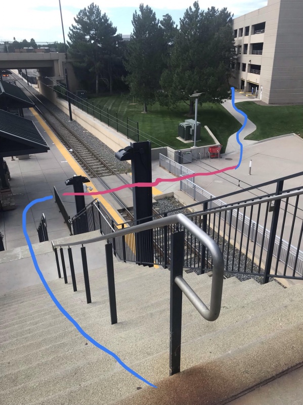
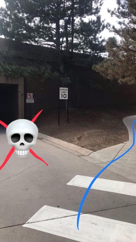
Past this section, it was important to stay on route. I've highlighted an important section below. Make sure to turn right as the left has caused problems with the loose road conditions that could be deadly.
DO NOT GO LEFT HERE!
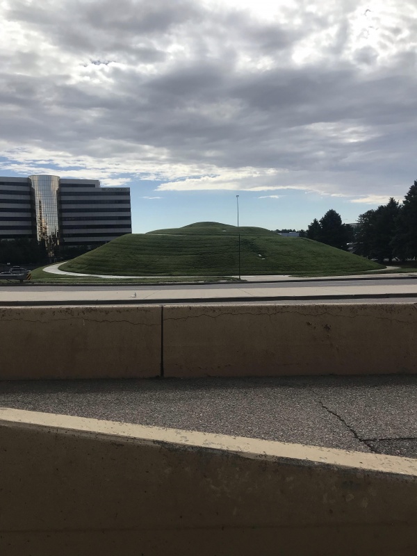
Eventually PT 5770 B's summit came into view for the first time
Getting closer!
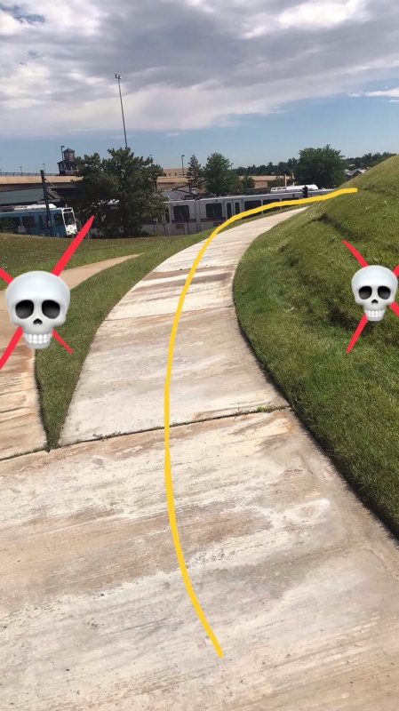
While the final part of the climb looks simple, I found it more challenging than I anticipated. I would estimate this is class 4/ easy class 5. I frequently found myself off route on exposed grassy sections. I think the sprinklers were on the night before so the grass was extra slick. It would not hurt to bring crampons on this section for extra grip. I pointed out the dangerous section as well.
good route-finding on rock slabs required!!
I spent a couple minutes on the summit, but I noticed there was a cloud so I figured I better turn back.
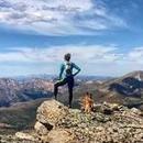
Relaxing on summit :)
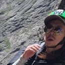
Shameless summit Selfie!!
Fortunately, the way down was much easier, and I was able to descend on concrete-esque slabs. Thanks CFI for the amazing work on this section! At 10:30 I made it back to my vehicle and called my mom to tell her I made it down safe.
Overall, I learned a lot on PT 5770 B. I found it to be harder than most peaks that I’ve summited. For comparison PT 5770 B is about on par with PT 5567 C and PT 5394 , easier than PT 5559 and PT 6078, and harder than Mt. Belford.
Trip statistics below:
Start: 10:04
Summit: 10:17
Back to car: 10:30
Elevation gain: 132’
mileage: 0.34 miles
Thumbnails for uploaded photos (click to open slideshow):
Very nice. I've been up a few like this around the metro area over the years. Great outings, keeps it interesting and you get some small satisfaction of accomplishing something.
I like the way you mocked us all in fun complete with directional arrows, a great touch! You did forget the topo map though! :) Lovin It!
You are obviously a total n00b wearing a cotton shirt and starting out so late that you barely made it down before the noon thunderstorms.
Do you think a Honda Civic could make it to the TH?
A first known ascent in the Greater Ranges? 7/17/2019 8:23am
Wow, super impressed that you went right for an alpine test piece! Good for you!! Can you also please publish a recommended gear list? Not sure I'd ever try something like this, but maybe with a few more years of climbing under my belt. Maybe...
:-) Cool report! Actually I've passed this peak probably a few thousand times, we live about 2 miles away, one of my daughters recently commented that she wasn't sure why the sidewalk spiraled around it. Now we have to go do the 2nd ascent! Thanks for the beta!
-Tom
Judging by your shirt, I'd guess you're from Texas. Props to you! After Bierstadt I don't think there's any way my flatlander lungs could handle this. I wonder if CORSAR would have trouble getting a helo in there for me.
You didn't even take the alternate route, Fiddler's Face Couloirs. Everyone knows the route up Fiddler's puts the standard route to shame on PT 5770 B. More route finding, and more spicy... especially when taking the Torchy's Tacos variation. Get back to me once you've climbed it from Fiddler's and I'll give you props. :yawn:
Getting to the summit is optional, getting down is 7/18/2019 9:23pm
So glad that you had safe travels. It is definitely a challenging climb that few have survived. So happy that your expedition went well. Live to climb something else at some day some time somewhere else in the DTCimalayas Range.
Thank you all for your support and words of encouragement. The last several days have felt like a blur, and I've only just now begun to realize the magnitude of my accomplishment. A world record is something I've always dreamed of as a little kid, it feels unreal.
I find this beta false and insufficient. I attempted this peak based on the information provided, including recommended gear. The stairs were well beyond class 2, getting into difficult class 3 towards the top. The Forest Service signage was awful and I found your route lines confusing, which led to a wrong turn down the railroad tracks. I hiked for a solid 3 miles before I realized I was on the wrong route. After making my way back on route I tripped on an empty Four Loko can, scraped my knee and ripped my favorite pair of Jnco jeans. I quickly went home, patched my Jncos, tended to my wound, and headed back to the trail. To my dismay, there was a false summit you failed to mention. This crushed my spirit beyond repair. Once past the falsie, I donned my crampons and climbing axe. Despite my insane skill and phenomenal gear, the summit was not accessible by mortal humans. I was forced to submit my will to 5770 B. My first unsuccessful summit.
In summary: You have sullied this peak with your callous, inadequate, and falsified beta. Pt 5770 B is a soul crusher. It will break any who attempt it.
Very impressive. If you want to take your alpine career to the next level, the North Face of Uxbridge Road is yet to be repeated.
Caution: The information contained in this report may not be accurate and should not be the only resource used in preparation for your climb. Failure to have the necessary experience, physical conditioning, supplies or equipment can result in injury or death. 14ers.com and the author(s) of this report provide no warranties, either express or implied, that the information provided is accurate or reliable. By using the information provided, you agree to indemnify and hold harmless 14ers.com and the report author(s) with respect to any claims and demands against them, including any attorney fees and expenses. Please read the 14ers.com Safety and Disclaimer pages for more information.
Please respect private property: 14ers.com supports the rights of private landowners to determine how and by whom their land will be used. In Colorado, it is your responsibility to determine if land is private and to obtain the appropriate permission before entering the property.


")
")
")
")
")
")
")
")
")
")
")