| Report Type | Full |
| Peak(s) |
Rinker Peak - 13,789 feet Twin Peaks - 13,341 feet Twin Peaks B Northeast - 13,270 feet |
| Date Posted | 07/08/2019 |
| Modified | 07/10/2019 |
| Date Climbed | 07/07/2019 |
| Author | JQDivide |
| Additional Members | bmcqueen |
| Rinker Ridge |
|---|
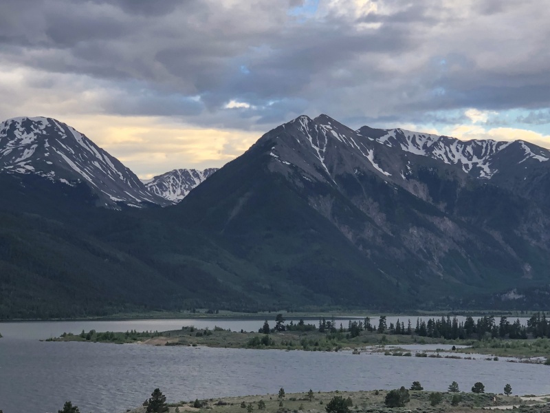
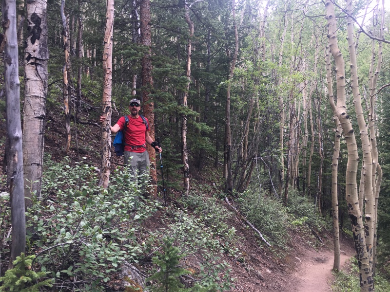
GAIA STATS I’ve been camping at Twin Peaks Campground along Indy Pass for years. Our favorite spot has a great view of Twin Peaks. The view of the mountain from the lake is also pretty good. (Hard to find a bad view of any of the peaks in that area.) I was looking for something to do that wasn’t a 14er over the July 4th holiday weekend. Twin Peaks seemed like a great option, and I’d finally climb that mountain I’ve stared at for so long. Toss in Rinker and you have a solid day in the mountains. A few messages went out and Brad was able to join me. Wasn’t sure what to expect with possible snow, due to the heavy winter we had. Checking out the peaks on the drive over, they look fairly clear. 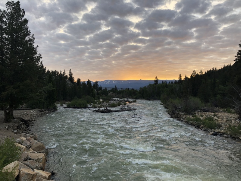
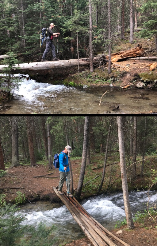
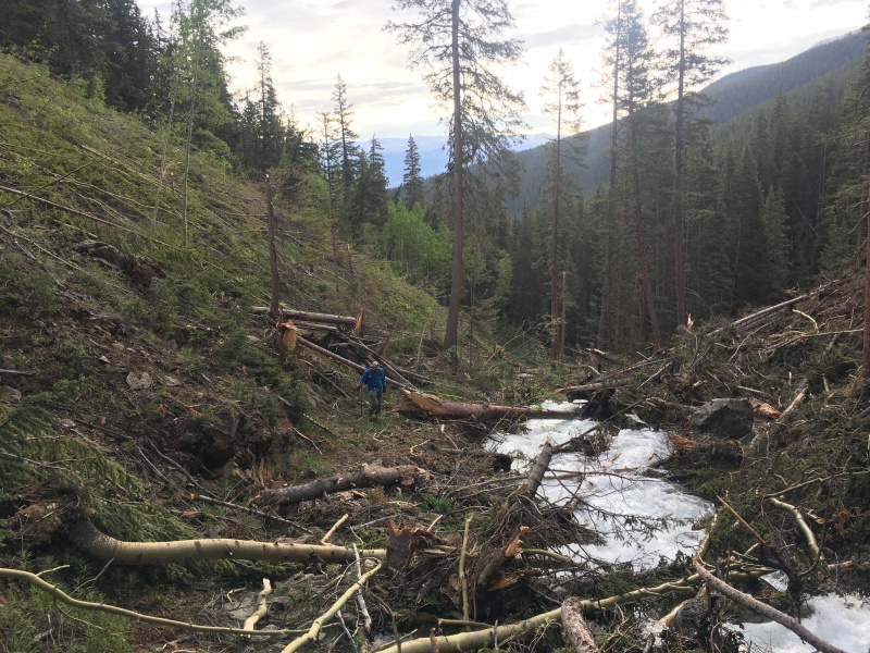
The weather was typical sunny in the morning with a chance of afternoon showers. We started a 6 a.m., but the sky was partly to mostly cloudy. It stayed like that all day. (Still got a bit of sunburn.) The trail is in great shape all the way into the basin. (Anyone know about what looks like a drainage ditch along the trail? )Though with the heavy snow melt, the creek was raging. It over ran its bank in a spot and the trail was running with water. There were a few crossings to maneuver, but nothing difficult. We hit the split for Willis Gulch and Hope Pass about an hour into the hike, we went right. 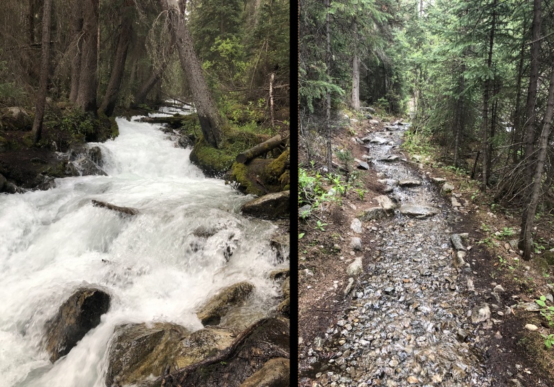
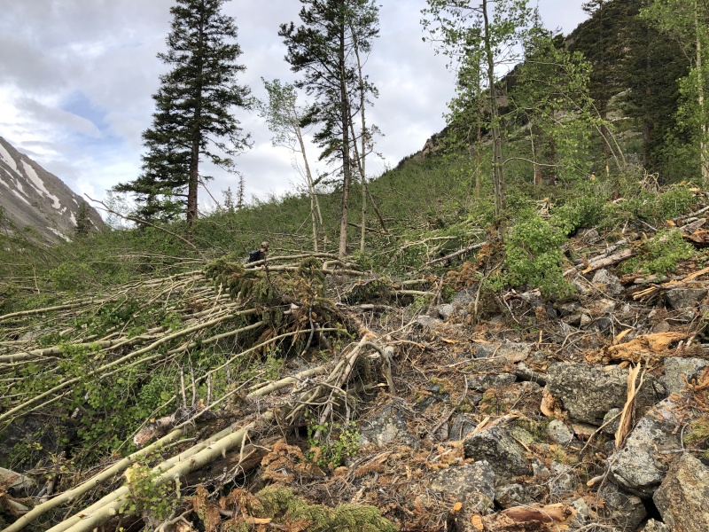
One of the hardest parts of the day, was the avy debris covering the trail. There were two avalanches that released during the winter. We hit the first one at about 10,500 feet. The second one shortly after that. After struggling to stay on the path and climb over trees, Brad decided to go up and around the second avy. I was sweating as I fought my way through the debris and the small aspens that survived. It took some extra time (30 to 40 minutes) and effort to get passed it near 11,000 feet.
But one cool thing about the detour was finding old mining cabin remains and an ore cart. Those aren’t visible on the normal route. 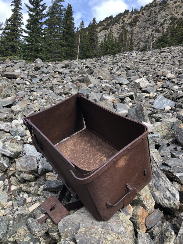
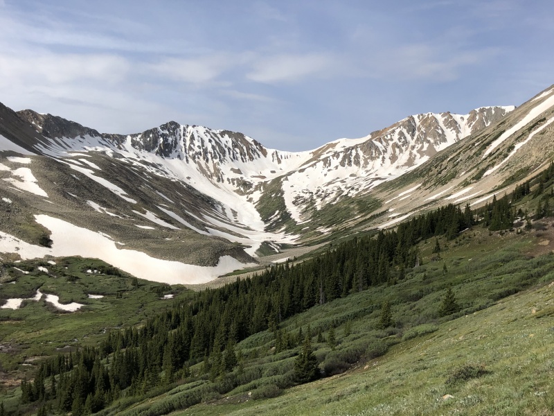
Back on the trail, the basin kind of reminded me of Missouri Gulch. Nice flat-ish basin with grass, wildflowers and willows. There were not an abundance of wildflowers along the trail. But there were a large number of varieties, including red columbine, jacob’s ladder, and mountain rose. There was a small group camped near the first of two cabins at about 11,500 feet. We ran into one of the ladies fishing the creek just before the saddle. Looked like a few nice places to camp between the cabins and the first lake. 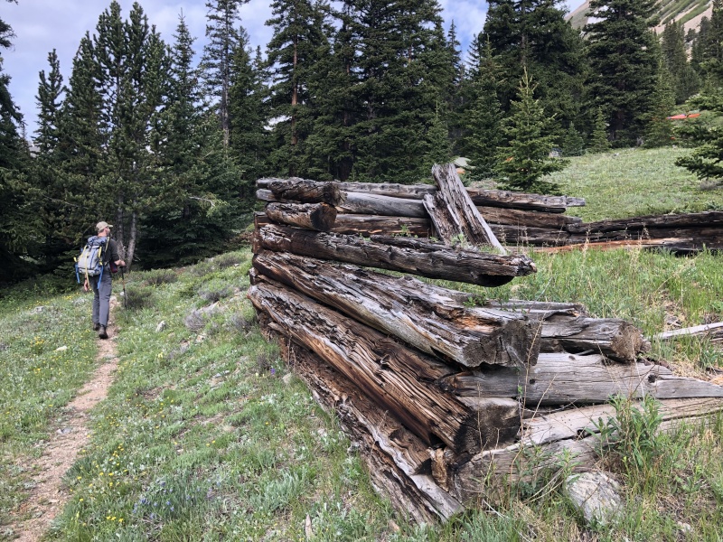
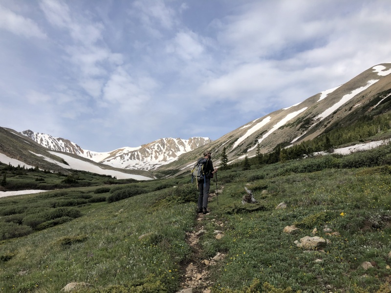
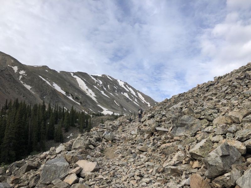
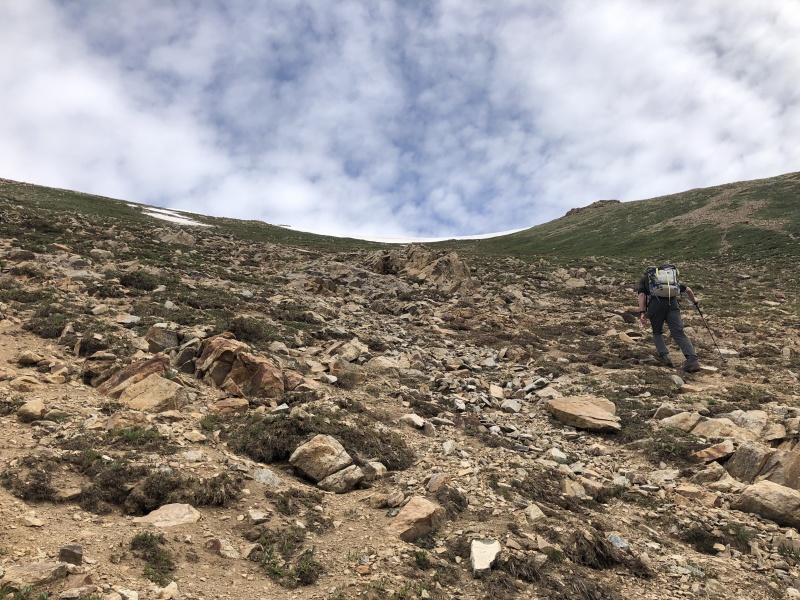
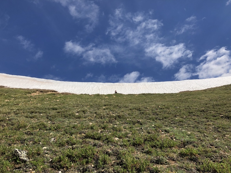
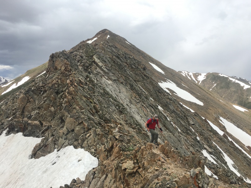
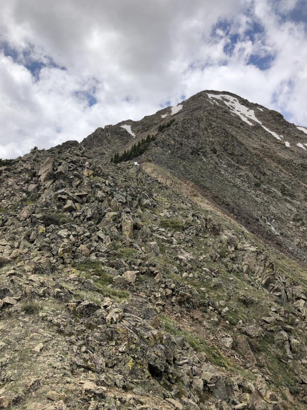
We got to the split for the saddle at 8:45 a.m. and debated which route to take. Looking at other TRs, seems people go one of two ways. We took the direct approach with the short switchbacks. (Oddly neither of us got a photo of this area.) It took an hour to hike the slope, from 11,680 to 13,000. Swithbacks ran out near 12,400 feet and it became a chose you own adventure with dirt, rock and grass. We took a short snack break below the remains of a cornice on the saddle. (It wasn’t going anywhere.) 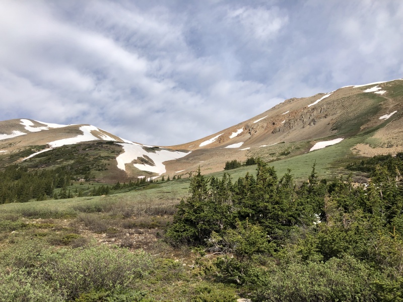
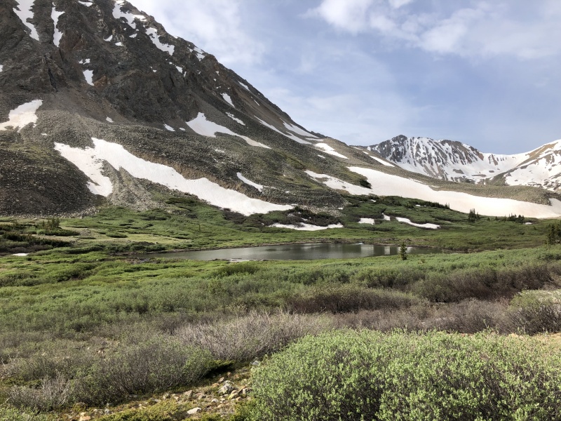
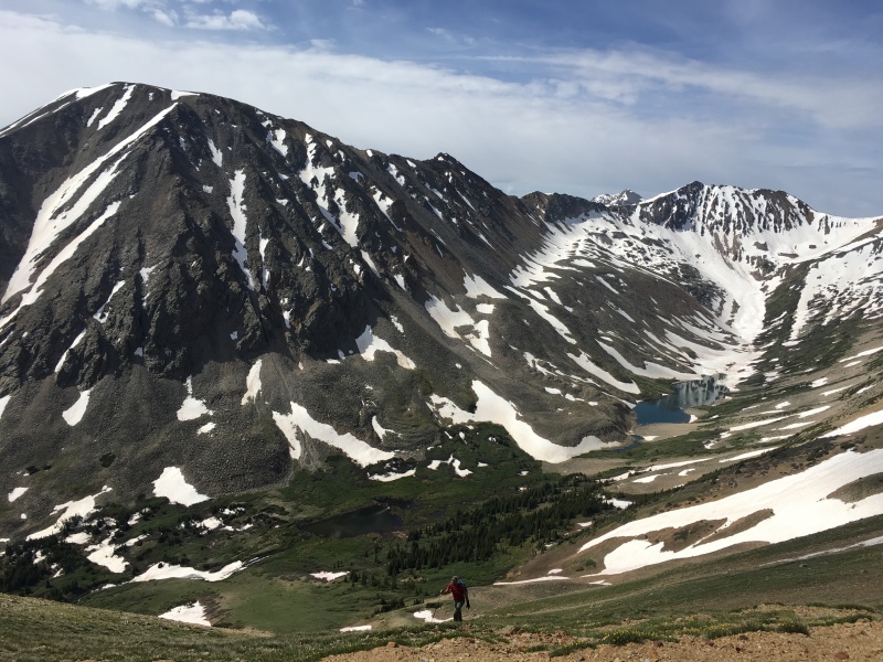
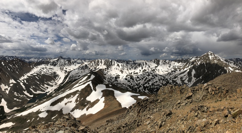
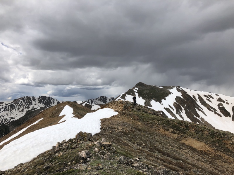
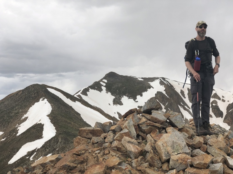
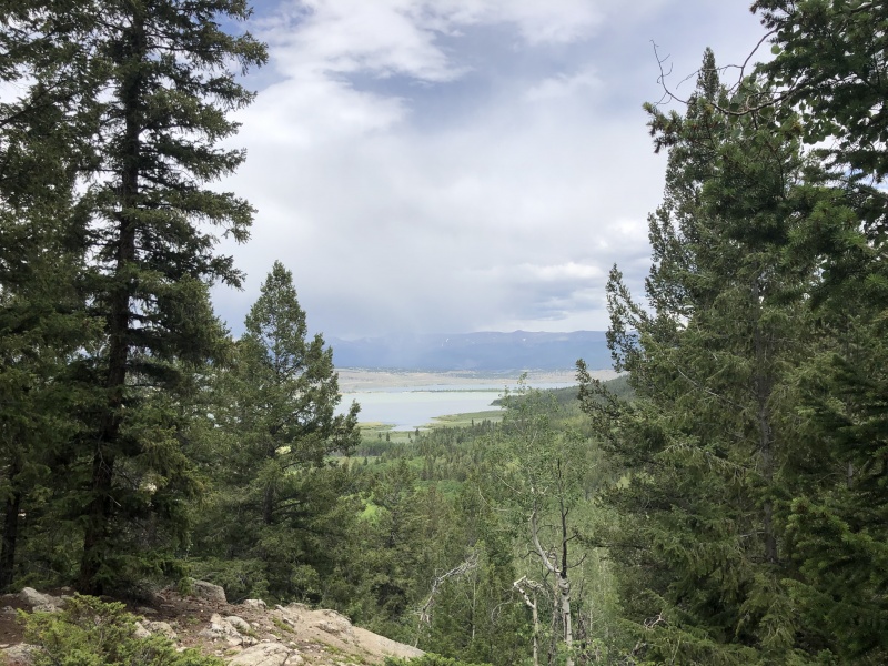
From there it was another 40 minutes to the summit of Rinker. We hiked a narrow snow field for a while and then onto rocky ground. We probably spent 25 minutes on the summit, getting another snack and looking at all the snow still on the peaks. We debated what 13er we were could see to the left of LaPlata. We were sure it wasn’t Sayres Benchmark, but it was. Seemed cloudy nearly everywhere. And there were a few places we could see rain. But nothing was over us. We left the summit around 11 a.m. 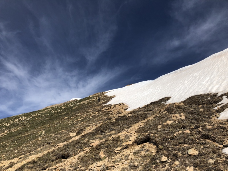
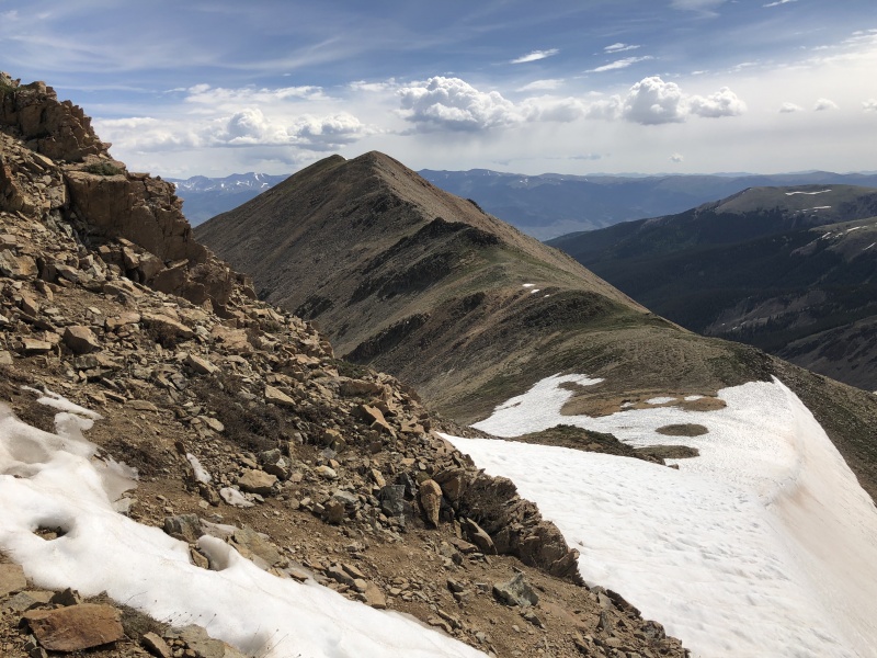
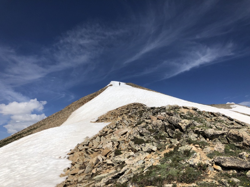
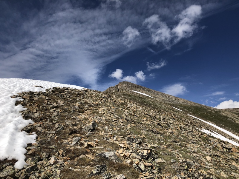
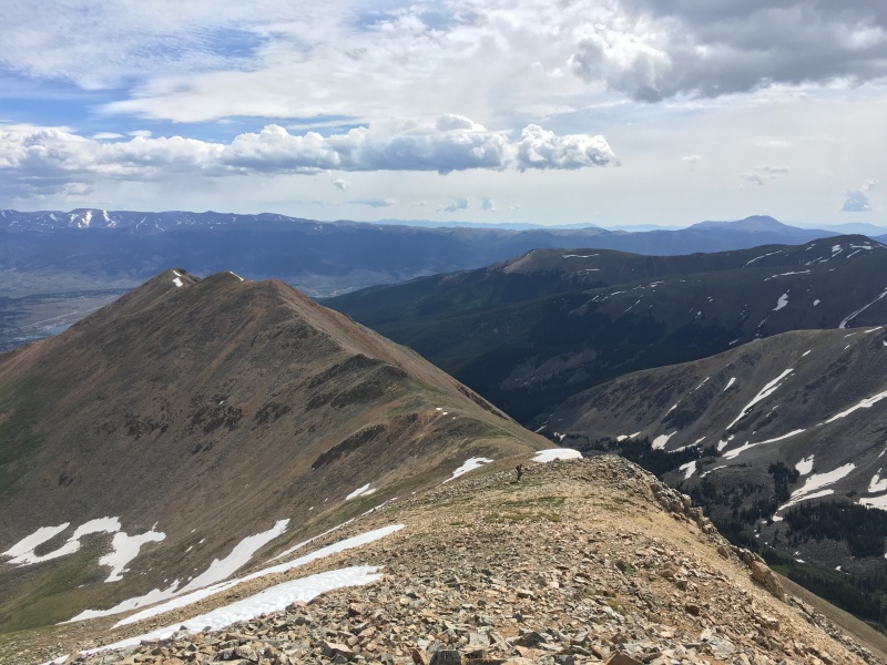

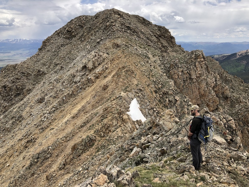
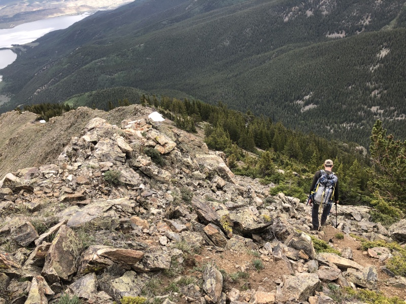
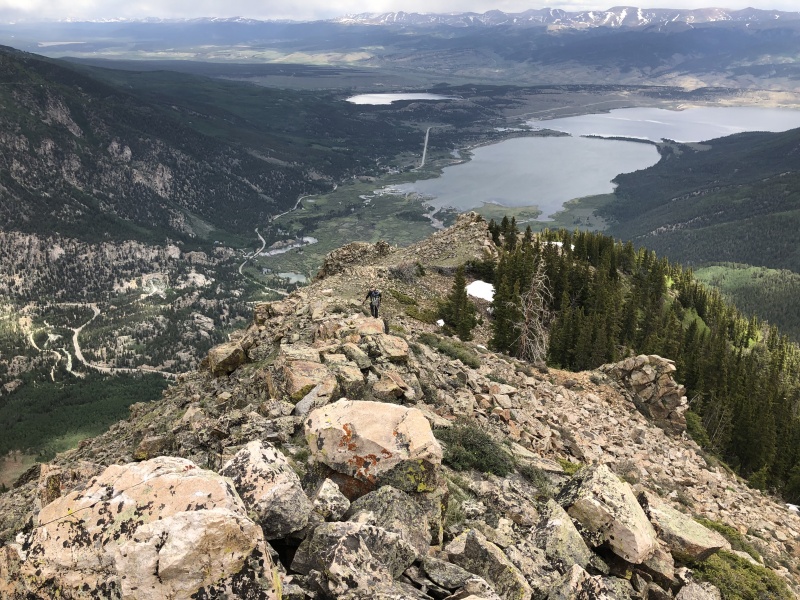
Less than 40 minutes later we were on Twin Peaks B. Another 20, on Twin Peaks B Northeast. The ridge was a typical rocky ridge, nothing to really think about. Though going to the right of a couple rock piles seemed like the better option. Now we had options, go back the way we came and fight the avy debris or take the northeast ridge direct. We took the ridge. Other people have, so why not. 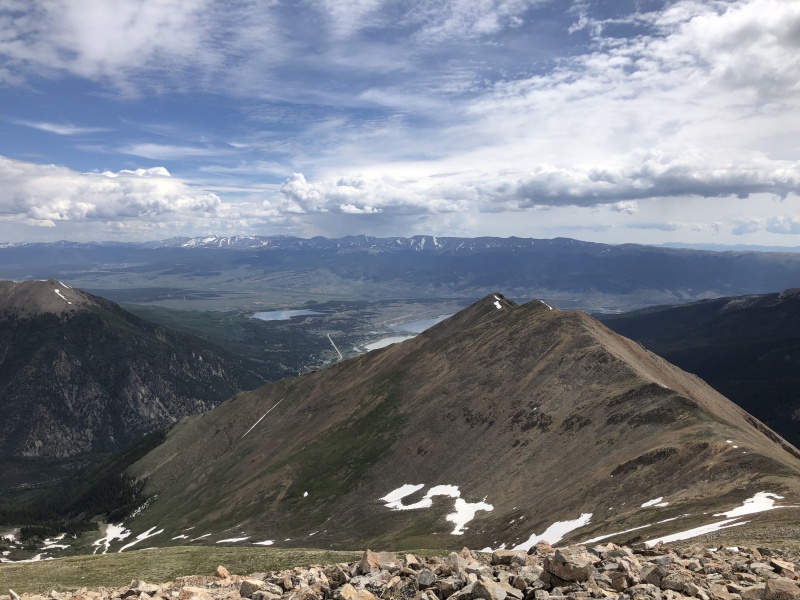
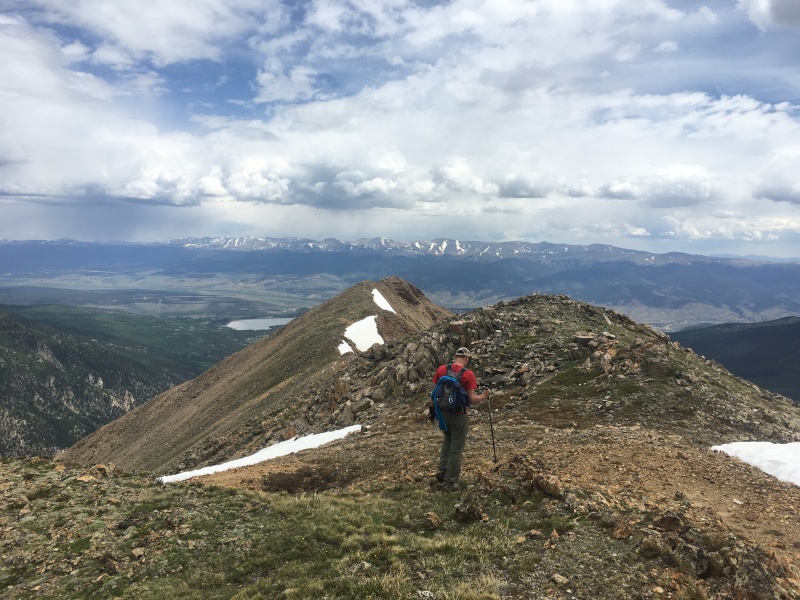
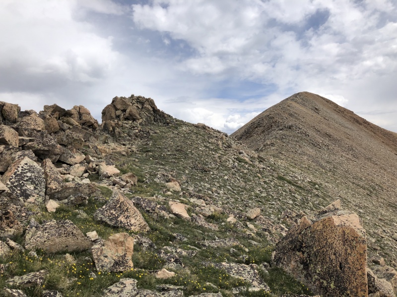
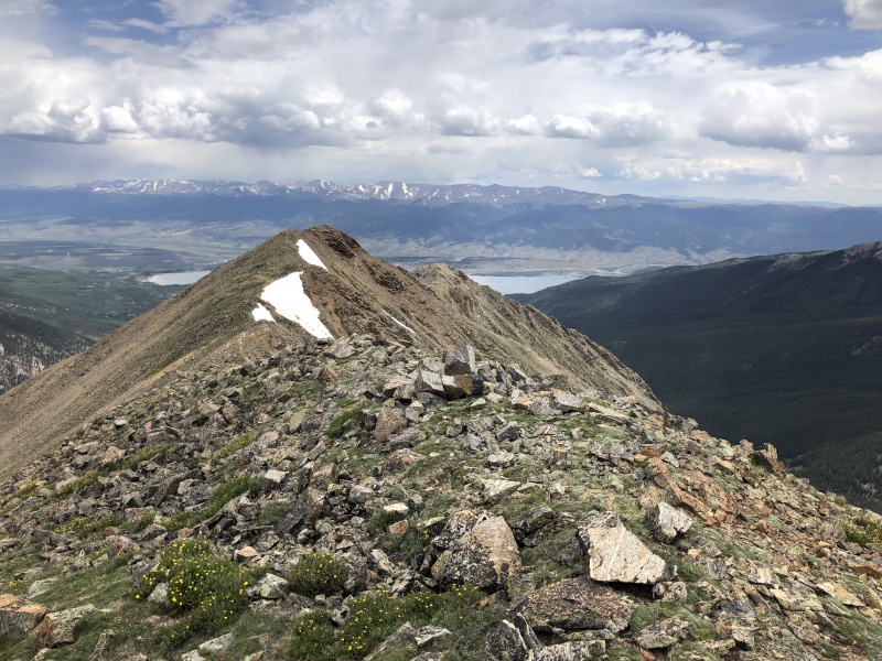
 As we left the second Twin, we spooked a herd of about 24 mountain goats. They were at least 100 yards away, if not more, on the ridge. Don’t know if they saw us or heard us talking about them, but they were up and moving right quick. We continued on the ridge for 30 or so feet, and a single mountain goat looked up at us. He glanced at the herd, did a double take, and realized they were moving without him. He took off to catch up. Another individual saw what he was doing and started following him. From here, the ridge became more rocky, and care was needed for hiking. Nothing major, still Class 2+, but a few hand placements for balance were needed. We topped out at what could be a Triplet instead of a Twin at 13,040. 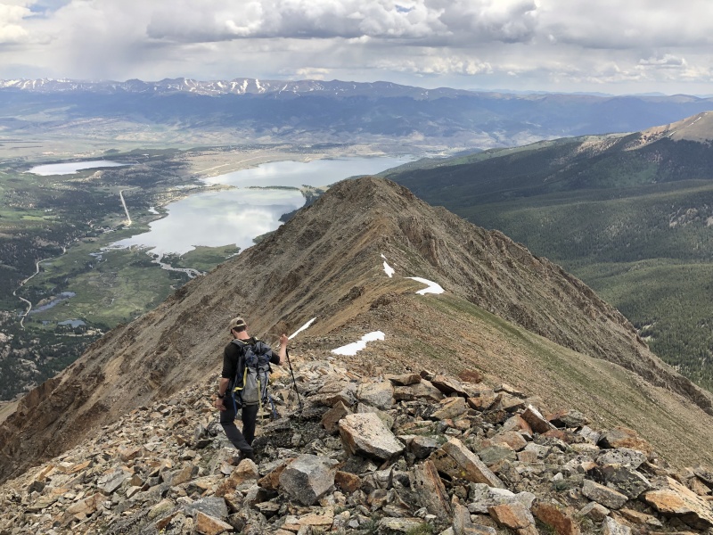

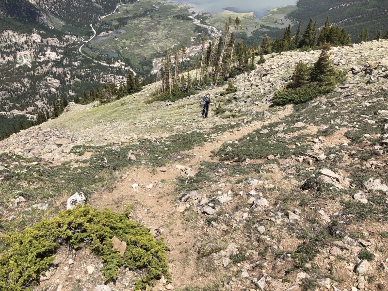
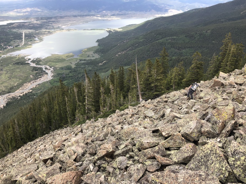
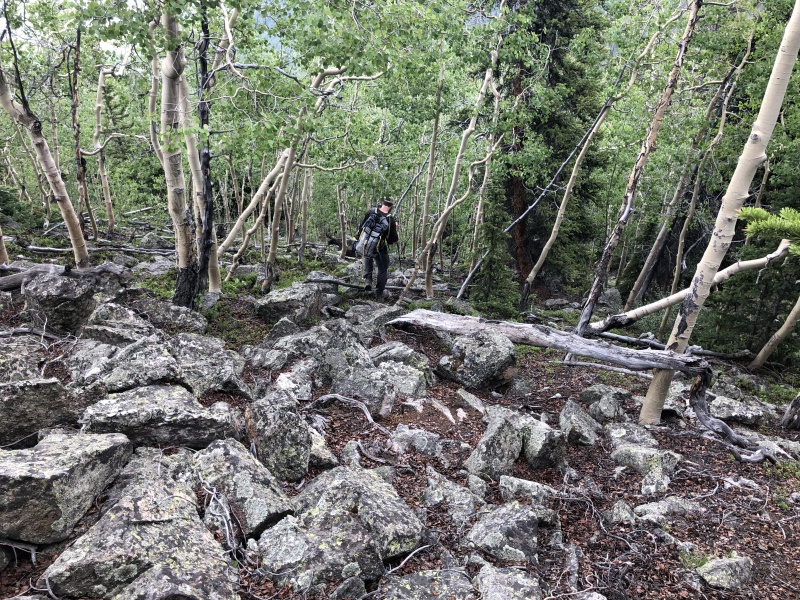
This is where the hike turned to suck. Typical 13er love. Type 2 fun. We had to descend 3,440 feet of rocky ridge. The hike down was draining. You had to watch every foot placement on the rocks. We didn’t get into the trees until near 11,500 feet. And then it was rocks and slick pine needles. Then it was rocks and downed aspens and branches, like walking through a game of pick-up sticks. We got a few sprinkles of rain in the trees, but nothing too bad. I did stop twice to spray myself with mosquito repellent. The bugs were bad in a couple spots. Near the bottom we found a couple good game trails that led us toward the main trail. It took us more than two hours to descend back to the trail, but it seemed a lot longer. 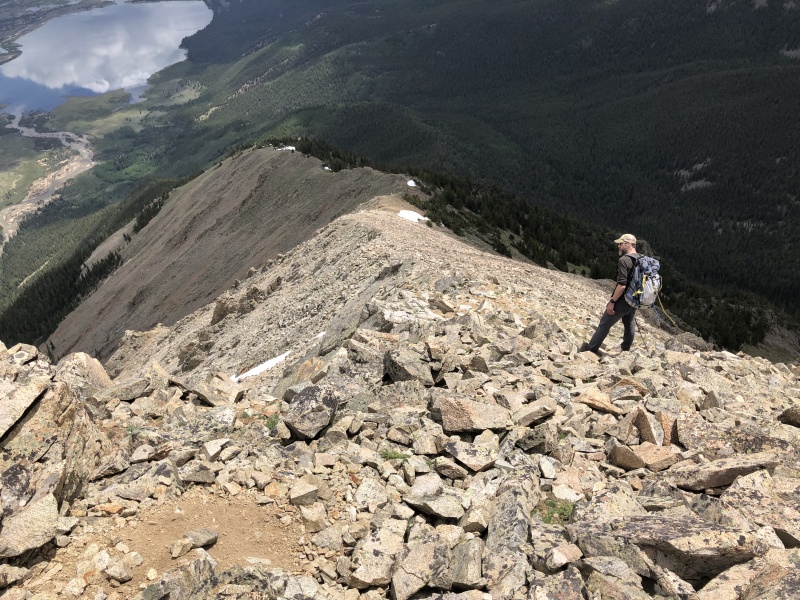
I think I’d rather go down the way we came up if I had to do it again. Though the distance would be longer, I think the time would be about the same (except for the avy debris), with less wear and tear on the knees and ankles. 
Overall a great 13er hike. Thumbnails for uploaded photos (click to open slideshow): ")
")
")
")
")
")
")
")
")
")
")
")
")
")
")
")
")
")
")
")
")
")
")
")
")
")
")
")
")
")
")
")
")
")
")
")
")
")
")
")
")
")
")
")
")
")
")
")
")
|
| Comments or Questions | |||
|---|---|---|---|
|
Caution: The information contained in this report may not be accurate and should not be the only resource used in preparation for your climb. Failure to have the necessary experience, physical conditioning, supplies or equipment can result in injury or death. 14ers.com and the author(s) of this report provide no warranties, either express or implied, that the information provided is accurate or reliable. By using the information provided, you agree to indemnify and hold harmless 14ers.com and the report author(s) with respect to any claims and demands against them, including any attorney fees and expenses. Please read the 14ers.com Safety and Disclaimer pages for more information.
Please respect private property: 14ers.com supports the rights of private landowners to determine how and by whom their land will be used. In Colorado, it is your responsibility to determine if land is private and to obtain the appropriate permission before entering the property.


