| Report Type | Full |
| Peak(s) |
Isolation Peak - 13,114 feet |
| Date Posted | 05/11/2019 |
| Date Climbed | 09/15/2002 |
| Author | flyingmagpie |
| Climbing Isolation Peak |
|---|
|
I first climbed Isolation Peak in September, 2002 using my interpretation of the Class 2 Southeast Slopes Route that Gerry Roach describes in his “Rocky Mountain National Park: Classic Hikes and Climbs.” His description covers the route beyond Isolation Lake. From the trailhead to the peak and back, there is over 4,600 feet of gain and loss on this climb. The round trip distance is maybe around 16 miles. The trailhead I used for Isolation was the main Wild Basin Trailhead, past the Wild Basin Ranger Station. On this climb, just like for my climb of Ogalalla, I took the branch of the trail that passes Calypso Cascades and the signed turnoff to Ouzel Falls. I chose not to view Ouzel Falls on this long climb, though. Once again I was headed to Bluebird Lake. It is a 6 mile hike just to reach Bluebird, 12 miles round trip. I did not find Isolation to be nearly as tough to climb as I found nearby Ogalalla to be. That day, my climb of first Ouzel and then Ogalalla Peaks involved a total gain and loss of over 5,000 feet of elevation and covered nearly 20 miles round trip. That was a killer day hike for sure, and one that I never repeated. I enjoyed the long climb of Isolation enough that I repeated it two years later, in September, 2004. Both climbs of Isolation were in September. I enjoyed the colorful autumn foliage on both climbs, and photos from the two climbs are intermixed in this trip report. I did all of my RMNP 13er climbs as day hikes, solo, the first time I climbed each peak. I spent a lot of time in Rocky alone between July, 1999 (when I first attempted and failed to climb Mt. Meeker) and August, 2003, when I completed my journey of climbing all of the Park’s 13ers by climbing Rowe Mountain and Peak, my finishers. Oh, I didn’t stop climbing Park 13ers in 2003! I repeated them a number of times before I started seriously pursuing my journey to climb all the Colorado 14ers. The Park 13ers are satisfying peaks, and each time I climbed them was a unique day all its own. No two climbs are ever exact repeats of one another, as we all know. In my first paragraph I say I climbed “my interpretation” of Gerry Roach’s Southeast Slopes Route because there were no lines drawn on topo maps in Gerry’s book, no photos taken all along the route to follow, no trip reports on 14ers.com or any other website with which I was familiar. Beyond Gerry Roach's description, once I left the trail behind, I had to figure out the exact approach and climbing route on my own. Basically, I had studied Isolation Peak from the great view provided of it from the summit of Copeland Mountain. From Copeland, I saw there was a broad shoulder on the south side of Mahana Peak above Bluebird Lake that would serve as a fine gradual ramp up to Isolation Lake. And I saw that the best route to the summit of Isolation was not up any rubbly rocky slope, but just to the right (north) of a ridge line above some cliffs that led up to a lower and less spectacular pinnacle just south of Isolation itself. I didn’t intend to climb the lesser pinnacle. My goal was really to first reach a broad, grassy saddle between that lower pinnacle and Isolation. I saw that another ridge line ran from the saddle to Isolation’s summit. I knew ridge lines usually held more solid rock than steep scree and talus slopes, and a scramble up more solid rock was exactly what I was looking for. So, I guess you might call my route “The Southeast Ridges Route,” because that is a more accurate description of it than a “slope” climb. I didn’t climb up rock rubble. I scrambled up more stable rock. 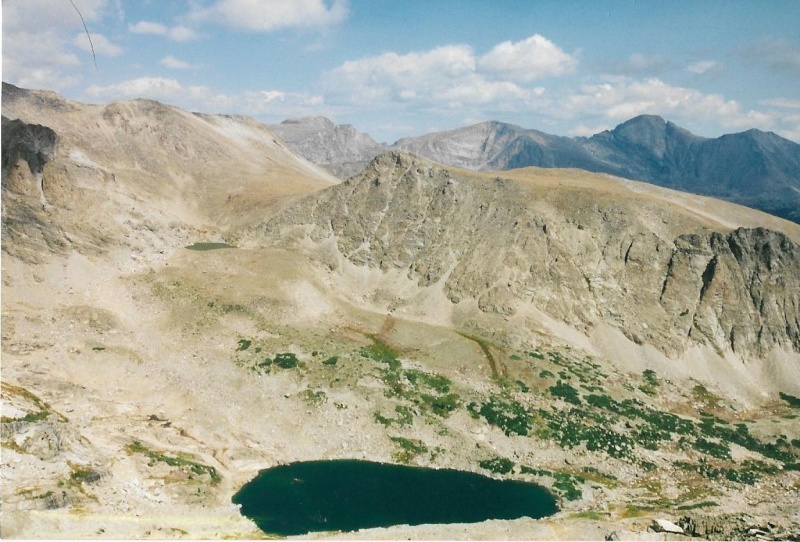
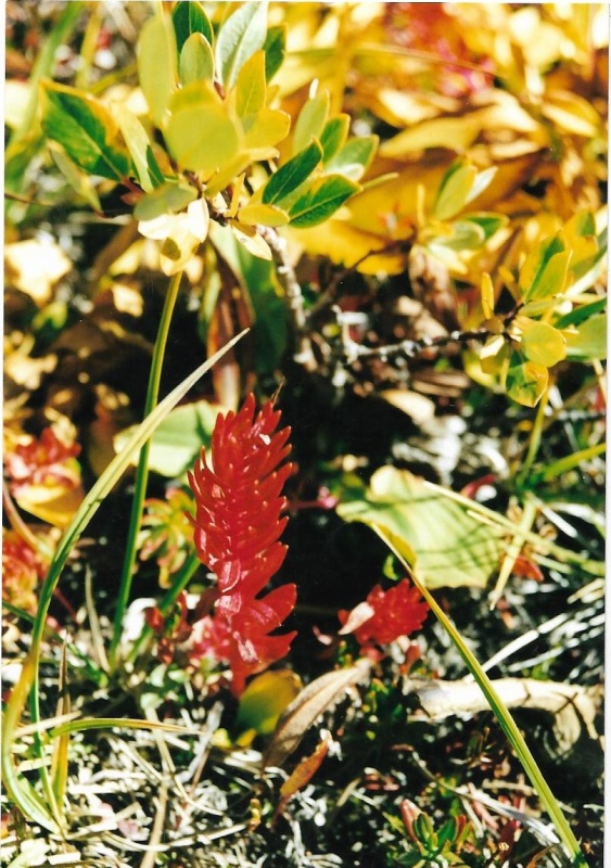
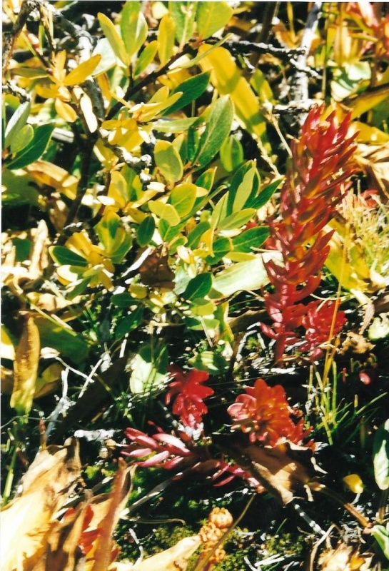
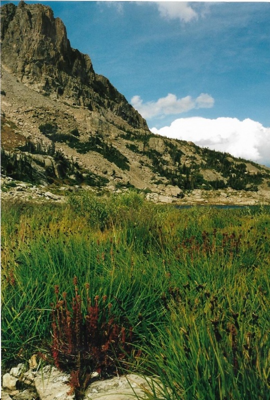
Isolation Peak is just outside the camera's field of view, to the left. Mahana Peak's summit is high center, just below the slope of Pagoda, to the left of Longs. That's Pipit Lake bottom center. The broad ramp to Isolation Lake lies between Pipit, and Mahana's steep, cliffy slopes. That was my route to Isolation Lake, visible below and left of Mahana's summit. Like Ogalalla, Isolation’s climb demands an alpine start. It is a very long, glorious day. And also, like my climb of Ogalalla, I never encountered another soul past Bluebird Lake either time I climbed the peak. This truly was a solo climb. Just like for my trip report on Ogalalla, I think I can assume everyone on this site can follow topo maps and trail signs to Bluebird Lake. I’ll just start this TR off with a few fall foliage shots from just below Bluebird. The last bit of trail up to Bluebird is pretty steep. Beyond Bluebird and on up to Isolation Lake, this journey remains a hike. Past Isolation Lake, the hike becomes a climb, and a good one. 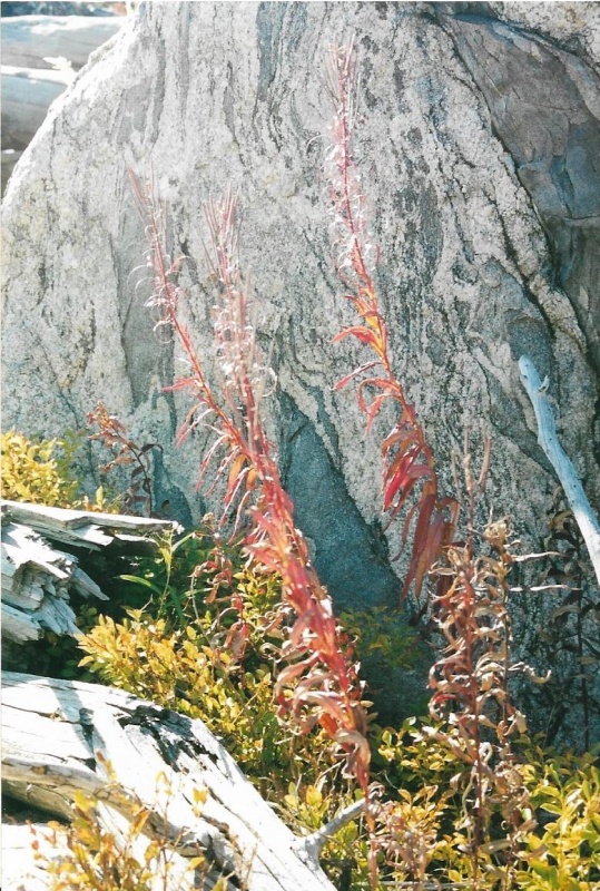
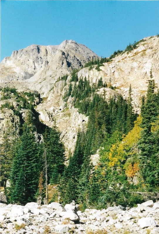
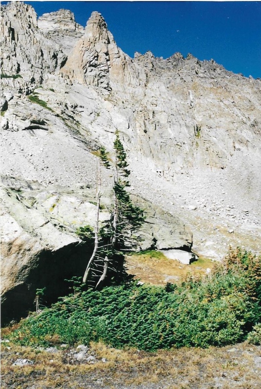
It also marks the beginning of the steepest portion of the trail to Bluebird Lake. 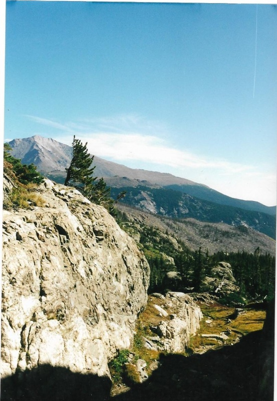

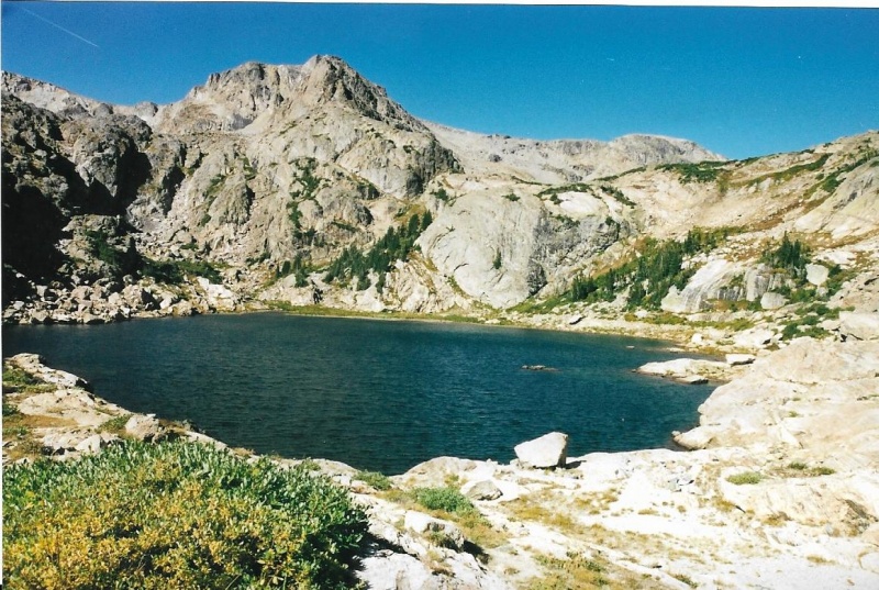

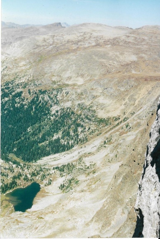
Lark Pond and Pipit Lake are above in the valley. I got onto the ramp just above Bluebird, but could have accessed it from above Lark Pond just as well. That's Isolation's splendid summit top center! My route to Isolation passed to the right of Isolation Lake, barely visible. Beyond Isolation Lake. I cut up above the cliffs to that ridge line ascending to the minor pinnacle left below Isolation.Then from the grassy saddle between pinnacle and peak, I headed straight north on the ridge line that runs along the Continental Divide toward the summit of Isolation itself. 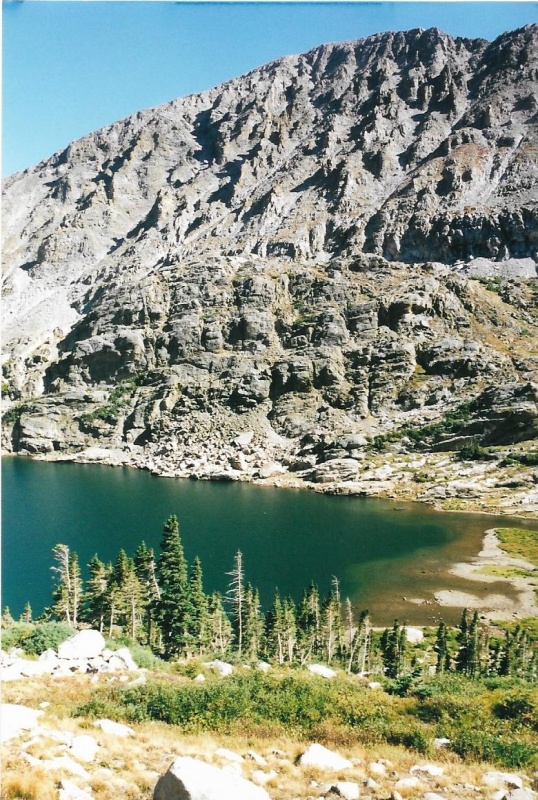
As you climb up from Bluebird Lake on the broad ramp on the shoulder of Mahana Peak, you pass Lark Pond and Pipit Lake on the exact opposite side of both than you do to climb first Ouzel, and then Ogalalla Peaks. 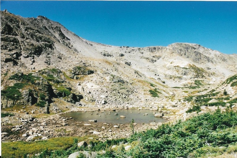
You can see the grassy slope rising up the side of Ouzel Peak behind Lark Pond. That was the beginning my route up Ouzel Peak, and from there I went on to climb Ogalalla. 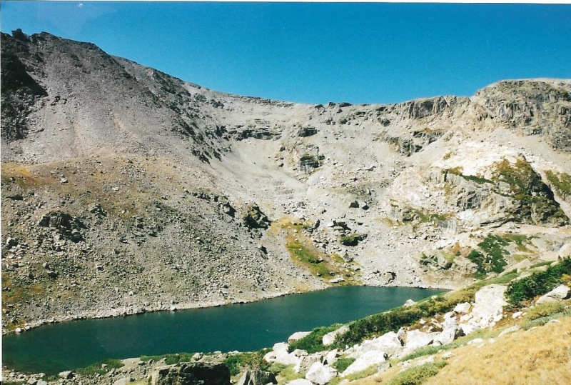
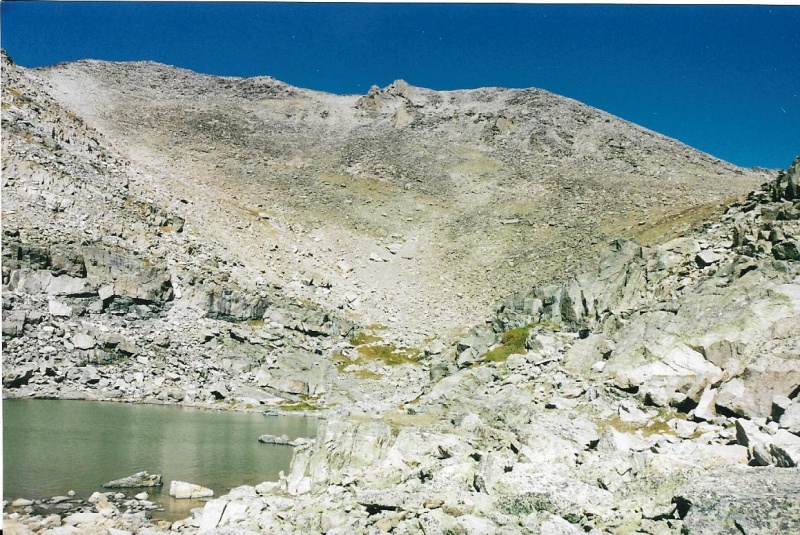
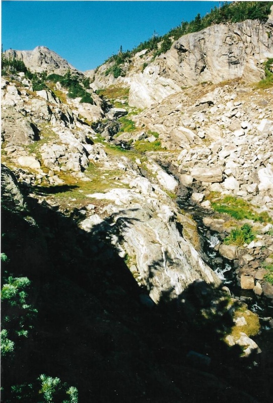
I skirted around the right-hand shoreline of the lake, and chose a route just above the cliffs on the far shore. 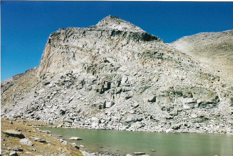
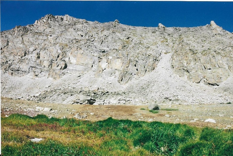
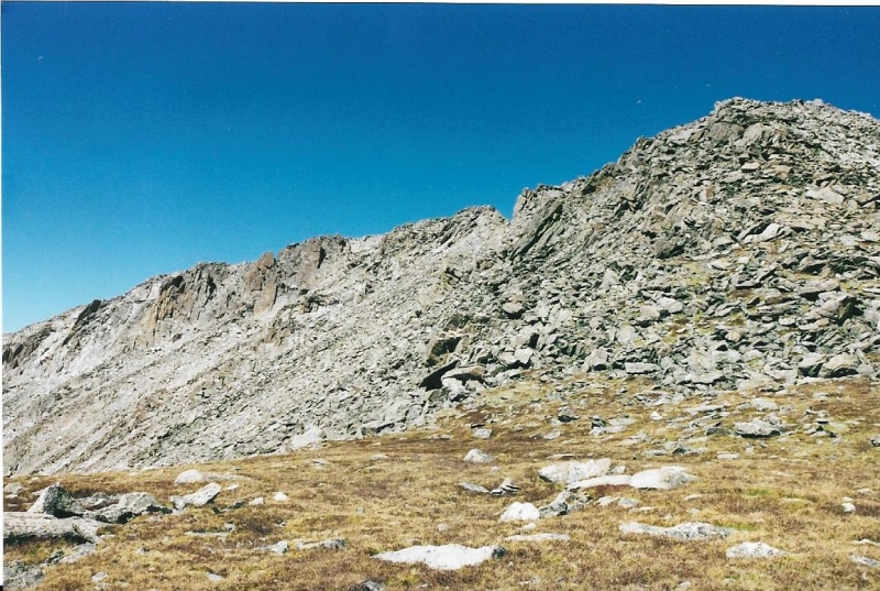
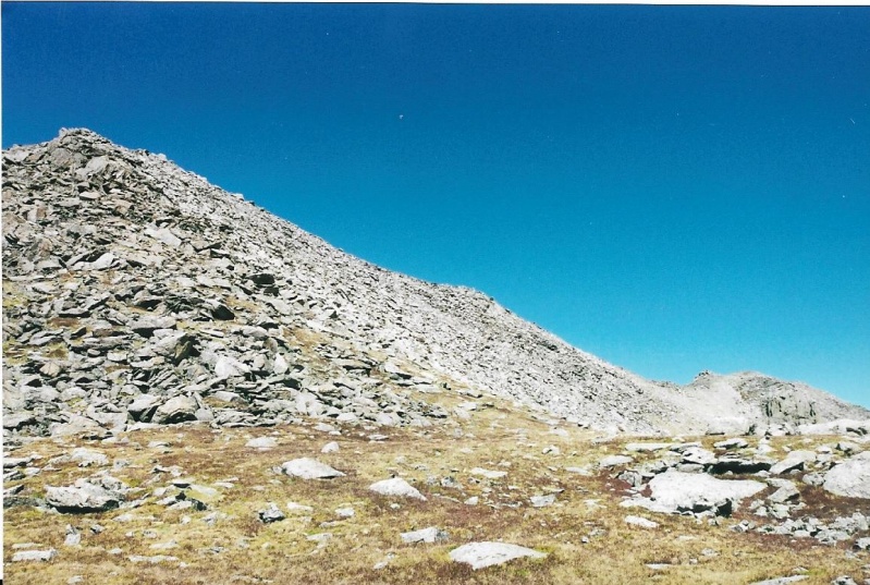
I scrambled up stable rock just to climber's right of the ridge line above the cliffs. As you climb, you get a good view of the route ahead as well. The point at which the hike ends and the climb begins is just beyond Isolation Lake. Here, you need to skirt above some cliffs and climb the ridge line of the minor pinnacle. You don’t need to climb the pinnacle to reach the peak. I didn't. I felt my day was going to be long enough just climbing Isolation. I just scambled up to the broad grassy saddle just to climber’s right (north ) of the pinnacle. From the saddle, I scrambled up a ridge line of pretty stable rock toward Isolation’s summit. 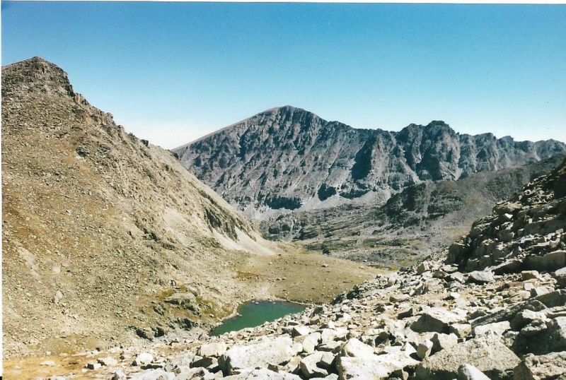
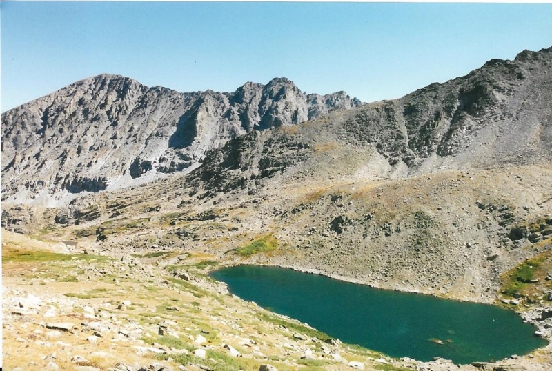
Mahana Peak's summit left. Copeland Mountain's summit in the distance, center. 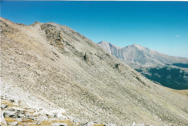
I started up that strip of good grass, then had to veer right to avoid steep rock above. 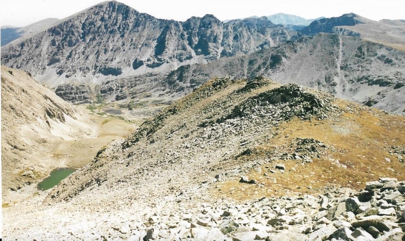
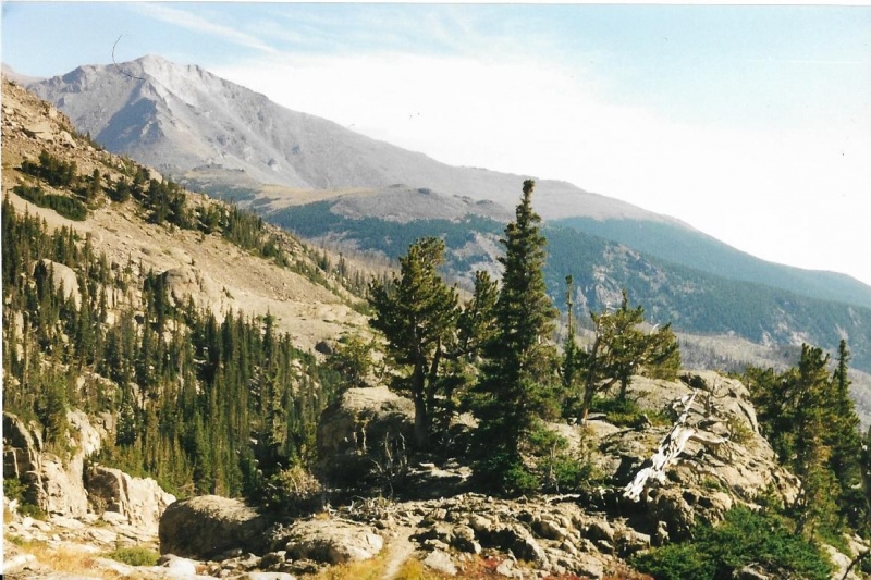
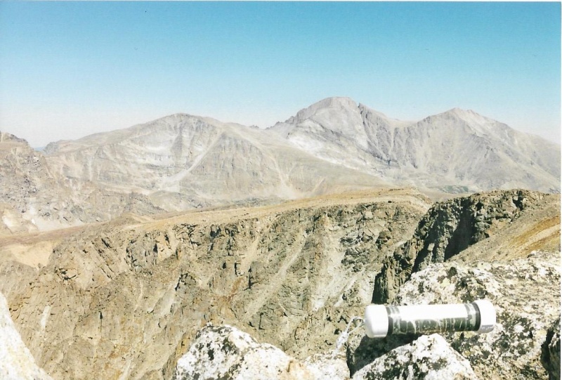
That's Ogalalla Peak, right. Note Elktooth on Ogalala's ridge line to the left. Peaks beyond Ogalalla are in Indian Peaks Wilderness. Great views! 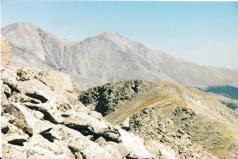
Distant vistas of Longs and Meeker Open Up. Steep here! 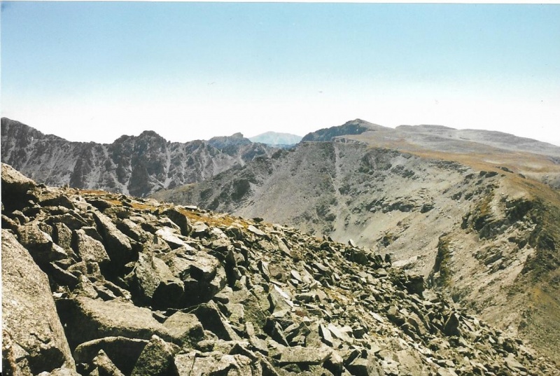
On the far right of the photo you can clearly see all the elevation you have to regain after descending Ouzel Peak (out of the picture, right) in order to attain that gradual tundra slope along the Continental Divide that leads to Ogalalla's broad summit. 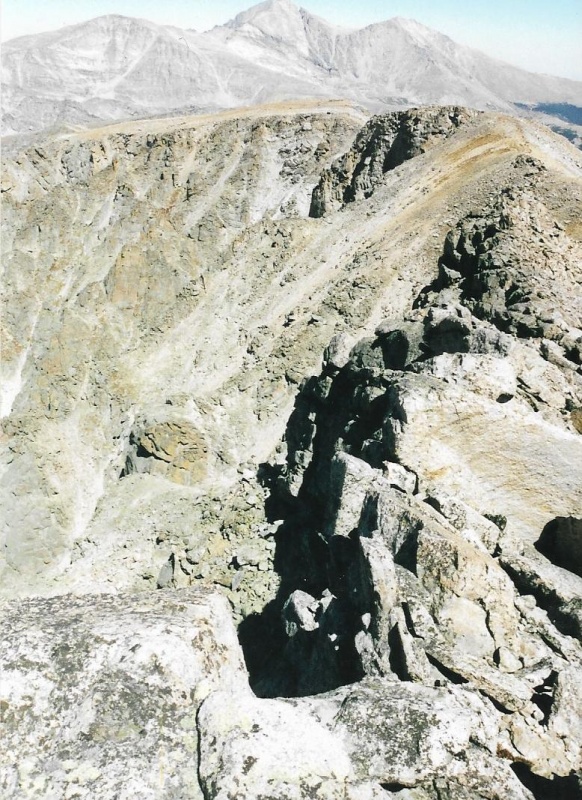
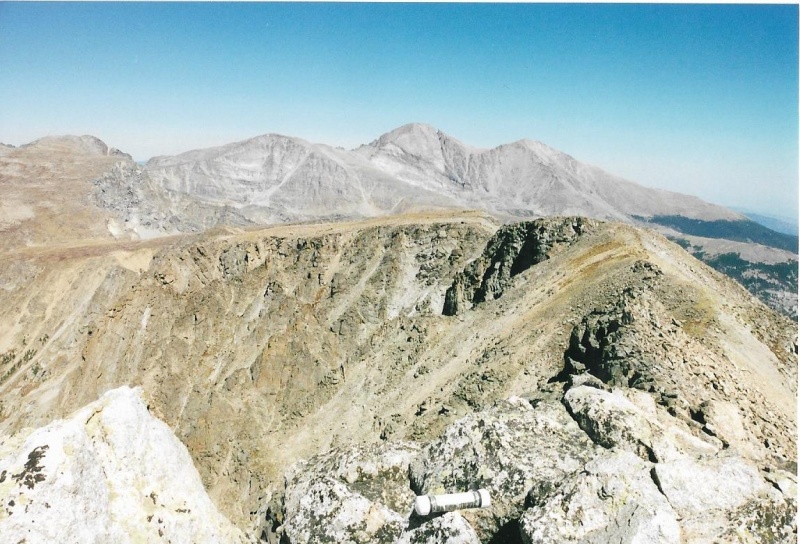
I am standing right on the Continental Divide here. Steep cliffs on the west side of the Divide. Isolation's true summit is behind me. 
On both fall days I climbed Isolation, with two years between each climb, the Indian Summer weather held cloudless and fair. You get a sense, on these brilliant fall days, that the end of climbing season is fast approaching. Climbing season always seems to begin with spring days threatening afternoon rain, and you have to keep a sharp watch for approaching storms that may bring dangerous lightning up high. You need to be willing to abort a climb, turn around, move your rain gear from the bottom to the top of your pack, or even put it on preemptively if a storm is approaching quickly. When climbing season is coming to an end, though, the days up high seem to last forever, and you don’t want them to ever end. Once I reached the summit of Isolation, both times, I understood I had a long descent over many miles ahead of me, and I couldn’t linger at the top forever, though I truly wanted to do so. So instead of lingering, I ate an energy bar, took a long drink of water, and thoroughly enjoyed the views as I ate and drank. What a place it was to be on such a day, the summit of Isolation! What a joy it can be sometimes to be alive! Then I shouldered my pack again, and headed down, reluctantly. Thumbnails for uploaded photos (click to open slideshow): ")
")
")
")
")
")
")
")
")
")
")
")
")
")
")
")
")
")
")
")
")
")
")
")
")
")
")
")
")
")
")
")
")
")
")
")
")
|
| Comments or Questions | ||||||
|---|---|---|---|---|---|---|
|
Caution: The information contained in this report may not be accurate and should not be the only resource used in preparation for your climb. Failure to have the necessary experience, physical conditioning, supplies or equipment can result in injury or death. 14ers.com and the author(s) of this report provide no warranties, either express or implied, that the information provided is accurate or reliable. By using the information provided, you agree to indemnify and hold harmless 14ers.com and the report author(s) with respect to any claims and demands against them, including any attorney fees and expenses. Please read the 14ers.com Safety and Disclaimer pages for more information.
Please respect private property: 14ers.com supports the rights of private landowners to determine how and by whom their land will be used. In Colorado, it is your responsibility to determine if land is private and to obtain the appropriate permission before entering the property.


