Download Agreement, Release, and Acknowledgement of Risk:
You (the person requesting this file download) fully understand mountain climbing ("Activity") involves risks and dangers of serious bodily injury, including permanent disability, paralysis, and death ("Risks") and you fully accept and assume all such risks and all responsibility for losses, costs, and damages you incur as a result of your participation in this Activity.
You acknowledge that information in the file you have chosen to download may not be accurate and may contain errors. You agree to assume all risks when using this information and agree to release and discharge 14ers.com, 14ers Inc. and the author(s) of such information (collectively, the "Released Parties").
You hereby discharge the Released Parties from all damages, actions, claims and liabilities of any nature, specifically including, but not limited to, damages, actions, claims and liabilities arising from or related to the negligence of the Released Parties. You further agree to indemnify, hold harmless and defend 14ers.com, 14ers Inc. and each of the other Released Parties from and against any loss, damage, liability and expense, including costs and attorney fees, incurred by 14ers.com, 14ers Inc. or any of the other Released Parties as a result of you using information provided on the 14ers.com or 14ers Inc. websites.
You have read this agreement, fully understand its terms and intend it to be a complete and unconditional release of all liability to the greatest extent allowed by law and agree that if any portion of this agreement is held to be invalid the balance, notwithstanding, shall continue in full force and effect.
By clicking "OK" you agree to these terms. If you DO NOT agree, click "Cancel"...
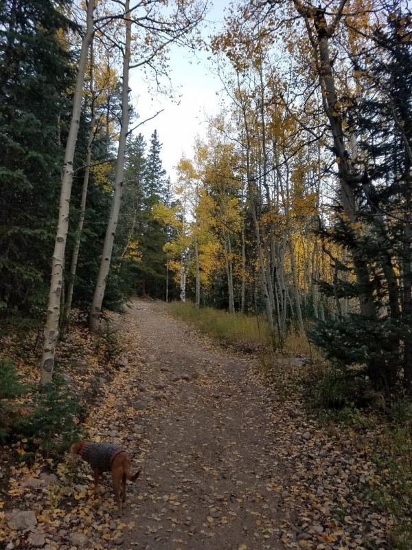
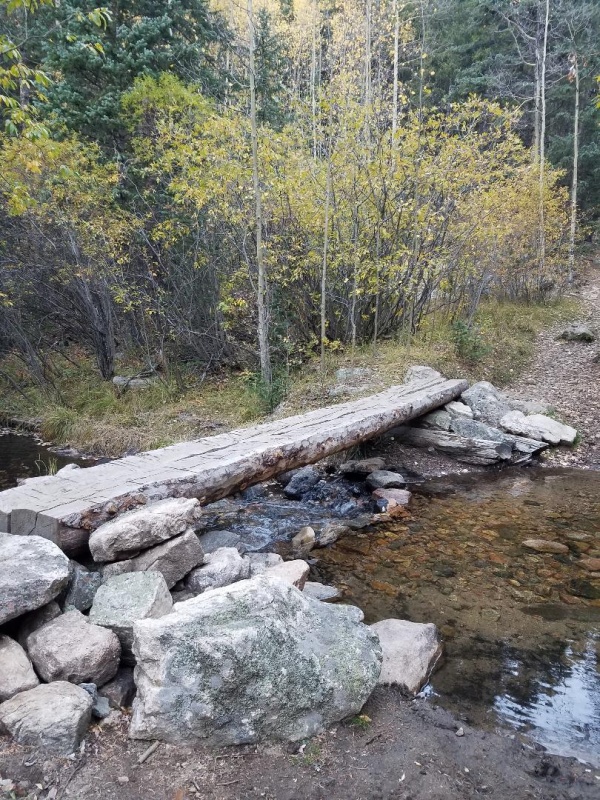
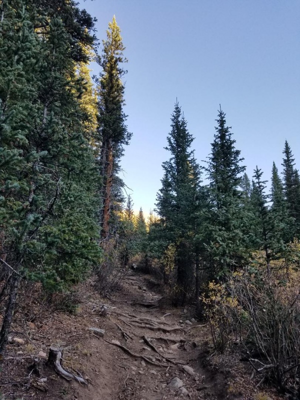
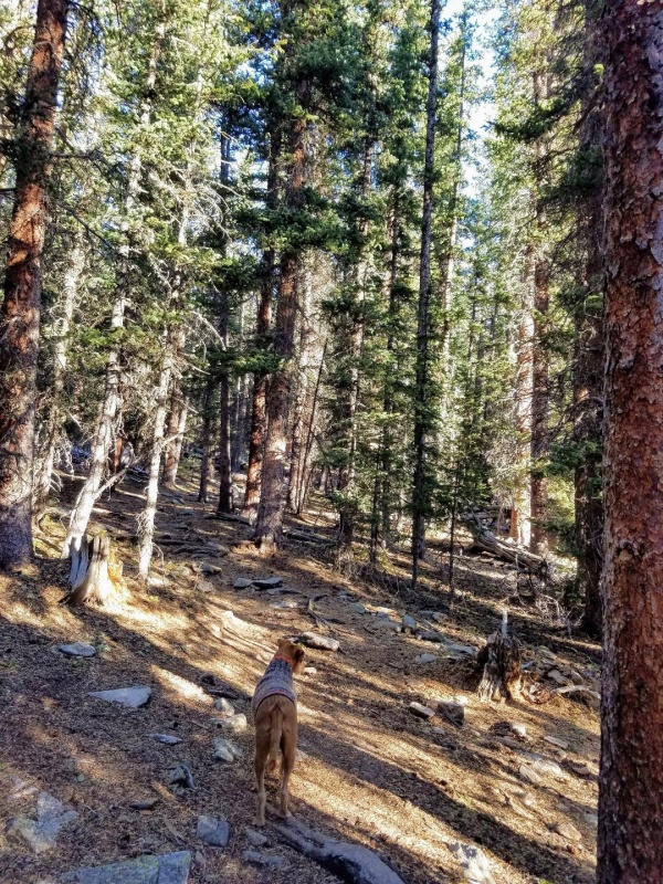
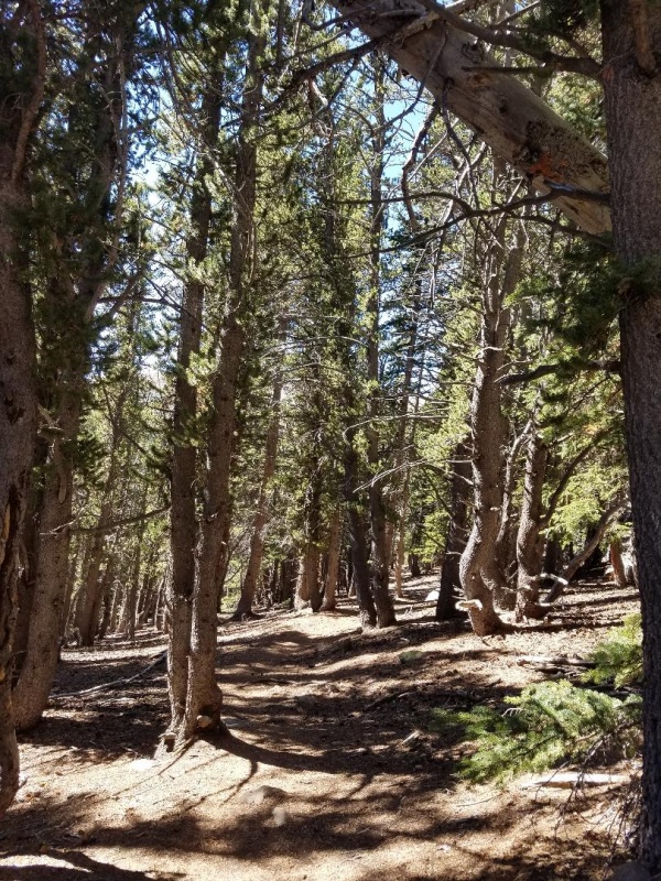
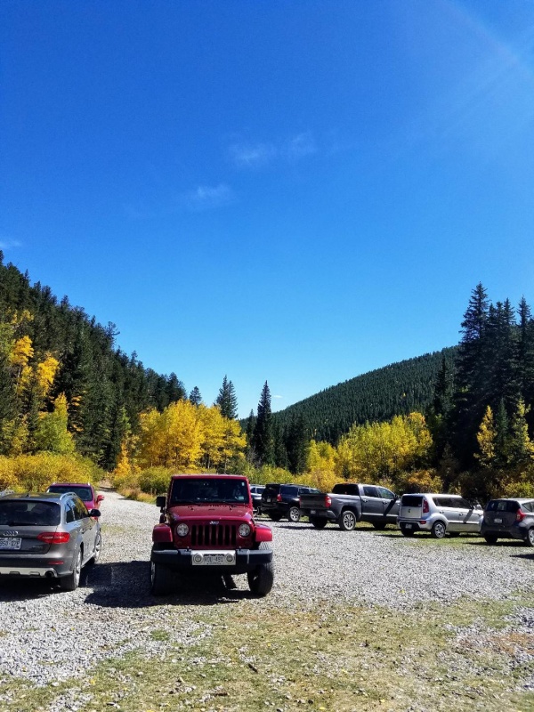
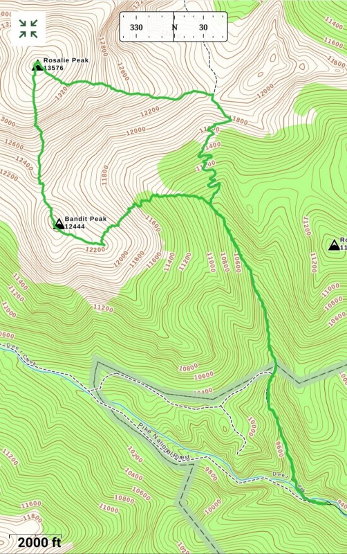
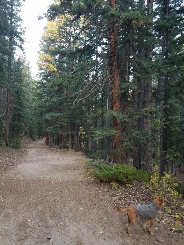
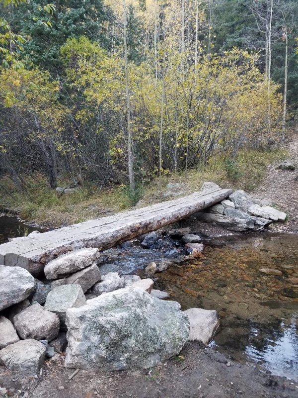
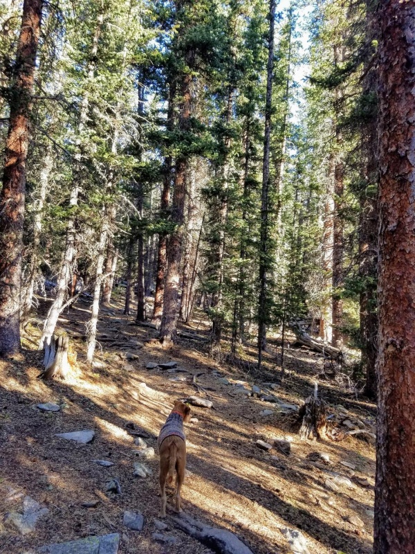
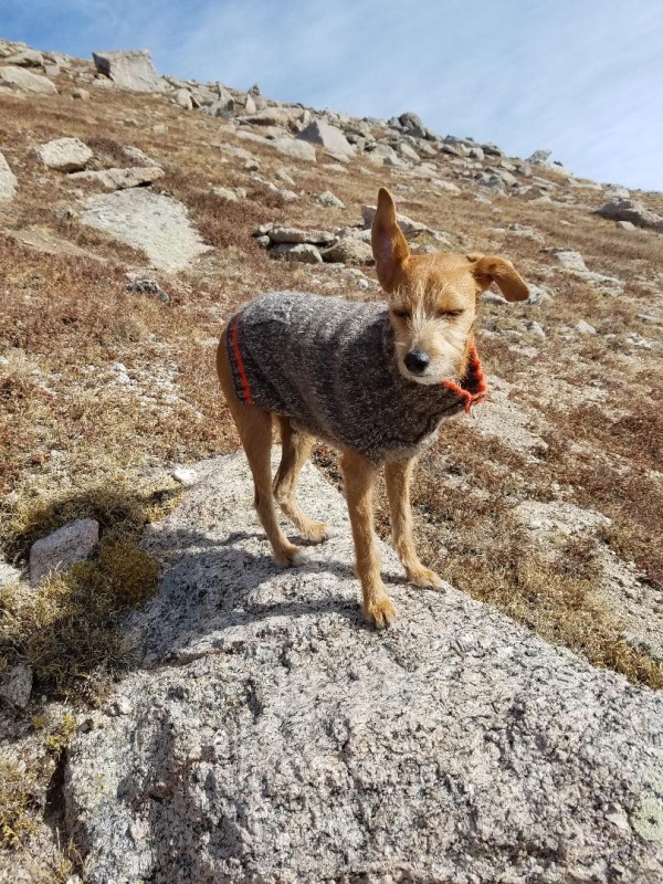
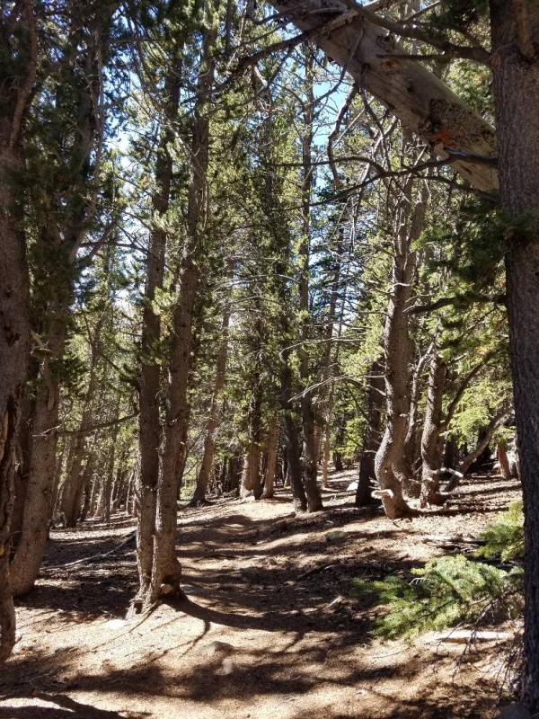
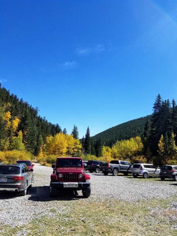
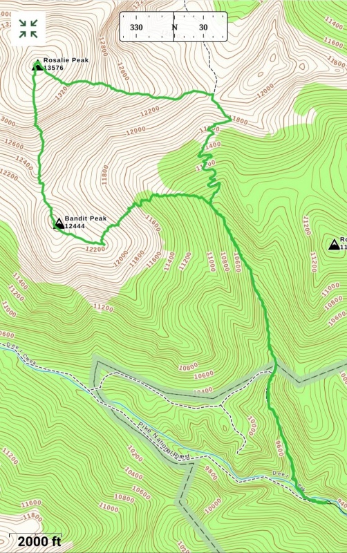
I wanted something that was dog friendly and not too far from home. 13er Rosalie Peak near Mt Evans fit the bill perfectly. To spice it up I used the 12er rule, and decided to climb Bandit Peak as part of the route too. I arrived at the Deer Creek TH to a large empty parking area about sunrise. After quickly getting ready I started up the Tanglewood Trail which would take me to the saddle between Rosalie and West Pegmatite Points. There was dense forest on both sides with several stream crossings over nice foot bridges.
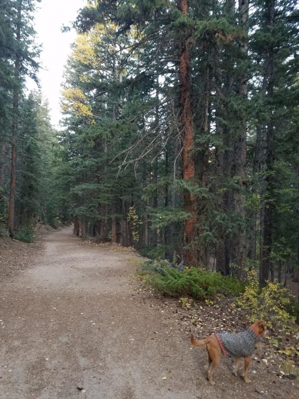
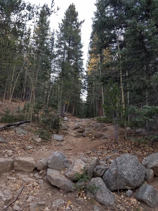
Tanglewood Trail
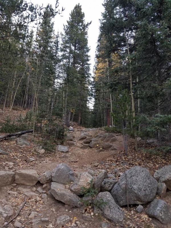
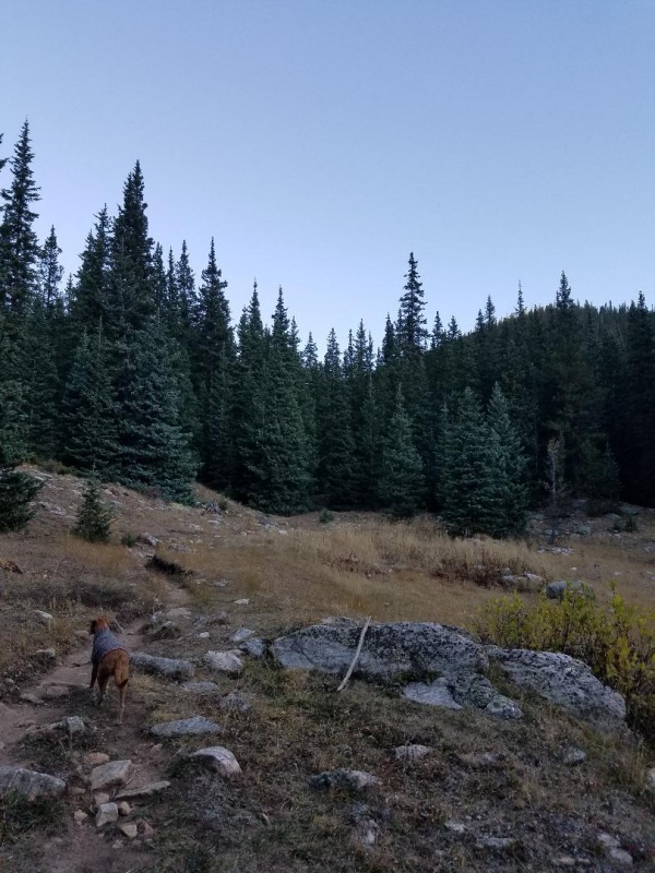
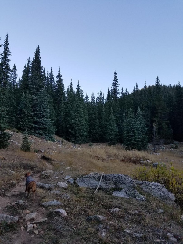
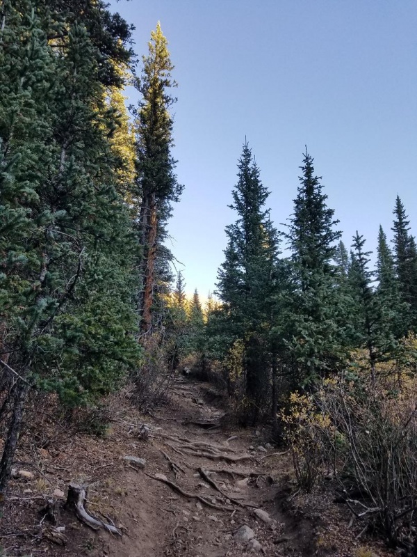
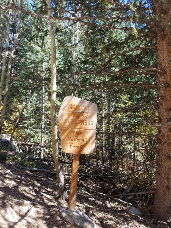
The trail remained heavily wooded, and slowly became more rugged and narrowed as we passed into the Mt Evans Wilderness area. At 1.1 miles we came to the Rosalie trail junction. You do not want to take this, and we stayed straight on the Tanglewood Trail. We passed through several clearings along the way and eventually lost track of the trail at about 10,800 feet in another dense forest area.
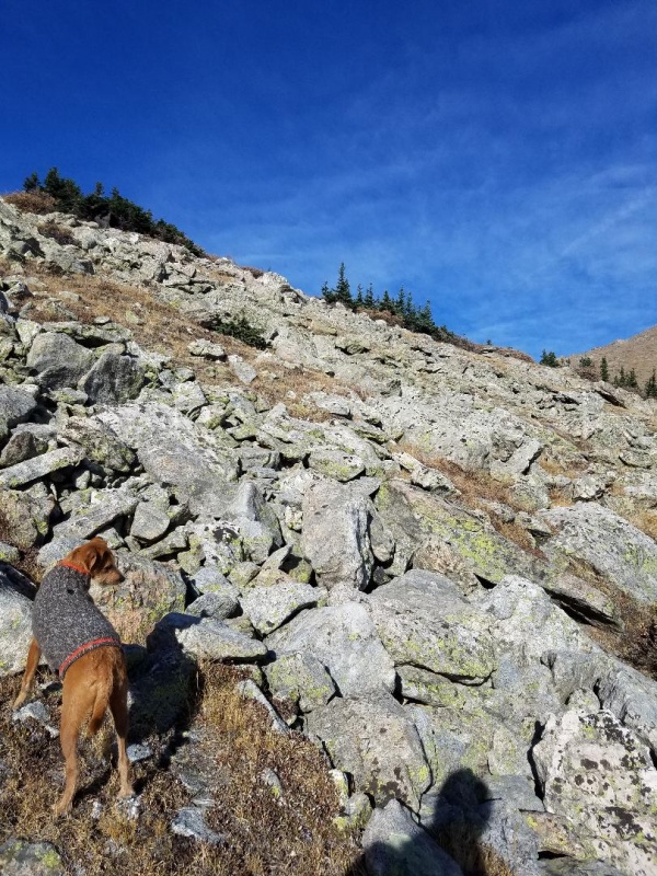
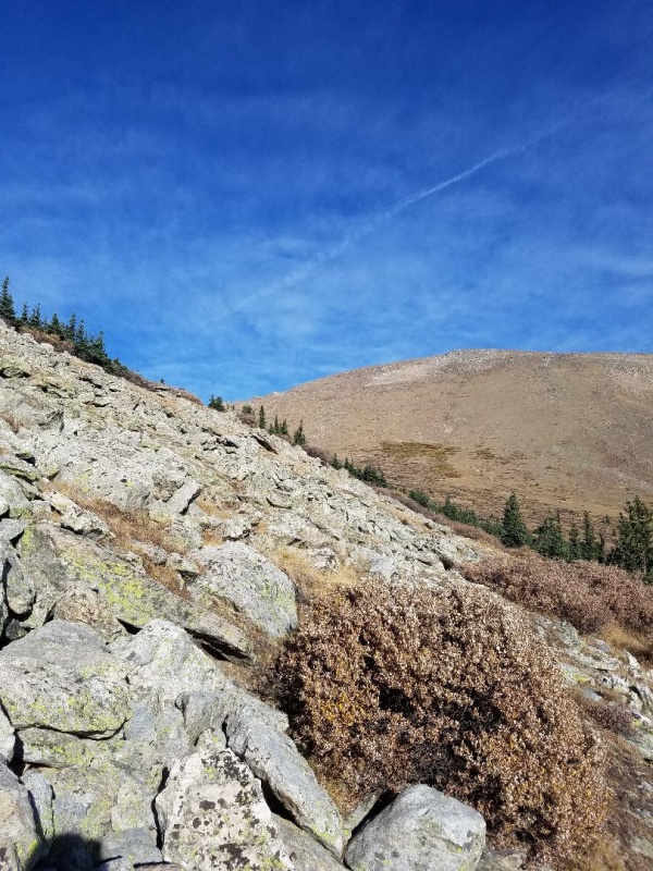
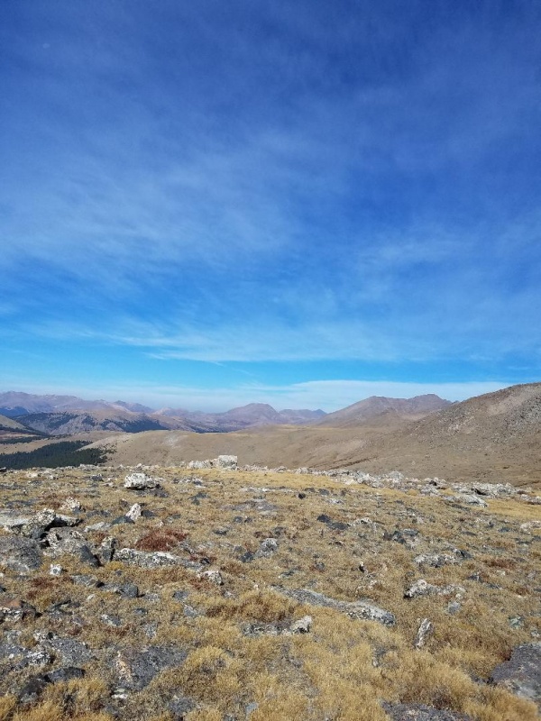
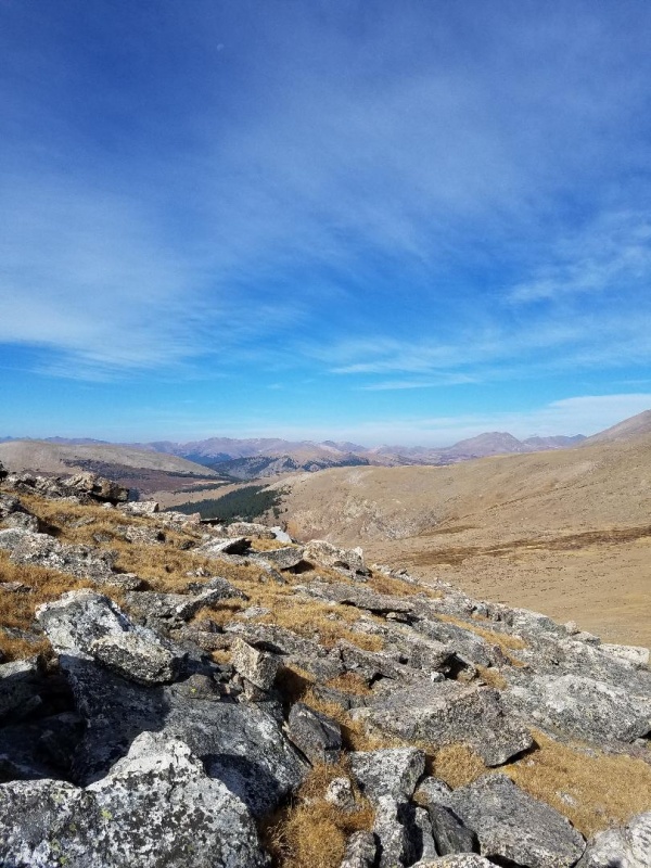
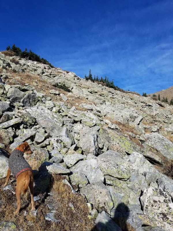
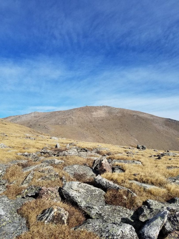
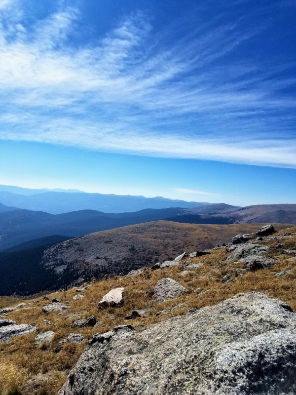
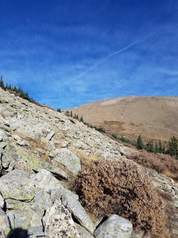
Instead of backtracking to find the trail, and since I knew we were on the eastern slopes of Bandit Peak, I decided to improvise and headed west up Bandit. I would do the lollipop loop in reverse order. We quickly climbed out of the trees into a boulder field and saw Rosalie for the first time.
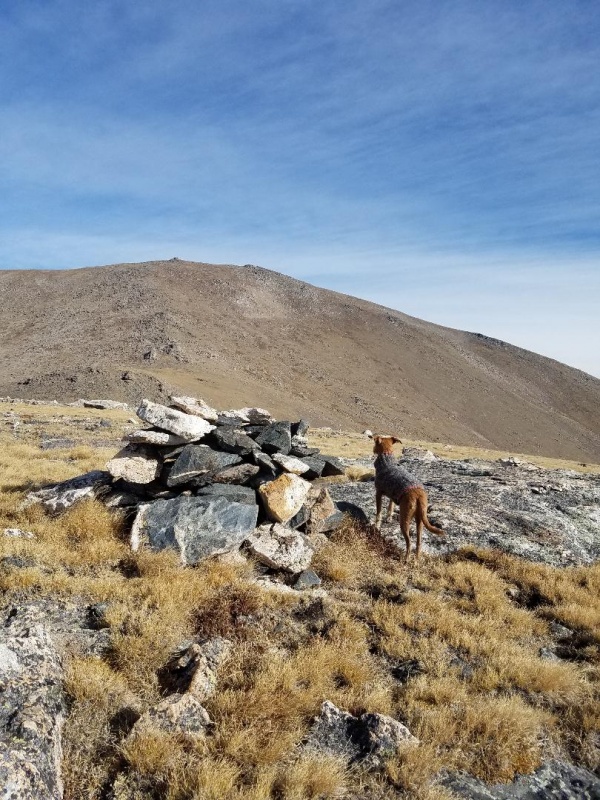
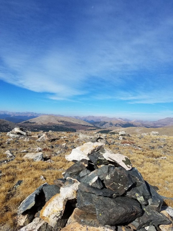
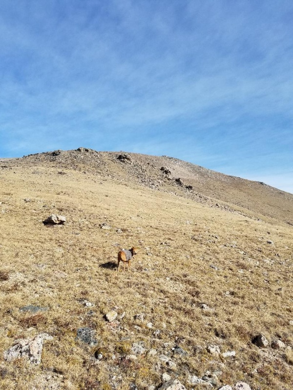
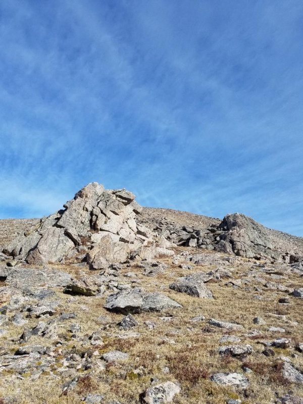
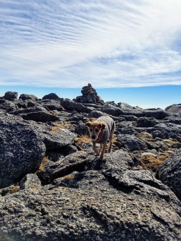
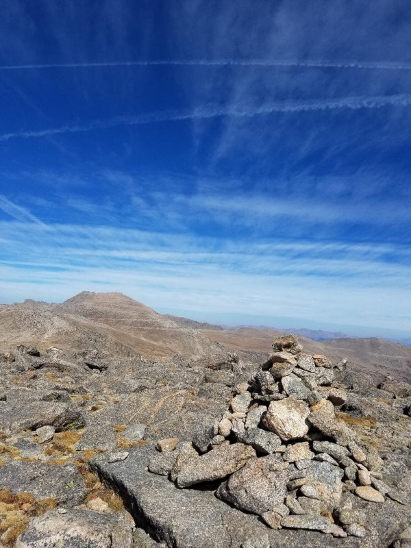
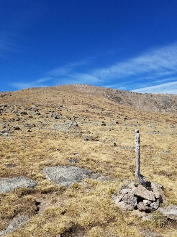
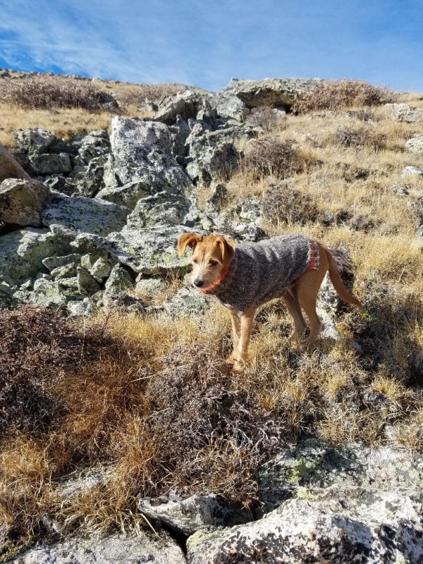
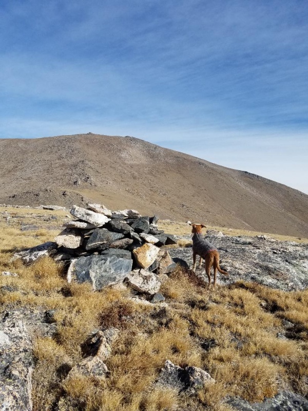
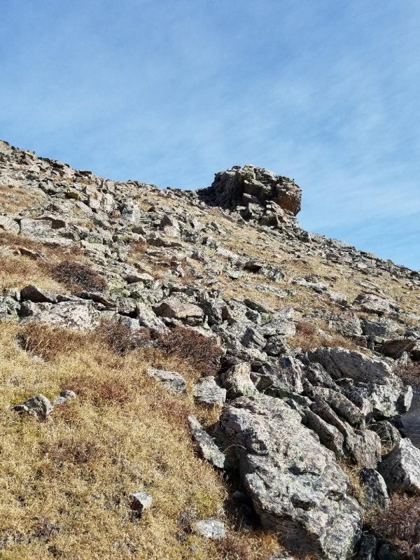
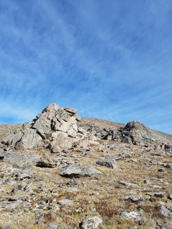
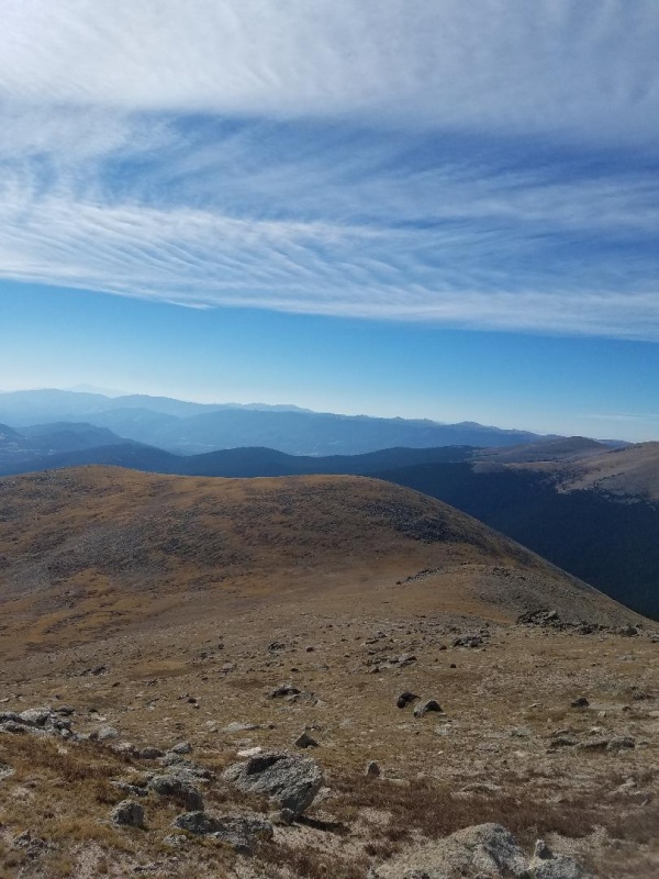
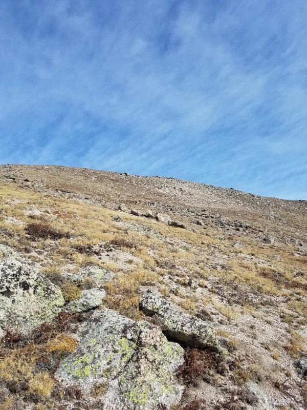
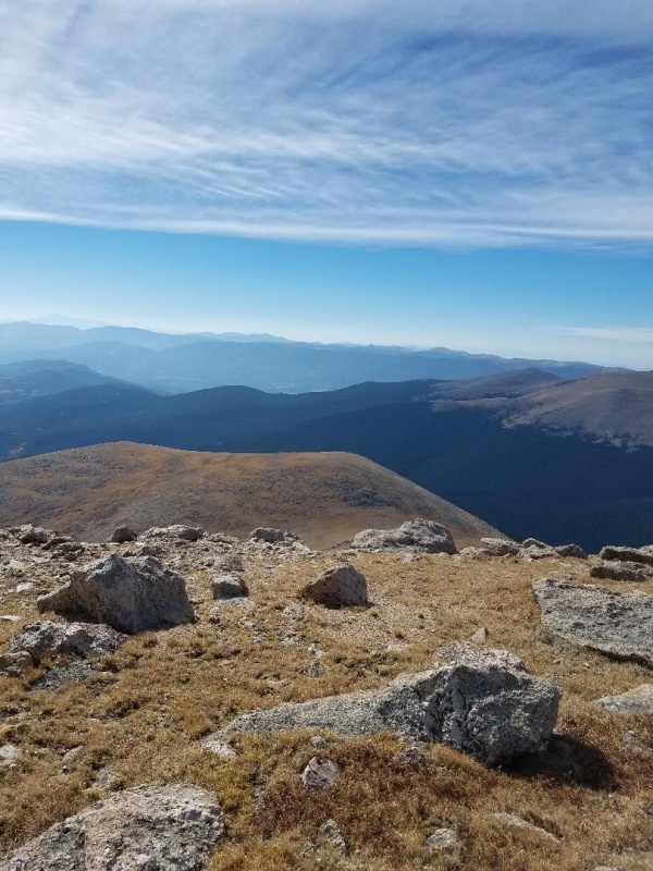
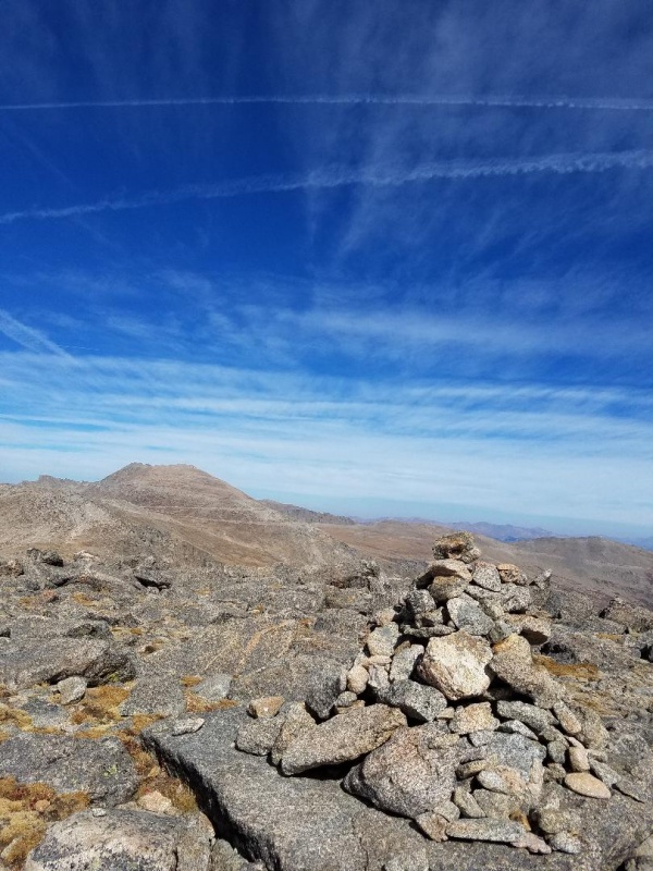
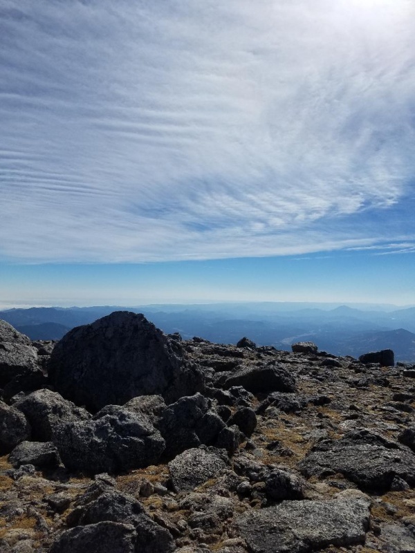
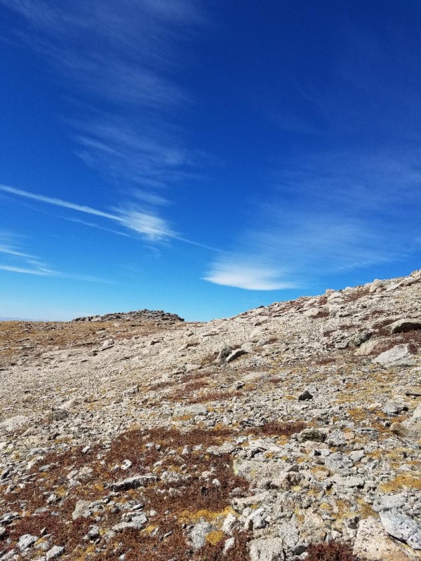
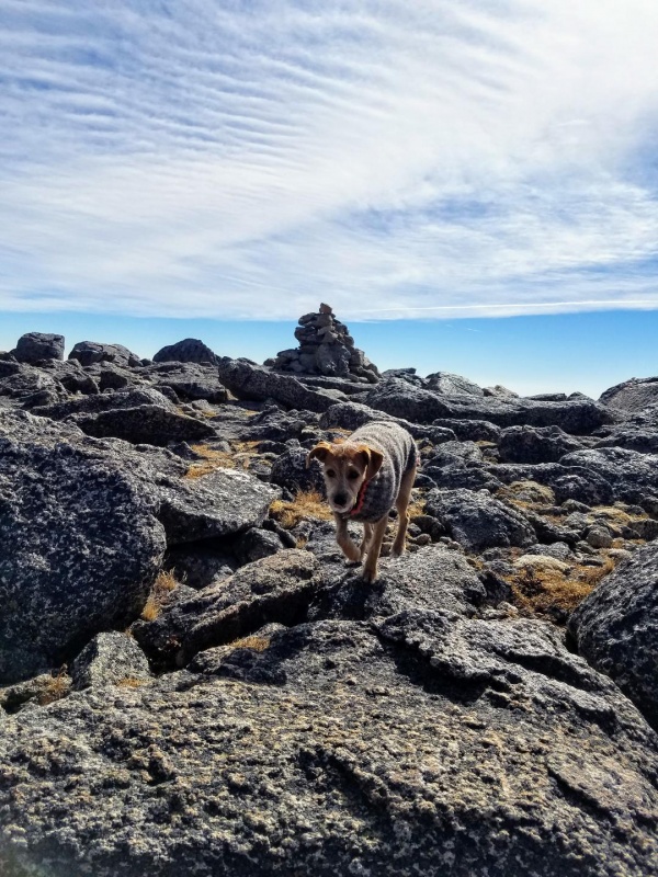
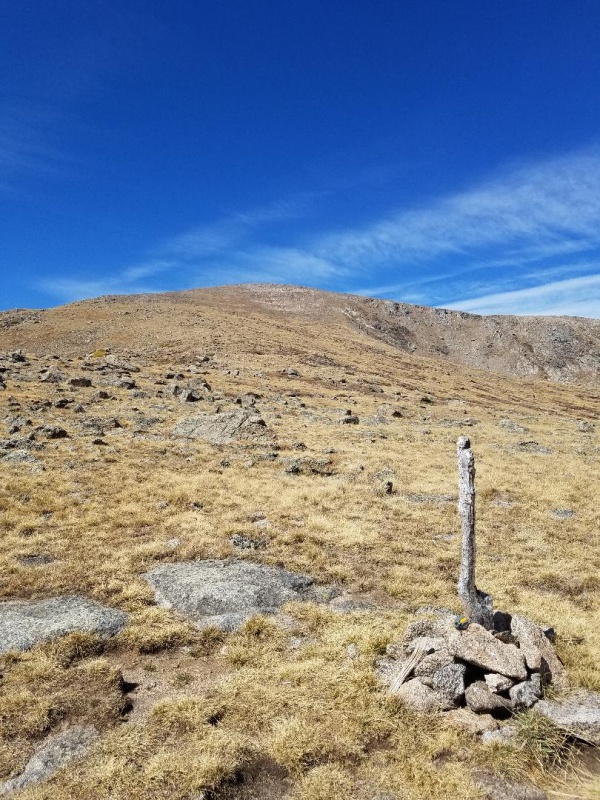
Luckily there were grassy areas interspersed within boulder field so it was easy to negotiate. After climbing several false summits we came out on a gentle grassy slope which led to a large summit area with rock piles scattered around. There was a large cairn marking the summit and I did not see a registry tube.
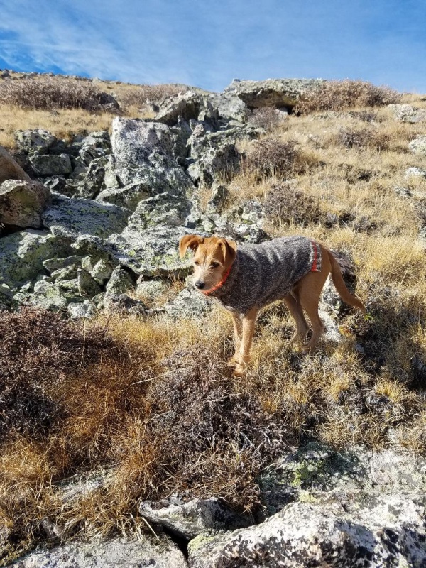
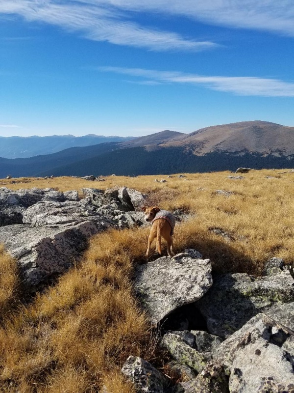
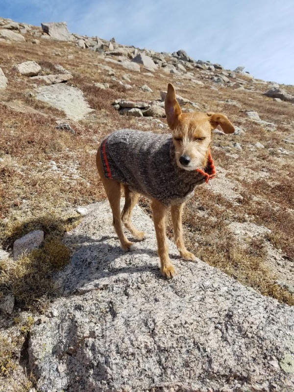
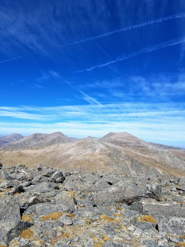
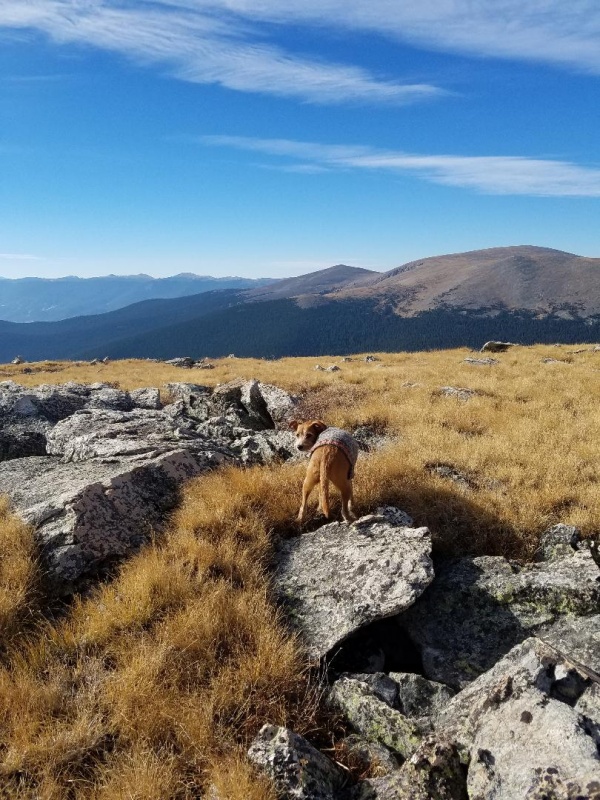
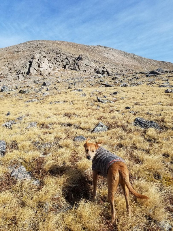
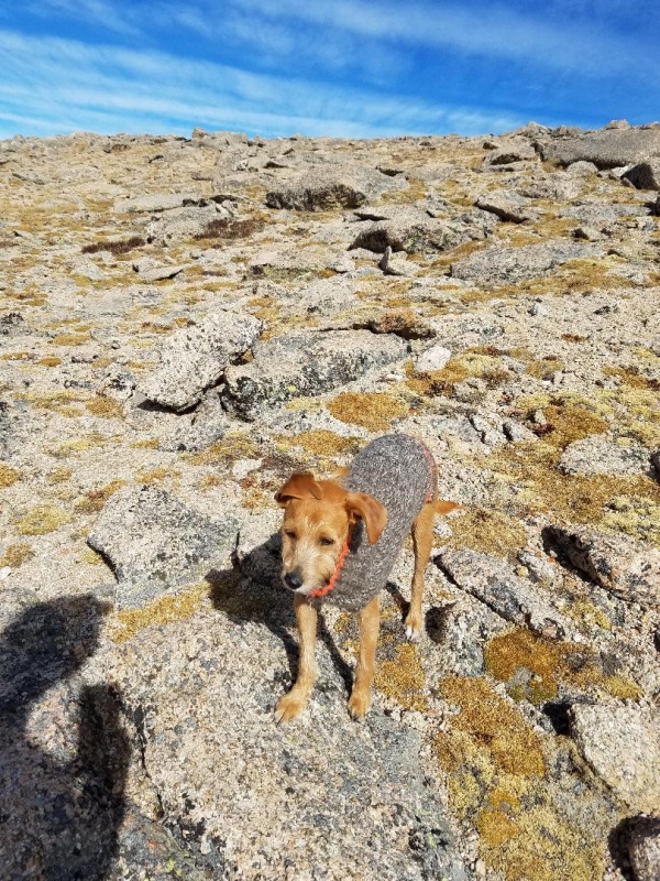
Nearing summitLeo checking out Rosalie PeakLooks like Square Top in center and Bierstadt to the right.Kataka left center
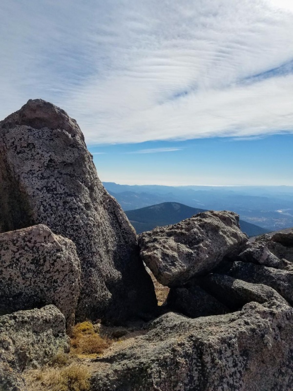
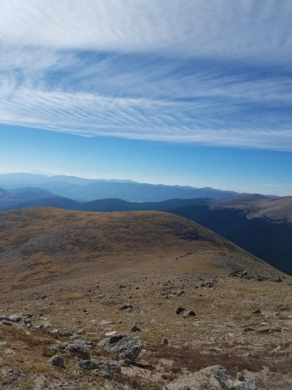
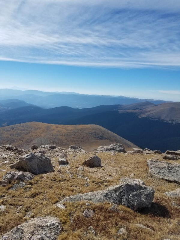
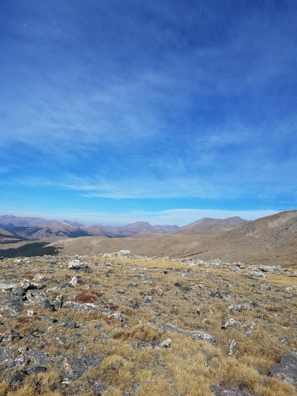
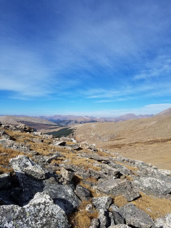
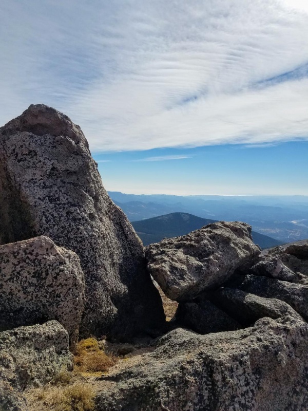
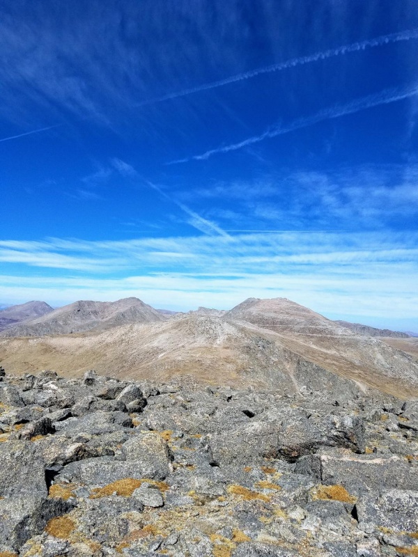
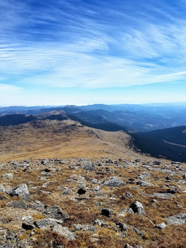
The spacious summit had nice views all around, and oddly, to the south across the valley there was another peak named Bandit.
Parent Peak in middle and the other Bandit Peak on right
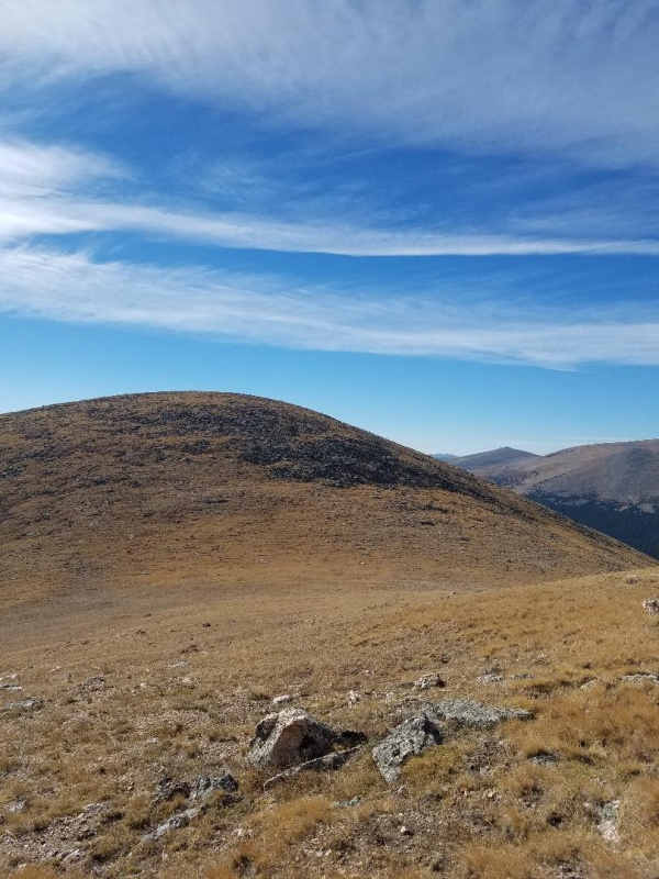
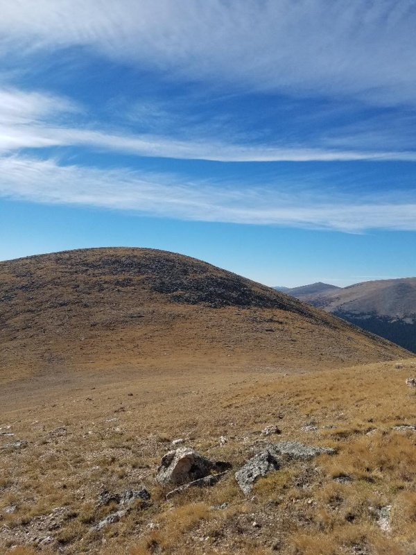
From here we walked directly north towards Rosalie across Bandits mostly grassy summit. As we descended to the saddle it became rockier but still easy to negotiate.
Rosalie PeakApproaching saddle
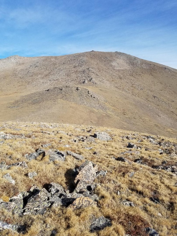
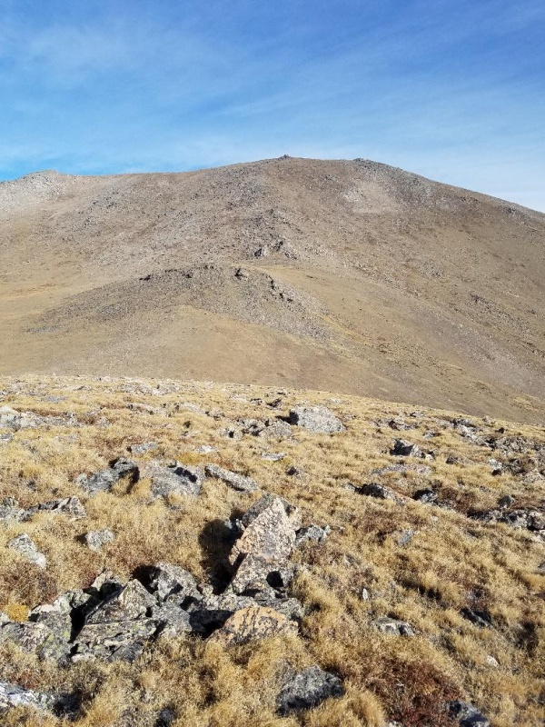
The descent was short and the saddle small, so before not too long we were headed up the steep slopes of Rosalie with the false summit in view. We needed to go about 1300 vertical feet to reach the summit.
False summitLooking back at Bandit and the small saddle
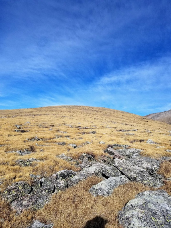
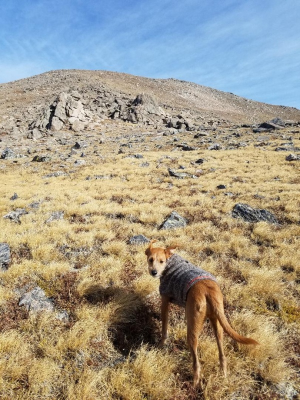
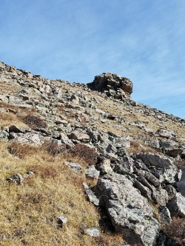
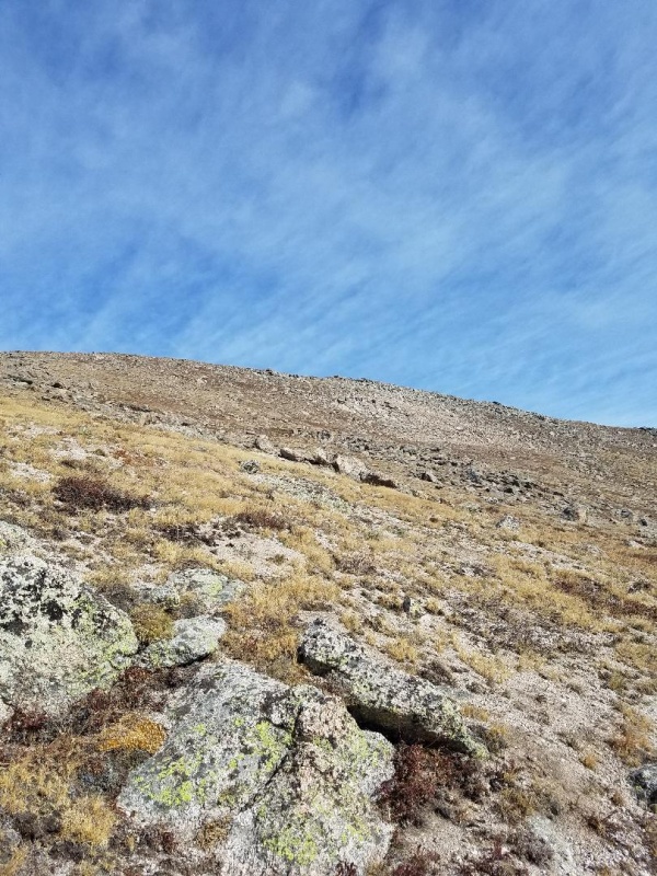
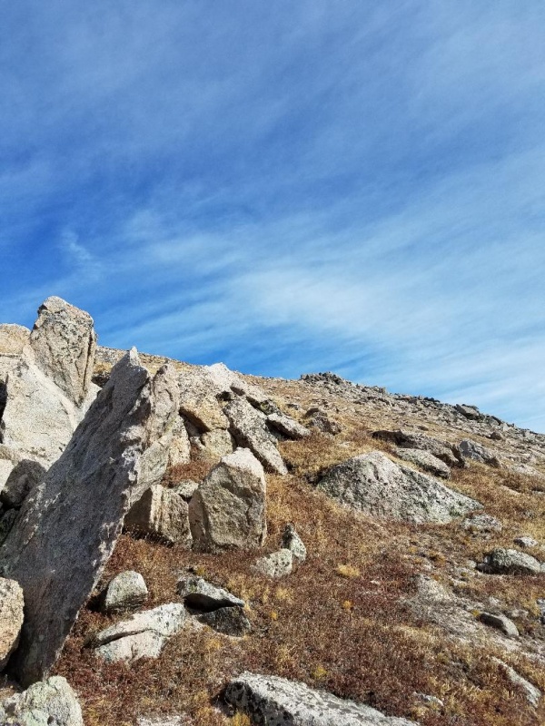
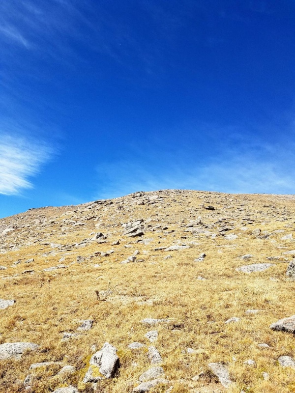
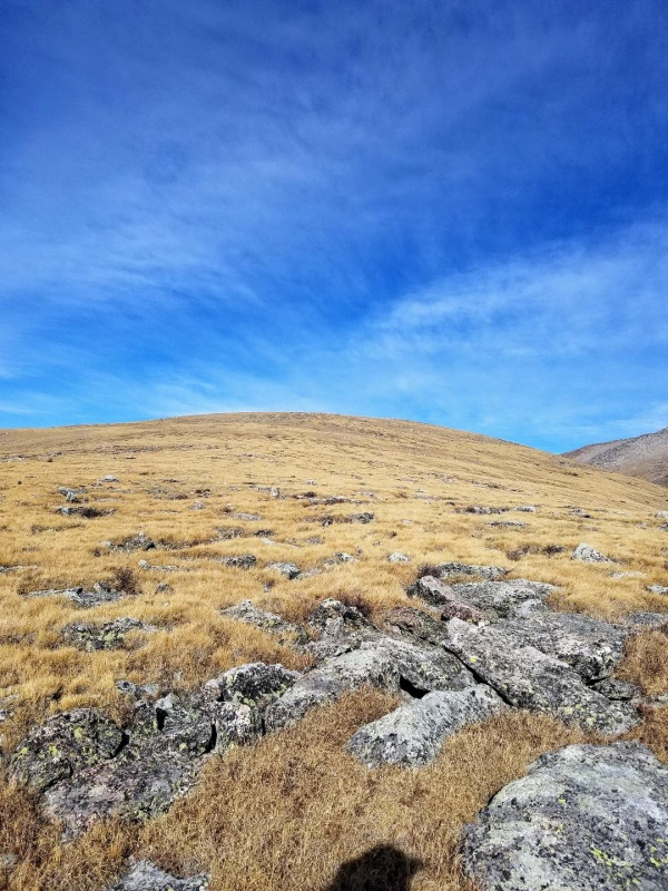
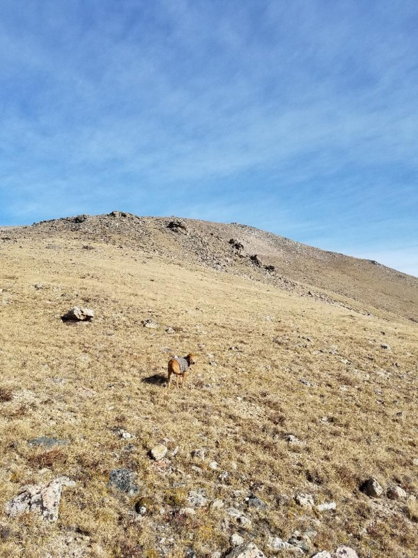
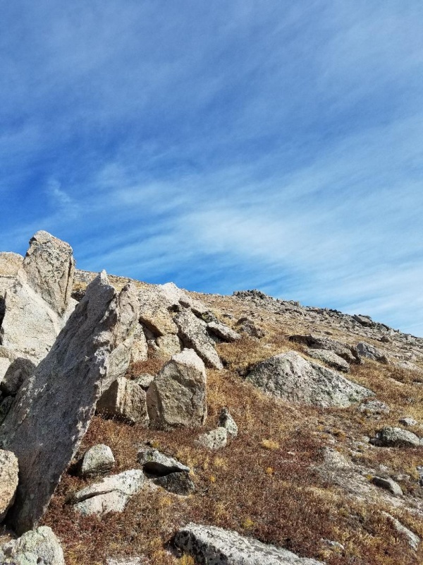
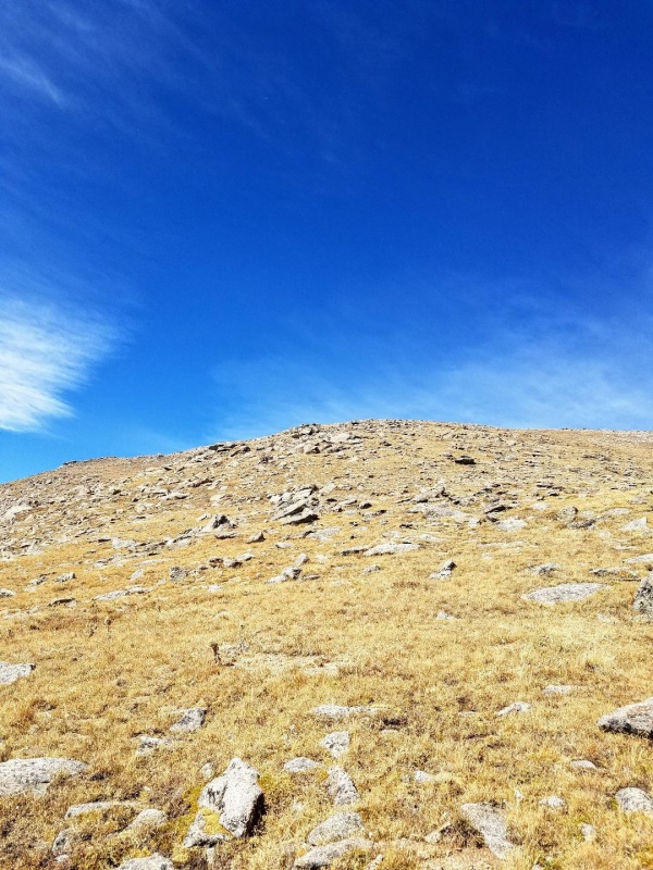
Most of the ascent was on grassy slopes with scattered boulders and occasional large rocky outcroppings. The wind really began to pick up here too.
Another look back at BanditGetting closerLast pitch before summit
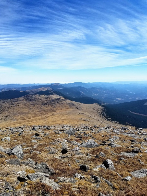
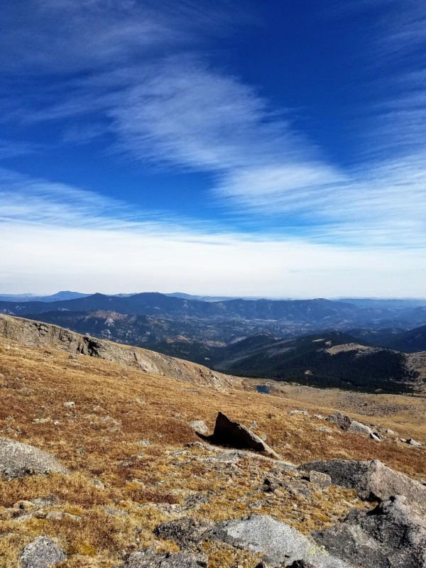
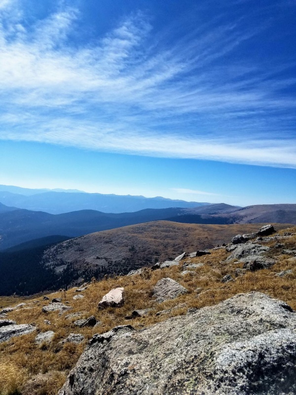
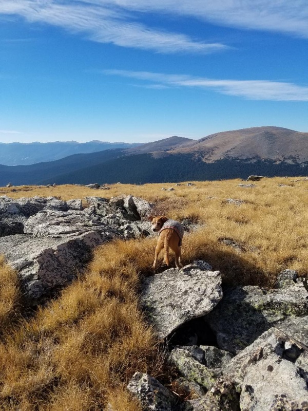
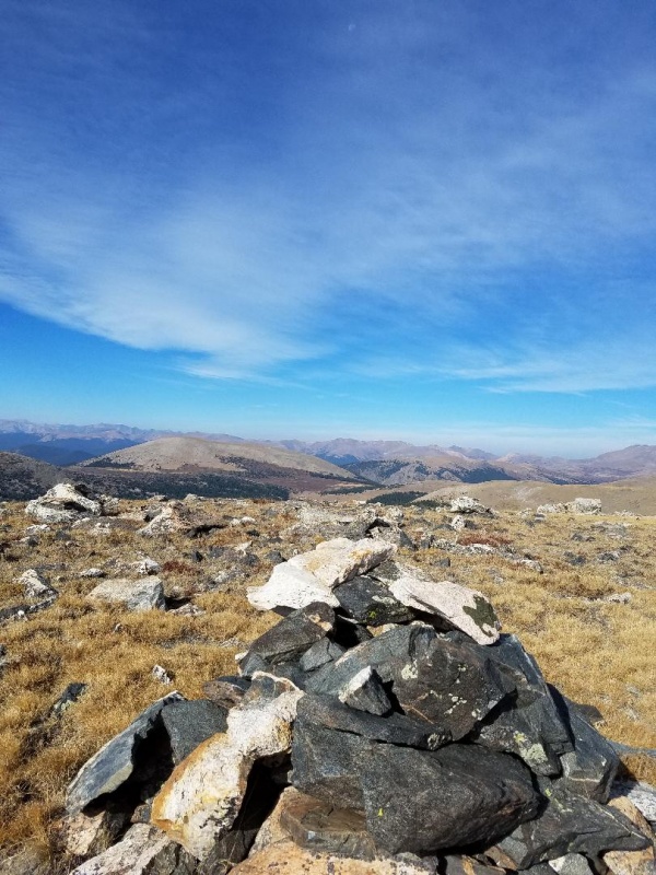
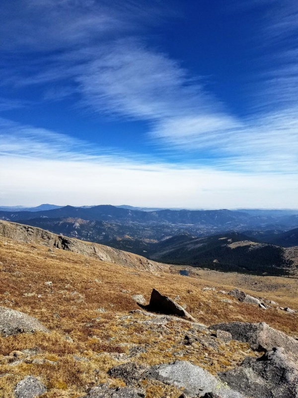
The summit area was very large with the same grassy tundra interspersed with rocks and boulders along with a large cairn. The views of Bierstadt and Evans were fantastic!
Bandit againMt Evans and the Evans roadFrom left to right, Square Top, Bierstadt, Sawtooth and Evans. Epaulet Mountain in front.
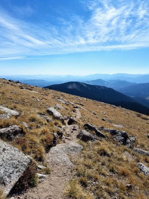
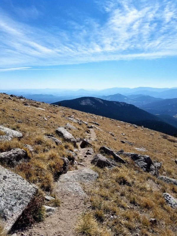
Because of the winds our stay at the summit was brief. We then headed directly east towards the Rosalie-West Pegmatite saddle where we could pick up the tanglewood trail for the return to the trailhead and my truck. It was an easy moderate slope all the way to saddle.
One of the Roosevelt LakesBandit yet againLooking back up Rosalie
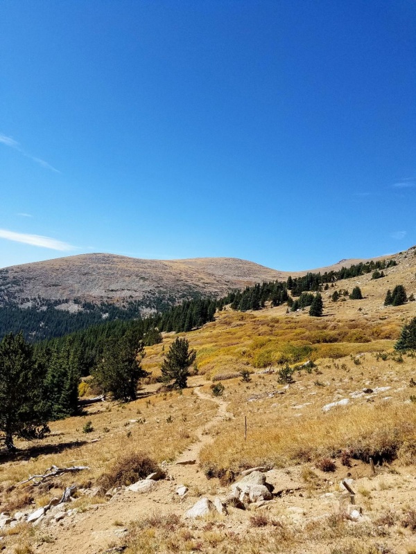
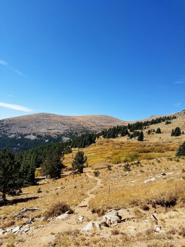
We quickly made the Tanglewood Trail and started our decent down the single track into the valley. It was here we saw other hikers for the first time and we would pass many more on the way down. This is a popular trail to reach The Roosevelt Lakes. I don't think too many head up to Rosalie.
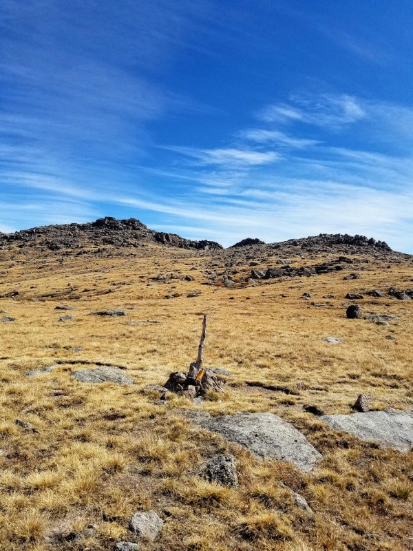
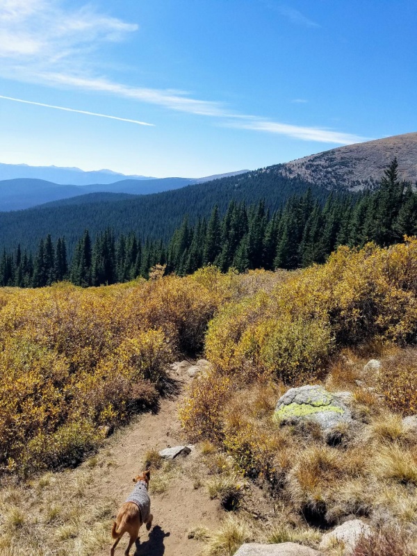
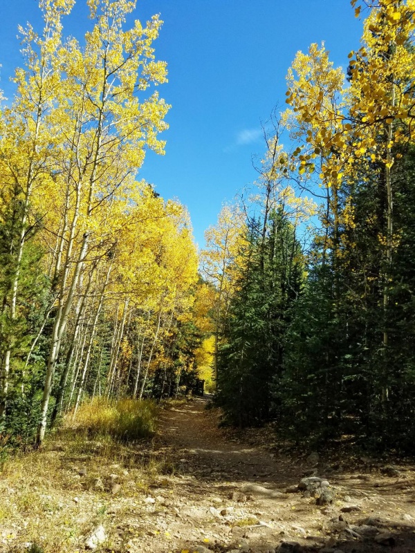
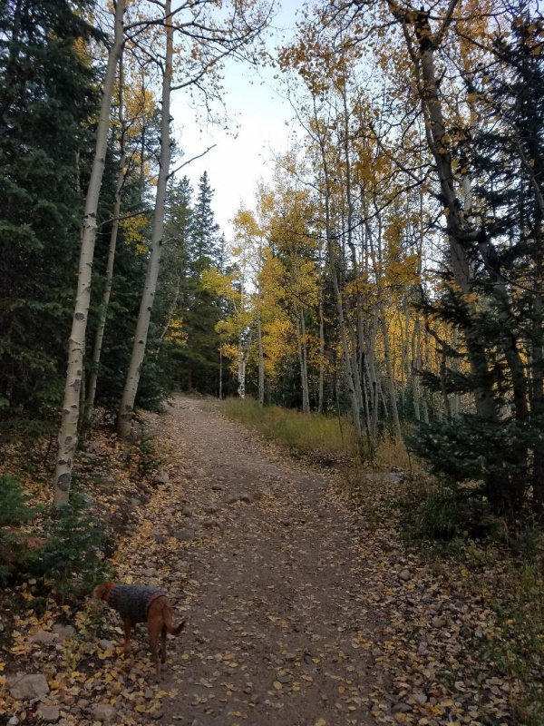
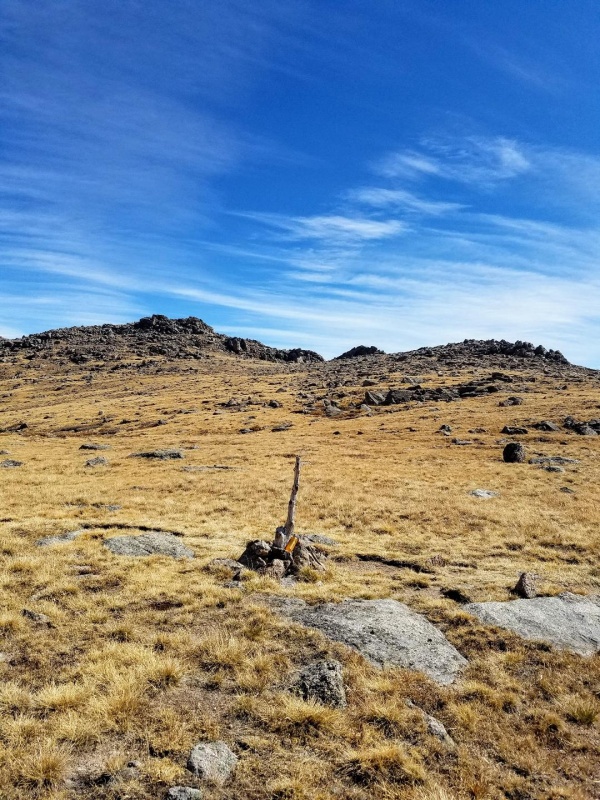
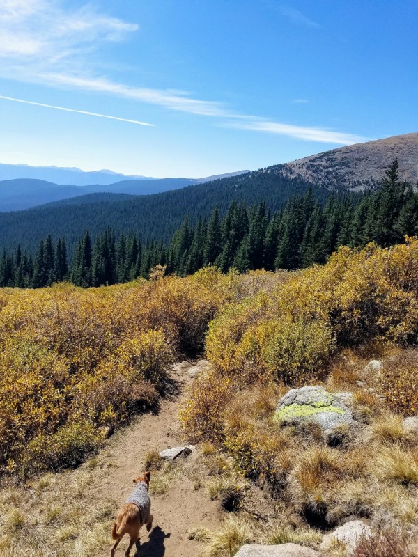
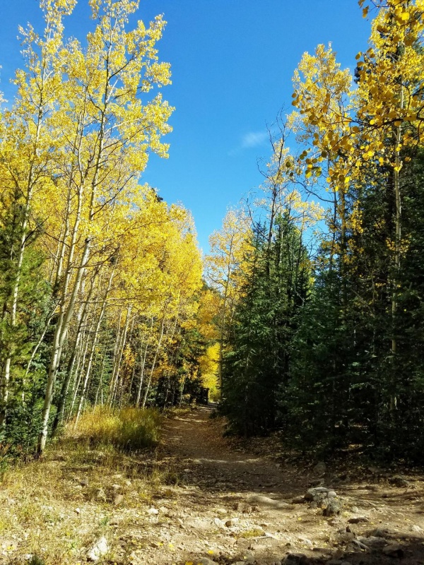
Cairn marking Tanglewood TrailLooking back at RosalieRoyal Mountain straight aheadBandit and the rocky slope on the left we ascendedShort section of willowsBack in the woodsFall colors as we approach the THAlmost full parking lot
We ended up hiking 11.56 miles in 5 hours and 15 minutes with 4451 vertical feet gained.
Thumbnails for uploaded photos (click to open slideshow):
I don't like your trip report at all, mainly because it was well done with good pictures. I hike this peak a couple times a year and rarely see anyone else after leaving tree line. I am afraid your trip report will help fill up the parking lot.
This hike is also in the Mt. Evans wilderness and dogs are not allowed off leash.
In all seriousness, great job and great trip report, thank you for posting.
Thanks for the memories CS...Bandit was the first Peak me and my new bride went up upon moving here in 1978. We spent 3 days backpacking the MEW and back then we had everything to ourselves!
Caution: The information contained in this report may not be accurate and should not be the only resource used in preparation for your climb. Failure to have the necessary experience, physical conditioning, supplies or equipment can result in injury or death. 14ers.com and the author(s) of this report provide no warranties, either express or implied, that the information provided is accurate or reliable. By using the information provided, you agree to indemnify and hold harmless 14ers.com and the report author(s) with respect to any claims and demands against them, including any attorney fees and expenses. Please read the 14ers.com Safety and Disclaimer pages for more information.
Copyright: Route information, text, risk factors, maps, GPX files, charts, photos, 14ers.com-created map imagery, flythroughs, and other content provided in this route description are copyrighted by 14ers.com and may not be copied, reproduced, republished, distributed, modified, or used to create derivative works without prior written permission.
Please respect private property: 14ers.com supports the rights of private landowners to determine how and by whom their land will be used. In Colorado, it is your responsibility to determine if land is private and to obtain the appropriate permission before entering the property.