Download Agreement, Release, and Acknowledgement of Risk:
You (the person requesting this file download) fully understand mountain climbing ("Activity") involves risks and dangers of serious bodily injury, including permanent disability, paralysis, and death ("Risks") and you fully accept and assume all such risks and all responsibility for losses, costs, and damages you incur as a result of your participation in this Activity.
You acknowledge that information in the file you have chosen to download may not be accurate and may contain errors. You agree to assume all risks when using this information and agree to release and discharge 14ers.com, 14ers Inc. and the author(s) of such information (collectively, the "Released Parties").
You hereby discharge the Released Parties from all damages, actions, claims and liabilities of any nature, specifically including, but not limited to, damages, actions, claims and liabilities arising from or related to the negligence of the Released Parties. You further agree to indemnify, hold harmless and defend 14ers.com, 14ers Inc. and each of the other Released Parties from and against any loss, damage, liability and expense, including costs and attorney fees, incurred by 14ers.com, 14ers Inc. or any of the other Released Parties as a result of you using information provided on the 14ers.com or 14ers Inc. websites.
You have read this agreement, fully understand its terms and intend it to be a complete and unconditional release of all liability to the greatest extent allowed by law and agree that if any portion of this agreement is held to be invalid the balance, notwithstanding, shall continue in full force and effect.
By clicking "OK" you agree to these terms. If you DO NOT agree, click "Cancel"...
An Unusually Rainy and Cloudy Ascent in Albuquerque.
I was only able to head to the high country once back in July with my son for an ascent of Mt. Massive. It was a blast and I have had the bug all year, wanting to do another significant hike before I have to call it over for the season. My wife and I had planned a trip to Albuquerque to visit her sister, sister's husband and our new nephew in late October. Once we had a date set for the trip I started researching Sandia Crest as a possibility for a good hike if time allowed. Sure enough, my brother-in-law was up for it also, he has hiked around the mountain, but not to the top yet.
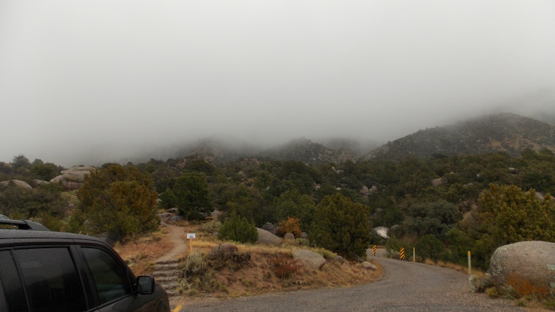
He picked Wednesday to do the hike, that gave my wife, my daughter and I a day and a half to chill with the family, hang out with our new nephew and relax. We arrived Monday afternoon, Oct. 22nd to a beautiful Autumn day, low to mid-60s, sunny and a light breeze. Then, right around 5 pm that evening it clouded up and lightly rained off and on. Then a heavy onset of thick clouds came in and sat over the city and the mountains to the east all day Tuesday and into the morning on Wednesday. The weather forecast was calling for light rain until about 11 am Wednesday morning, so, with that info and the fact that afternoon storms during this time of the year are rare in that area, we decided that we would plan on being at the La Luz TH somewhere around 10 am and just plan on starting in the wet weather and hope that the forecast would hold true. It did not....at least not on the mountain. In town it was a more accurate forecast.
We did arrive at the alternate La Luz TH right around 10am, the road was under some construction and we were directed to an alternate parking area about 200 yards from the true TH. The La Luz Trail is marked as 7 miles one way and we added another mile or so in case we decided to hike the Tram Trail......We figured it would take about 3-4 hours to summit, we planned to see if the clouds broke and decide on what to do about the descent. Take the tram down if the weather was still crappy or descend the trail if the weather improved or if we felt like it.
Views would have been great if the skies had been clear. Oh well, at least it's nice and cool.
Drizzly and heavy clouds hover above us. We had hoped they would break in just an hour or two after our start.
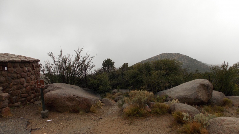
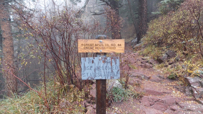
The makeshift TH sign at the alternate starting point.
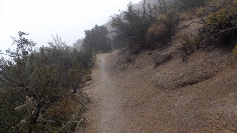
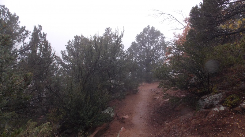
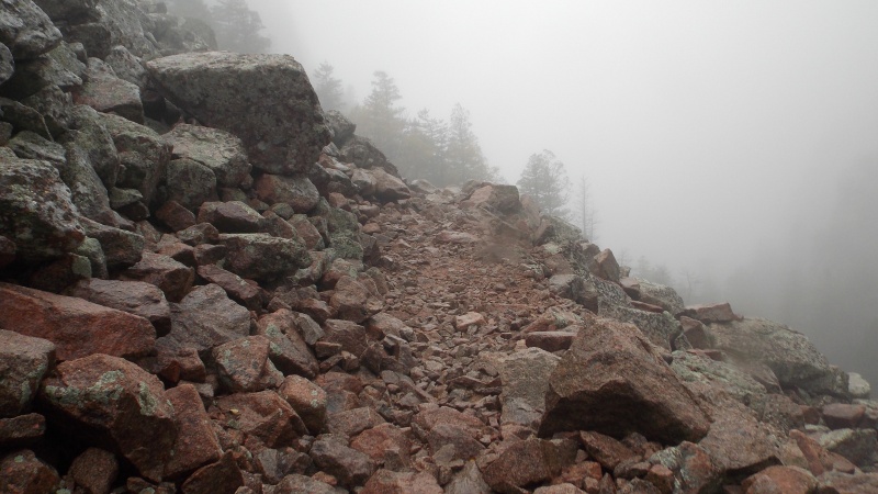
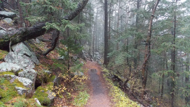
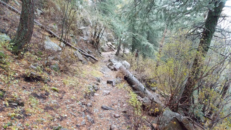
The trail is very well defined throughout the hike, with the exception of a couple spots
The plant life was far different on this hike than it is further north. Very desert like, which is what I expected.
Every now and then you would turn into an area that looked more like a Colorado peak.
Great trail conditions, albeit wet and a little chilly.
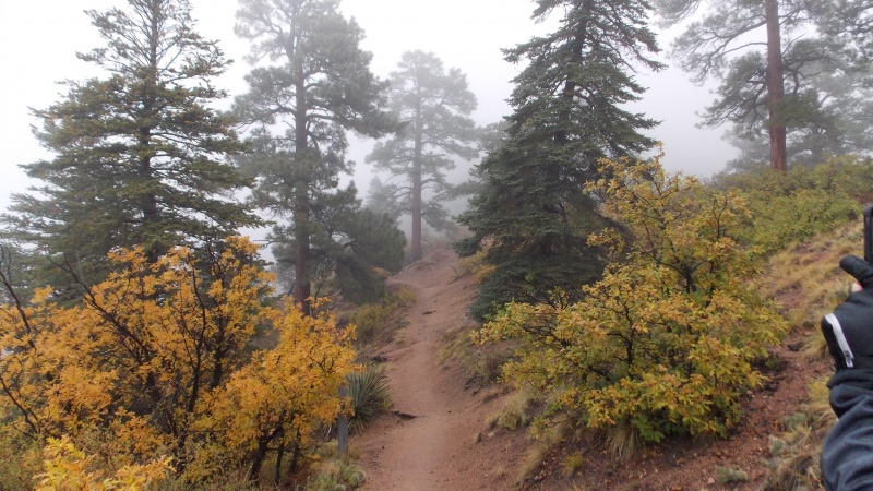
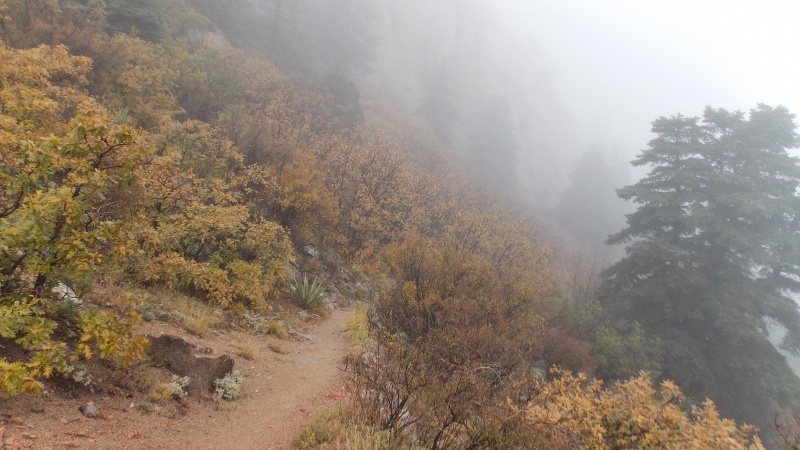
Very cool transitions from cacti, pinon, yucca and other desert plants into Ponderosa pines, oak and other plant life more associated with alpine environments
More typical trail conditions
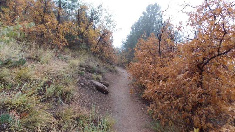
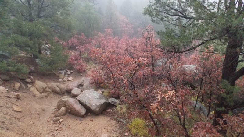
A very interesting type of oak-like brush was in the canyons....very pretty foliage
A little narrower and sloped, but nothing too bad.
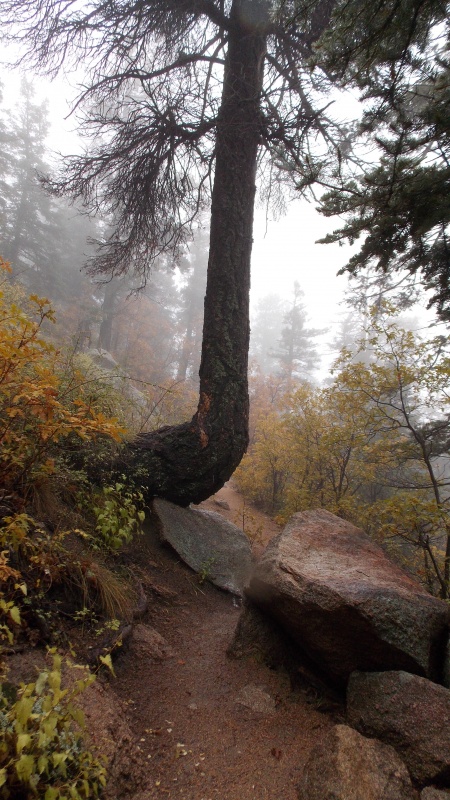
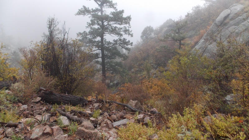
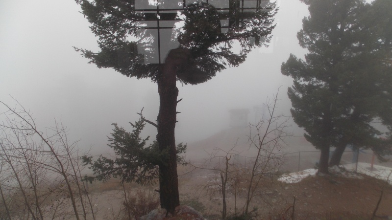
Interesting tree that we passed on the ascent
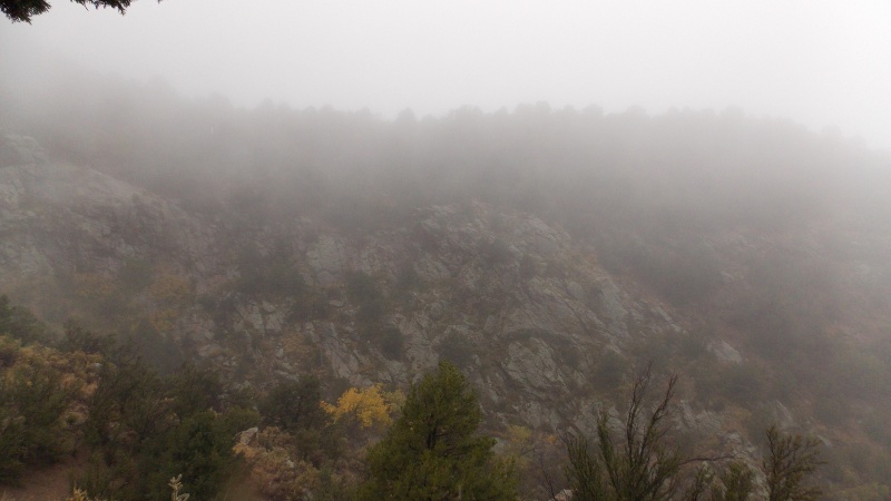
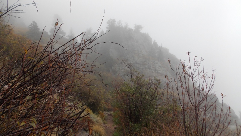
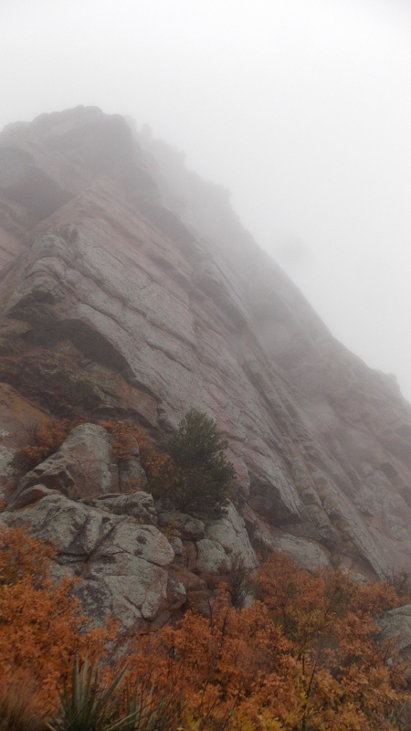
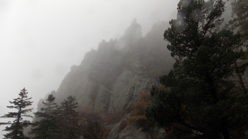
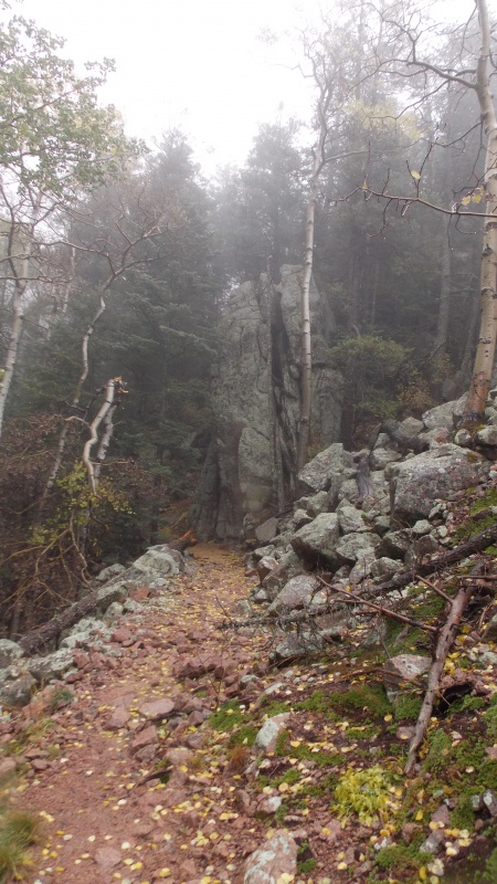
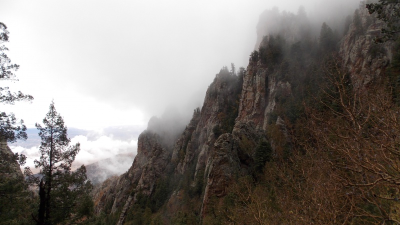
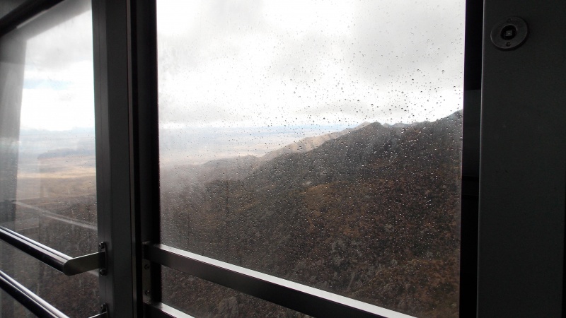
Cool rock formations loom above us
Again, the views were not what they could have been
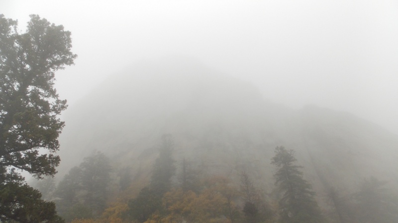
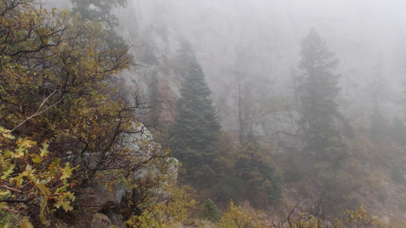
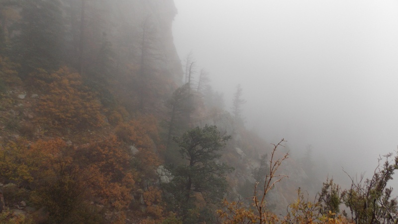
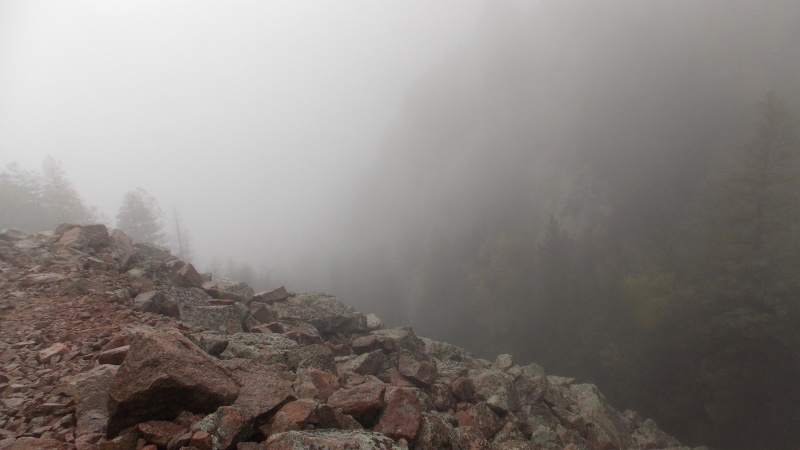
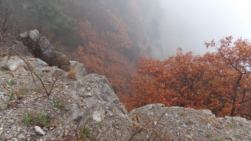
It was kind of surreal and interesting to hike in the foggy conditions, made for some really cool pics. This sheer cliff loomed over us for a while.
Great trail
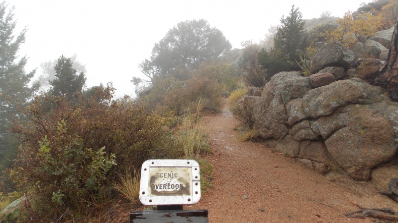
Didn't even bother going out to the rock outcrop for the scenic overlook.
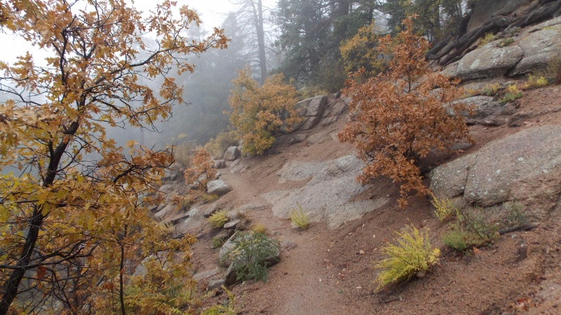
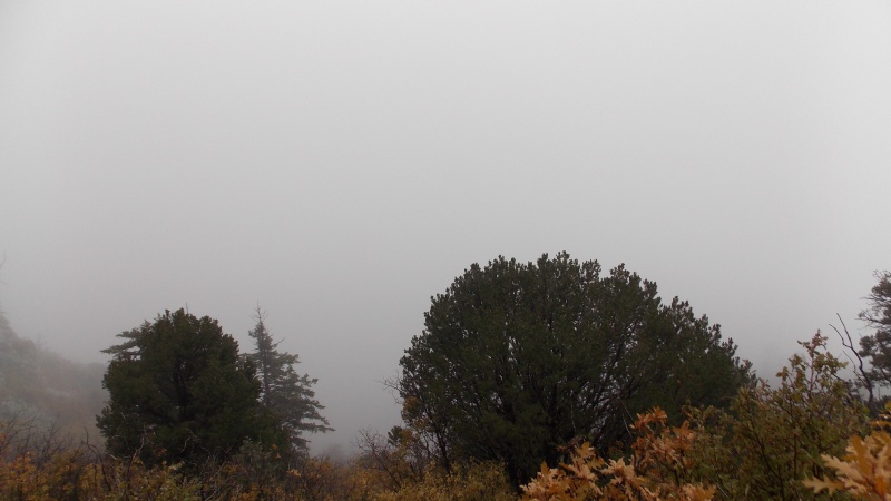
Looking a little more alpine-like during this stretch of the hike.
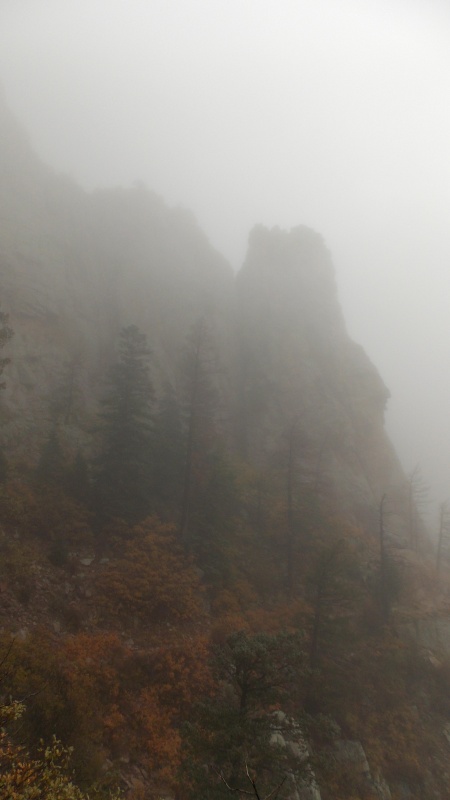
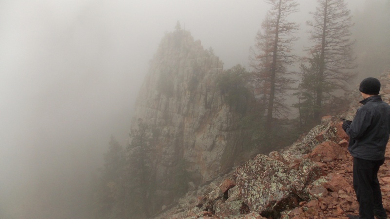
Someone may correct me here, but I believe this is called The Thumb.
Looking across the ravine at the trail on the other side
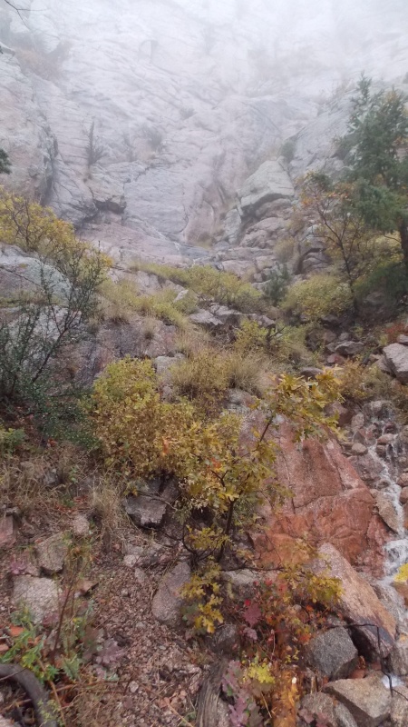
The rain had allowed a small waterfall to form down the rock face....very cool.
Looking up another sheer rock face above us
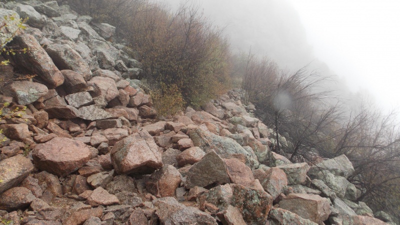
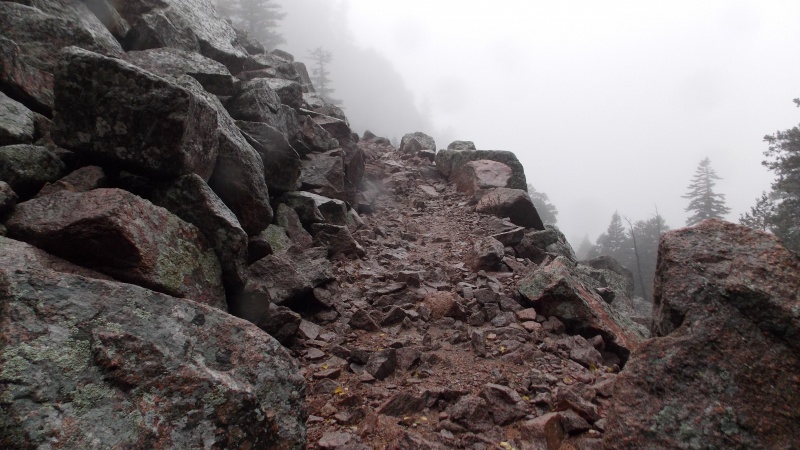
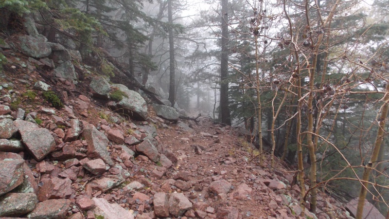
The trail switchbacked across a large talus field for a good portion of the hike. There were really only a few places that the trail got really rocky though
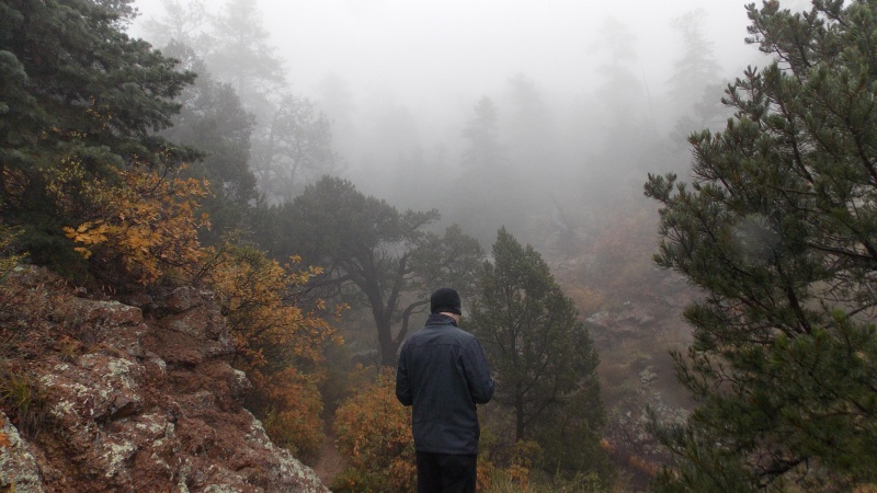
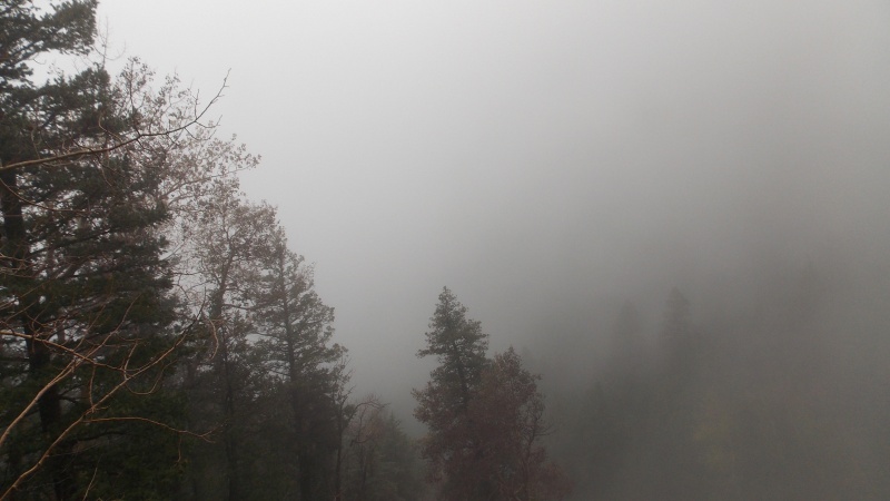
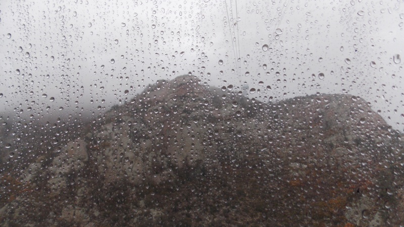
Eerie fog and rocky outcroppings as we ascend deeper into the mist and rain.
There are also several places that the trail is very ledgy, with sheer drops for long distances.
Traversing another talus field
The last quarter to third of the hike reminded me a lot of a LOTR scene.
Great trail with great beauty.
More rocky towers and gendarmes along the way
More slightly rocky trail sections
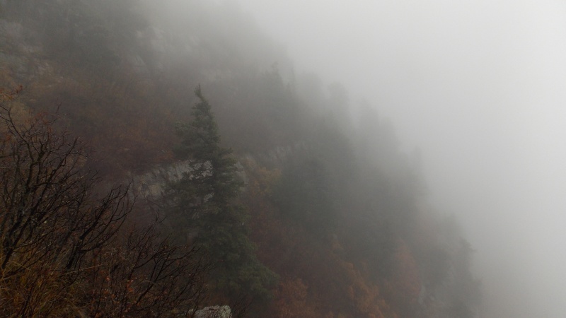
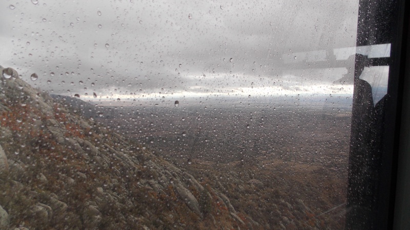
Looking down into one of the foggy ravines.
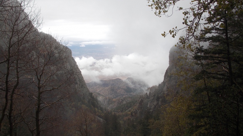
The clouds actually broke for about 5 minutes, giving us a brief reprieve from the rain and giving us a chance to see down into Albuquerque.
Very craggy, jagged rock formations hat had stood over us just a few minutes before
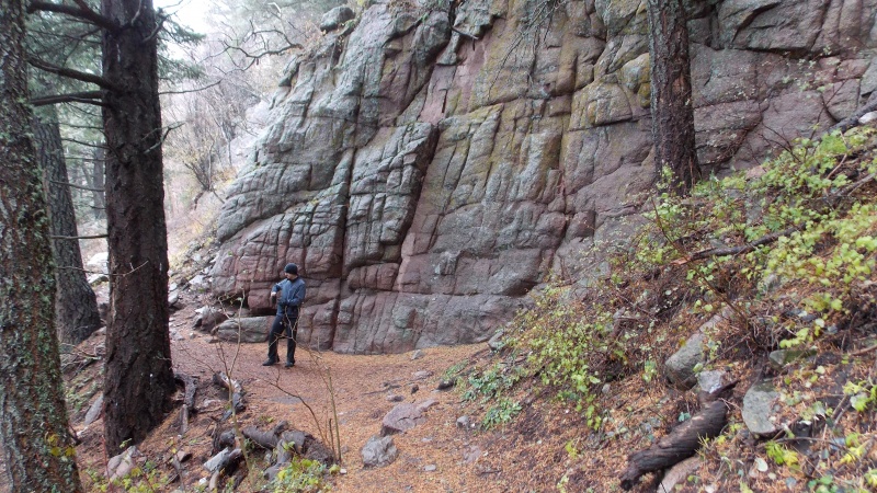
A very neat rock wall that the trail runs along
This sign marks the end of the La Luz Trail and directs you towards the Crest House, or as we did, to the Tram trail
The tram trail was easy, little, if any elevation gain....but it is narrow and has sheer drops in several places.
And even more fog and rain as we marched across the trail to the Tram.
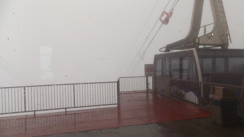
The summit area was still socked in when we made it to the tram. Took us right at 3 1/2 hours to make the 9 mile hike to the tram.
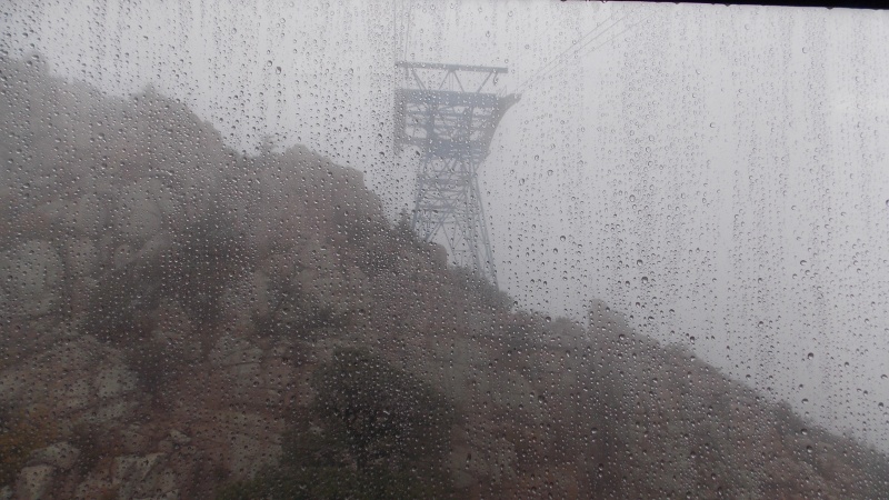
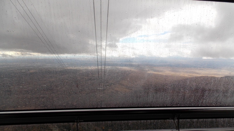
It would have been a great view....lol. It was kind of spooky taking the tram down in the foggy, rainy conditions.
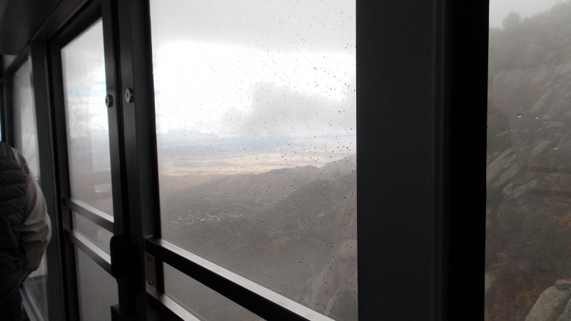
Finally seeing daylight once the tram got below 9000 ft or so
Looking south from the tram at about 8000 ft or so
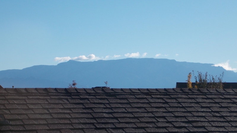
Sandia Crest the following day.
Now, my thoughts about the hike: First off, water....you will want to take plenty of water if you are going on this hike. The La Luz Trail is about 7 to 7.5 miles long and on a normal day there will be almost no water sources along the way. I'm sure there will be more during times of snowmelt and rain, but we came across very little water even though it was raining for almost the whole hike. I highly recommend doing this hike in the late fall or spring, the temps in and around the Sandia Mountains can be extreme during the summer and winter and I don't think I would enjoy it in the extreme heat especially. The hike itself is quite mild, especially by the standards I've come to expect while doing the Colorado peaks. It's never really steep, the trail is well defined for about 99% of it's duration, but you do still gain somewhere around 3800 total feet of elevation. However, the trail does have some exposure in the form of sheer drops on the sides of the trail in places. The trail is always solid, but it is narrow in a few spots and folks that are uncomfortable with heights may not like some of those locations. If the weather had been clear we would have gone on up to the Crest House, but there really wasn't any reason to...nothing could be seen and we were soaked, the wind had picked up and we were actually starting to feel some solid precipitation hit us with that wind. We ended up taking the tram down and catching an Uber from the tram station back to the trailhead parking area. It was late afternoon and we were ready to get some dry clothes on. I would call this trail Class 1, it's a little long, but having the tram for the descent is always an option if you are exhausted or running low on fluids. There is a little exposure, but not enough to classify it as a class 2. Hopefully the pics will help and the descriptions will give a little insight as to what to expect. It's a great hike that I may do again on a clear day just so I can see the views that this hike and this mountain are known for. It was definitely a different feeling being boxed in by such dense clouds throughout the hike, we never felt like we were as high up as we were.
Thumbnails for uploaded photos (click to open slideshow):
Thanks for writing this up! Looking out my office window at the Sandias now. Love doing this as a training hike when I can't make it up to Colorado to work on "the list." Coincidentally I'm 44 years old as well and at 22 of the 58. Seeing you're from Texas makes me realize I take having this gem in my backyard for granted. You are right about the heat. The bottom third is absolutely brutal in summer if you don't get an early start.
Lived in Albuquerque 20 years before moving to Colorado. La Luz was always a favorite hike. We used to park at the tram parking lot and hike over to the La Luz trail and take the tram down of course. Been in Colorado 2 years now. 22/58 14ers done as well.
Caution: The information contained in this report may not be accurate and should not be the only resource used in preparation for your climb. Failure to have the necessary experience, physical conditioning, supplies or equipment can result in injury or death. 14ers.com and the author(s) of this report provide no warranties, either express or implied, that the information provided is accurate or reliable. By using the information provided, you agree to indemnify and hold harmless 14ers.com and the report author(s) with respect to any claims and demands against them, including any attorney fees and expenses. Please read the 14ers.com Safety and Disclaimer pages for more information.
Please respect private property: 14ers.com supports the rights of private landowners to determine how and by whom their land will be used. In Colorado, it is your responsibility to determine if land is private and to obtain the appropriate permission before entering the property.


")
")
")
")
")
")
")
")
")
")
")
")
")
")
")
")
")
")
")
")
")
")
")
")
")
")
")
")
")
")
")
")
")
")
")
")
")
")
")
")
")
")
")
")
")
")
")
")
")
")