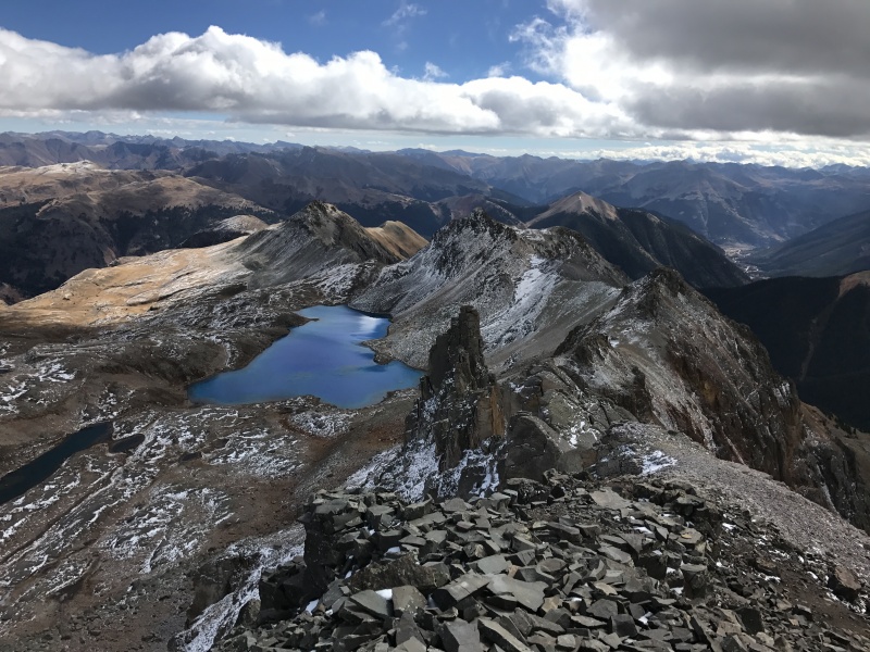
This report is written from the experience of an aged climber. Youth who have either climbed it or will climb it will probably have a different perspective. Being aged also means I need assistance with downloading photos etc, for which I have much gratitude to Rob Schichtel for his patient assistance in these matters.
Lookout Peak from the west side of Ophir Pass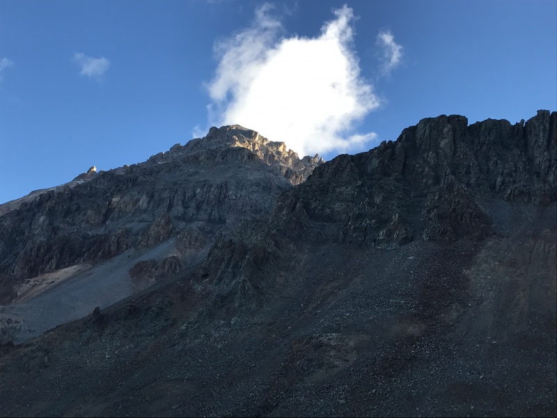
Lookout Peak is a rugged climb. It took me 4 hours and 30 minutes to do the 3 mile round trip. Route founding was easier than expected due to frequent small cairns and intermittent user trails. One should not expect anything close to a CFI built trail. Most of the route is on solid talus, loose talus, and loose scree. The approach to the summit block is rough Class 2 with some optional Class 3 on solid rock depending on how one choses their route. The summit block is Class 3 but it consists of small ledges covered with loose scree which I found somewhat treacherous especially on the descent.The summit block is steep and a slip could result in quite a slide and in the wrong place one could go over a cliff. Thus, though it was technically easy, the summit block seemed harder and more dangerous than its rating. Class 3 and Class 4 on solid rock is exhilarating but this was enervating. While others report nothing harder than Class 3, on both the ascent and descent the route funneled me into a corner about 8 feet high which I thought was low class 5 to ascend. The only way around this corner that I could see was on very small ledges immediately over a steep gulley leading down to a cliff and so I went both up and down the corner. I was happy to have done the peak but it is not one I will repeat.
Trip Report
I parked at the summit of Ophir Pass 11,789 feet. There is room for several vehicles to park on the pass summit.
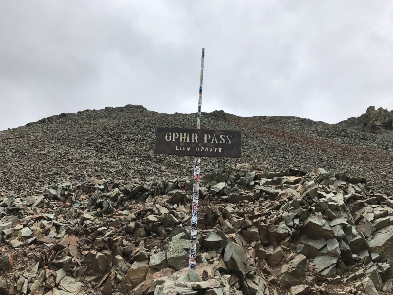
The first goal is to bypass Point 12,187 on its east ridge. Point 12,187 is on the north side of Ophir Pass and blocks the view of Lookout Peak from the Pass summit. Immediately across the road from the sign, there is a rough trail which looks like it will take the climber around the east ridge of Point 12,187. This trail peters out very soon and while I made it go on the ascent, an easier way would be to follow the Ophir Pass road down to the east a short ways until you pass the east ridge of Point 12,187 and then start the ascent. This is how I descended and recommend this way.
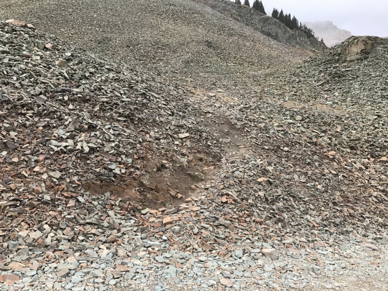
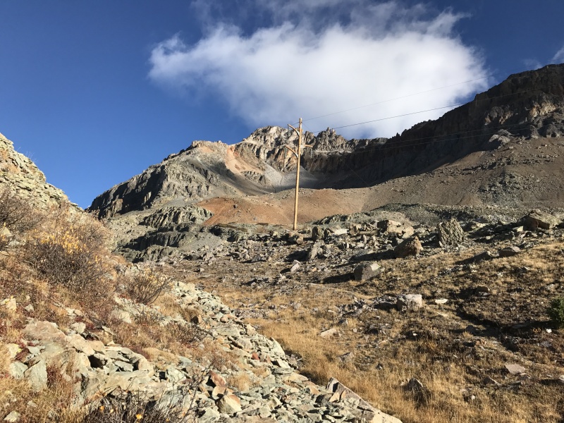
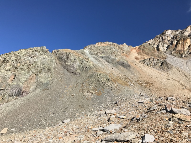
Once the east ridge is behind you then you will be in a basin with the goal of passing underneath the electric/telephone lines. There is a user trail immediately before the lines. This picture shows the entire route ahead. The goal is to reach the south ridge of Lookout Peak. It is best to avoid the steep red scree filled gully in the middle of the photo. Better to ascend a shrubby gully with white rock ( still loose but not as steep) on the left. Once on the ridge user trails will take you around or over the rocky ridge in between the two gullies.
A closer view showing the two gullies. Best to ascend the middle of the three gullies with white rock in the middle of the photo.
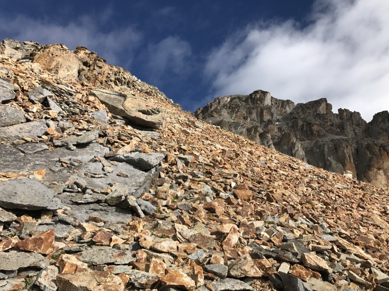
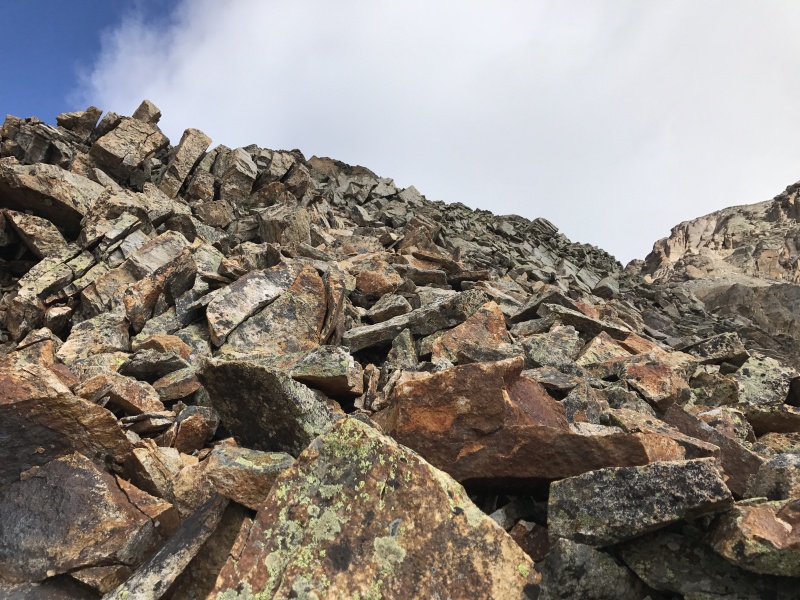
Typical terrain on the rocky ridge.
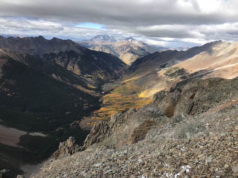
The ever beautiful Ophir Valley from the south ridge. Looking west to the Wilson group.
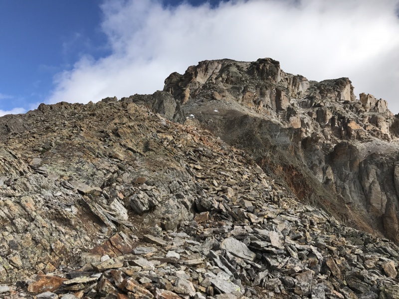
After crossing the rocky ridge, the summit comes into better view . One can see the cliffs you wish to avoid sliding over. The route goes up the broad slope immediately to the left of the blocky cliffs on the right side of the picture.
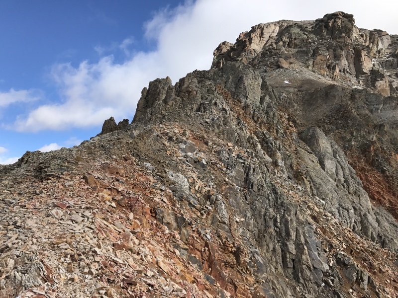
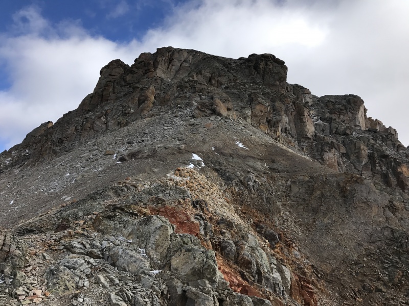
Looking down on the south ridge.
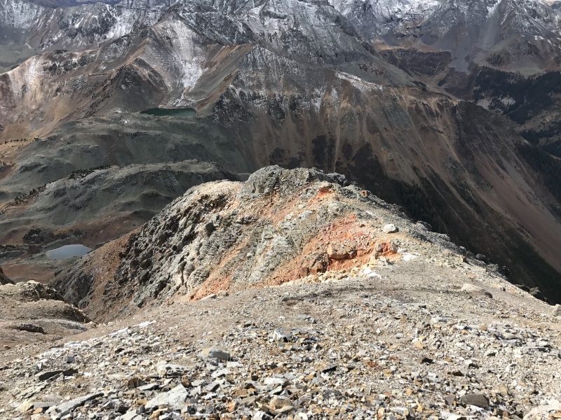
More loose scree needs to be ascended before reaching the summit block.
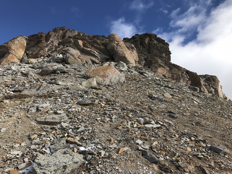
At the head of this loose scree gully, turn right on the first ledge. You are now on the summit block.
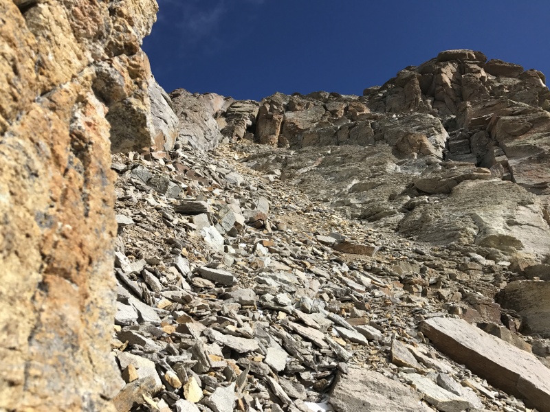
Looking down the loose scree gully leading to the summit block.
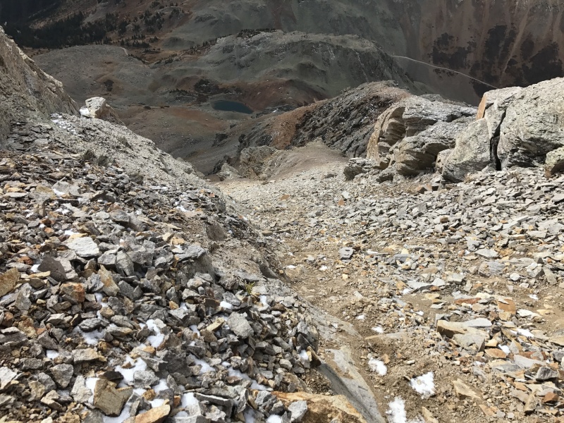
A user trail leads to the left of the blocky cliffs on the east side of the summit.
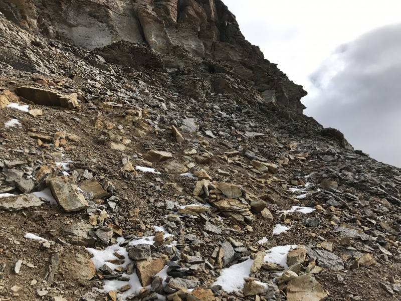
Looking up at the final pitch. Again not technically difficult but the ledges are covered with loose scree. Pebbles ran down frequently from above during the ascent. My rear end scraped off much scree during the descent but there is still plenty left for your enjoyment.
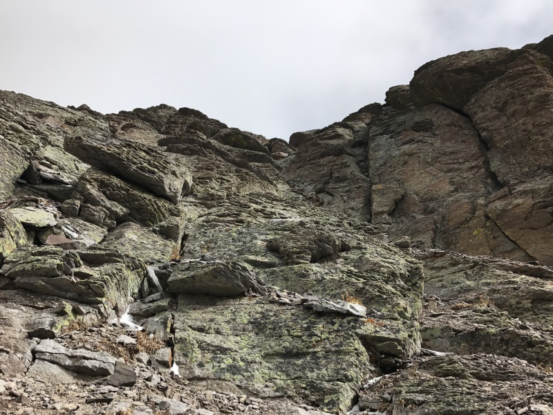
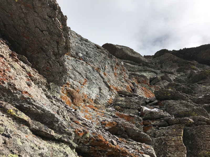
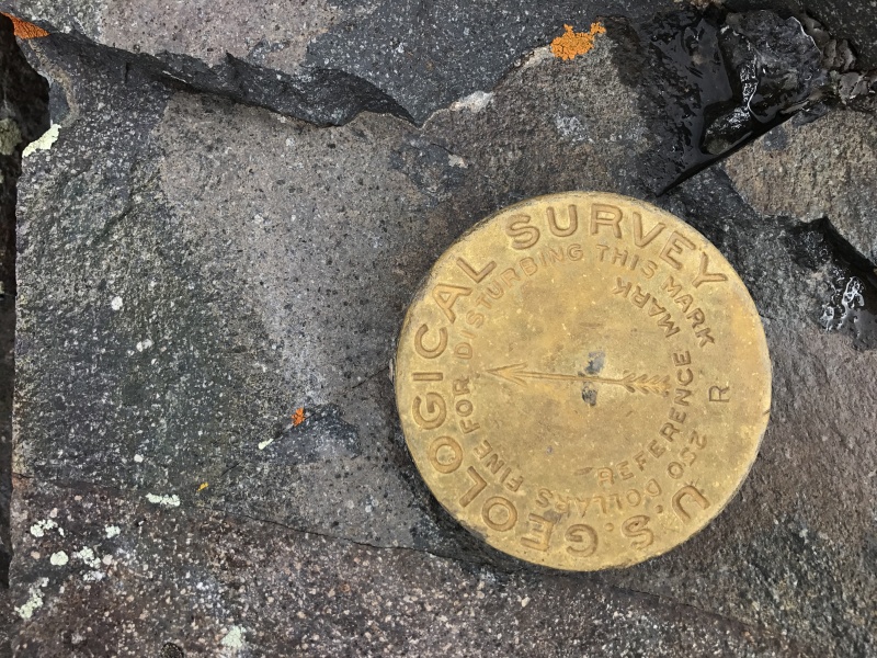
There is a US Geological Survey marker about 10 vertical feet from the summit. I think this is the only gold marker I can remember. All the others have been silver.
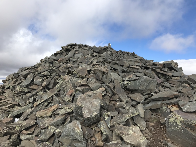
The summit with a bird dropping covered cairn which has a summit register.
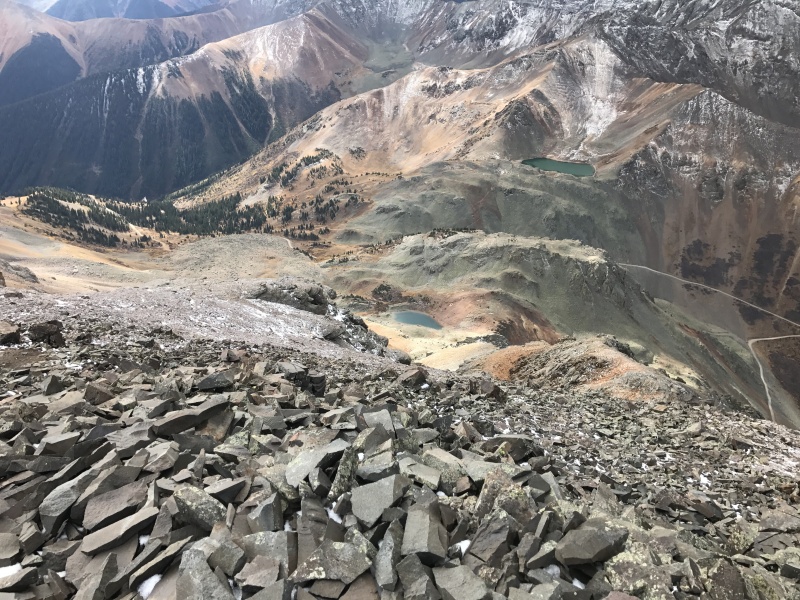
Looking down from the summit showing much of the route.
Ophir Pass road and approaching storm over US Grant.
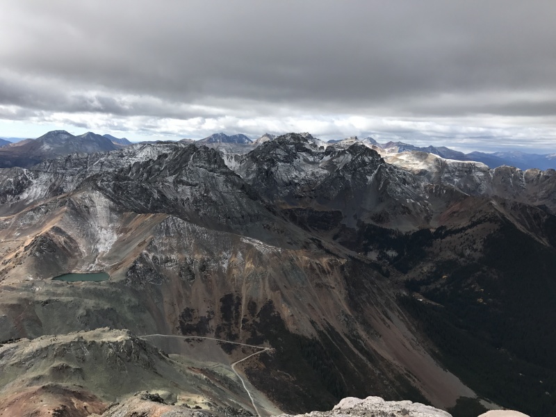
Looking west to Oscar's Peak, Silver Mountain and San Joaquin Ridge.
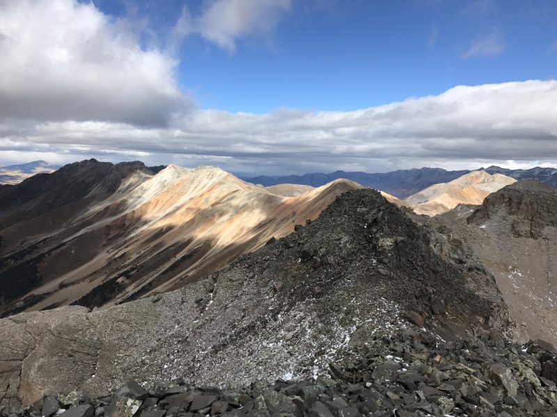
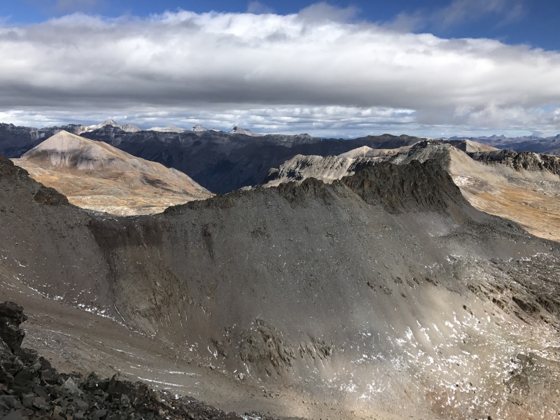
There are many beautiful views in Colorado but this one will be burned into my memory.
