| Report Type | Full |
| Peak(s) |
Unnamed 13313 - 13,313 feet Broken Hill - 13,254 feet Unnamed 13207 - 13,207 feet |
| Date Posted | 09/27/2018 |
| Modified | 10/01/2018 |
| Date Climbed | 09/22/2018 |
| Author | Bombay2Boulder |
| San Juan Obscurity |
|---|
|
The weather was looking great for the weekend and I had not been out the San Juans a lot in the past year and this season, so back I was. I decided to do some obscure 13ers to get some solitude. I read Otina's excellent trip report and that gave me a great idea about the loop. It is an excellent report and I used it a lot to navigate my way around the region. I drove the night before and slept in the car at the lower matterhorn creek TH. This road is much tougher than what I remember the last time I was here 4 years back. We drove in an Altima to the lower TH then, don't think that is possible anymore. I will upload my GPX file to give people an idea about the route. I followed the 4 WD road to the upper TH and eventually started on Wetterhorn peak's trail. Near the big meadow area, there is a hair pin turn that you take, I left the trail there and took an old forest service road pretty much to the upper basin of Broken Hill. The road is pretty obvious although with snow on the ground it might be hard to follow in parts. 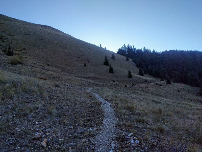 The road was excellent and I heard a lot of rutting noises, ohh, maybe I will see an Elk herd. 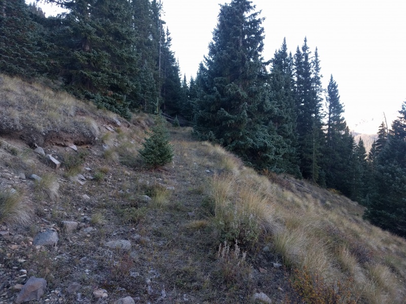 The views of Wetterhorn were great from the road. 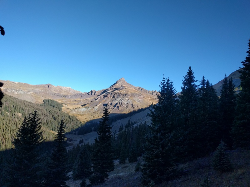 Just as I was about to exit the treeline. 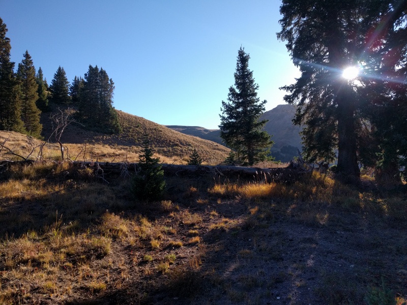 I saw a giant elk herd at the saddle shown in the picture below. 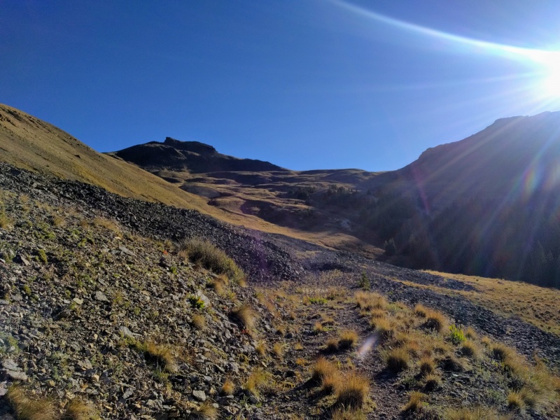 There was something labelled "Iron Beds" in my GPS , was pretty intrigued, but it didn't turn out to be that exciting. 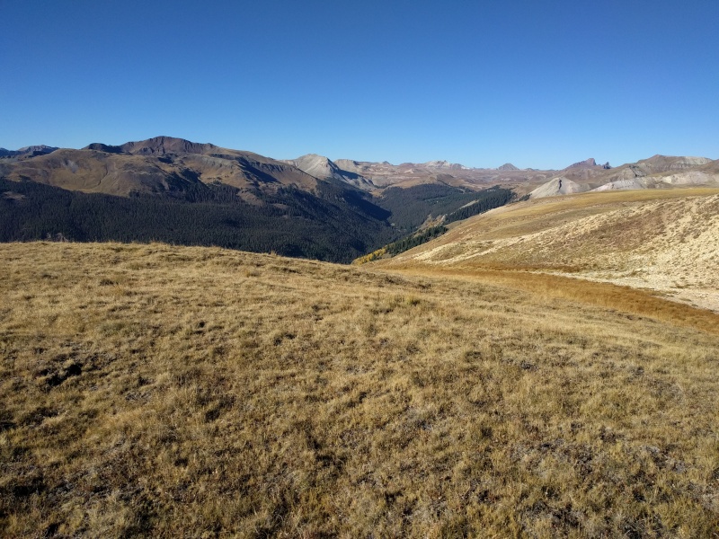 I intercepted a game trail that took me to the upper reaches of Broken Hill. And yeah, the elk herd ran towards the other side of the basin as they saw me approach. 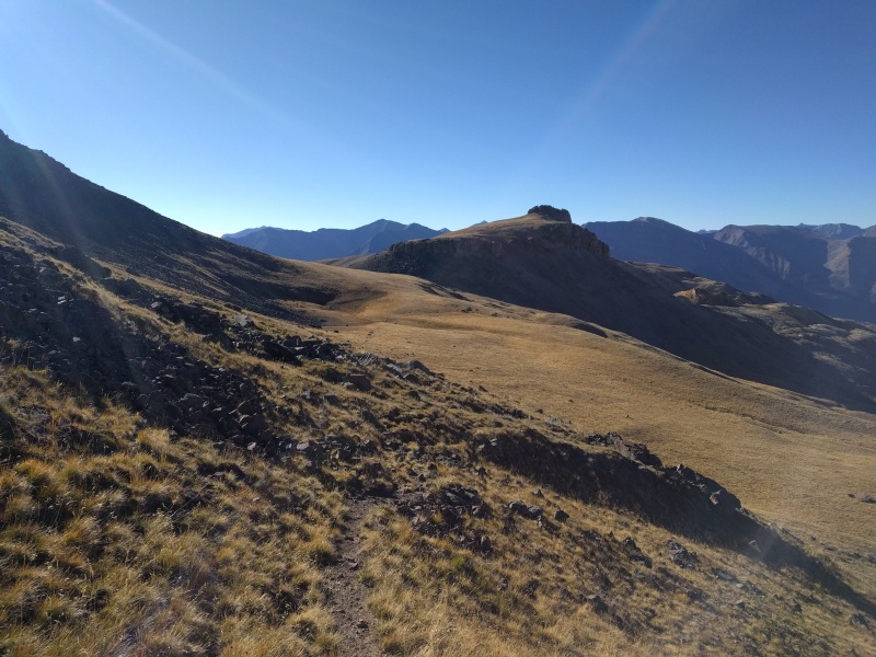 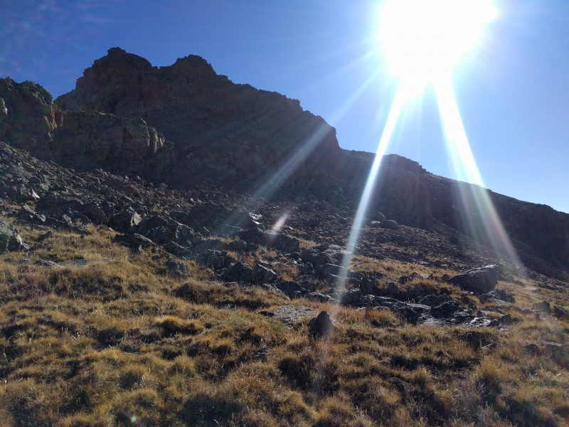 Approaching the upper section 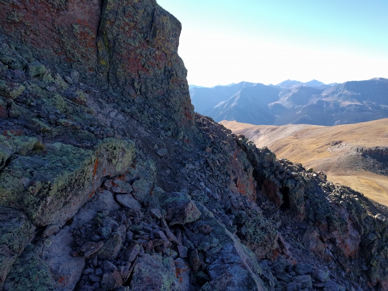 The final pitch is pretty loose for the first 50-60 ft, but then it turns into tundra walk.  The summit area was really pretty, one of the best pano views in the San Juans for sure! There wasn't a summit register so I left one. Overall had a great time soaking in the views! 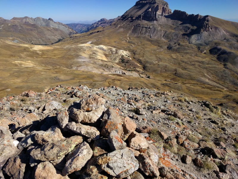 On wards to the next objective, PT 13,330C. I went down the valley shown below and intercepted a game trail that skirted on the right side of the light colored hill way below and intercepted the uncomphagre- wetterhorn trail. 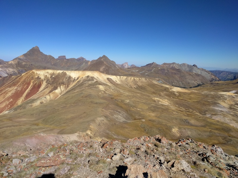 This pic shows the final slope of Brokken Hill 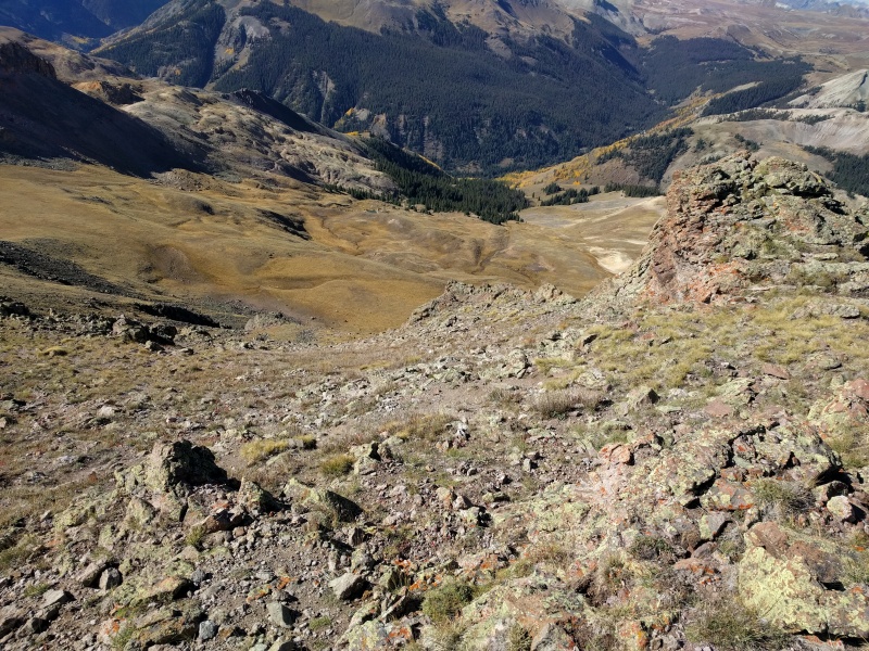 As I started to go down, I intercepted the Elk herd again, I really wished I had a good camera, but this is the picture I got. 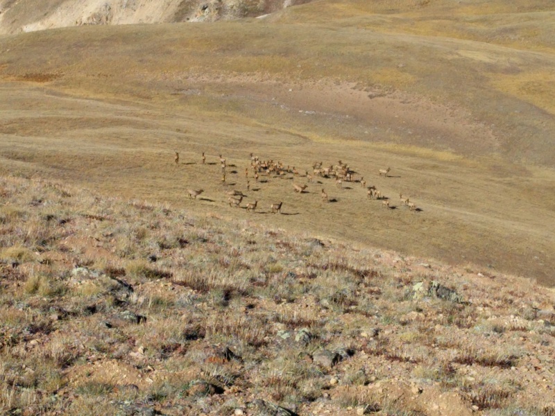 Game trail I found and pretty much followed down the basin.  You can see the trail from Uncompahgre going towards Wetterhorn going down and will give you an idea where to go  Beautiful weather! Not a cloud in the sky 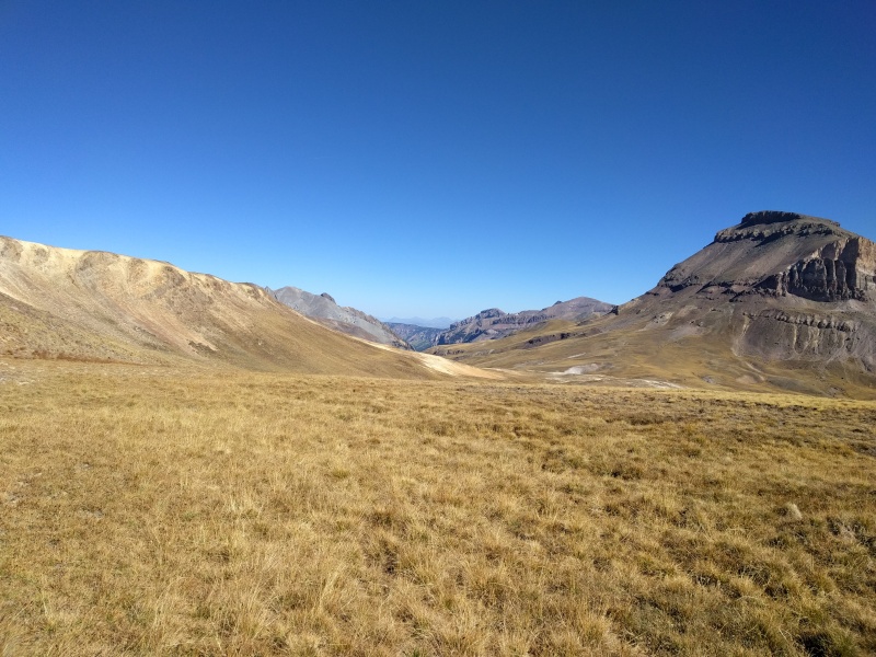 As I kept going down, I approached a carcass that was all over the place. 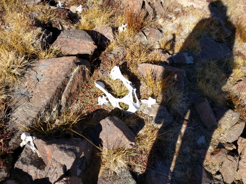 It was strewn across the "trail" 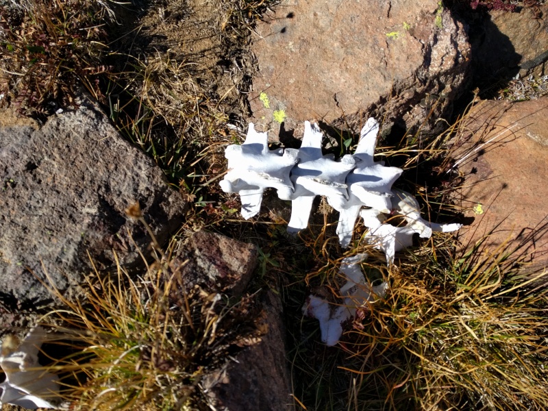 Looking back  And I keep going 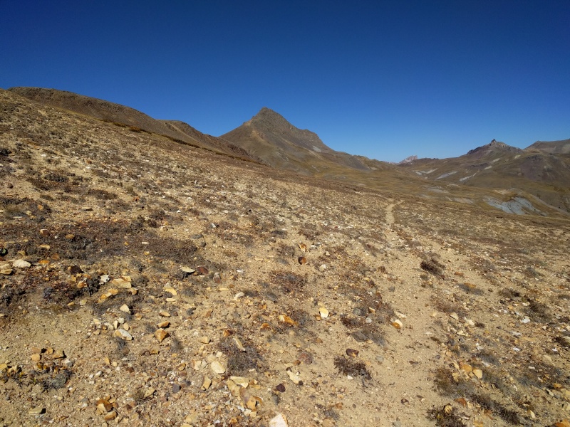 Once I approached the standard wetterhorn trail, I followed it towards the light dirt gully, at the point below I took a left, but not after I had already climbed the light gully by mistake, should have checked my GPS before to see there are cliffs. 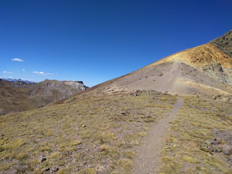 I found another game trail. that I took to the saddle shown in the pic below. The route looks like it won' go from this angle but it does go and is low class 2. Approximate route I took towards 13,330 C 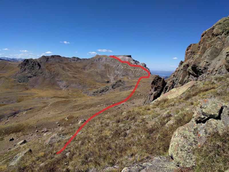 You can see the game trail I took to the saddle 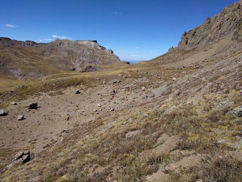 It gave an interesting angle on the backside of Wetterhorn, I could see people on the class 3 section and on the summit 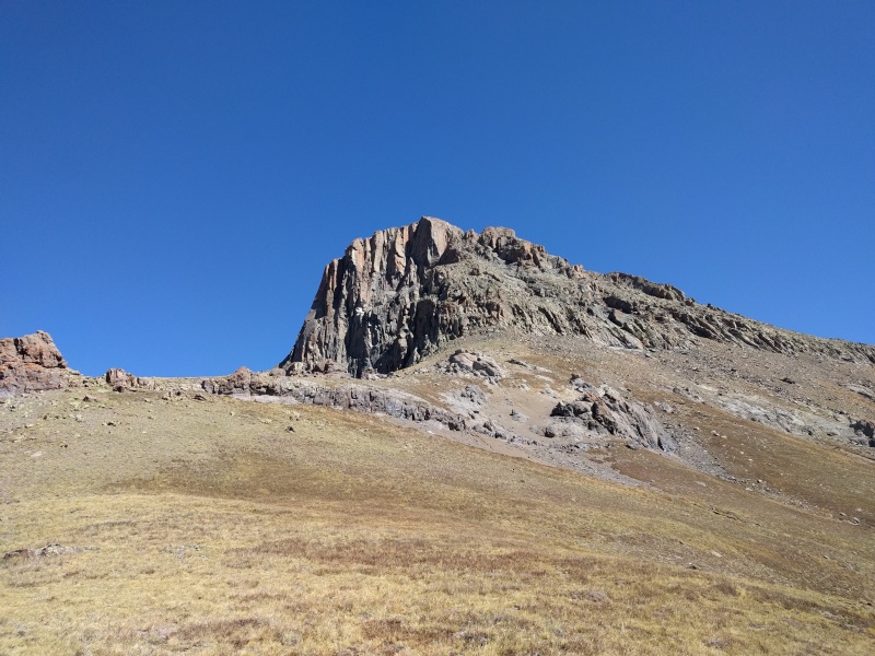 Saddle time 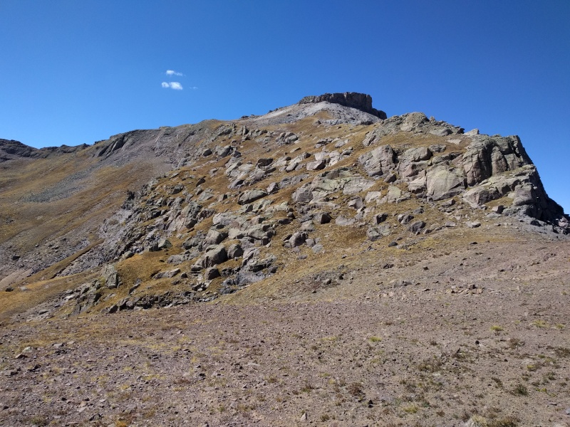 There were lot of interesting rock structures after the saddle, the soil here was very sandy and felt like I was on a beach 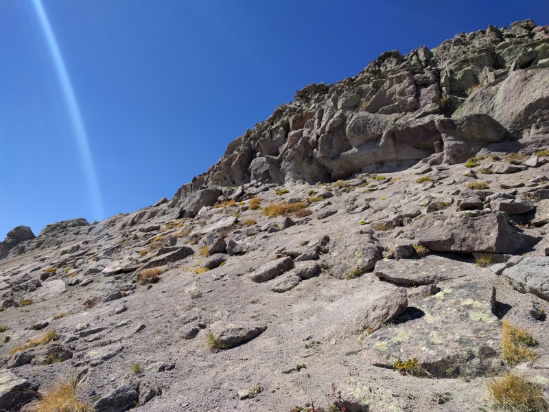 Summit of PT 13,330 C looking towards Wetterhorn, was very happy to see a summit register as I like to read what people have to say 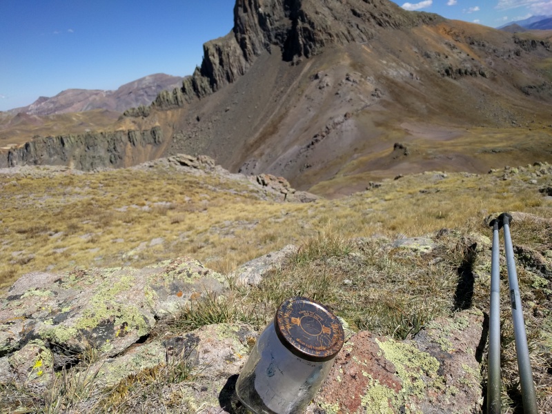 The usual suspects on the register, only one other perosn had visited this year, oh the joys of obscure 13ers! 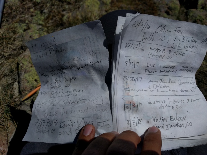 The summit area was pretty flat and had great views of surrounding 13ers! I will be back for those 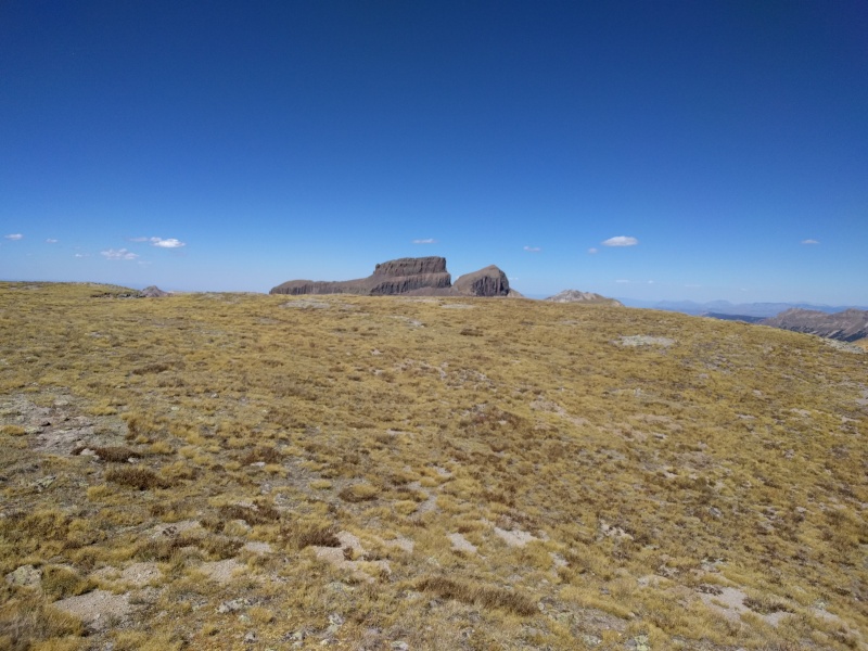 Final goal- Pt 13,201, at this point I started to side track on the ridge. I was not sure which route to take on this one, I could see signs of trail on the middle section of the saddle shown in the picture, but that slope looked really loose and I knew if I attempted it and it didn't go I will have no motivation to do it from the other side. So instead I just dropped down the valley and took the stock trail to the shoulder seen on the left of the picture below to the top.  As I took a turn around the hill, I turned around to a strong smell wondering what it was and lo and behold a dead sheep! This was around 13,100 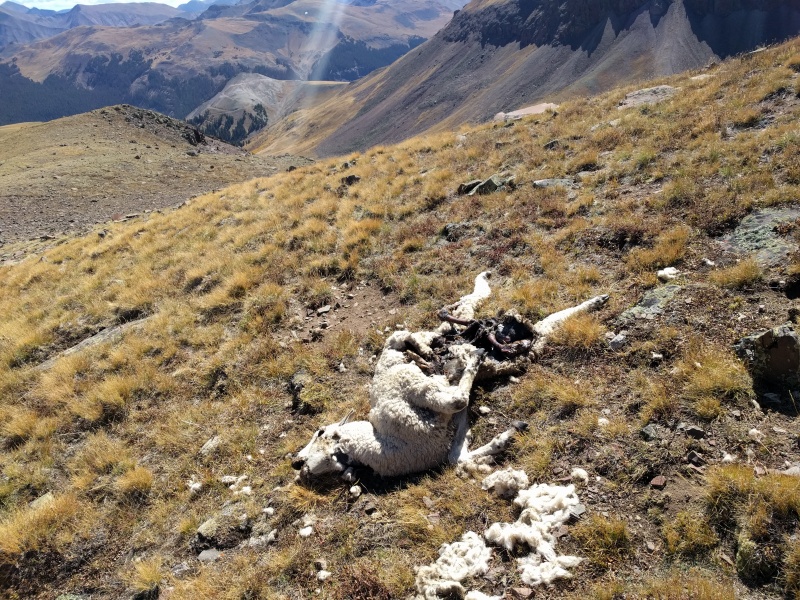 I went all the way down the basin and saw this sign, and took saddle trail to the right to get to the base of the steep shoulder. 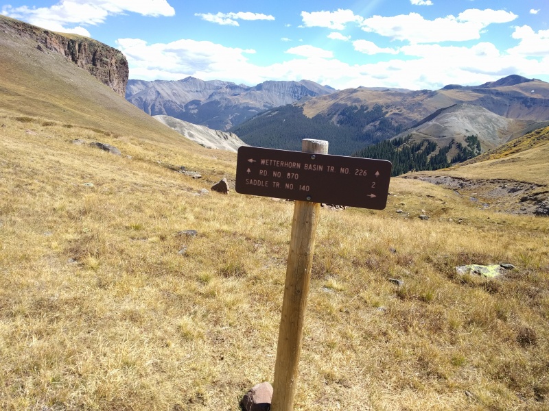 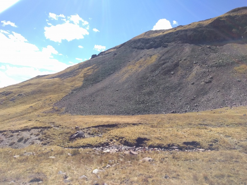 The slope up was steep! Just a couple of false summits, this is from near the first one 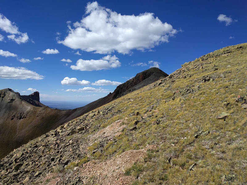 Wohooo! Broken Hill in the far 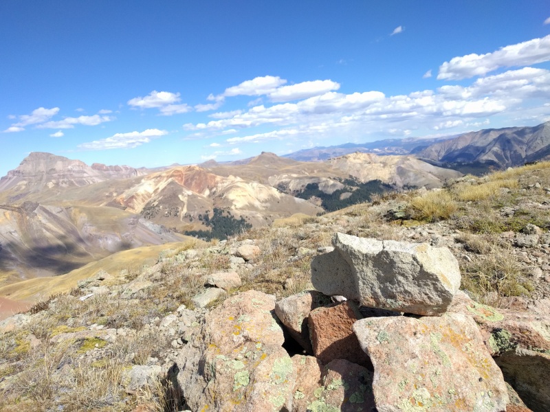 Such satisfying views around 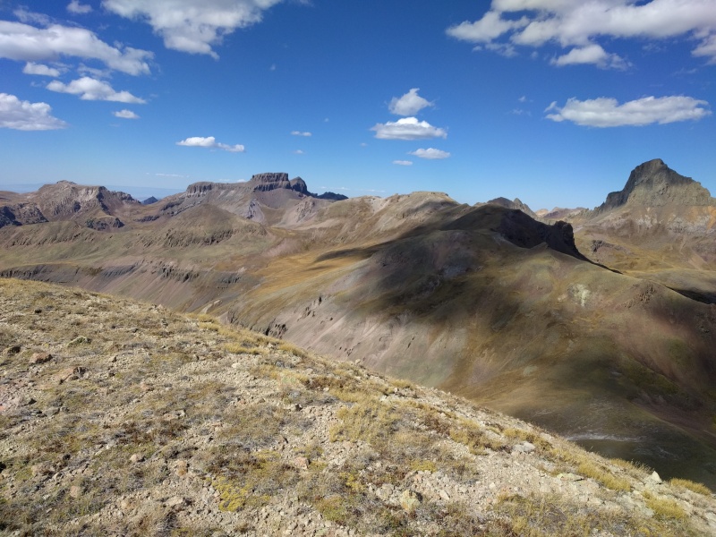 Summit was very calm! 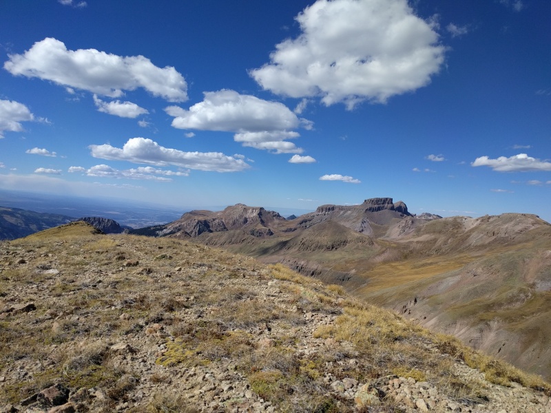 Wonder which one this is? 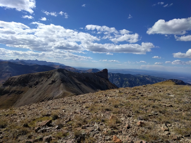 Didn't know this one had an un-official name? Wonder what's the story behind it. 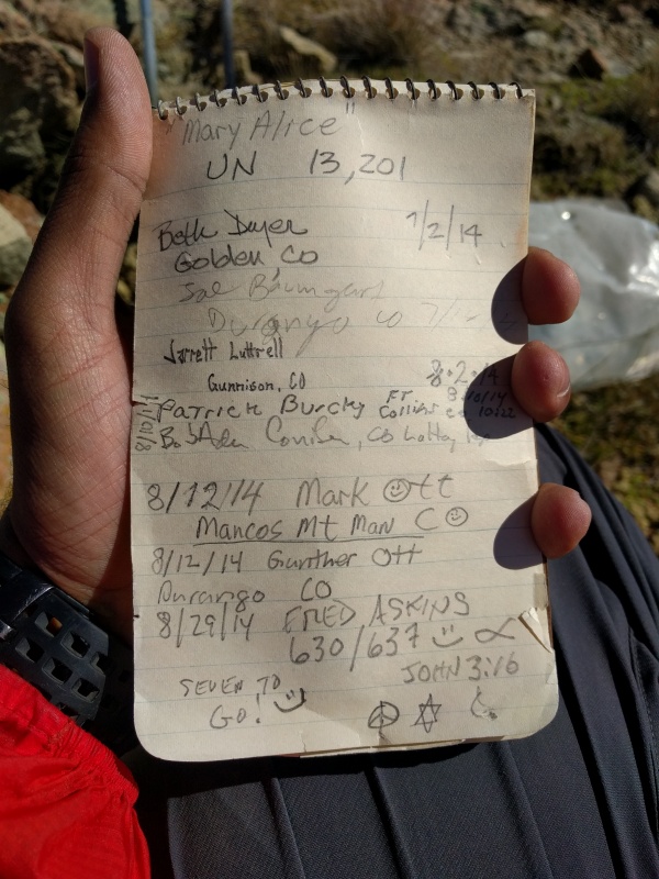 Summit fun 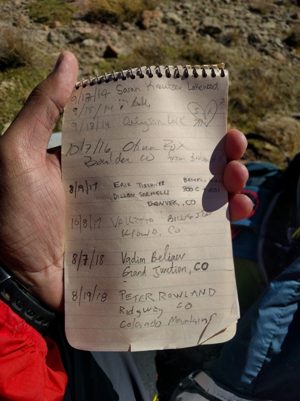 On the way down, I followed the same way as I took up and came back to the sign. Took a lunch break here 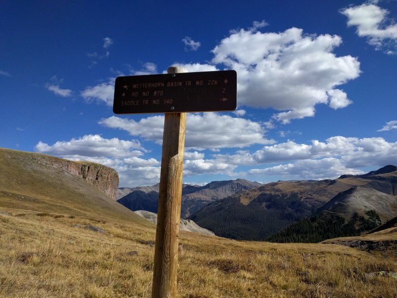 For the hike out, I decided to go straight and follow the Wetterhorn Basin trail on this side instead of the one on the left, the trail here is very faint and is almost non-existent over the upper basin, but I had my GPS so I was on track. Once on the lower basin it is more prominent and follows an old road for some time. Left would have taken me over back to the standard Wetterhorn Peak trail. I would like to note that the saddle trail is very lightly traveled and is overgrown, will be hard to follow it in snow. Down we go towards aspens 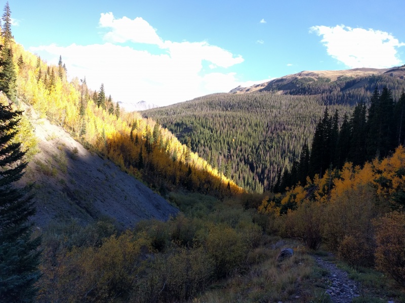 This is the TH where I got out, I then followed the road for another mile to the lower matterhorn creek TH making a great loop  Walking back to lower matterhorn creek TH 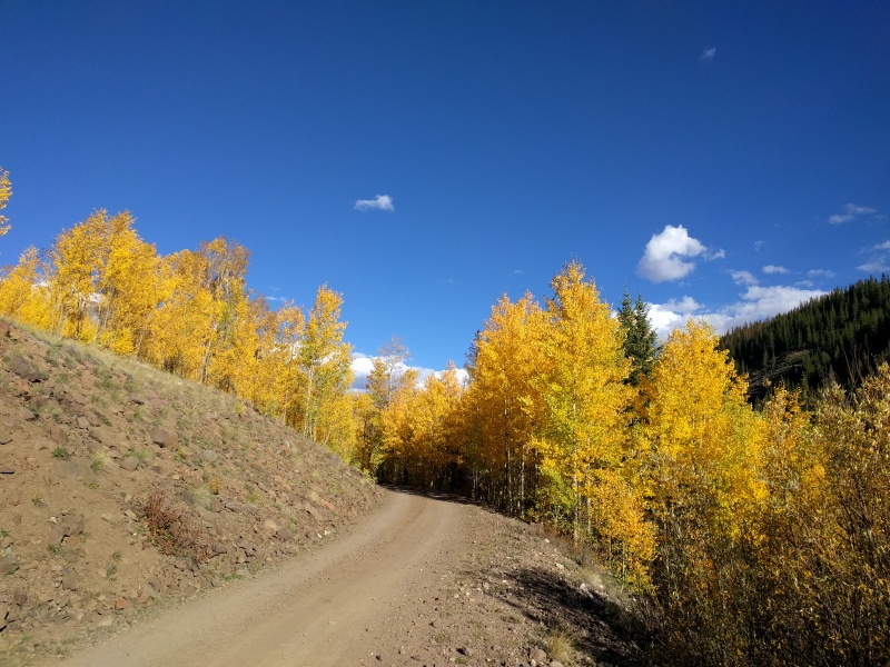 WOW! 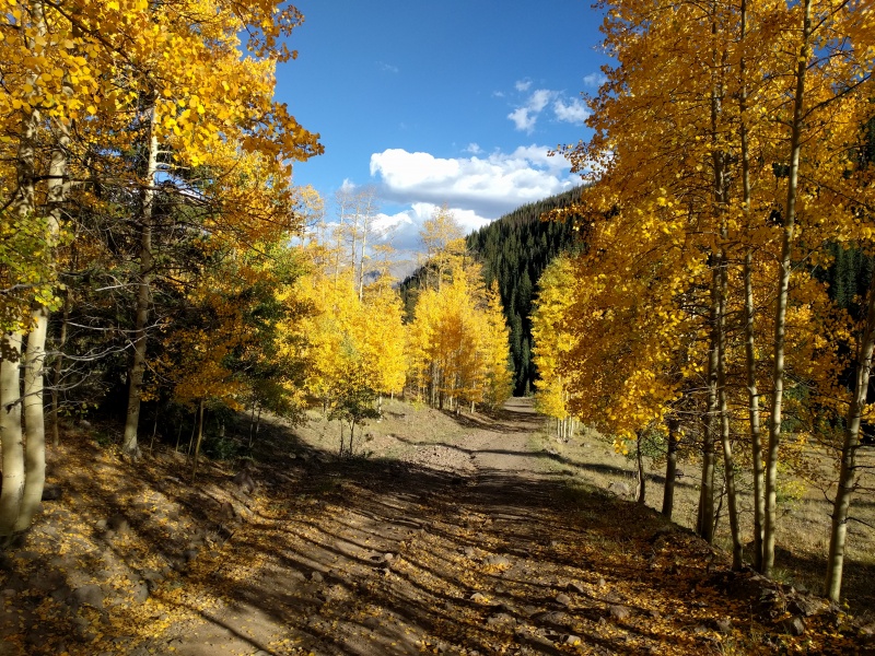 I am glad I did it it in late fall as all the sheep were gone and I didn't have to worry about the protective sheep dogs! Overall a very satisfying day, I had a lot of fun doing this loop! Much recommended for solitude and Elk sighting. If you have a low clearance car strongly suggest doing it as a loop instead of joining the Wetterhorn peak trail after the last one. Thumbnails for uploaded photos (click to open slideshow): ")
")
")
")
")
")
")
")
")
")
")
")
")
")
")
")
")
")
")
")
")
")
")
")
")
")
")
")
")
")
")
")
")
")
")
")
")
")
")
")
")
")
")
")
")
")
")
")
")
")
|
| Comments or Questions | |||
|---|---|---|---|
|
Caution: The information contained in this report may not be accurate and should not be the only resource used in preparation for your climb. Failure to have the necessary experience, physical conditioning, supplies or equipment can result in injury or death. 14ers.com and the author(s) of this report provide no warranties, either express or implied, that the information provided is accurate or reliable. By using the information provided, you agree to indemnify and hold harmless 14ers.com and the report author(s) with respect to any claims and demands against them, including any attorney fees and expenses. Please read the 14ers.com Safety and Disclaimer pages for more information.
Please respect private property: 14ers.com supports the rights of private landowners to determine how and by whom their land will be used. In Colorado, it is your responsibility to determine if land is private and to obtain the appropriate permission before entering the property.


