Download Agreement, Release, and Acknowledgement of Risk:
You (the person requesting this file download) fully understand mountain climbing ("Activity") involves risks and dangers of serious bodily injury, including permanent disability, paralysis, and death ("Risks") and you fully accept and assume all such risks and all responsibility for losses, costs, and damages you incur as a result of your participation in this Activity.
You acknowledge that information in the file you have chosen to download may not be accurate and may contain errors. You agree to assume all risks when using this information and agree to release and discharge 14ers.com, 14ers Inc. and the author(s) of such information (collectively, the "Released Parties").
You hereby discharge the Released Parties from all damages, actions, claims and liabilities of any nature, specifically including, but not limited to, damages, actions, claims and liabilities arising from or related to the negligence of the Released Parties. You further agree to indemnify, hold harmless and defend 14ers.com, 14ers Inc. and each of the other Released Parties from and against any loss, damage, liability and expense, including costs and attorney fees, incurred by 14ers.com, 14ers Inc. or any of the other Released Parties as a result of you using information provided on the 14ers.com or 14ers Inc. websites.
You have read this agreement, fully understand its terms and intend it to be a complete and unconditional release of all liability to the greatest extent allowed by law and agree that if any portion of this agreement is held to be invalid the balance, notwithstanding, shall continue in full force and effect.
By clicking "OK" you agree to these terms. If you DO NOT agree, click "Cancel"...
Thursday, Sept. 20, 2018. The forecast for the Conundrum Creek valley near Aspen called for warm, sunny days with zero chance of precipitation the next few days. The chance to grab a couple of tricentennial peaks (Hunter Peak and Unnamed 13,550') in beautiful September weather was too good to pass up, despite a prior commitment that would keep me busy until after 7 PM today. As soon as I got home, I jumped in my 4Runner and made the 3 1/2 hour drive to the Conundrum Creek Trailhead. It was 11 PM when I crawled into the back for a few hours of sleep, wishing I had a few more inches of legroom.
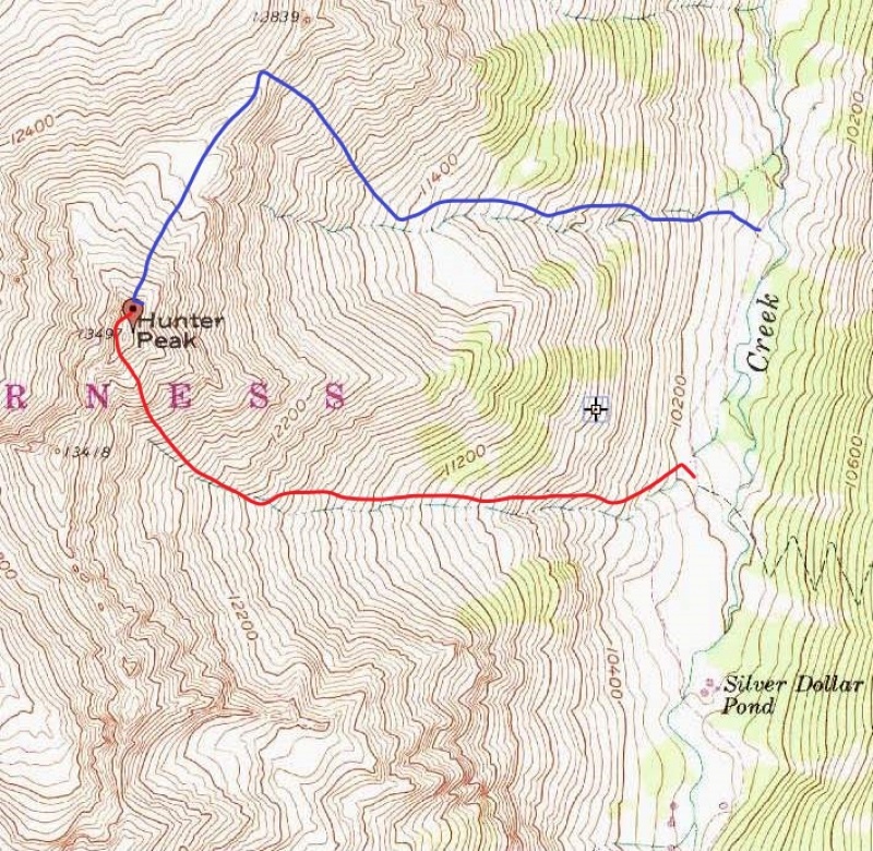
Friday, Sept. 21, 2018. I got up at 5 AM, ate a quick breakfast, and began backpacking up the Conundrum Creek Trail in the early morning darkness. The trail is a good one, and the miles went quickly. When I reached a creek crossing at 10,040' (about 1 mile north of Silver Dollar Pond), I stashed my backpack in the trees and began hiking west up the north side of the drainage.
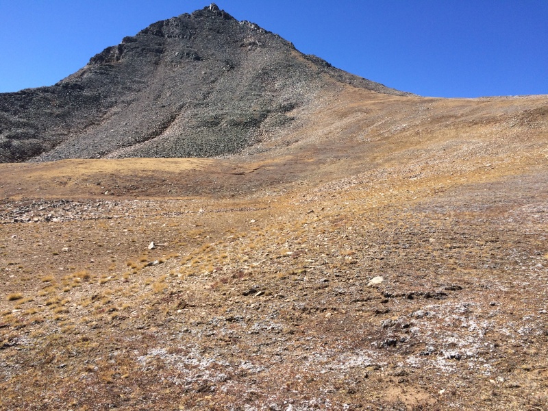
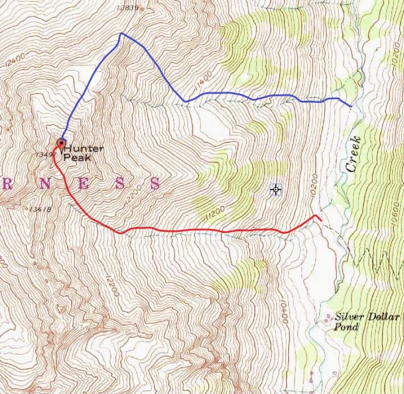
The ascent involved some sidehilling and a lot of willows and young aspens, but a few elk trails helped me gain elevation. Eventually, I got above the trees and entered the large basin NE of Hunter Peak. From here, I aimed NW toward a saddle between Hunter Peak and a 12,839' ridge bump. The footing was better than expected.
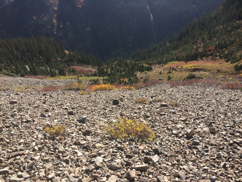
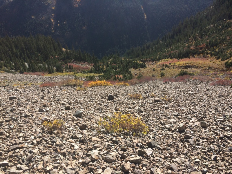
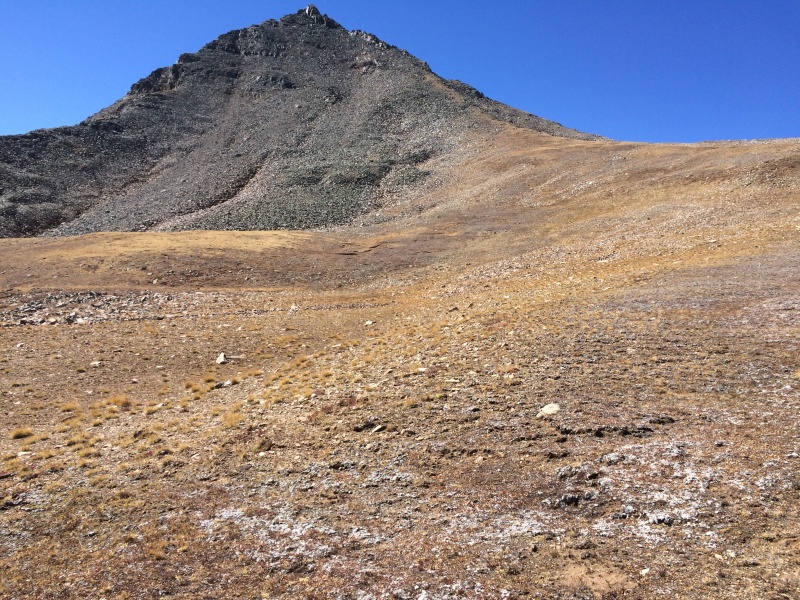
Looking down the talus toward the Conundrum Creek Trail
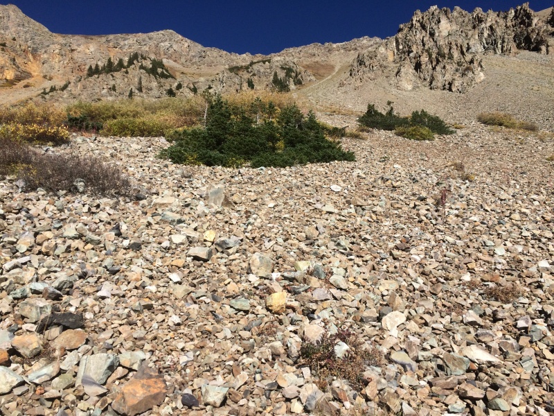
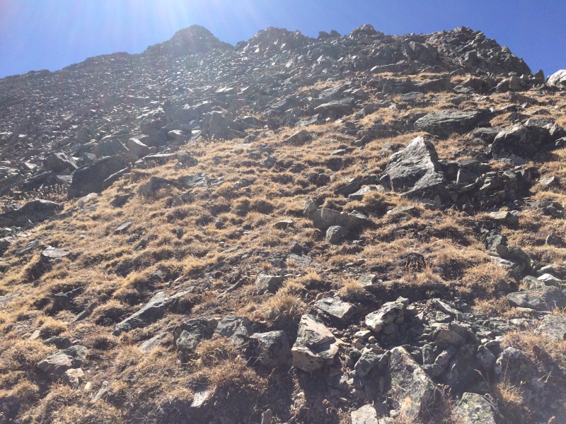
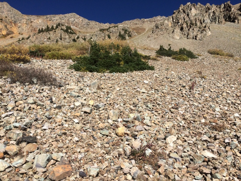
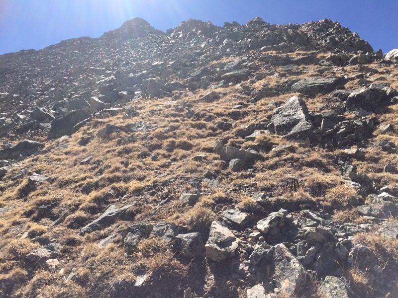
Looking up the talus from the same location as the previous photo. I went up the talus just right of center
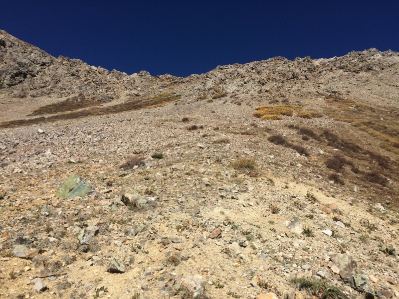
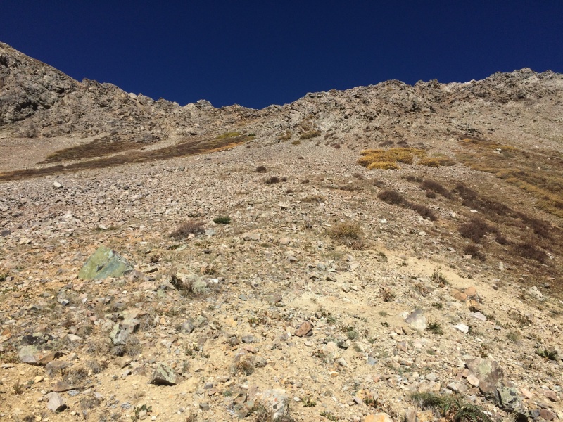
Almost to Hunter Peak's north ridge. This talus was infinitely more stable than what I found on V3 near Ophir earlier this month
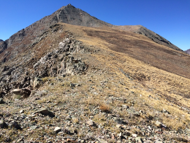
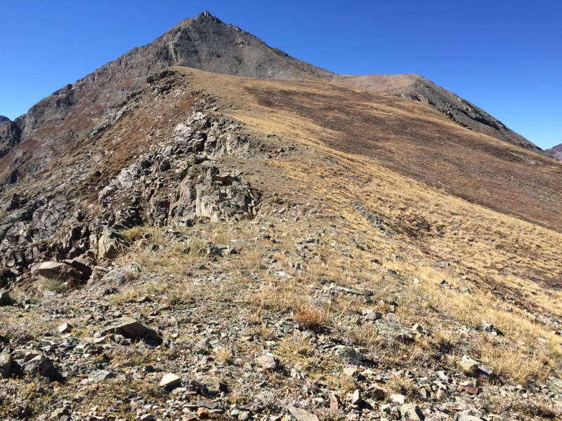
Looking south toward Hunter Peak from where I reached its north ridge. That is Hunter's false summit, as I would learn a few photos from now
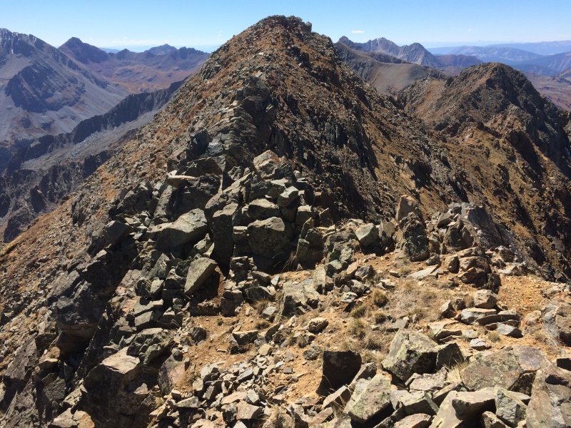
A closer look at Hunter Peak's mellow north ridge
Nearing what I thought was Hunter Peak's true summit...
...only to find it was a false summit. It was an easy ridge walk south to the true summit of Hunter Peak (13,497'). The ridge to Keefe Peak is visible to the right of the Hunter Peak's summit
I was definitely feeling the effects of fewer than five hours of sleep last night, so I spent close to an hour on the summit, enjoying energy bars and internet access. As promised by the National Weather Service, the weather would not be an issue today.
Rather than return the way I'd ascended, I headed south from Hunter's summit and then descended scree toward a drainage that reached Conundrum Creek about 1/2 mile north of Silver Dollar Pond. I'd hoped that I would have less bushwhacking through willows and young aspen than my ascent route, but that was not the case. Also, the footing was better on my ascent route.
Once back at the trail, I grabbed my backpack and headed north toward Silver Dollar Pond. As of 2018, a permit is required to camp between Silver Dollar Pond and Triangle Pass. I didn't have a permit, so I found a suitable campsite in the trees just NW of Silver Dollar Pond.
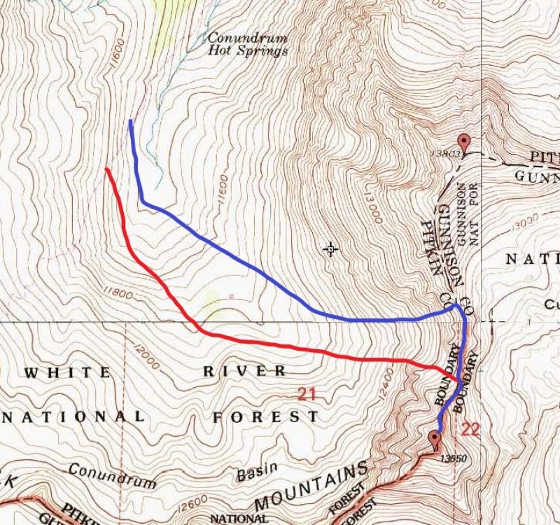
Blue = ascent route; red = descent route
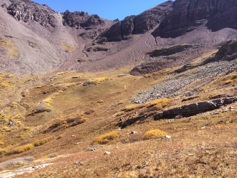
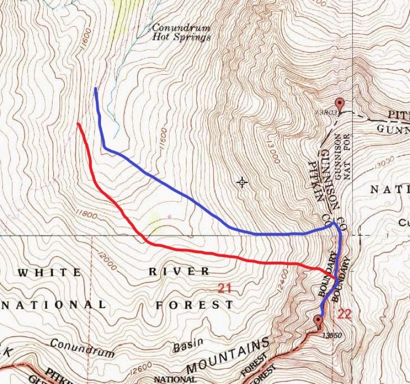
Saturday, Sept. 22, 2018. I headed south on the Conundrum Creek Trail to about 11,400', where I left the trail and headed east across the large basin west of today's goal, Unnamed 13,550'.
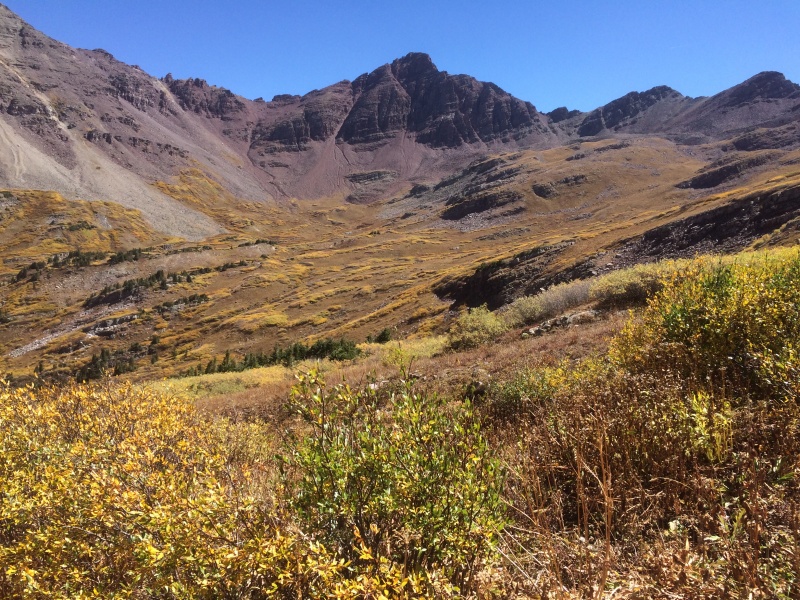
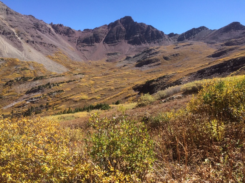
Unnamed 13,550' from the Conundrum Creek Trail above Conundrum Hot Springs. Plenty of willows to enjoy, but at least they were dry
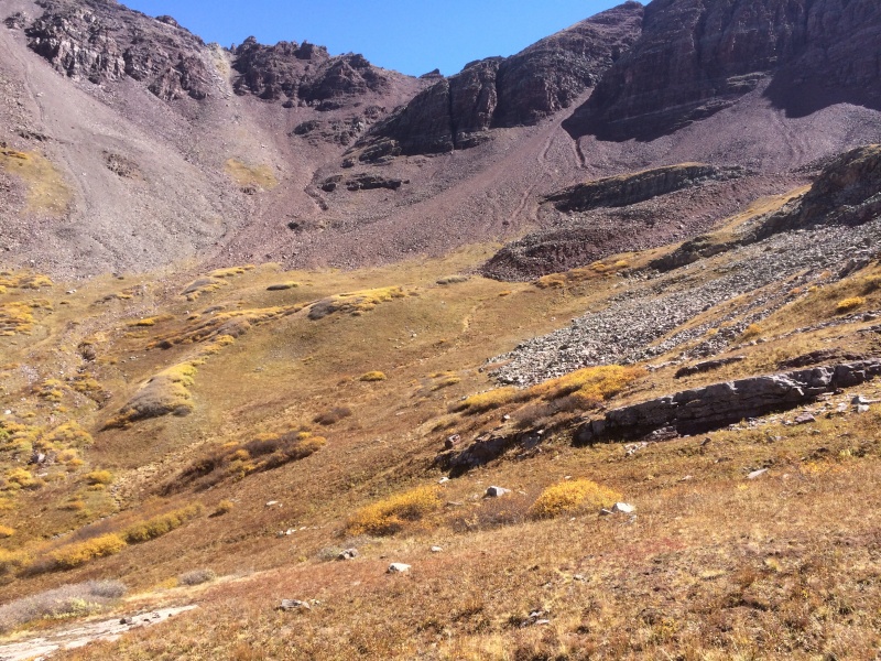
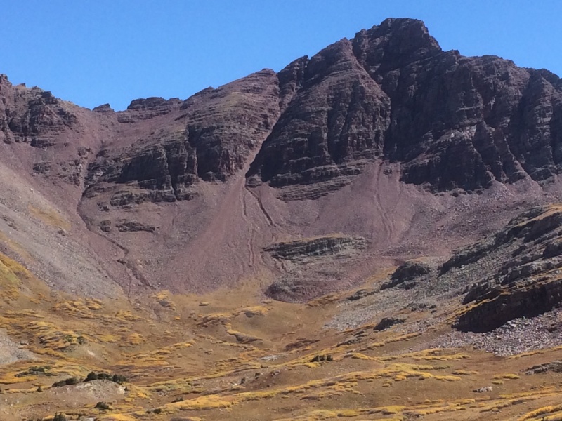
Where the scree gully splits about halfway to the ridge, I went left up the lighter rock because it looked less steep but descended the right branch with the darker rock. Either way will get you to the ridge
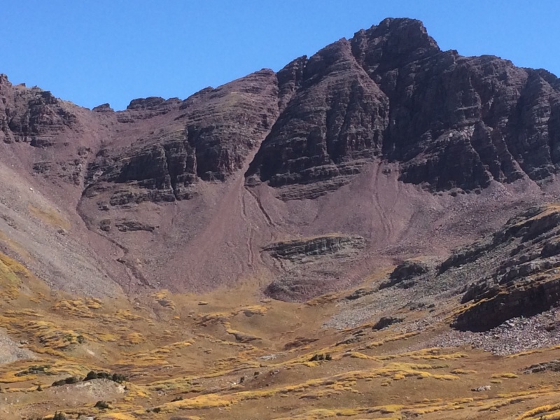
Unnamed 13,550' and a closer look at the descent gully that begins at the low point on north ridge of Unnamed 13,550'
Once on the ridge, I had to bypass a few towers and notches, sometimes to the east and sometimes to the west. It's generally obvious which way is easier.
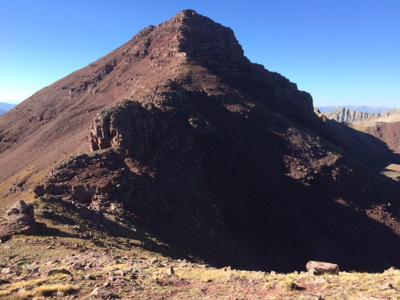
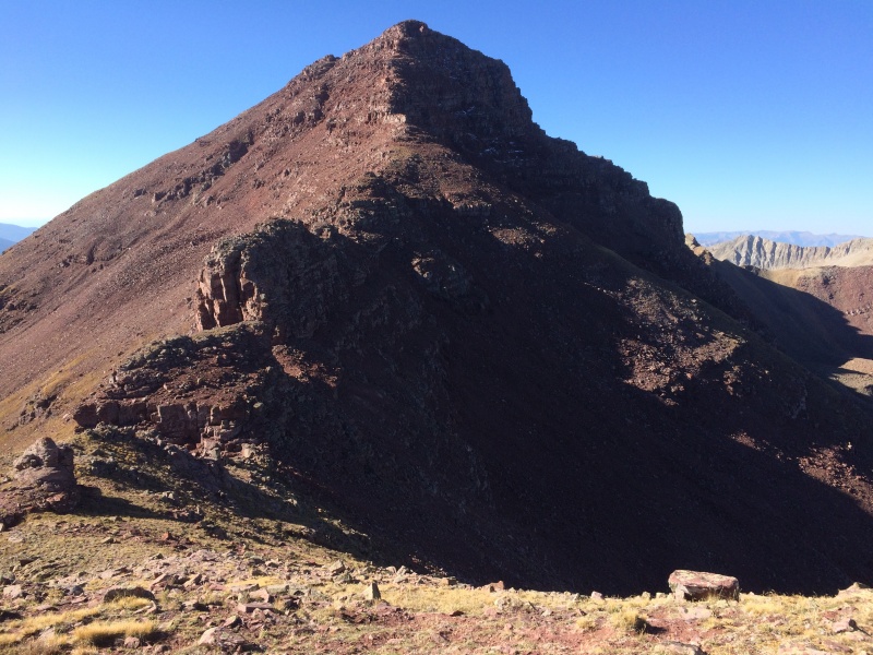
Looking south toward Unnamed 13,550', you can see a tower just left of center that I bypassed on the right (west)
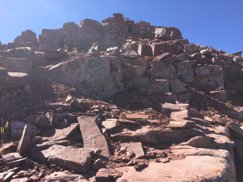
I stayed on the ridge as much as possible, though it would also be possible to traverse east and climb ledges on the NE face. I found the scrambling to be fun, despite the loose/rotten nature of the rock.
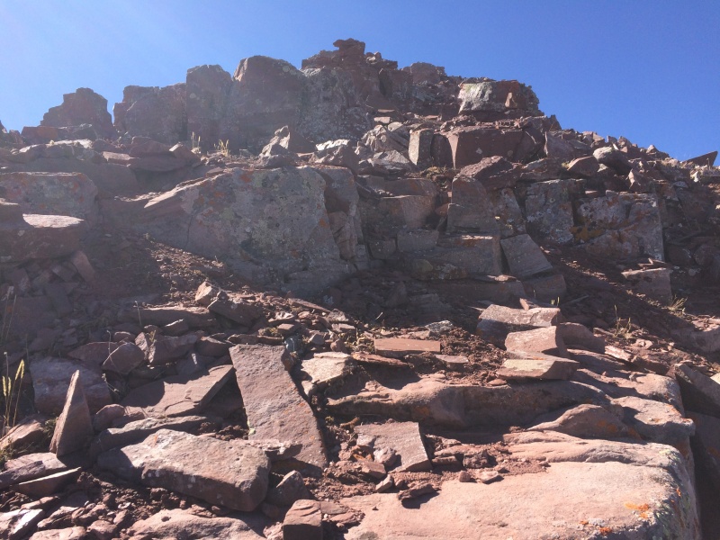
Almost to the summit, which is just beyond the high point you see here
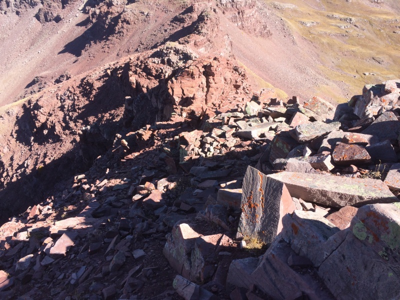
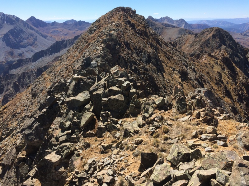
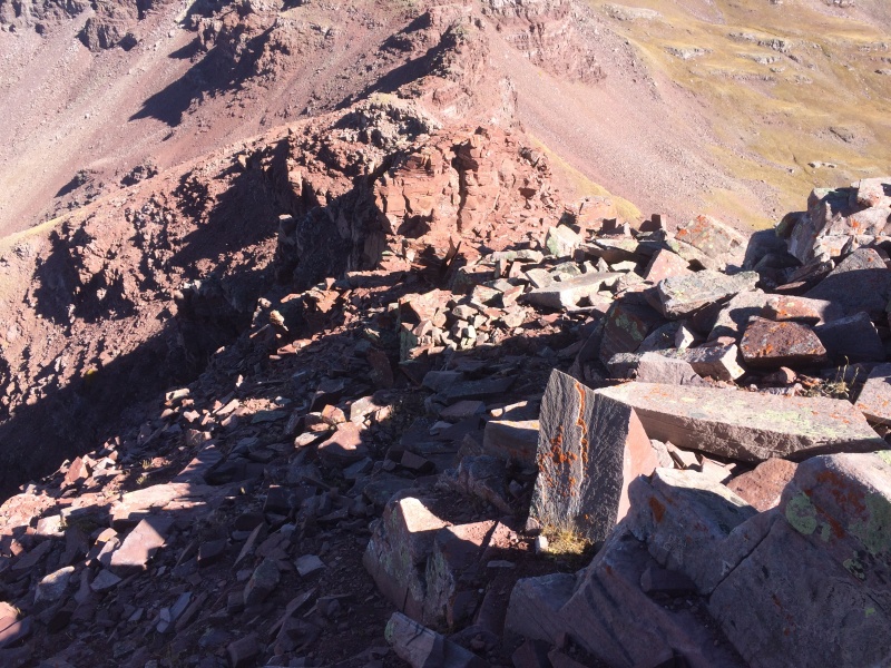
Looking north down the rugged ridge of Unnamed 13,550' from the same location as the previous photo
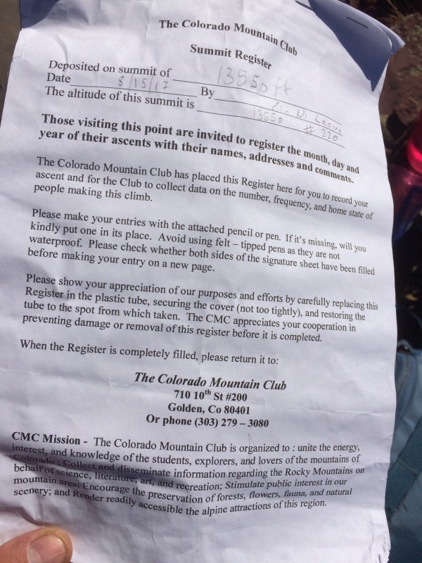
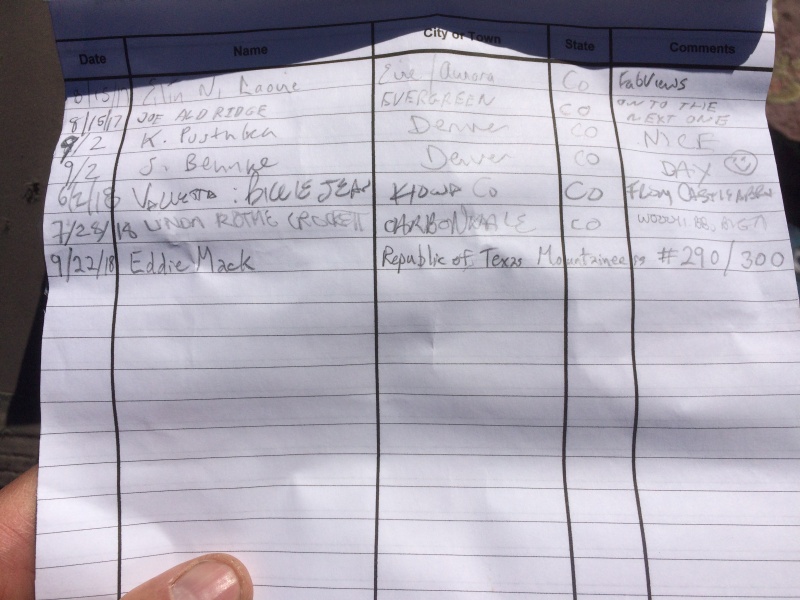
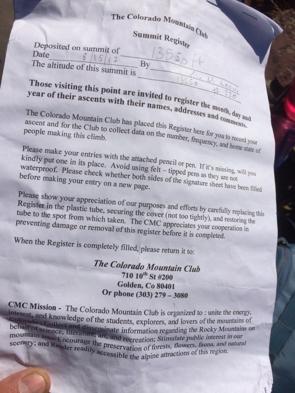
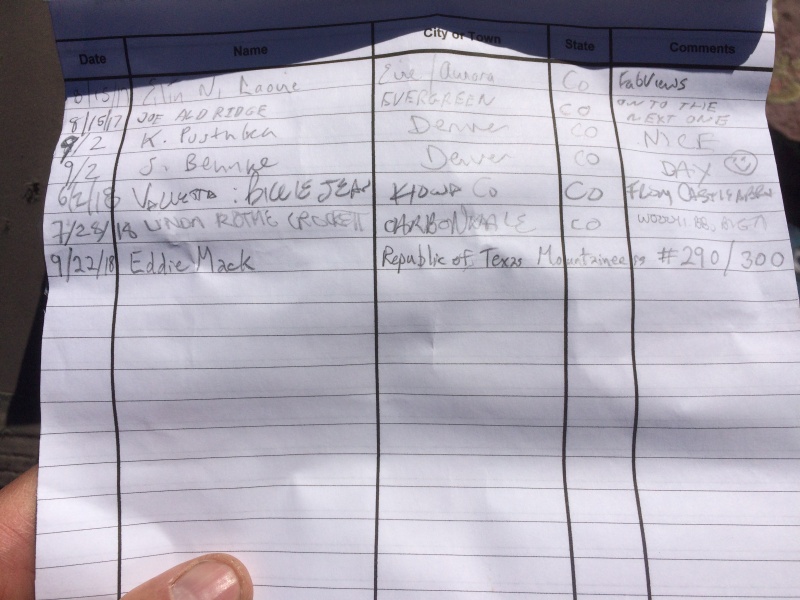
Upon reaching the summit, I was surprised to find a CMC summit register that had been placed in 2017 but not surprised to see that it didn't contain very many names over the past 13 months.
CMC summit register on Unnamed 13,550'
This apparently is not a very popular summit, and it is also no longer my highest unclimbed ranked Colorado summit
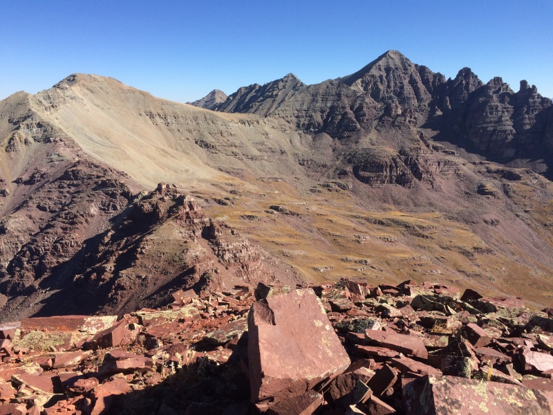
Looking NNE at "Castleabra" (13,803'), Conundrum Peak (14,022'), and Castle Peak (14,265') from the summit of Unnamed 13,550'
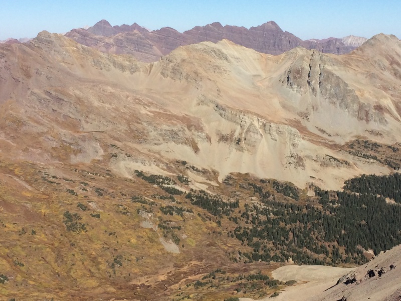
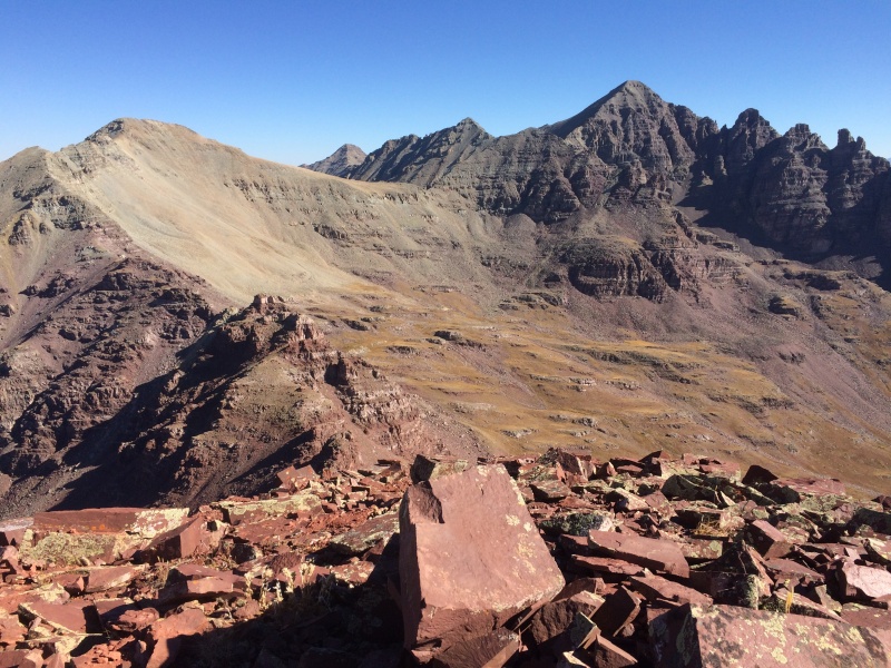
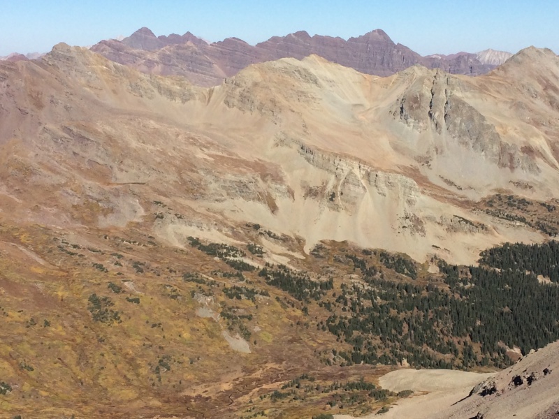
Looking west from the summit of Unnamed 13,550' toward Unnamed 13,631', "Lightning Pyramid" (13,722'), "Thunder Pyramid" (13,932), and Pyramid Peak (14,018')
After spending 45 minutes on the summit, I descended to the large basin west of Unnamed 13,550'. This time, I tried staying farther south in the basin in an ultimately futile attempt to minimize the willow bushwhacking. Eventually, it felt great to be on the Conundrum Creek Trail again, and I returned to my campsite and began backpacking to the trailhead.
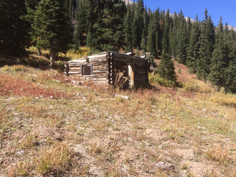
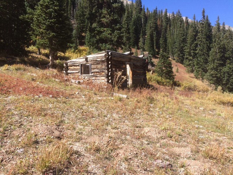
My 1960 USGS topo map identifies this old building near Conundrum Hot Springs as "Conundrum Guard Station."
The photos from this trip don't include any clouds, which is why the trip report title is "Every Month Should Be September." That, plus I recall Amy (blazintoes) making that comment a couple of years ago.
Blue = ascent route; red = descent route
Thumbnails for uploaded photos (click to open slideshow):
Comments or Questions
Caution: The information contained in this report may not be accurate and should not be the only resource used in preparation for your climb. Failure to have the necessary experience, physical conditioning, supplies or equipment can result in injury or death. 14ers.com and the author(s) of this report provide no warranties, either express or implied, that the information provided is accurate or reliable. By using the information provided, you agree to indemnify and hold harmless 14ers.com and the report author(s) with respect to any claims and demands against them, including any attorney fees and expenses. Please read the 14ers.com Safety and Disclaimer pages for more information.
Copyright: Route information, text, risk factors, maps, GPX files, charts, photos, 14ers.com-created map imagery, flythroughs, and other content provided in this route description are copyrighted by 14ers.com and may not be copied, reproduced, republished, distributed, modified, or used to create derivative works without prior written permission.
Please respect private property: 14ers.com supports the rights of private landowners to determine how and by whom their land will be used. In Colorado, it is your responsibility to determine if land is private and to obtain the appropriate permission before entering the property.