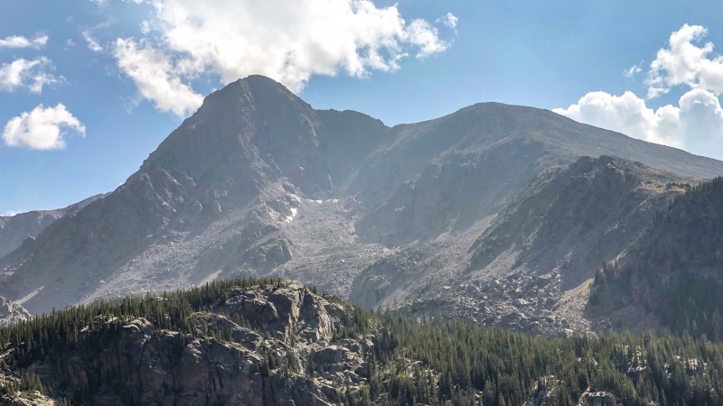
The Tigiwon road is passable by passanger car but rough. It took us about 45 minutes to drive it with a sedan. We left the trailhead about 430am. The Fall Creek Trail was down the hill maybe 50’ but we followed faint trail segments over to it (there is a real trailhead and such just below the parking lot). It was an easy trail and we didn’t have trouble finding the junction for Notch Mountain which turned to the right. There was a heavy fog at this time but not much precipitation. The great trail wound out of the trees as it progressed up the side. After the tree line the slope remained consistent and the trail switchbacked over 30 times (we counted 40 total after the junction).
The weather deteriorated with wind and it had started snowing. We continued our ascent and finally made it to the Notch Mountain Shelter - a welcome reprieve from the wind and snow. We waited about an hour and 45 minutes but the weather did eventually clear and looked like it would stay that way. When we reached the shelter the Mount of the Holy Cross was completely hidden by clouds. Visibility was not much more than 100 yards.
When the weather cleared we started over the ridge. It was 930am. The first section along the ridge was easy but had pretty big boulders. The views were really, really good.
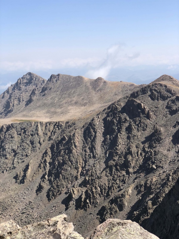
A look across the saddle to the second 13er:
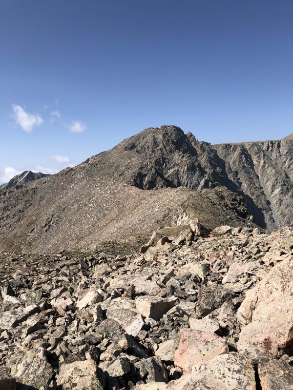
After the first peak - a view of the Mount of the Holy Cross Summit:
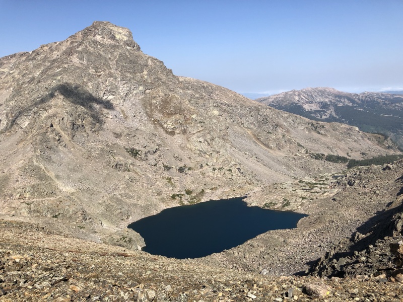
A closer view of the summit while ascending the final 13er:
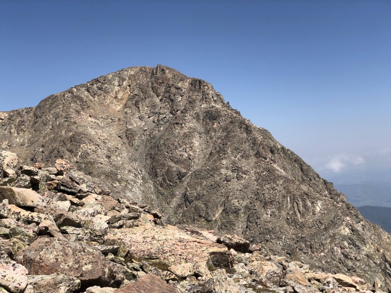
The route description here on 14ers.com was good, but honestly, we didn't spend a huge amount of time worrying about the specifics because the route seemed straightforward. The “crux” on the way to the second 13er was super fun - the best part of the trip. All the rock was stable and basically any route was a good route. The false summits on the last 13er were quite obvious, but it still didn’t seem to take long to summit it. This last 13er was certainly the most significant up/down climb of the 3 peaks. The boulders on the descent were big but it was still easy. I was surprised at just how short it was to the Holy Cross summit after that 13er. There were trail segments and cairns we roughly followed to the summit after the saddle and we summited Mount of the Holy Cross at 130pm.
A look back at the shelter:
The Mount of the Holy Cross has a perfect rock for picture ops. The views up there are spectacular and it was rewarding to see the Notch Mountain Shelter on the other side. We took the standard route down and it was well marked, had tons of good steps, was super pretty, and overall fun. We refilled water at the stream and then went up to Half Moon Pass. Once again, views were terrific. The pass was easy with only maybe 6-7 steep switchbacks. Going up was a nice change and I didn’t mind the 1000’ climb at all.
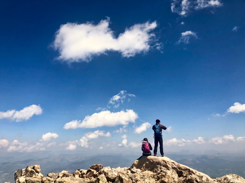
Impromptu photo of 2 of us on the summit:
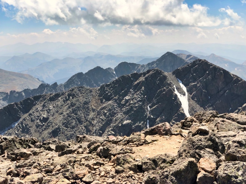
Looking back from the summit towards the last and tallest 13er - those false summits are a distinguishing feature of the mountain even from significant distance:
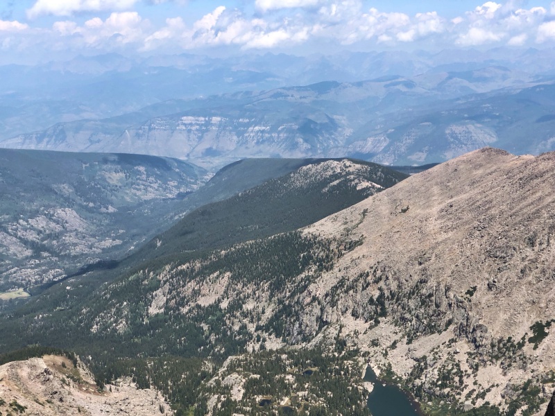
A look from the summit towards Half Moon Pass (parts of the trail were visible from the summit):
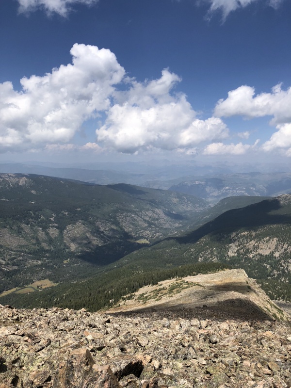
A look down the ridge during the descent:
We arrived back at the trailhead at 5:15pm. So there were about 10 hours of hiking (subtracting the 1hr 45min pause in the shelter). It took us about 4 hours to cross the ridge and I tracked 3 miles. It took longer than I expected. The three of us are from Kansas City area and in our lower 20s and pretty fit. If you are lighter on your feet, you could certainly shave time off - one in our group wasn't too fast going between the boulders. I tracked an overall trip elevation gain of 5800’.
This is the most beautiful mountain in the Sawatch range in my opinion. The Halo Ridge is terrific. Due to the quantity of large boulders, it is pretty strenuous. Don’t underestimate the distance. It’s a lot of ridge work, but route finding is easy and I didn't notice exposure. I would say this route is similar to the Harvard and Columbia traverse.
A great view of the mountain while ascending Half Moon Pass:
