| Report Type | Full |
| Peak(s) |
Wilson Peak - 14,021 feet El Diente Peak - 14,175 feet Mt. Wilson - 14,256 feet |
| Date Posted | 08/22/2018 |
| Date Climbed | 07/05/2018 |
| Author | Stiffler_from_Denver |
| Additional Members | Exiled Michigander, Stiffler_from_Denver, JacerJack |
| Wilson Group from Two Basins |
|---|
|
Ascent party: Stiffler_from_Denver; Exiled Michigander; JacerJack Itinerary: Day 1: Parked one car at Navajo Lake Trailhead then shuttled to Kilpacker Trailhead and began hiking into Kilpacker Basin at 6:30pm. Hiked 3 miles into Kilpacker basin and set up camp around 10,500 feet elevation. Day 2: Left camp at 4:45am and summited El Diente via the South Slopes at 9:00am then traversed across to Mt. Wilson and summited at 12:10pm. Next headed back to camp, napped, broke camp and hiked 6 more miles back out Kilpacker and into Navajo Basin and set up camp about ½ mile from Navajo Lake at elevation 11,200. Day 3: Left camp around 4:30am and summited Wilson Peak via the Standard Southwest Ridge Route at 9:01am. Down climbed, broke camp, and packed back to the Navajo Trailhead and drank a cold Coors Lite then shuttled back to Kilpacker TH to pick up other truck. Tips about this Itinerary: Kilpacker TH starts about 900 feet higher than Navajo TH which was possible because we had two cars. There’s a nice trail connecting Kilpacker to Navajo that isn’t obvious on the 14er.com routes The El Diente to Mt. Wilson Traverse takes about 3 hours making sure you have good weather. The Traverse wasn’t that bad; the toughest moves of the traverse from El Diente to Mt. Wilson was the last 30 minutes of climbing near Mt. Wilson’s summit. There are no flat camp spots in the Navajo Basin until you get near Navajo Lake. We had planned to camp earlier but had to push with heavy packs to get to camp spots near Navajo Lake. After gaining the saddle between Gladstone and Wilson Peak, drop the 100 feet and pass under the class 3 ledges. We traversed the ledges on the ascend and wished we hadn't. The view of the remaining climb from the false summit of Wilson Peak is really intimidating but wasn’t nearly as bad as it looks once you got to it. The view from the false summit is aery and gave the same reaction to everyone we talked to: “dang that looks tough.” Bagging all 3 peaks this way requires you to move camp but allows you to avoid descending/ascending El Diente’s North Slopes/North Buttress route. The Trip Report: These 3 peaks were my 49th,50th, and 51st 14ers. After we left the 2nd truck at the Navajo Lake Trailhead and shuttled back to the Kilpacker Trailhead, we began hiking around 6:30pm on July 4th. We decided to hike into Kilpacker first and do the traverse on the 2nd day because the weather looked best for the traverse on the 2nd day. (We had originally planned to hike into Navajo Lake on the first day and do Wilson Peak first before hiking into Kilpacker and doing El Diente and Mt. Wilson). 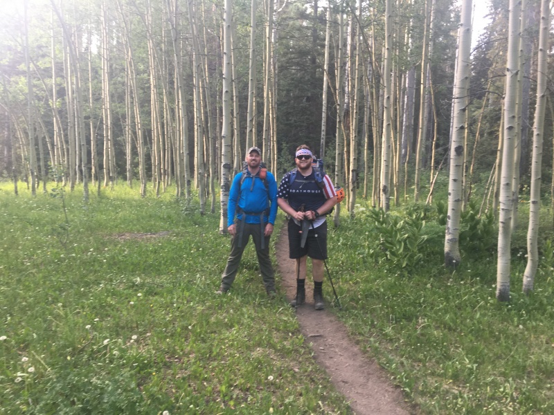 After about 2 miles of easy hiking you get great views of El Diente. I would highly recommend this approach for beginning over-night backpackers because it isn’t much elevation gain and you get great views of the tooth. 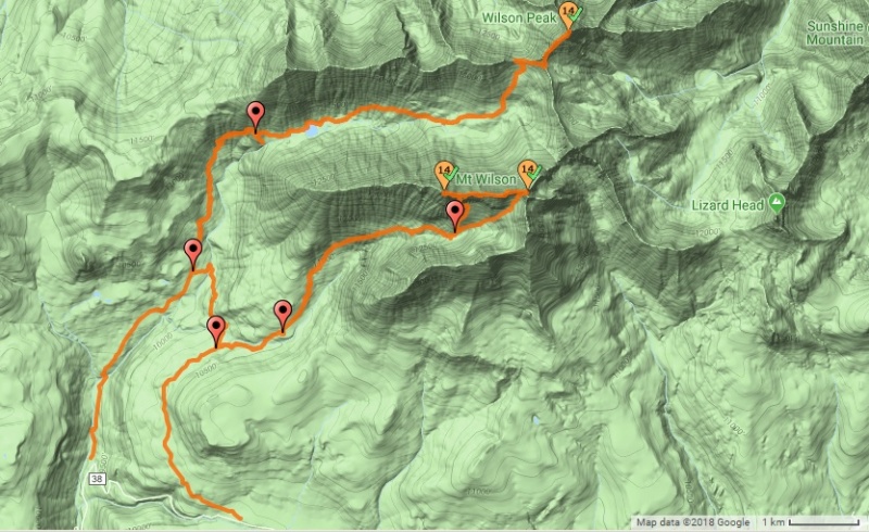 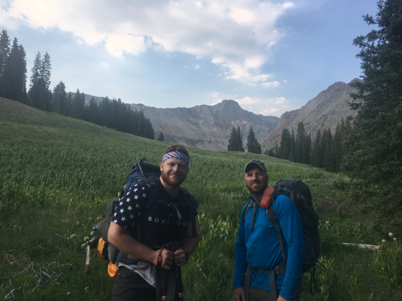 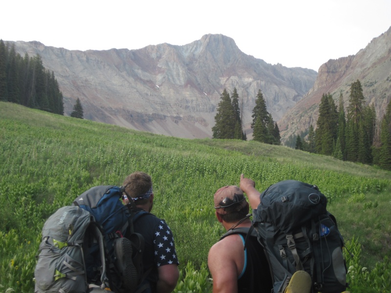 We awoke around 4:00am to make coffee and oatmeal. We hit the trail around 4:45am. The first hour we could really taste/smell the smoke from the wildfires burning near Durango. Fortunately above treeline the winds changed and we didn’t have to deal with the wildfire smoke the rest of the day. The hike up the south slopes of El Diente wasn’t bad at all. It required a few class 3 scrambling moves. 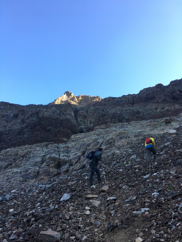 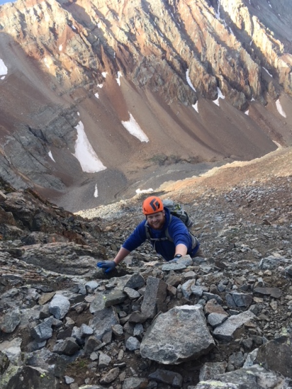 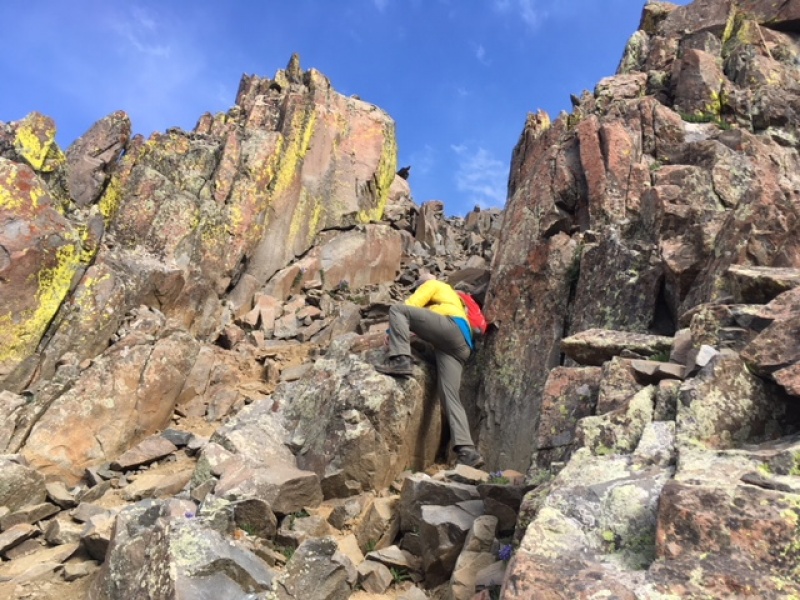 Once you gain the ridge, you cross over and finish the route on the other side which gives you amazing views of Wilson Peak. 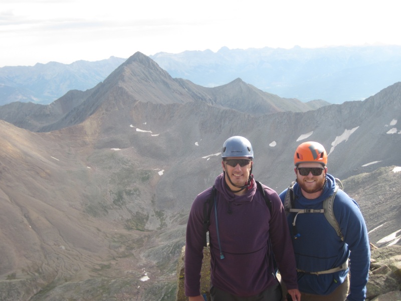 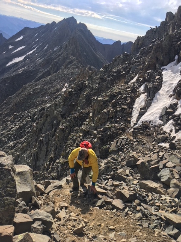 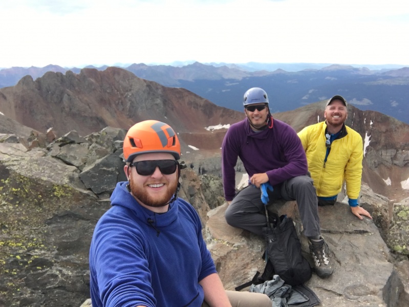 We hit the first summit of the day at 9:00am and began our traverse to Mt. Wilson around 9:25am. 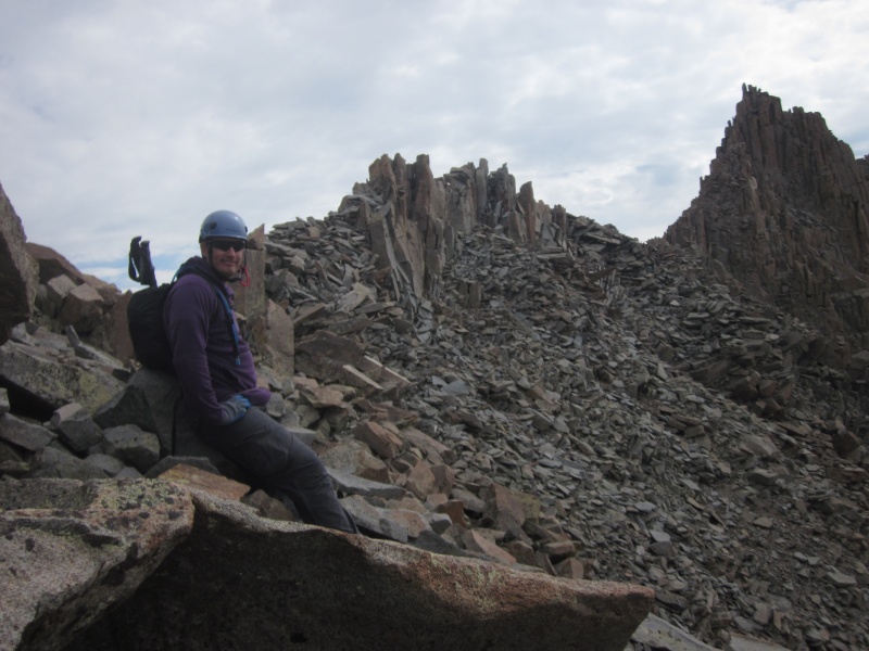 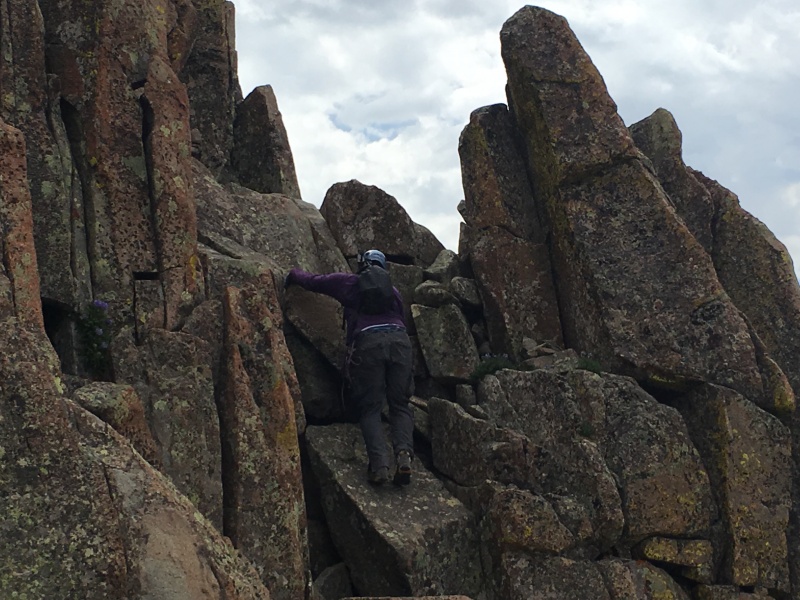 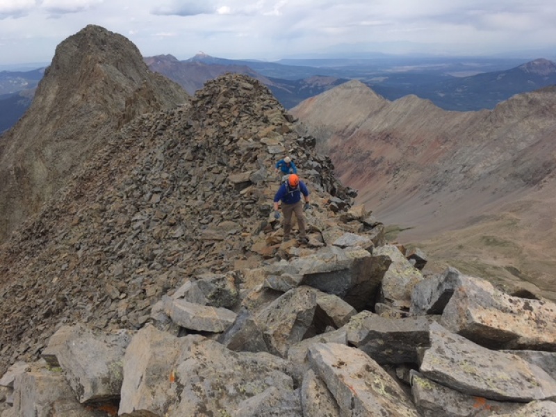 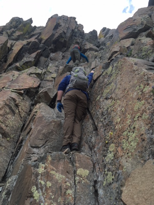 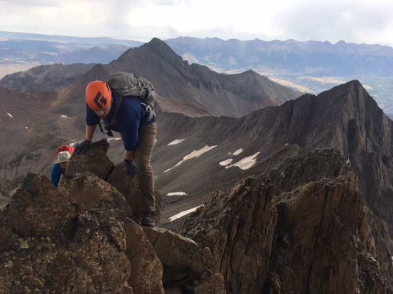 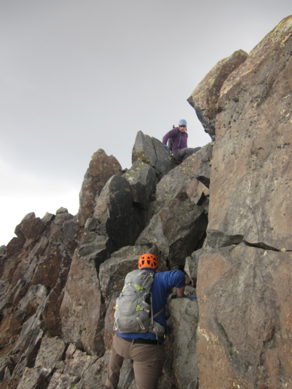 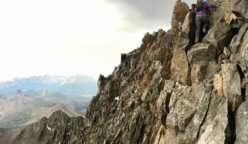 We reached the summit at 12:10pm; so it took us just shy of 3 hours to do the traverse. We didn't get any summit photos on top of Mt. Wilson because as soon as we reached the summit, we heard the crackling of static electricity building on the rocks around us warning us of the thunderstorm building overhead. This was one of the most frightening experiences I have had on a mountain. I threw my metal trekking poles down and we quickly scurried down the gully. 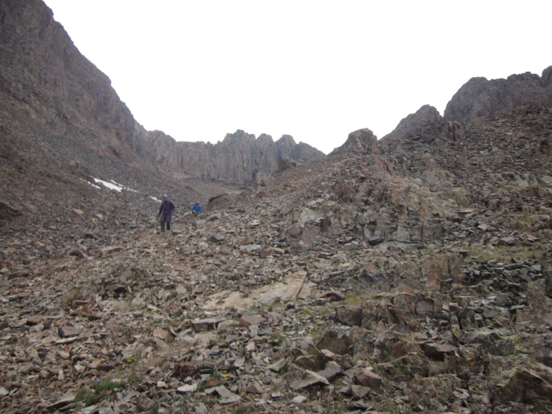 It wasn't till we were back around 12,500 feet before we could breathe a sigh of relief having dodged any lightning. 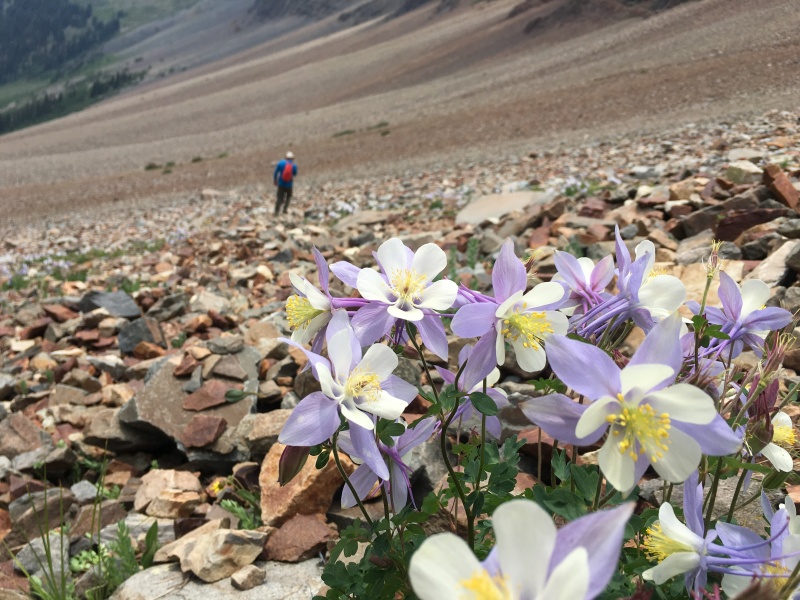 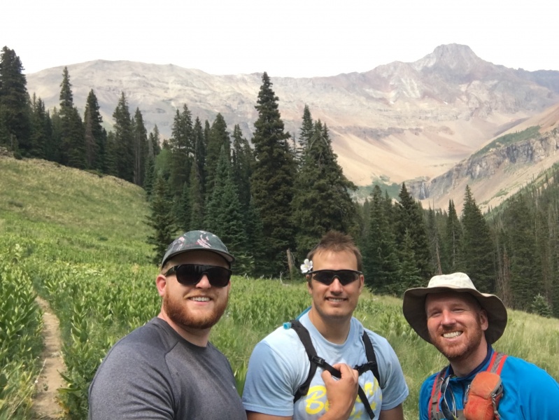 We took a nap in our tents as the afternoon thunderstorms rolled in. Then we broke camp and hiked the connecting trail from Kilpacker into Navajo Basin and camped just shy of Navajo Lake. Those 6 miles moving camp after a long day of hiking was the low point of the trip. We made camp in the dark around 9:15pm and after a dehydrated meal we all felt better. DAY TWO We were blessed with beautiful/clear weather at 4am. Seeing the bright stars shining after sleeping through rain all night really boosted our spirits. We hiked by headlamp light and sterilized water from Navajo Lake. Along the way you run into remnants of old mines. 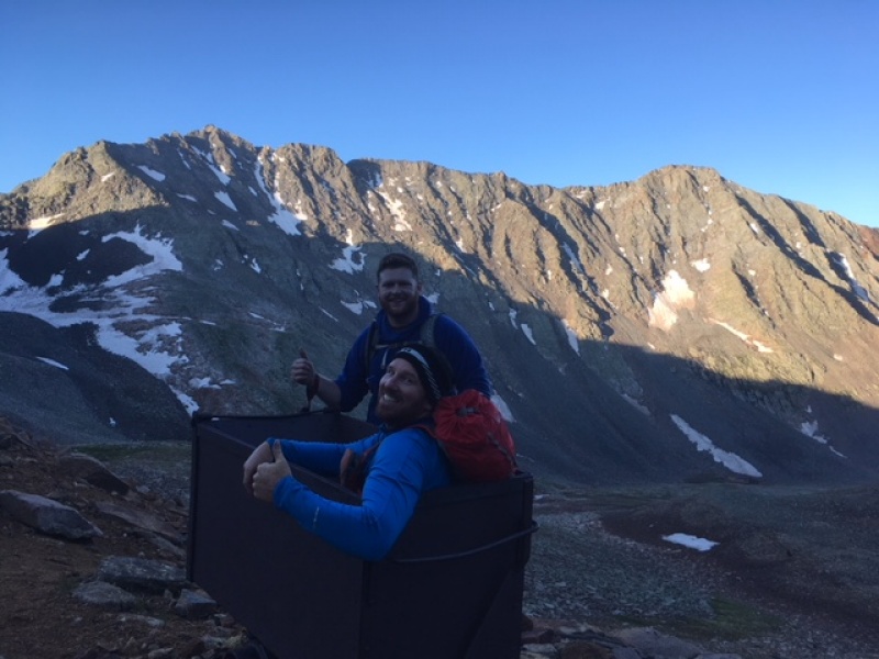 Once we reached the saddle between Gladstone and Wilson Peak we opted to cross the class 3 ledge section. We can into some sketchy moves on the slabs with some exposure. On the descent we opted to drop below these ledges. This caused us to have to regain about 100 feet, but it was well worth it. 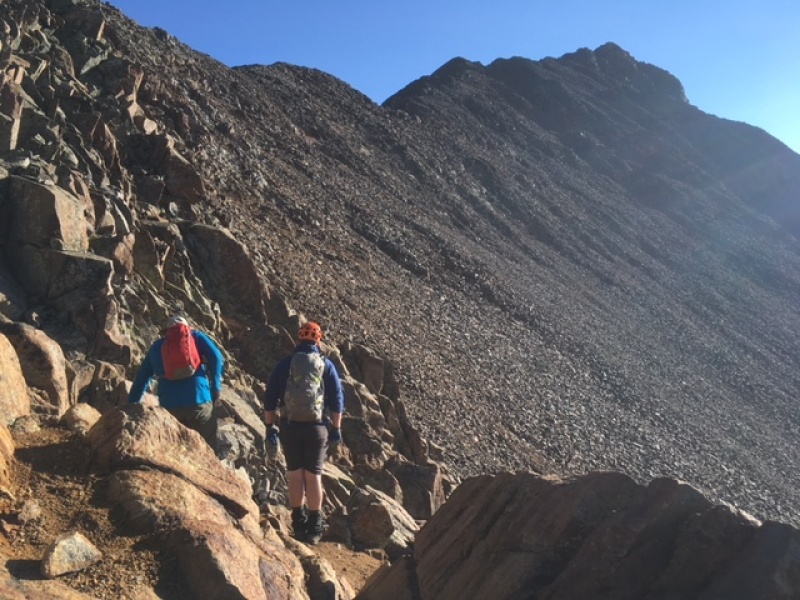 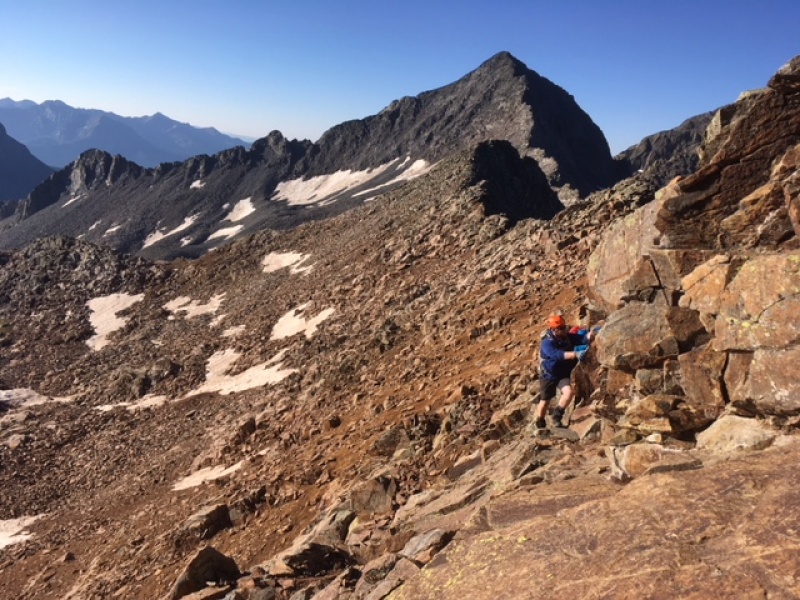 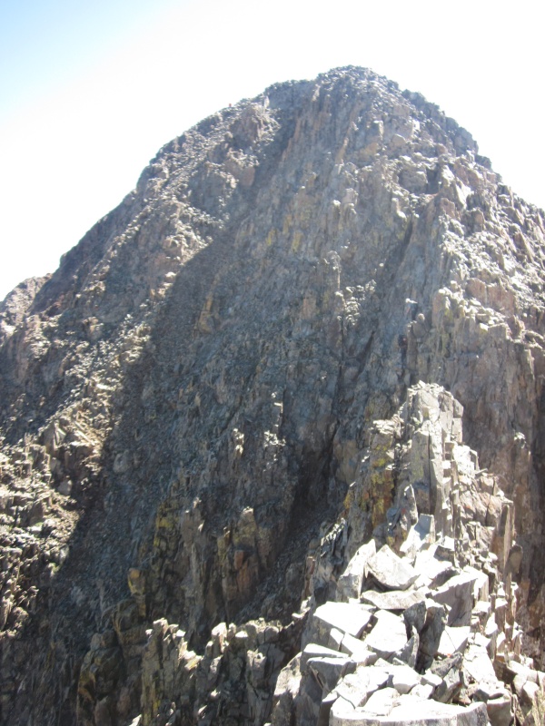 We thought the down climb to get in position for the crux part of Wilson Peak's summit was pretty loose and dangerous. We slowing took our time on this section. 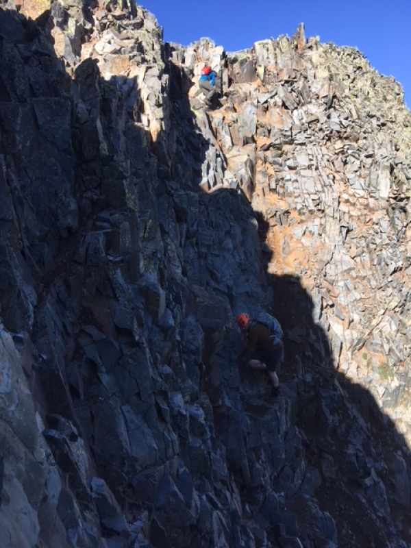 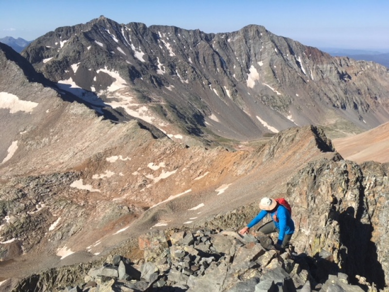 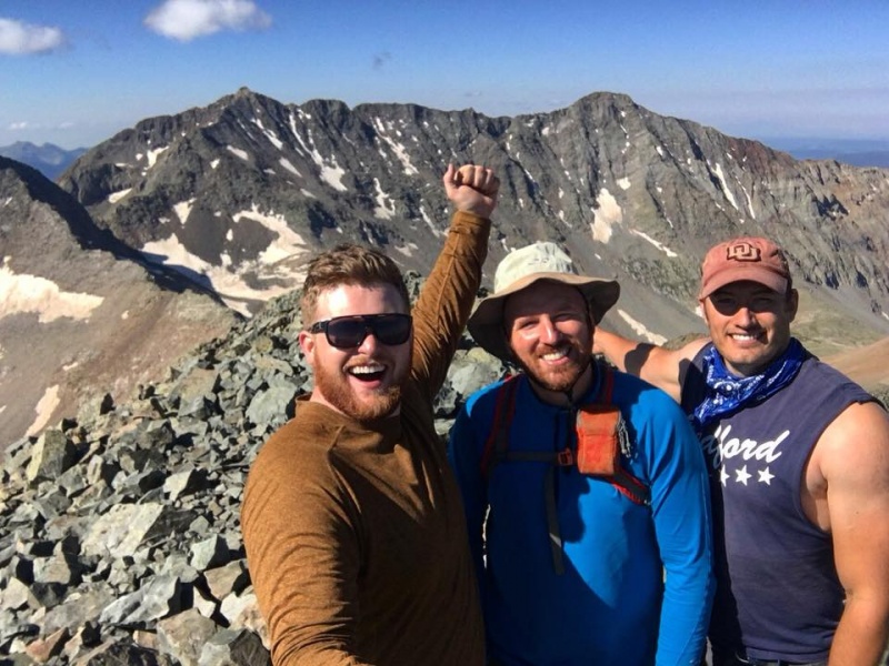 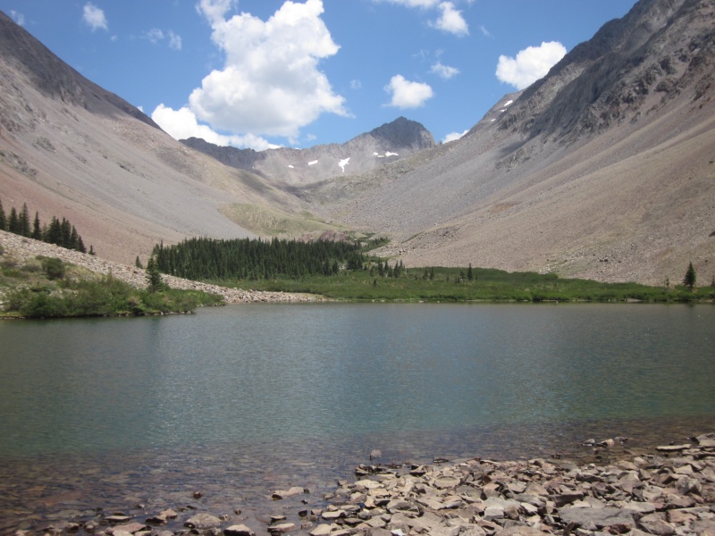 We got back to camp by Navajo Lake, broke camp and headed down the trail to the truck at Navajo Lake TH filled with Coors Lite to celebrate. Then we shuttled back to Kilpacker, got the 2nd truck and made our way to Smugglers Brewery in Telluride. Thumbnails for uploaded photos (click to open slideshow): ")
")
")
")
")
")
")
")
")
")
")
")
")
")
")
")
")
")
")
")
")
")
")
")
")
")
")
")
")
|
| Comments or Questions |
|---|
|
|
Caution: The information contained in this report may not be accurate and should not be the only resource used in preparation for your climb. Failure to have the necessary experience, physical conditioning, supplies or equipment can result in injury or death. 14ers.com and the author(s) of this report provide no warranties, either express or implied, that the information provided is accurate or reliable. By using the information provided, you agree to indemnify and hold harmless 14ers.com and the report author(s) with respect to any claims and demands against them, including any attorney fees and expenses. Please read the 14ers.com Safety and Disclaimer pages for more information.
Please respect private property: 14ers.com supports the rights of private landowners to determine how and by whom their land will be used. In Colorado, it is your responsibility to determine if land is private and to obtain the appropriate permission before entering the property.

