Download Agreement, Release, and Acknowledgement of Risk:
You (the person requesting this file download) fully understand mountain climbing ("Activity") involves risks and dangers of serious bodily injury, including permanent disability, paralysis, and death ("Risks") and you fully accept and assume all such risks and all responsibility for losses, costs, and damages you incur as a result of your participation in this Activity.
You acknowledge that information in the file you have chosen to download may not be accurate and may contain errors. You agree to assume all risks when using this information and agree to release and discharge 14ers.com, 14ers Inc. and the author(s) of such information (collectively, the "Released Parties").
You hereby discharge the Released Parties from all damages, actions, claims and liabilities of any nature, specifically including, but not limited to, damages, actions, claims and liabilities arising from or related to the negligence of the Released Parties. You further agree to indemnify, hold harmless and defend 14ers.com, 14ers Inc. and each of the other Released Parties from and against any loss, damage, liability and expense, including costs and attorney fees, incurred by 14ers.com, 14ers Inc. or any of the other Released Parties as a result of you using information provided on the 14ers.com or 14ers Inc. websites.
You have read this agreement, fully understand its terms and intend it to be a complete and unconditional release of all liability to the greatest extent allowed by law and agree that if any portion of this agreement is held to be invalid the balance, notwithstanding, shall continue in full force and effect.
By clicking "OK" you agree to these terms. If you DO NOT agree, click "Cancel"...
I turned off the Mosquito Pass Road onto the road that goes up South Mosquito Creek (Park County Road 696). I drove through an open gate not long after that turnoff. I wasn't certain about a fork in the road, and stopped to look at my map. While I did, a man ran us down in his Mercedez SUV. He'd been in the trailer near the gate that we passed.
He accused me of trespassing, and asked what we were doing there. I explained that I believed we were on a public road, and while I saw the no trespassing signs, I thought the signs referred to the land on either side of the road, land which I had no intent of entering. I detailed my plans to drive up to American Flats and hike Pennsylvania Mountain with my girls.
On the whole, he was pretty reasonable about things -- I think having my kids in the car helped -- and he ultimately permitted us to hike. But I'm frankly confused about how someone can take over, and claim as private, a longstanding, public right-of-way. Apparently this has been a source of contention with at least one claim-holder:
"I discovered that the newest operators of London Mine constructed a gate across Park County Road 696. They attempted to deny access to my family's claim and went so far as to threaten trespassing charges if we used the road. I then worked with several County, State and Federal entities to re-open the road for the historical public access. By November 2017, the roadway was again opened to public travel upon Park County Road 696 and USFS Road 696 going up London Mountain just as it has since 1876."
After our hike, the man had locked his gate, and he unlocked it to let us out.
I stopped by the Park County Sheriff's office on the way back to Denver, and the officer there stated that the road was a weird mix of public and private. Why in the world does Park County conduct maintenance on a private road? None of this makes sense to me.
Another question occured to me: what's to stop someone from entering American Flats from the Mosquito Pass Road and descending to his gate? Are they then stuck if he's not present, with no option but to turn around and head back up?
I chose this route because I was aware of the private property issues with a Sacramento Creek approach. If I were to do this again, I'd simply use the Mosquito Pass Road or the Pika Trail (https://www.savetheland.org/pennsylvania-mtn) and avoid the BS with this public road squatter.
----------
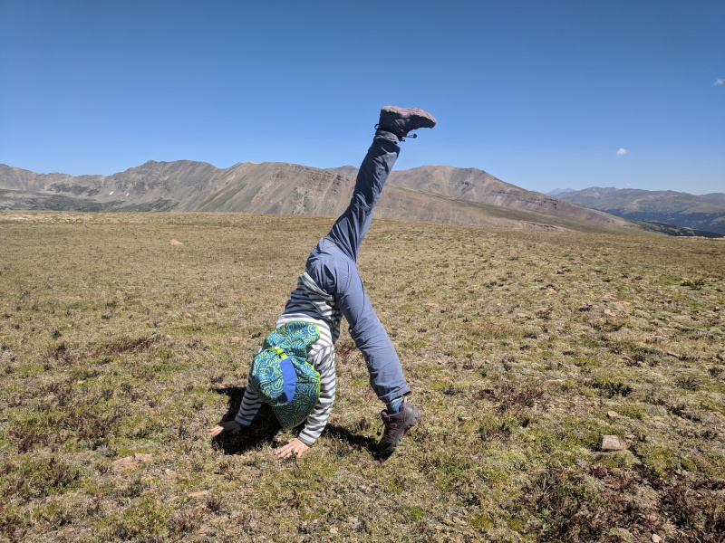
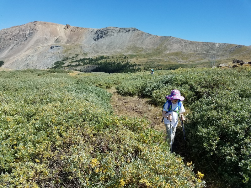
Regarding the hike itself, I took a bad line on the ascent and we had to bushwhack through willows. Infinitely superior was our descent line, during which I avoided all bushwhacking, though we did walk through one open area that had been muddy earlier in the season but was dry for us. Overall, this was a very pleasant hike, and a good choice with my young girls. The wide open, grassy summit gave them a unique opportunity to do some cartwheels above 13,000-feet!
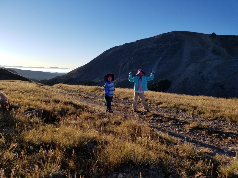
Ready to go!
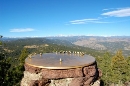
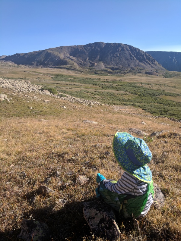
An early morning rest stop
Scarlett, mid-cartwheel, atop Pennsylvania Mtn
Much easier on the way out
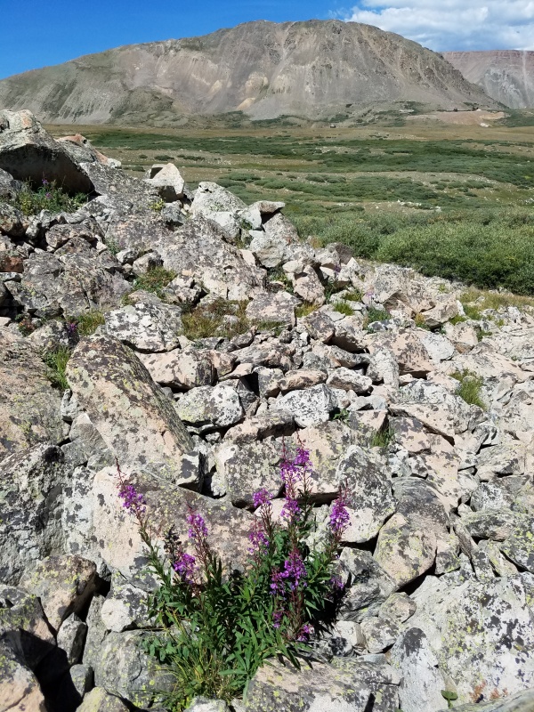
Late-blooming fireweed, with London Mountain behind
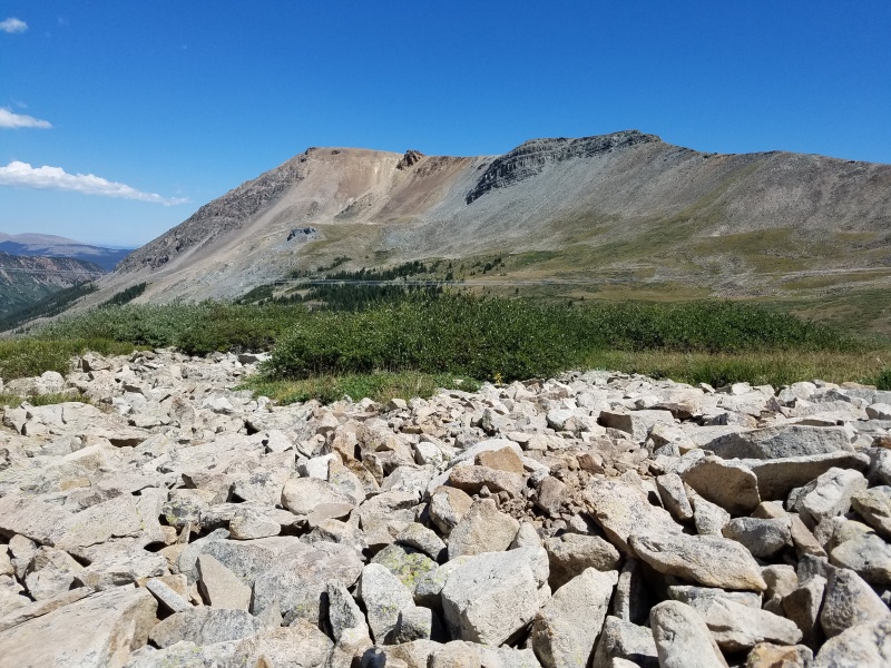
Pennsylvania Mountain
My GPS Tracks on Google Maps (made from a .GPX file upload):
What a wild situation. When I skied Pennsylvania we started at the TH off Mountain View road in the Valley of the Sun subdivision. I've also hike the mountain from that TH as well so not sure what's going on with the other side. As a dad with 2 young girls, I'm just glad nothing escalated with them in the vehicle. Right on for getting them out!
TH off Mountain View road in the Valley of the Sun 8/12/2018 11:40am
I'm curious, does that TH provide public access, or is it just for residents of the subdivision?
A funny addendum, since you mentioned your two girls. The guy who stopped us had two young girls himself. They were both riding bikes near the trailer and gate as we were trying to leave. While the man unlocked the gate, one of them rode up to my window and shouted haughtily, "You're on private property!" :lol:
I came across the private/public dispute when researching about this mountain. Next time, try the Pika trail. Very good trail and family friendly trail and avoids all the property ownership conflicts.
I'm not a lawyer, nor do I play one on TV, but here's my guess as to what's happening. Almost certainly, the road does cross private property. OTOH, since the road has been designated a county road and was apparently open to the public for a long time, it's very likely that a court would rule that the county has an easement to use the road. However, unless the county, or a private citizen impacted by the closure takes the owner to court, and gets a ruling, and an order to the property owner, he will persist in his efforts to close the road. Of course suing him will be a fairly expensive proposition.
Alternatively, the county could say, since this is no longer a public road, we just won't maintain it or plow it in the winter, at which point the owner will likely scream about how badly he's being treated. Also, I don't know who else in the area would be impacted by that course of action. It should be noted that much of Colorado, especially in areas that had a lot of mining activity, there is a mish-mash of private and public land ownership, and many roads that access public property cross private land. Also, there are many "inholdings", i.e., land that, though within a National Forest boundary, is under private ownership. Every so often, an owner decides to keep the public off of one of these roads, sometimes successfully, sometimes not.
So I had the exact same issue in 2017, I was going to do Mt Evans B and Pennsylvania from that side. Google maps does show the Co Rd going farther then it does on the park county official property map. Considering the gate had the sheriffs number on it, and invited you to call them, I think the property owner feels pretty certain its private past the gate.
The question is where the co rd 696 officially ends, and where it becomes private roads.
Mountain View road ends at FS land. There is a huge lot and no one owns the propery at the end of the road. Park County has a website that shows all private/public land and the boundary lines.
Caution: The information contained in this report may not be accurate and should not be the only resource used in preparation for your climb. Failure to have the necessary experience, physical conditioning, supplies or equipment can result in injury or death. 14ers.com and the author(s) of this report provide no warranties, either express or implied, that the information provided is accurate or reliable. By using the information provided, you agree to indemnify and hold harmless 14ers.com and the report author(s) with respect to any claims and demands against them, including any attorney fees and expenses. Please read the 14ers.com Safety and Disclaimer pages for more information.
Please respect private property: 14ers.com supports the rights of private landowners to determine how and by whom their land will be used. In Colorado, it is your responsibility to determine if land is private and to obtain the appropriate permission before entering the property.
")
")
")
")
")
")