| Report Type | Full |
| Peak(s) |
Organ Mountain - 13,808 feet Electric Peak - 13,618 feet Lakes Peak - 13,384 feet Cottonwood Peak - 13,597 feet Unnamed 13128 - 13,128 feet |
| Date Posted | 08/06/2018 |
| Modified | 10/17/2018 |
| Date Climbed | 08/04/2018 |
| Author | Mtnman200 |
| Additional Members | rijaca, d_baker, RandyMack |
| Miles From Nowhere |
|---|
|
Randy and I had made plans for Organ Mountain (near San Luis Peak) and Electric Peak and Cottonwood Peak in the Sangre de Cristos when I received an email from Darin (d_baker) inquiring about doing a climb together, possibly with Ricky (rijaca) as well. Darin and I had exchanged messages, emails, and forum comments over the past few years, occasionally trolling each other in the process, but had never met. Because Darin hadn't done Cottonwood Peak yet, Randy and I made plans to meet up with Darin and Ricky after our climbs of Organ Mountain and Electric Peak. Wednesday, Aug. 1, 2018 Randy and I left our home and headed to the southern parking area of the Eddiesville Trailhead. Getting to this trailhead requires driving 28 miles on unpaved roads, but the roads are easily passable by passenger cars. Several approaches exist for Organ Mountain, and we settled on taking the lesser-known Canon Hondo Trail. When we reached the Eddiesville Trailhead, we had the place to ourselves except for someone's partially assembled tent in the parking lot. After we cooked dinner and headed into our tent, the owners of the other tent arrived, packed up their tent, and drove off in a Honda Accord. It felt like we were miles from nowhere, especially with the occasional coyote howling during the night. Thursday, Aug. 2, 2018 We'd had the foresight to locate the start of the unmaintained Canon Hondo Trail the previous evening, and it was actually very easy to find. Take the Continental Divide Trail/Colorado Trail as heads WSW adjacent to a fence for a couple hundred feet. Shortly after the CD/Colorado Trail makes a sharp left turn to the SSE, a cairn containing a post indicates where the Canon Hondo trail angles off to the right (SW). The trail stays on the north side of the creek to timberline where it fizzles out at about 11,900', but you don't need a trail above timberline. 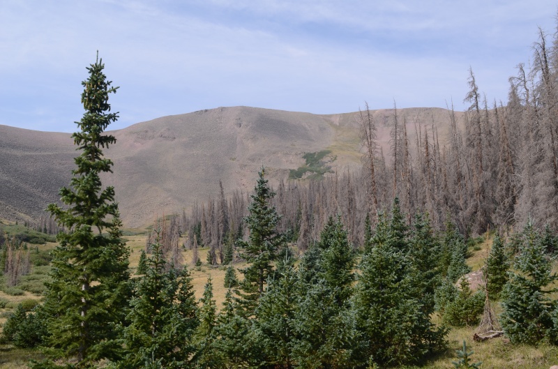 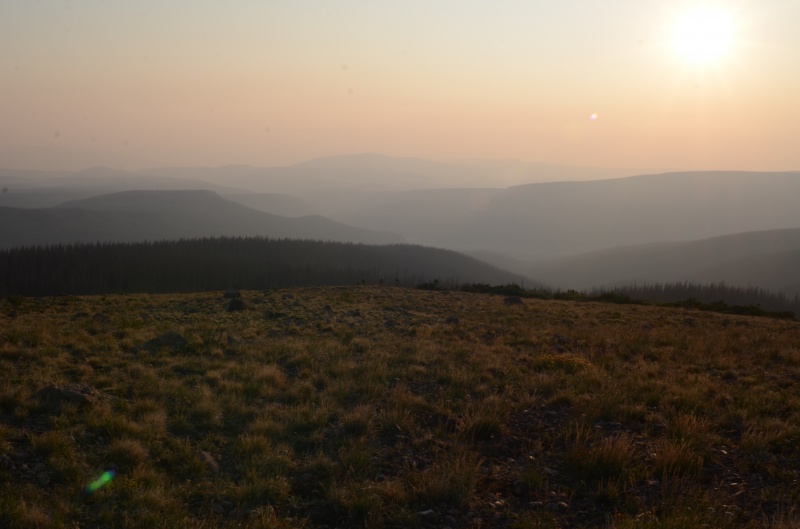  After ascending west up grassy slopes, weaving through some willows along the way, we headed SW toward Organ's summit. The climbing was easy, which was a good thing because we both felt a bit out of shape. From the summit of Organ Mountain (13,801'), we had a nice view of San Luis Peak, though surprisingly we didn't see anyone on it. The view of the surrounding mountains was somewhat marred by haze from wildfires as distant as California. We didn't find a summit register on Organ's summit. 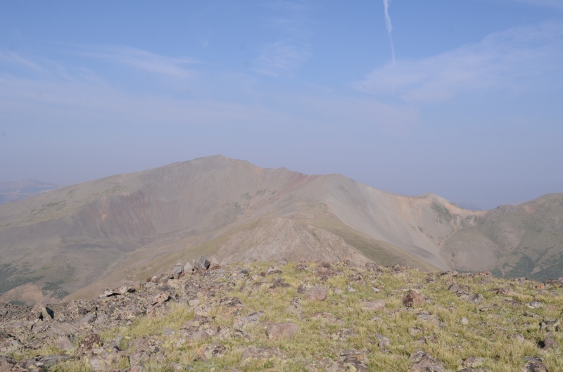  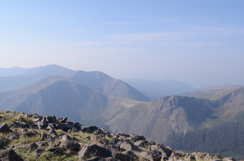 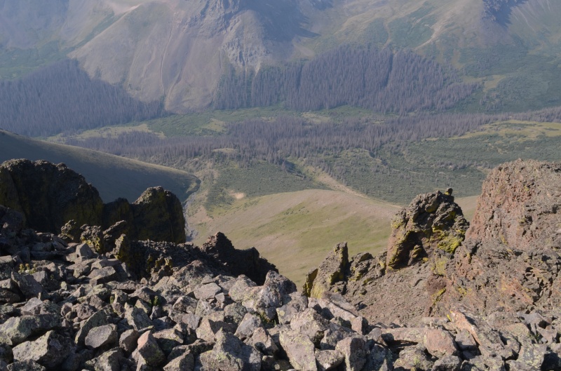 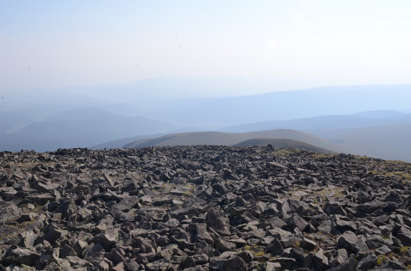 After an early lunch on the summit, we headed back to the trailhead the same way we'd come. We didn't see anyone on the trail, but the dirt roads were surprisingly busy as we drove back to pavement. 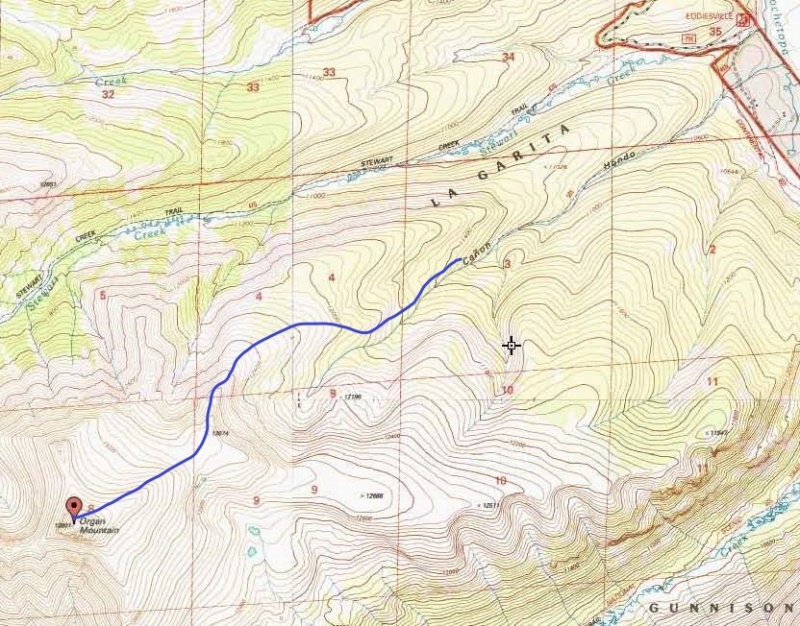 Tomorrow's goals were Electric Peak and Lakes Peak from the Major Creek Trailhead in the Sangre de Cristos, but we set up camp at the Hot Springs/Garner Creek Trailhead because we'd agreed to meet Darin and Ricky there tomorrow evening. We had the place to ourselves until a small RV arrived. After we finished dinner, the RVers brought us some chocolate cake for dessert. Thanks! It was tasty. Friday, Aug. 3, 2018 We drove the short distance (3/4 mile) to the Major Creek Trailhead and followed the trail as it ascended to the Lakes Peak - Electric Peak saddle. For the most part, the trail was easy to follow (and definitely better than the Hot Springs Canyon and Garner Creek Trails, as we would discover tomorrow). 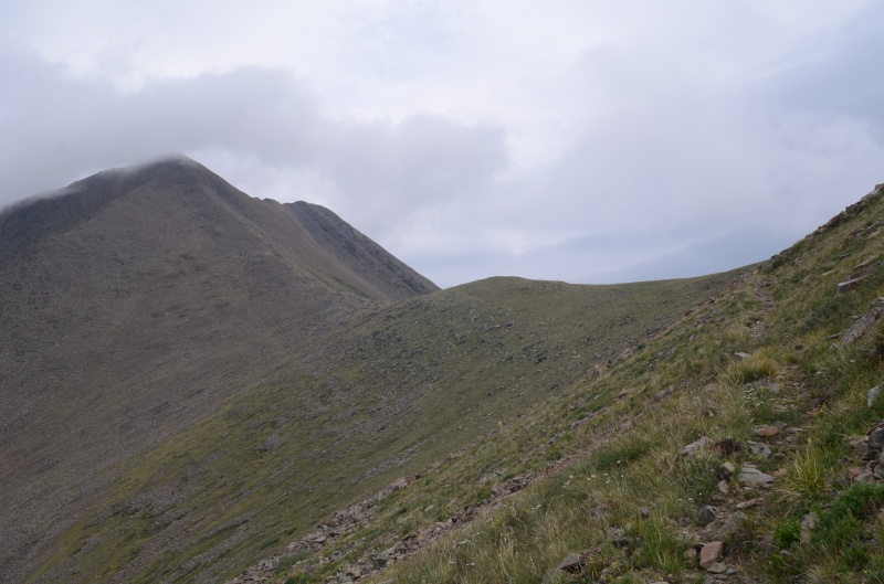 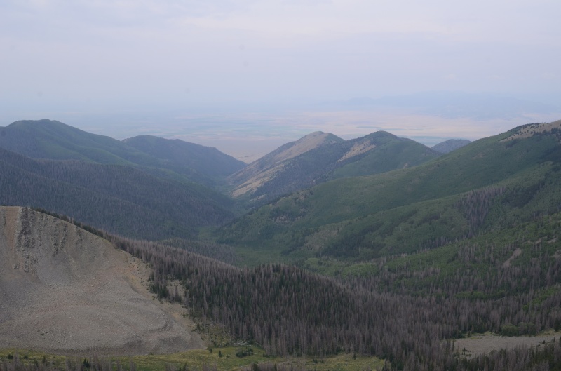 About a mile of hiking SE up the tundra and rocks on the ridge brought us to the summit of Electric Peak (13,598'), where we found a summit register left by Alyson Kirk in 2015. It was windy and the skies weren't looking especially friendly. The forecast called for a 70% chance of afternoon rain, and we got about 20 minutes of light rain while we headed back to the saddle. 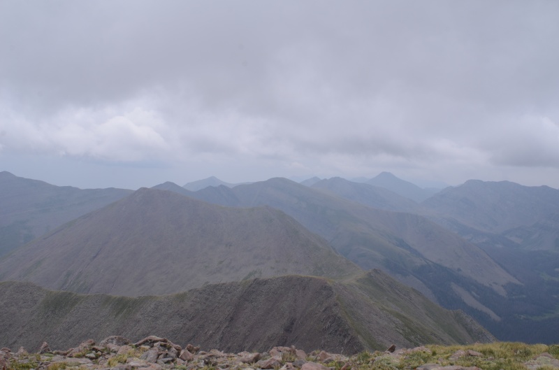  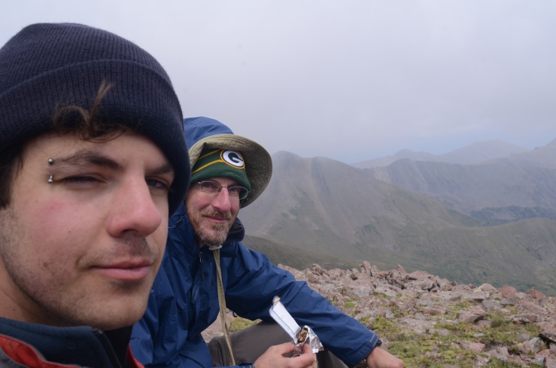 At the Lakes - Electric saddle it was decision time: do we head down and orphan Lakes Peak, or continue to Lakes and probably get rained on? After a few minutes of deliberation, we headed up the rocky ridge to the summit of Lakes Peak (13,375') and signed the makeshift summit register. 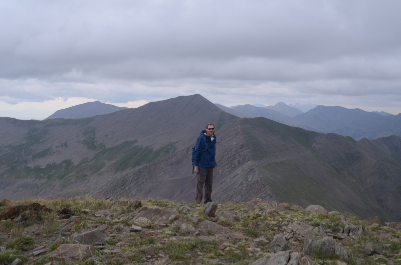 Because of the threatening clouds, we soon headed back toward the saddle. We were about halfway to the saddle when rain began. The rainfall was fairly hard for an hour as we descended the Major Creek Trail, but we were glad we'd gone ahead and tagged the summit of Lakes Peak. I did discover, however, that the old boots I was wearing were no longer waterproof. We also discovered that some of the deadfall had been cleared off the trail since we'd been hiking today. It was definitely nice to have fewer downed trees to step over. This was a long day (about 6800' of elevation gain), so we were rather tired when we returned to the trailhead and drove back to our campsite. We were just finishing dinner when Darin and Ricky arrived in Darin's new 4Runner. (Sweet ride!) After introductions and discussion about tomorrow's plans, we turned in for the night. A good night's sleep was interrupted by late-arriving campers, plus a nearby coyote who howled around 3 AM for about 20 minutes straight. 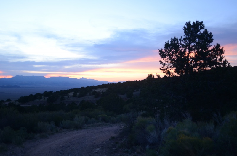 Saturday, Aug. 4, 2018 The four of us headed up the pleasant Hot Springs Canyon Trail as it followed the canyon bottom through the trees. At times, the trail became sketchy and the vegetation encroaching on the trail was wet from yesterday afternoon's rain. It didn't help when the trail was annoyingly close to the creek. 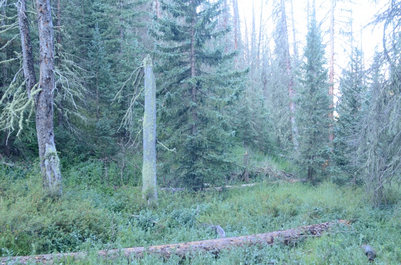 Eventually, the trail disappeared, and we headed around trees and up the grassy slope to the north. In hindsight, we should have angled more NNE than north so that we would have reached Cottonwood Peak's west ridge a bit closer to the summit, but either way the climbing was easy Class 2. 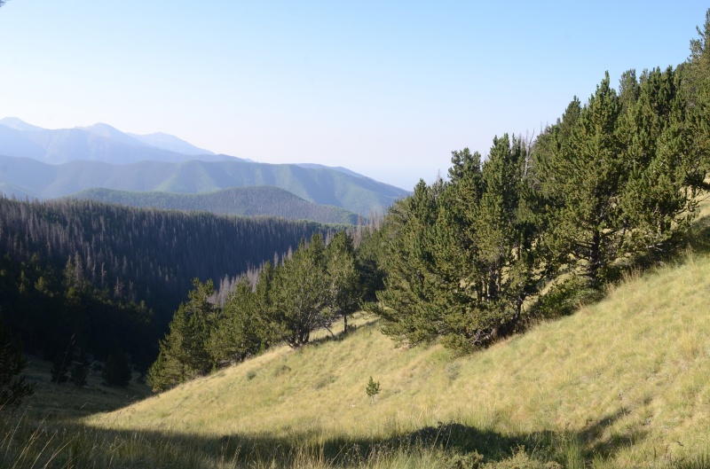 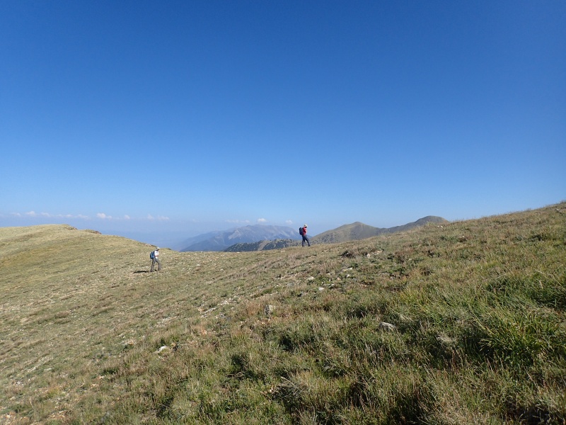 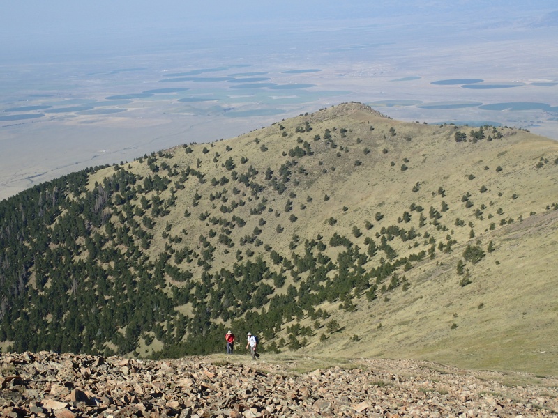 Once we reached the ridge, it was smooth sailing ENE toward Cottonwood Peak's summit. One oddity: a fanny pack on the ridge at about 12,800' that was in good shape so it didn't seem like it had been there very long. Given that sometimes climbers deliberately cache items for later retrieval (and get plenty upset if a well-meaning person packs out the 'lost' gear), we left the fanny pack where it was. We certainly didn't want to be accused of being thieves like the fiendishly evil creature (Bucky the Marmot) who stole Darin's SPOT a few years ago in the Weminuche Wilderness. 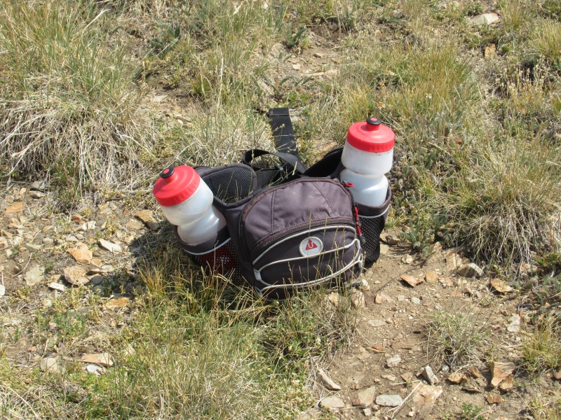 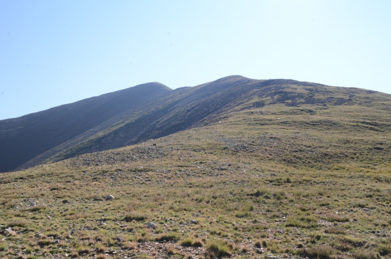 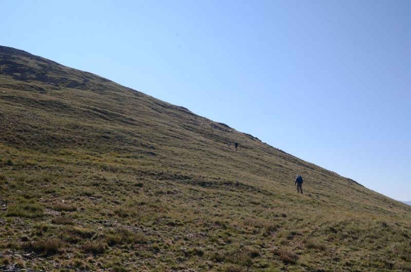 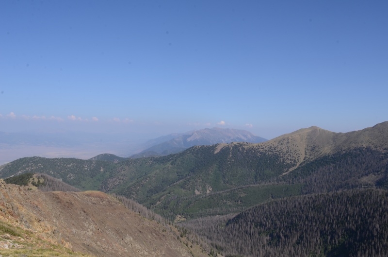 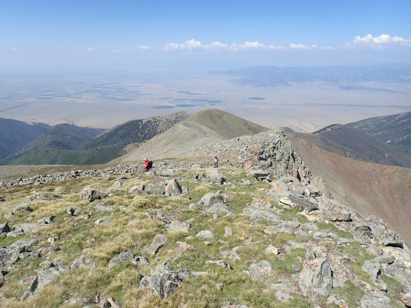 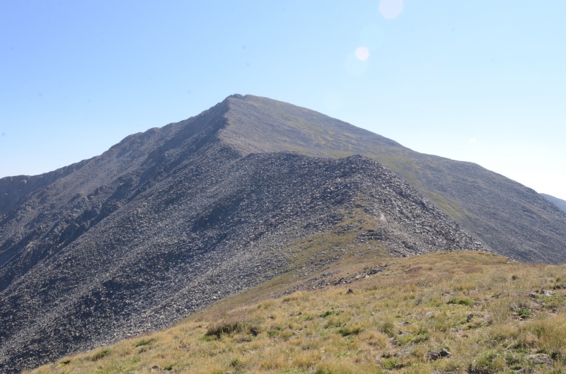 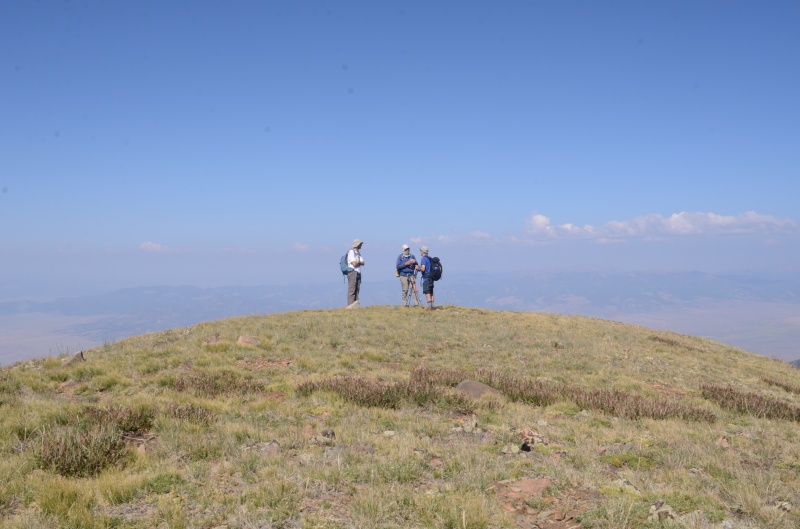 We continued steadily up the ridge and were on the summit of Cottonwood Peak (13,588') by 11 AM, where we did not find a summit register. 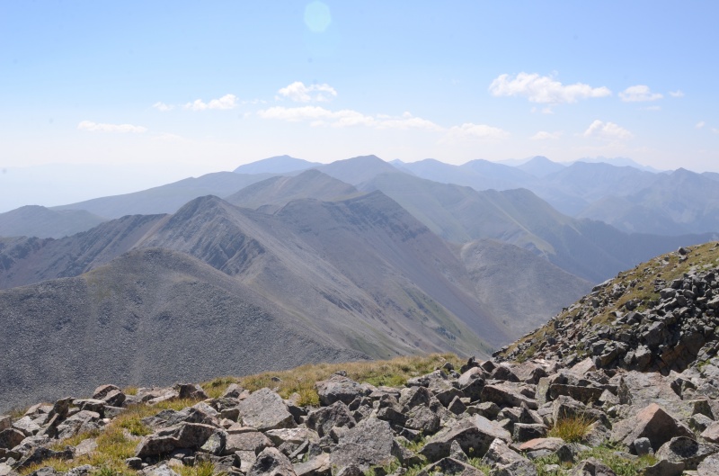 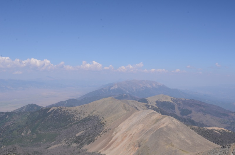 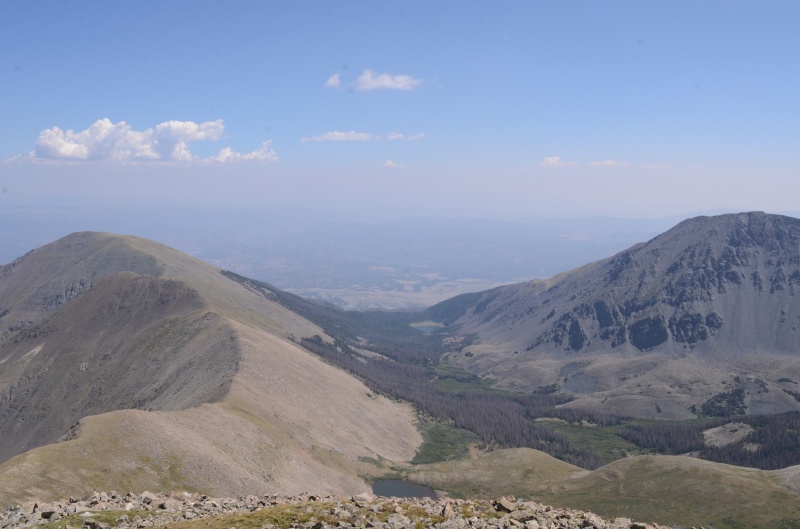 After taking a break to recharge, we descended SE and then east to the Cottonwood Peak - Unnamed 13,123' saddle. From here it was only a 303' ascent to the summit of the just-barely separate Unnamed 13,123', where we signed the makeshift summit register. 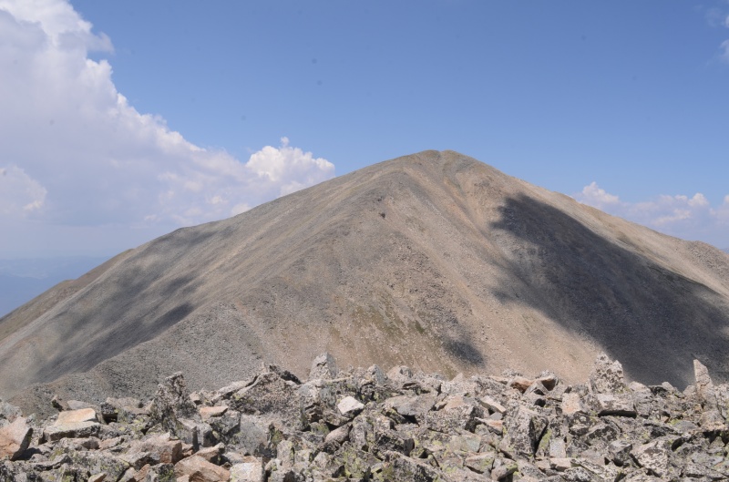 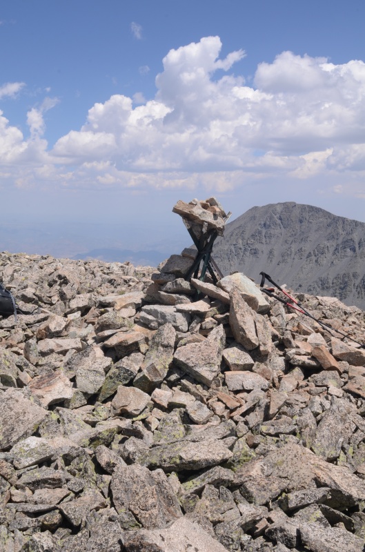 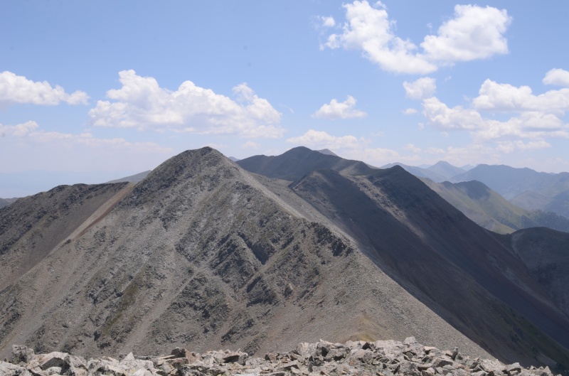 We headed SE to the Unnamed 13123' - Thirsty Peak saddle, where we began descending SW on the Garner Creek Trail. Everything went fine until we lost the trail somewhere around 11,200' and had to bushwhack toward Garner Creek until we found the trail again. The trail got better as we descended, and again we found that some of the trees across the trail had been cut earlier today. We were half-expecting a death march in the sun the last few miles to the trailhead, but happily the cloud cover kept the temperature reasonable. These would be good peaks to tackle in the fall for those wanting to ensure cooler temperatures. The only change I might have made to this trip would be to schedule Electric Peak and Cottonwood Peak so they're not on consecutive days. (Note: After returning home and recording these ascents in my copy of Garratt & Martin's "Colorado's High Thirteeners," I discovered that my dad and I had climbed Electric Peak and Cottonwood Peak on consecutive days in 1994, which would seemingly make me a slow learner.) Thumbnails for uploaded photos (click to open slideshow): ")
")
")
")
")
")
")
")
")
")
")
")
")
")
")
")
")
")
")
")
")
")
")
")
")
")
")
")
")
")
")
")
")
")
|
| Comments or Questions |
|---|
|
|
Caution: The information contained in this report may not be accurate and should not be the only resource used in preparation for your climb. Failure to have the necessary experience, physical conditioning, supplies or equipment can result in injury or death. 14ers.com and the author(s) of this report provide no warranties, either express or implied, that the information provided is accurate or reliable. By using the information provided, you agree to indemnify and hold harmless 14ers.com and the report author(s) with respect to any claims and demands against them, including any attorney fees and expenses. Please read the 14ers.com Safety and Disclaimer pages for more information.
Please respect private property: 14ers.com supports the rights of private landowners to determine how and by whom their land will be used. In Colorado, it is your responsibility to determine if land is private and to obtain the appropriate permission before entering the property.


