...y'all should be really glad I only overdo it with the alliteration in these trip reports and spare you the puns.
After a summer and a half of Sawatches, this one was a treat. There’s a beautifully easy-to-follow trail going the whole way up, and while it is long, the grade is forgiving.
 There are even glaringly obvious markers showing where NOT to go, which is a real boon to hikers who chose SLP as their first ever car-camping expedition and thus got maybe three hours of actual sleep the night before.
I’d gotten so used to false summits and scrambles in the San Juans' northern neighbors that when I did reach the top, I looked around suspiciously for a few seconds, wondering where the real high point of the hike was.
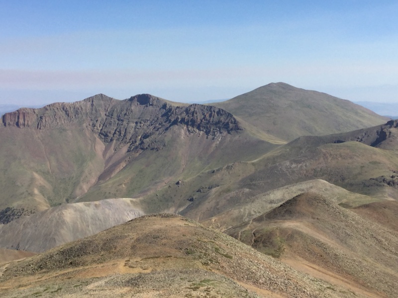
 In fact, Stewart Peak looked so lofty from its neighbor's not-much-higher summit that I briefly wondered if I'd gotten the wrong mountain entirely.
But I had indeed found it, and while I didn’t want to spend too long up there (the wind was cold enough that my teeth started chattering as I geared up to go back down, and I announced my departure to everyone still on the summit with, “I’m heading down before I freeze to death on a sunny day in July!”), I took advantage of the absence of oncoming storms by taking plenty of pictures and chatting with my summitmates, several of whom were thru-hiking the Colorado Trail and decided to make the short-ish detour up SLP so they could add a fourteener to their already impressive accomplishments.
This was a fantastic hike, and I’d enthusiastically recommend it as a first fourteener but for two things: the length (it took me a few years of hiking them to realize that the longer the trail, the shallower and therefore easier the grade, so I could see newbies being intimidated by the 13.5 miles mentioned in the description) and the 29 miles of dirt road between SH 114 and the trailhead.
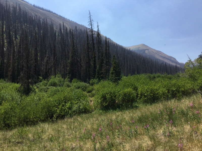
 Also, if you're going up anytime soon, be very mindful of the fire bans. This picture doesn't do justice to how dry the forest on the south side of Stewart Creek looked.
There’s nothing technically challenging about that road at all (with the possible exception of the Nutras Creek crossing, which I did in the dark and so couldn’t determine depth in the middle that well. I solved that problem by driving over the rocks on the upstream side). It’s just that it is a dirt road, and despite the fact that I was almost certainly going way faster than I should have, that portion of the drive still took me an hour.
Still, this is one of those rare fourteeners that I considered a genuine pleasure to hike - Type I as opposed to Type II fun! - and would add to my roster of regular hikes if it weren’t so damn far from Denver.
 The views justified the drive, though.