Log In 
Report Type 
Full
Peak(s)  North Maroon Peak  -  14,022 feet
Date Posted  07/30/2018
Date Climbed   07/28/2018
Author  SpringsDuke
 #27 N Maroon Peak   

#27 N Maroon Peak.

Shout of to WildWanderer and congrats on her recent and quick accomplishments on all 58 summits. Like many of you I took great inspiration from her and use her reports often. I also started the 14ers 2 years ago while getting ready for a trip to Switzerland. I started with the one in my own backyard, Pikes Peak. I was amazed at how easily I completed the long Barr Trail in one day. After going to Switzerland and having a great time in the mountains I came back and wanted to continue to hike so I would keep the endurance level I had achieved. So I started doing some of the easier 14ers with no real mission to complete them all at the time. That is when I started using this site and started to follow WildWanderers journey. At that time we seemed to be on the similar pace and skill level so I followed her closely. That only lasted till this last fall when she really took off ahead of me. This gave me the motivation to once again step up my own game and see if I could also complete the list by doing multiple climbs in a day and/or weekend and also get into the class 3 and 4 climbs sooner than I originally planned. I hope to add to this site and follow in your steps. So again thank you for your trip reports and the incredible inspiration you gave me and others, you are a rock star athlete and I would not be climbing this class 4 hike so soon without you!
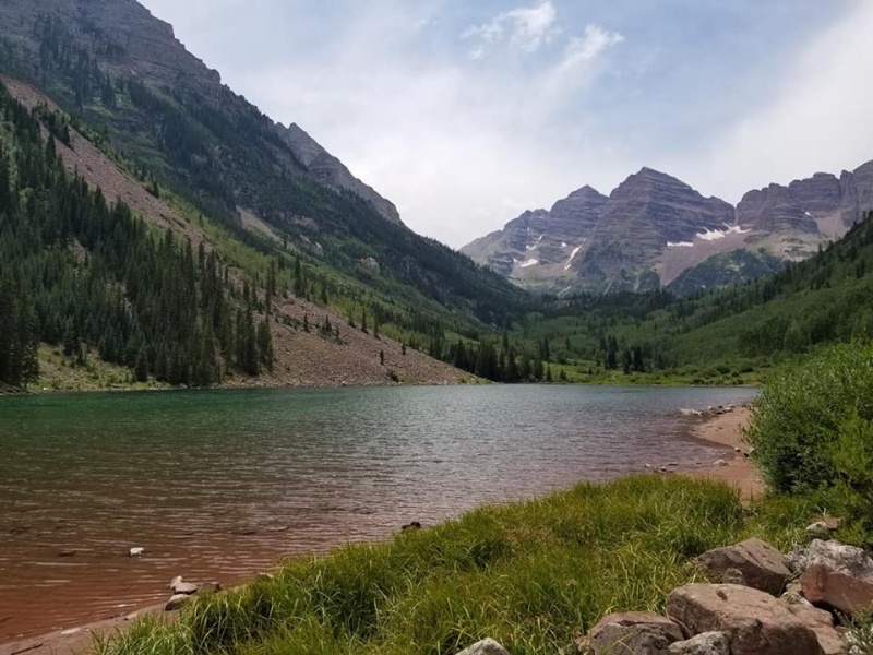
18818_01
North Maroon Peak on the right and South Maroon on the left from the trail head at Maroon Lake.


18818_07
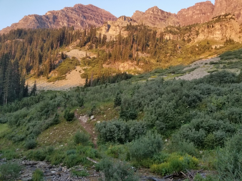
After hiking up the Maroon-Snowmass trail listen for the water from the creek and get ready to turn left at the trail junction. There are a few other junctions in the area but they are camp or game trails that lead no where fast. The correct left to take will be the trail with a cairn that will take you down to the creek to cross shown in the picture above.


18818_02
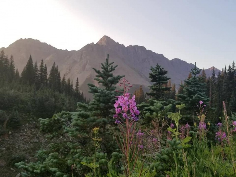
From the trail shortly after crossing the creek just a nice photo of Pyramid Peak in the early morning. After the creek you cross a trailed boulder field and then the kinda cairned rock glacier. Both are easy to follow to the trail that leads up a steep forest and into the first gully. Sorry I dont have pics of the area that dont show my friends in them so those wont be posted but will keep that in mind for any future trip reports. The area is easy to follow and I still used my hiking poles. A group ahead of us did knock a large rock down that caught our attention but missed by 100 feet or more. I had no problem with any loose rock the entire climb myself but one in our group also knocked down a rock in the 2nd gully on the down climb so just be careful going up and down and keep long distance between groups cause when rocks go they go all the way down.


18818_05
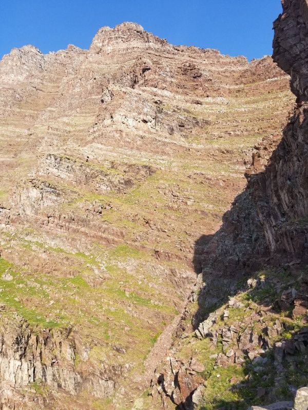
Standing on the trail looking back at the entrance to the 2nd gully


18818_08
The infamous photo of catching first sight of the 2nd gully. This is where I stashed my hiking poles as it gets hands on from here on out. If you zoom in enough you can see climbers nearing the top cliff bands. This shows you how large the gully is but also how much room we gave them to avoid any potential rock fall. The 2nd gully does go quick and before I knew it I looked up and was on the notch. Its kinda like looking through a small keyhole on Longs and not hard to climb up too. Turn left and gain the ridge by using your hands and finding your line using the cairns.


18818_13
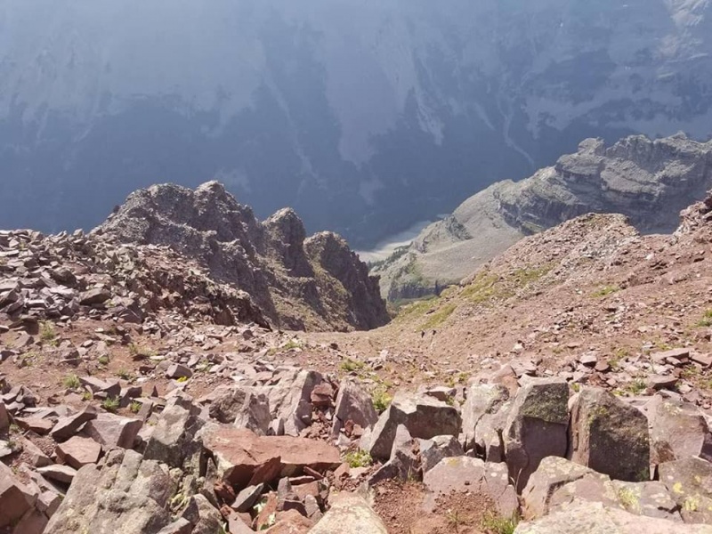
Looking down the 2nd gully from the notch. You can see the entrance/exit at the top of the first cliff in the photo. I called it Godzillas back to help me remember. I find naming mountain features after what you see like shapes in the clouds will help your memory on the way out.


18818_12
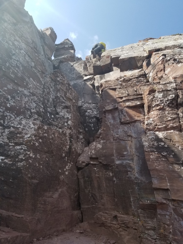
The chimney I found it easy and was able to climb up it in less than one minute and climb down it in less than 2 minutes. Only thing to add is that it does look like it is a straight up chimney but it actually leans towards you like a leaning tower. That lean is the only thing that makes the first move into the chimney slightly awkward. I kept my pack on me the entire time until the very last move out of the chimney on the down climb I took it off and threw it down and made the last move down without it. My pack made a loud thud when it hit the ground that startled the group ahead of us. I guess they were a little jumpy so warn others before you make loud noises on the mountain.


18818_11
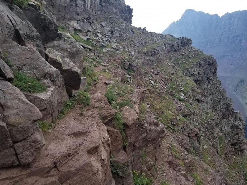
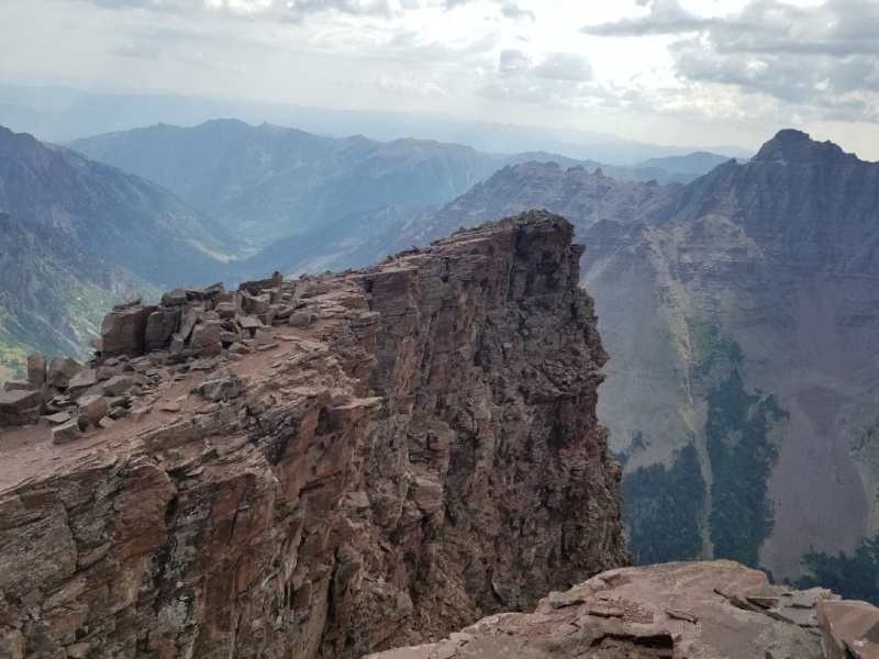
The Precipice is very wide and easy to gain. From here pick your line to the summit. The easy way to the summit will follow cairns around a corner on your left. Most people did not realize to look around the corner and were climbing up steeper rock instead, it works out as well but look around the corner to your left and you'll immediately see a cairn up an easier path. I went up that way but admit I missed it on the way down and down climbed the steep part others climb up so either way up or down is fine in the end. Again sorry only photos in this area are with me and my friends in them.


18818_14
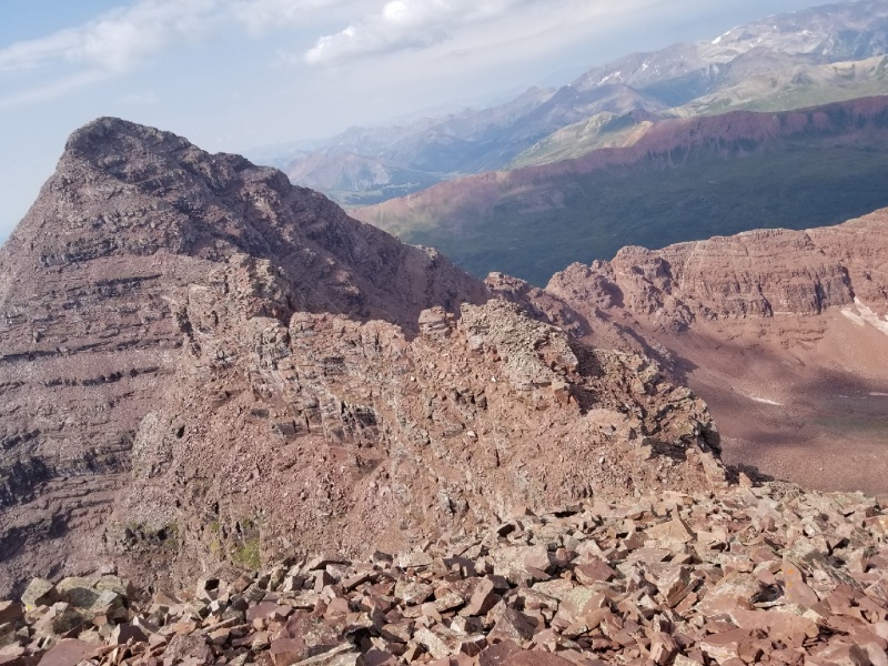
Summit photo of the Bells Traverse and South Maroon. Great climb and I felt very comfortable with the exposure and rock and would do this again in the future. Total time was 4 hours up and a little over 3 hours down. About a dozen people appeared to have gained the summit this day and from the summit we got to see a helicopter rescue way down on the long Maroon Bells 30 mile four pass loop.

Hope you guys can enjoy these and I will continue to post as I try to complete the list. Also I will try to put together some throw back trip reports from my previous 26 summits.


Thumbnails for uploaded photos (click to open slideshow):
1 2 3 4 5 6 7 8 9 10 11 12 13 14


Comments or Questions
   Not registered?


Caution: The information contained in this report may not be accurate and should not be the only resource used in preparation for your climb. Failure to have the necessary experience, physical conditioning, supplies or equipment can result in injury or death. 14ers.com and the author(s) of this report provide no warranties, either express or implied, that the information provided is accurate or reliable. By using the information provided, you agree to indemnify and hold harmless 14ers.com and the report author(s) with respect to any claims and demands against them, including any attorney fees and expenses. Please read the 14ers.com Safety and Disclaimer pages for more information.

Please respect private property: 14ers.com supports the rights of private landowners to determine how and by whom their land will be used. In Colorado, it is your responsibility to determine if land is private and to obtain the appropriate permission before entering the property.