| Report Type | Full |
| Peak(s) |
Mt. Massive - 14,427 feet |
| Date Posted | 07/19/2018 |
| Modified | 09/13/2018 |
| Date Climbed | 07/17/2018 |
| Author | huffy13 |
| A Long, but Rewarding Day on Mt. Massive |
|---|
|
Well, 2017 was a good summit year for me, having bagged a tedious Sunshine/Redcloud combo from Mill Creek Campground and then back to the San Juans for a summit of San Luis on an extremely windy day. I was wanting to get a summit or two in this year and my son, who hadn't hiked since we got a summit of Horseshoe Mountain 4 years ago, called wanting to go hiking. He already made up his mind that he wanted to hike Mt. Massive, a peak he's been obsessed with since he was about 10 years old. I knew it was a long hike, but I felt like it was a doable, so my son came home from Lubbock on Sunday, the 15th and we headed out early that next morning. I reserved a couple nights in a tent site at Chalk Creek Campgrounds.  We arrived at Nathrop right around 4 pm, it was a lot hotter than usual, somewhere around 90 degrees, so we set up camp, ate and relaxed in the tent until about 9 pm, wanting to hit the sack early since we were planning on waking up around 4 and trying to be at Massive's TH by 5:30. As usual, neither of us slept very well, but we managed to wake up, eat a quick breakfast and head out from Nathrop in time to get to the TH at 5:45 am, hitting the trail at 5:50. 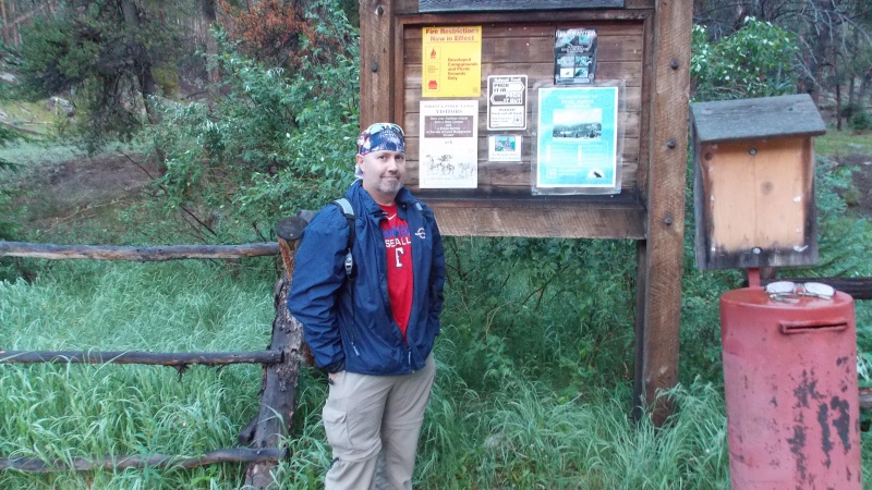 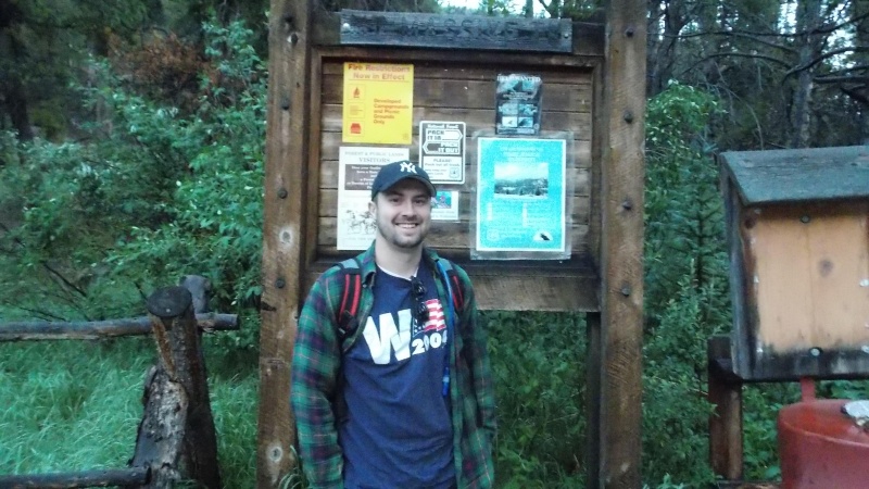 The weather forecast was calling for highs near 90 and lows right around 60 in Buena Vista, so I figured the temps would be similar at the trailhead, it was slightly cooler though, somewhere around 50 at 6 am. Very little breeze, so both of us wore a light outer layer, prepared to remove it if it got warm.  This trail was one of the best kept, best defined and prettiest I've been on. It did remind me a lot of my experience on Mt. Elbert 11 years ago. Very gentle and easy trail for the entirety below treeline. The next several pics are of the trail through the forest along with pics of the easy creek crossings while in the woods. 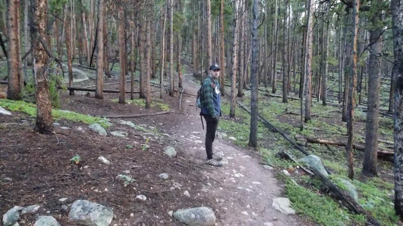 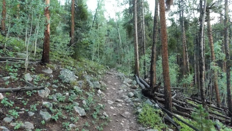 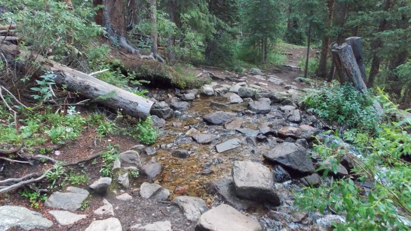 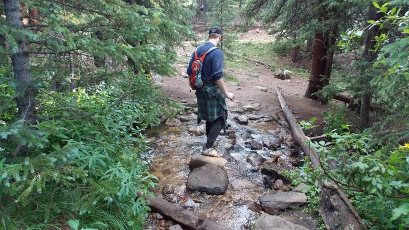 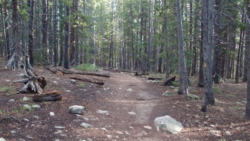 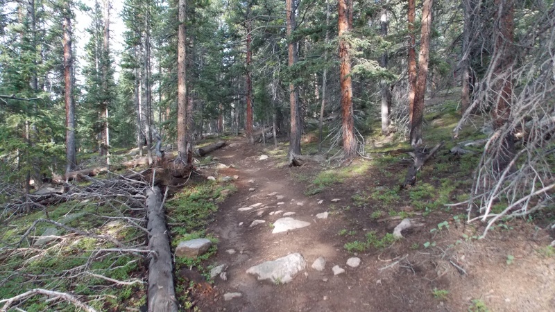 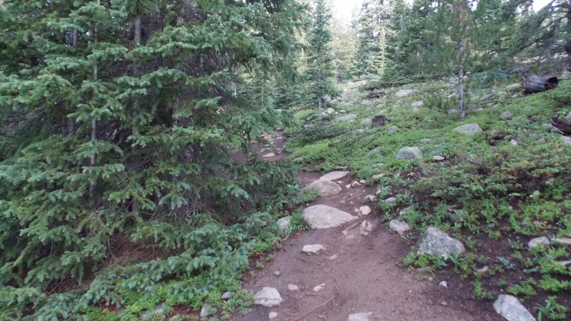 Once above treeline the trail gets slightly steeper, but still not bad, but the views of Elbert, the Mosquito and Tenmile ranges, as well as the Arkansas River Headwater area are breathtaking. The skies were slightly hazy, but good views were still to be had. Just above treeline the trail winds through some willows for a while, but the path is wide enough that the willows aren't a problem.  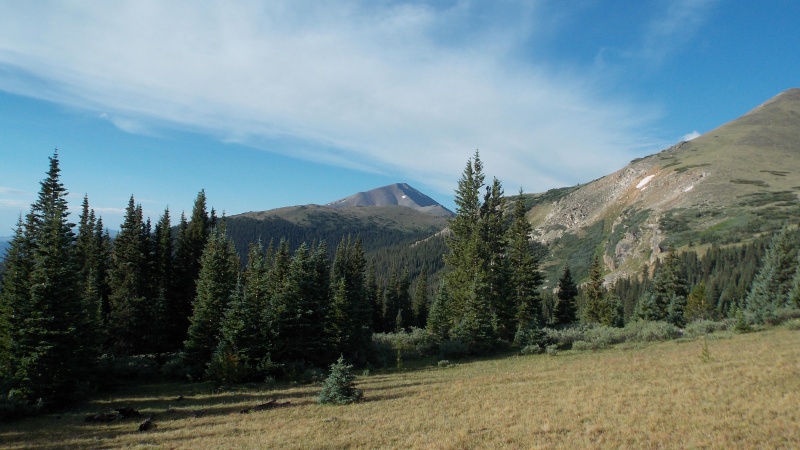 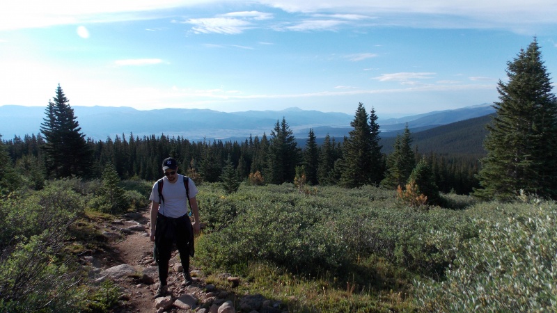 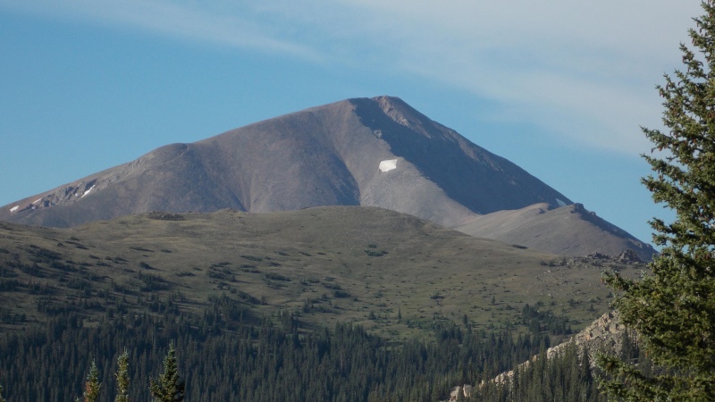 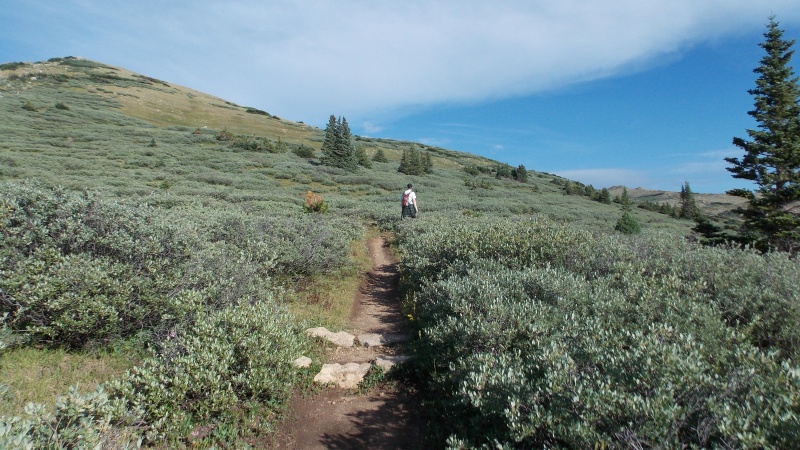 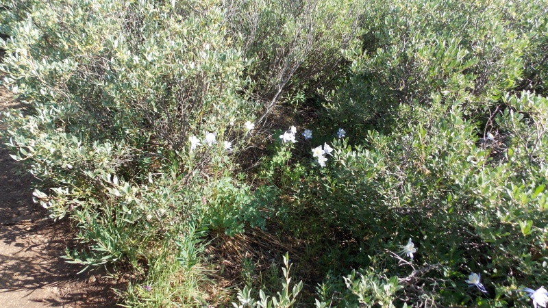 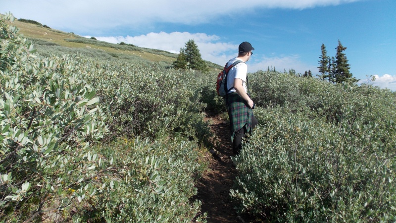 Just past the willows, the trail starts switchbacking up PT 12,466 and then wraps around the north side of that point and then begins a constant grade up towards the main summit and I guess what is called "South Massive". 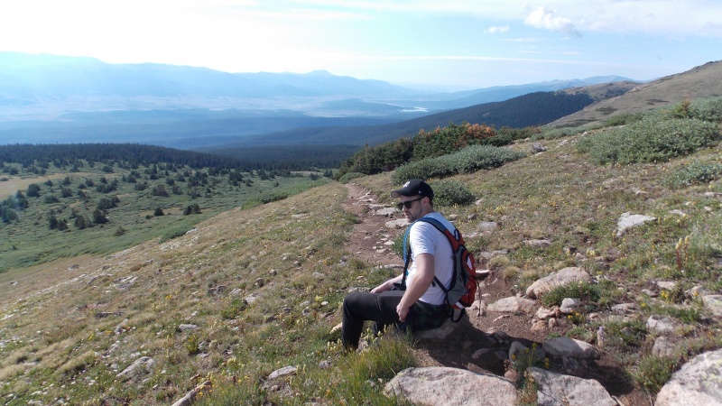 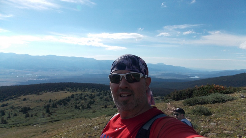 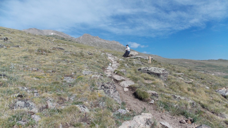 My son and I were making pretty good time until we got to the base of PT 12,466. My son started really feeling the effects of not having hiked in four years. I have dropped a few pounds since last September, so I was feeling good, but my pace still slowed considerably once we started hitting the steeper section. We just slowly trudged up the long slog toward the saddle. The skies were still clear, so weather was not concerning me yet. 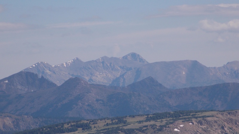 Just past PT 12,466 we came across a ptarmigan hen and about 6 of her babies. They weren't as skittish as most of these I have come across in the past, she walked along with me for about 100 yards. 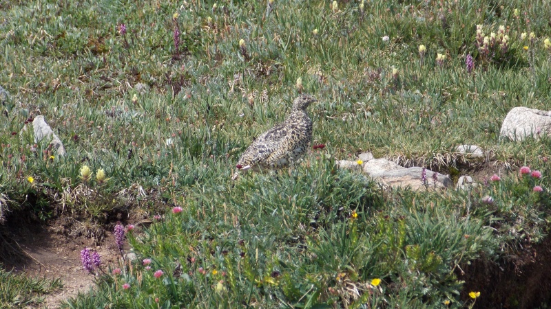 The saddle comes into view once you get past the 12,000 ft point  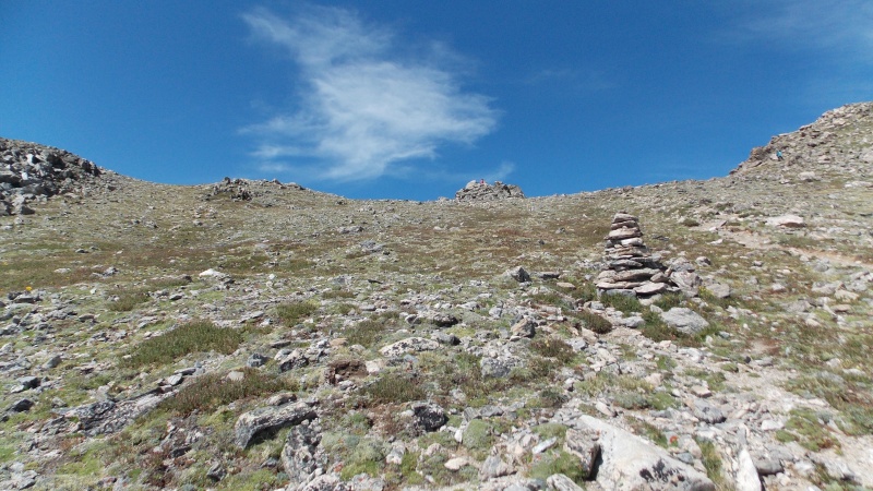 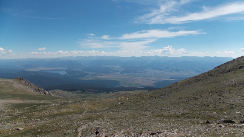 Once on the saddle, we were greeted with a nice, cool breeze. The climbing, up to this point, was all nice, clear path, once on the ridge the climbing gets slightly more serious, but it still holds a lot of good, solid scrambling. 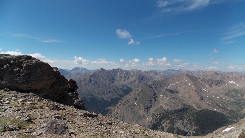 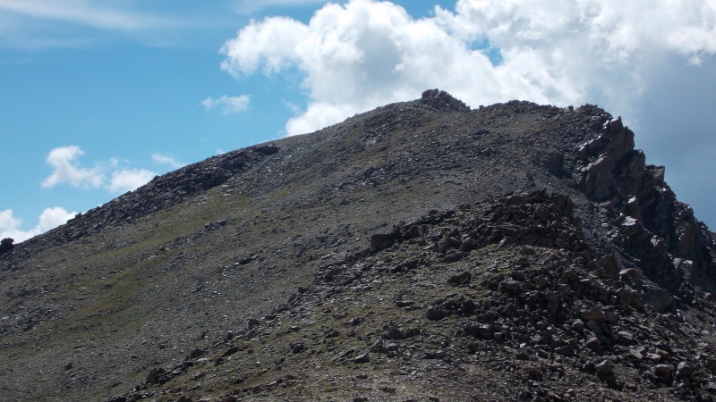  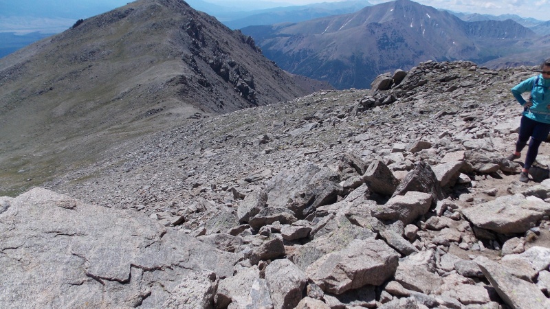 My son and I had originally planned to make a loop hike of this, ascending the standard route and then descending via the SW slopes and just hiking the road back to the main TH, we opted to just descend the gentle trail since it was such a great trail. 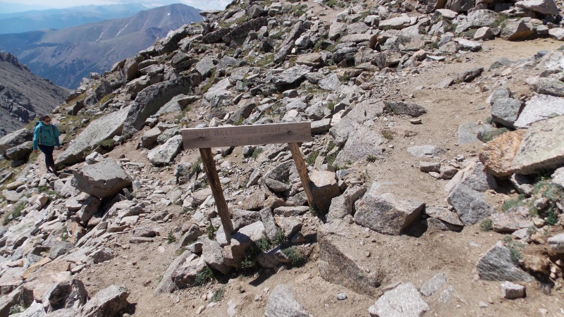 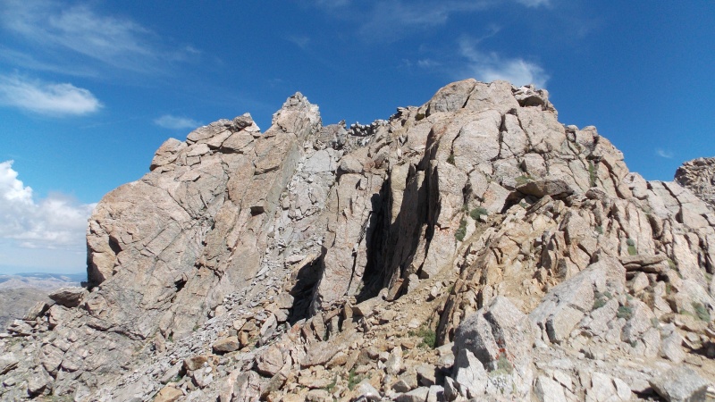 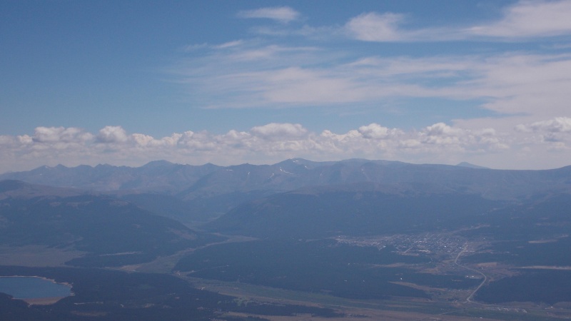 We had a couple of mountain goats show up. Only the second time I've come across them on a hike. 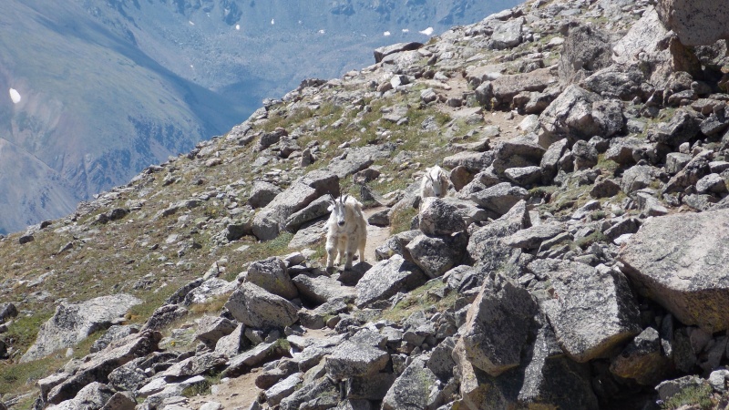 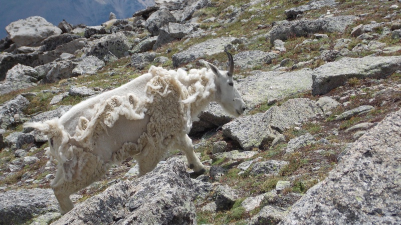 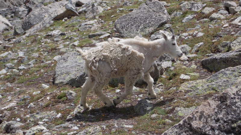 We finally made the summit crest and hiked over a few bumps, making it at about 11:30...a slow pace, but just under 6 hours to make the summit. We are flatlanders, so I'll use that as an excuse! lol 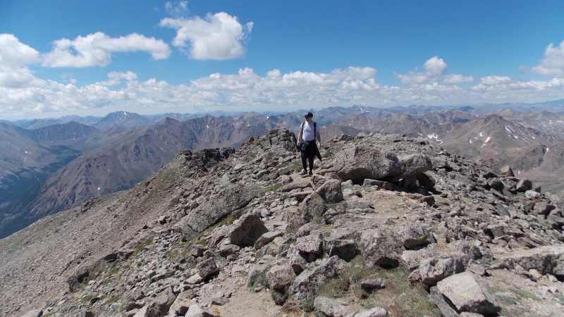 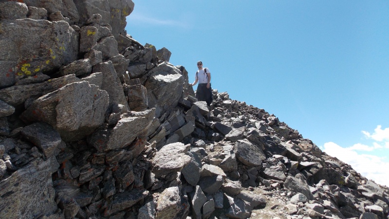 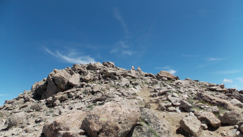 A saw a couple of guys ahead of us that ascended via the SW slopes and they had something they were carrying that I could not decipher until I got to them on the top....extreme ironing is a thing! LOL! Follow them on Instagram, they are pretty impressive and it's fun to follow. 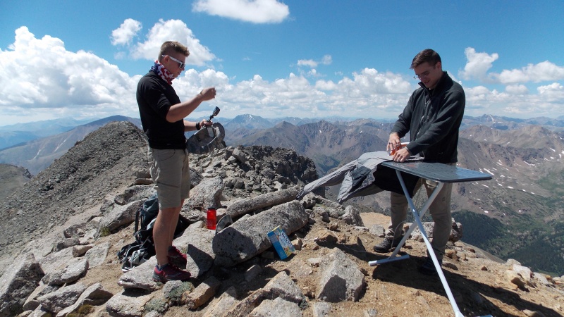 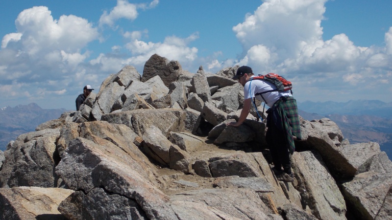 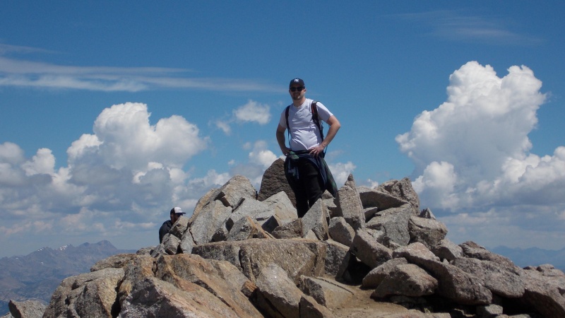 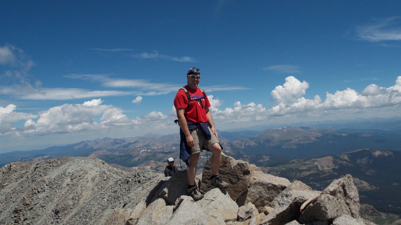 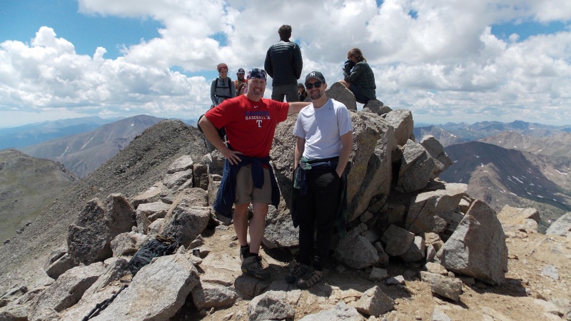 The views from the top are great. All the Elks are visible, a lot of the Sawatch, Holy Cross, the Mosquito and Tenmile ranges as well as a Grays/Torreys sighting. 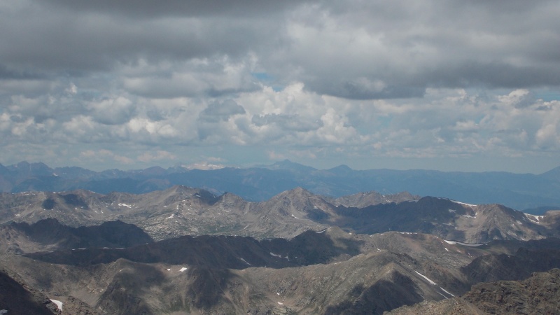 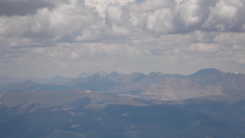 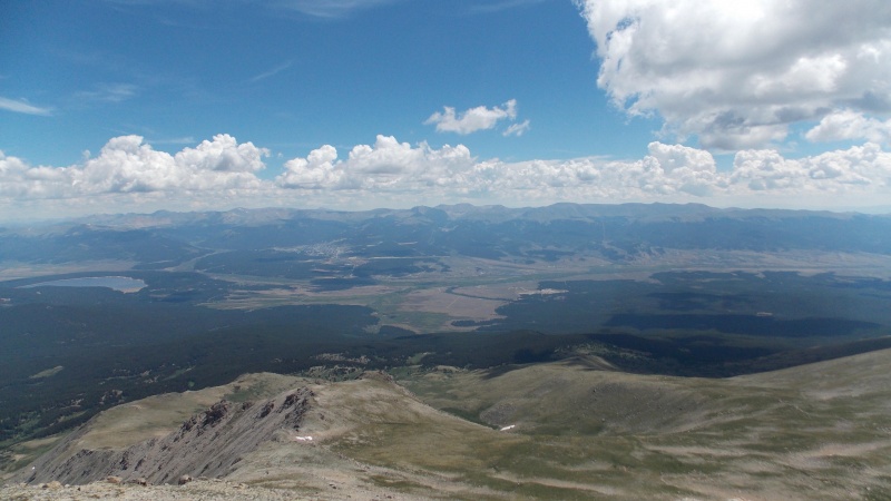 We hung around on the summit for about 45 minutes, taking in some food and visiting with the several folks that were already there and a few that arrived after us. There was no strong wind, just a nice cool breeze and some clouds, but nothing appeared threatening until we were down the hill. 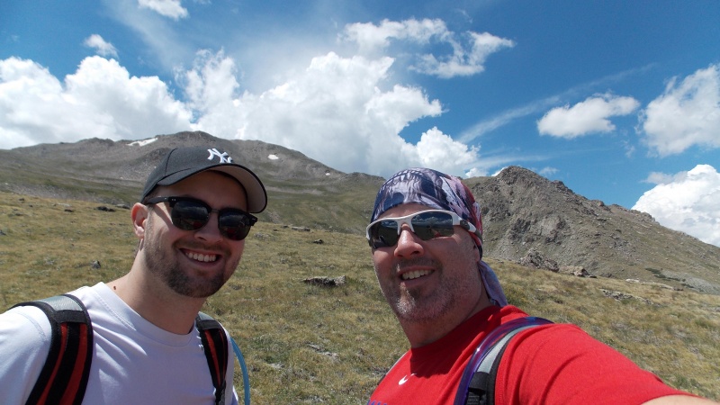 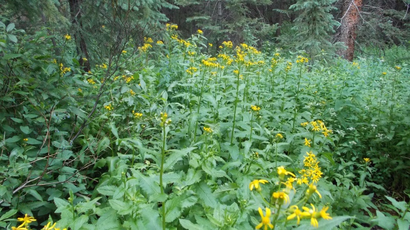 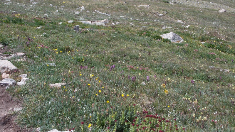 We made it back to the trailhead right around 4 pm for a total time close to 10 and a half hours, including 45 minutes at the summit. Super slow, but the weather was great, a little warmer than I like when I am in the mountains, but still great. Glad to have this one knocked off. We had thought about doing LaPlata Peak the next day, but neither of us thought like we'd feel like it Wednesday morning, and we were right, both of us were sore and so we packed up and headed home. And now, as usual, my person insights and thoughts about this hike: First off, start early, it is a long hike and once above treeline, the summit is still a long way away and so much of this hike is above treeline that you want to have a good weather day. There is water a couple places along the trail in the form of Willow Creek and a couple smaller streams, you'll want to have filtration and sterilization available though. There are several places along the hike that a small tent could be hiked in and camping along the trail would definitely make for a neat experience. There is almost zero exposure on this hike until you get to the saddle between South Massive and the main summit. There are some minor scrambling moves required once you make the ridge, but nothing is sustained and most of it is relatively mild. The summit itself is pretty small, so be aware that you might not get to spend a ton of time up there on a busy weekend. I wouldn't recommend this as a first time peak, but only because of the distance, other than that factor it's a great hike! Thumbnails for uploaded photos (click to open slideshow): ")
")
")
")
")
")
")
")
")
")
")
")
")
")
")
")
")
")
")
")
")
")
")
")
")
")
")
")
")
")
")
")
")
")
")
")
")
")
")
")
")
")
")
")
")
")
")
")
")
")
|
| Comments or Questions |
|---|
|
|
Caution: The information contained in this report may not be accurate and should not be the only resource used in preparation for your climb. Failure to have the necessary experience, physical conditioning, supplies or equipment can result in injury or death. 14ers.com and the author(s) of this report provide no warranties, either express or implied, that the information provided is accurate or reliable. By using the information provided, you agree to indemnify and hold harmless 14ers.com and the report author(s) with respect to any claims and demands against them, including any attorney fees and expenses. Please read the 14ers.com Safety and Disclaimer pages for more information.
Please respect private property: 14ers.com supports the rights of private landowners to determine how and by whom their land will be used. In Colorado, it is your responsibility to determine if land is private and to obtain the appropriate permission before entering the property.


