We dig the non-Colorado mountains too! I didn't find a ton of information on Shasta's West Face Gully Route (via Hidden Valley) route, so I wanted to include this photo-heavy trip report.

Hidden Valley West Face:
12.3 Miles, 7400 Feet Elevation.
After guided trips on some of the classic non-CO mountains (Rainier, Hood, Grand Teton), my awesome climbing partner - my wife - and I are trying to build our individual mountain resume. Our 2018 spring climbing plan was a replay of our 2016 plans: Mt. Whitney Mountaineer's Route, followed a few weeks later by Mt. Shasta. In 2016, we turned around on Mt. Whitney a few hundred vertical feet from the summit due to sketchy snow conditions, and had to cancel Shasta with a hefty storm. In 2017, my wife had baby #2 (yay!), so we gave everything a second attempt in 2018. Whitney was an adventure (story for another trip report), but Shasta thankfully went off without a hitch...almost.
Stomach flu was a bit of a hitch...On the Wednesday before we were set to leave (leaving our 2 toddlers behind with my sister) for our Friday/Saturday climb, my wife texted that our daughter felt like she might throw up. Commence the stomach flu running through our whole family, including my wife on Wednesday night, and me on Friday morning. What better way to start a 7k vertical climb than sick and dehydrated, right? We changed our route plans from Casaval or Green Butte Ridge to the West Face, figuring we would have a better chance at enjoying our time if we had to turn around in our somewhat weakened states.
We flew from DEN to SMF Thursday night, and drove from Sacramento to Shasta on Friday late morning (after my stomach finished full evacuation). After a stop at the Fifth Season for permits and snowshoe rental (didn't end up using them...or even taking them out of the car) and lunch, we drove up to Bunny Flats.
Day 1: Bunny Flats TH to Hidden Valley
3.3 Miles, 2560 Feet

 '
'
Final gear check in the parking lot, and we were off around 2pm. The hike from Bunny Flats Trailhead to Hidden Valley was beautiful. The trail to Horse Camp was excellent, then followed by increasingly loose volcanic sand and loose rock. However, the the scenery was great the whole time with large trees giving way to gorgeous views of Castle Crag, Trinity Alps, Mt Shasta City, Black Butte. 


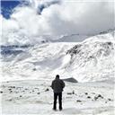
Snow was minimal until we actually got to Hidden Valley, only crossing a few 20-30 ft snowfields. The arrival to Hidden Valley is pretty awesome - you can't see Shasta or Shastina for several miles until you gain a the final ridge and BAM! there is the large snow-filled cirque, surrounded by Shastina, Shasta, and Casaval Ridge. 

We got to work finding a campsite, boiling water, digging a pit, pitching the tent, and getting ready for our night. Even though we dug a pit and built low walls, we were fortunate with nearly perfect weather - temperature in the upper 40's during the day dipping to around 30 at night, sunny skies, and virtually NO WIND. I can't emphasize how little wind we had the entire time we were on the mountain. We were definitely thankful for the great window.

 (These were the closest people to us)
 Casaval Ridge in the fading daylight.
  See if you can spot the tent we discovered after we had already settled in - not bad!
Eventually, we zipped in around 9pm for a few hours of sleep...broken by a few opportunities for some star photography.
Day 2: Hidden Valley to Summit, Descent

Hidden Valley to Summit: ~3 Miles, 5000 feet. (Day 2 Total: 9 Miles, 5120 Feet Gain, 7420 Feet Descent).
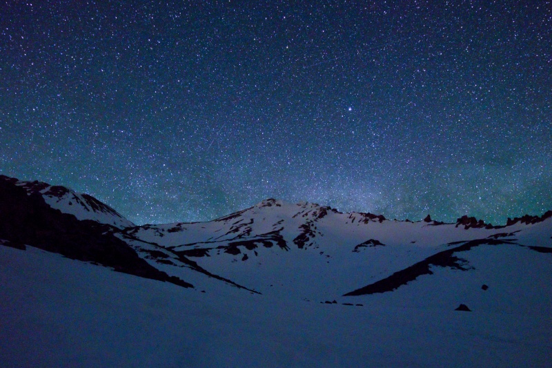 The Route by starlight.

Casaval Ridge by starlight, just a hint of milky way.
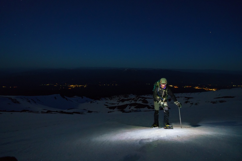
With alpine start alarms, we boiled water for tea/coffee/oatmeal, collapsed the tent, strapped on our gear, and got on our way.
There are two ways to approach the lower stretches of the gully - the direct route gives 50+ degree snow for several hundred feet, or a traverse to climber's right that keeps the higher angle snow to a minimum. With perfect snow conditions, we opted for the direct route. You can follow our headlights in the timelapse I made below to see where we went - we are the lead headlamps, some skiers were a couple hours behind us.

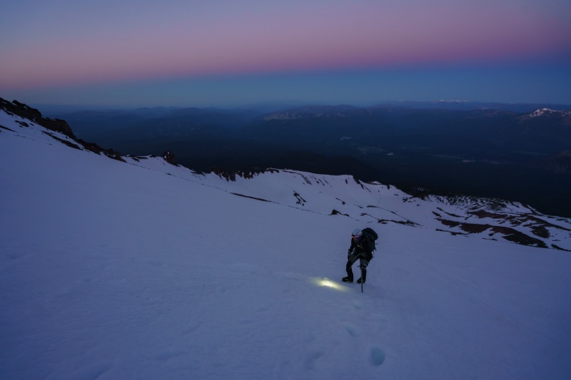
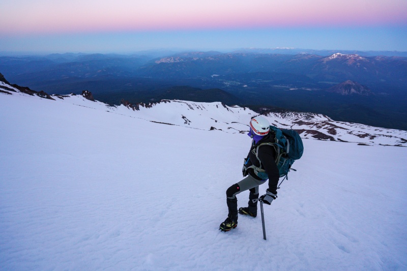
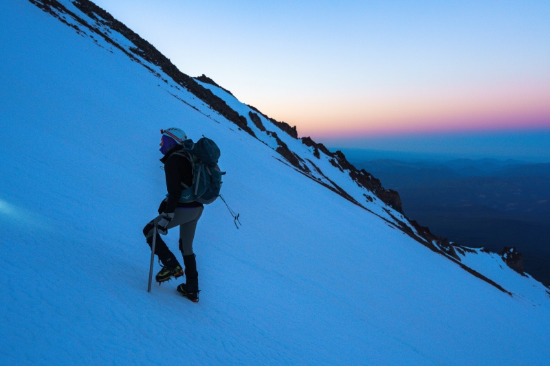
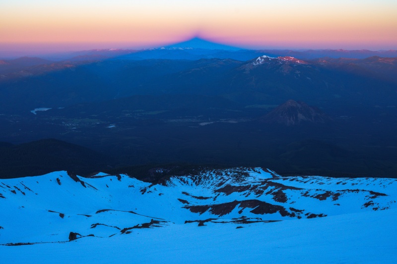
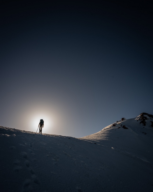
We were glad to see the sun eventually begin to rise -- but being a West Face route, didn't benefit from it until we crested the upper headwall of the gully. Great peak shadow on the valley however.
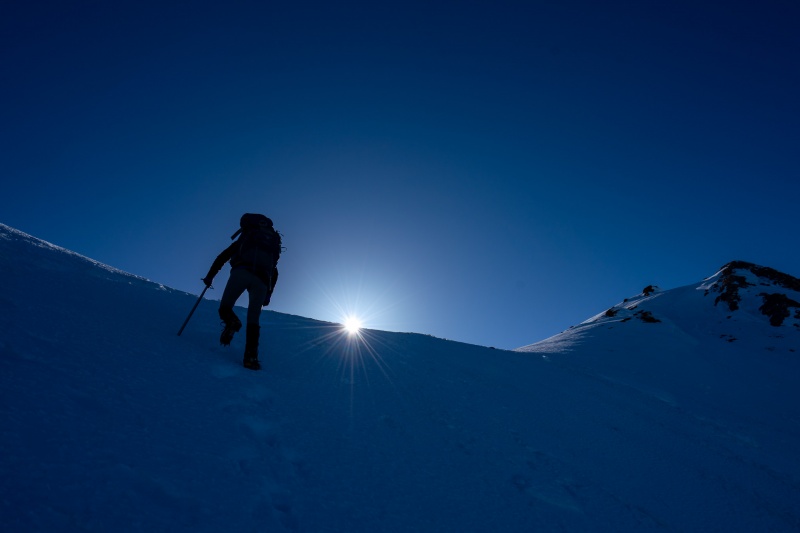
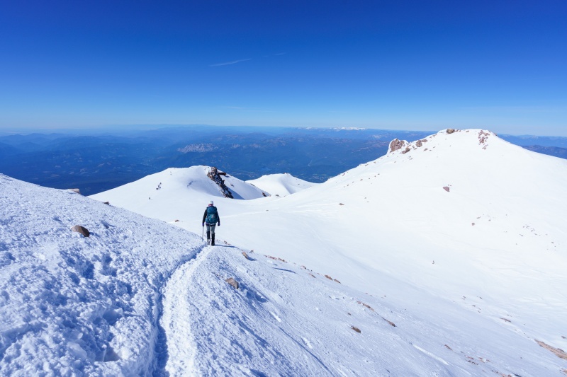
After the steep gully (around 3000 feet of 30-50 degree snow - that'll get the blood pumping!), we were happy to cross the flat plateau leading to Misery Hill, where we could begin to see a conga line of people. THESE WERE THE FIRST PEOPLE WE HAD SEEN ON THE ENTIRE CLIMB. Hurray for West Face.
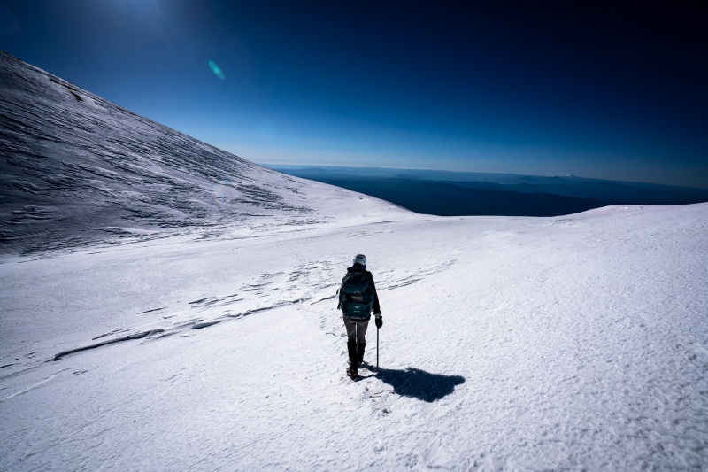
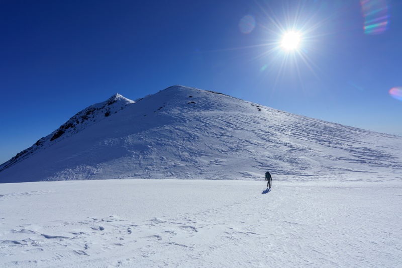
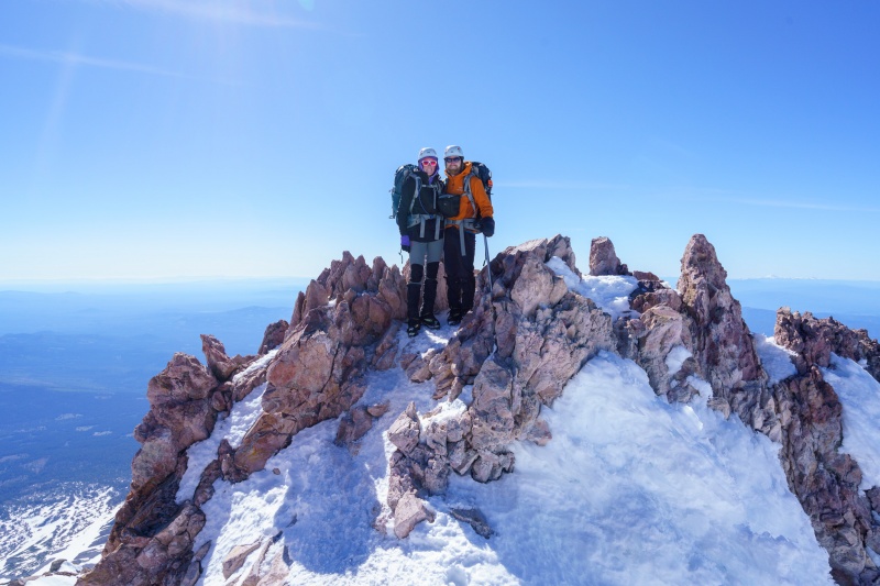
Misery Hill was discouraging, even though it took under a half hour to climb up. After a nice break on the summit plateau, we began heading for the summit itself - which is spectacular!

We raced down...the descent to Hidden Valley only took a couple hours, with the legendary 2500+ glissades taking care of the West Face in just about 40 minutes.
After a quick pack at camp, we raced back to the car hoping to catch an earlier flight.
It was a great climb - probably made more difficult by our recent illnesses, but still a great challenge.
")
")
")
")
")
")
")
")
")
")
")
")
")
")
")
")
")
")
")
")
")
")
")
")
")
")
")
")
")
")