Download Agreement, Release, and Acknowledgement of Risk:
You (the person requesting this file download) fully understand mountain climbing ("Activity") involves risks and dangers of serious bodily injury, including permanent disability, paralysis, and death ("Risks") and you fully accept and assume all such risks and all responsibility for losses, costs, and damages you incur as a result of your participation in this Activity.
You acknowledge that information in the file you have chosen to download may not be accurate and may contain errors. You agree to assume all risks when using this information and agree to release and discharge 14ers.com, 14ers Inc. and the author(s) of such information (collectively, the "Released Parties").
You hereby discharge the Released Parties from all damages, actions, claims and liabilities of any nature, specifically including, but not limited to, damages, actions, claims and liabilities arising from or related to the negligence of the Released Parties. You further agree to indemnify, hold harmless and defend 14ers.com, 14ers Inc. and each of the other Released Parties from and against any loss, damage, liability and expense, including costs and attorney fees, incurred by 14ers.com, 14ers Inc. or any of the other Released Parties as a result of you using information provided on the 14ers.com or 14ers Inc. websites.
You have read this agreement, fully understand its terms and intend it to be a complete and unconditional release of all liability to the greatest extent allowed by law and agree that if any portion of this agreement is held to be invalid the balance, notwithstanding, shall continue in full force and effect.
By clicking "OK" you agree to these terms. If you DO NOT agree, click "Cancel"...
Trailhead: Ute Pass Route: Ute Pass Trail/Ute Peak Trail Length: 10 miles Vertical: 3700 feet Partners: Solo
Several years ago on a climb up Keller Mountain, a friend pointed out Ute Peak to me and said the views from there were something to see. Recently, GreenhouseGuy mentioned Ute Peak to me as well and as I have been looking to "up my game" in the process of recovering from my rotator cuff surgery (discussed here )Surely this peak would be more of a challenge than Bierstadt was a week ago or my first hike after my surgery - (documented here )
And it was more of a challenge. More than I thought it would be. I struggled with this one - perhaps it was because I didn't have the best night's sleep the night before, perhaps because I was having a little stomach grumblings, perhaps because I am a little depressed and irritated that my recovery from the surgery is taking so damn long. Perhaps all of the above. But it took me 4 hours to hike the 5 miles and 3700 feet - not exactly burning up the trail, eh? But, there was some difficult "up to my butt" postholing that did slow me down some.
Enough of my rambling and now to the fun stuff (pictures and a little description)
Captions below pics
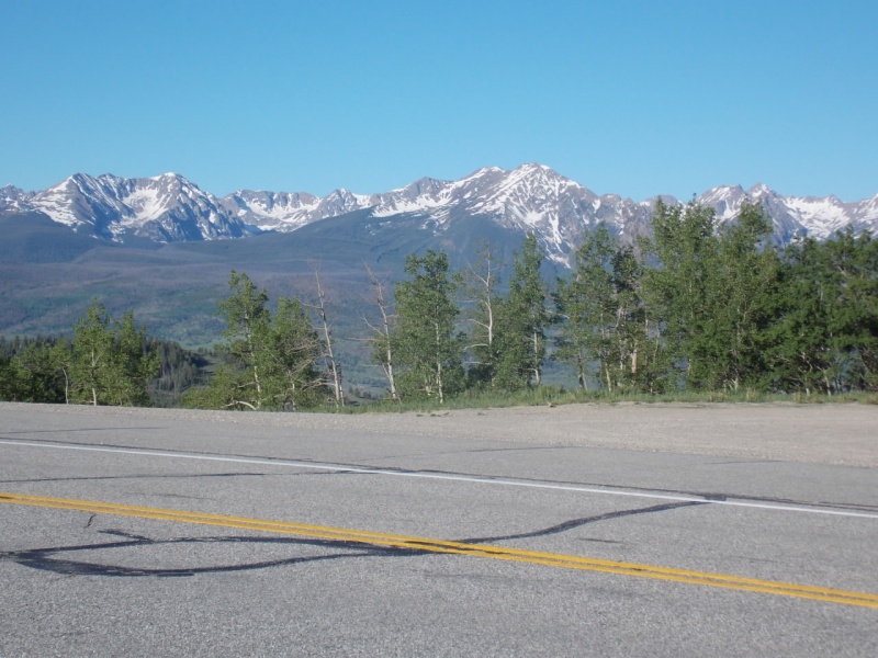
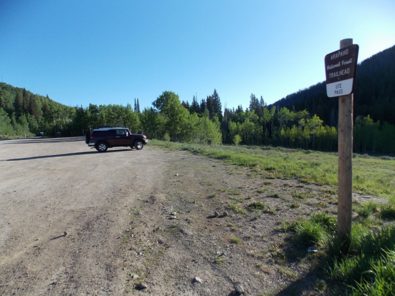
The Gores are visible from the THMy FJ is the lone vehicle at the TH - a common occurrence for weekday hikes of 12ers
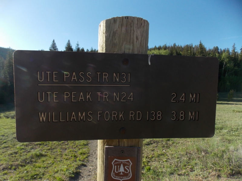
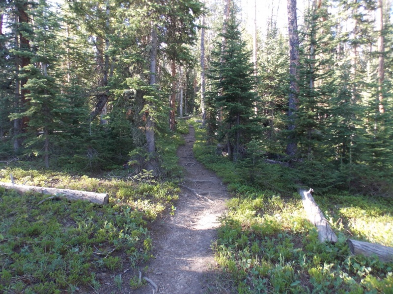
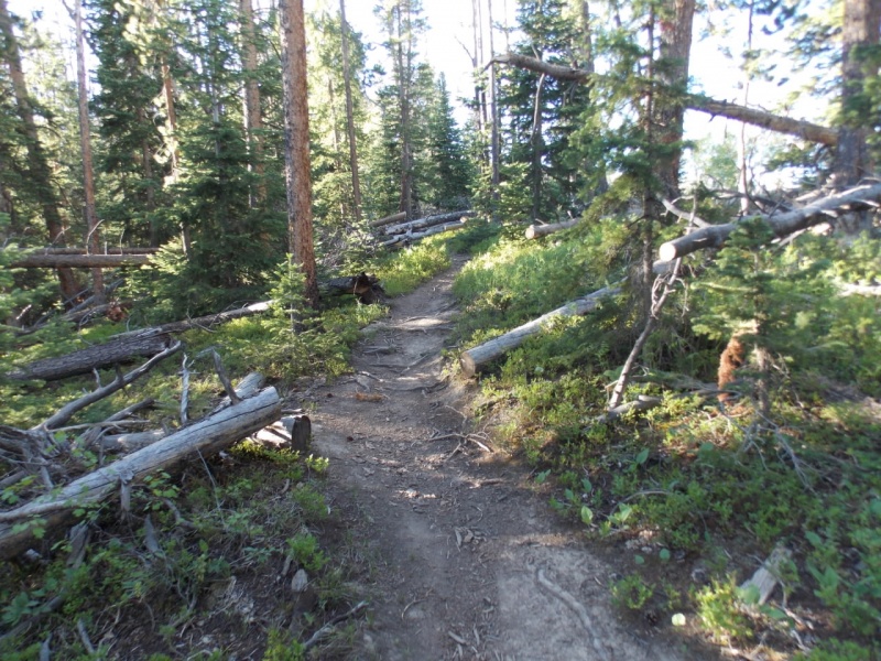
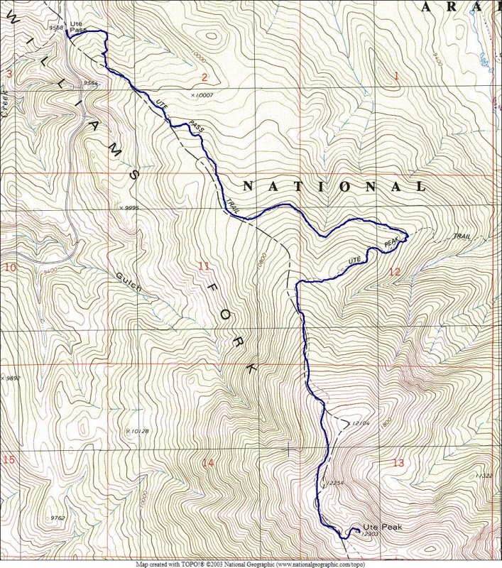
Two trails are used for this hike - The Ute Pass Trail and the Ute Peak Trail. Total distance is 5 miles to the summit. The entire route appears to be in good shape - MUCH trail maintenance in the form of deadfall removal has been done - more so than on any trail I think I have ever been on. That said, there is a lot of new deadfall and with beetle kill, I don't think it would be prudent to make this trek in windy conditions.
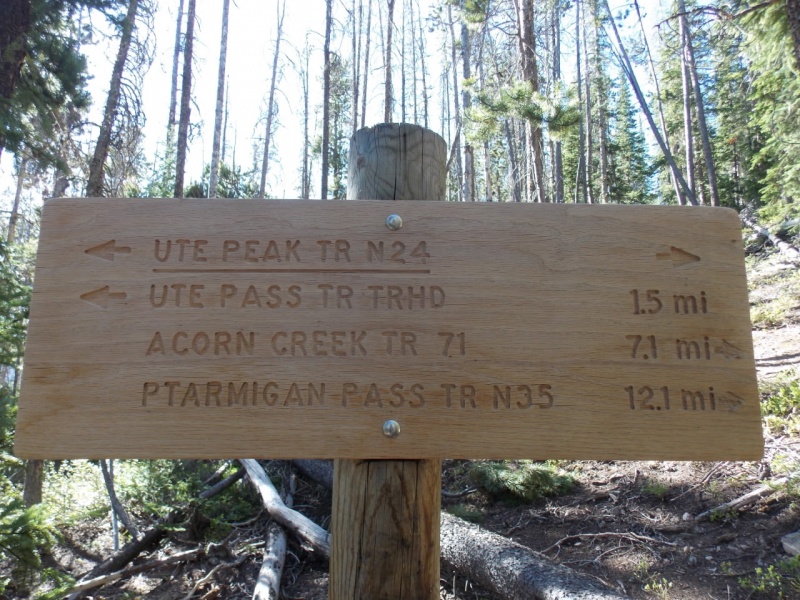
Sign right at the TH
And this one is just a hundred yards down the trail.
Nice trailLots of removed deadfall
I thought I could see the summit from one point along the trail but it tuned out that was PT12254 (see map @ end)
Not the true summit
The trail gains some elevation but then loses about all of it by the time you hit the Ute Peak Trail. While not in the same league as reclimbing Broken Hand Pass from Cottonwood Lake when doing Crestone Peak, it is none the less a bit of a pain on the return trip. I especially felt it as I wasn't doing all that great anyway.
Trail junction.
The Ute Peak trail is in excellent shape as well.
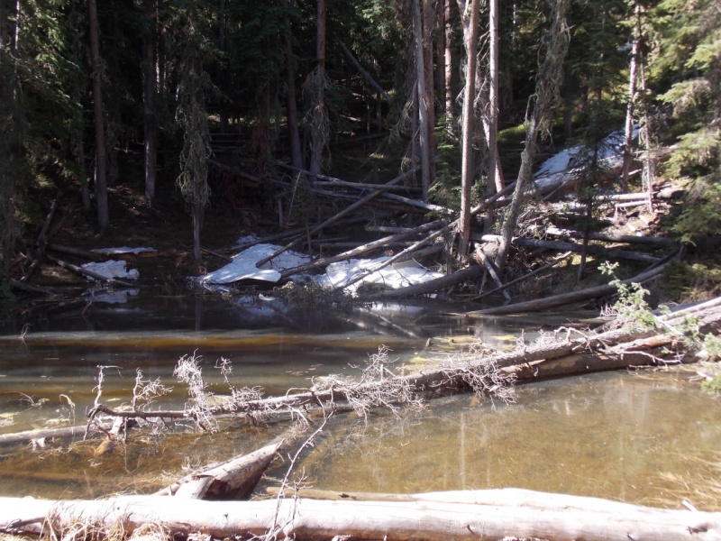
Passing through a lodge pole pine stand.I passed this little pond where mosquitoes most have been breeding as they harassed me the rest of the day.
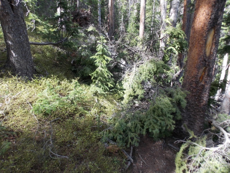
While the trail maintenance had been excellent, recent deadfall abounds and in a couple places, I had to get creative to get around it.
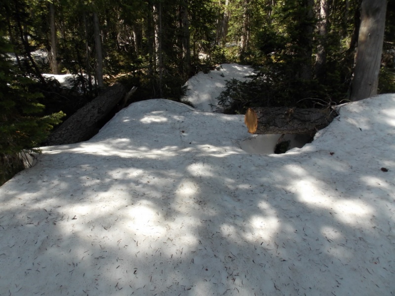
Then the fun began. Post hole city. I only took a couple pictures here - seeing large mounds of snow is not all that exciting. I also lost the trail and didn't find it until I was above timberline.
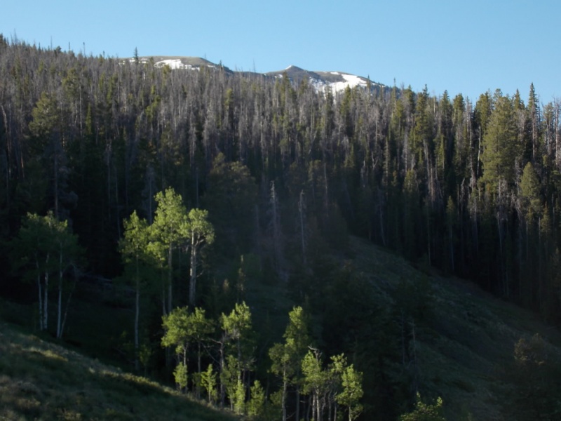
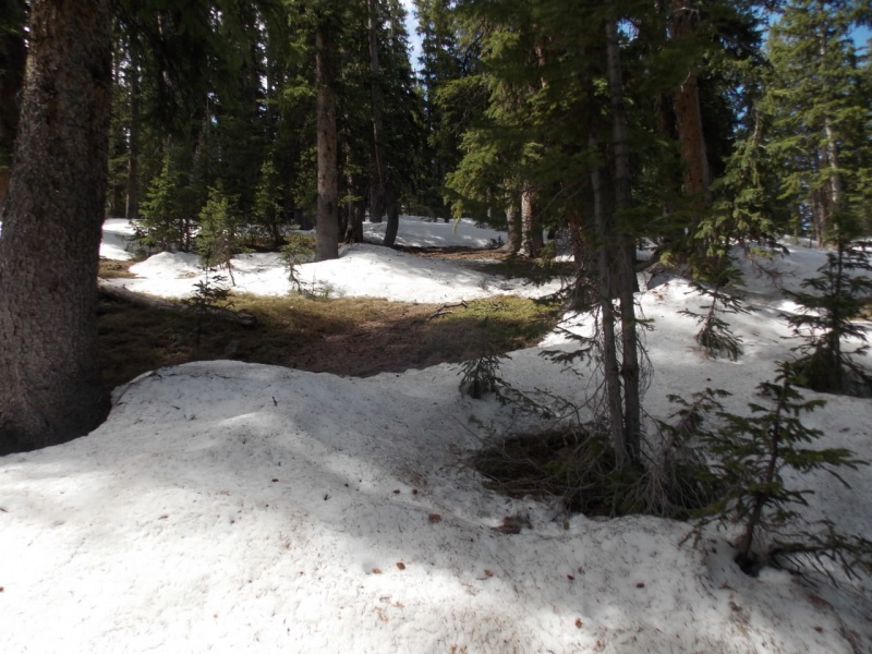
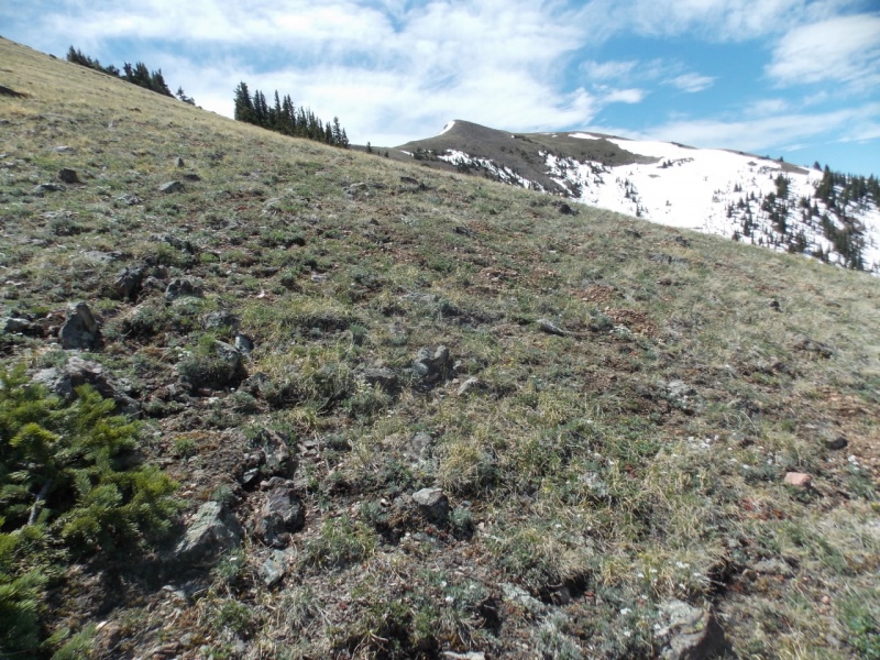
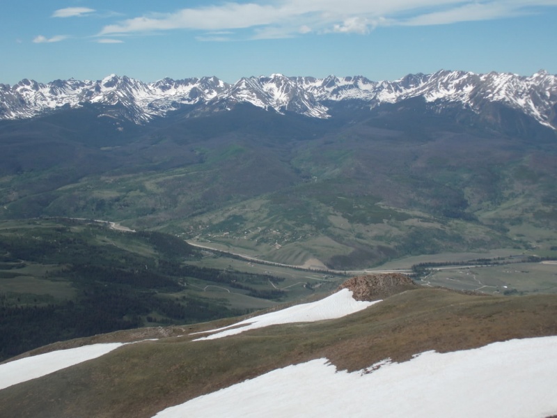
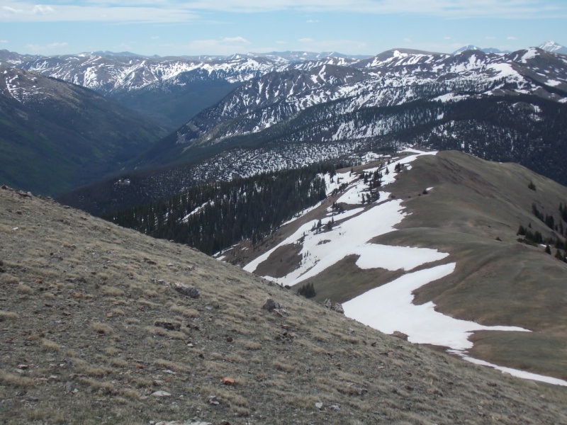
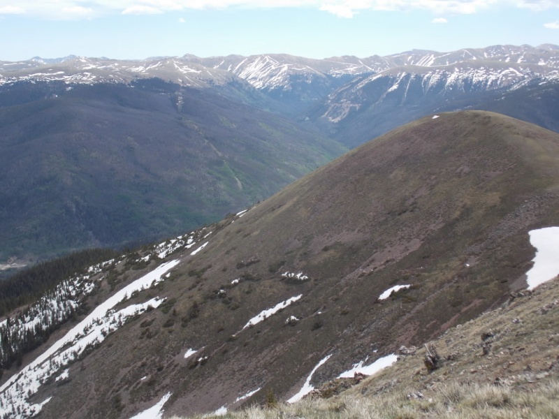
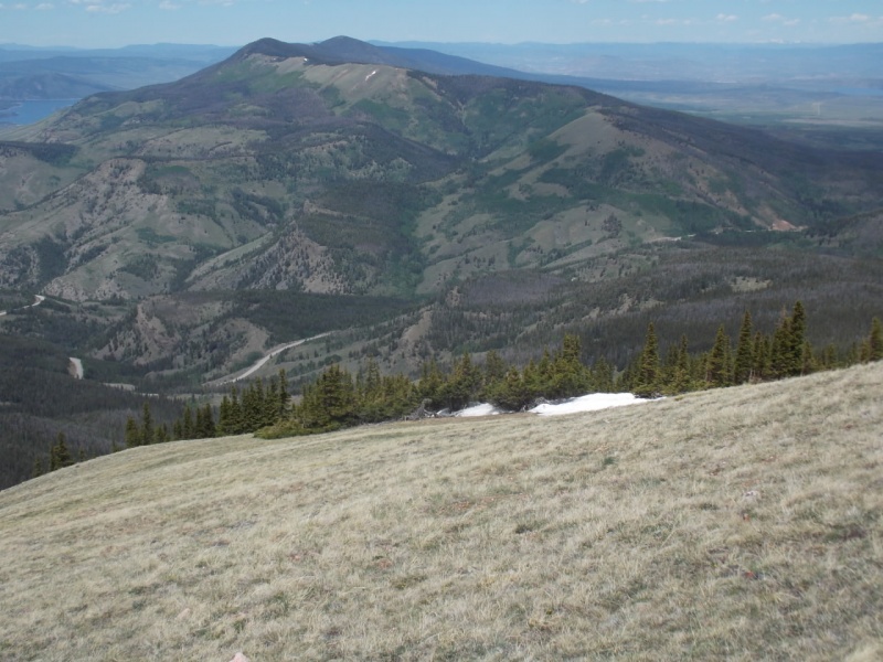
Oh joy...One of the easier sections.Hitting treeline and the snow abated and the views opened up. You just gotta love the Gores
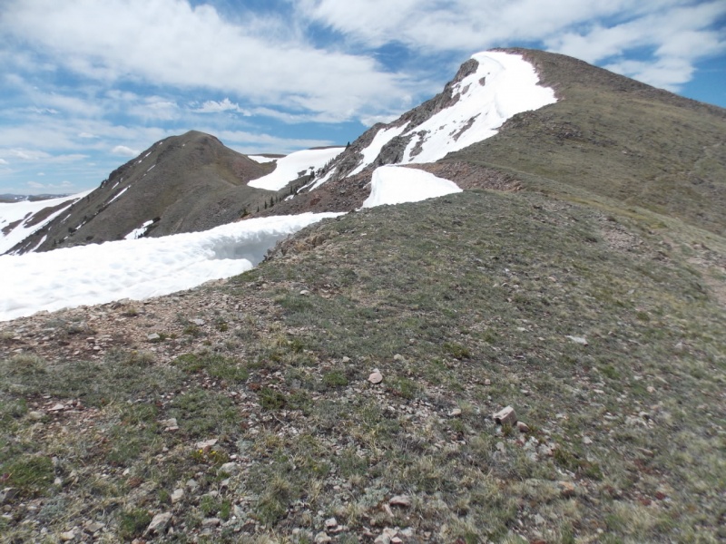
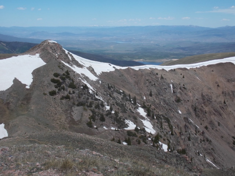
Looking ahead to what I thought was the summit.
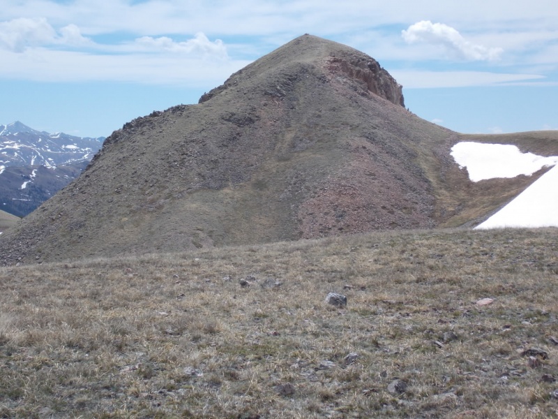
But the true summit is beyond on the left.
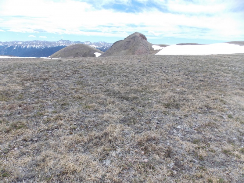
Not much more to go.
I found a faint trail that started out on the right hand side and then traversed up and to the left to the summit.
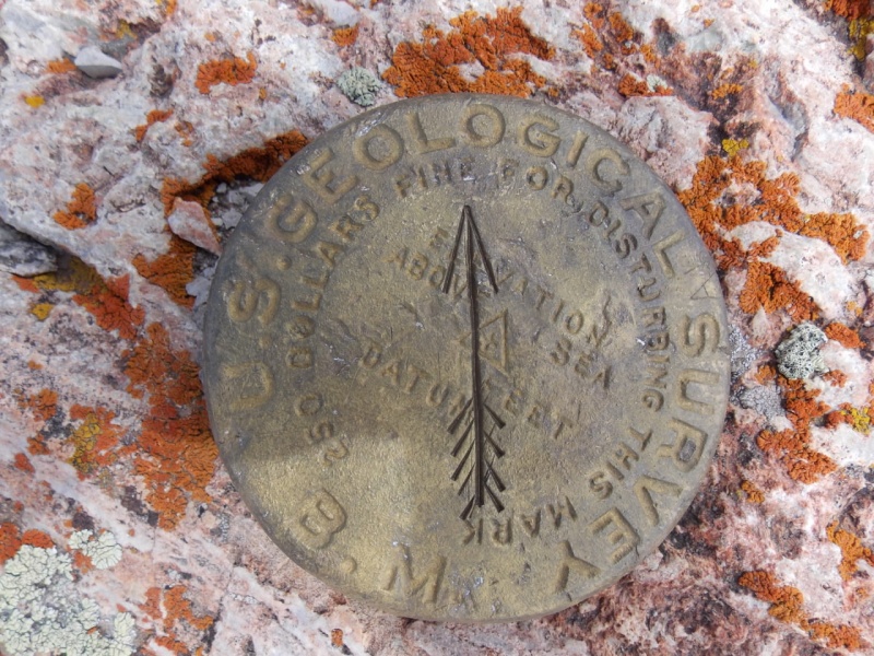
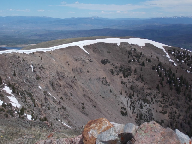
Summit benchmark
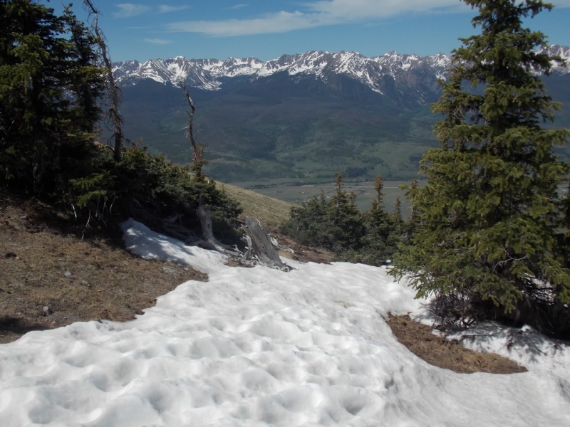
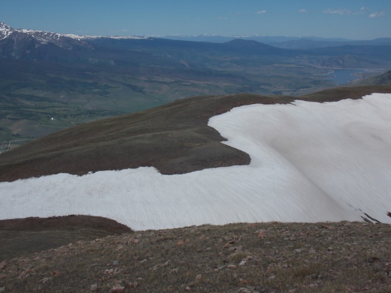
Views from the summit were stellar
Da Gores...
And a short YouTube vid I took from the summit (haven't figured out how to embed that with new TR formatter)
On the way back down, I noticed one little tree on PT12254 that was trying to raise the treeline level...
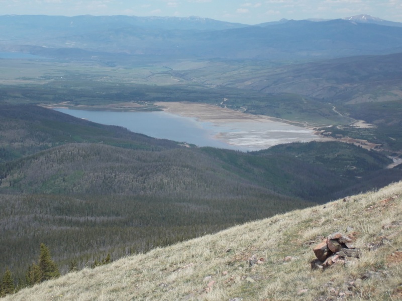
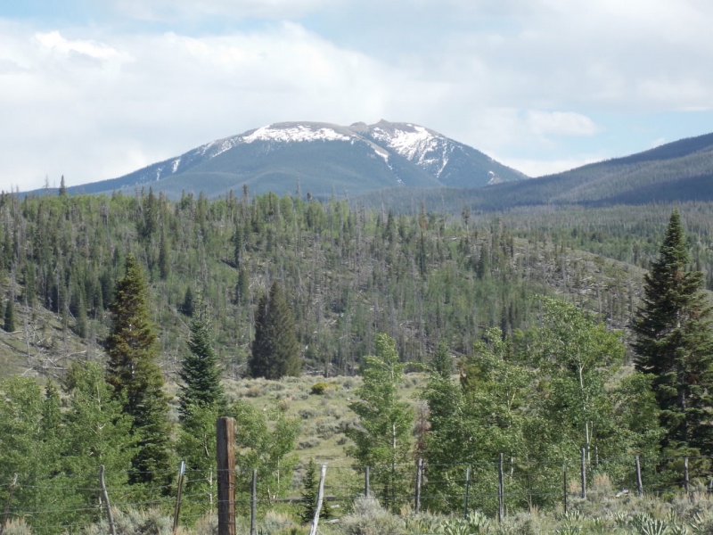
On the way down, a view of the settling ponds for the Henderson MillLooking down at the Ute Pass Road. The TH is on the stretch of road on the far right.And a final picture of Ute Peak on my drive home.
As I don't carry a GPS, this is an approximation of my route
And - as always - thanks for taking the time to read this and please be careful out there!
Thumbnails for uploaded photos (click to open slideshow):
@ awake - Like I wrote, with all the deadfall and beetle kill, I think I would want a day where the wind isn't bad to do that one. I was lucky - only real wind I experienced was on the summit.
@ PaullVee - It was fun - except for the post holing part :)
Thanks for posting - doing this Sunday with my father-in-law. How much postholing was there? Also, was the ridge clear to Acorn creek? We are doing Ute Pass -> Acorn Creek.
I would guess (and it's only a guess) that I spent prob 45min or so postholing. On the way down, I stayed a bit farther west and avoided much of it but one has to be careful not to stay on the west side too long as the bushwhacking gets a little intense on the way back down. Virtually all of the postholing occurs on the way up 12104. I don't know where Acorn Creek is but if it is south of Ute Peak, then yes, the ridge appeared clear to me continuing south. You can see the ridge to the south at about 15 seconds into the vid link I posted. Hope that helps and if not, please PM me with more questions. --Jay
Thank you for the info. Yes - Acorn Creek is to the south then drops off the ridge to the west. Fairly seldom traveled trail.
Caution: The information contained in this report may not be accurate and should not be the only resource used in preparation for your climb. Failure to have the necessary experience, physical conditioning, supplies or equipment can result in injury or death. 14ers.com and the author(s) of this report provide no warranties, either express or implied, that the information provided is accurate or reliable. By using the information provided, you agree to indemnify and hold harmless 14ers.com and the report author(s) with respect to any claims and demands against them, including any attorney fees and expenses. Please read the 14ers.com Safety and Disclaimer pages for more information.
Please respect private property: 14ers.com supports the rights of private landowners to determine how and by whom their land will be used. In Colorado, it is your responsibility to determine if land is private and to obtain the appropriate permission before entering the property.


")
")
")
")
")
")
")
")
")
")
")
")
")
")
")
")
")
")
")
")
")
")
")
")
")
")
")
")
")
")
")
")
")
")
")
")
")
")
")
")
")


