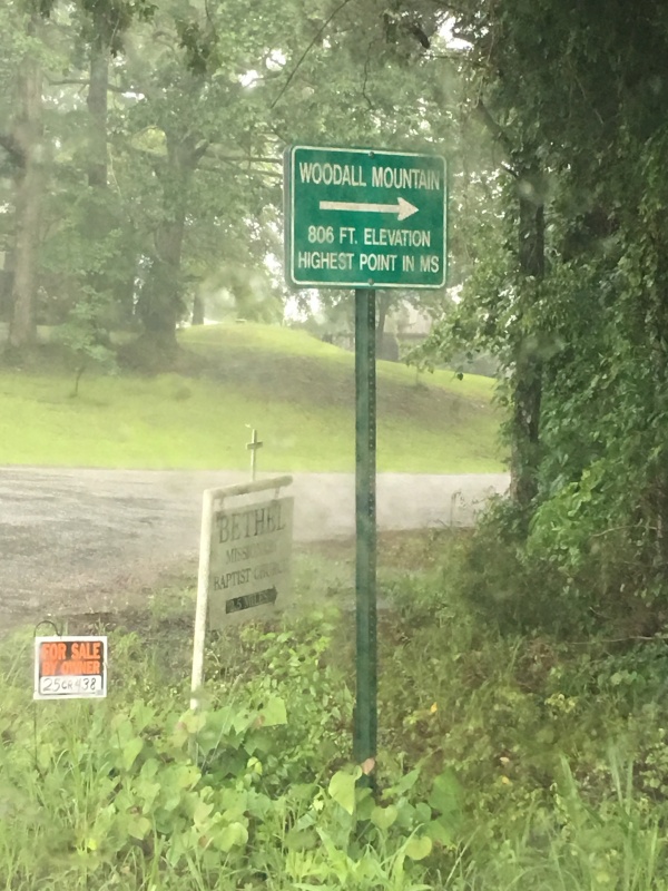
Mississippi State Highpoint--Woodall Mountain-806'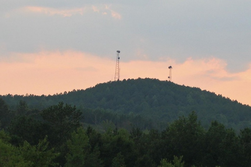
photo credit: Kevin Baker
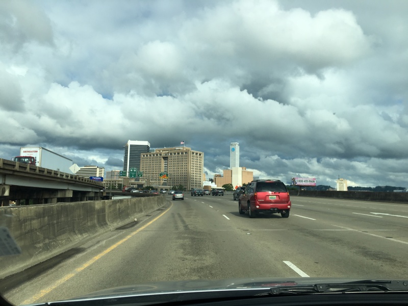
I had a trip planned to Chattanooga, TN to attend and film (video) my nephew’s wedding. Why not kill two additional birds with one stone so to speak. So, instead of flying direct into Chattanooga, I got a flight into Birmingham so I could more easily go “climb” two more needed state highpoints; Mississippi and Alabama.
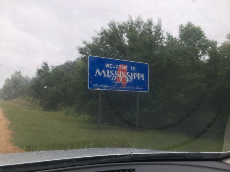
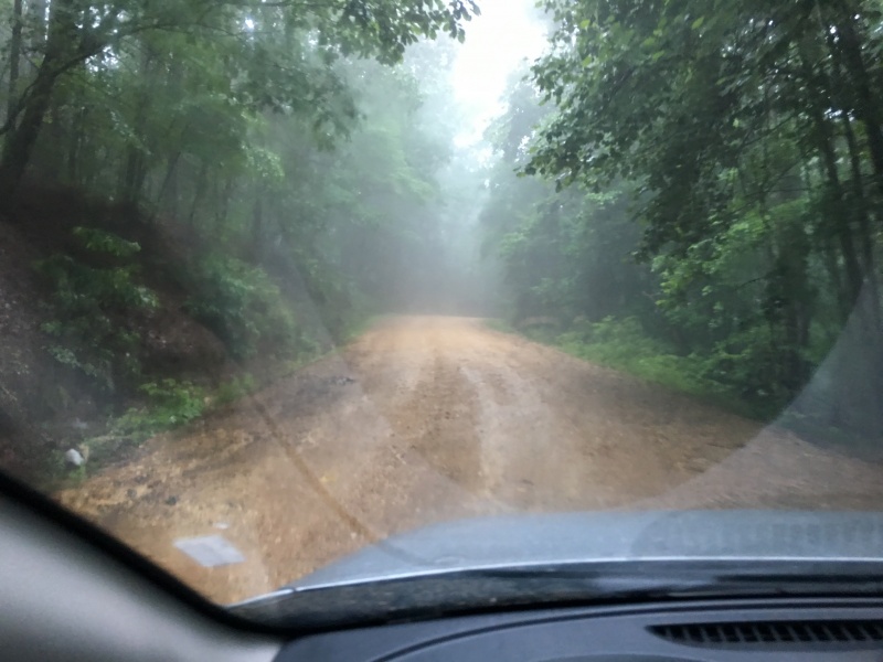
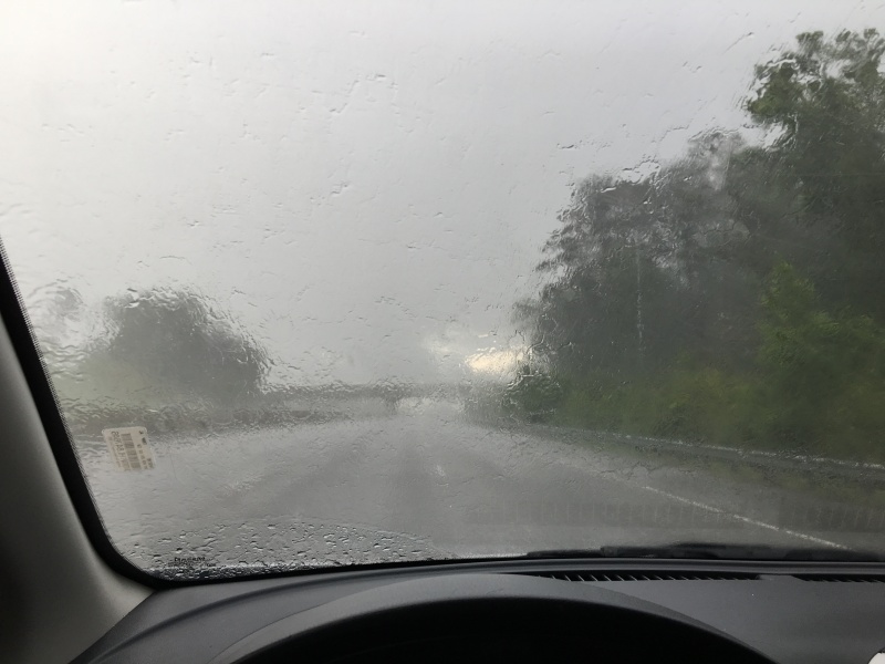
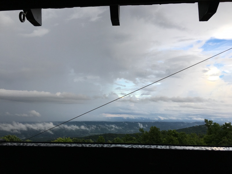
The filming of the wedding went off without a hitch and so, the next day I’m off driving cross country for 3 ½ hours to Mississippi. What I didn’t plan on was a tropical storm to descend on the lower Gulf Coast states at this exact time! Since the rain was coming down in buckets, almost every photo during this Mississippi state highpoint adventure is taken from inside the car!
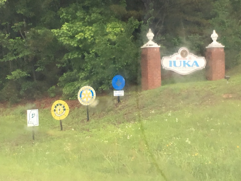
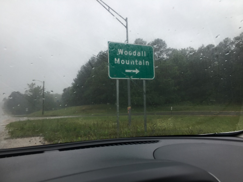
The highpoint is just a bit south west of Iuka, MS. Just make your way there and find the crossroads of US Highway 75 (Lee Hwy) and Mississippi 25 (Veteran’s Memorial Dr.).
Driving directions to the summit are spot on from the page on SummitPost.org: https://www.summitpost.org/woodall-mountain/153825
I took the southern route. Surprisingly this little mountain is very well signed.
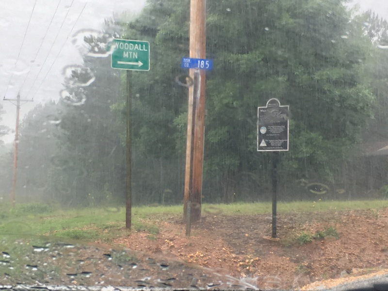
Being in a compact rental car during a tropical storm, I was worried when I read that the road to the summit was a “steep dirt road.” However, it turned out to be well packed with no ruts or pot holes. Whew!
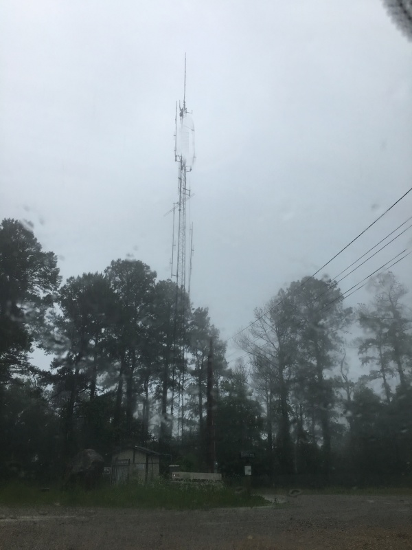
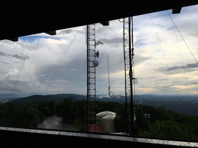
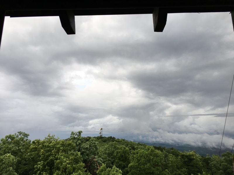
I guess it makes sense to have radio towers on the highest pieces of ground but it sure ruins the ambiance for a grandiose highpoint adventure.
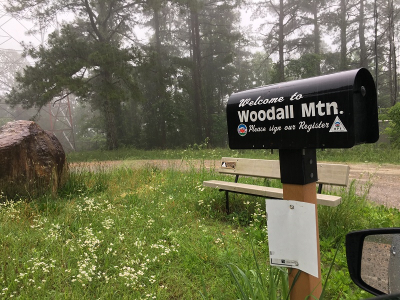
But like many state highpoint summits, this one had the HighpointersFoundations.org traditional bench seat, as well as the mailbox to hold the summit register. The good news is, just like many home mailboxes, I could drive right up to it.
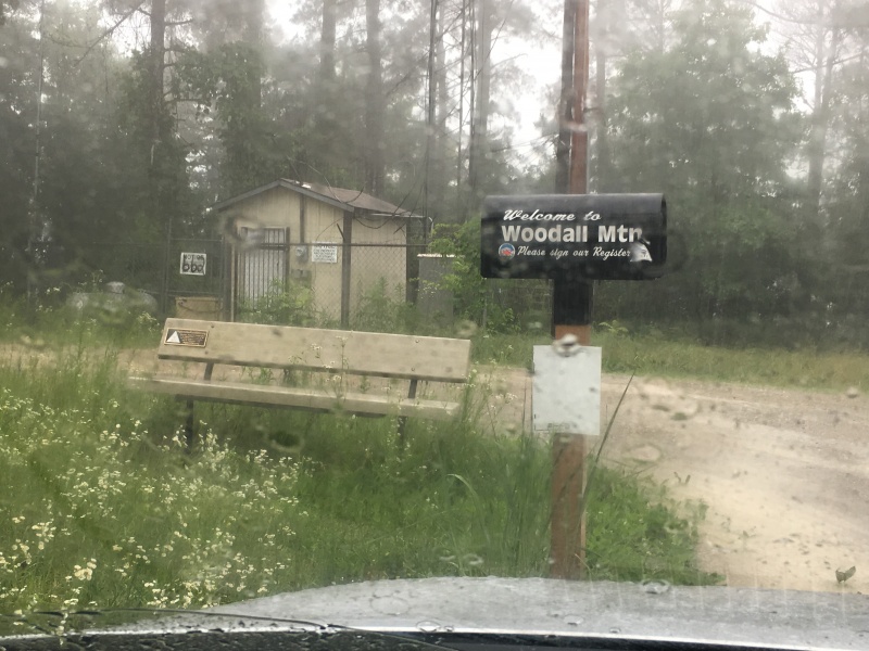
That was convenient to “get the mail” in the rain.
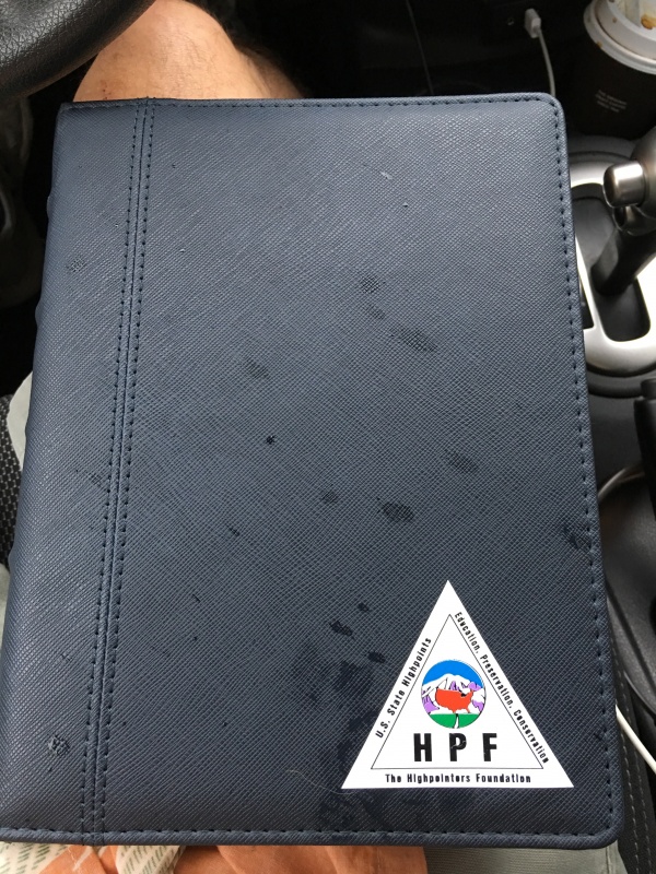
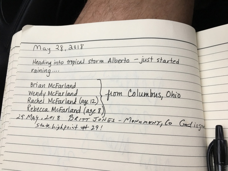
The people who “summited” the day before made mention of Tropical Storm Alberto. I did my duty to and left my mark before moving on.
I remembered reading about the big huge rock that was deposited on the spot. It was still here.
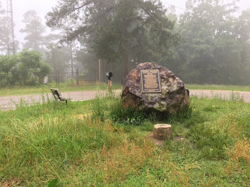
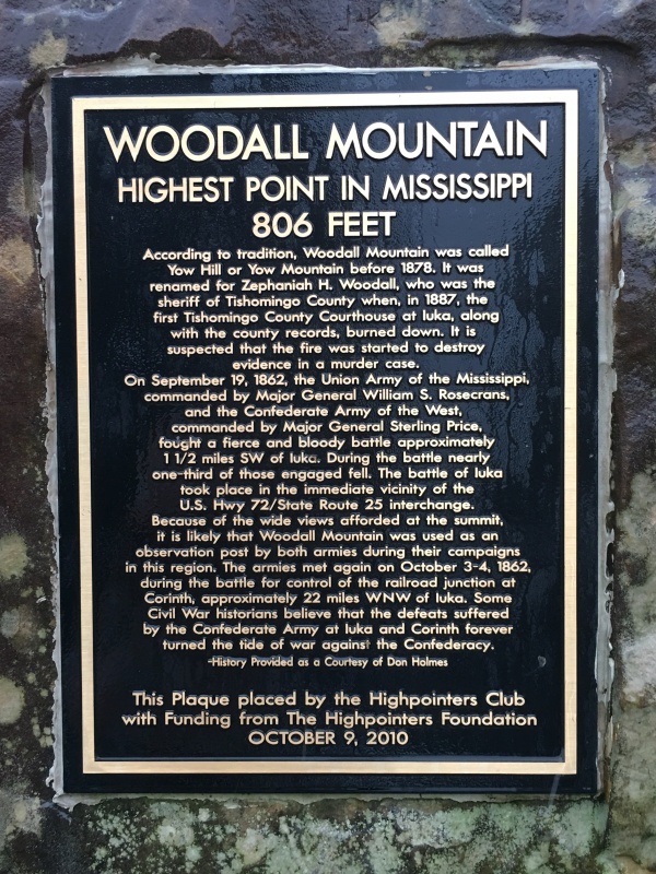
And placed upon it is a plaque marking the elevation at 806 feet above sea level, as well naming history as well as some interesting civil war history regarding this high spot and the area down around Hwy 72 and 25.
The tropical storm put a small damper on things, however, it was still fulfilling to get another state highpoint after a lull in the action for many months.
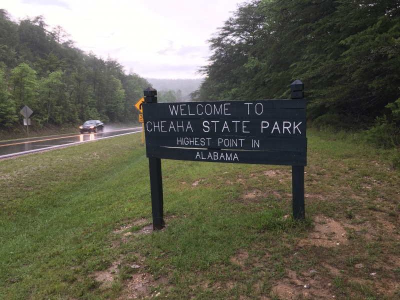
Alabama State Highpoint--Cheaha Mountain-2,407'
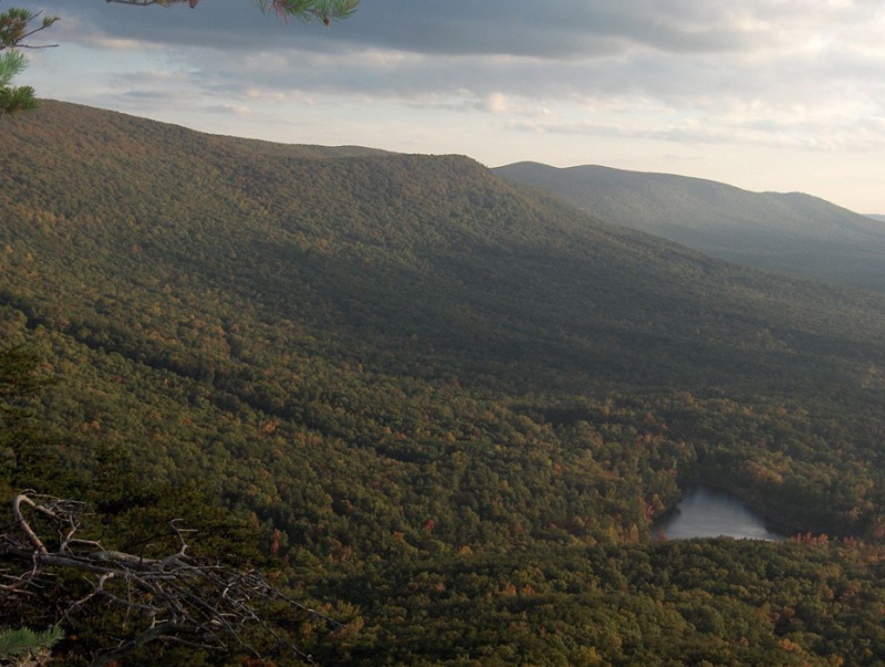
photo from Summit Post page in the public domain
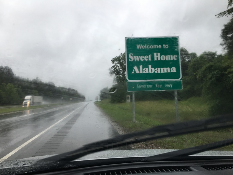
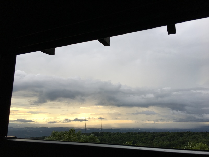
My goal was to head east to the Alabama state highpoint next and hopefully make it before sundown. The rain continued as well as my second 3 ½ hour drive and more behind the windshield photography.
As I was driving through Birmingham, I get a glimmer of hope that this deluge was going to let up.
Nope….not gonna happen!
Alabama’s state highpoint is Cheaha Mountain-2,407’. You can find more info on Summit Post:
https://www.summitpost.org/cheaha-mountain/151246
It is in Cheaha State Park.
http://www.alapark.com/cheaha%20-state-park-self-guided-tour-ccc-buildings-and-more
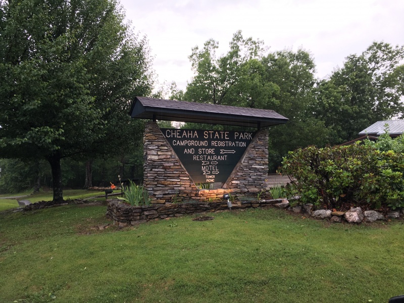
Not a problem as the entrance fee was one of the most reasonable I’ve seen at a state park at only $5.00. I had planned to spend the night here to that was worth it.
Yup…you guessed it. More radio towers. This mountain actually has more than eight of them scattered about.
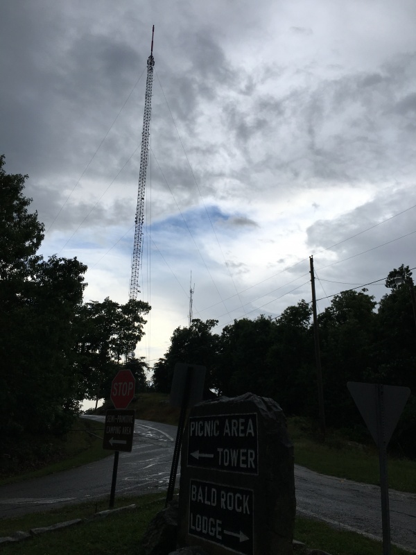
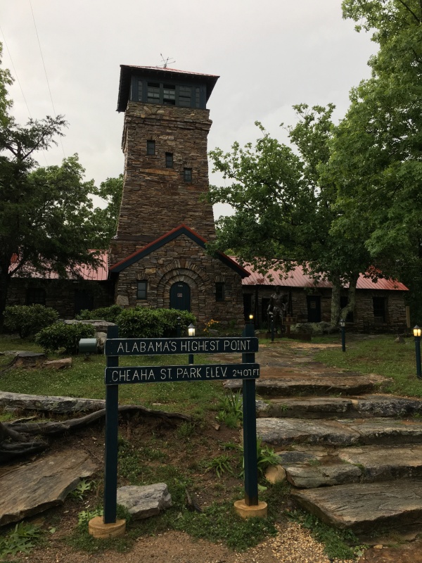
However, along with the radio towers, there is actually a very nice summit tower built by the Conservation Corp.
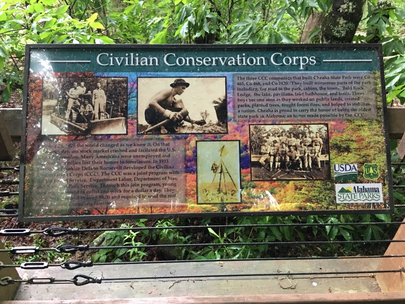
Here is the info: October 29, 1929 the world changed as we know it. On that infamous day, the stock market crashed and facilitated the U.S. Great Depression. Many Americans were unemployed and numerous families lost their homes to foreclosure. In 1933 President Franklin Delano Roosevelt developed the Civilian Conservation Corps (CCC). The CCC was a joint program with the US Forest Service, Department of Labor, Department of War, and the National Park Service. Through this joint program, young men were allowed to enlist and work for a dollar a day. These boys became men as they worked on public lands, created parks, planted trees, fought forest fires, and help to stabilize a nation.
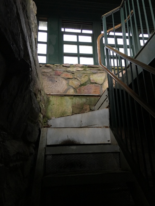
Since I made it before sun down the door wasn’t locked so, I made my way inside and up the stairs.
The views are nice if you can look past the obvious transmission towers!
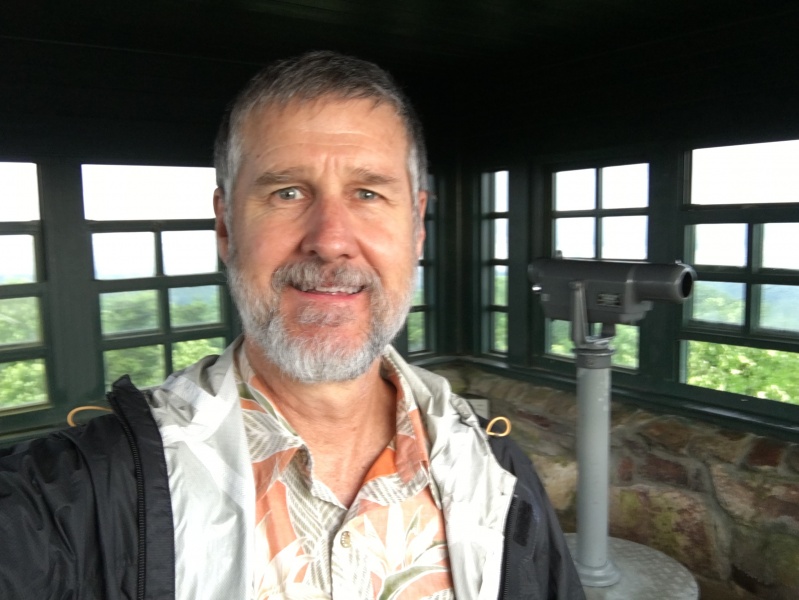
With the rain happening in Mississippi, I forgot to get any sort of summit selfie to prove I was there. Being inside the summit tower and out of the rain, I did think to take one. Not that anybody is looking to see me, but it does prove I was here since there is no summit register.
There is more to see and do in this state park than just seeing the highpoint tower. There is a 2 ½ mile loop road giving access to other overlooks, several campgrounds, a really nice group lodge, cabins, hotel, nice restaurant and bar, even a swimming pool. But one of the nicest things is the Doug Ghee Accessible Trail which is “a mountaintop boardwalk for everyone.”
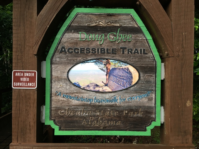
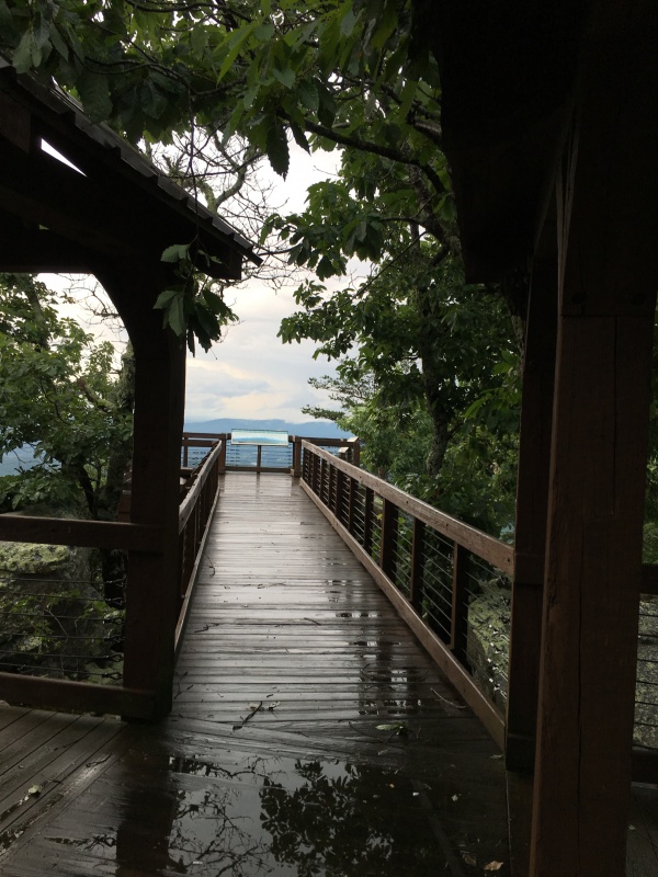
This wheelchair accessible above ground boardwalk went on for a surprisingly long way. I went back the following morning and measured it during a 2nd hike out. It was .3 mile. I thought that would be a long wheelchair trek. And yet, it was totally worth the hike out to the end…especially since this was the one time of the day that it had actually stopped raining. God is good!
Bald Rock is the name of the overlook.
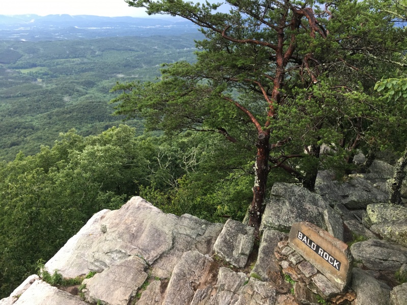
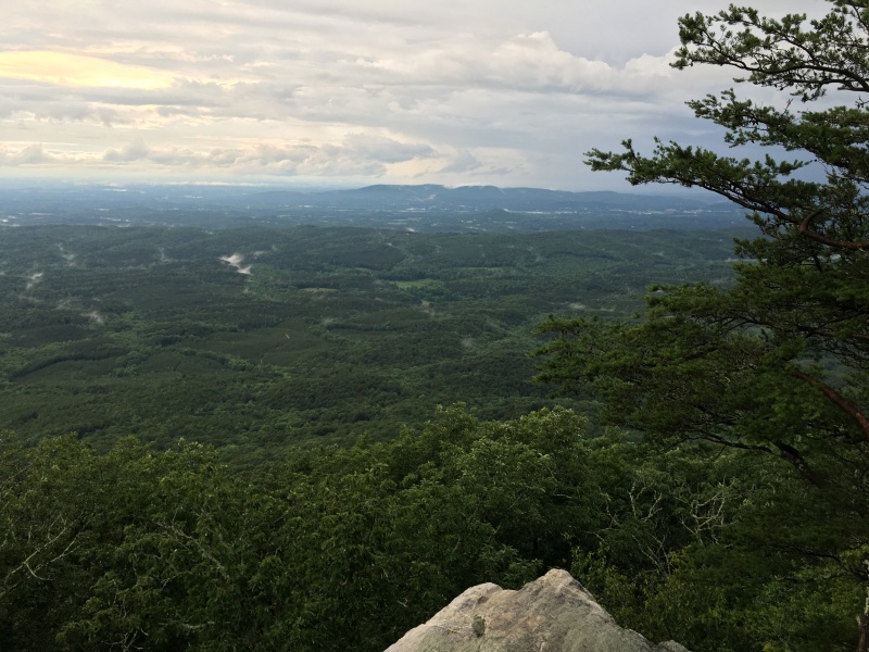
And the views were way more than I was expecting. Beautiful!
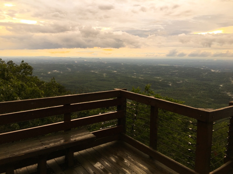
I went down the road to the restaurant with an excellent overlook for dinner, watching the sunset pop in and out of the clouds. Then I spent the night in the park. I didn't want to pay the $100 for one of the hotel rooms, and yet I didn't bring any camping gear. So, I planned to spend the night in the car after watching my climbing friend Steve do it often. However, I found very nice alternative though I won't mention it on here. The next morning, after my early hike out to Bald Rock I snagged a coffee once the restaurant opened. Then it was back to the Birmingham airport.
State highpoints #29 and #30 are now in the books. My adult scavenger hunt continues!
")
")
")
")
")
")
")
")
")
")
")
")
")
")
")
")
")
")
")
")
")
")
")
")
")
")
")
")
")
")
")
")
")
")
")
")


