| Report Type | Full |
| Peak(s) |
Pennsylvania Mountain - 13,013 feet Mt. Evans - 13,591 feet |
| Date Posted | 11/27/2017 |
| Date Climbed | 11/26/2017 |
| Author | Ptglhs |
| Rarely hiked traverse Penn - Evans B |
|---|
|
This is my 1st Trip Report so pardon me if the photos aren't linked properly. Also, they're from my cell phone so not all of them are sharp. :/ I had been wanting to hike a few more peaks in the mosquito range for a while now. I did Sheridan/peerless/Horseshoe before Thanksgiving and now that I was back from family festivities it seemed like a good time. I left CO Springs about 0445, intending to start the hike right at 0700 (sunrise). I followed US 24 to CO 9 to CR 14, which was paved for the 1st mile and good quality dirty road (est 1/6) for the next 4 miles, the last mile or so was ~2/6, but easier than Kite Lake or the road up to the TH of Sherman. There is a private residence at the very end of CR 14. I parked in a turnaround outside of their property. Elevation gauge said 11,350ft. The basin from which Sacramento creek drains was beautiful in the pre dawn light.  I started at 0706. I skirted around the fence with signage 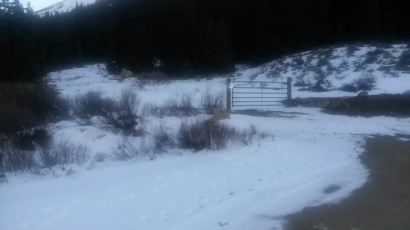 Around 11.8k and after ~1mile I left the ATV track and started up the southern face of Pennsylvania. 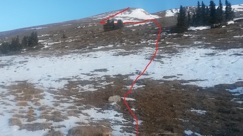 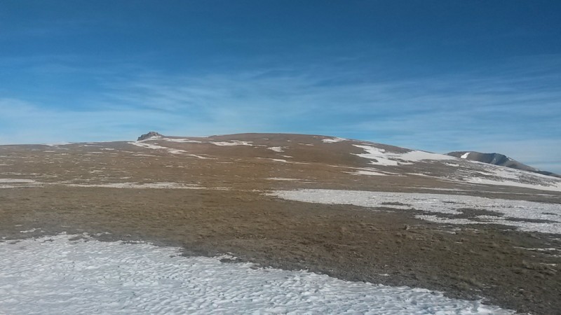 It was 0930 and after a break I was ready to head over to Evans B. I looked down the ridge from Penn and saw the power lines near the saddle, running perpendicular 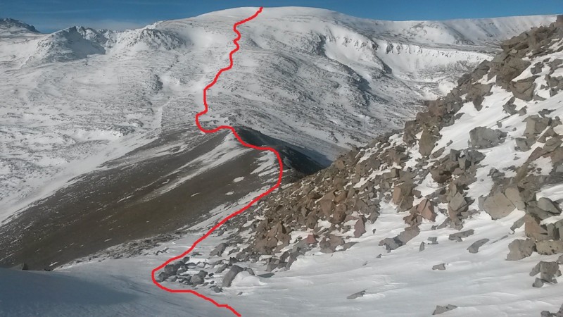 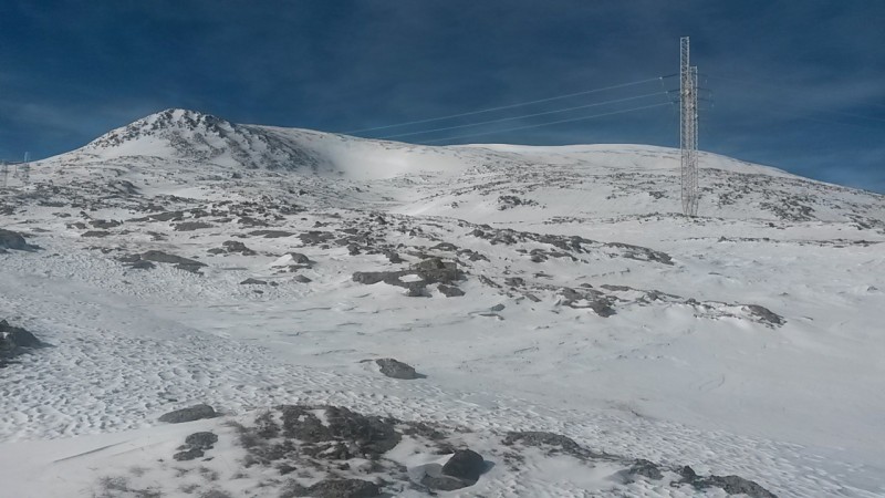 The going up Evans was long and arduous. I kept putting my cramponed feet through the snow in places. There were several false summits, which is demoralizing. 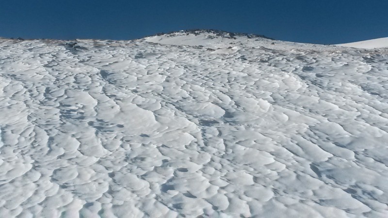 The final summit push was steep in the snow. Slope angle lists it at less than 27deg but it felt much more steep. The snow was very deep, I could push my 75cm ice ax in all the way at several places. I slowly zig zagged my way up the last 200 ft to the summit. I enjoyed spectacular views of the Sawatch range! 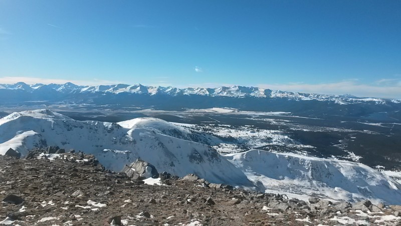 It was now 1245. My plan had been to head over to Dyer mountain, then tag Gemini to get 3.5 summit for the day. However, I knew that the basin would be in shadow by 1530 and the stars would be out by 1800. Considering I was by myself, and making my route up as I went I had given myself a 1300 turn around time. I knew I wouldn't be up on Dyer's summit til 1400 at the earliest, probably closer to 1430 given how slow it was to go in the snow on the steep slopes. I decided to play it safe and call it a day. I took the easiest route out: I minimized avalanche risk, kept to the snow where it was firm, put on snowshoes ~13.1 and left them on until ~12.2. 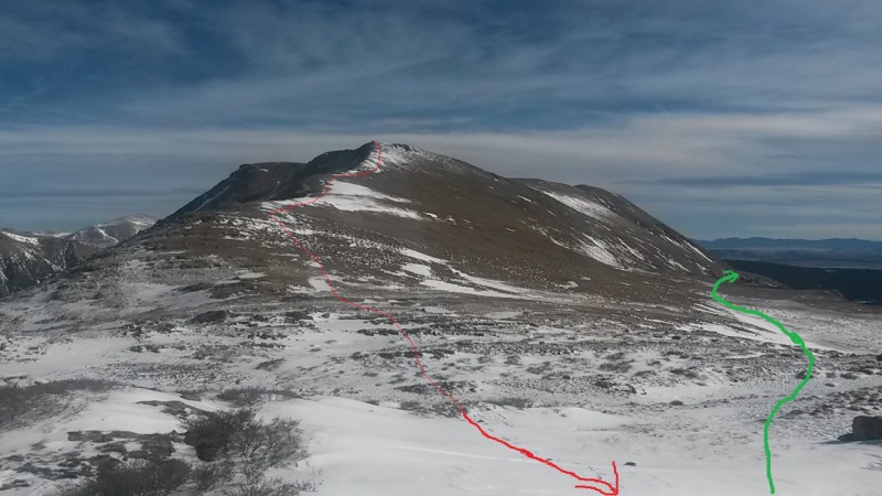 I returned to my car just before 1500. I resolved to head back and get Dyer and Gemini at some future date. Maybe I'll head up from the Iowa Gulch trailhead and tag Sherman again, just for fun! The file image is my google topo map with approximate route. According to google and this website I hiked 7.6 miles and did about 3k of vertical elevation gain. 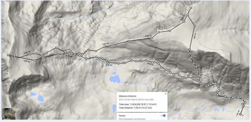 |
| Comments or Questions | ||||||
|---|---|---|---|---|---|---|
|
Caution: The information contained in this report may not be accurate and should not be the only resource used in preparation for your climb. Failure to have the necessary experience, physical conditioning, supplies or equipment can result in injury or death. 14ers.com and the author(s) of this report provide no warranties, either express or implied, that the information provided is accurate or reliable. By using the information provided, you agree to indemnify and hold harmless 14ers.com and the report author(s) with respect to any claims and demands against them, including any attorney fees and expenses. Please read the 14ers.com Safety and Disclaimer pages for more information.
Please respect private property: 14ers.com supports the rights of private landowners to determine how and by whom their land will be used. In Colorado, it is your responsibility to determine if land is private and to obtain the appropriate permission before entering the property.
