Download Agreement, Release, and Acknowledgement of Risk:
You (the person requesting this file download) fully understand mountain climbing ("Activity") involves risks and dangers of serious bodily injury, including permanent disability, paralysis, and death ("Risks") and you fully accept and assume all such risks and all responsibility for losses, costs, and damages you incur as a result of your participation in this Activity.
You acknowledge that information in the file you have chosen to download may not be accurate and may contain errors. You agree to assume all risks when using this information and agree to release and discharge 14ers.com, 14ers Inc. and the author(s) of such information (collectively, the "Released Parties").
You hereby discharge the Released Parties from all damages, actions, claims and liabilities of any nature, specifically including, but not limited to, damages, actions, claims and liabilities arising from or related to the negligence of the Released Parties. You further agree to indemnify, hold harmless and defend 14ers.com, 14ers Inc. and each of the other Released Parties from and against any loss, damage, liability and expense, including costs and attorney fees, incurred by 14ers.com, 14ers Inc. or any of the other Released Parties as a result of you using information provided on the 14ers.com or 14ers Inc. websites.
You have read this agreement, fully understand its terms and intend it to be a complete and unconditional release of all liability to the greatest extent allowed by law and agree that if any portion of this agreement is held to be invalid the balance, notwithstanding, shall continue in full force and effect.
By clicking "OK" you agree to these terms. If you DO NOT agree, click "Cancel"...
I arrived late at the trailhead for 2 reasons:
1: When I got up I needed to fold some laundry, start a new load, and clean up from the kids' late night baking session (the dishwasher was full and needed to be unloaded and then loaded again).
2: The I25 was closed for 2 exits and the detour took forever because of all the semis trying to navigate the downtown streets.
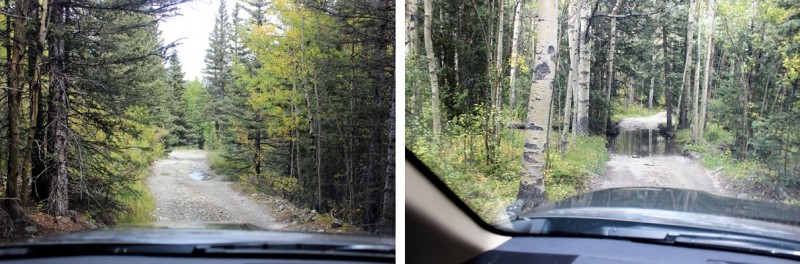
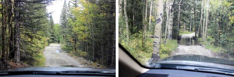
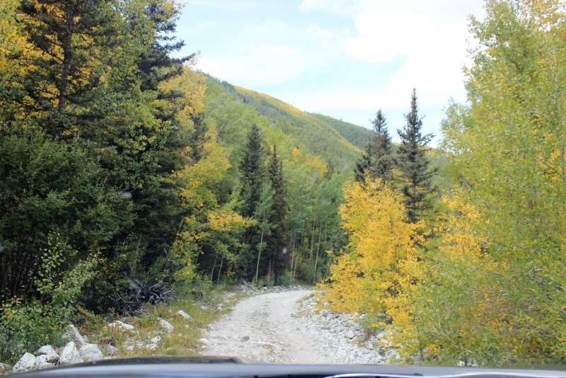
So even though I got up at 2am I made it to the Huerfano / Lily Lake Trailhead at 6:15am. Here are some pics of the easy 4WD road to the trailhead.
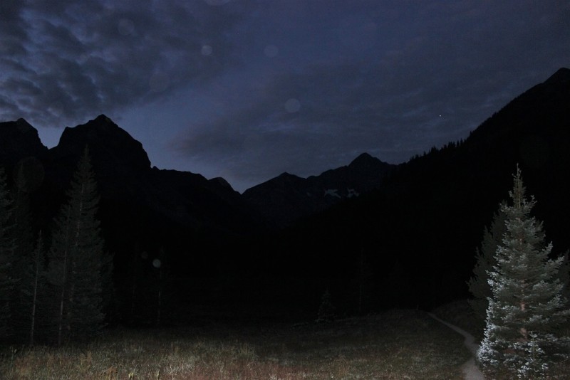
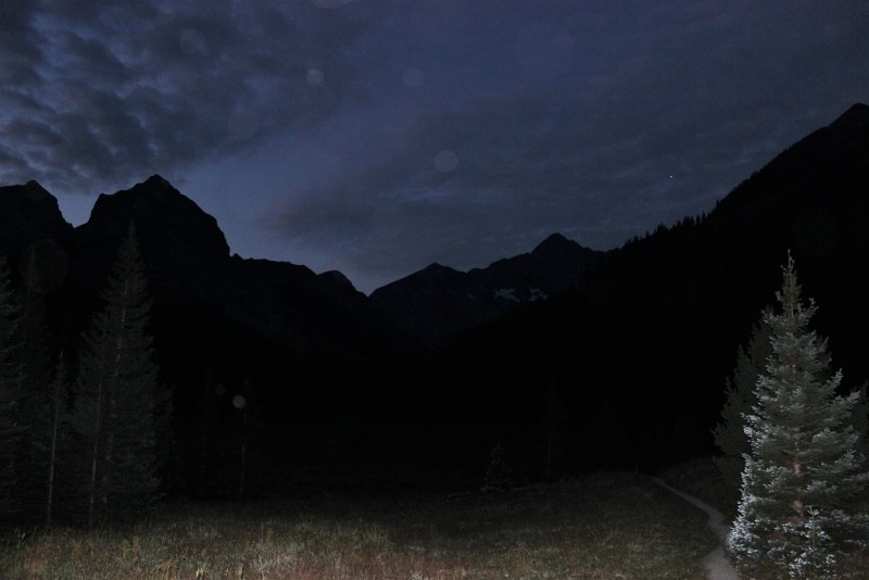
There were two other cars in the parking lot (which could probably hold 10 in the immediate area, but there was a lot of room on the road itself as well). I was on the trail by 6:30pm. It was just beginning to get light outside.
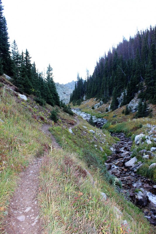
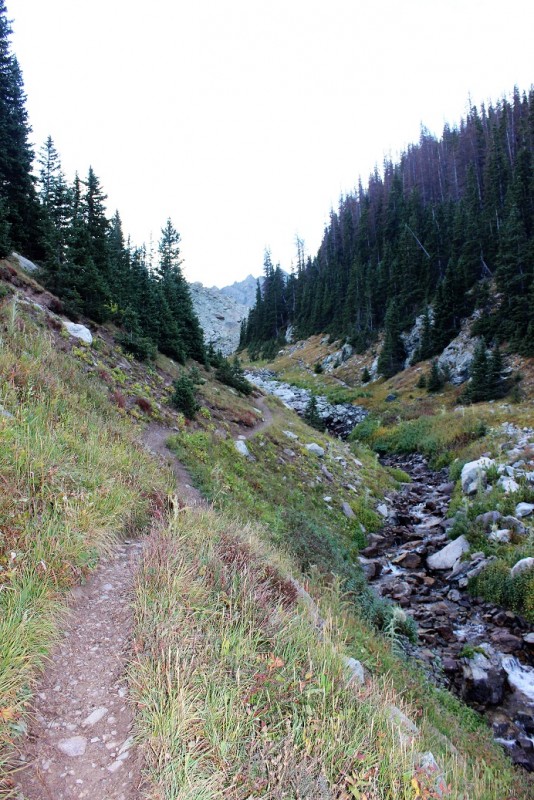
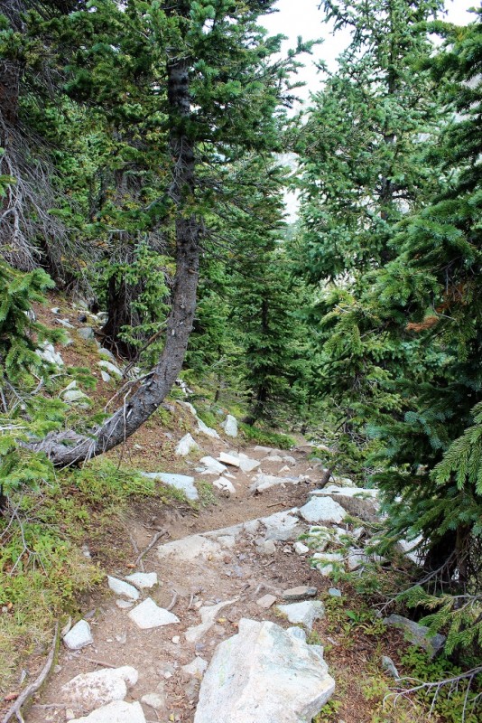
The beginning of this hike was pretty easy. It followed a creek and a boulder field.
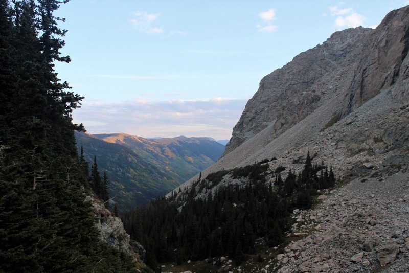
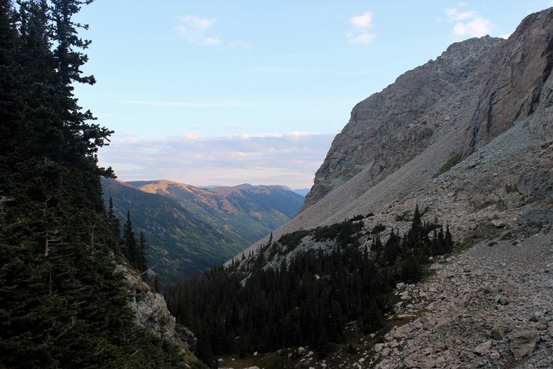
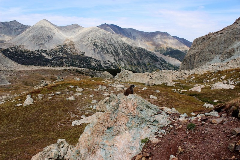
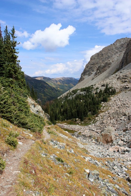
I could tell the views on the way back were going to be amazing!
I followed a waterfall up a hill and saw two hikers at the mine. (Side note, I had an epiphany here: Mine probably came from the word âmineâ. Think about it). Anyway, they were on the other side of the stream and couldn't hear me, so I waved and continued on.
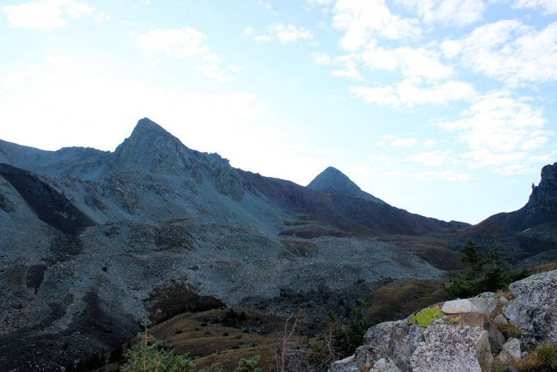
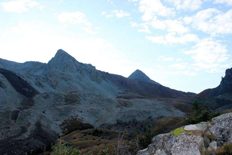
Here's my first view of Mt. Lindsey. It's the peak to the center right.
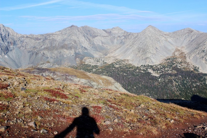
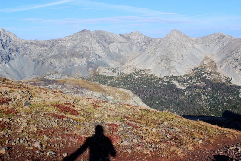
I crossed this basin and ascended the hillside. At the top I took a shadow selfie, because that's what I do.
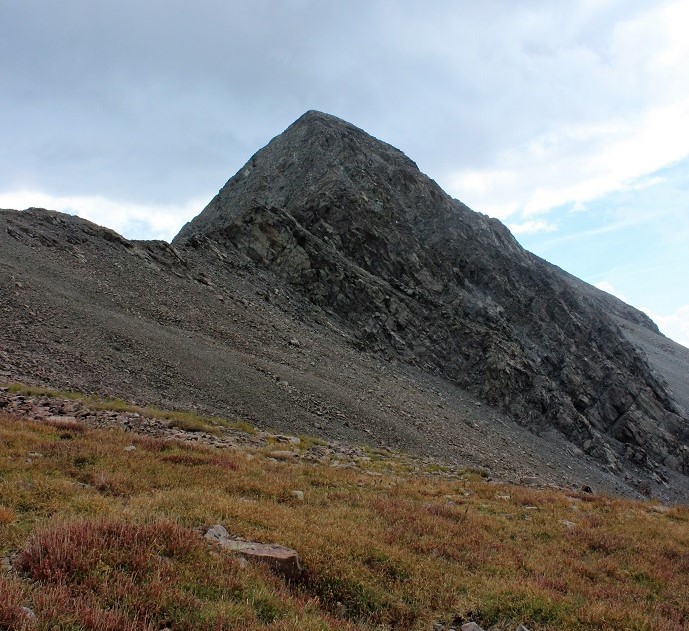
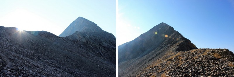
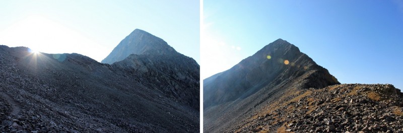
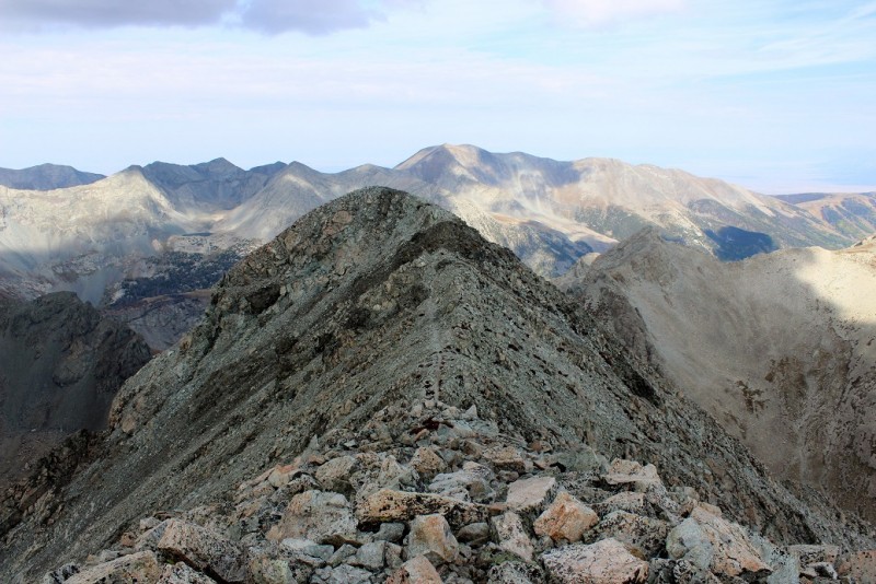
Here I reached a saddle, and decided to leave my hiking pole at a cairn, as this was a class 3 hike/climb and it wouldn't help any when I needed two hands. I took a picture of both sides of Mt. Lindsey and put my camera away.
It was here I met a man who stopped and talked with me a bit about blogging and 14ers.com
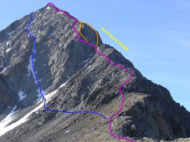
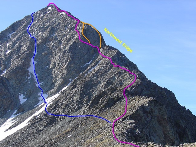
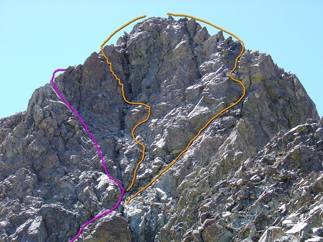
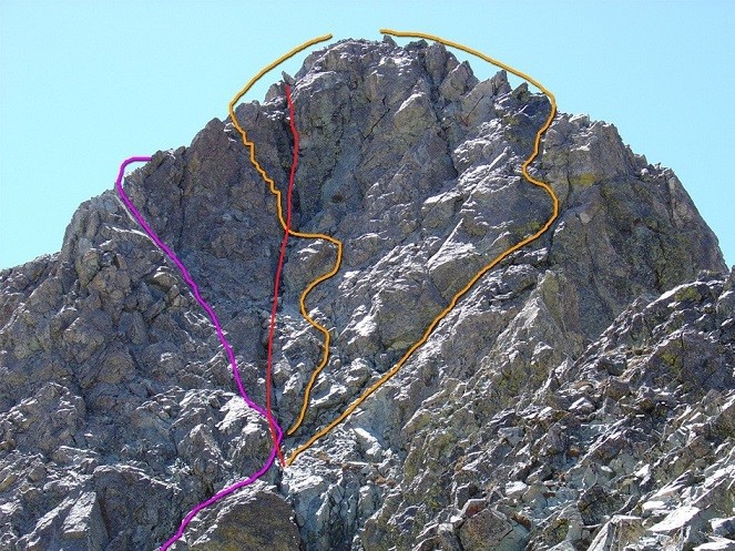
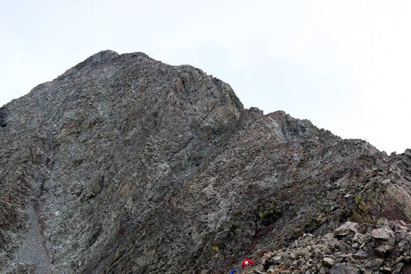
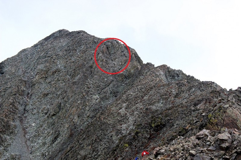
We met up again while I was putting on my helmet. I was trying to figure out my route. I didn't want to hold my map as I was climbing, so I was studying the picture I had and what I could see in front of me. I didn't want to take the gully (blue line) because I'm not a fan of gullies. I wanted to take the pink line, as that's an easy class 3. We discussed our routes and both agreed not to take the gully.
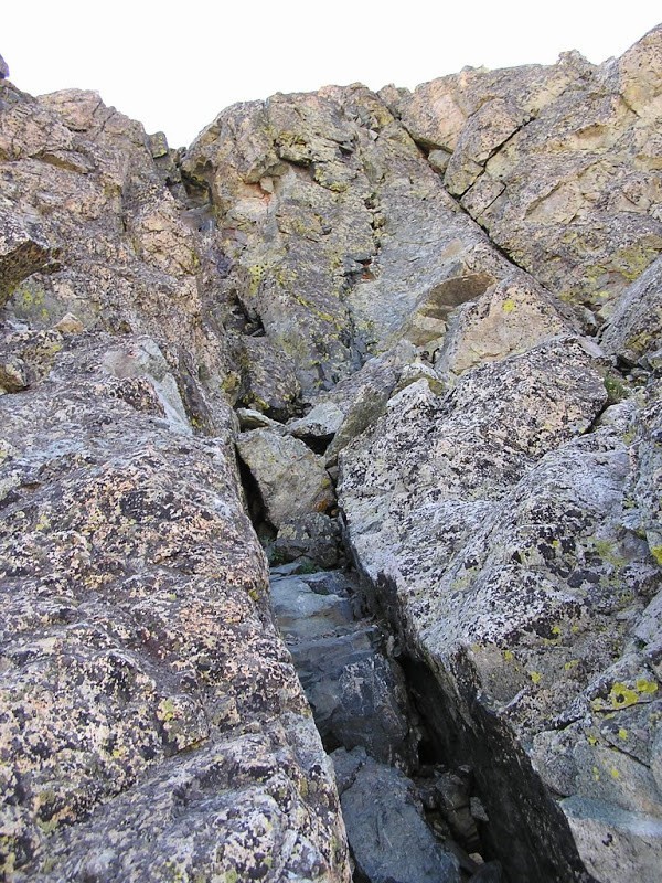
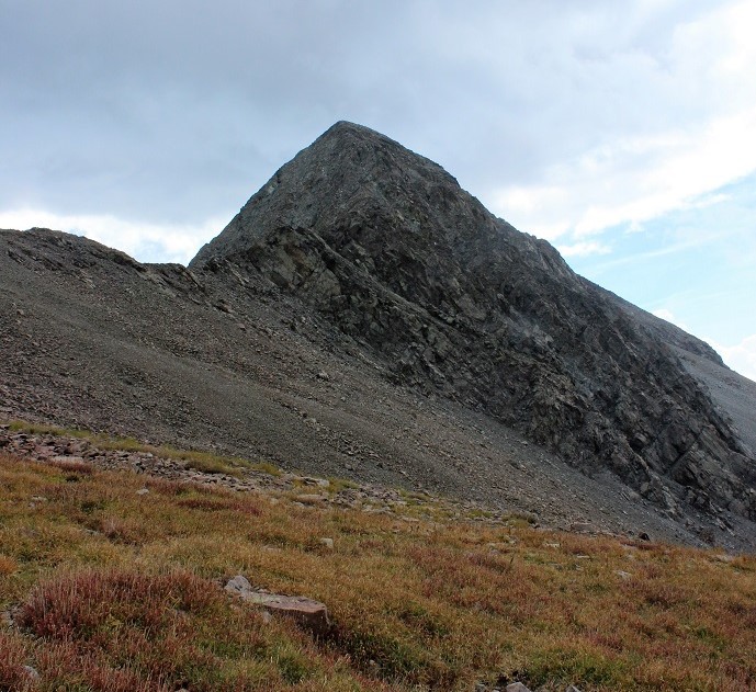
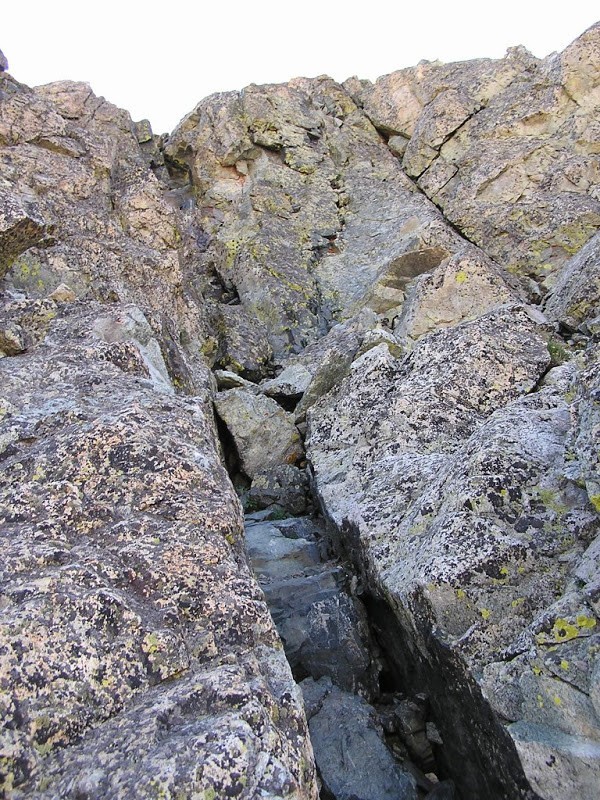
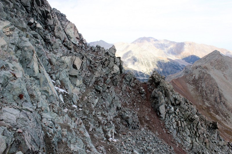
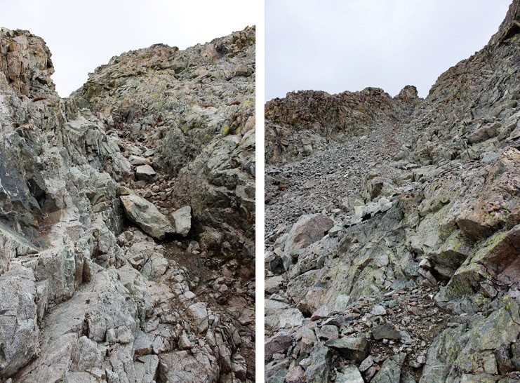
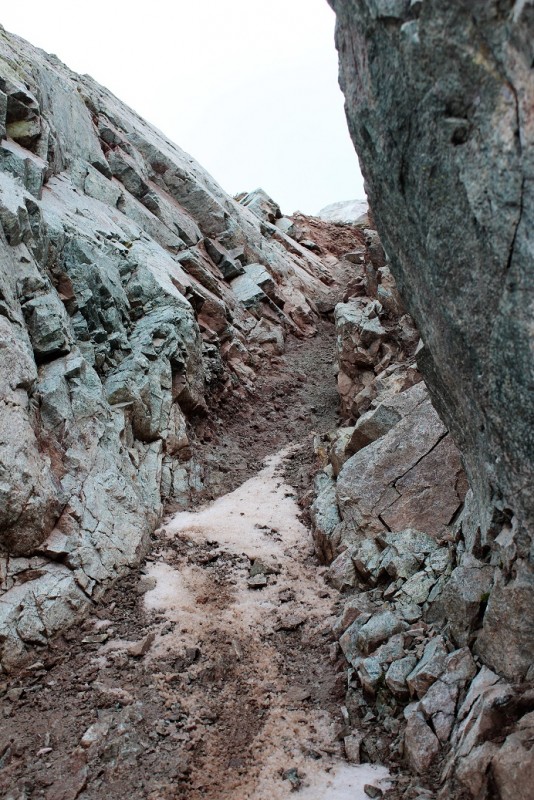
I put on my helmet, put away my map, and started my way up. I'd told myself to just hug the left side of the ridge and I'd be fine. The sunlight was blinding, shining directly in my eyes. It was difficult to see any sort of trail. It took some maneuvering, but I felt I was doing pretty well. Until I came to the crux. That's where the route diverges into 3 different parts about halfway up the ridge. However, I couldn't tell that was where I was at. Looking at a picture/map is totally different from when you're actually climbing. You can't see much in front of you or behind you while climbing, so you have to go by memory from what you saw below. I knew I was good as long as I stayed to the left of the ridge, so I looked up and started climbing. The easiest route looked to be the pitch, so that's where I went. It wasn't too hard until I was almost all the way up. This is what it looked like:
I kept thinking to myself as I was climbing: âThis is MUCH harder than Longs Peak. Aren't they both supposed to be class 3's?â My research had told me Longs was harder than Lindsey, but this was only my second class 3. I felt what I was doing was within my abilities, but why was this so difficult? And why did this feel so much more difficult than Longs? I knew at this point I must have been off route, but I still felt confident I was within my abilities and could turn back if needed.
By this time the man who'd talked with me before had caught up with me again. I was doing the route finding and he was following me. Since I had an extra pair of eyes I called back to him âHey, from where you're standing does it look like this line goes to the top?â I figured it never hurts to double check.
He said it did, and I was almost there. Great! Except I didn't fit though the path I needed to take, and going back down wasn't an option I wanted to take (but would have if necessary). I'm not a big girl (5'4â, 105lbs), but in order to make this move I'd need to remove my backpack and lift myself/crawl sideways and up through a tight space. Once again, I felt secure I could do this (without my backpack). I discussed this with the man below me, and we decided to help each other out: I took off my backpack, climbed up, and he handed it up to me, then took off his and handed me his backpack. This worked great, and we both made it! The entire time I kept thinking to myself how I did NOT want to go down this way! I wouldn't be able to see what was below me, and even knowing there was a ledge just beyond my sight I knew it'd be suicide. I needed to find a safer route down, and knew I had options.
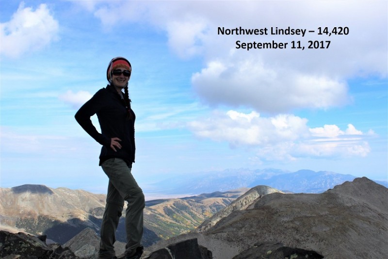
We separated once again and I was off to find the summit. This part of the hike was slippery with a lot of loose rock. When I finally gained the ridge to what I hoped was Mt. Lindsey I realized I was at Northwest Lindsey (14,020). Luckily I could see Mt. Lindsey in the distance.
I thought briefly about taking a picture of me summiting here, but didn't deem it as too important, so I pressed on.
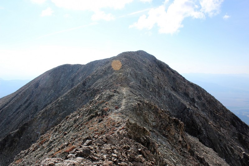
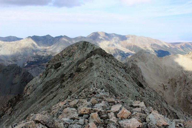
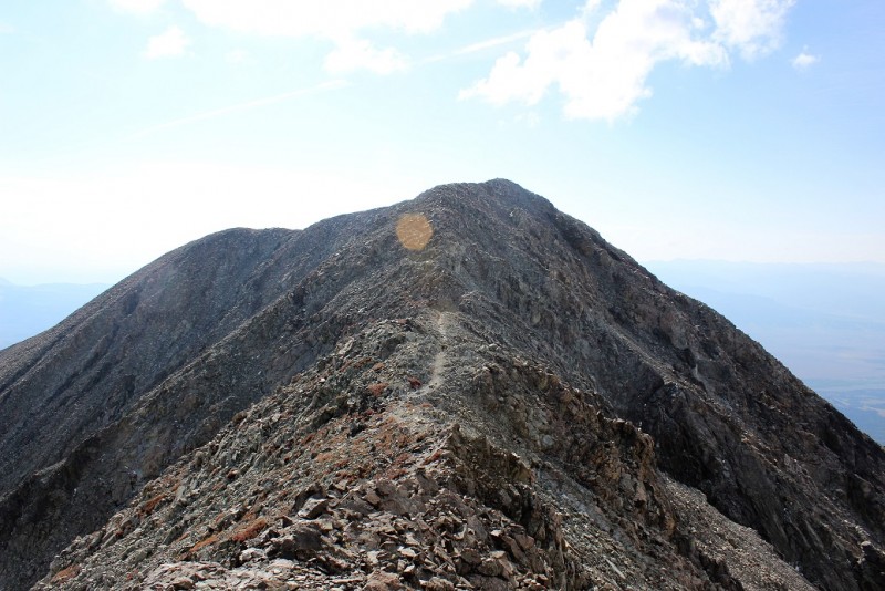
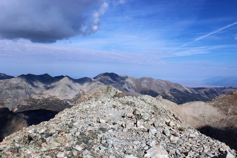
The rest of the hike was easy. I followed the small saddle towards Mt. Lindsey, and then looked back at Northwest Lindsey.
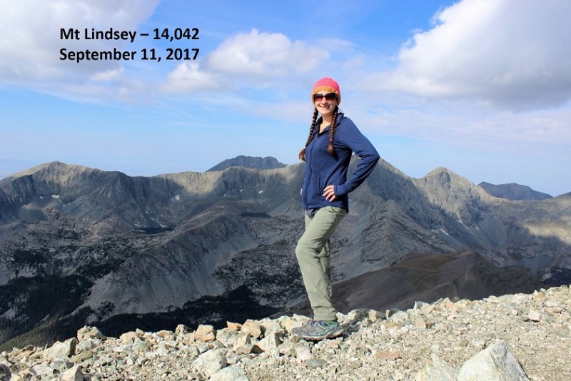
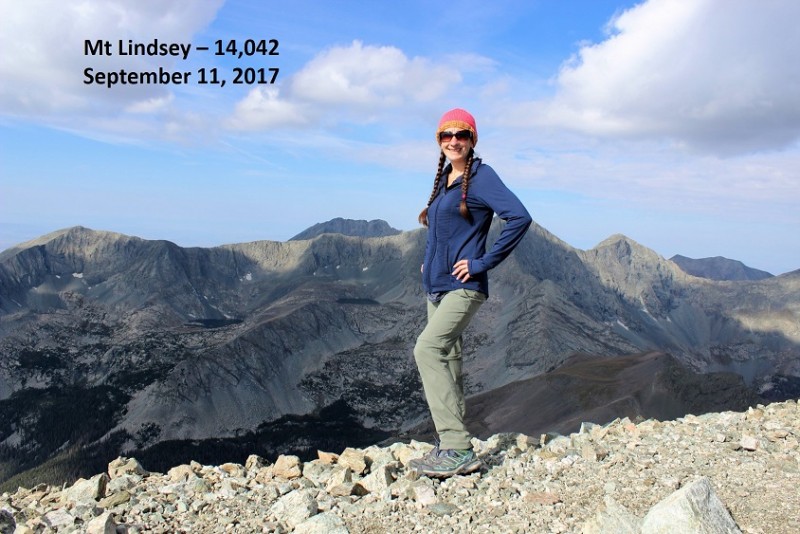
This part of the hike was only about 200 yards, and soon I summited! I was the first to summit today!
Thumbnails for uploaded photos (click to open slideshow):
Congratulations on your summit of Mt. Lindsey, the photo's were amazing. I have summitted Long's Peak and to read that Lindsey is as difficult or more scares me :shock: ... yikes! I was terrified on Long's Peak. Congrats again!
gonna print these pics out for my trip there in a couple of weeks. thanks!
Caution: The information contained in this report may not be accurate and should not be the only resource used in preparation for your climb. Failure to have the necessary experience, physical conditioning, supplies or equipment can result in injury or death. 14ers.com and the author(s) of this report provide no warranties, either express or implied, that the information provided is accurate or reliable. By using the information provided, you agree to indemnify and hold harmless 14ers.com and the report author(s) with respect to any claims and demands against them, including any attorney fees and expenses. Please read the 14ers.com Safety and Disclaimer pages for more information.
Copyright: Route information, text, risk factors, maps, GPX files, charts, photos, 14ers.com-created map imagery, flythroughs, and other content provided in this route description are copyrighted by 14ers.com and may not be copied, reproduced, republished, distributed, modified, or used to create derivative works without prior written permission.
Please respect private property: 14ers.com supports the rights of private landowners to determine how and by whom their land will be used. In Colorado, it is your responsibility to determine if land is private and to obtain the appropriate permission before entering the property.