| Report Type | Full |
| Peak(s) |
"Rain Peak" - 13,143 feet |
| Date Posted | 09/07/2017 |
| Date Climbed | 08/19/2017 |
| Author | Tony1 |
| Not So Rainy |
|---|
Rain PeakSaturday, 19 August 2017 Route: East Ridge from Salmon Lake Distance: ~12.5 miles R/T Gain: ~4300 feet "Rain Peak" is an unofficially named, unranked 13er which stands above Salmon Lake in the southern Gore Range. It shares the Salmon Lake drainage with nearby "Mount Silverthorne" and "East Thorn," the latter of which is also known as "The Thorn." The Thorn dominates the view from Salmon Lake, while Mount Silverthorne and Rain Peak sit more in the background. Rain Peak is a relatively easy day from the Willowbrook Trailhead in Silverthorne. Most beta out there for this peak involves its combination with other nearby peaks via traverses which are probably out of my league; I figured I'd put up a trip report for a simple summer hike of just Rain, giving it some time in the spotlight which is usually enjoyed by its neighbors. To keep the spirit of the Gores alive, I won't hold your hand too much. I'll simply briefly describe my day trip, then follow it with some pictures of the adventure. I drove 10 minutes in the morning to the Willowbrook Trailhead. It's a relatively popular destination, but arriving at least somewhat early in the morning should get you a good parking spot. From there, I took the combination of trails to Salmon Lake. There's plenty of information out there about that hike, but what most sources forget to mention are the two turns at the beginning. The trail description on www.silverthorne.org has complete directions, though the distances seem short. After hiking around Salmon Lake, I made my way up the small headwall, which has a use trail leading the way. Bending around to the right (northwest), I ventured through a small meadow with a talus field and grassy slope up ahead. After crossing the talus field, I headed up the grassy slope, aided by a slippery use trail. The use trail (which may have been just a game trail) split a few times and disappeared in the steep sections of stunted forest. I zigzagged through sections of krummholz before locating an exit to grassy terrain on my left. After picking my way through just a few trees, I continued on mellow grassy slopes to the broad east ridge of the peak, not to be confused with the northeast ridge (consult topo map). Turning left (west), the grass gave way to sections of talus as the ridge steepened. I picked my way up through the talus, carefully avoiding spider webs. The rocks were surprisingly solid. The views opened up more and more the higher I ascended. The views toward Mount Silverthorne were great. It looks very tedious from this side - I think I'll go from the west. As the ridge made a somewhat sharp turn to the left just before the summit, the exposure opened up (relative to the nonexistent exposure there was before, but still). I stayed on the ridge proper. I made my way for just a couple of minutes through arguably class 2+ terrain to reach the summit of Rain Peak, 2:55 hr after leaving the trailhead (I was being a bit speedy that day). The peak has two summits; the east one is the true summit. I touched both, just to be sure. After lounging on the summit for some time, I descended and returned to Salmon Lake the same way I came. My route varied when descending through the krummholz areas, but the lake was always visible below, and I was able to find the steep use trail near the bottom of the slope again. I also took a good slip-and-slide right on the ass going down that thing. The pretty pictures below put imagery to my utilitarian words. 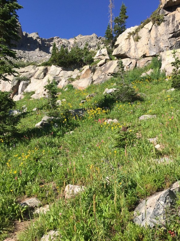 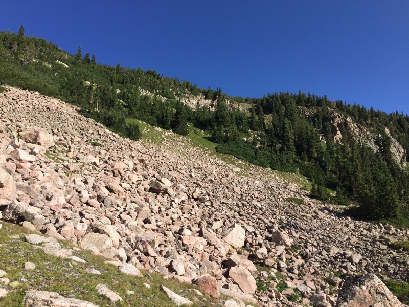 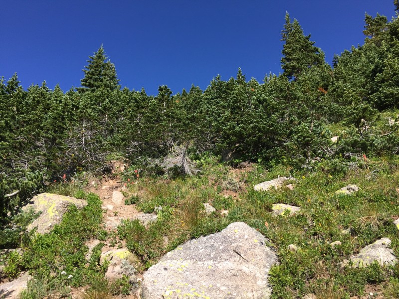 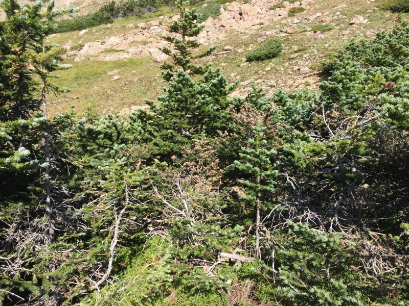 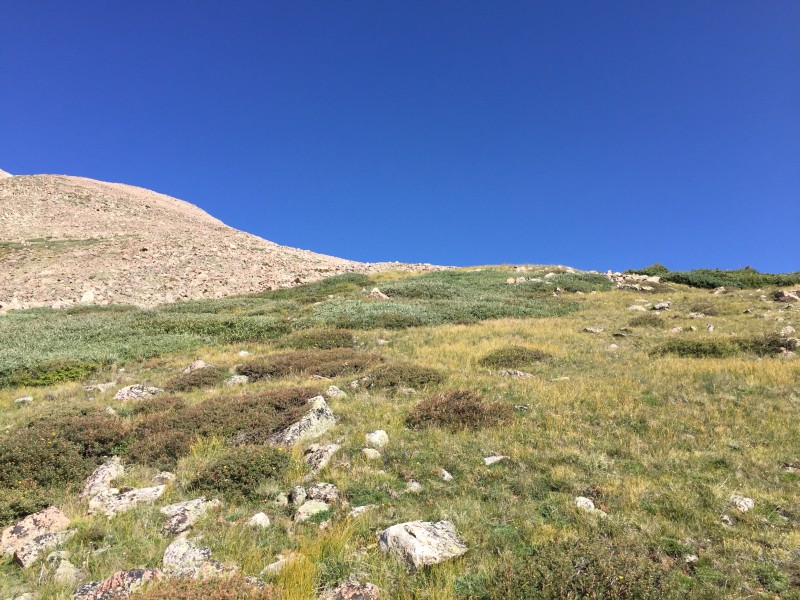 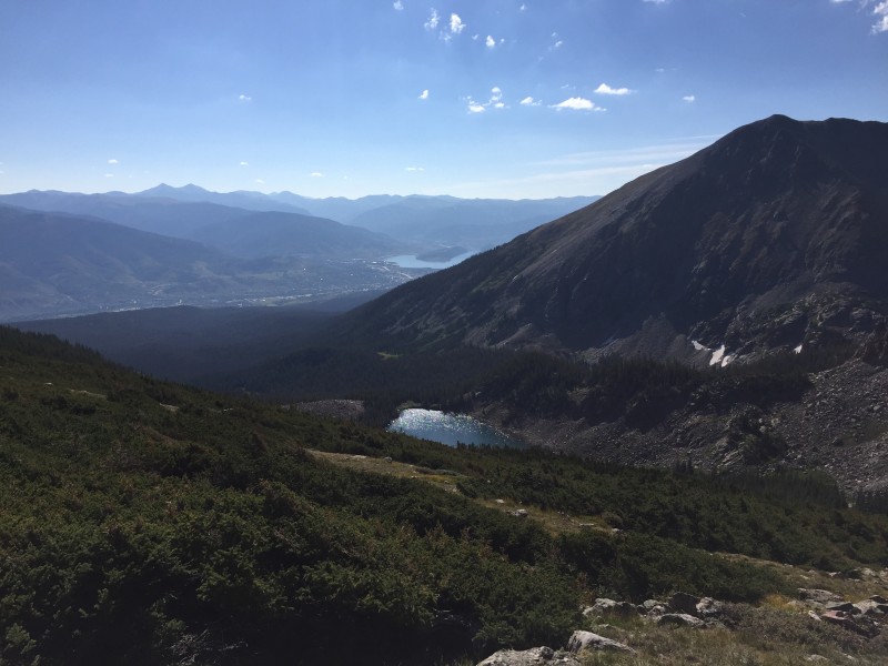  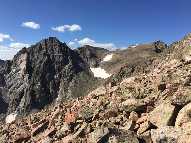 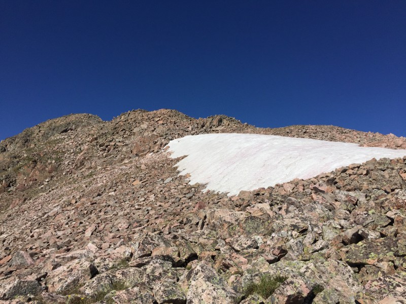 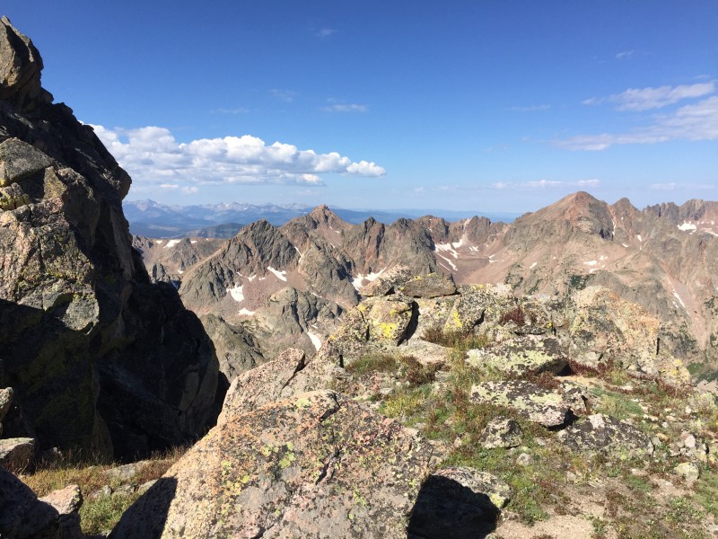 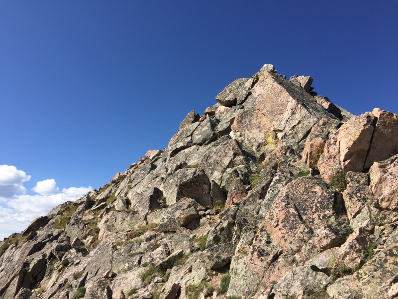 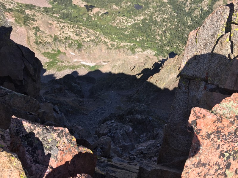  The view over the Gores from the summit. East Thorn and Mount Silverthorne are on the left, then you can follow just about the whole range to the northwest (right). 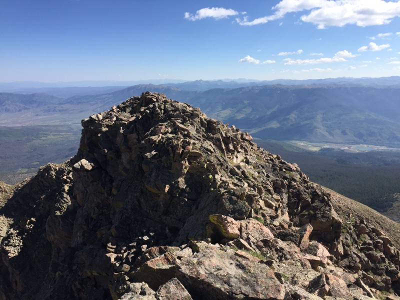 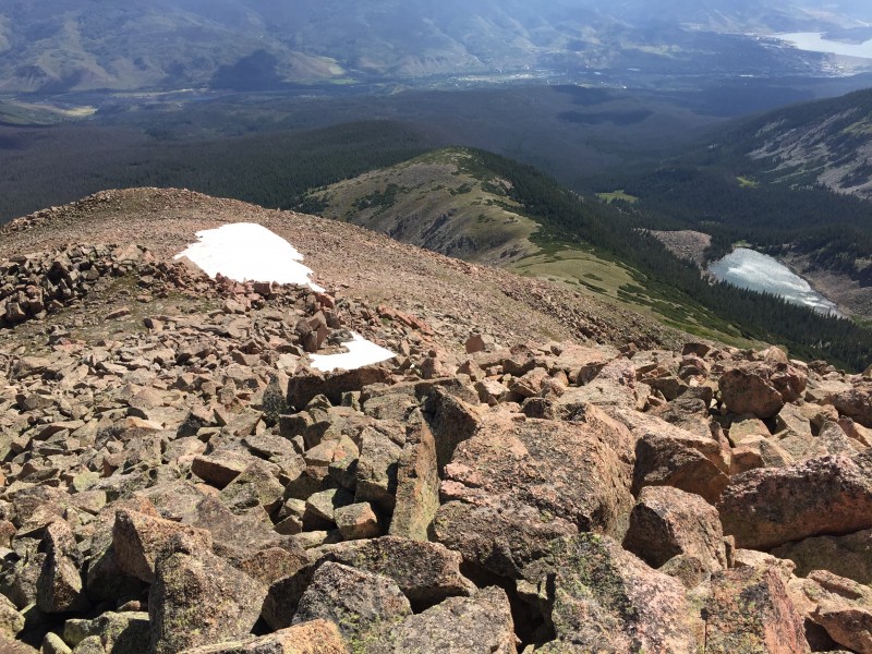 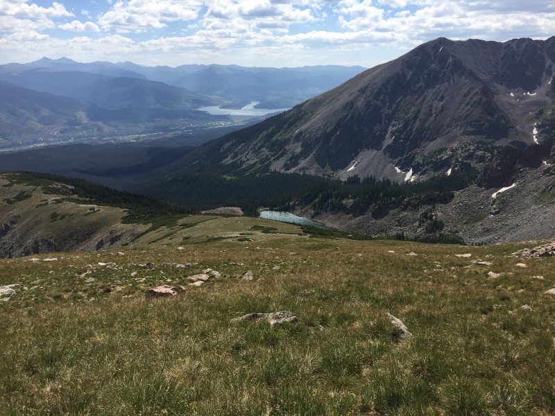 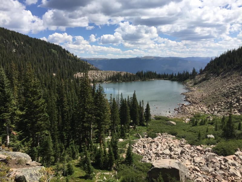  Salmon Lake. Thanks for reading! ~Tony Thumbnails for uploaded photos (click to open slideshow):
|
| Comments or Questions | |||
|---|---|---|---|
|
Caution: The information contained in this report may not be accurate and should not be the only resource used in preparation for your climb. Failure to have the necessary experience, physical conditioning, supplies or equipment can result in injury or death. 14ers.com and the author(s) of this report provide no warranties, either express or implied, that the information provided is accurate or reliable. By using the information provided, you agree to indemnify and hold harmless 14ers.com and the report author(s) with respect to any claims and demands against them, including any attorney fees and expenses. Please read the 14ers.com Safety and Disclaimer pages for more information.
Please respect private property: 14ers.com supports the rights of private landowners to determine how and by whom their land will be used. In Colorado, it is your responsibility to determine if land is private and to obtain the appropriate permission before entering the property.


