| Report Type | Full |
| Peak(s) |
Mount Tomasaki - 12239 Manns Peak - 12272 |
| Date Posted | 08/17/2017 |
| Date Climbed | 07/02/2017 |
| Author | Tony1 |
| Geyser Pass Duo |
|---|
Mannasaki ComboMount Tomasaki (12,239 ft) Manns Peak (12,272 ft) Sunday, 2 July 2017 Route: FR 0240 > Ascend Tomasaki's NW ridge > Traverse to Manns > Descend south ridge > Descend Burro Pass trail and FR 0240 Distance: ~5.3 miles R/T Gain: ~2900 feet For day 2 of a La Sal adventure, I decided to return to Geyser Pass and continue on FR 0071 (which involved making a turn to the north at the top of the pass). From there, I drove a couple minutes to the intersection with FR 0240 and parked. FR 0240 leads about a half mile up the drainage below the south slopes of Tomasaki and Manns before ending at the Burro Pass trailhead. The road looked a little too steep and slippery in spots for the car, so I started my hike from its base.  After cursing the nearby aspen groves for giving me what felt like a complete allergy attack, I hiked up the road and past the cattle guard at the trailhead. 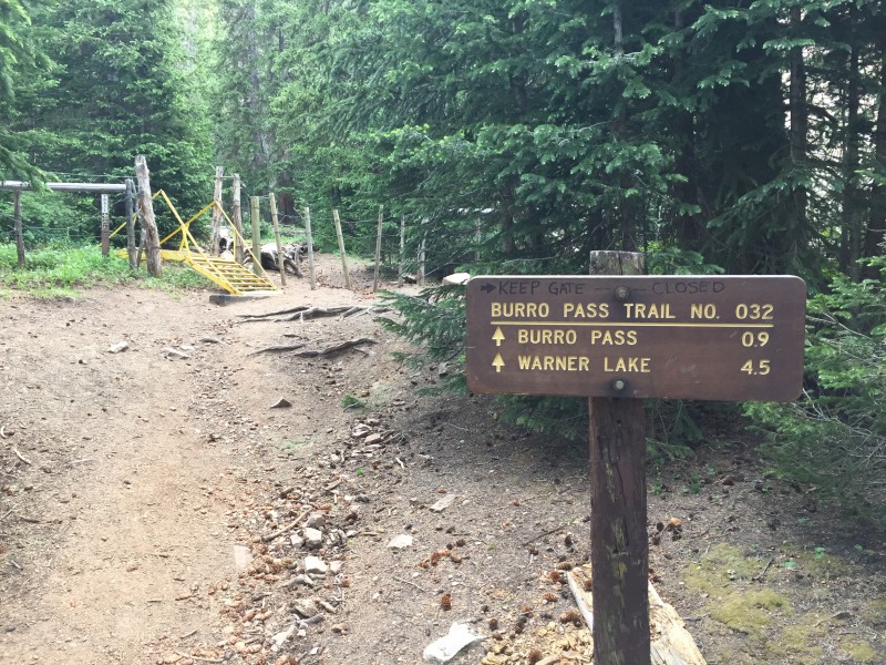 I stayed on the trail for just a few minutes before reaching a meadow with a clear view of Tomasaki's northwest ridge. I turned into the meadow and started ascending through the grass and wildflowers just climber's left of the tiny creek which flows through it. I kept on a slightly leftward trajectory toward a small strand of aspen trees. Getting through the several trees meant dealing with a bit of scree, but the grass returned just afterward. After a few minutes of ascending up some steep grass, I made my way through scattered pine trees and broke treeline shortly after. The ridge was just up ahead, and I joined it about 100 feet higher than its saddle with the bump which separates Tomasaki and Manns.  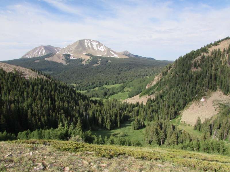 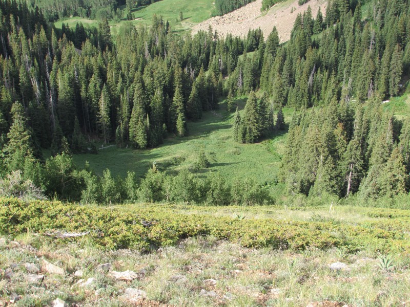  Upon reaching the ridge, I turned southeast along it and made my way upward as the grass gradually changed to rocks. I hiked through the talus and scree on a use trail which lead me to the summit. The views from up top did not disappoint.     Wide view to the west from the summit of Tomasaki. After a small break, I retraced my steps down the northwest ridge, crossed the saddle, and began traversing along the southern grassy slopes of the bump between the two peaks. I meandered up and down a little bit to avoid dropping back into the trees, and then ascended slighty to reach the saddle separating the bump from Manns.  By this point, darker clouds had developed overhead, and it looked like they were going to move through. Their vertical development didn't look very high, and I hadn't heard thunder, so I decided to drop a bit to treeline and wait for them to pass. Some of them, including the one moving over me, was producing virga. After waiting a little while, I got the brief window (although it remained overcast) I was hoping for and started up the south slope of Manns.  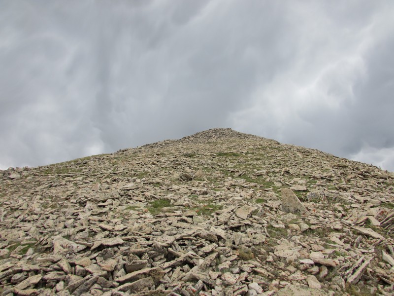 Still keeping an eye on the weather, I set a brisk pace to the top. The quick 600-foot ascent alternated between grass and small rocks. Upon reaching the summit, I stood and took in the views for just a few minutes.   Wide view to the southeast from the summit of Manns.  I started back down the south face and located the Manns Peak trail, which was recently constructed to access the peak from Burro Pass. The new trail involved a staircase through a scree field and gentle switchbacks to the pass below treeline.  Still above the trees, I kept that brisk pace down the rocky upper portions of the trail and through the meadows. By the time I hit treeline, the clouds started to clear. I made my way down the forested switchbacks to Burro Pass and turned left (east). The descent down the Burro Pass trail past the meadow and to the trailhead went quickly. Then, the descent down the road went even more quickly, even at a pace which felt as if I was just simply walking downhill. 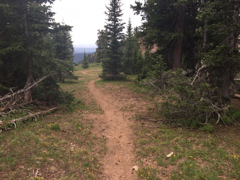 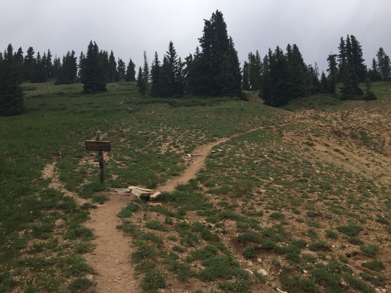  This trip was pretty quick and made for a nice morning. However, due to weather worries, I tried to keep a faster pace like the day before. Below are my "milestone" times which you may find useful for your own trip. Lower Trailhead: 08:25 Upper Trailhead: 08:40 Summit Tomasaki: 09:35 Leave Tomasaki: 09:55 2nd Saddle (wait for clouds): 10:25 Continue: 10:45 Summit Manns: 11:05 Leave Manns: 11:15 Burro Pass: 11:40 Lower Trailhead: 12:15 Thanks for reading this short report! ~Tony Thumbnails for uploaded photos (click to open slideshow):  Starting out with Manns Peak ahead.")
 The upper trailhead.")
 The meadow where I left the trail, with Tomasaki in view.")
 Looking back from where I came with Mounts Peale and Mellenthin in view on the other side of Geyser Pass.")
 Steep ascent.")
 Through the forest, looking down.")
 Use trail through the scree and talus.")
 Interesting terrain features to the northeast.")
 Looking toward Manns from the summit of Tomasaki.")
 On the traverse to Manns.")
 Headed up Manns after my weather break.")
 Almost to the summit through some rockier terrain.")
 Looking back toward Tomasaki (right) from the summit of Manns.")
 My descent route from Manns.")
 Recently constructed staircase on the descent.")
 Gentle trail just below treeline.")
 Looking up the trail from near the junction. The one on the right is the official trail.")
 Trail junction. The descent back to the trailhead is behind me.")
|
| Comments or Questions | |||
|---|---|---|---|
|
Caution: The information contained in this report may not be accurate and should not be the only resource used in preparation for your climb. Failure to have the necessary experience, physical conditioning, supplies or equipment can result in injury or death. 14ers.com and the author(s) of this report provide no warranties, either express or implied, that the information provided is accurate or reliable. By using the information provided, you agree to indemnify and hold harmless 14ers.com and the report author(s) with respect to any claims and demands against them, including any attorney fees and expenses. Please read the 14ers.com Safety and Disclaimer pages for more information.
Please respect private property: 14ers.com supports the rights of private landowners to determine how and by whom their land will be used. In Colorado, it is your responsibility to determine if land is private and to obtain the appropriate permission before entering the property.


