Download Agreement, Release, and Acknowledgement of Risk:
You (the person requesting this file download) fully understand mountain climbing ("Activity") involves risks and dangers of serious bodily injury, including permanent disability, paralysis, and death ("Risks") and you fully accept and assume all such risks and all responsibility for losses, costs, and damages you incur as a result of your participation in this Activity.
You acknowledge that information in the file you have chosen to download may not be accurate and may contain errors. You agree to assume all risks when using this information and agree to release and discharge 14ers.com, 14ers Inc. and the author(s) of such information (collectively, the "Released Parties").
You hereby discharge the Released Parties from all damages, actions, claims and liabilities of any nature, specifically including, but not limited to, damages, actions, claims and liabilities arising from or related to the negligence of the Released Parties. You further agree to indemnify, hold harmless and defend 14ers.com, 14ers Inc. and each of the other Released Parties from and against any loss, damage, liability and expense, including costs and attorney fees, incurred by 14ers.com, 14ers Inc. or any of the other Released Parties as a result of you using information provided on the 14ers.com or 14ers Inc. websites.
You have read this agreement, fully understand its terms and intend it to be a complete and unconditional release of all liability to the greatest extent allowed by law and agree that if any portion of this agreement is held to be invalid the balance, notwithstanding, shall continue in full force and effect.
By clicking "OK" you agree to these terms. If you DO NOT agree, click "Cancel"...
Shamelessly, openly, unabashedly (same as shamelessly) and notoriously I have pilfered, absconded with and otherwise L is for Looted d_bakers (Darin) theme for this peak. I can be forgiven for this breach in etiquette because after reading his report and then receiving a picture of Peak L prior to making this trek happen from Darin, it seemed that for endless steps and miles this theme was running through my head to the point of testing my sanity and ability to run some silly tune inside my cranium from playing in the Cheyenne Frontier Parade the same day.
L is for Lists
L is for Long
I started Saturday before 5:00 am prepping for and then driving to Cheyenne for the Cheyenne Frontier Days Parade. After marching and playing for about a mile in the warm sunshine I headed off about 11:00 am for the 2 1/2 hour drive to the Brush Creek Trailhead, north of Silverthorne and on the road to Heeney. Of course the drive up I-70 was not so pleasant and with many a standstill moment along the way it was much later starting out than anticipated.
I was L is for Lucky enough to have found a hiking partner for the trip who was very flexible enough to make my schedule, matb. (Thanks Natalie for offering other days) We met up at the parking area across from Brush Creek road and we drove the approximately 1 1/2 miles to the trailhead. After all that it was about 3:30 0r 4:00 pm when we got there. A bit of a late start to begin the 10-11 mile hike to Upper Slate L is for Lake.
Mat at the start
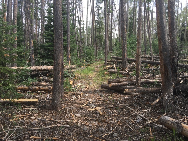
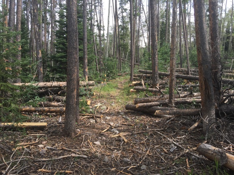
A word about the trail. Brush Creek, left at the Gore Range Trail, across Hay Camp Creek to the right turn on the Slate Creek trail. The start of the trail is good and the dead and downed trees have been cut out where they have fallen across the trail, at least for the most part. However, right at the moment a stretch of latterly falling trees have not been cut out. You can follow the trail because of the cut trees because the trail through many areas fades away or it a one foot wide, barely trodden upon path.
The stretch along the Gore Trail from before Hay Camp Creek to just before the Slate Creek turnoff has a number of uncut trees. L is for Logs
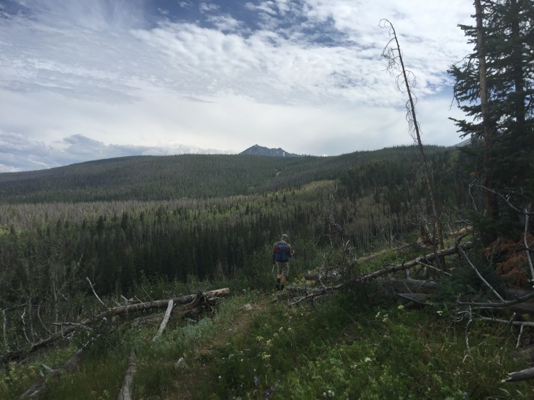
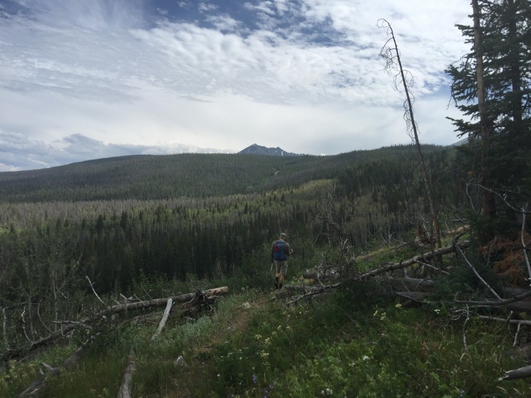
a lot of tree cutting at first
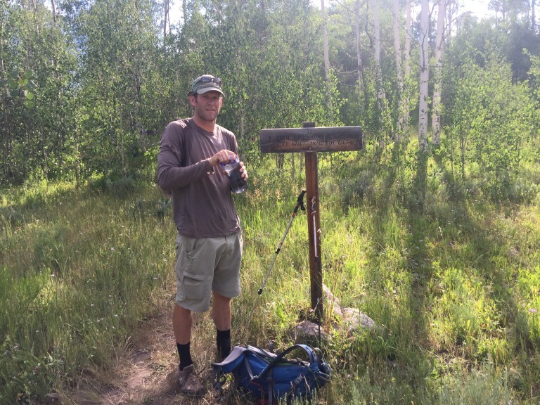
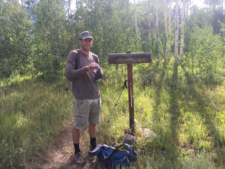
the turnoff from the Gore Creek Trail to the Slate Creek Trail
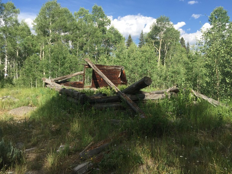
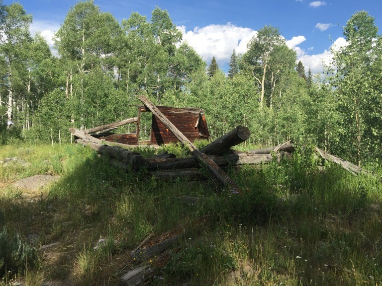
old log cabin there
Mat is a young guy and at 6' 5" tall was able to set a rapid pace with his L is for Lengthy stride
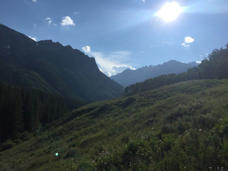
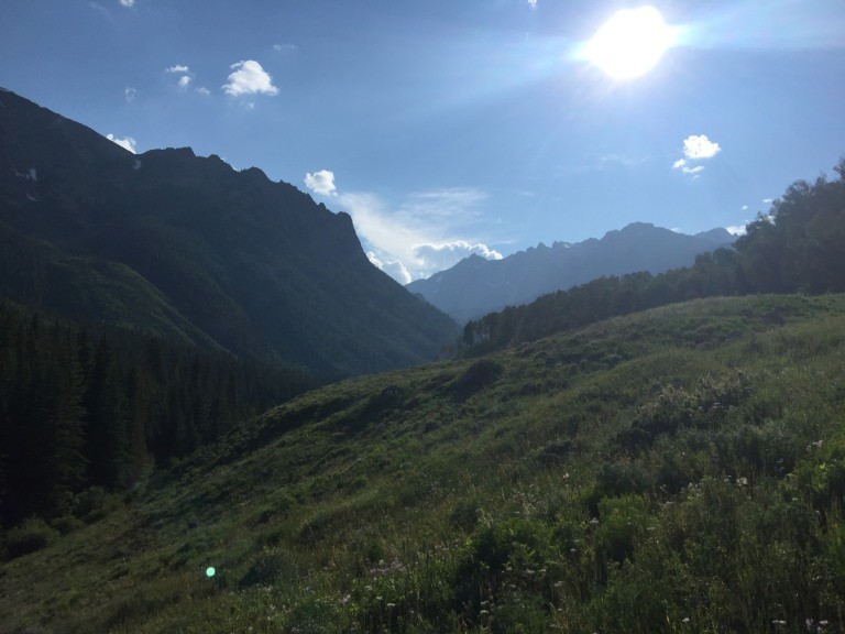
hiking the Slate Creek Trail with Peak L
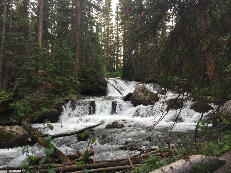
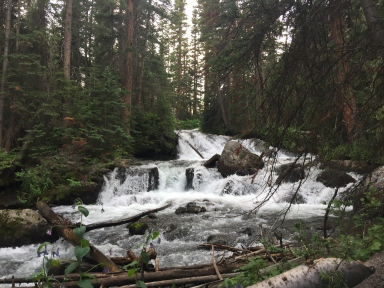
Slate Creek is a nice creek that varies from gently flowing wide stretches to violent drops like this. creek running full
Mat was good enough to carry the tent and in the last mile, went on ahead to find a camp spot and set up the tent. I believe I arrived somewhere around 8:30 pm just as the L is for Light was fading.
After hitting bed at around 9:30 we awoke at 5:00 am with a start towards the peak shortly thereafter. We decided that having some light would be best since the trail around the lake has been described as faint, which it was. It was also wet.
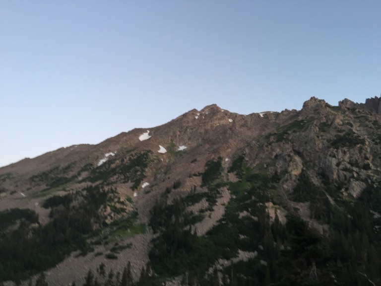
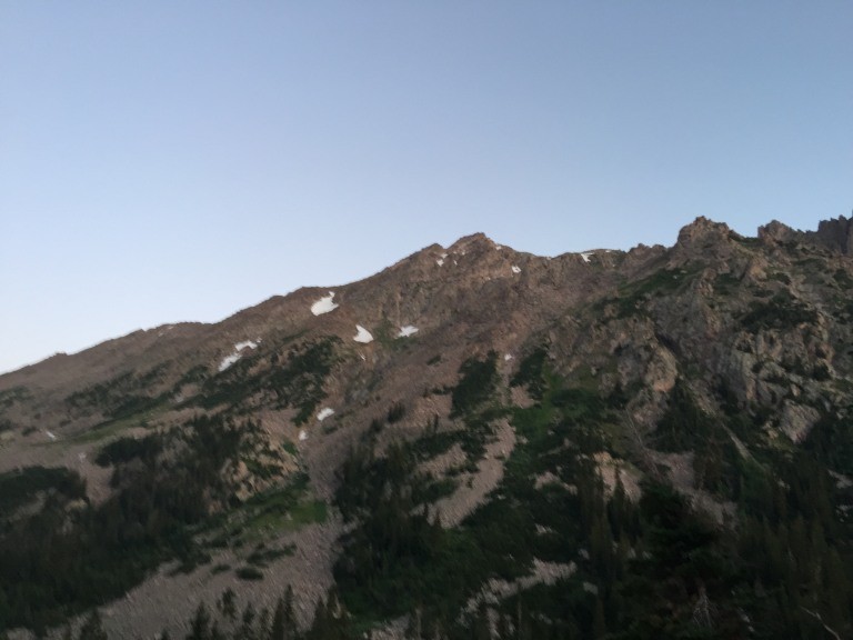
morning Peak L kinda fuzzy
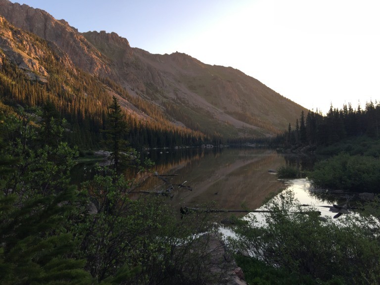
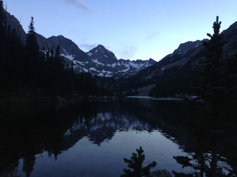
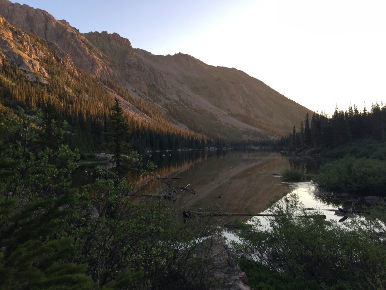
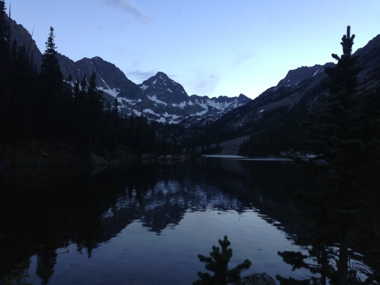
the lake
Upper Slate Lake in the morning (photo by Mat)
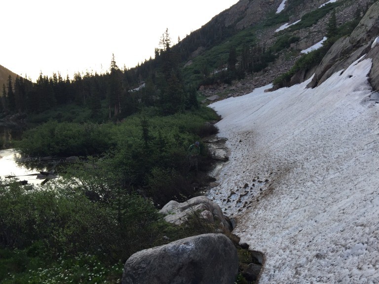
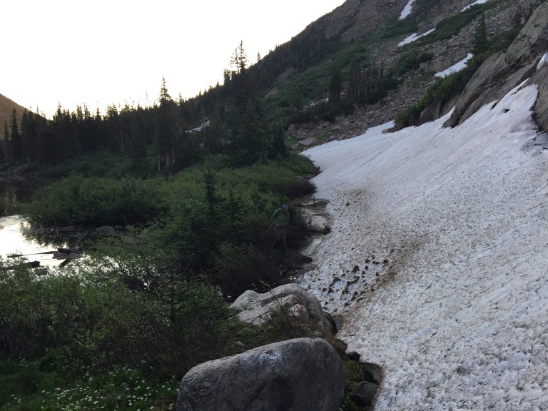
skirting around the lake in the morning with snow and the swamp by the lakes edge
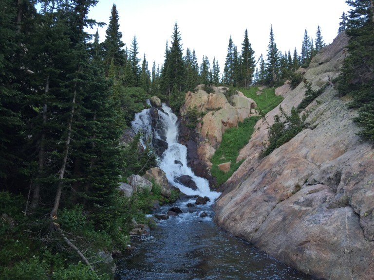
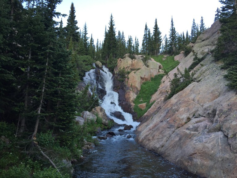
The trail went from camp, through a few other camp sites, willows, snow, grass and some rock to where there was a safe portage across the creek above Upper Slate Lake and below this waterfall.
we found a good place to cross the creek just below this waterfall
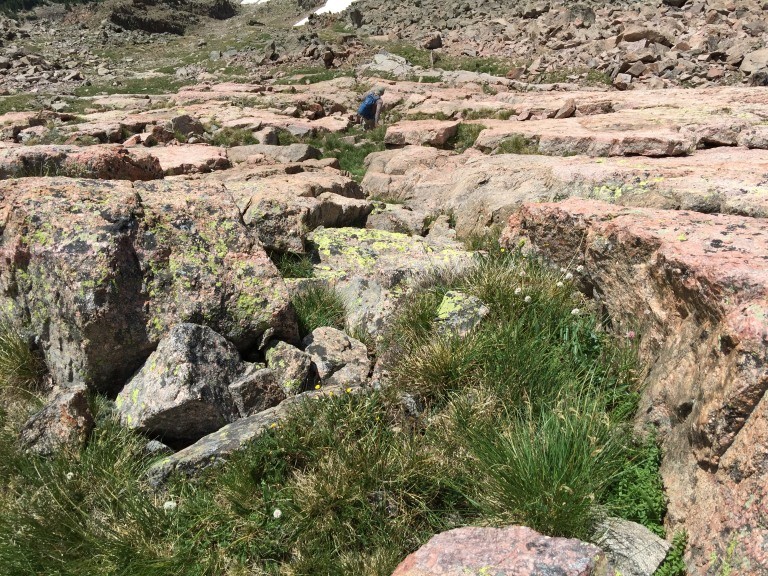
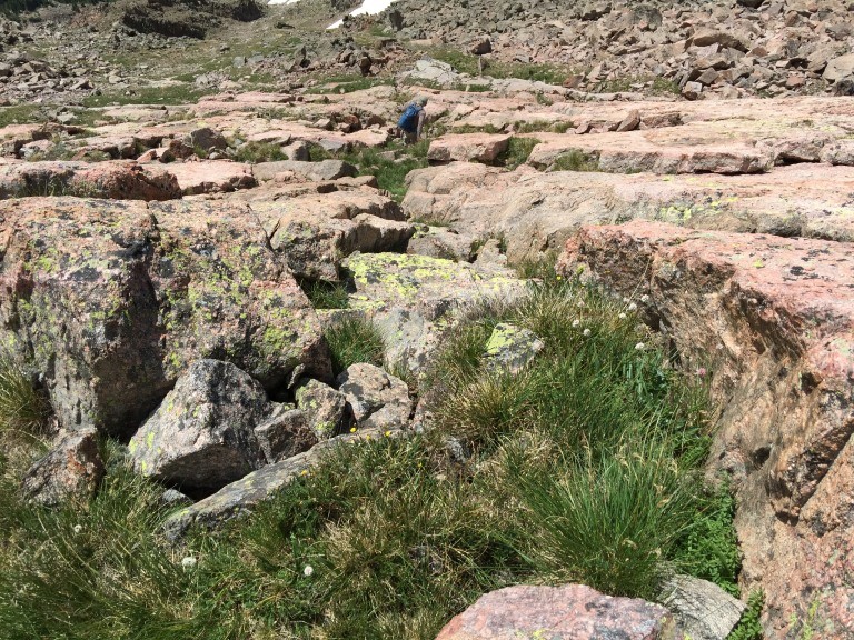
Once past the creek over a small rock band then it was a traverse northwesterly below some slab rock, through the tall vegetation to the ascent route below the saddle.
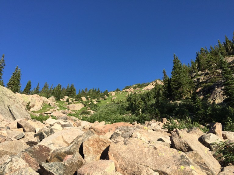
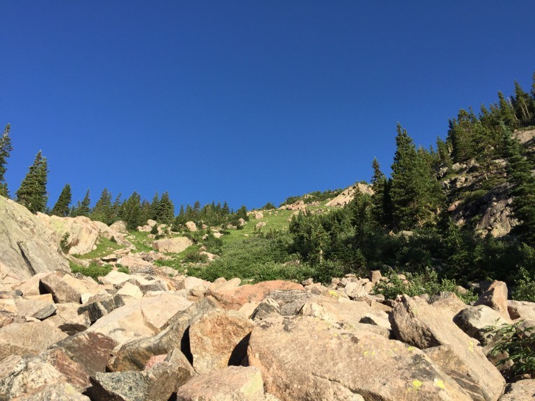
The next four pictures show the rock, grass, rock and some snow up to the saddle
a look at the bottom of the ascent route
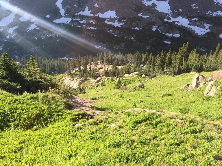
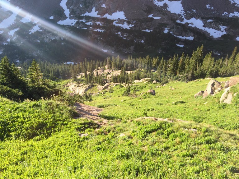
a look down the grassy slopes
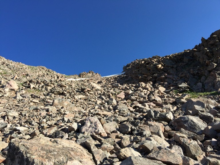
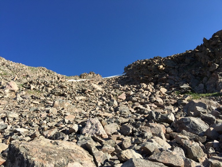
more rock above the grass
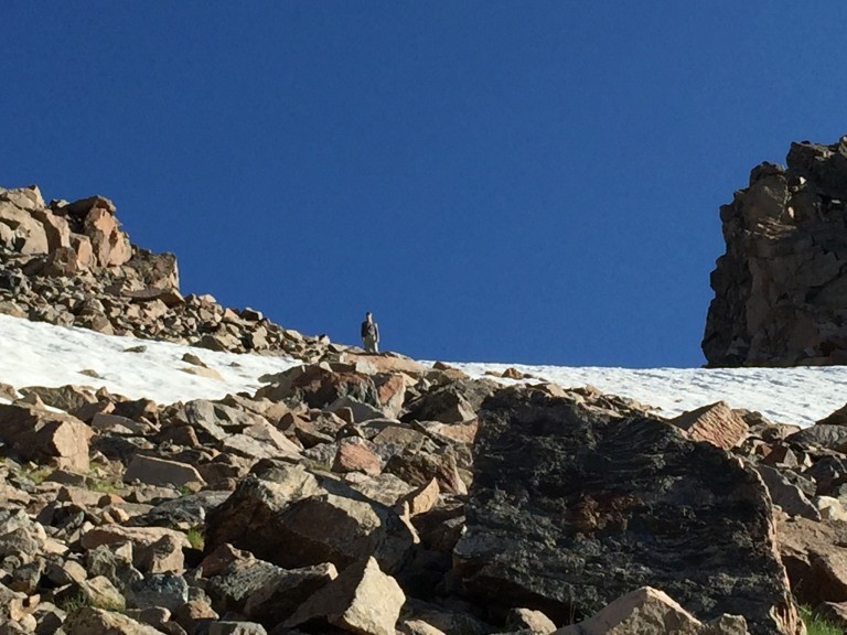
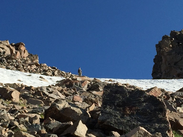
the only snow remaining above the lake along this route
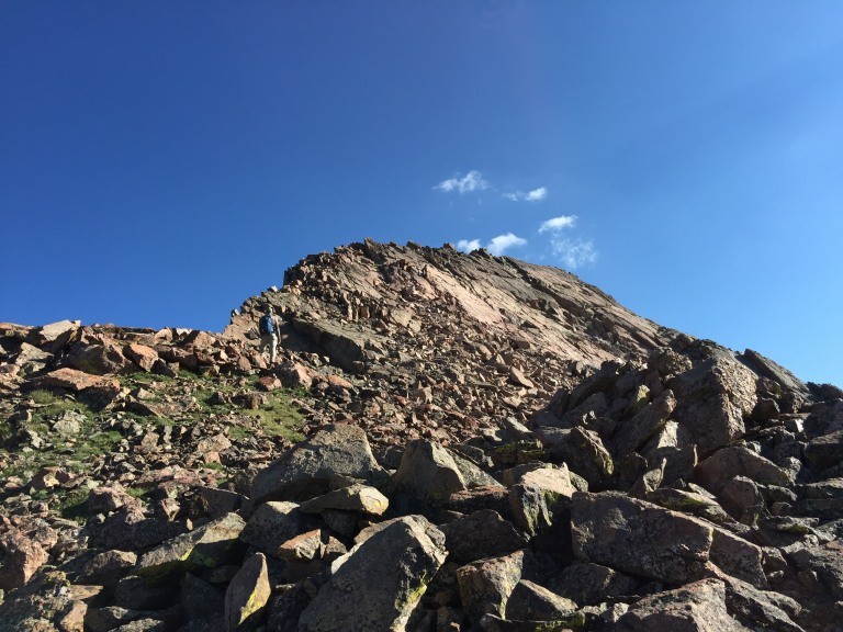
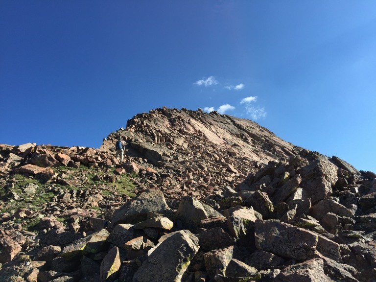
The saddle is a good spot to say L is for Look Look at the way ahead.
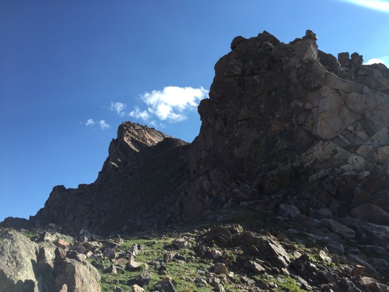
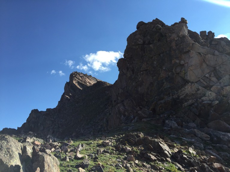
on the saddle you will see these rock formations
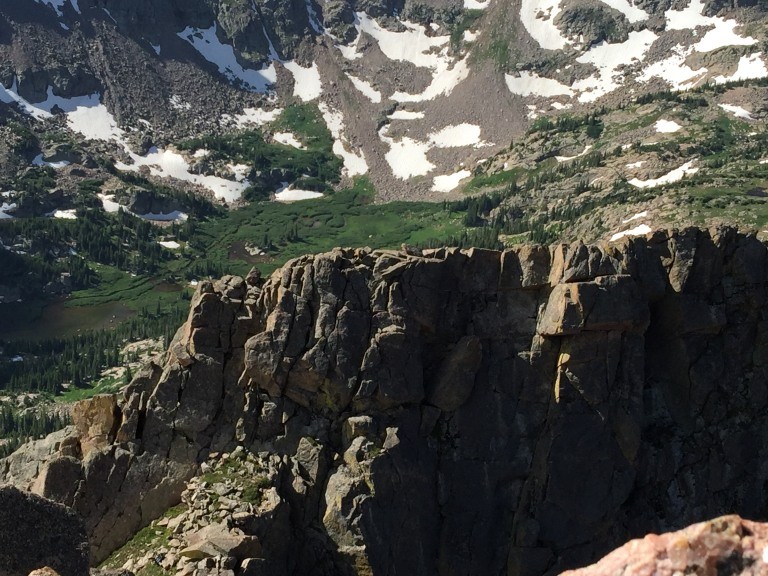
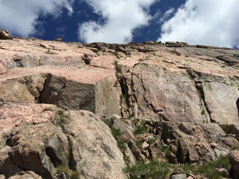
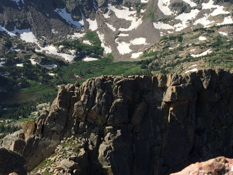
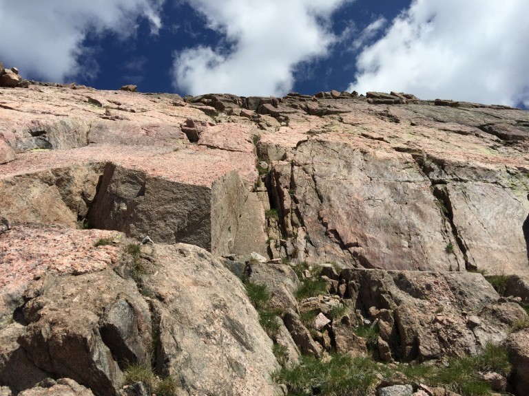
the first look at the slab rock towards the knife edge
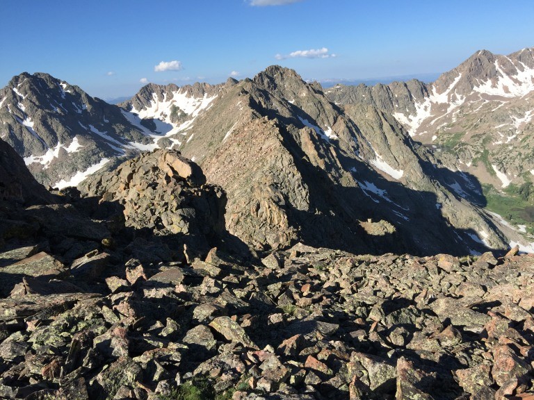
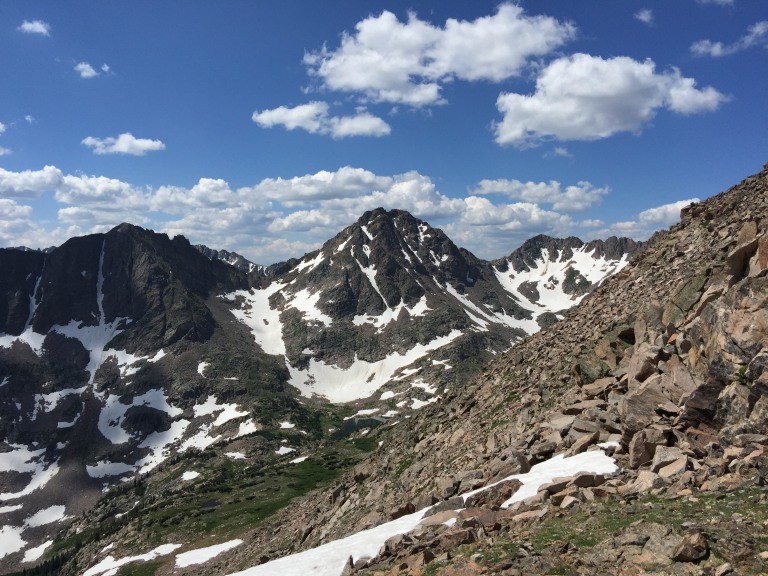
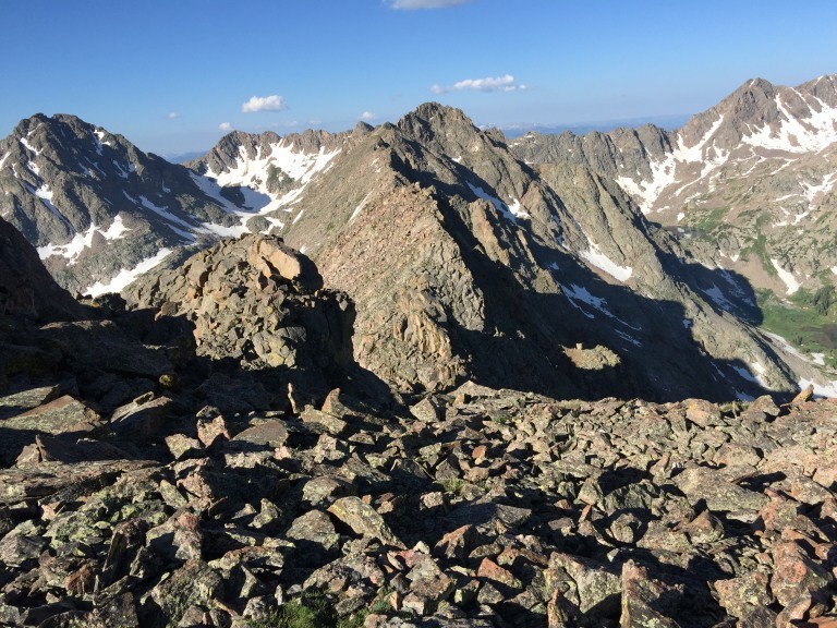
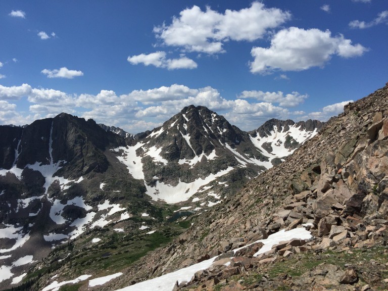
a look back towards the saddle and the Gores behind
All good things.
L is for Lord Helmut who is a Gore enthusiast who has the ability to take an irreverent look at most everything but who most capably described the remaining route. Solid rock, good climbing and views of the Gore Range. His view of this peak as being one of the finest peaks around is an interesting perspective on the peaks aesthetics considering the many great peaks in Colorado. Personally I don't have the yearning to run all the ridges that Brian and some others have done but just to get in there and out, nabbing a great peak without mishap is satisfactory. Read his reports...
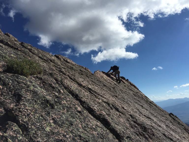
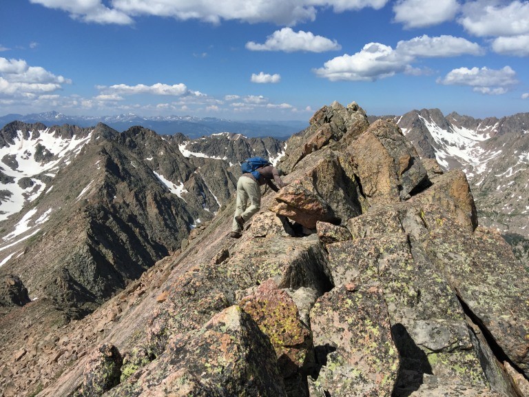
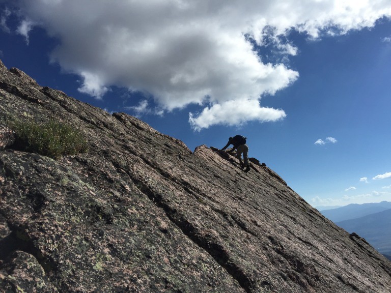
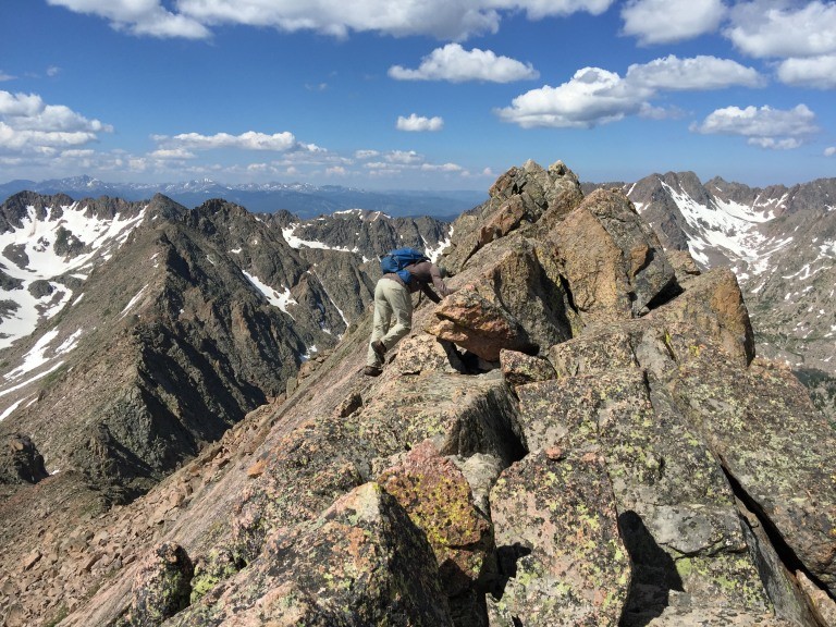
Mat starting up towards the knife edge
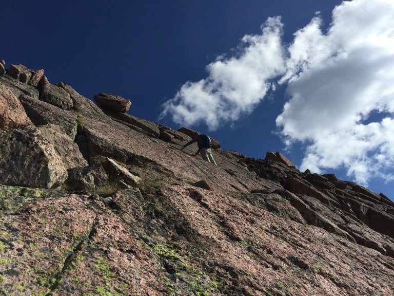
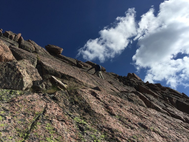
Solid rock and the way up to the knife edge.
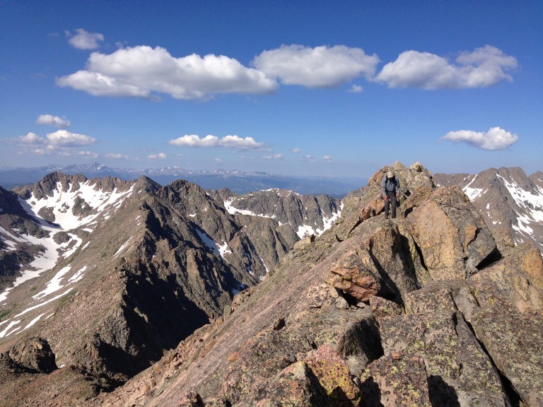
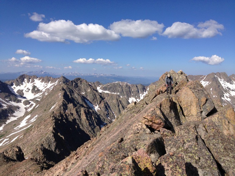
Mat waiting for me up on the slabs
a look back
Mat close to the knife edge
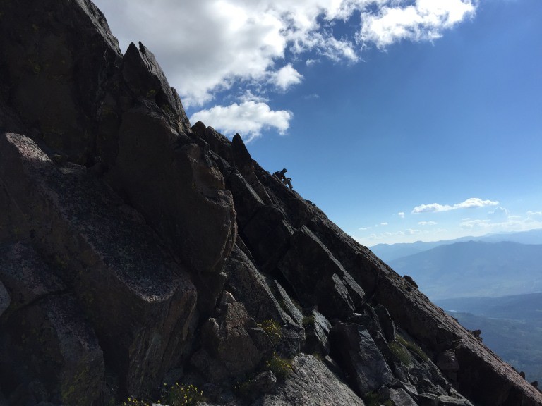
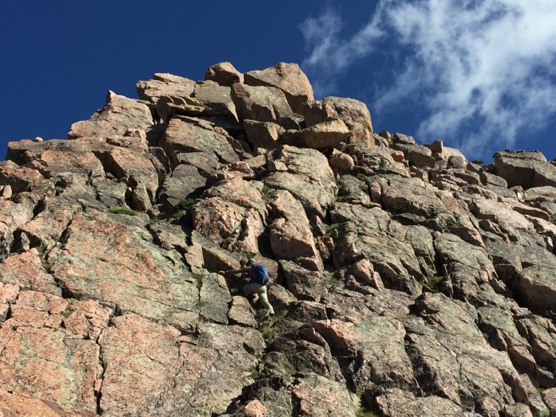
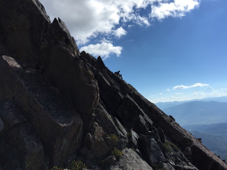
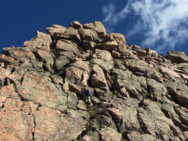
Good solid rock and small ledge system to get you up to the summit. A few pictures down there are more views of the knife edge, coming and going.
Mat starting up the last section to the summit
L is for Lounging
L is for my Last Gore Range 13er.
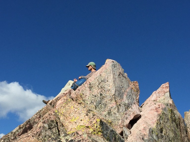
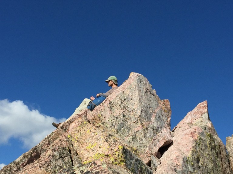
Mat taking in the views from a perch on the summit
L is for Lyle Lovett and his Large Band
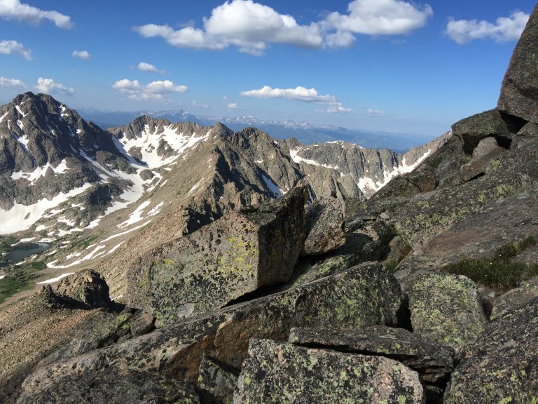
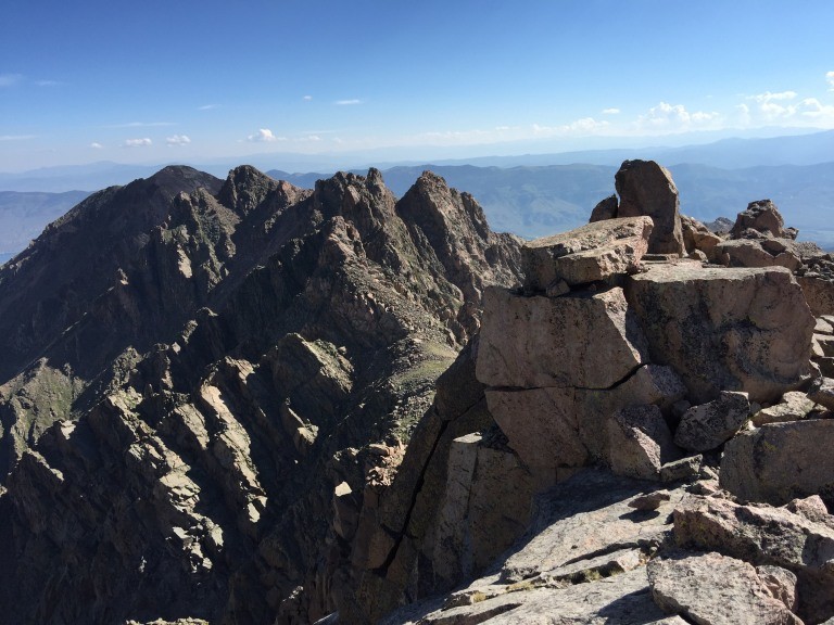
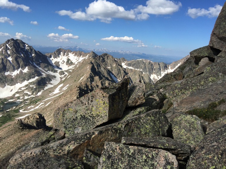
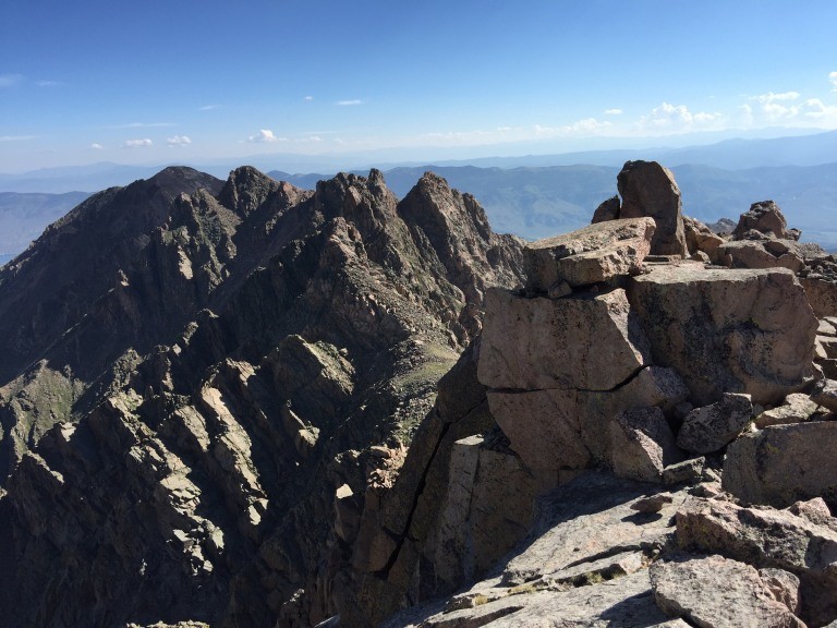
a look at the knife edge from the summit
a look towards Guyselman Mountain (unranked)
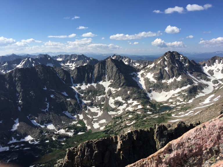
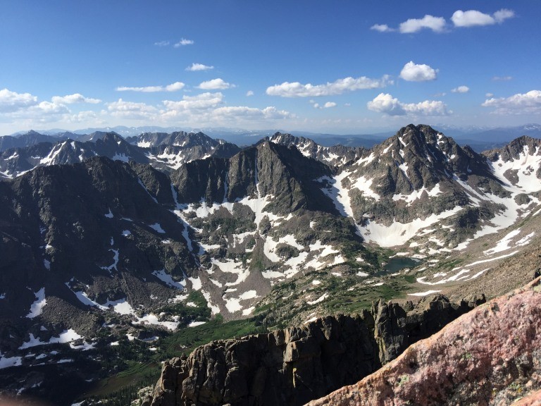
Peak Q, R and S
L is for Landscape or L is for Los Lonely Boys
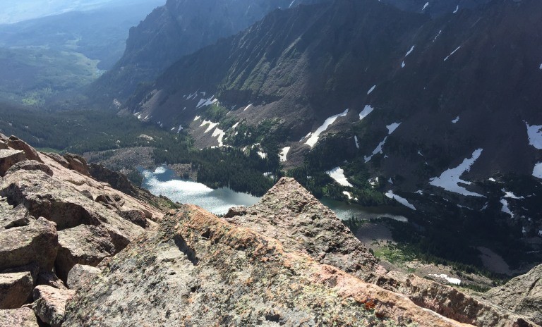
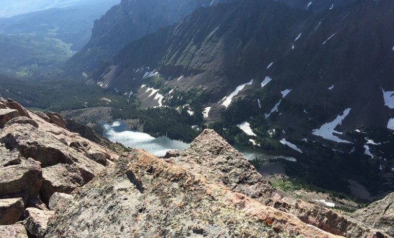
a look down on Upper Slate Lake
Mat heading back across the knife edge
me heading toward the knife edge and Peak L (not in order photo by Mat)
I read a report saying that there were not any footholds, I could have read that report incorrectly but Mat and I both felt there were sufficient places to put your toes on. Cracks or slight protrusions on solid grippy rock. I was wearing my regular old leather hiking boots.
Once across the knife edge there is a 30 foot or so downclimb to below the final stretch. We felt that the crux of the climb was the knife edge with the crossing and the exposure. It seemed to be more so on the summit side of the edge than on the side we crossed.
Heading back.
me heading back down across the knife edge
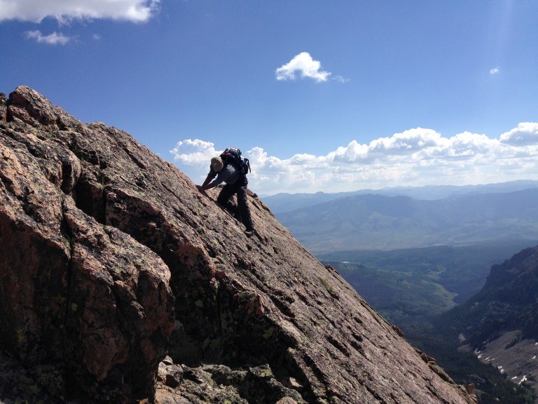
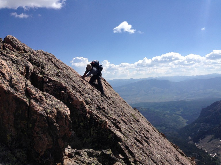
Pictures of the good grassy ascent and descent of the slab prior to and after the knife edge.
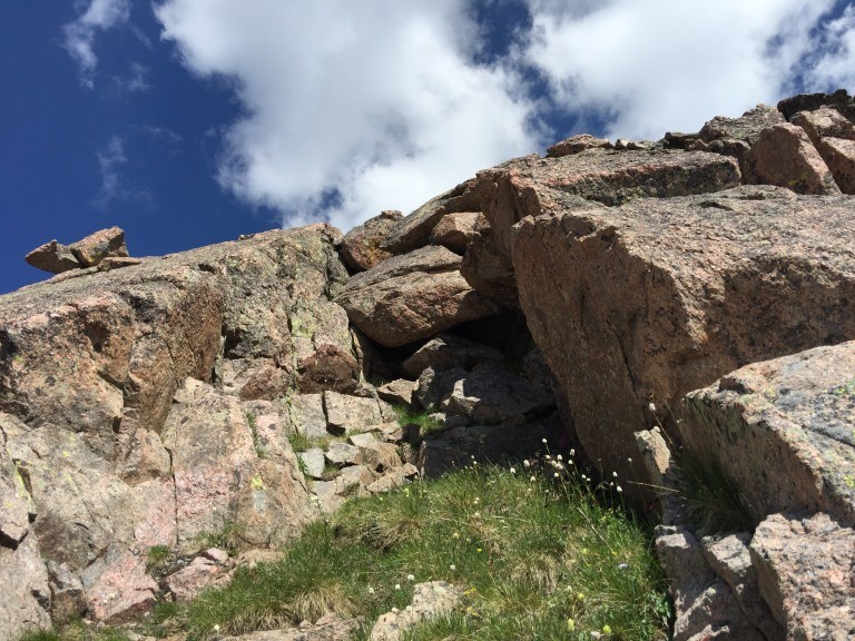
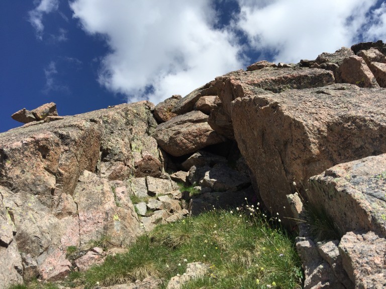
the grassy cut in the slab where I went up and we both descended
a look down
the cut from the bottom, grass to go up but you have to look hard to find it
another Q shot
I had packed up and so with Mat being faster, I headed down the trail L is for a lively pace but after 9 miles or so L was for Languishing, he caught me anyway.
L is for Led Zeppelin because I sometimes have this tune running through my mind while hiking L is for Long Lasting
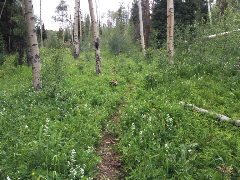
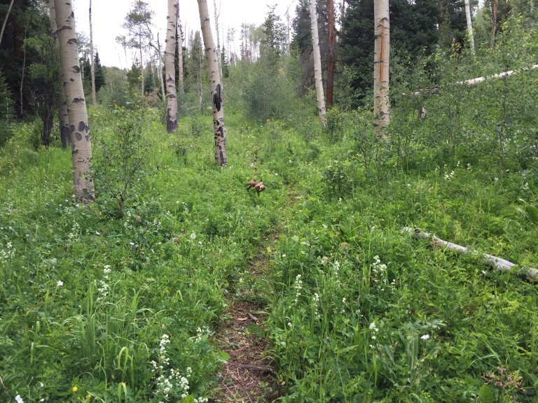
kind of typical picture of the trail, defined generally but not too much so
Postscript
L is for Lost as in it looks like a mountain goat made off with a shirt I left hanging in a tree back at camp. White hair in the branches...
a few stats, 10-11 miles in to Upper Slate Lake, 4 miles from the lake to the summit and back 10-11 miles out. There is elevation loss going in and elevation gain going out. seems to be about 6000 feet more or less all told
L is for Left out L is for Loverboy's song L is for Lovin Every Minute of It as it was kind of Ooh L is for La La
GPS Track(s) on Google Maps (made from a .GPX file upload):
Sincere Congratulations on a great Peak L ascent. Thanks so much for sharing this informative, quality trip report Al. Good beta.
Very nicely done with navigating the classic Gore Range Route. Slate Creek's beautiful. Appreciate your inspiring effort too. Keep climbing safe, smart, and strong.
I haven't checked yet, but most of my reports are probably all but useless now (if you like photos) since my pictures are linked to photobucket, who now require a subscription in order to link photos....and I think my L is for Living report might have linked photos... sigh....
But no worries, because your report has plenty of great photos to go along with the traditional Al text!
Nice job Al & Mat, and thanks for sharing!
It's a great peak though, isn't it?! I hope to get back to L again someday. :)
Glad to hear you got the peak, finished the range and the weather cooperated! I Look forward to following in your footsteps at some point. Lovely Gores!
I live in my own mind
No rain just the sunshine
Out here in my own mind
I live where I can breathe
Ain't nothin but a cool breeze
Nobody that it won't please
Out here where I can breathe
thanks Natalie, good to get that peak hope you get there soon
so now that the goat has my T-shirt does that make it a goatee?
Caution: The information contained in this report may not be accurate and should not be the only resource used in preparation for your climb. Failure to have the necessary experience, physical conditioning, supplies or equipment can result in injury or death. 14ers.com and the author(s) of this report provide no warranties, either express or implied, that the information provided is accurate or reliable. By using the information provided, you agree to indemnify and hold harmless 14ers.com and the report author(s) with respect to any claims and demands against them, including any attorney fees and expenses. Please read the 14ers.com Safety and Disclaimer pages for more information.
Copyright: Route information, text, risk factors, maps, GPX files, charts, photos, 14ers.com-created map imagery, flythroughs, and other content provided in this route description are copyrighted by 14ers.com and may not be copied, reproduced, republished, distributed, modified, or used to create derivative works without prior written permission.
Please respect private property: 14ers.com supports the rights of private landowners to determine how and by whom their land will be used. In Colorado, it is your responsibility to determine if land is private and to obtain the appropriate permission before entering the property.