| Report Type | Full |
| Peak(s) |
Sunshine Peak - 14,004 feet Redcloud Peak - 14,037 feet |
| Date Posted | 07/19/2017 |
| Modified | 02/26/2018 |
| Date Climbed | 07/18/2017 |
| Author | huffy13 |
| Sunshine/Redcloud combo from Mill Creek....not the best way! |
|---|
|
Well, after not getting to summit any points of significance since July of 2015, I was really wanting to get to the mountains for a bit and try to get my peak count to 20...Uncompahgre was #18 for me and Sunshine and Redcloud seemed like a good place to get the two I needed. I really didn't want to have to drive the shelf road again and I looked into the Mill Creek route for Sunshine. I like loop routes so I planned on ascending from Mill Creek, bagging Sunshine first and then traverse over to Redcloud, descend the standard route and then just hike the shelf road back...sounds simple enough, right? Well, I knew the mileage would be somewhere in the range of 14 miles total, but nearly 8.5 of it was the descent and the road, so I figured it would be doable as long as I started early. I got a camp site at Mill Creek Campground on Monday evening....I highly recommend it, very clean vault facilities, other campers were fun to visit with, had a moose run through the middle of the campground, and it was dead quiet after 9:30 pm. I decided that I would just car camp. 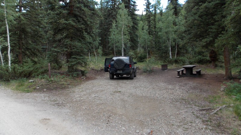 I woke up at 4:10 AM after a restless night. I rarely sleep well at altitude until about the third night. Breakfast was some yogurt, water and a banana, I made sure I had all the typical things I take on my hike and crossed the bridge to the green utility box at 5 AM sharp. I figured this would give me plenty of time to get the combo in and still make my way down before the weather would be a factor. Well, the trail does start right at the utility box and the first couple hundred yards aren't too bad...but then it starts to get steep and it stays that way until you summit Sunshine. The trail is not too bad but there are some places that the trail can be hard to find. It's in these places I would locate a cairn, the path does have them in some very helpful places. The trail does traverse several talus fields, most aren't too bad. But man, that steepness of the trail!!! 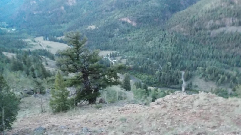 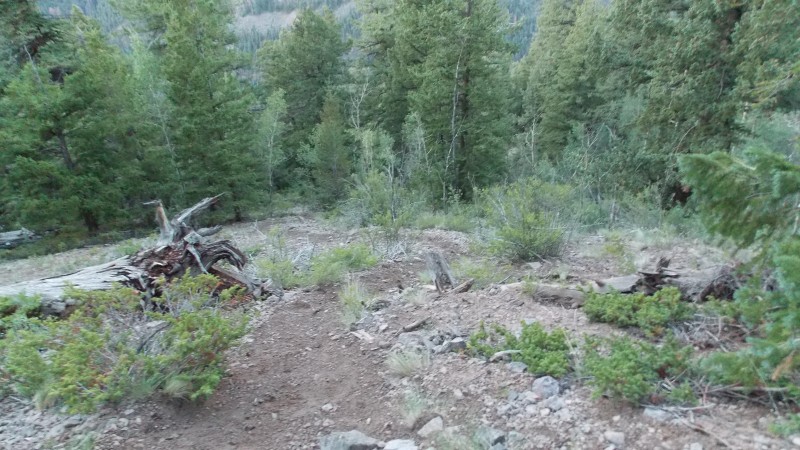  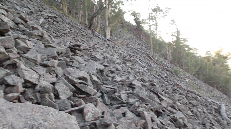  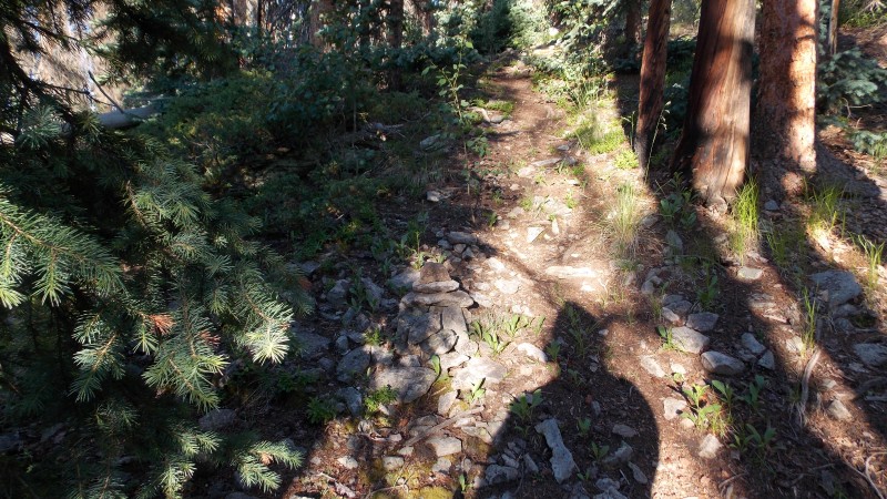 After about 2 and a half hours of hiking I finally reached treeline and the first view of Sunshine's summit and the ridge leading to it...I still had a considerable way to go. 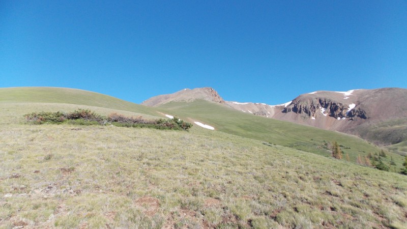 There is a large grassy ridge just above treeline that made for a nice place to take a break. I rested here for a few minutes and got startled by a couple of ptarmigans that weren't too far away when they decided to scurry! 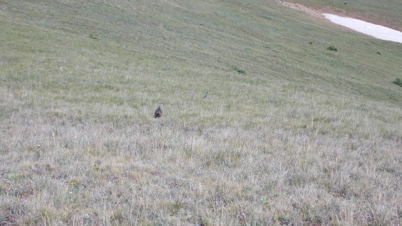 After hiking across the grassy, broad slope the trail gets steeper and rockier. The ridge is rocky, steep in places, but is fairly easy to follow most of the time. 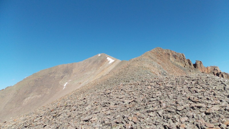 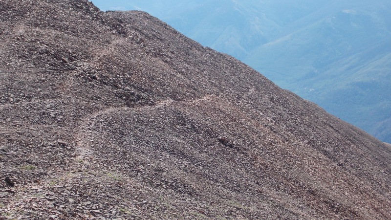 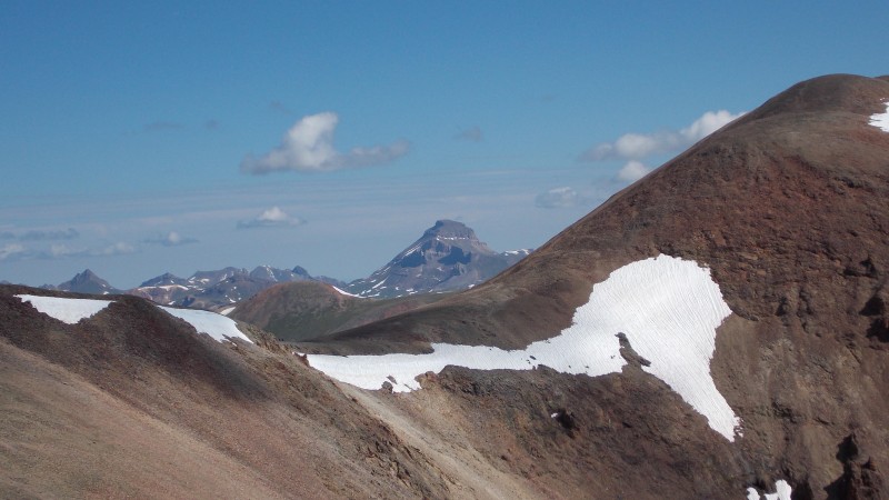 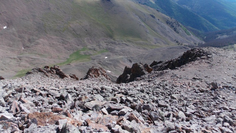 Finally, at 9:15 AM I made the summit of Sunshine!!! 14er summit # 19 was finally under my belt! 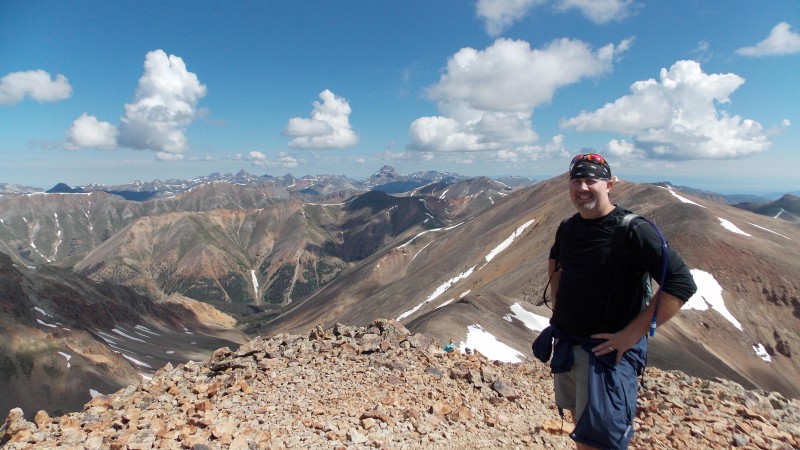 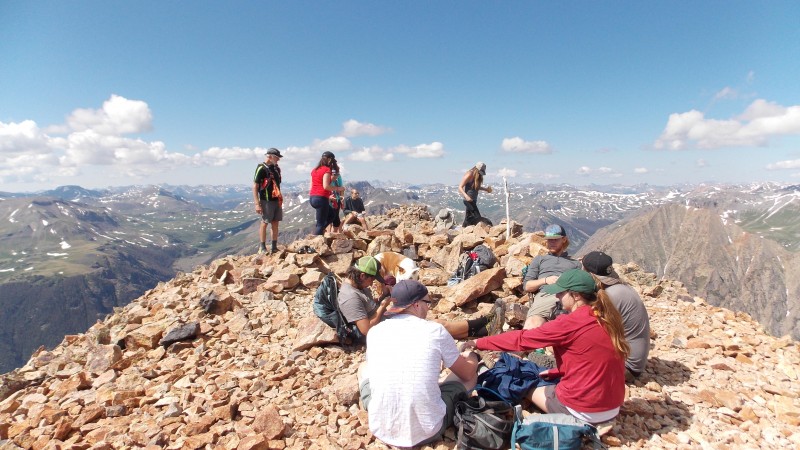 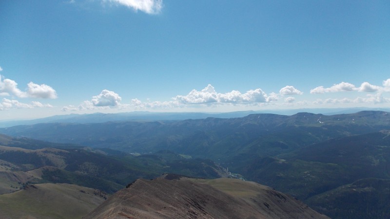 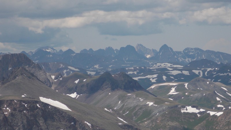 After about a 15 minute break on Sunshine's summit I figured I better start heading towards Redcloud...the morning started out with no clouds whatsoever, and what clouds were showing up were not threatening at all....yet. So, around 9:30 I was off! 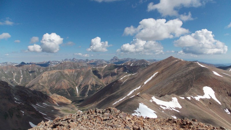 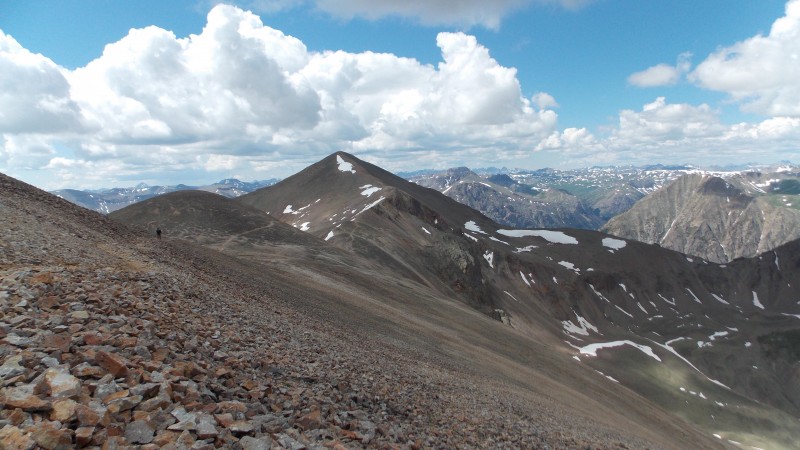 The ridge is straightforward and easy to follow, views are great too. 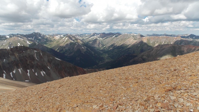 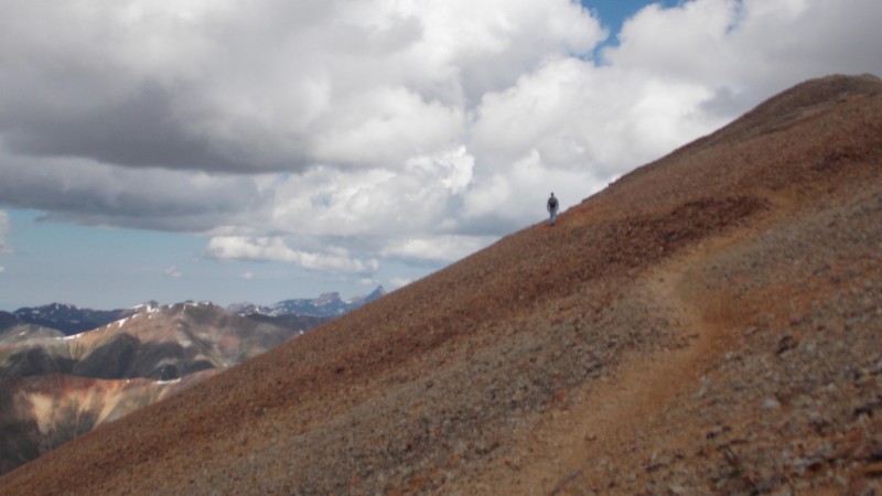 Made it to Redcloud's summit right around 10:30 am, at this time the clouds were starting to darken and look a little more ominous. I only lingered on the summit long enough to get a few pictures and started my descent right as some grauple started hitting, along with rain. 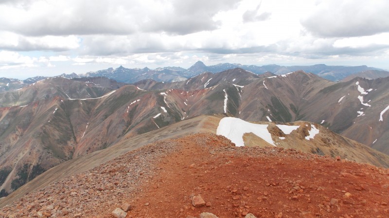 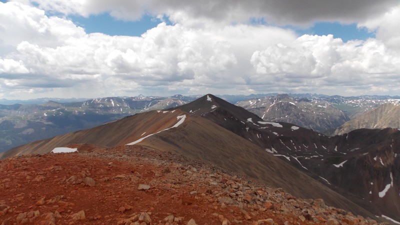 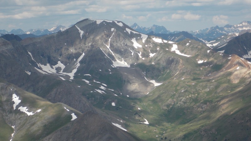 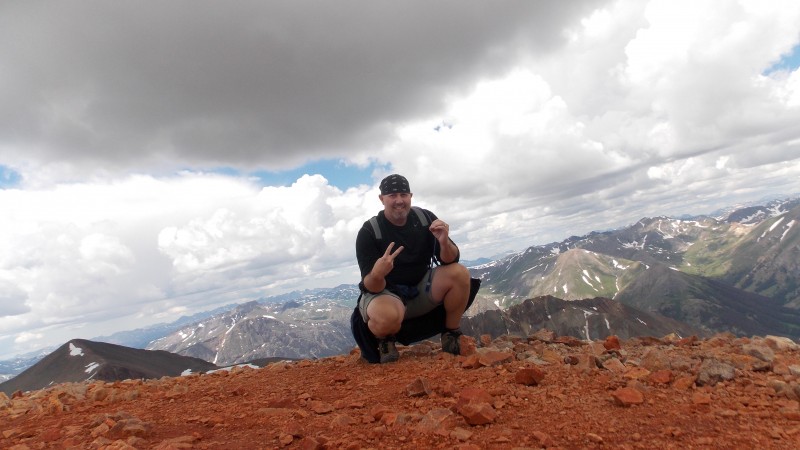 The descent was uneventful aside from the steady rain, the occasional roll of thunder. I did manage few wildflower pics along with a sweet marmot couple that serenaded my descent for a while. 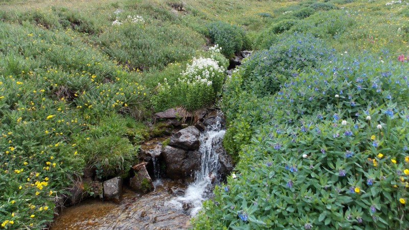 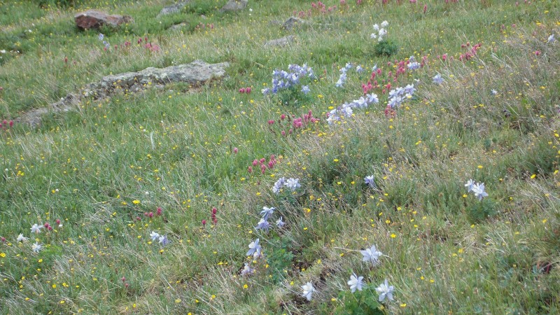 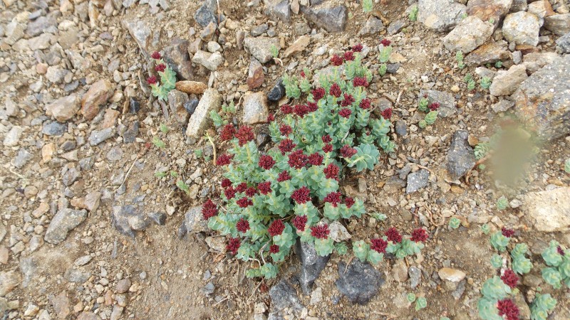  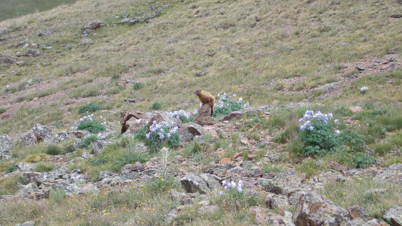 Once I got to the Grizzly Gulch/Silver Creek TH I started walking back towards Mill Creek on the road, I great guy from Denver named J.R. stopped and offered me a ride since he had finished Handies and was about to head to Creede for a possible look at San Luis Peak. I did not feel like walking in the rain anymore so I gladly accepted his offer! Thank you, good sir!!!! Overall, I feel like this route is not for the faint of heart. The trail from Mill Creek Campground is steep and unrelenting from the start. I would recommend doing the trail from the standard route, if you have a choice. There are places that the trail is hard to comprehend, especially below treeline, luckily cairns have been placed that help where the trail is faint. I got back to the GG/SC TH right at 1:30 or so. A roundtrip time total of 8.5 hours, taking a grand total of 20 minutes combined on both summits, plus several breaks on the hike. Being a flatlander and by no means fast, I think the time would be shorter for more experienced hikers. I probably would have taken closer to 10 total hours if I hiked all the way back to Mill Creek. I like loop type hikes, but this one is just too dang long to do that way, especially if weather could be a factor. (Which it was for me on this day). Storms started up a little earlier than usual this day, so I would have had to descend the standard route regardless, but having planned it that way I wasn't caught off guard. Thumbnails for uploaded photos (click to open slideshow):
|
| Comments or Questions | ||||||
|---|---|---|---|---|---|---|
|
Caution: The information contained in this report may not be accurate and should not be the only resource used in preparation for your climb. Failure to have the necessary experience, physical conditioning, supplies or equipment can result in injury or death. 14ers.com and the author(s) of this report provide no warranties, either express or implied, that the information provided is accurate or reliable. By using the information provided, you agree to indemnify and hold harmless 14ers.com and the report author(s) with respect to any claims and demands against them, including any attorney fees and expenses. Please read the 14ers.com Safety and Disclaimer pages for more information.
Please respect private property: 14ers.com supports the rights of private landowners to determine how and by whom their land will be used. In Colorado, it is your responsibility to determine if land is private and to obtain the appropriate permission before entering the property.


