| Report Type | Full |
| Peak(s) |
"Lackawanna" - 13,826 feet Unnamed 13385 - 13,385 feet Clover Mountain - 12995 |
| Date Posted | 03/27/2017 |
| Modified | 03/28/2017 |
| Date Climbed | 03/21/2017 |
| Author | bergsteigen |
| Additional Members | EatinHardtack, joelmpaula |
| On the sliding scale of Sawatch adventure skiing |
|---|
LackawannaTrailhead: La Plata Mileage: 6.39 Elevation Gain: 3633 Route: SW Gully Partners: Joel Date: March 16 With avalanche danger dropping to low levels for winter, Joel and I dismissed plan A of a repeat Gore peak ski, for something Joel has been suggesting (ie begging) for: Lackawanna!!! With Joel and Bill frequently suggesting this peak, and me knowing it's a mellow easy route, I've never been that enthusiastic. The east face would be steeper and more interesting, but it's a short line with a long approach. So while everyone else was out grabbing big lines... here we were skiing ol Lackawanna. But, at least I won't hear Joel begging anymore for this peak! That's a bonus On the adventure scale, this one is pretty minimal. I perused my old TR from 2013 quickly for the details. We would be skiing this one 2.5 months before I did it the last time, so conditions would be quite different, and hopefully much better. Last time I was able to park at the base of the route and boot up to the snow. This time I wasn't quite sure where we would be able to park, as the road was likely minimally plowed. This unknown was about the only adventuring to this day! I got up to the La Plata TH and kept driving past the first gate on 82. The road is plowed for another 2 miles to the FS road and then ends in a pile of snow. The route starts exactly 1 mile in between where we could safely park. So when Joel arrived in the morning, we discussed our options, as there were no pullouts, so it wouldn't be safe to park on the road. There were at least 3 vehicles that drove up and down the road in the time we were skiing the lower section. So we decided that Joel would shuttle our gear up to the base, and we'd walk the mile without gear, to make it go quicker and easier.  Moonset We skinned up the firm transitioned snow, through the lower aspen grove and got into the stream drainage that would take us up the gully. A few interesting steep sections were encountered, so I used willows as ascending help in places. Soon enough we went through the gully entrance and only had a few more obstacles before getting into the easy gully proper. All the wind/gully features were there like from my first trip, just a lot more snow to choose a route from. 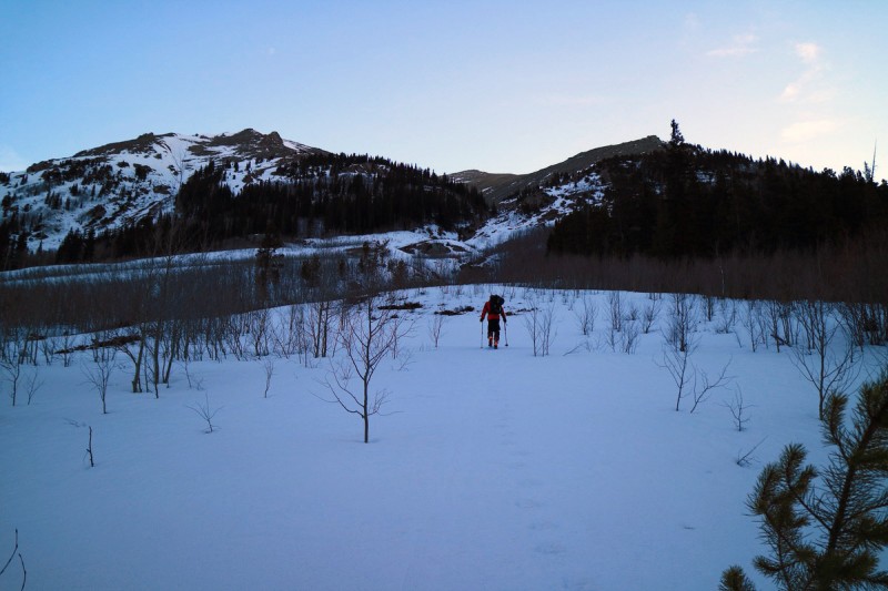   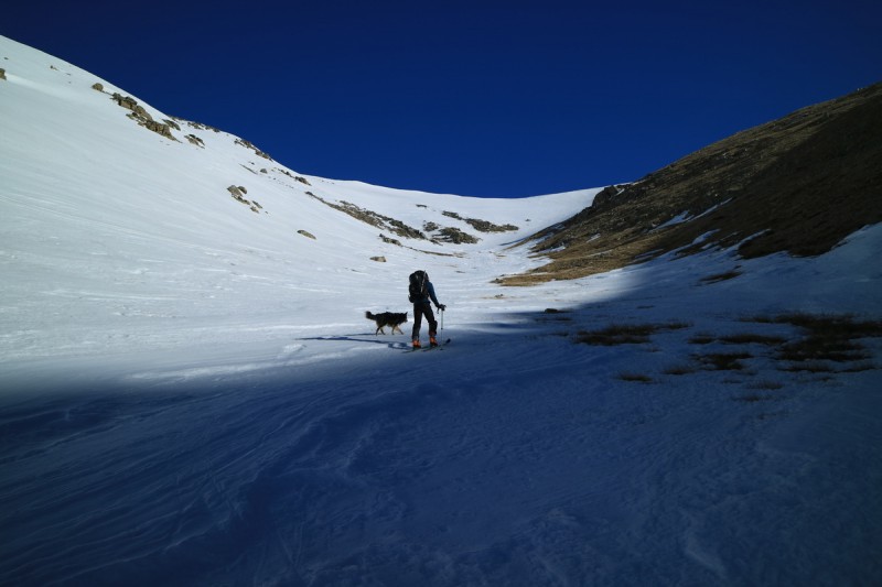 In the gut of the gully, we saw evidence for an old slide from mid winter. (or maybe a wet slide from an earlier warm up. Tough to say with this weird "winter") Skinning around this slide was becoming difficult, so eventually Joel switched to booting for the remainder of the ascent. 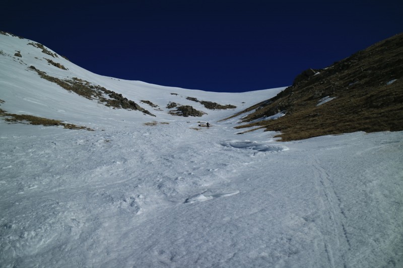  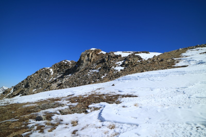 The snow up on the upper ridge has been battered by wind all winter, and was really thin in spots. Some spring sticky snow will be needed to help out ski descents in the dry Sawatch. So many lines are not continuous right now! After what seemed like an eternity, I reached the summit where Joel and Max were waiting. I happened to catch the company flu (3 weeks and counting), and wasn't quite feeling top notch. The views from the summit were quite nice. Looking west at all the eastern lines, gave me hope for a decent ski season. Looking east... not so much. Even Massive SW slopes is out.  Brand new boots!!! Same as the old boots!  Joel on a new Centennial peak 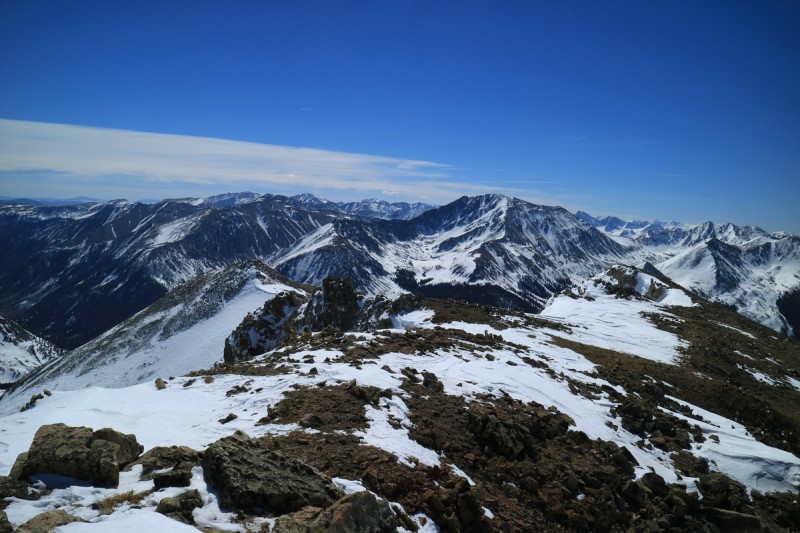  Mt Massive SW route is looking dry and NOT skiable.  After a short break, it was corn-o'clock. Time to ski. The upper part was annoying, but once we got down to the lower ridge, it got much better. The ridge itself was still icy with the light breeze, but once we dropped into the gully itself, the corn got better and better! 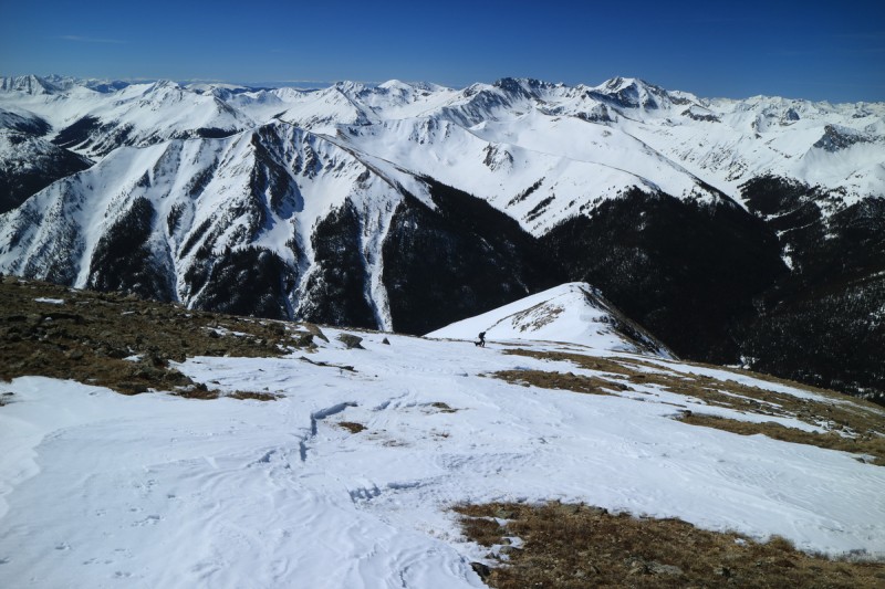 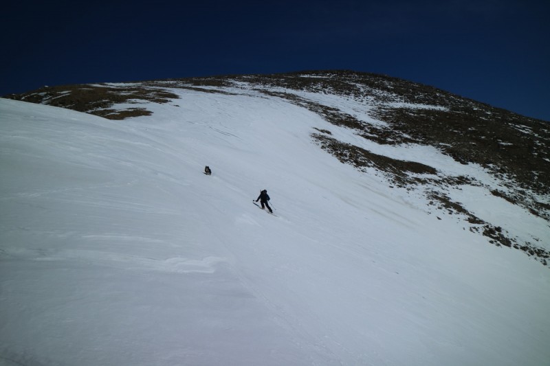 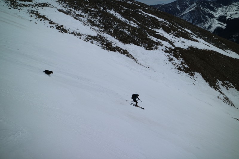 The best skiing was had on the solar slopes that faced more SE, than in the gully proper. Last time, I wasn't able to ski these melted out zones, so that was new at least! 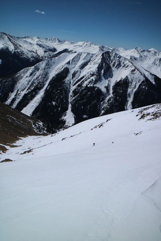   After exiting the gully proper, the snow became unsupportive in places, especially in the trees. So we went directly to the road and skied down the road berm. Joel collected his running shoes and then ran most of the way down the road with Max at his side. I chose to ski at the side of the road all the way to the car. Mostly downhill, with a few flatter sections to skate. The berm was pretty solid from the road plows, so no issues there.  Of course Joel and Max are running down the road. 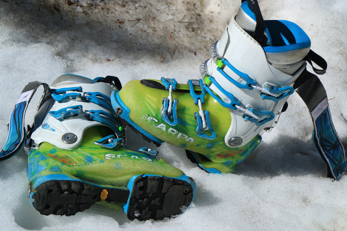 What AT boots look like after 82 peaks and ~55 other BC ski days. Thanks to Scarpa being an awesome company, I'll get new soles and liners to extend the life of these work horses! After breaking into Joel's car, I was off to see about day 2 of my long road trip. I had no idea if there was a skiable line even. No one talks about this peak... Pt 13,374Trailhead: Frenchman Creek TH spring gate Mileage: 15.52 Elevation Gain: 4927 Route: East Face Partners: solo Date: March 17 I get to the turn off from Hwy 24 and see the peak for the first time with this years coat of snow. It looks... wind blasted and rather dry, BUT I think I could ski it continuously. Be a weird traversy side hilly kind of line, but it'll go for a while off the face. Next up - how far can I drive? That gets answered rather quickly as I see the gate at the transition from private to public lands. Ugggg this isn't good. The peak is only about 5 miles away as the crow flies, but I sure can't travel that way. Everything around me looks dry as summer. Snow has to start much farther up the hill than where I am. After checking the lower sign lower down, I kick myself that I put off this peak for a few weeks, and here I am with the gate closed, just 2 days ago! What are my chances on that one?! So I drive into BV and begin texting and researching for another option. With the big snow year, roads are blocked lower down than they have been in years past. Most fun things would be just as far, if not farther, of an approach than this peak. I hit up the sustrugi loving skier, Money Mike, to see what lines he recently skied, and he mentions that the line never warmed or corned up, despite being easterly and quite solar facing. Hmmm.... My partner for later in the road trip also wants to ski this peak, so I really can't repeat within a week! At least the Lackawanna repeat had 4 years in between! After way to much time wasting, and being that strange person sitting in their car by the closed park in BV in the dark, I go back to option 1. Let's have that extreme adventure on 13,374!  I think I see a skiable line... (from Hwy 24)  Great... I show up 2 days after they close the road!  The gate with the outdated sign After a day on my brand new boots, I decide that it went well enough, I'll use them again today. I figured the road was dry for miles, so I start out in my super light hiking boots and all my ski gear on my back. This is going to be a looooooong day, so I start as early as I can manage it, under the light of the waning moon. I figured I would have a long dry road walk ahead of me. But I encountered snow pretty soon after the gate. Turns out, I may have been able to get the Subi 0.4-0.75 miles up the road. What ensued for the next 4 to 5 miles of road was almost comical. When the snow stayed firm enough to not post hole, or I could avoid the snow at the edge of the road, I booted up in my hiking boots. When I started to post hole, I fully transitioned to skiing. But on the solar aspects of the road, it was back to full dry. With my pivot bindings, it turns out that it was easier to transition back into my hiking boots, and leave my boots fully locked and leashed into my skis, than walk in the AT boots. I think I fully transitioned about 7 times all day long. At least my boots had time to dry out in between, a bit! Shortly after the road turned and stayed going uphill, the snow became fully continuous on the way up, so I was done with transition city! Bonus. Bad news, I was still a really long way away from the summit. Head down and burn miles and elevation time! 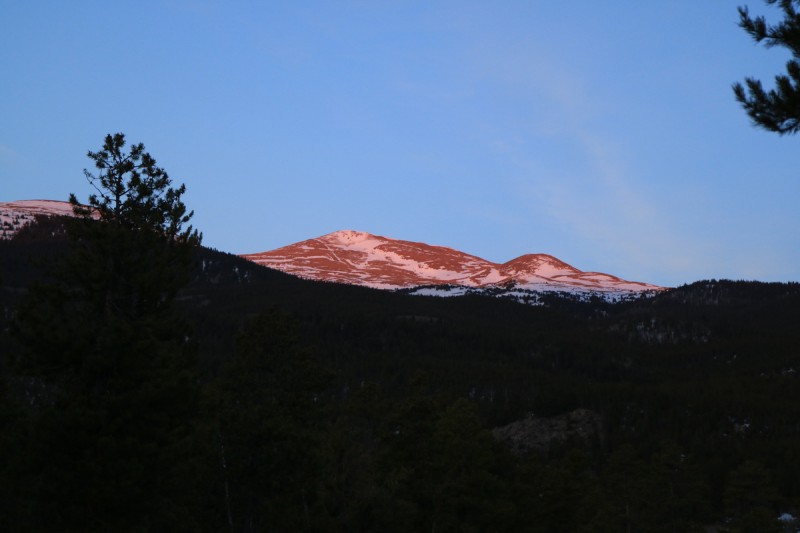 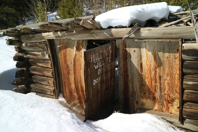 The road was a fairly easy skin up to the end, snow stayed rather firm. Kept the skis on through the gate just before the mine, and got to check out the ruins on the way up and out. (Better photos on way out) After the mine... that uphill and traverse to the correct drainage: utter glop monster torture! I had wax with me, but my skins were soaked by the time the first monster attached itself to me. Felt like I had a toddler on each leg, as I tried to make my way up hill. Every time I would knock off the glop, a few minutes later, another would form! I found every downed tree, branch or rock I could to skin over to ease my suffering. Relief didn't come until I exited the trees and got back onto firm icy snow. 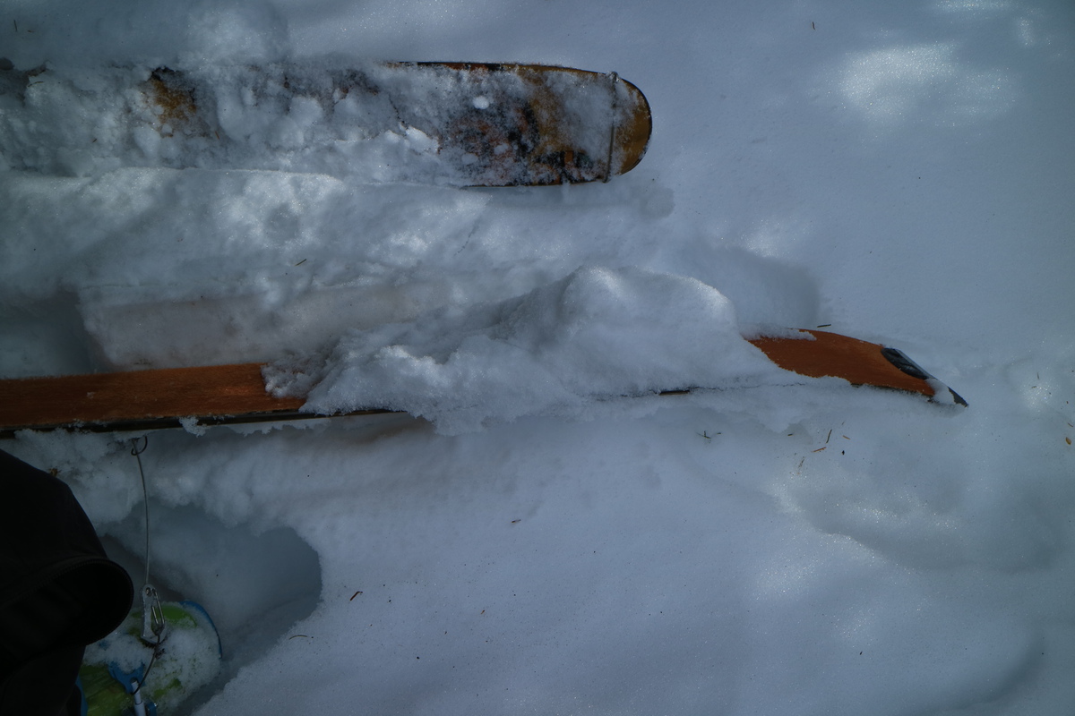  Completing the contour traverse into the approach drainage, I could finally see my destination!!! Quite motivational, considering how late in the morning it now was. The snow in this mellow gully was still quite nice and not too corn transitioned yet, so I kept going uphill. I had chosen this peak to do in "winter", since it has a mellow avy safe option for descent. I wanted the face, but that would be a summit decision. 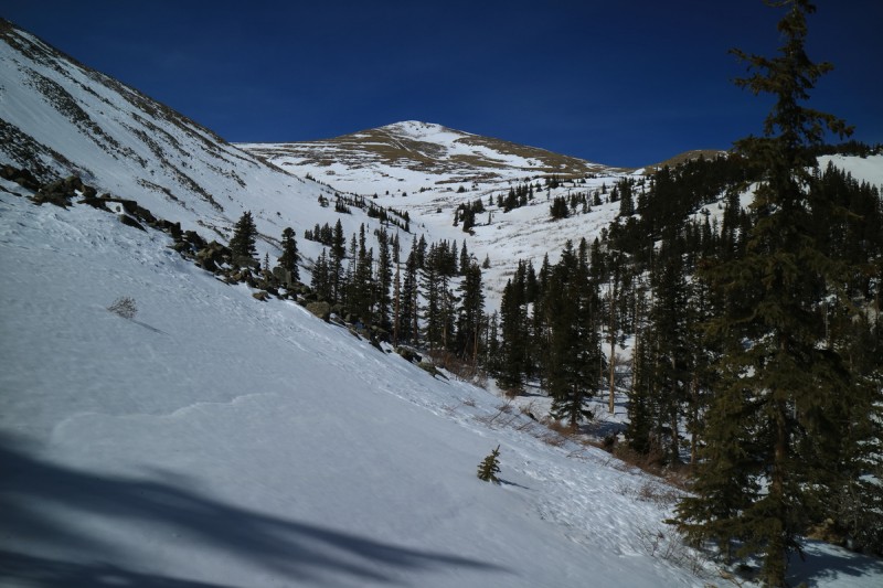 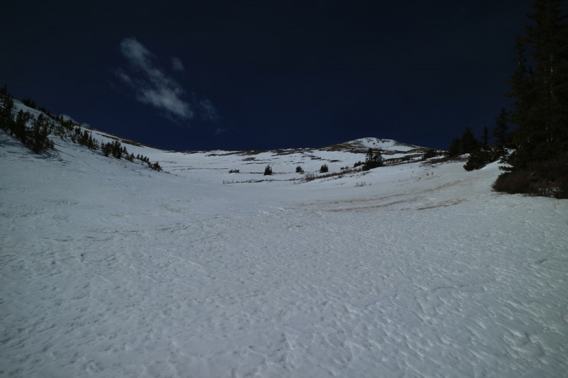  As I get up to the summit ridge, there is a significant gap in the snow before you can skin to the summit. There goes the easy mellow option... After so many many hours, I finally summit my first new 13er of the year! Feels good to finally get back to the list. I snap a bunch of photos of the surrounding 14ers, from a very different vantage point than they typically get viewed from. Now that I'm in cell service for the first time in quite a few hours, I begin frantically texting Zach about the second half of the road trip. I knew that it would be evening before I got back to my car, let alone drive into BV for cell again, everything had to be mostly settled in the time I was on the summit. It's also after 2pm, and I want to ski a reasonably steep eastern line! After a bit of hashing out on a cold-induced low battery, I get prepared for my descent. 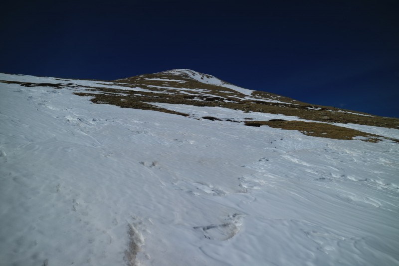 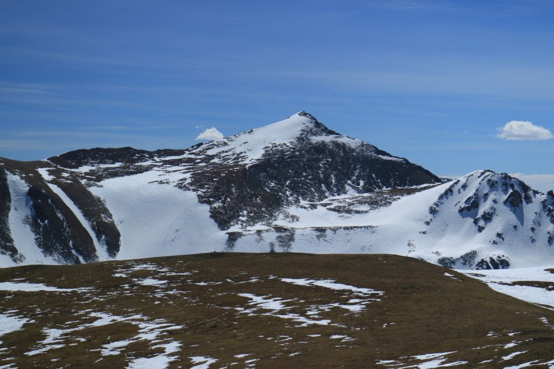 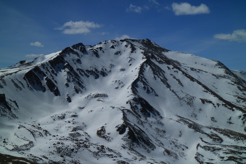  Thankfully, as it is still March, the line was still solid. I knew the beta from a couple days ago from a different solar line didn't warm up, but I had assumed this late in the day I would have corn. Nope, I didn't get corn until I was below 13K and well below any wind off the ridge. Thankfully I had tuned my skis for this trip, so I had pretty good edges. There were rocks if I fell, so I kept my jump turns under control. Once off the face, it was a traverse and drop, traverse and drop kind of ski. Not ideal, but at least skiing downhill is considerably faster than walking! 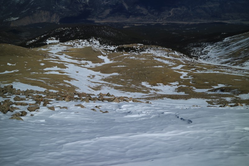 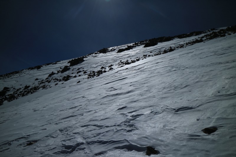 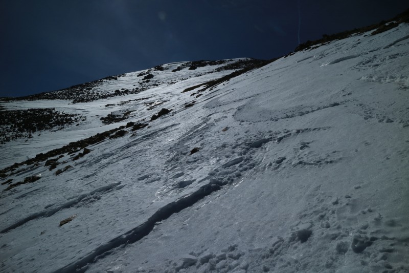 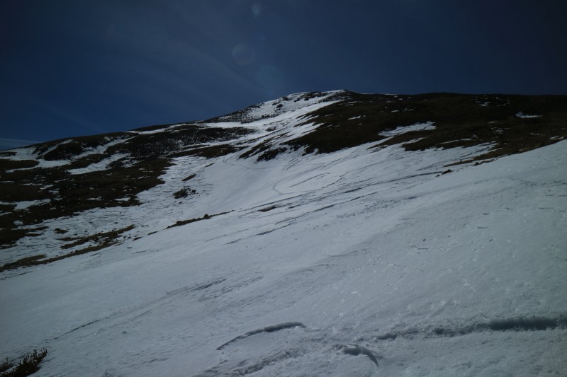 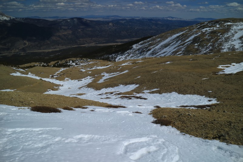 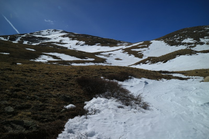 After skiing the summit line, I traverse over to my mellow ascent gully and quickly get back to the job of traversing/contouring into the proper drainage. Using my GPS, I knew I didn't have to contour too hard, and took advantage of some breaks in the trees to quickly traverse. I manage to pretty accurately hit my up hill track, as I started up the ridge area. The snow that had glopped my skis so badly, was sloppy. Rode the tails and picked my way through the open areas before traversing back to the mine and the road below.  Mining ruins  An old tractor Below the mine, it was mostly downhill on a road. So I water skied my way downhill, until I took off my skis and AT boots for the first time of many. 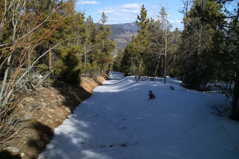 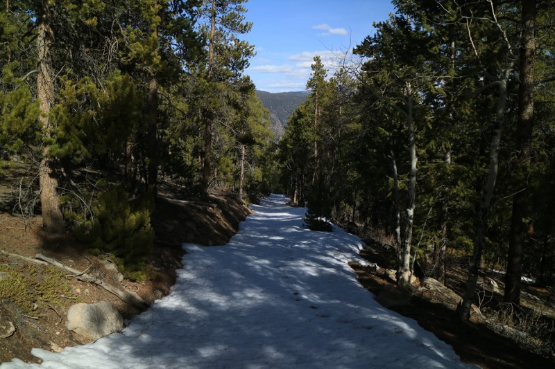 I got down for the remaining sunlight as it hit Mt Princeton obliquely. A nice ending to a really long day of adventuring!  Clover MountainTrailhead: End of FS 320 Mileage: 8.52 Elevation Gain: 3,192' Route: East Ridge, SE Face Partners: Zach Date: March 21 After our long road trip out To Flagstaff Arizona for a successful Humpreys Peak descent, and our attempt on Mt Peale in the La Sals went bust (in a separate TR), we wanted a closer to home peak that would be reasonably simple and easy. So we settled on Clover Mountain, next to Mt Aetna. When we skied the Grand Couloir, both Zach and I liked the look of Clover. So it's nice to have these peaks/routes in mind when searching for some plan B/C/etc. On our drive from our campsite to the trailhead, we got treated to a nice sunrise on the monarchs of the Sawatch. Most look pretty wind scoured, and like Shavano (pic at end), look either not skiable, or barely.  Princeton sunrise  Yale and Columbia  White and Antero We managed to find a legal parking spot in the very tiny area allotted to us who are not using the snow machine tour services. From there the snow was almost perfectly continuous all the way up the road. We made slow steady progress up the road, and were treated to a view of our peak and desired line.  At the base of the Grand on Aetna, we diverted from the road, crossed the stream and made our way up through the trees and onto the east ridge of Clover. From there, it was a simple skin all the way to the summit. 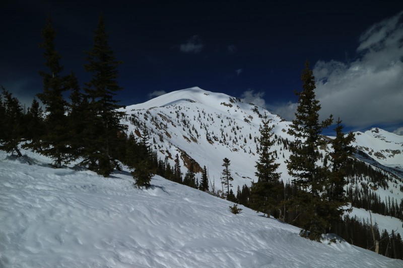  The might Grand on Aetna 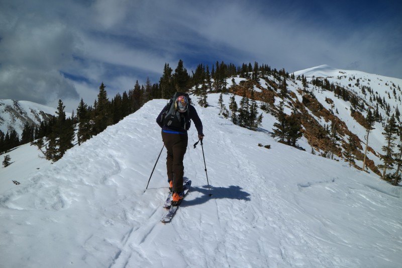  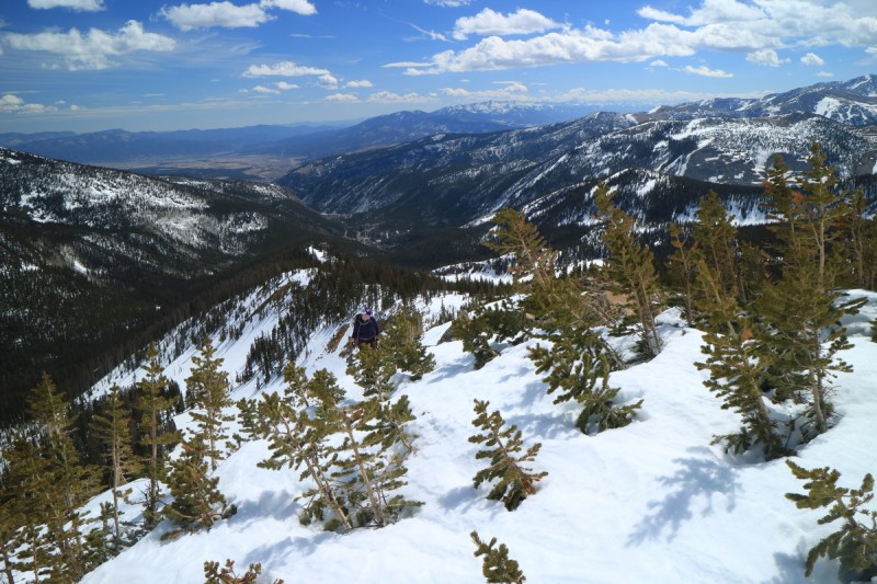   Aetna and Taylor 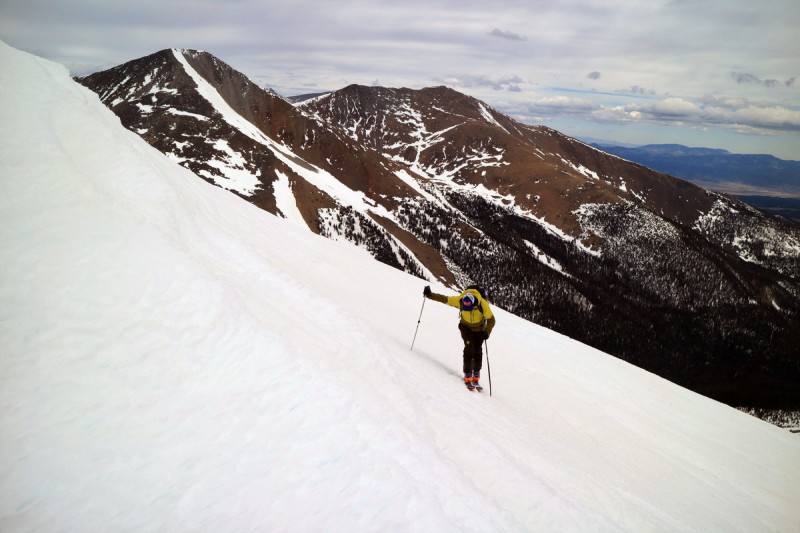 A short bit before reaching the summit, we realized that the storm was coming in from the west, and would soon make lighting very difficult. The wind had also picked up. So what we had expected as a great corn descent of the NE couloir/gully, may be a steep and icy descent with no contrast. We discussed our options, and with Zach feeling pretty tired, it was an easy decision to hit up the big southeast face. The NE line would be there for future perfect corn skiing another day!  13ers to the north that look pretty skiable  The very snowy Gunnison valley 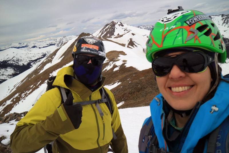 After a summit break, where we hoped the sun would peek out of the clouds, but didn't, we started downhill. The top part was refrozen corn, but a short distance down, it got quite nice! Nearing the basin, it started to get a bit sloppy. But that's where we decided to traverse over the ridge and ski some more northerly cooler aspects. 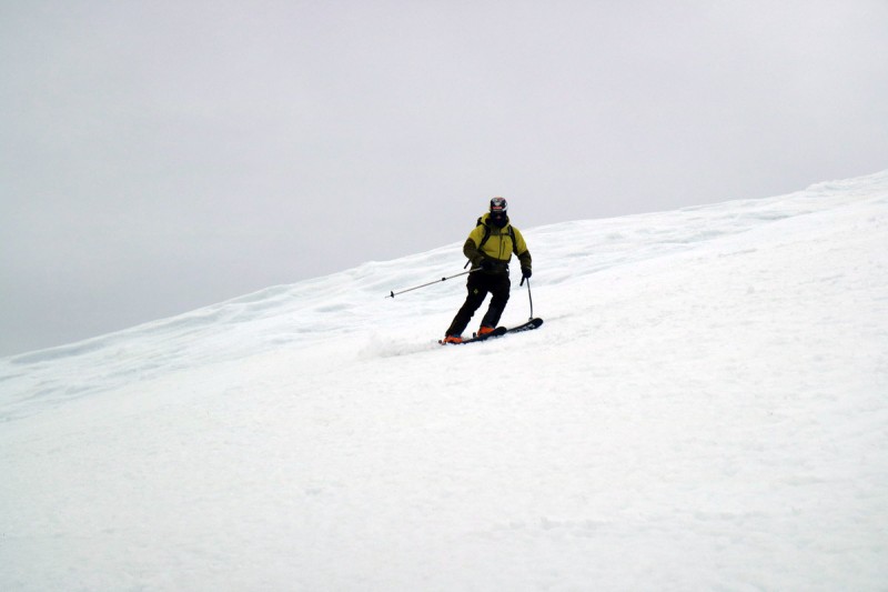 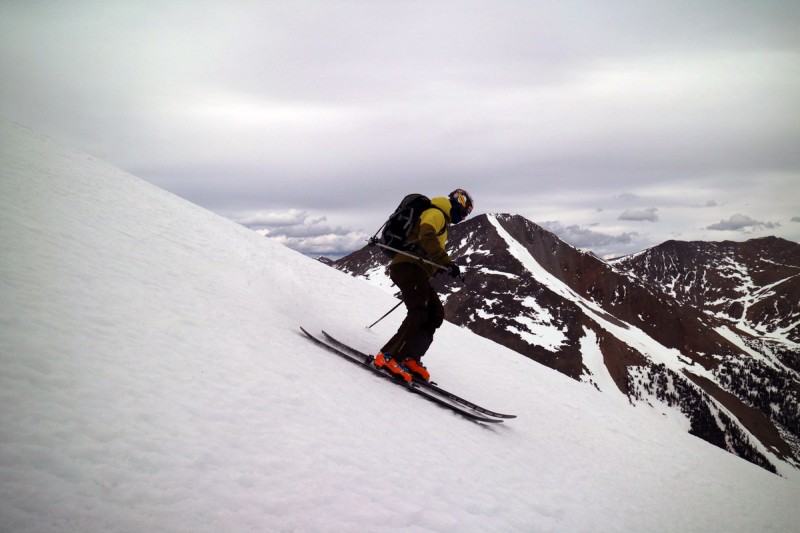 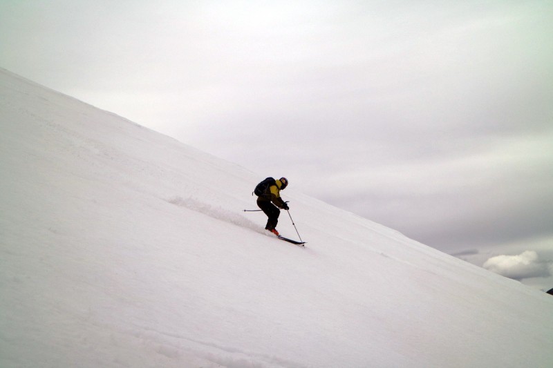   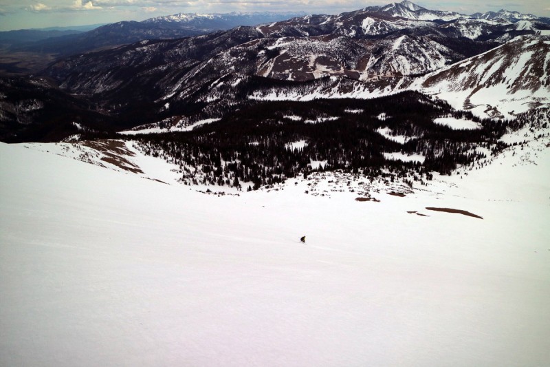 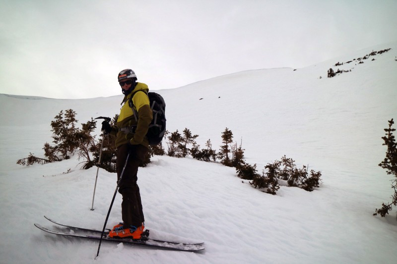 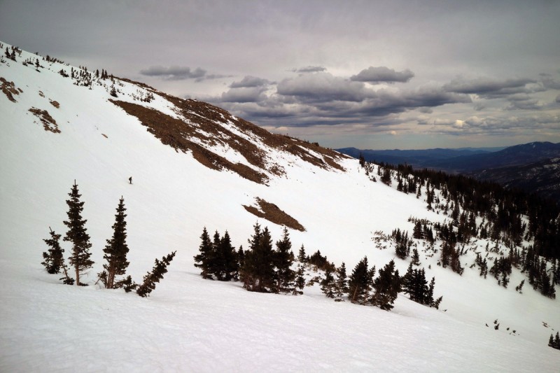 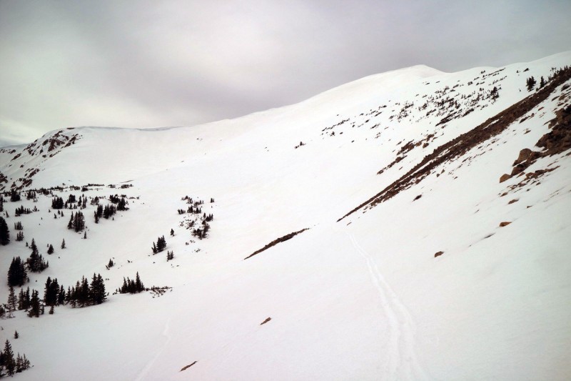 The more northerly aspects skied much firmer, but also went to sloppy down lower in the valley. On one of the last drops, we saw the mangled remains of trees from a fairly big avalanche this past winter. Kind of spooky, as the snow was so smooth at this point, so it must have been pretty early in the season. 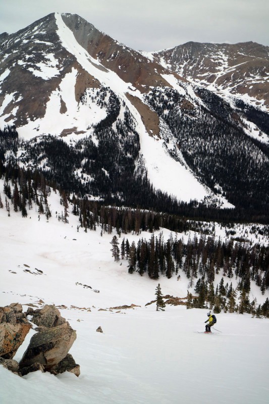  Avalanche debris  I'll be back for this line another day  Shavano's Angel needs some more snow! So after 6 days on the road, I skied 4 of them, with one day being lost to early warm temps and a long approach. Not bad for an end of winter, start of spring ski road trip! Thumbnails for uploaded photos (click to open slideshow):
|
| Comments or Questions | |||||||||
|---|---|---|---|---|---|---|---|---|---|
|
Caution: The information contained in this report may not be accurate and should not be the only resource used in preparation for your climb. Failure to have the necessary experience, physical conditioning, supplies or equipment can result in injury or death. 14ers.com and the author(s) of this report provide no warranties, either express or implied, that the information provided is accurate or reliable. By using the information provided, you agree to indemnify and hold harmless 14ers.com and the report author(s) with respect to any claims and demands against them, including any attorney fees and expenses. Please read the 14ers.com Safety and Disclaimer pages for more information.
Please respect private property: 14ers.com supports the rights of private landowners to determine how and by whom their land will be used. In Colorado, it is your responsibility to determine if land is private and to obtain the appropriate permission before entering the property.


