| Report Type | Full |
| Peak(s) |
Mt. Lady Washington - 13,277 feet |
| Date Posted | 03/17/2017 |
| Date Climbed | 03/05/2017 |
| Author | Bob Kocher |
| Scenic Loop via Camel's Gully |
|---|
|
Mileage: 8-9 miles Time: 11.5 hours Climbing Partner: Mark Van Lenten A month or so ago my friend Mark, who lives in PA, said he was getting summit fever--Colorado style. We decided on the date and starting tossing around ideas for when he arrived. The standard route up Mount Lady Washington emerged as the front runner for day 1 of the weekend. The weekend before our trip a friend of ours, Nathan Hoobler, successfully climbed the Flying Dutchman and suggested we make a loop via the Camel's Gully. What's the Camel's Gully, where is it and do I have any business going up or down it in winter? Nathan provided some great information about the route, including pictures from his climb a week before. SummitPost (http://www.summitpost.org/camel-s-gully/200414) and a few TRs on this site were also helpful, but I didn't find any information about the route during winter, which is why I'm adding this TR. The slope from the Chasm Lake Trail junction over to Chasm Lake and then the lower half of the Camel Gully could pose avalanche concerns under the right snow conditions and that concerned me. Having only taken avy awareness classes I knew there was a whole lot I didn't know about evaluating snow conditions and how to travel safely in the backcountry during winter (and in spring too). We decided to check it out and if we had any reservations about the conditions then we'd opt for the standard route up and down MLW. Thankfully, conditions were favorable for us, but please don't assume the route is always like this in early March. 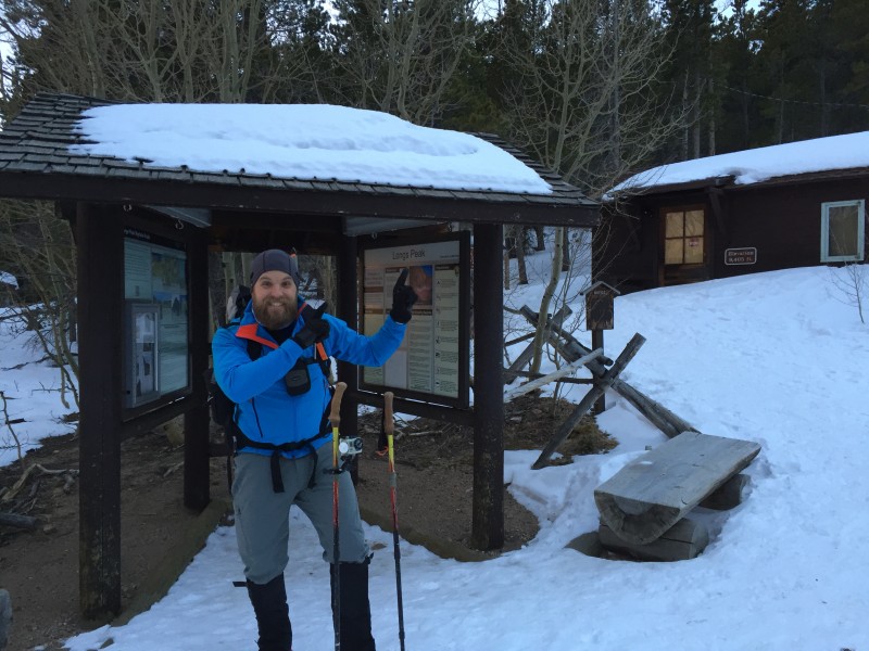 We left the Longs Peak ranger station at 6:30 a.m. and 15 minutes into our hike we passed two guys returning from a 30-hour day and a successful climb of Kieners"yes, 30 hours! We chatted briefly and they shared a few details with us and then they hurried down the trail muttering something about sleep. It didn't appear the Longs Peak area received any significant snow fall during the week and the trail was well-packed. We left snowshoes in the car (a good decision) and carried microspikes and crampons with us (also a good decision). We were glad to have spikes from the TH to treeline and again on the descent. Just after passing the Entering Alpine Tundra sign we crossed Alpine Brook and followed the packed trail as it weaved through the pines and into the flats of Mills Moraine where you are greeted by a view that reminds you why you love the backcountry.  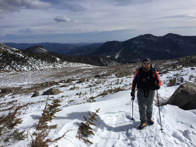 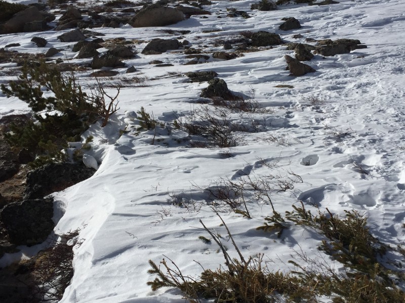 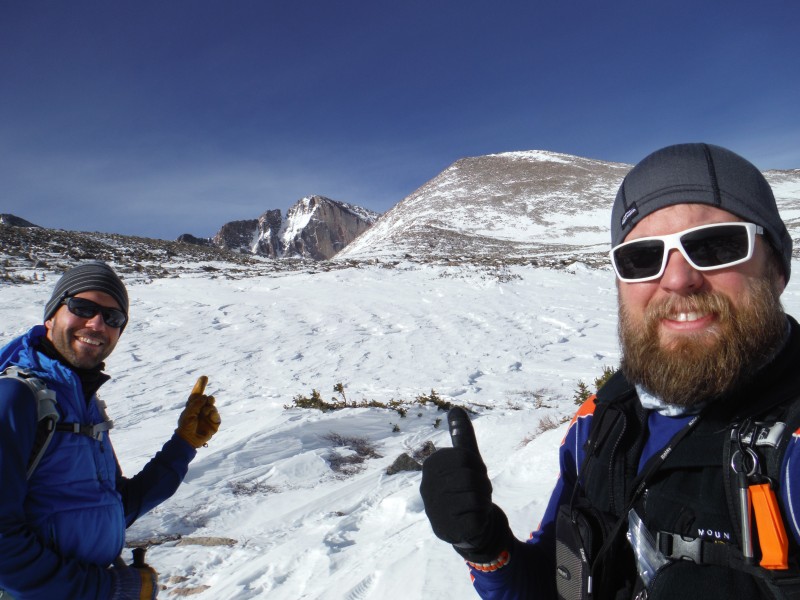 It took us just over 2.5 hrs to get to the Chasm Lake trail split where we talked to a few other hikers who had started towards Chasm Lake, but made the decision to turn around since they did not have ax, crampons or helmet. If you're out for a leisure hike the Chasm Lake trail split is a worthy destination with great views. We added an extra layer, donned our crampons and ax and headed off to evaluate the snow conditions on the traverse over to Chasm Lake. We liked what we found and so we continued. This is where the fun started. 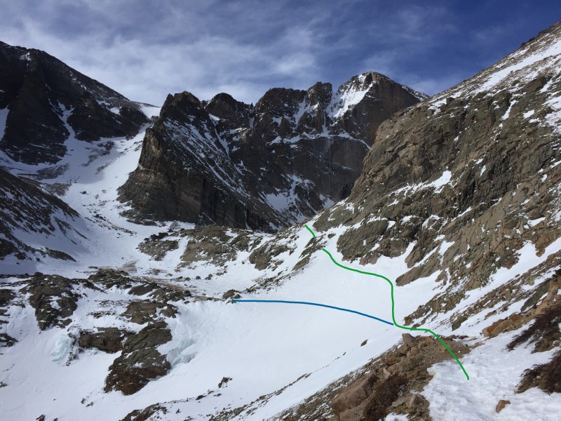  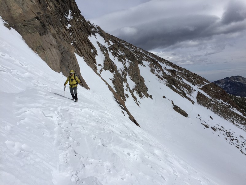 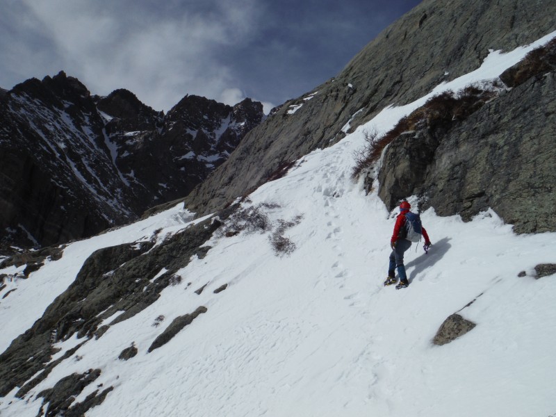 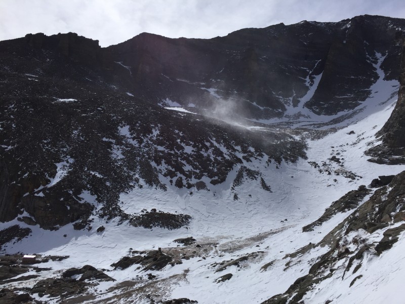  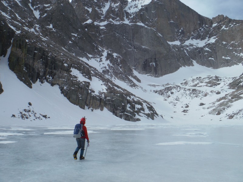 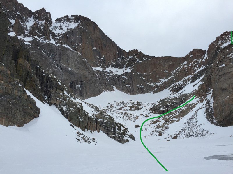 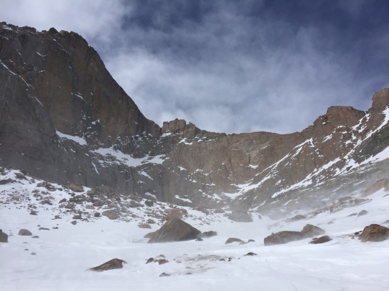 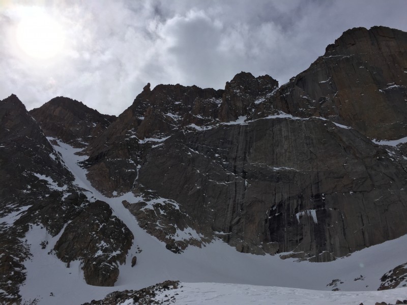  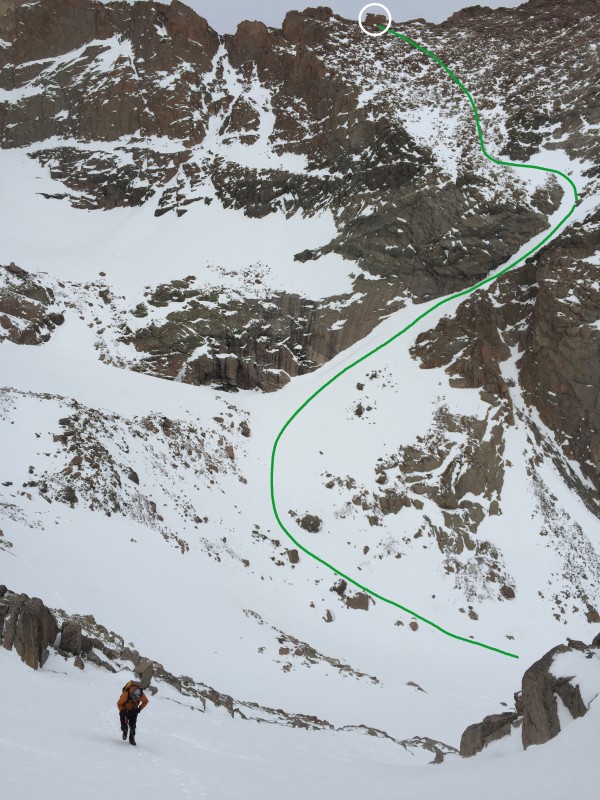 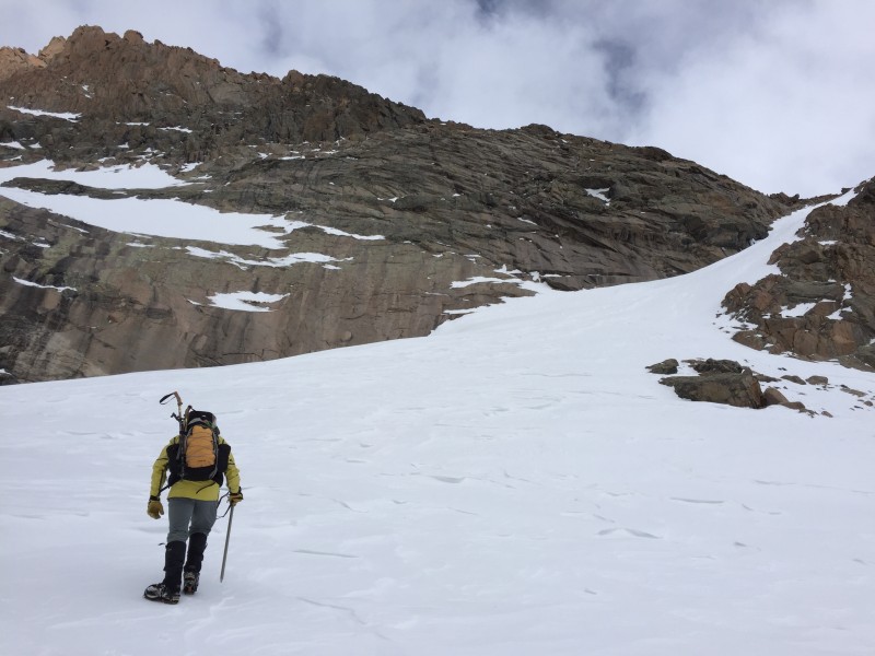 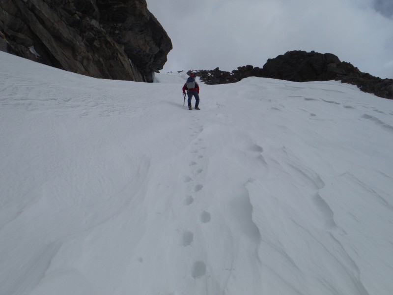 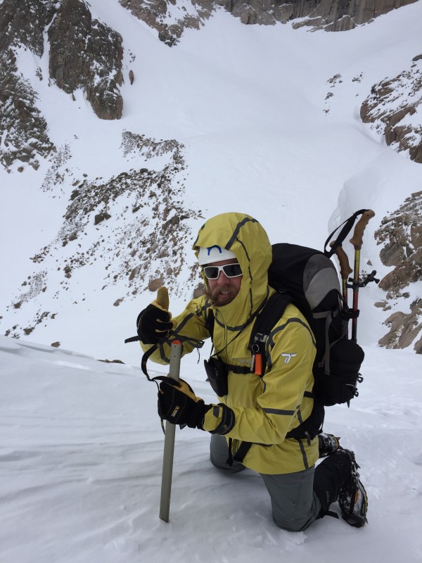 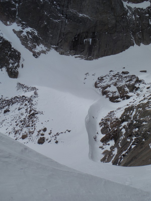 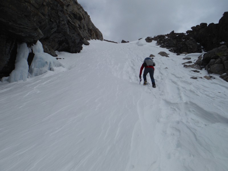  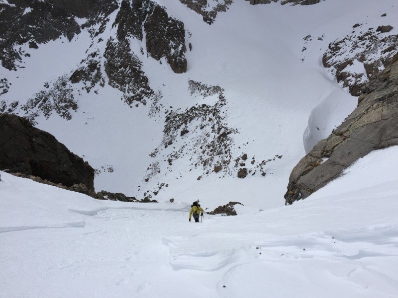 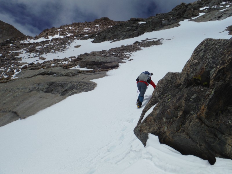  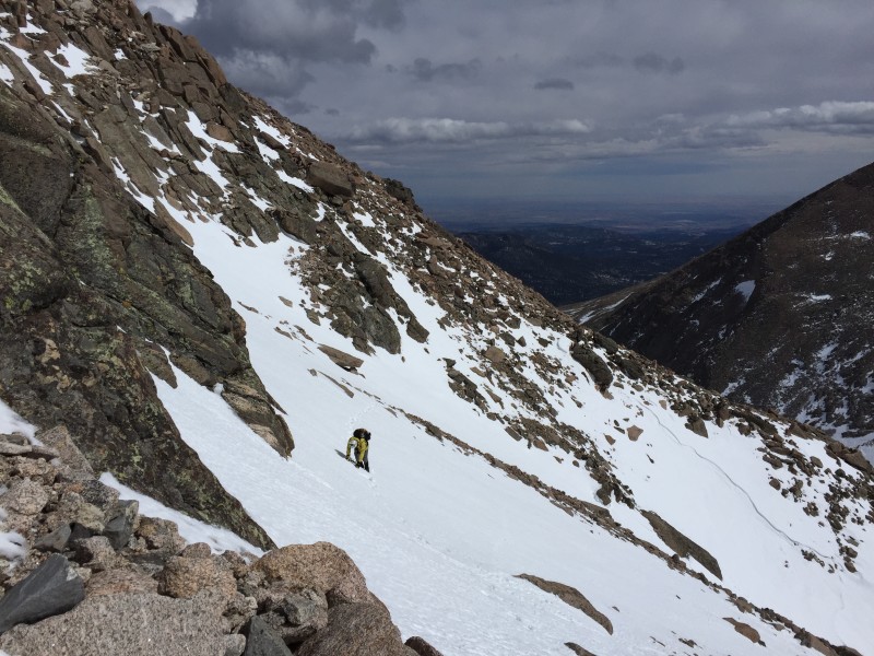 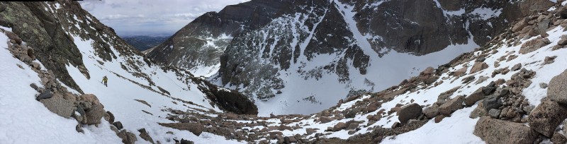 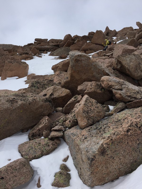 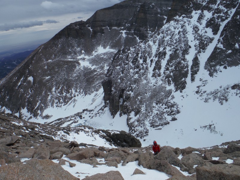 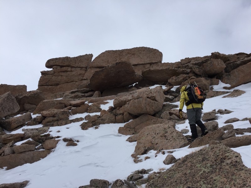    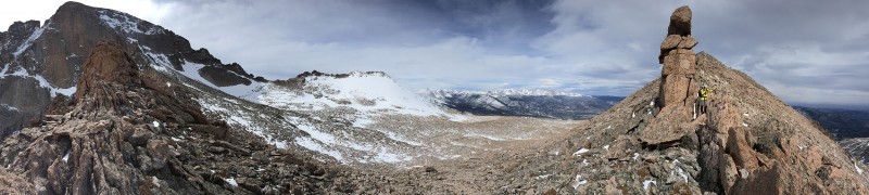 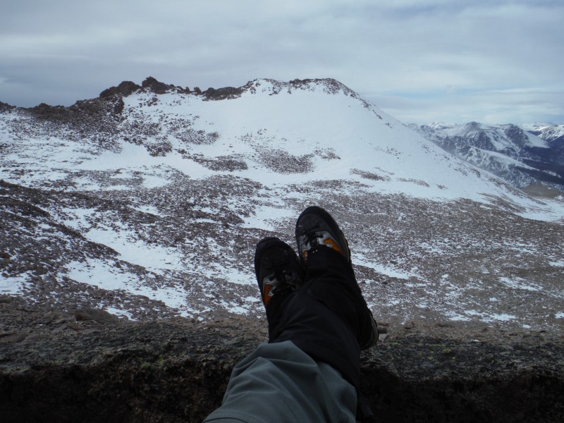 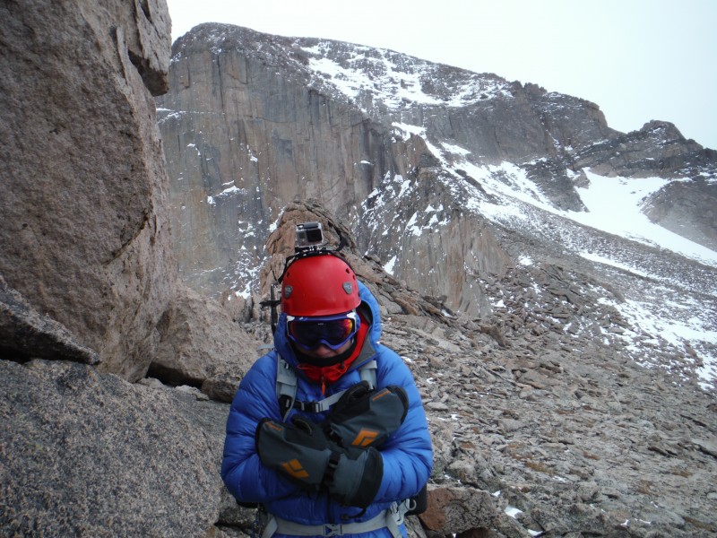 Next stop: MLW summit. We stayed on the south side (climber's right) of the ridge hoping it would block some of the wind. The class 3 ridge isn't very long and soon we were on the lower of the two summits. 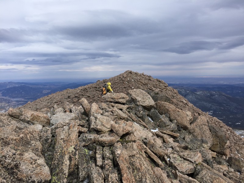 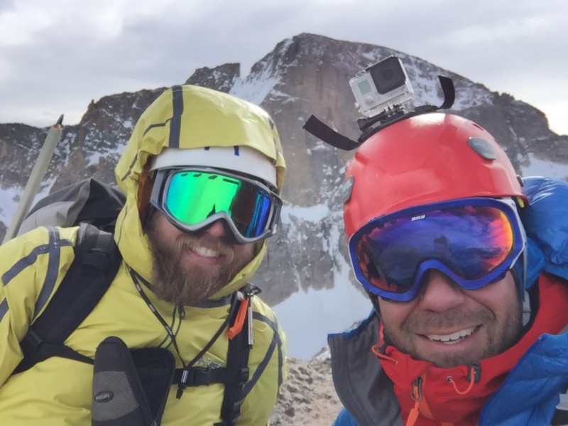 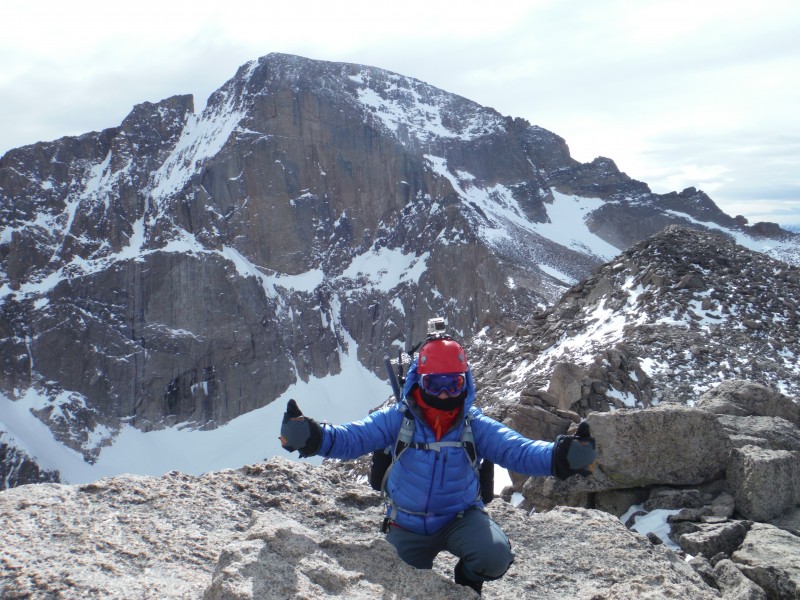 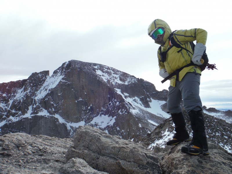  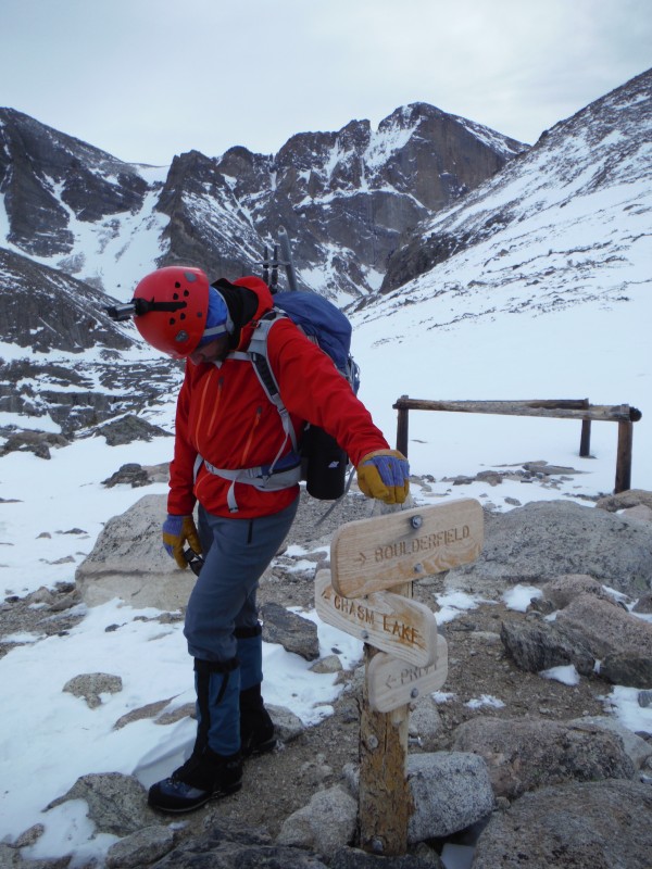 Yet again, another fun, challenging and memorable day in the mountains; and as always we give thanks for safety while we were away from our families. Thumbnails for uploaded photos (click to open slideshow):
|
| Comments or Questions | |||
|---|---|---|---|
|
Caution: The information contained in this report may not be accurate and should not be the only resource used in preparation for your climb. Failure to have the necessary experience, physical conditioning, supplies or equipment can result in injury or death. 14ers.com and the author(s) of this report provide no warranties, either express or implied, that the information provided is accurate or reliable. By using the information provided, you agree to indemnify and hold harmless 14ers.com and the report author(s) with respect to any claims and demands against them, including any attorney fees and expenses. Please read the 14ers.com Safety and Disclaimer pages for more information.
Please respect private property: 14ers.com supports the rights of private landowners to determine how and by whom their land will be used. In Colorado, it is your responsibility to determine if land is private and to obtain the appropriate permission before entering the property.


