Download Agreement, Release, and Acknowledgement of Risk:
You (the person requesting this file download) fully understand mountain climbing ("Activity") involves risks and dangers of serious bodily injury, including permanent disability, paralysis, and death ("Risks") and you fully accept and assume all such risks and all responsibility for losses, costs, and damages you incur as a result of your participation in this Activity.
You acknowledge that information in the file you have chosen to download may not be accurate and may contain errors. You agree to assume all risks when using this information and agree to release and discharge 14ers.com, 14ers Inc. and the author(s) of such information (collectively, the "Released Parties").
You hereby discharge the Released Parties from all damages, actions, claims and liabilities of any nature, specifically including, but not limited to, damages, actions, claims and liabilities arising from or related to the negligence of the Released Parties. You further agree to indemnify, hold harmless and defend 14ers.com, 14ers Inc. and each of the other Released Parties from and against any loss, damage, liability and expense, including costs and attorney fees, incurred by 14ers.com, 14ers Inc. or any of the other Released Parties as a result of you using information provided on the 14ers.com or 14ers Inc. websites.
You have read this agreement, fully understand its terms and intend it to be a complete and unconditional release of all liability to the greatest extent allowed by law and agree that if any portion of this agreement is held to be invalid the balance, notwithstanding, shall continue in full force and effect.
By clicking "OK" you agree to these terms. If you DO NOT agree, click "Cancel"...
February 18th, 2017
~11.4 Miles, ~5,200 Gain
TH: Longs Peak TH
Max difficulty: 5.4 M2
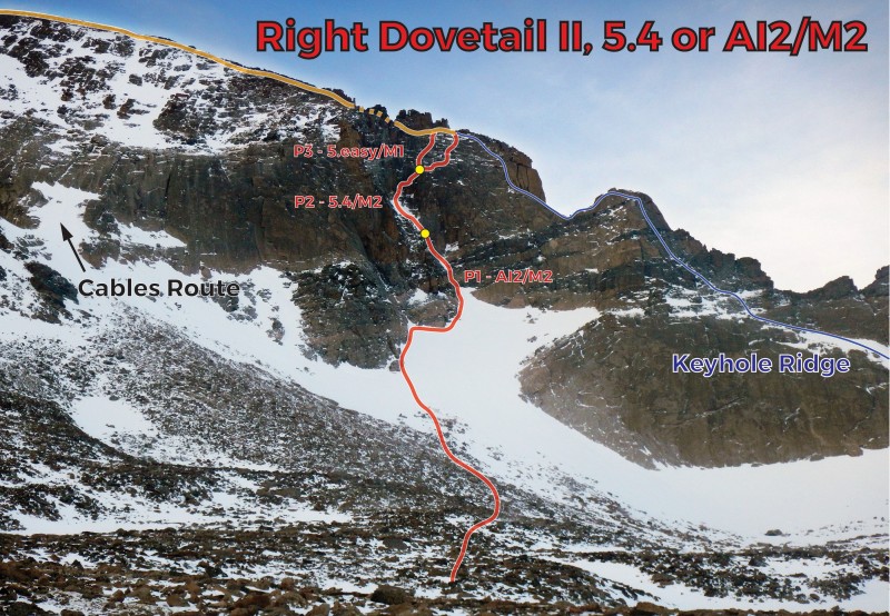
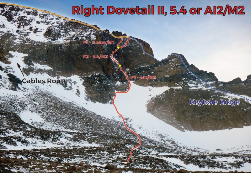
Route: Right Dovetail Couloir
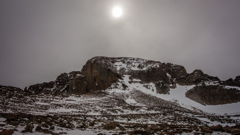
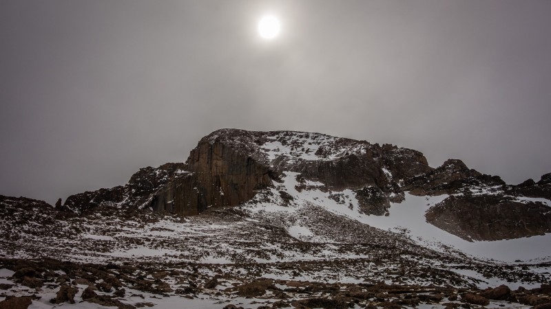
Longs (Photo by Jomah)
The weather threw a wrench into our (Jomah and I) original plans. With an acceptable forecast for Longs, plan B was initiated thanks to a badgering invite by Ryan. After all, I don't have the winter snowflake for Longs.
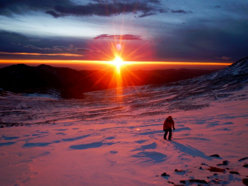
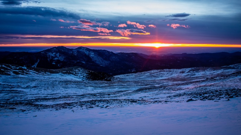
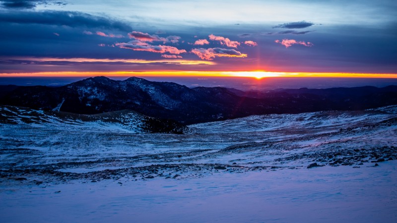
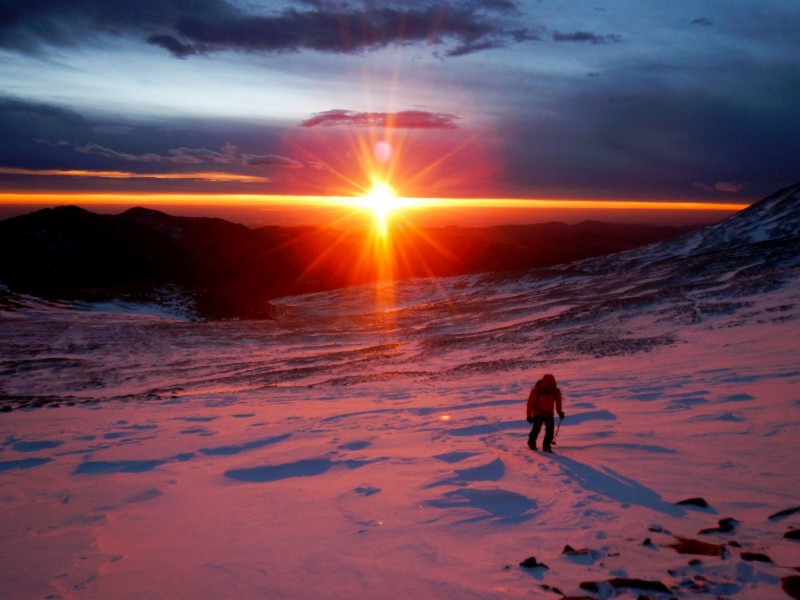
Packed and ready, our team of four started up the well-trodden Longs Peak Trail around 4:40 AM. Progress was quick as we climbed out of treeline to witness an amazing sunrise on the east slopes of Mount Lady Washington. Our objective was an untraveled couloir between the Keyhole and The Cables Route.
Sunrise
Sunrise (Photo by Jomah)
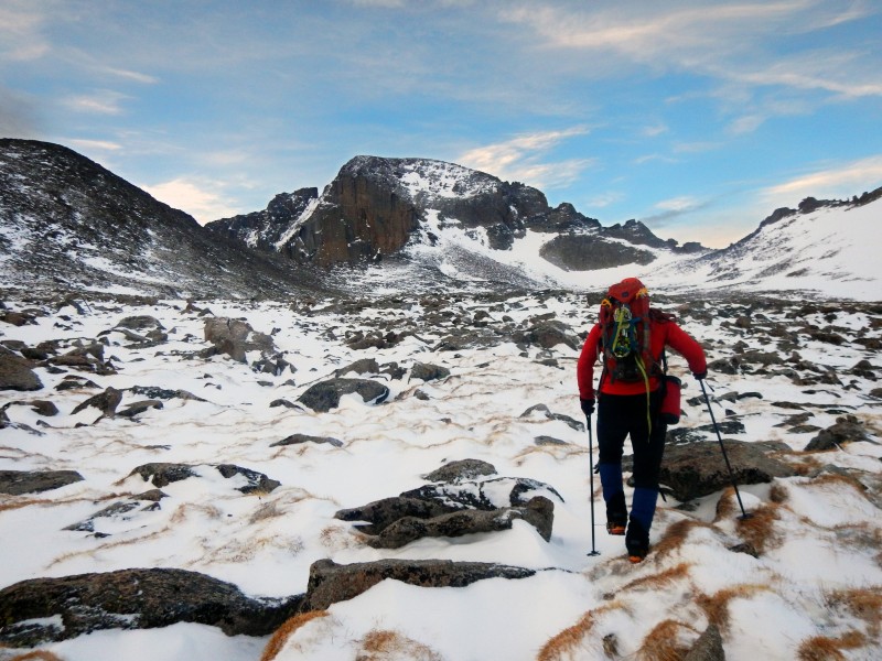
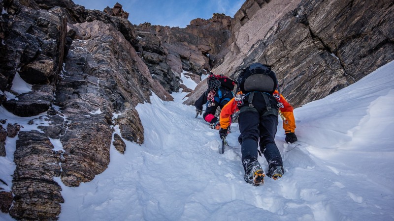
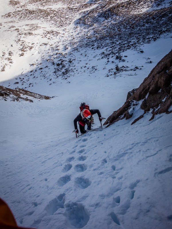
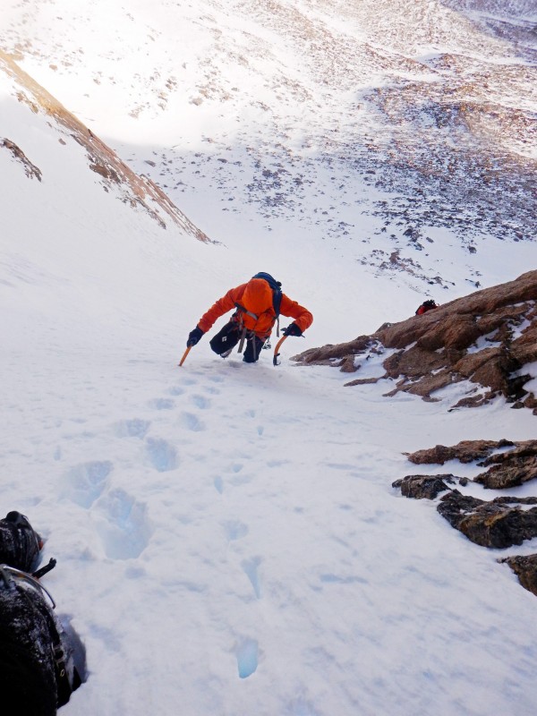
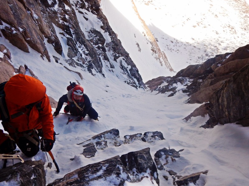
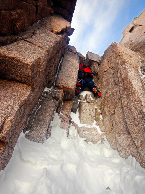
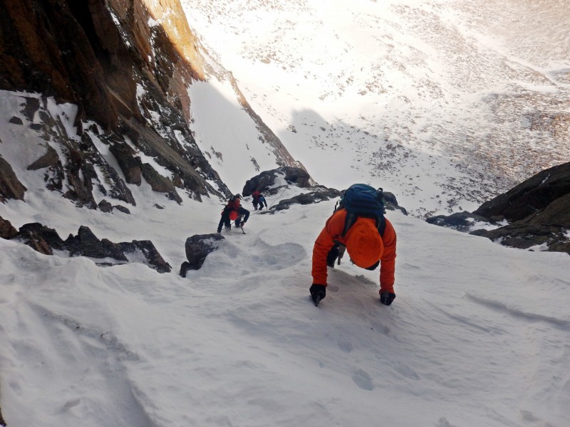
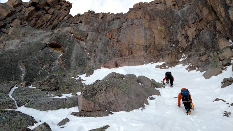
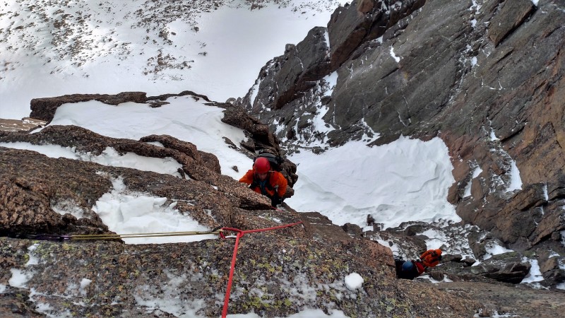
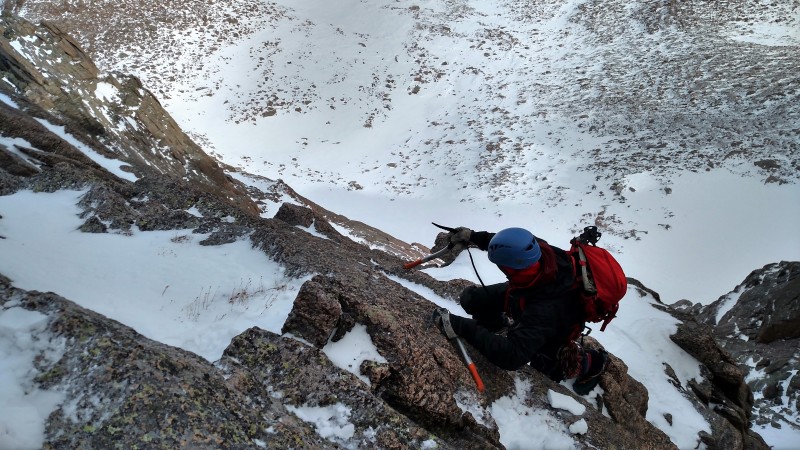
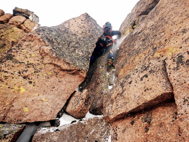
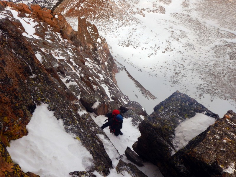
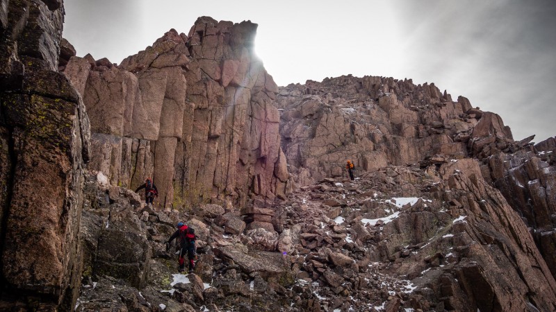
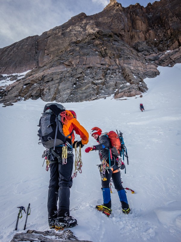
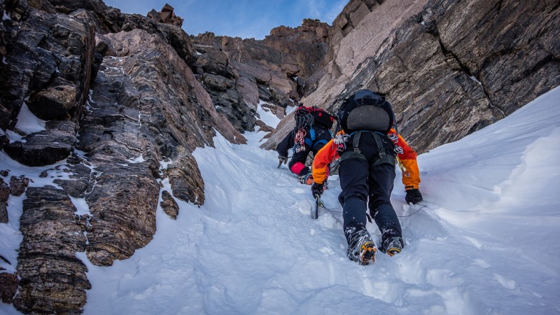
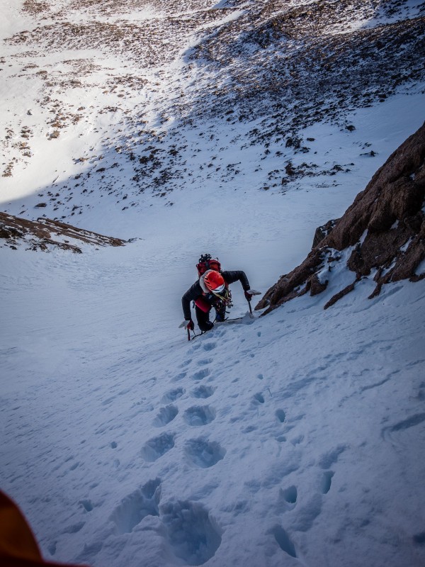
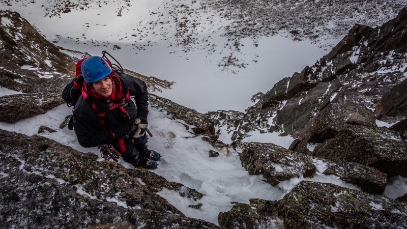
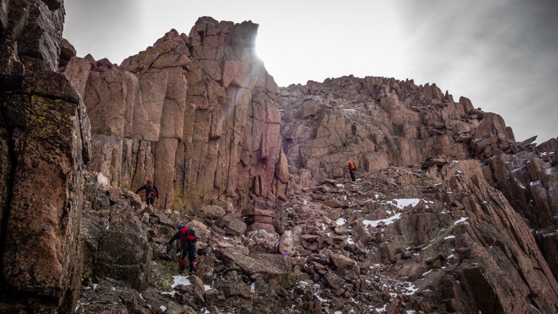
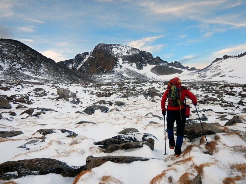
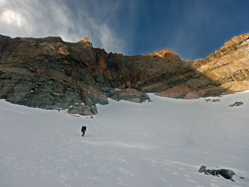
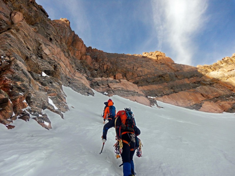
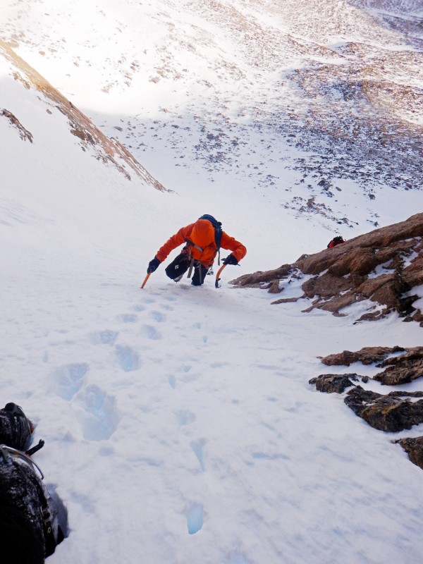
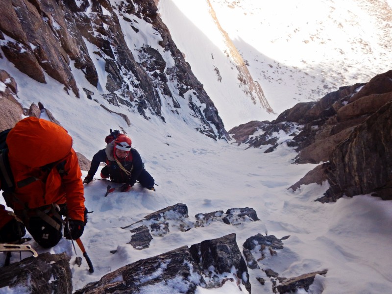
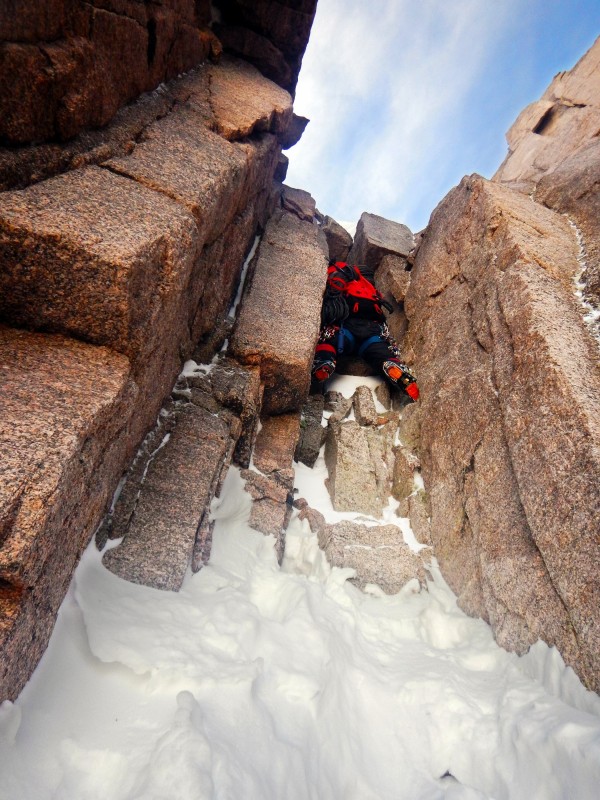
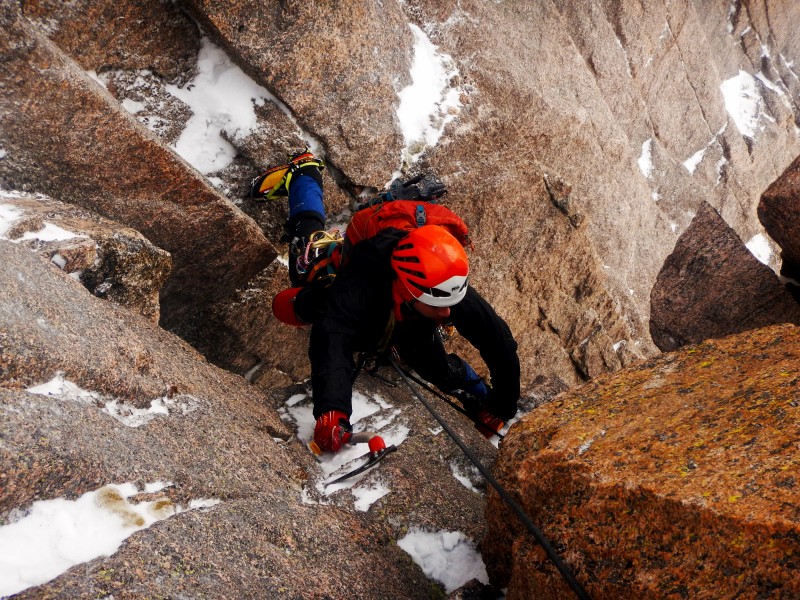
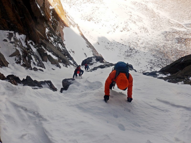
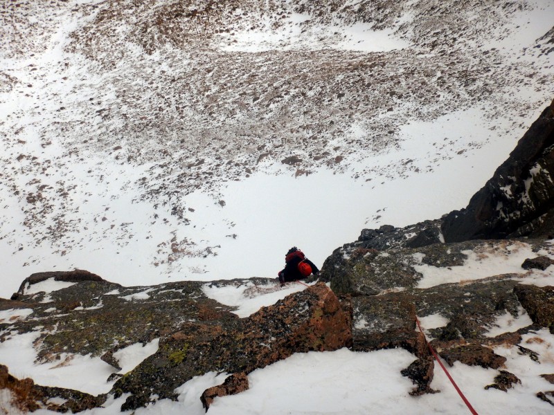
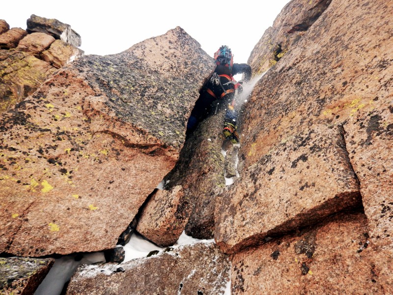
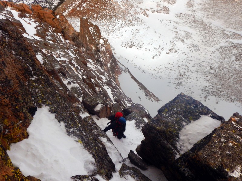
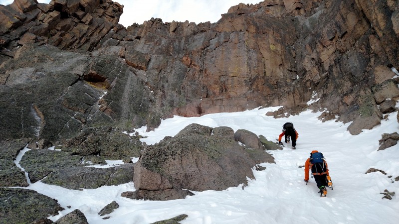
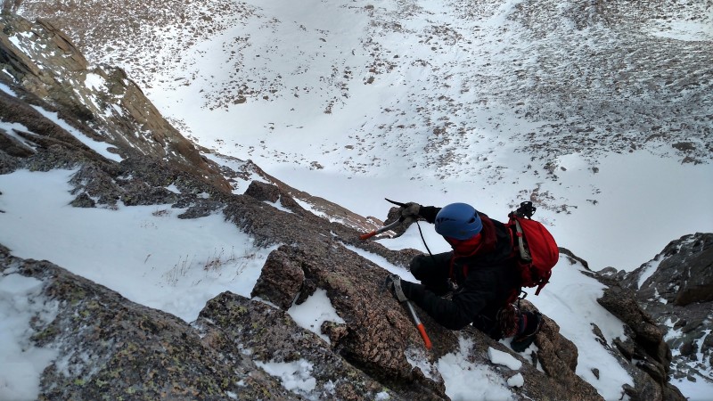
We bounded across the boulders to the start of The Dove snowfield. At first we were a little apprehensive of slide potential but the snow proved to be stabilized and surprisingly good for climbing. Dominic led the way to the right side of the snowfield which included some mixed rock/snow traversing. Enjoyable, steep snow climbing led to the first crux - a snow covered chimney (easy fifth/M2). Dominic soloed to the top.
Boulder Field toward The Dove
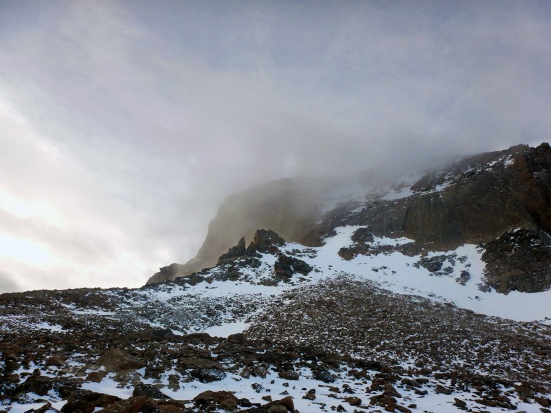
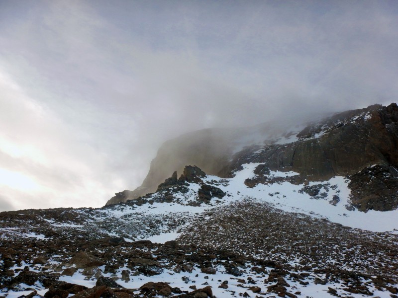
Nice weather over Longs
At the base of The Dove snowfield (Photo by Jomah)
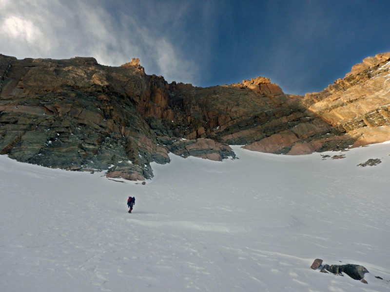
Starting up The Dove
The Dove
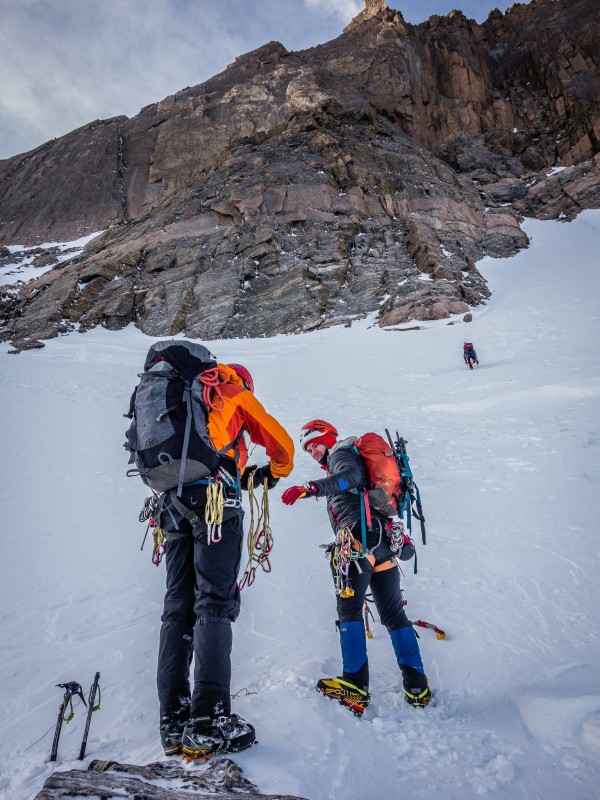
Starting up the couloir (Photo by Jomah)
Staring up the couloir (Photo by Jomah)
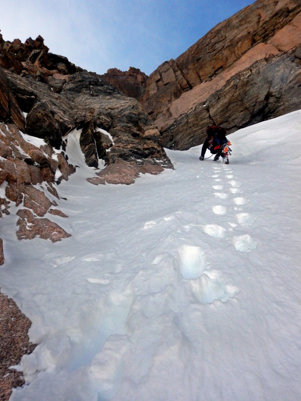
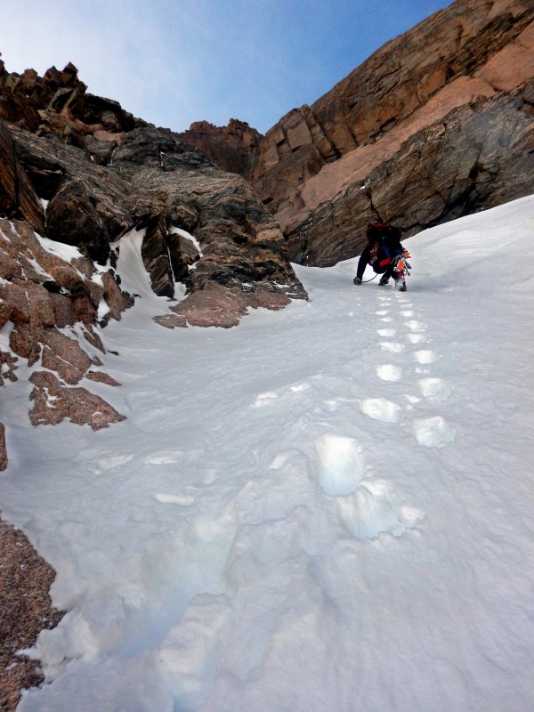
Starting to narrow.
Starting to narrow.
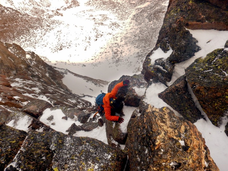
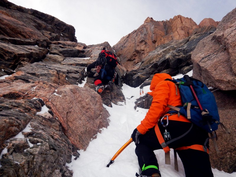
Little mixed to spice things up.
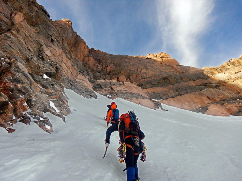
In the couloir
In the couloir
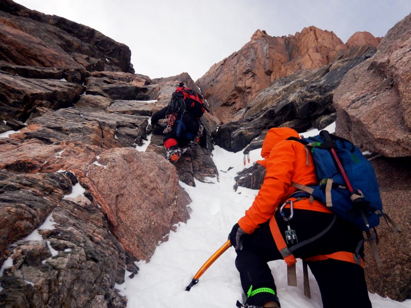
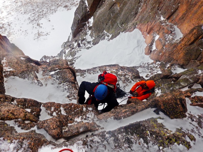
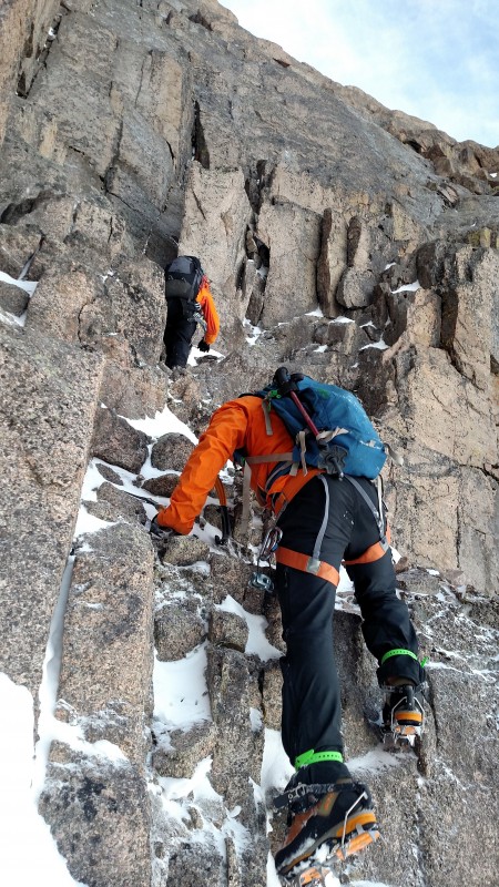
Chimney
Jomah topping out the Chimney
Ryan topping out the chimney
Top of the first pitch (Photo by Jomah)
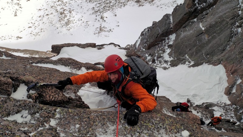
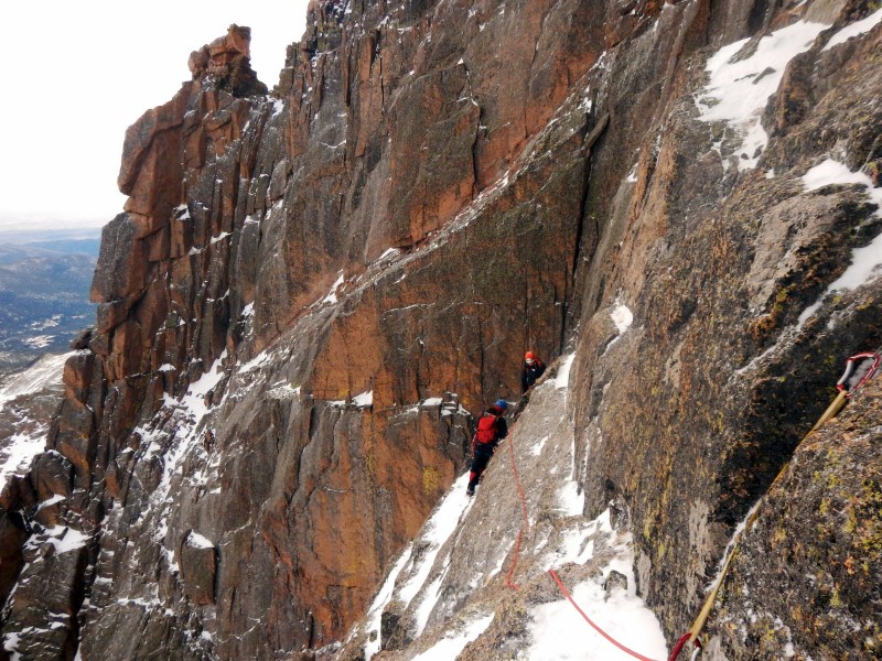
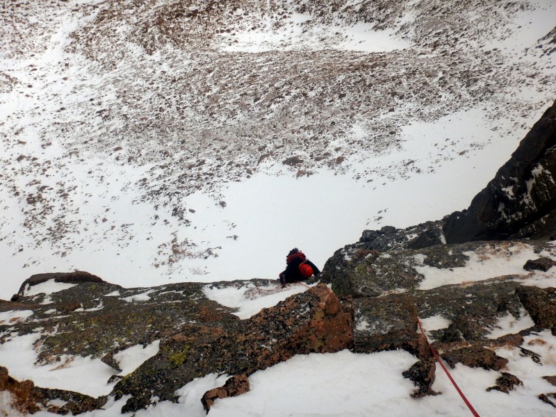
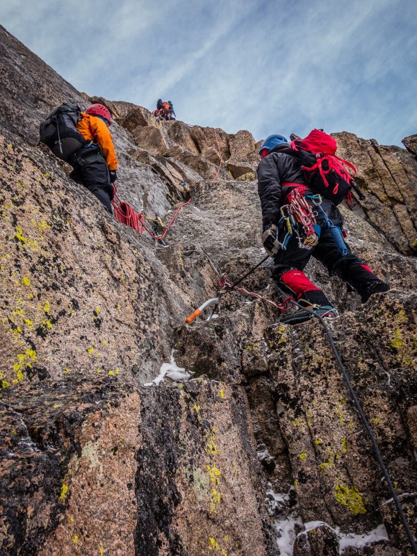
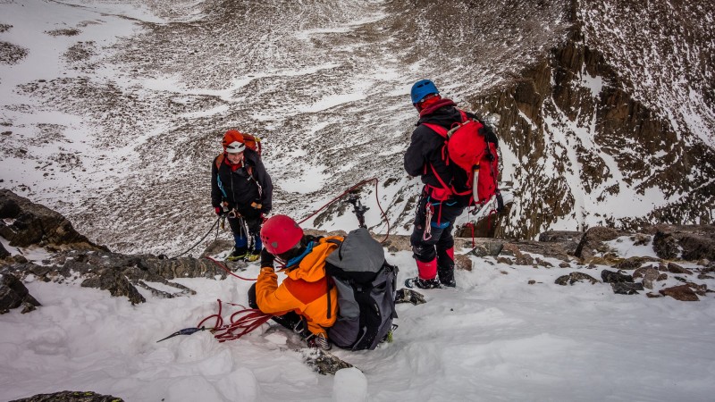
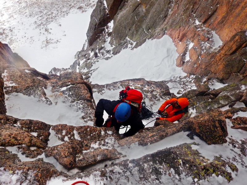
Although we probably could have soloed the chimney, Dominic set a quick belay line which allowed for quick travel for the rest of us through the chimney. After the chimney, more moderate snow guided us up a series of flakes and terraces and the crux of the climb.
Upper snowfield
Second set of snow (photo by Ryan)
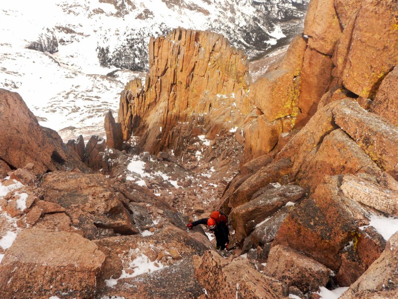
Flakes and terraces
Flakes and ledges (photo by Ryan)
Start of the second pitch (Photo by Jomah)
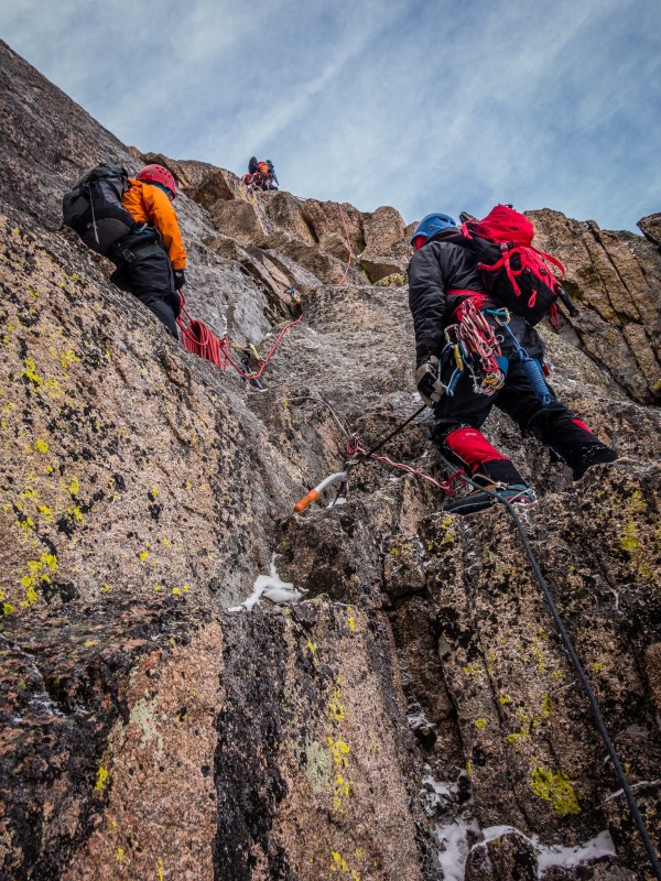
The second pitch (Photo by Jomah)
Starting the second pitch
Starting the second pitch
Second pitch (photo by Ryan)
Second pitch (photo by Ryan)
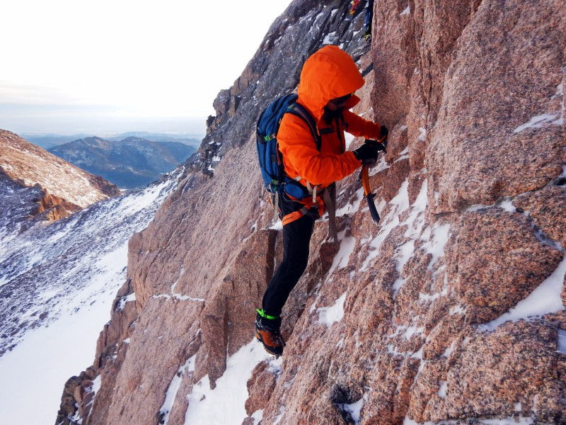
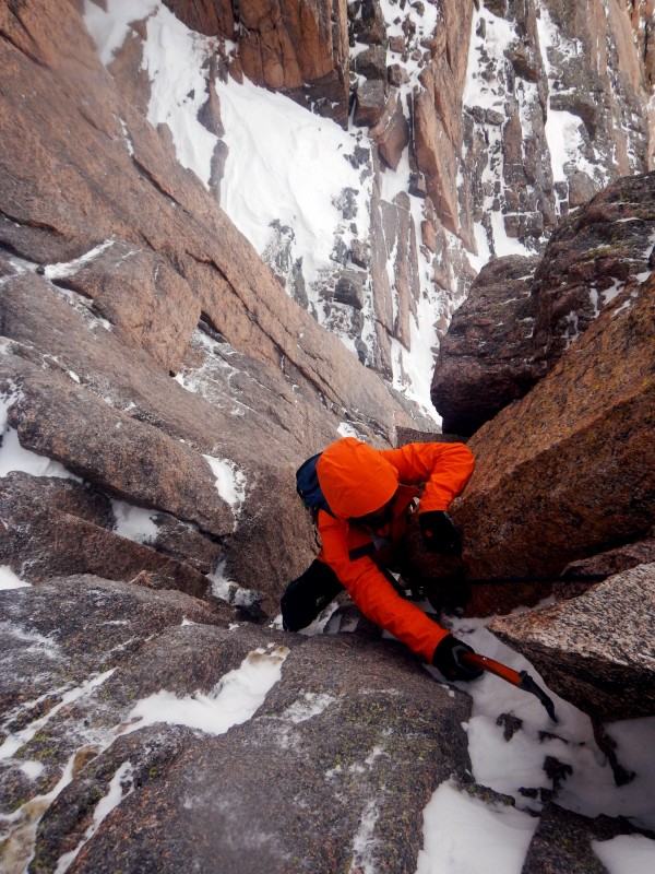
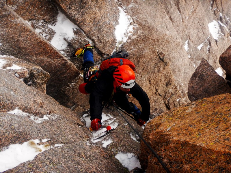
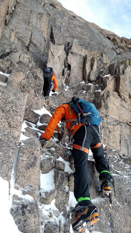
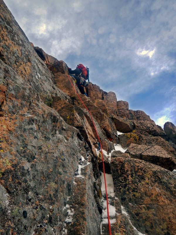
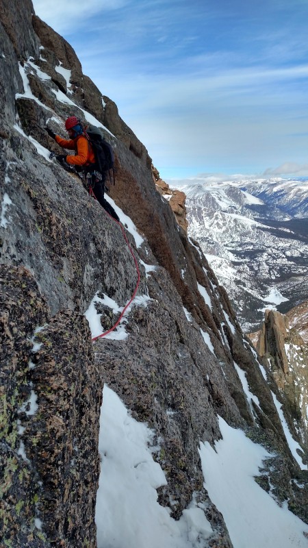
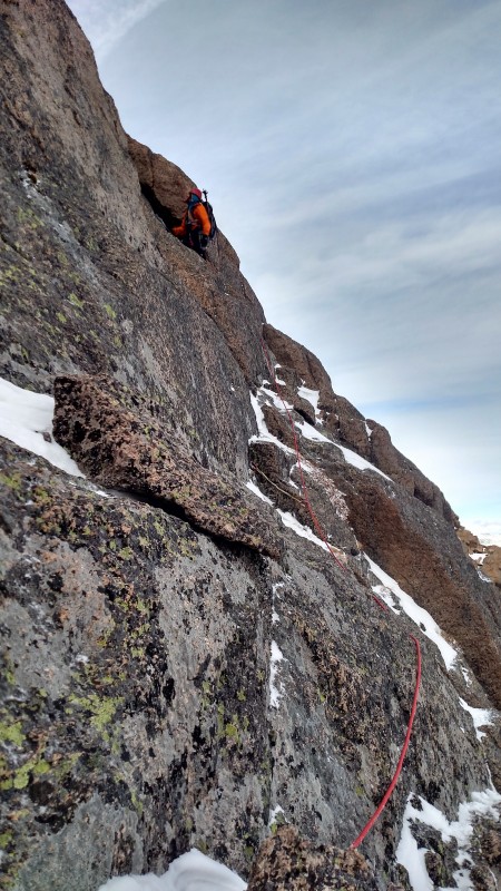
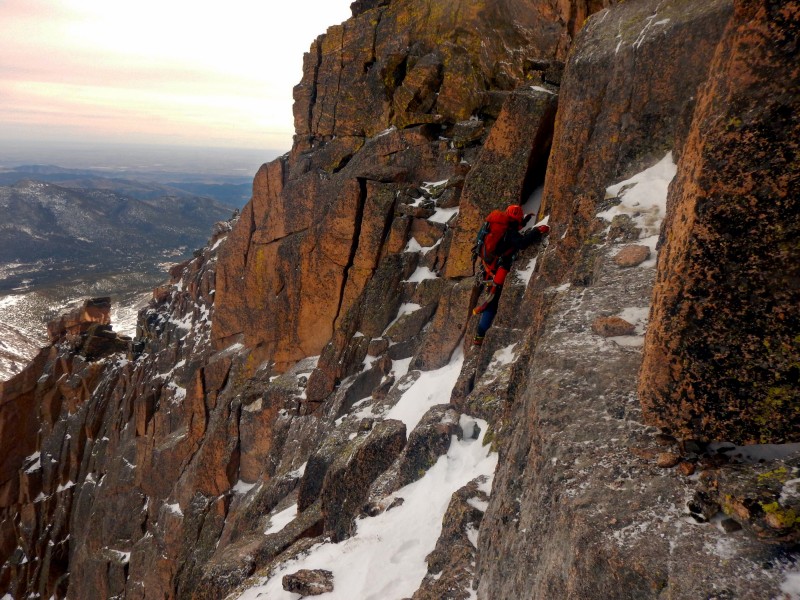
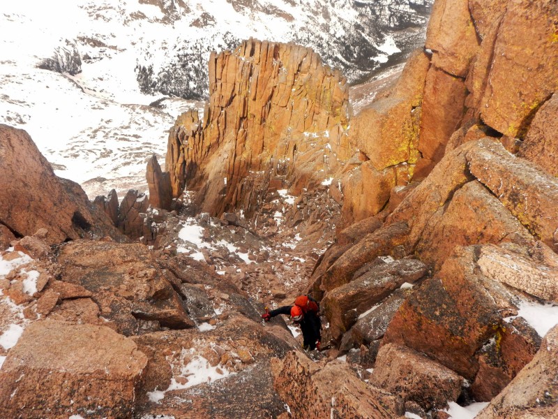
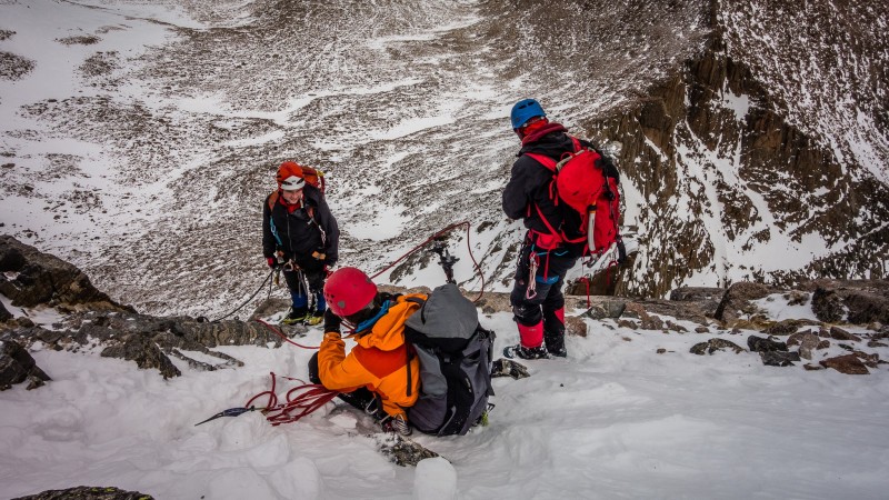
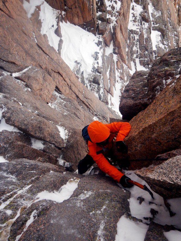
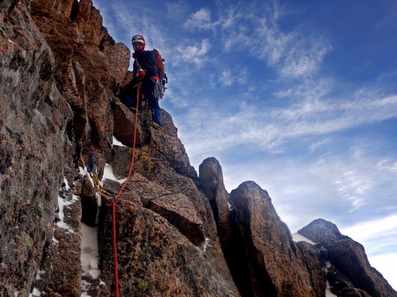
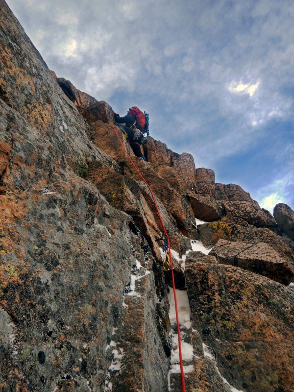
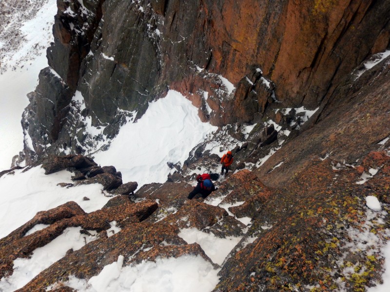
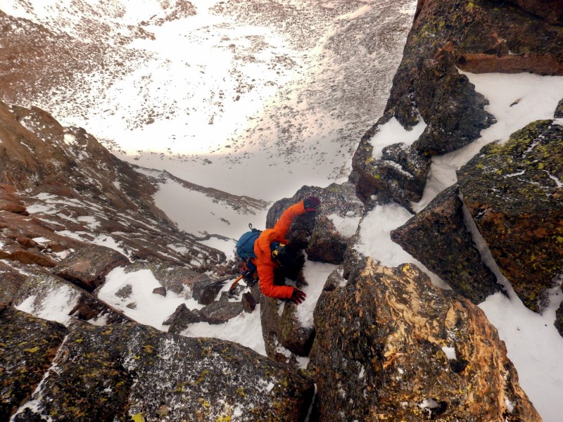
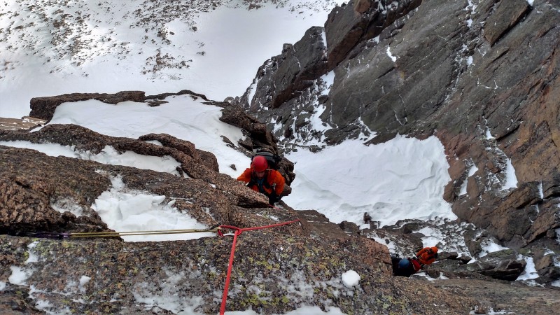
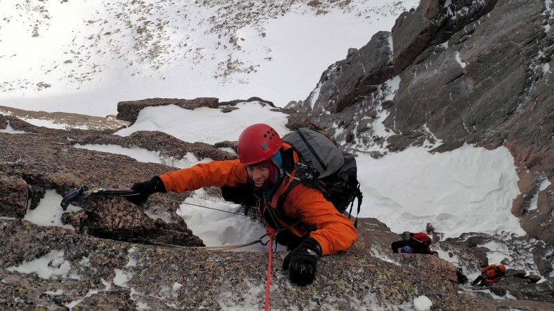
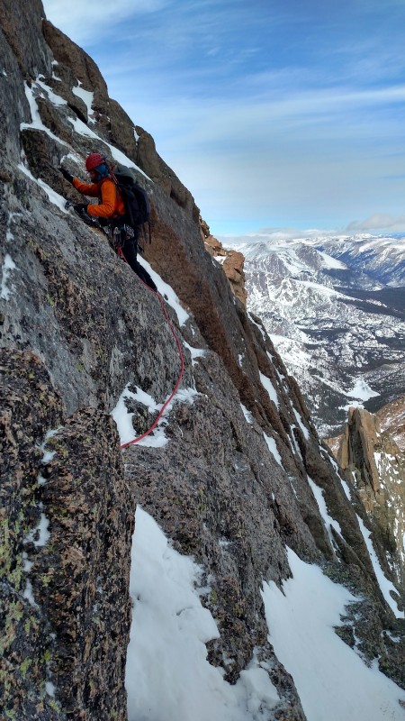
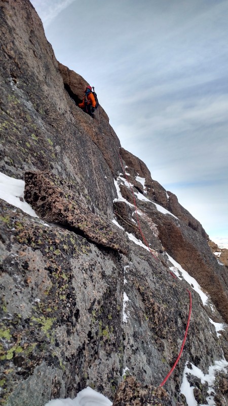
The crux consisted of a few moves of slab covered snow. In the summer this would be a non-event but crampons and snow made things interesting. A belay and rope was welcomed. Since there was only one path through this short crux section, we split into two separate belay parties. Once we were through the crux, we swapped leads as there was more varied terrain for both parties to climb simultaneously.
Crux of the second pitch
Second pitch.
Second pitch (photo by Ryan)
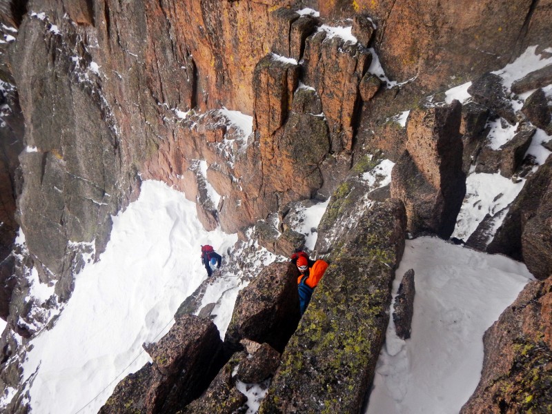
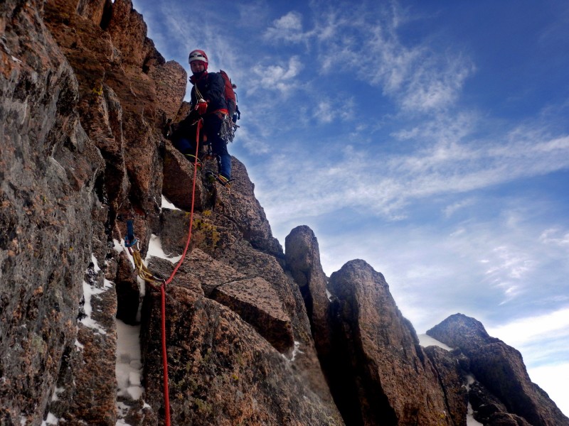
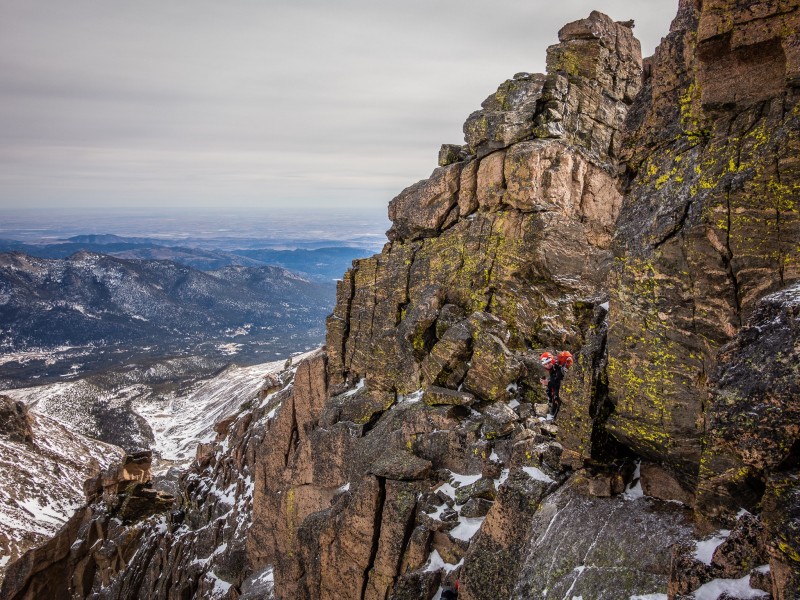
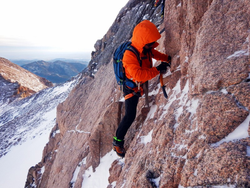
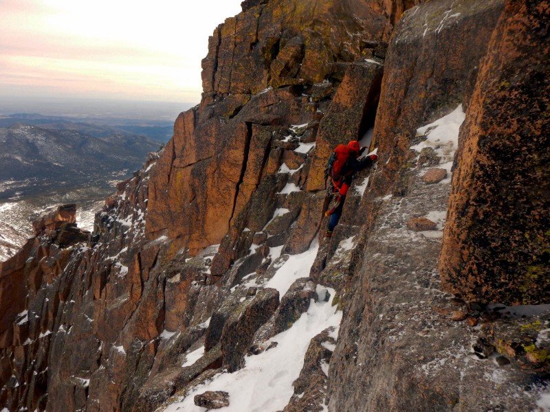
I chose to traverse hard right on some exposed slabs and then ascended through some benches to intersect the Keyhole Ridge while Jomah climbed straight up to the ridge.
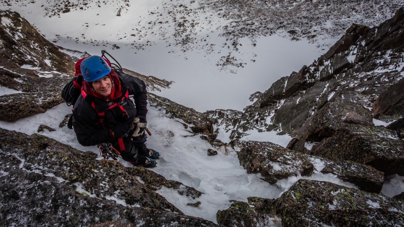
Lovely runout slab on pitch 3.
Third pitch (photo by Ryan)
Third pitch (photo by Ryan)
Topping out on pitch 3
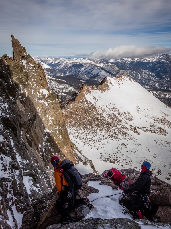
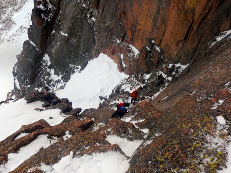
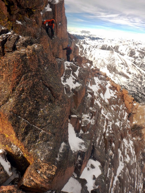
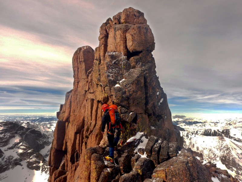
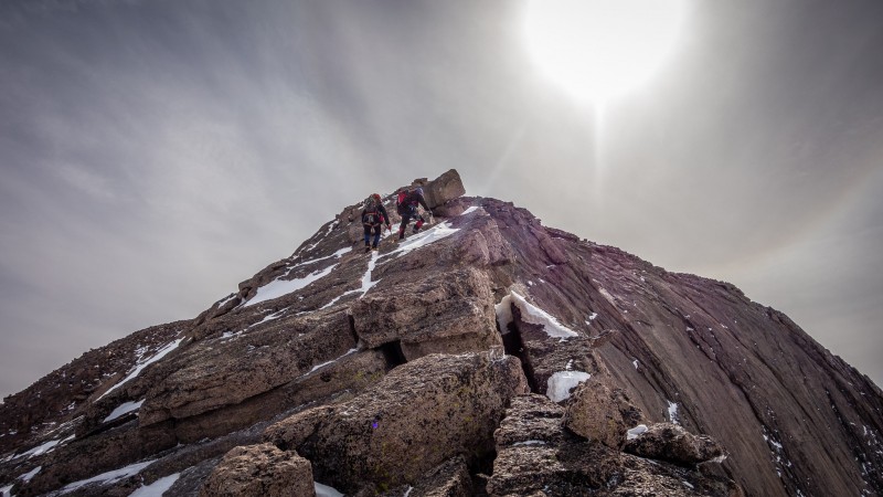
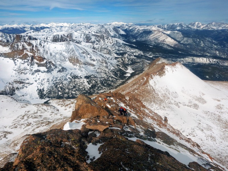
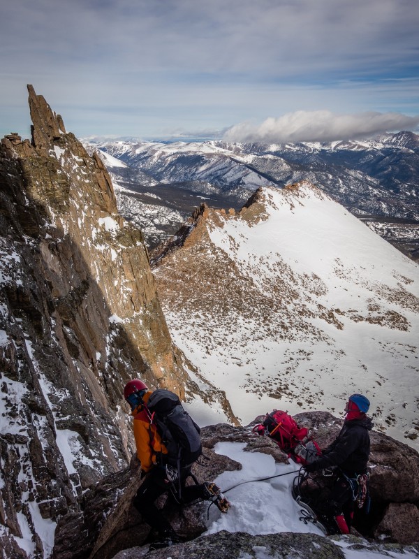
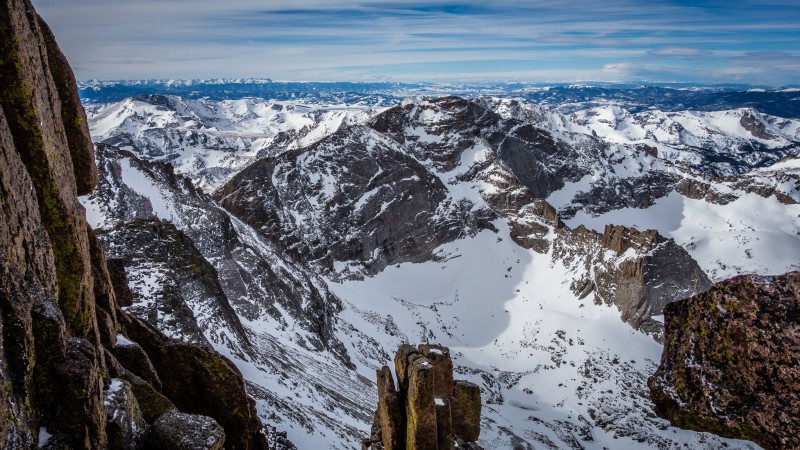
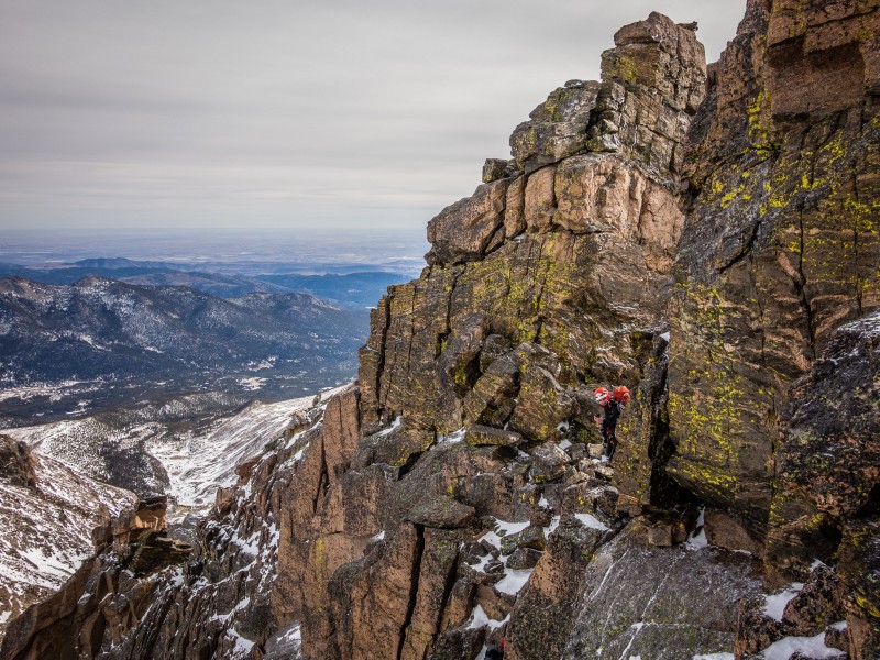
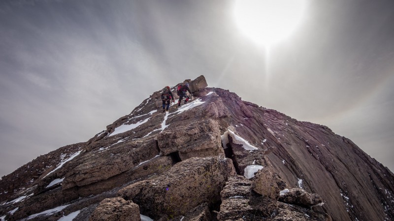
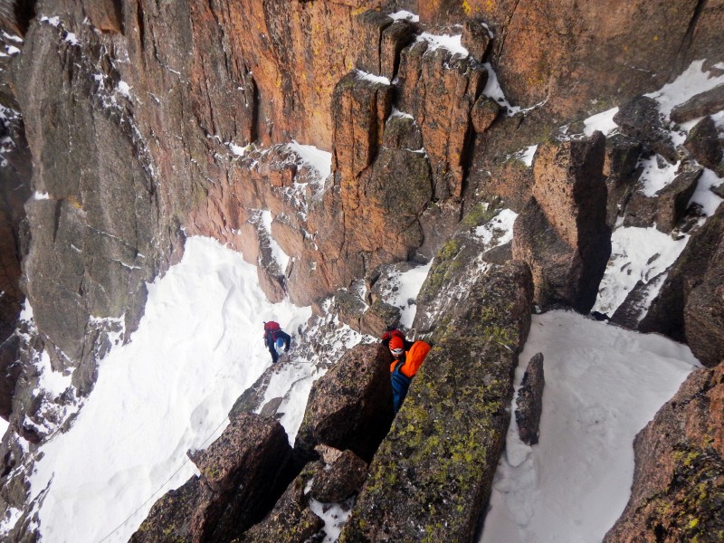
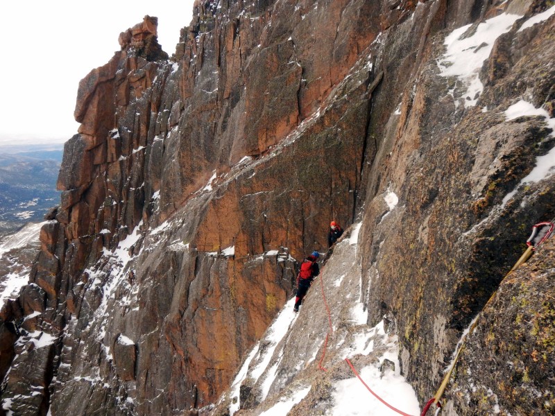
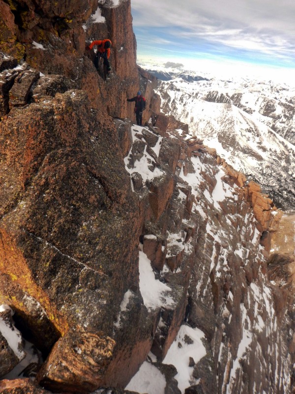
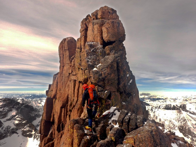
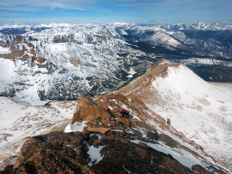
Once on the Keyhole Ridge, more exposed, snow covered scrambling guided us to easier terrain on Longs' north-northeast ridge. We arrived on the summit around 11:20 AM in solitude. Not having a wind on the summit was an enjoyable treat especially in February.
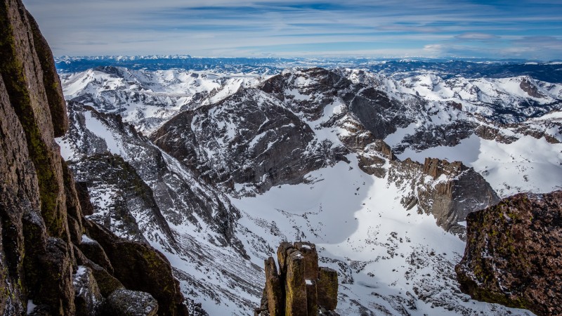
Chiefs Head (Photo by Jomah)
Scrambling on the Keyhole Ridge
Interesting scrambling on the Keyhole Ridge
Airy traversing
Keyhole Ridge
Airy traversing
Airy traversing
Final scramble on the Keyhole Ridge (Photo by Jomah)
Final scramble (Photo by Jomah)
Summit ridge (Photo by Jomah)
Final scramble
Summit Ridge
Since The Cables route appeared relatively snow free and stable, we descended to The Cables Route and did one long simul-rappel with our double ropes. We trotted back down to the Boulder Field and enjoyed the well-packed snow all the way back to the trailhead arriving at 2:20 PM. Fantastic weather, partners and route. Who could ask for more?
Rappeling the north face (Photo by Jomah)
Route Topo
Thumbnails for uploaded photos (click to open slideshow):
Dynamite alpine route! Magnificent terrain, challenging route finding, awesome views...way to go guys!
Caution: The information contained in this report may not be accurate and should not be the only resource used in preparation for your climb. Failure to have the necessary experience, physical conditioning, supplies or equipment can result in injury or death. 14ers.com and the author(s) of this report provide no warranties, either express or implied, that the information provided is accurate or reliable. By using the information provided, you agree to indemnify and hold harmless 14ers.com and the report author(s) with respect to any claims and demands against them, including any attorney fees and expenses. Please read the 14ers.com Safety and Disclaimer pages for more information.
Please respect private property: 14ers.com supports the rights of private landowners to determine how and by whom their land will be used. In Colorado, it is your responsibility to determine if land is private and to obtain the appropriate permission before entering the property.